

Travel Overview
2026: Various Hikes / Tours
2025: Various Hikes / Tours
2024: Various Hikes / Tours
2023: Hiking Swiss Alps
2023: Various Hikes / Tours
2022: Various Hikes / Tours
2021: Various Hikes / Tours
2020: Hiking Swiss Jura Crest & Alpine Panorama Trail
2020: Hiking Swiss Alps
2020: Various Hikes / Tours
2019: Hiking 4 Days in Swiss Alps, Furka & Grimsel
2019: Hiking 5 Days Gotthard Region
2016: Tour Aare, Les Doubs & Rhein
2015: France & Italy
2014: Central Europe
2013: France & Italy
2012: Italy & France
2011: Europe: Three Tours
 2010: India
2009: France: Two Tours
2008: Tour de Romandie
2008: Zug - Bern - Zug
2008: Strasbourg
2008: Europe
2007: France
2005: France & Italy
2004: USA: Denver - Sedona
2004: Lenzburg - Marseille
2004: La Gomera
2003: Sardinien
2003: La Gomera
2002: Korsika
2002: Bordeaux - Hendaye
1998: Switzerland
1997: USA
1996: USA: Colorado & Arizona
2010: India
2009: France: Two Tours
2008: Tour de Romandie
2008: Zug - Bern - Zug
2008: Strasbourg
2008: Europe
2007: France
2005: France & Italy
2004: USA: Denver - Sedona
2004: Lenzburg - Marseille
2004: La Gomera
2003: Sardinien
2003: La Gomera
2002: Korsika
2002: Bordeaux - Hendaye
1998: Switzerland
1997: USA
1996: USA: Colorado & Arizona
Spirituality Overview
My Experiences with Channeling
Protection of ...
Earthkeeper Vision
Art of Descension
Reincarnation and The Self
Multidimensional Realities
Third Eye
Spiritual Evolution
I Am The Light
Sleeping Humankind
Numbers
Spirit Diary
Quotes
|
"Yes, we can."
Barack Obama |
2007: France
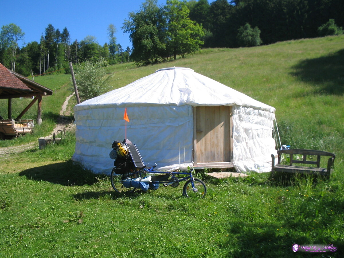
Quick FactsDate: May 19th - 25th 2007Duration: 7 days Distance: 750 km, ca. 105km per day Countries: Switzerland, France Cities: Zürich, Basel, Montbeliard, Besancon, Dole, Geneve Bicycle: Fateba L1 longerider recumbent
Camping: Commercial campgrounds and wild camping
Between Mulhouse und Montbeliard you can ride near the channel on a dedicated bicycle road, ca. 27km. After Montbeliard to Besancon is very hilly, and from Besancon to St. Vit again a bicycle road (ca. 30km). The climbing from Pont d'Ain to Nantua is steep, ca. 400-500 Hm on a couple of km.
 Start in Oberdürnten 2007/05/19 08:54 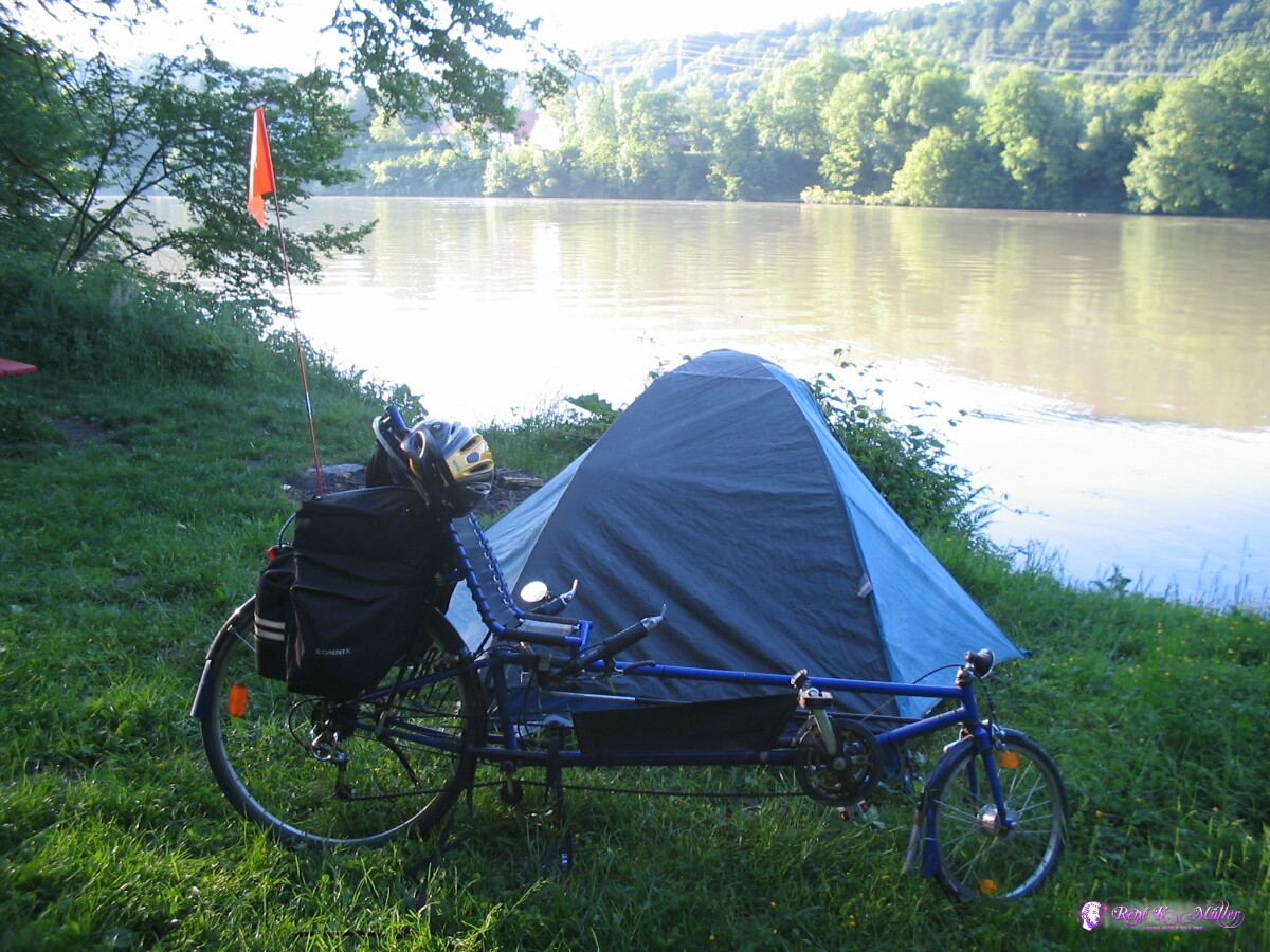 Near Wallbach (1) 2007/05/19 17:26  Near Wallbach (2) 2007/05/20 06:17 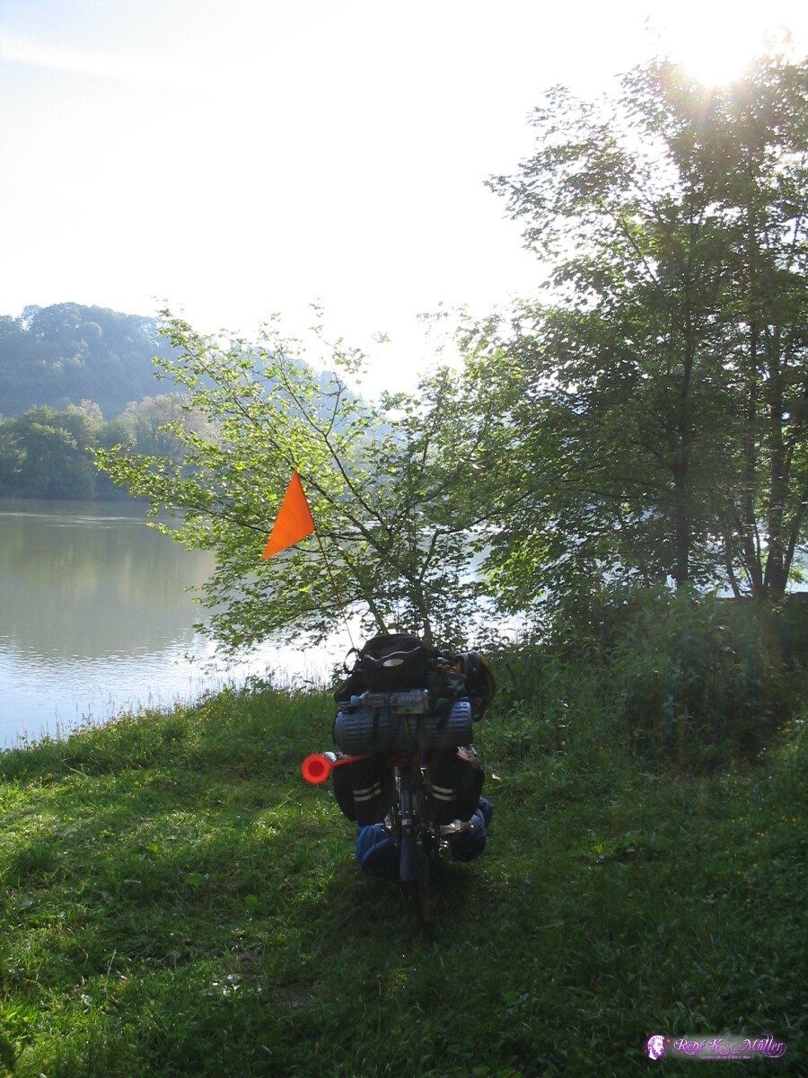 2007/05/20 06:17 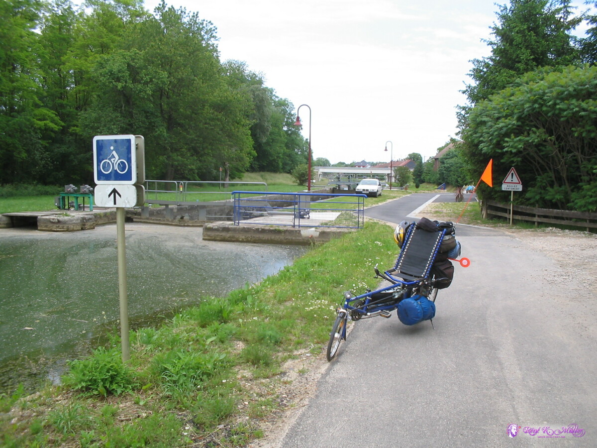 Dannemarie: Canal du Rhone au Rhin 2007/05/20 12:13 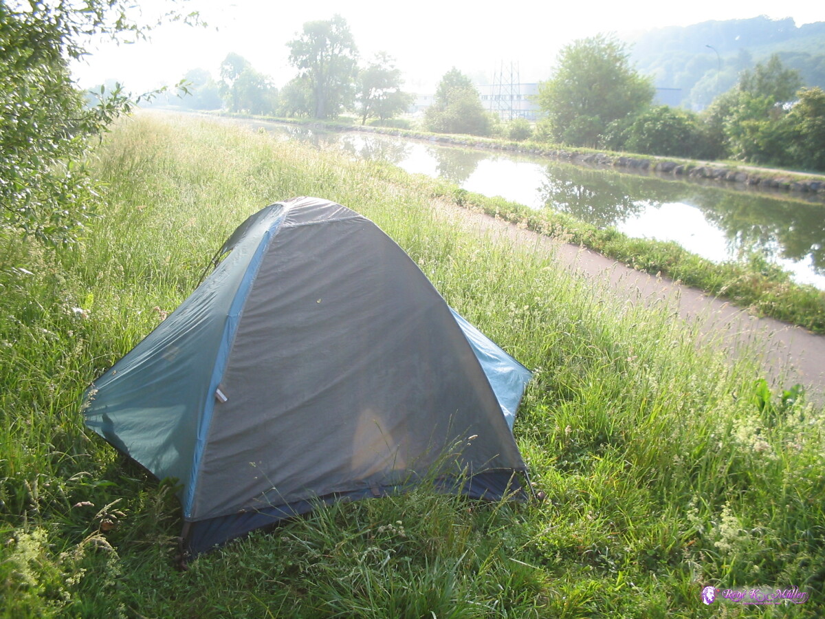 Montbeliard 2007/05/21 06:04 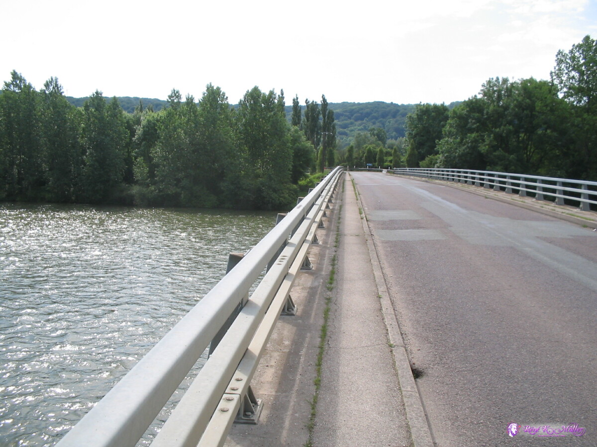 2007/05/21 08:52 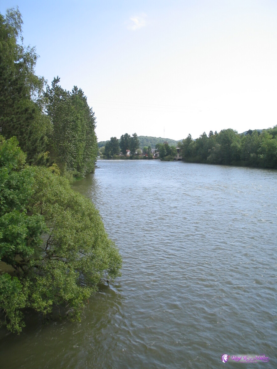 2007/05/21 08:52 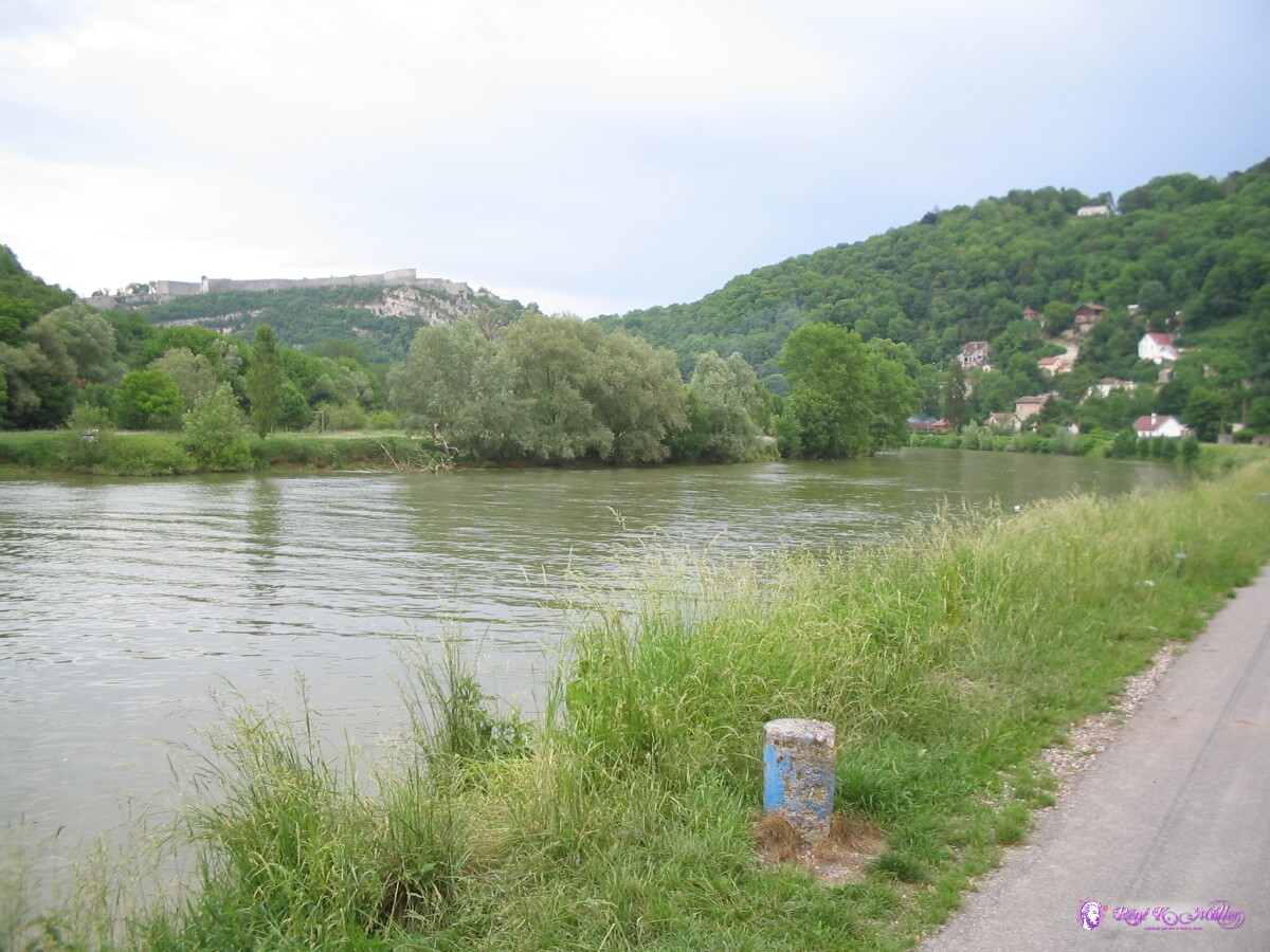 After Besancon 2007/05/21 14:50 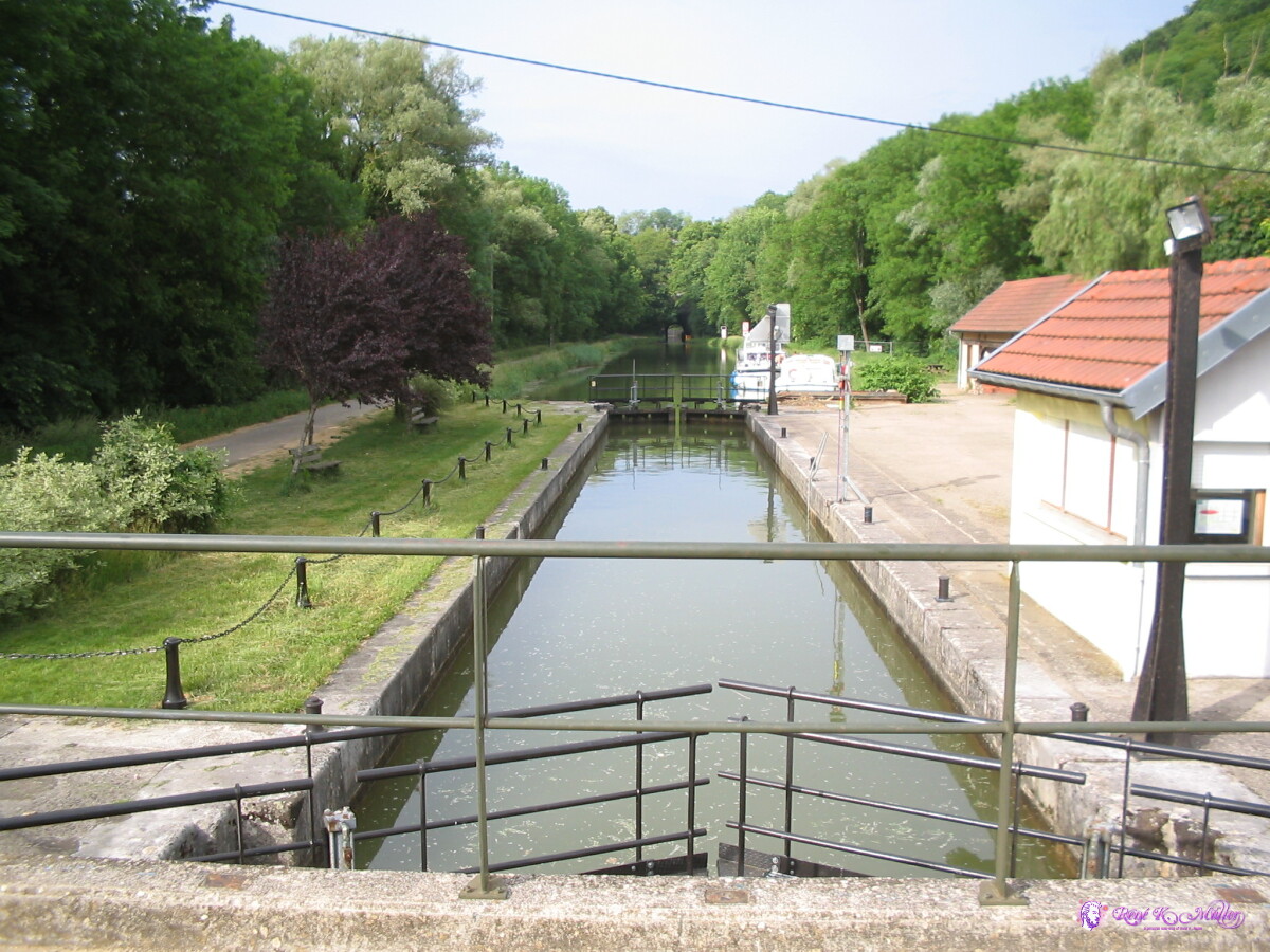 Channel Tunnel 2007/05/21 16:03 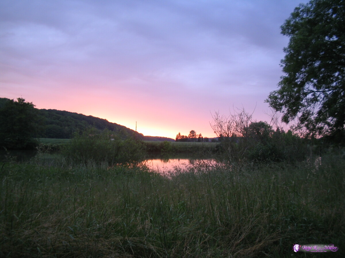 Sunset (1), Routelle 2007/05/21 18:59 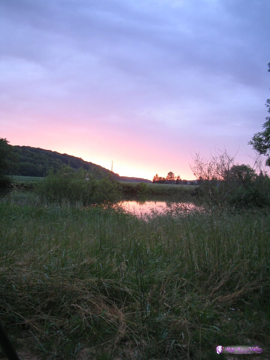 Sunset (2), Routelle 2007/05/21 18:59 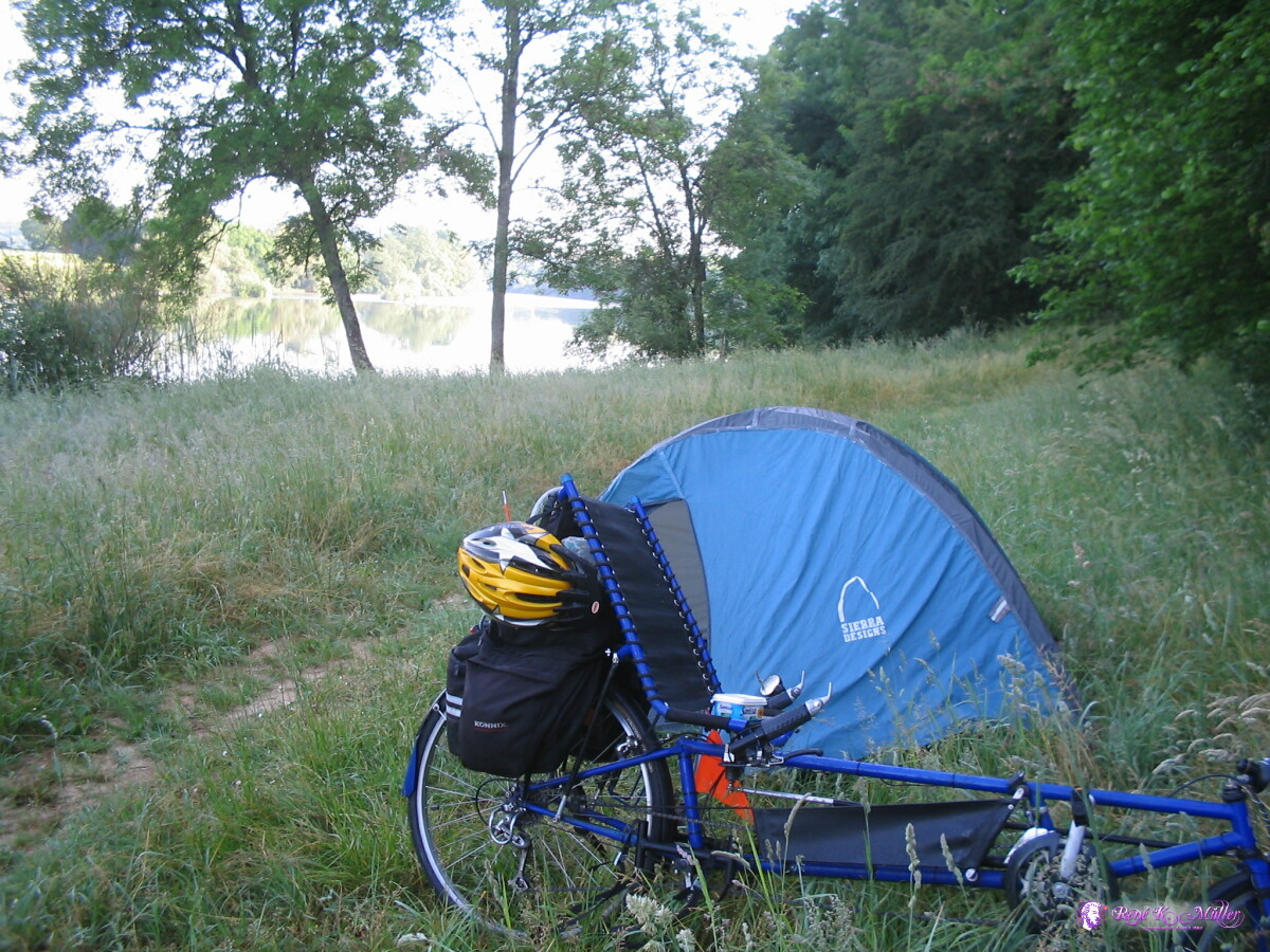 Near Routelle 2007/05/22 06:00 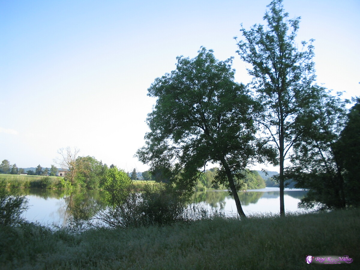 Near Routelle 2007/05/22 06:01 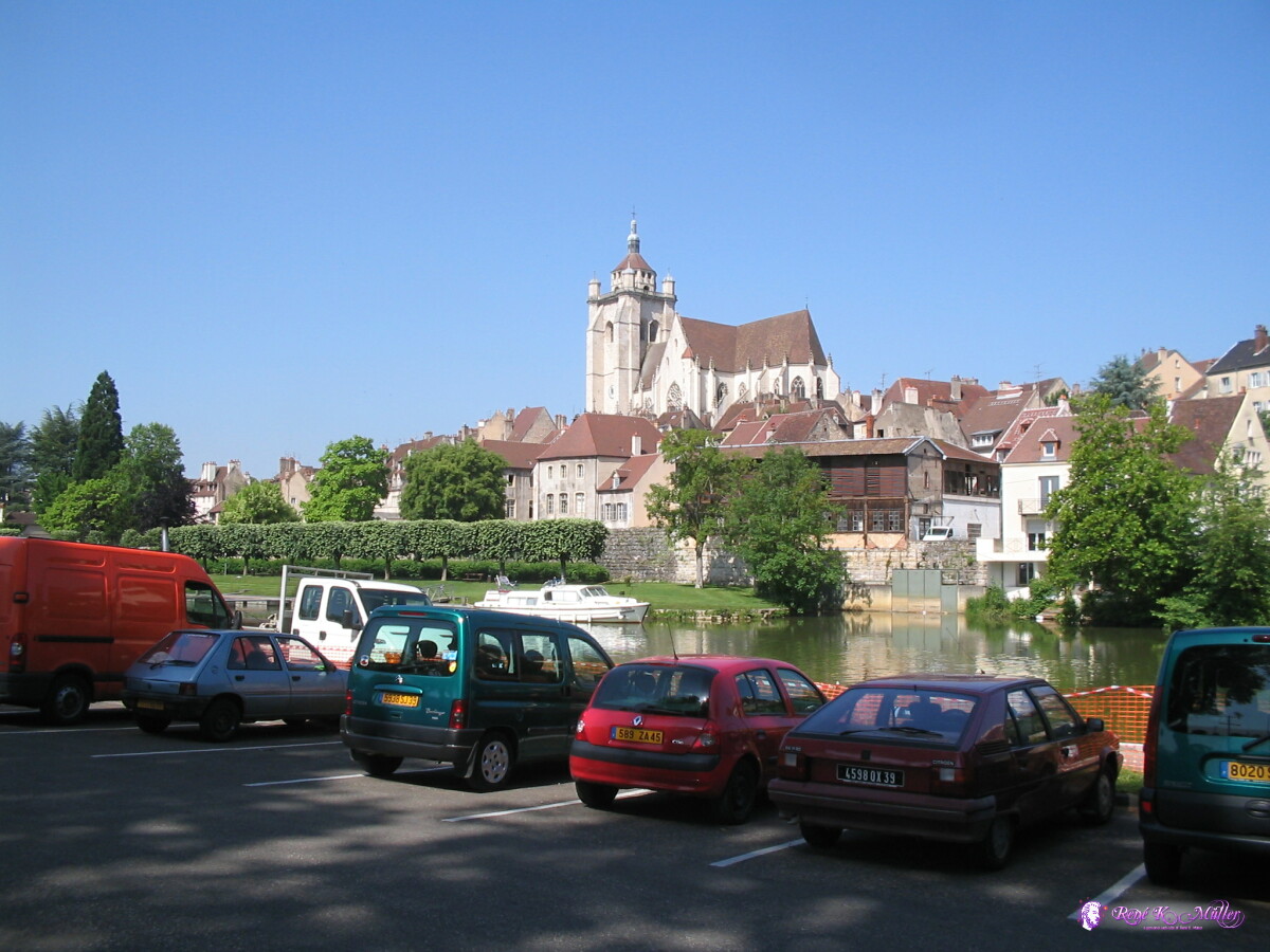 Dole 2007/05/22 08:58 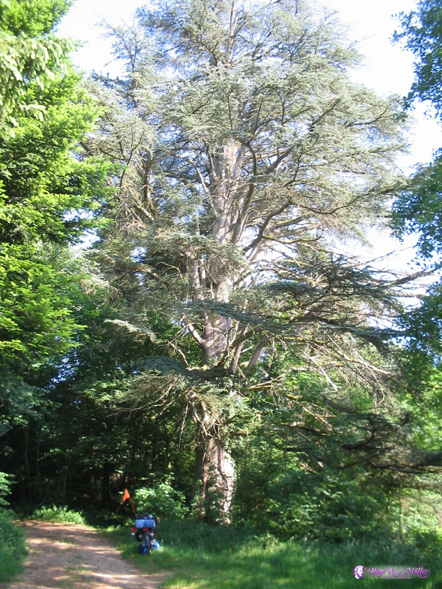 Beautiful Tree (near St. Armour) 2007/05/22 15:56 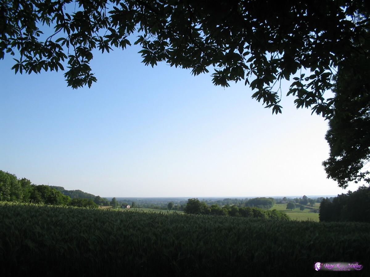 Near St. Armour 2007/05/22 17:06 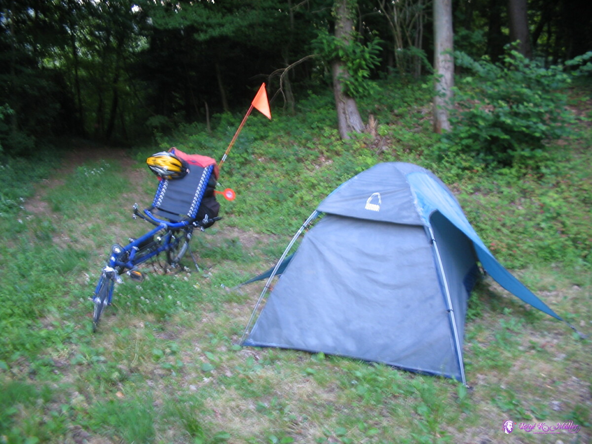 Near St. Armour 2007/05/23 05:06 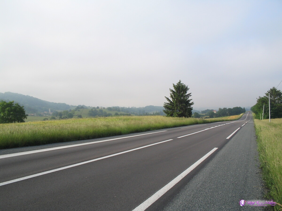 After St. Armour 2007/05/23 06:34 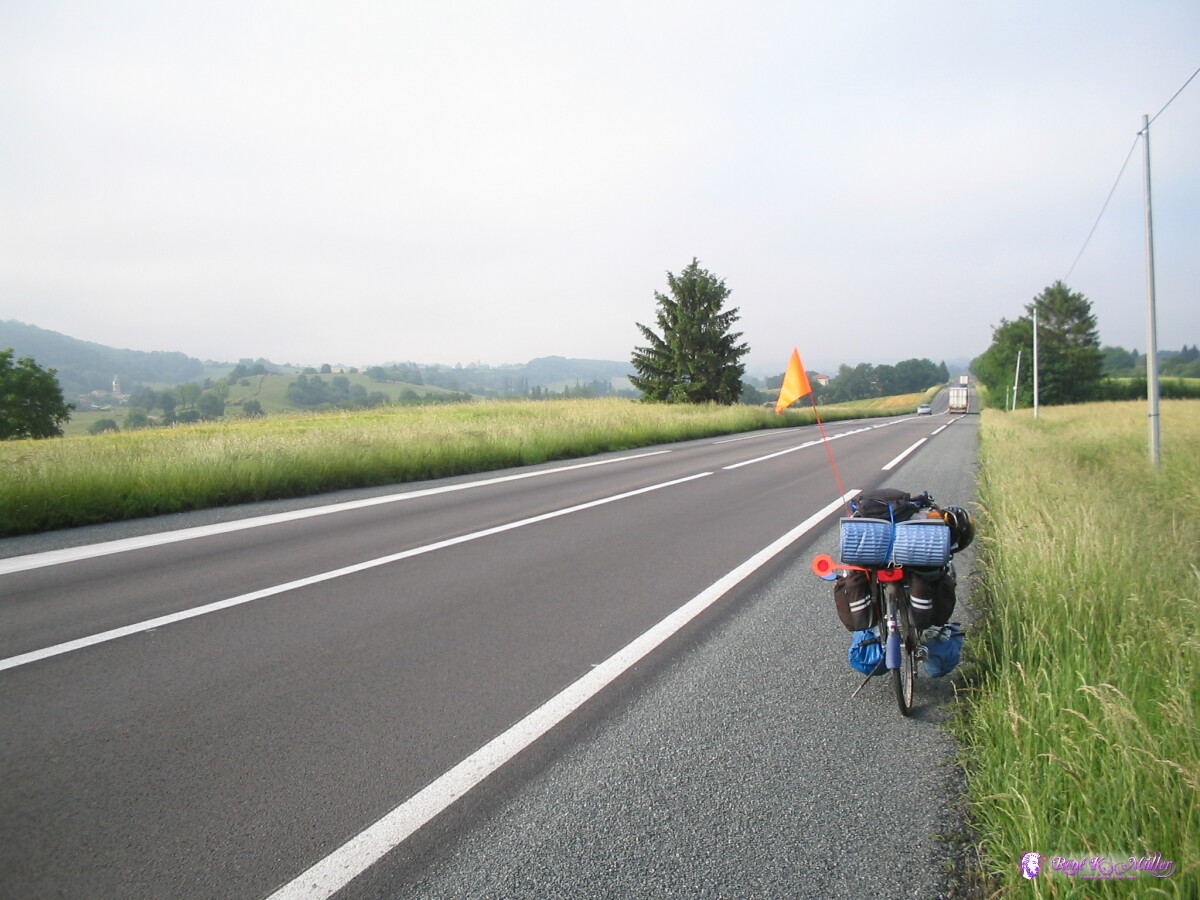 After St. Armour 2007/05/23 06:34 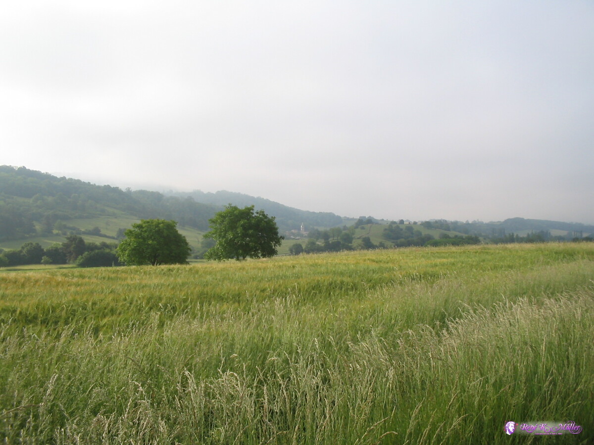 2007/05/23 06:35 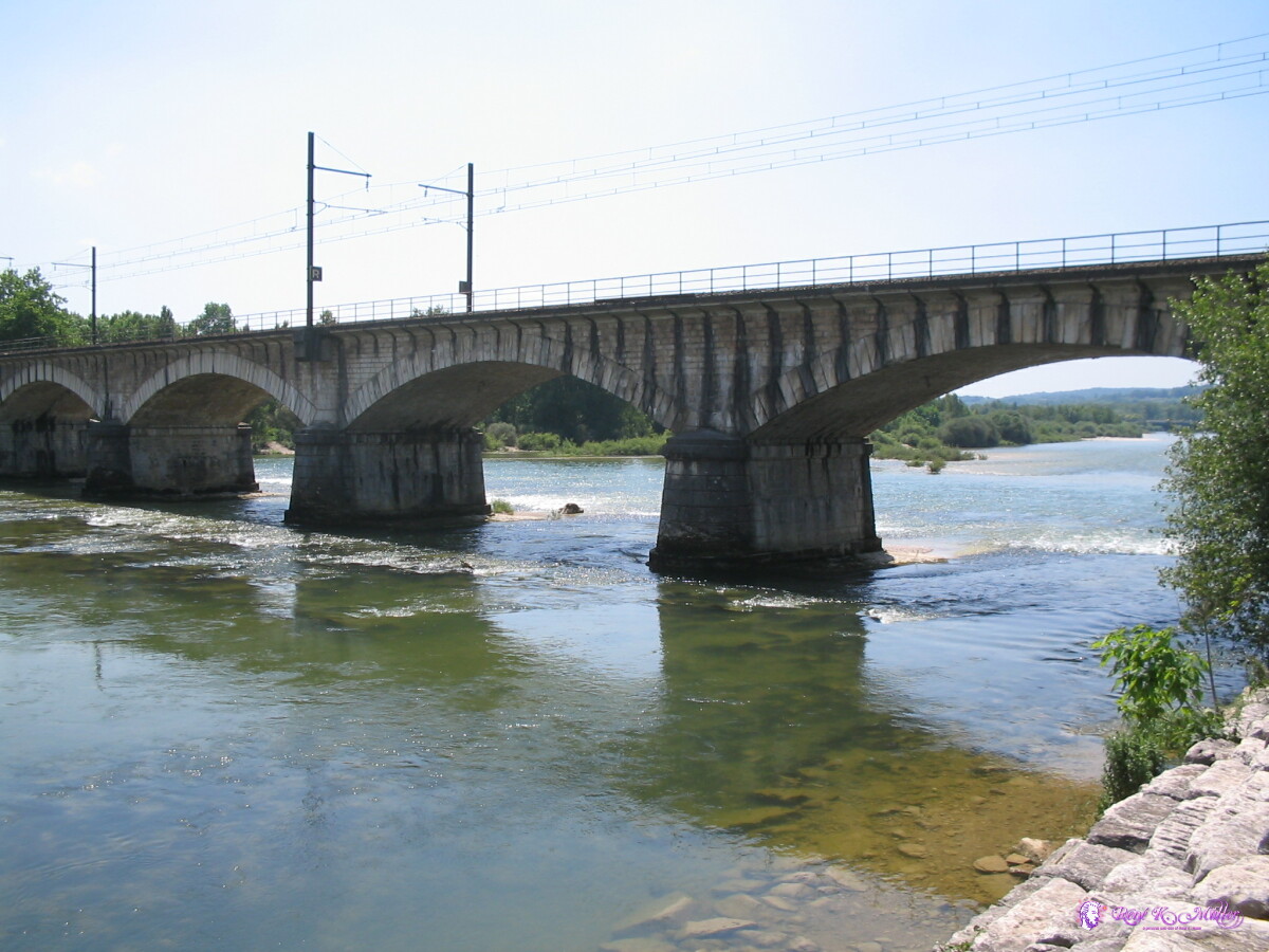 Pont d'Ain 2007/05/23 12:04  Sicht zurück auf Poncin (1) 2007/05/23 14:51 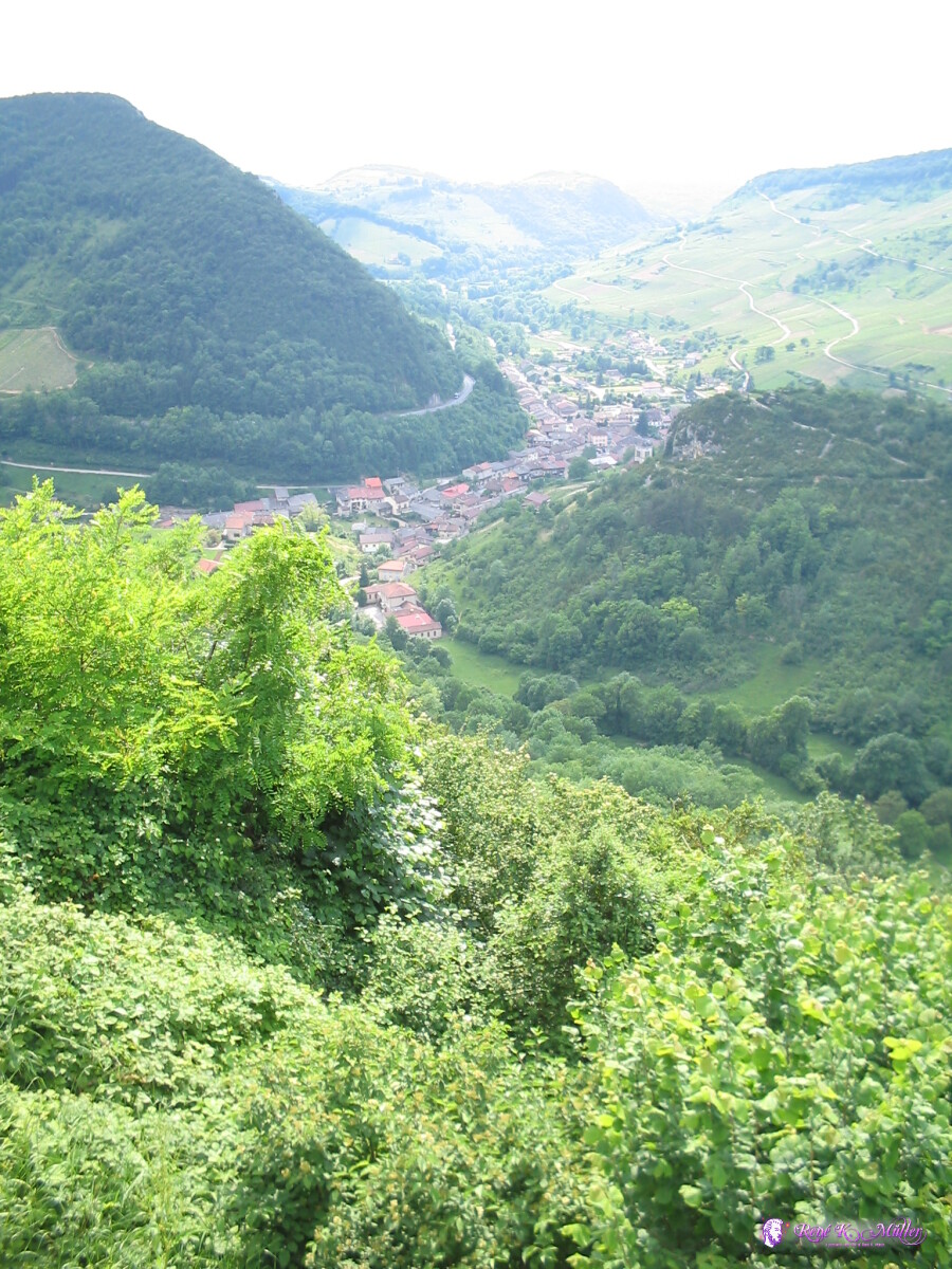 Sicht zurück auf Poncin (2) 2007/05/23 14:51  Aussichtspunkt nach Poncin 2007/05/23 14:51 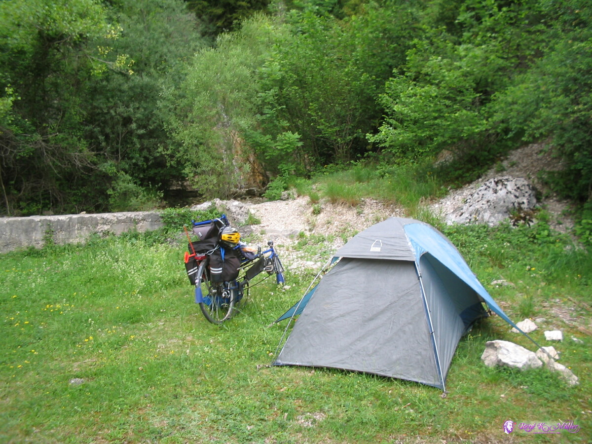 Before Nantua (1) 2007/05/23 16:11 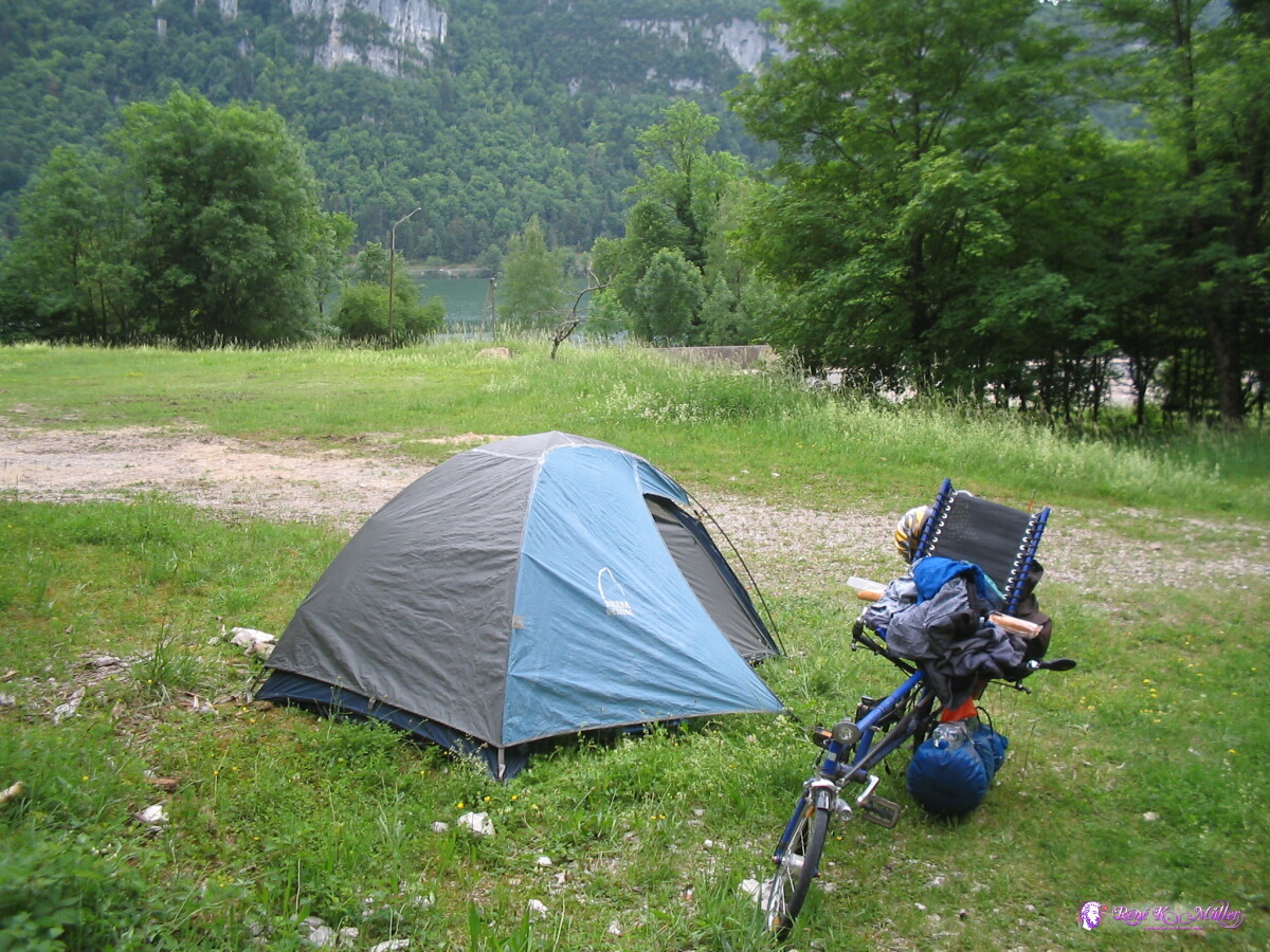 Before Nantua (2) 2007/05/23 16:11 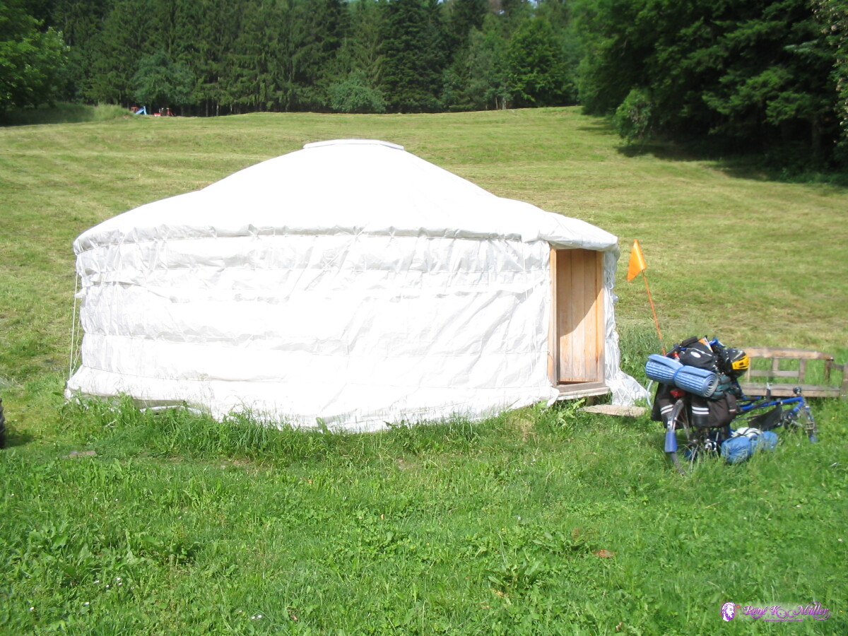 Again in Oberdürnten 2007/05/25 14:39 .:.
|