

Travel Overview
2026: Grisons: Bivio - Septimer - Val Duana - Spluegen - Safiental
2026: Various Hikes / Tours
2025: Various Hikes / Tours
2024: Various Hikes / Tours
2023: Hiking Swiss Alps
2023: Various Hikes / Tours
2022: Various Hikes / Tours
2021: Various Hikes / Tours
2020: Hiking Swiss Jura Crest & Alpine Panorama Trail
2020: Hiking Swiss Alps
2020: Various Hikes / Tours
2019: Hiking 4 Days in Swiss Alps, Furka & Grimsel
2019: Hiking 5 Days Gotthard Region
2016: Tour Aare, Les Doubs & Rhein
2015: France & Italy
2014: Central Europe
2013: France & Italy
2012: Italy & France
2011: Europe: Three Tours
 2010: India
2009: France: Two Tours
2008: Tour de Romandie
2008: Zug - Bern - Zug
2008: Strasbourg
2008: Europe
2007: France
2005: France & Italy
2004: USA: Denver - Sedona
2004: Lenzburg - Marseille
2004: La Gomera
2003: Sardinien
2003: La Gomera
2002: Korsika
2002: Bordeaux - Hendaye
1998: Switzerland
1997: USA
1996: USA: Colorado & Arizona
2010: India
2009: France: Two Tours
2008: Tour de Romandie
2008: Zug - Bern - Zug
2008: Strasbourg
2008: Europe
2007: France
2005: France & Italy
2004: USA: Denver - Sedona
2004: Lenzburg - Marseille
2004: La Gomera
2003: Sardinien
2003: La Gomera
2002: Korsika
2002: Bordeaux - Hendaye
1998: Switzerland
1997: USA
1996: USA: Colorado & Arizona
Spirituality Overview
My Experiences with Channeling
Protection of ...
Earthkeeper Vision
Art of Descension
Reincarnation and The Self
Multidimensional Realities
Third Eye
Spiritual Evolution
I Am The Light
Sleeping Humankind
Numbers
Spirit Diary
Quotes
|
"Our greatest fear is not that we are inadequate, but that we are powerful beyond measure."
Marianne Williamson |
2019: Hiking 4 Days in Swiss Alps, Furka & Grimsel
IntroductionFor summer 2019 this was my 2nd hiking tour, alike my 1st tour in the Gotthard region, I started closeby in Andermatt but instead to St. Gotthard I remained in the main valley via Realp ascending Furkapass, and from there a short descent to Gletsch, and ascent again to Grimselpass, and then a long descent to Innertkirchen (near Meiringen). The route reached over 3 cantons (districts) of Uri, Wallis/Valais and Bern, and alike 3 sources of rivers of Reuss, Rhone and Aare.
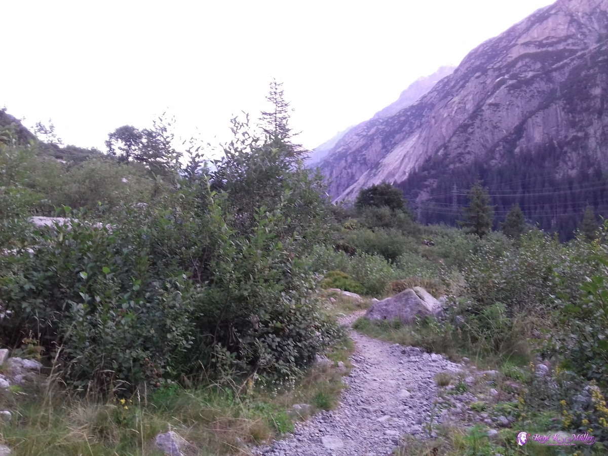
2019/08/23 (Day 1): Andermatt - RealpI took the train from Zug to Andermatt (via Erstfeld & Goeschenen), and started to hike through the valley around noon, along the Reuss river until I reached Realp in late afternoon, nearby still somewhat in the flat region I camped for the night. 2019/08/23 12:56  2019/08/23 13:19  2019/08/23 13:22  2019/08/23 13:40 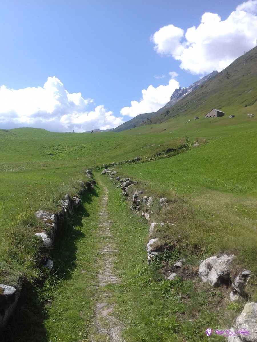 2019/08/23 13:47 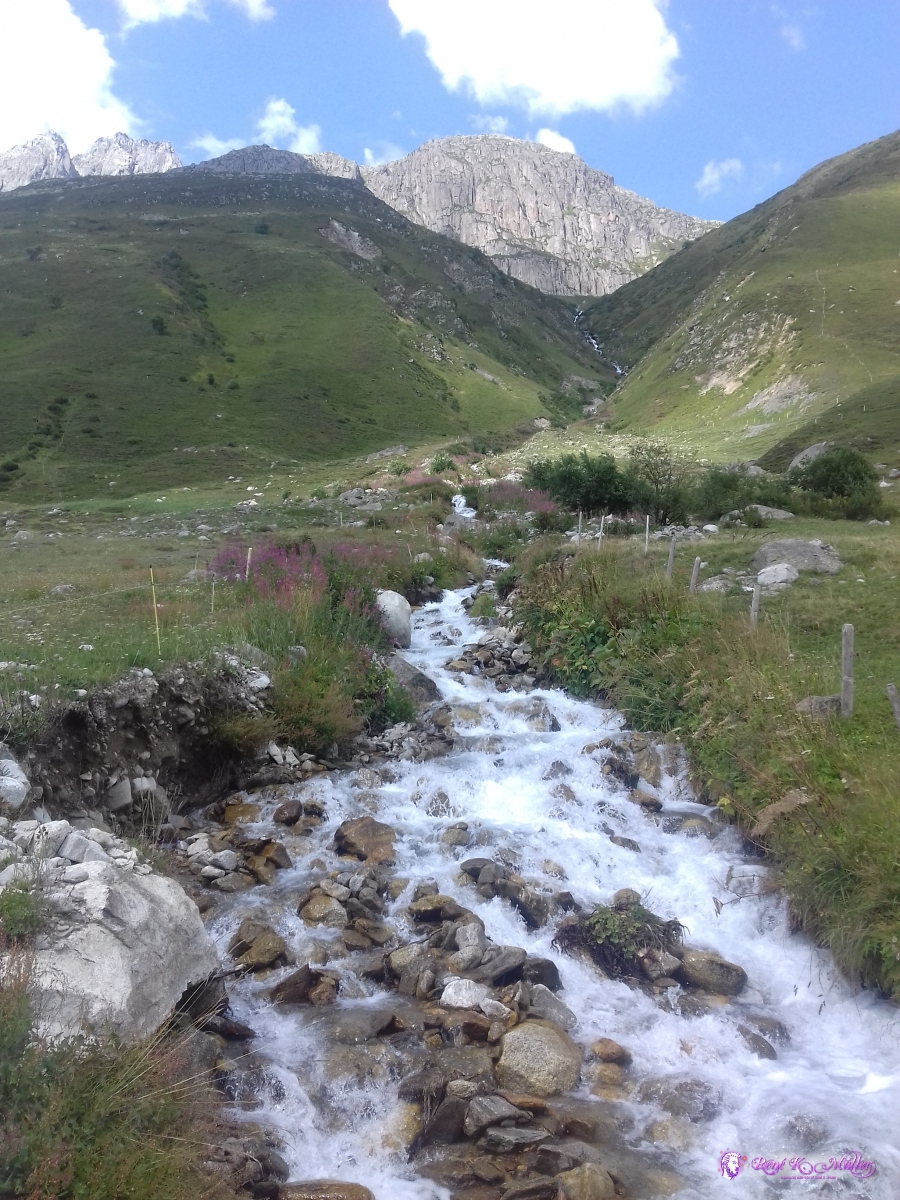 2019/08/23 14:08 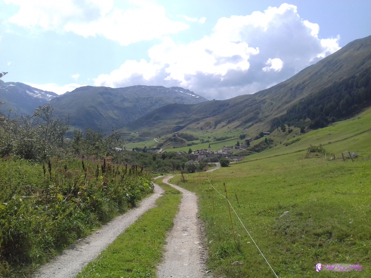 2019/08/23 15:02 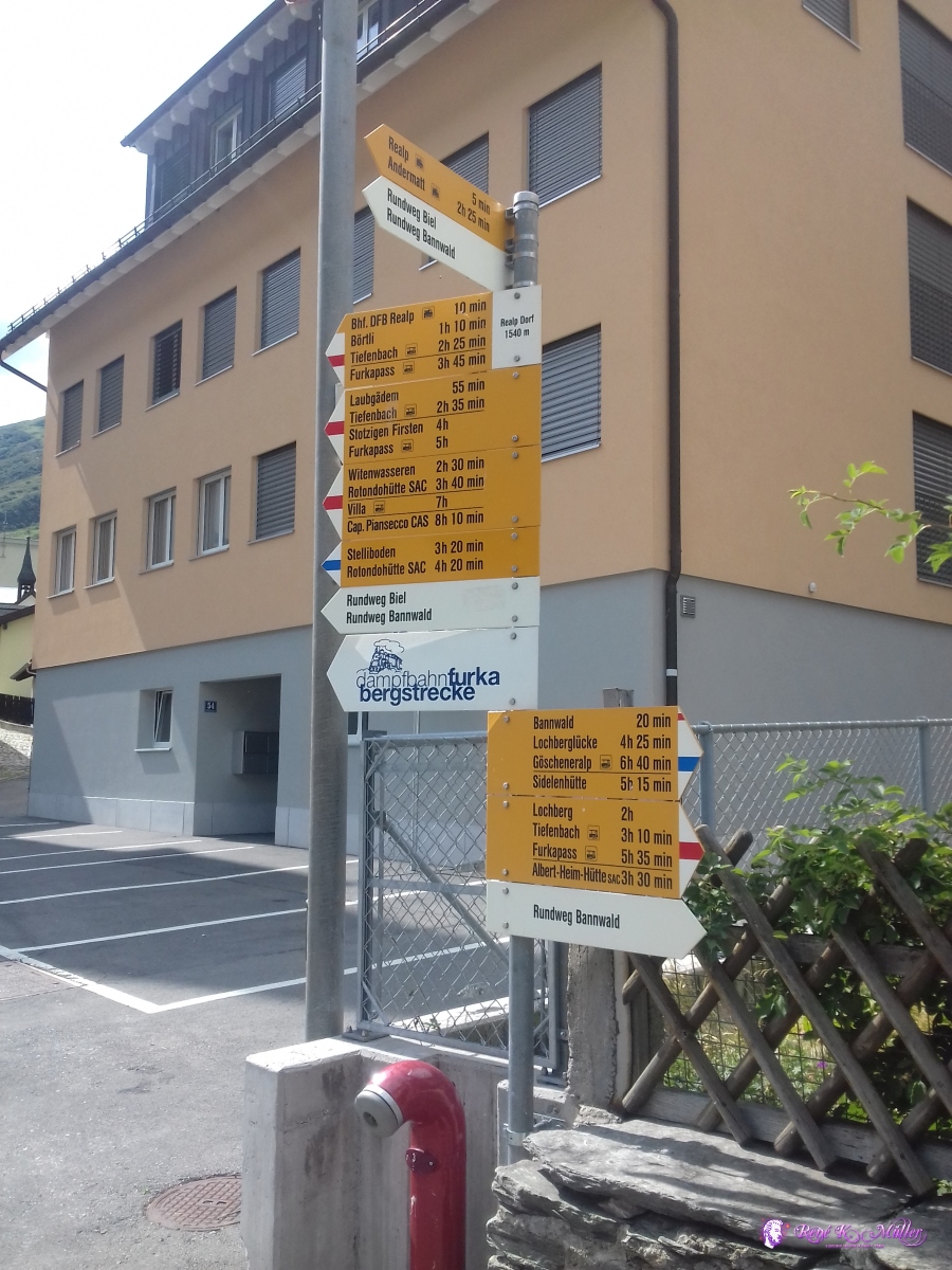 2019/08/23 15:23  2019/08/23 16:39  2019/08/23 16:39 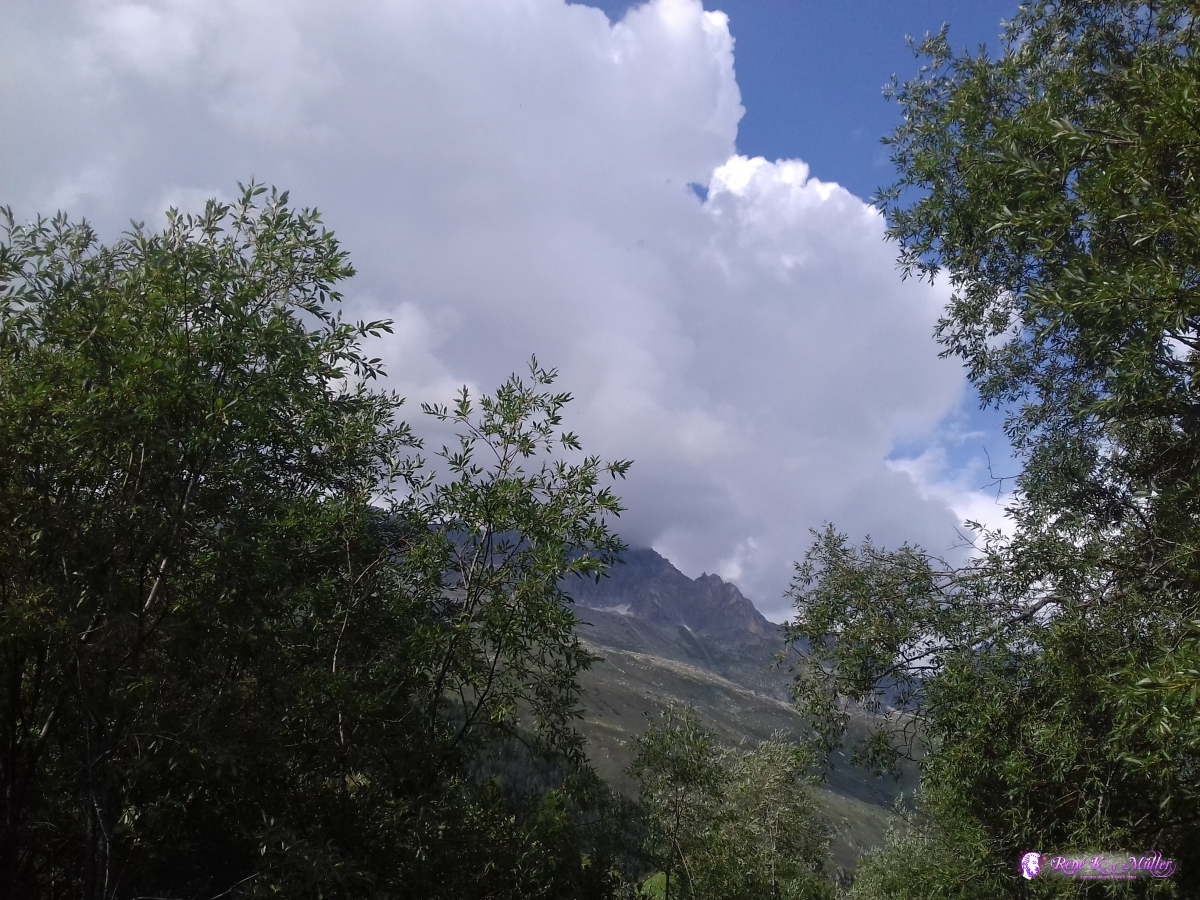 2019/08/23 16:39 The evening clouds did forecast some rain in the night. 2019/08/24 (Day 2): Realp - FurkapassAround 7:30 I started the day, and ascended slightly into the narrow valley along the Furka Summit train, the last ascend to the Furkapass itself was rather steep but well maintained once I reached the pass I stayed briefly and then descended about 100-150Hm down, where I reached a small flat meadow, where I decided to camp for the night one of the most beautiful place I ever camped.
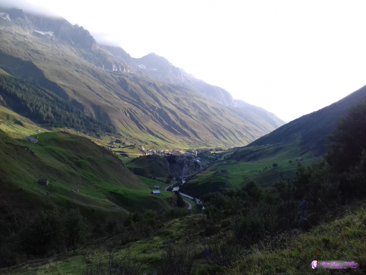 2019/08/24 08:03 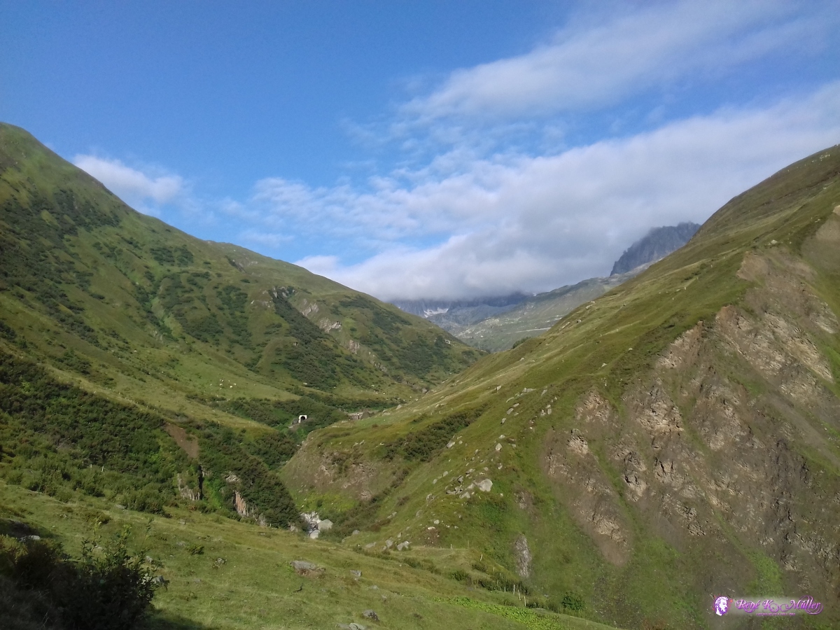 2019/08/24 08:23 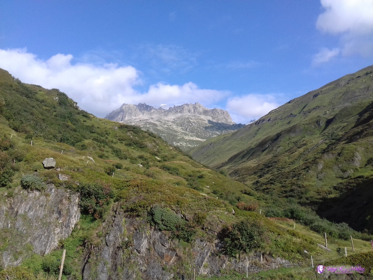 2019/08/24 08:47  2019/08/24 09:09 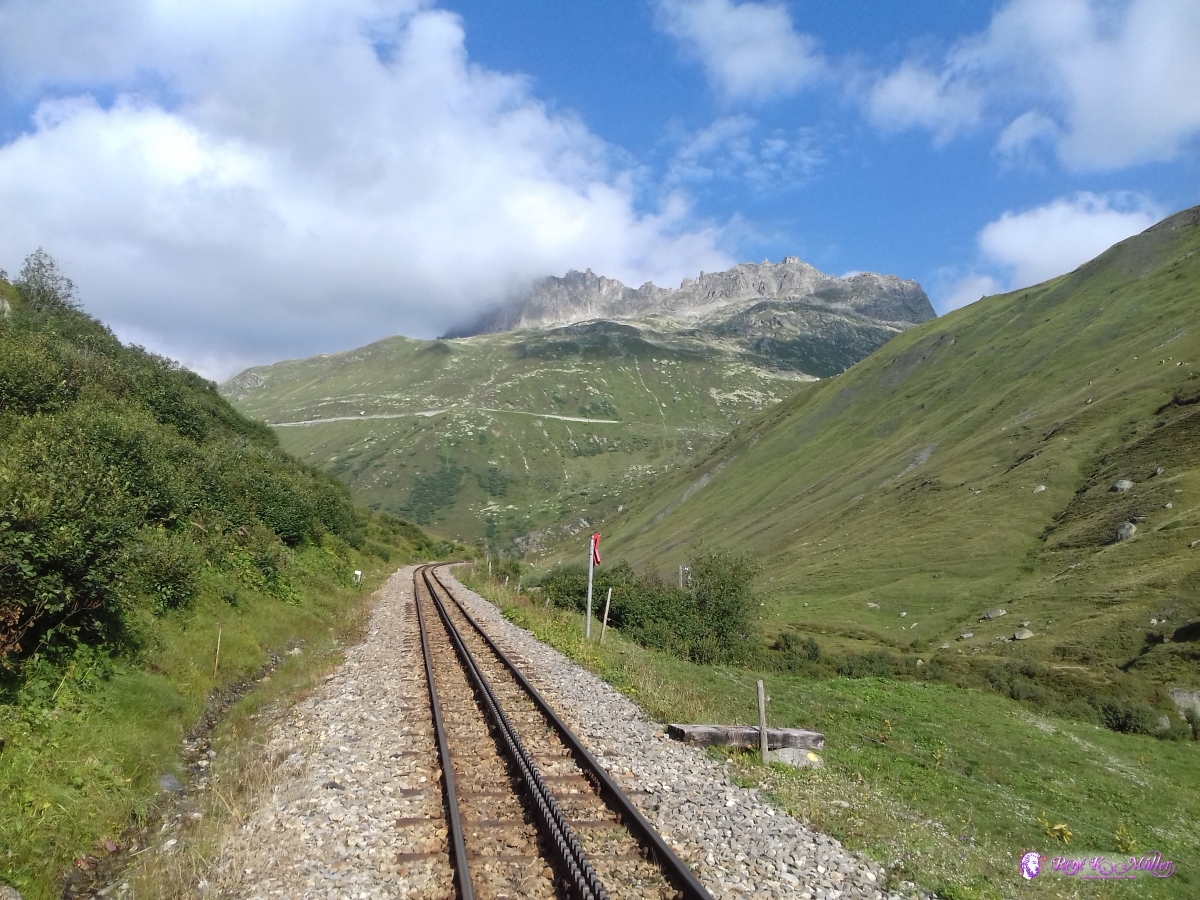 2019/08/24 09:09 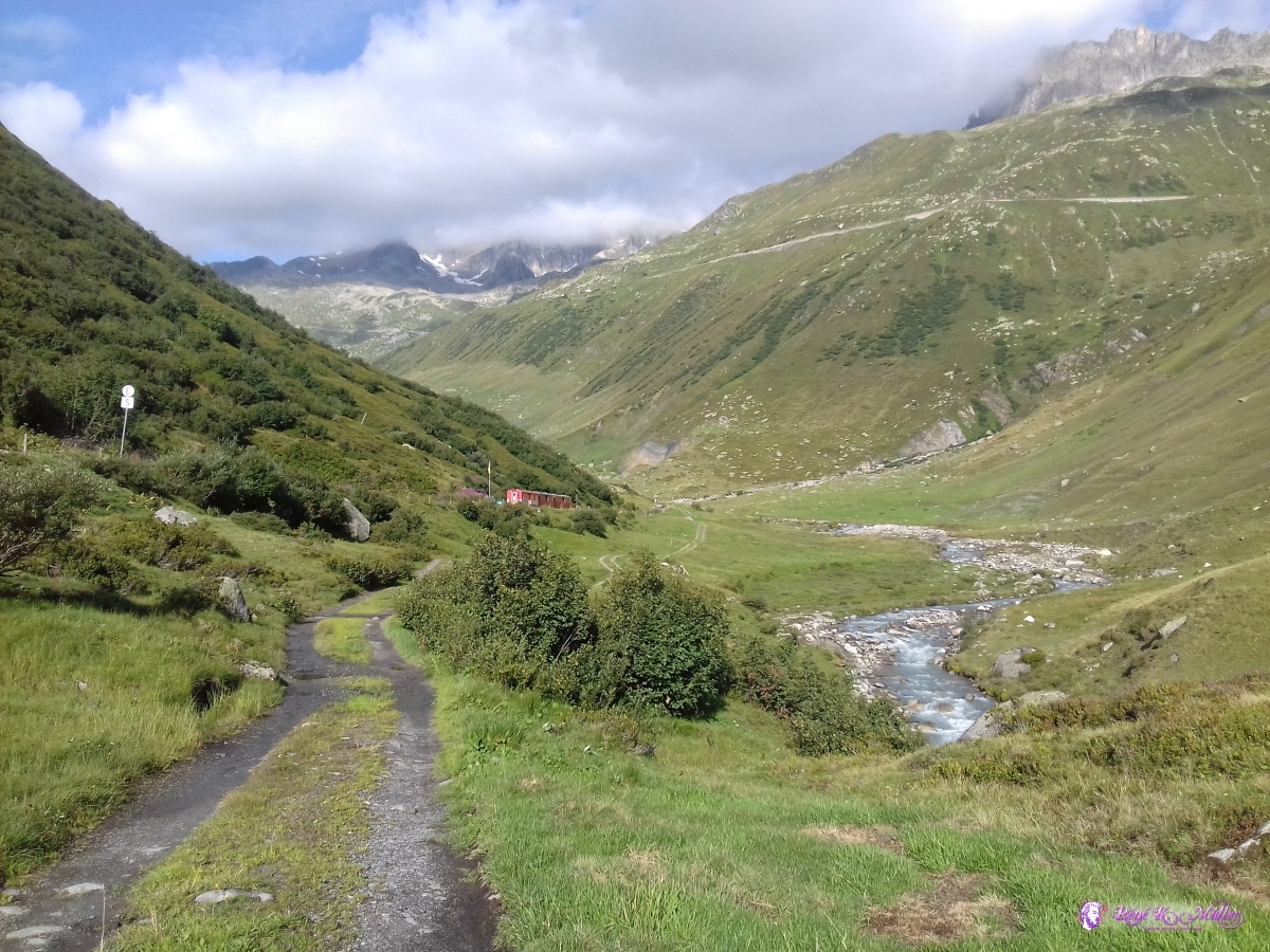 2019/08/24 09:14  2019/08/24 09:16 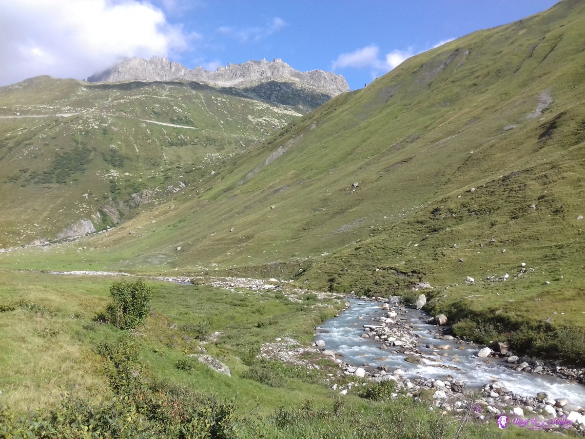 2019/08/24 09:16 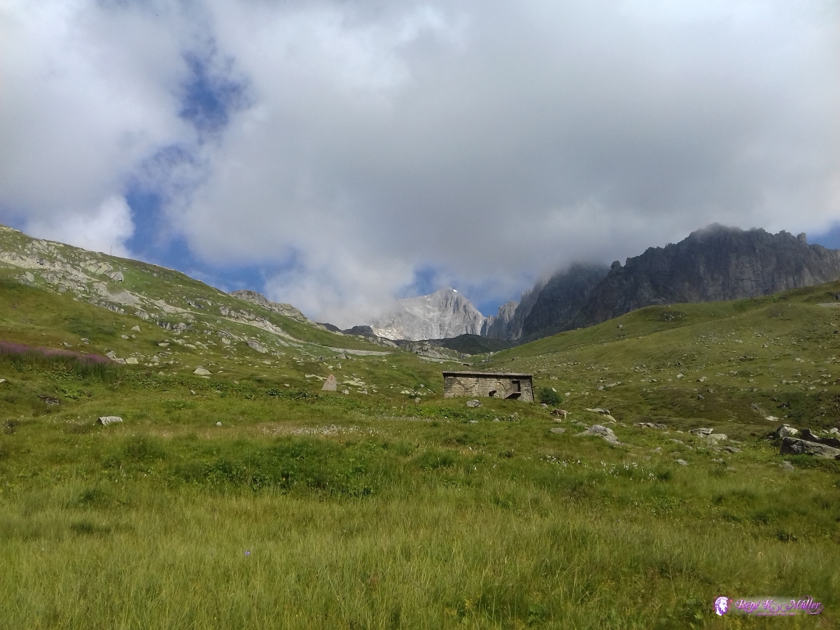 2019/08/24 10:25  2019/08/24 10:25  2019/08/24 10:35  2019/08/24 10:35  2019/08/24 10:45 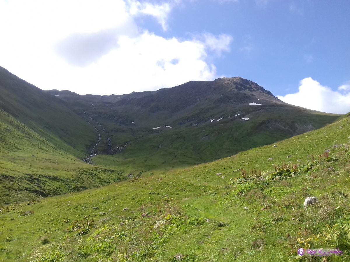 2019/08/24 10:46 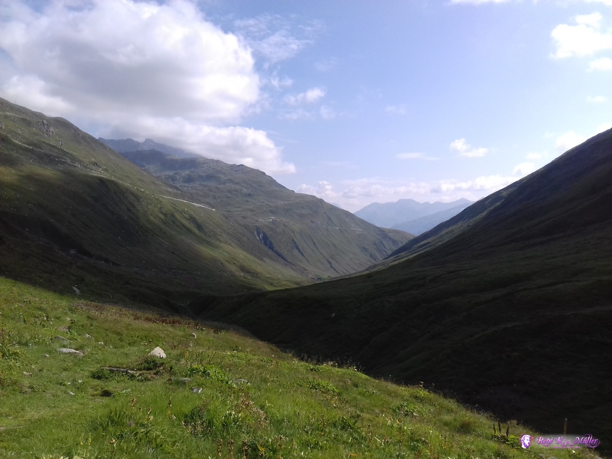 2019/08/24 10:46 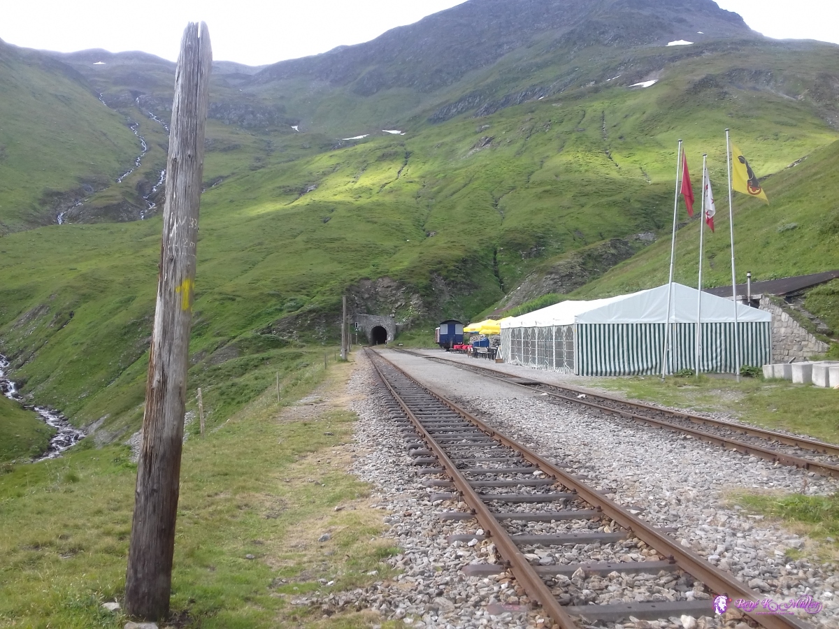 2019/08/24 10:54 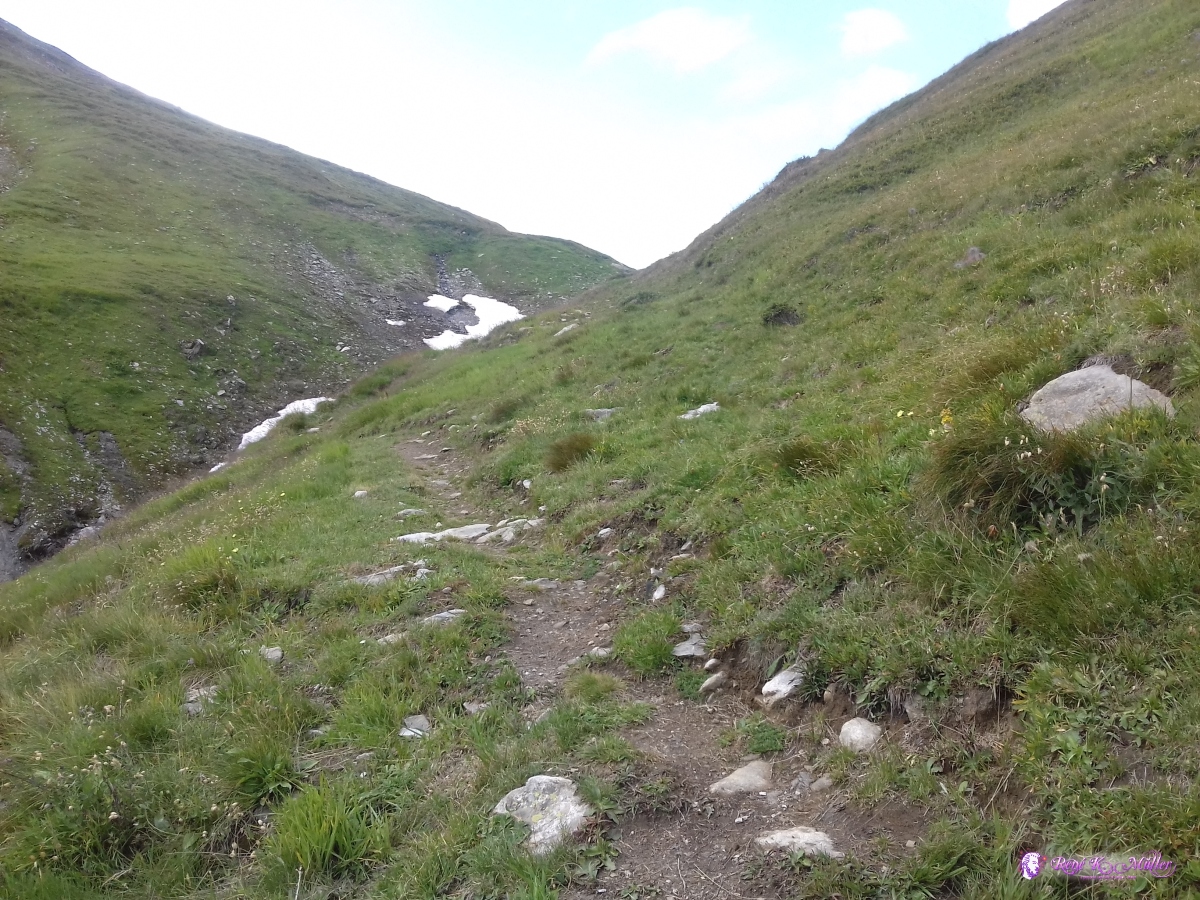 2019/08/24 11:16  2019/08/24 11:18 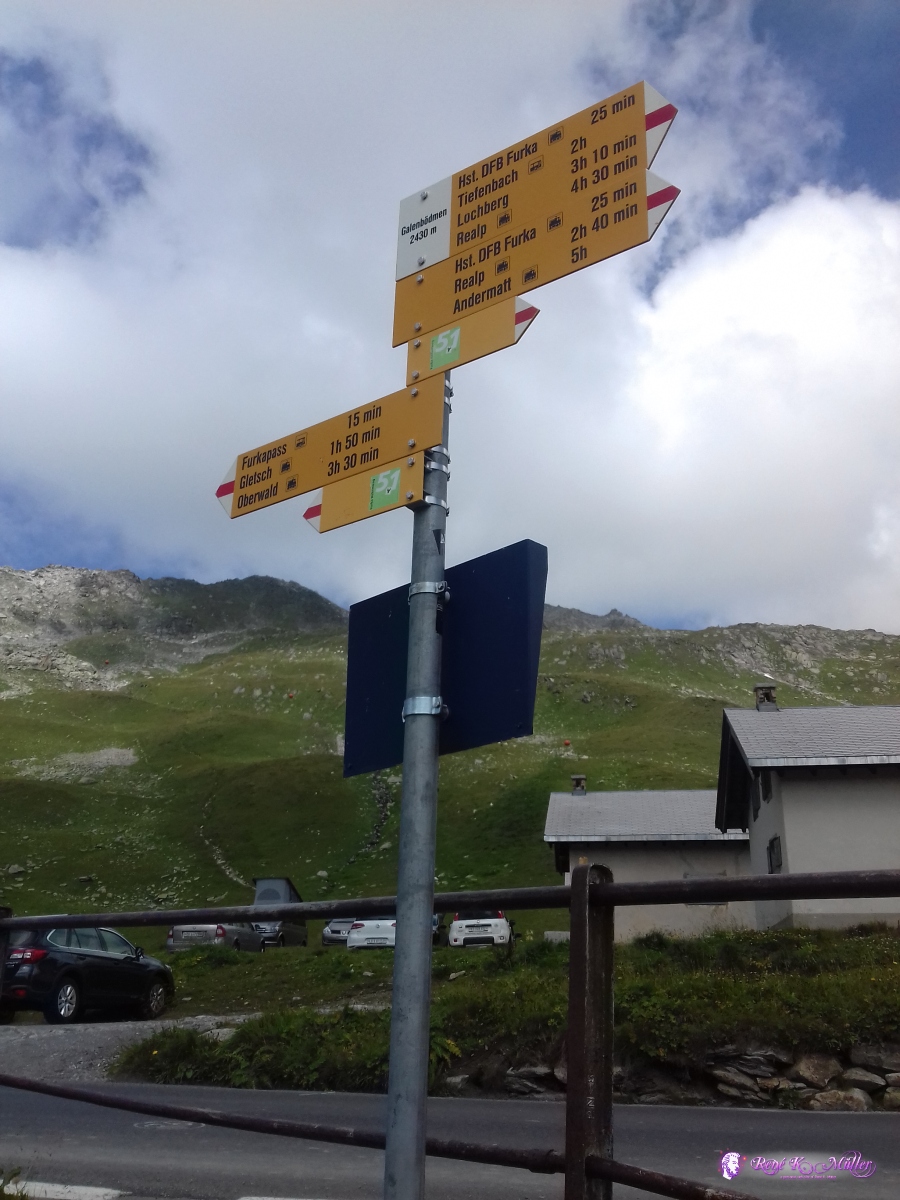 2019/08/24 11:41 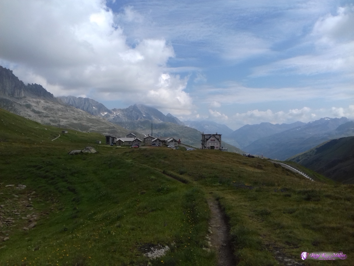 2019/08/24 11:47 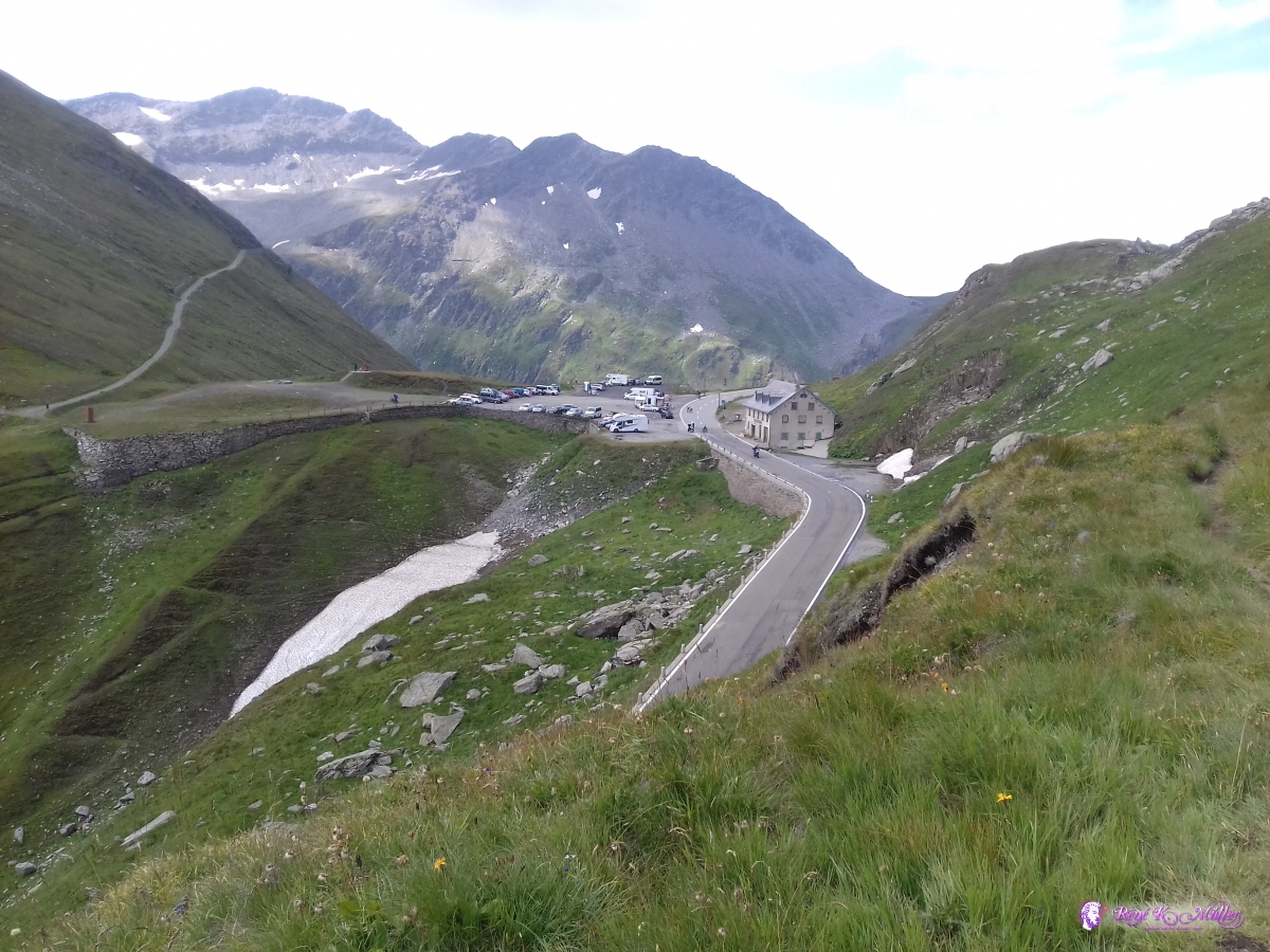 2019/08/24 11:51 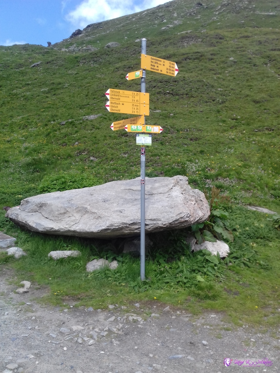 2019/08/24 11:56 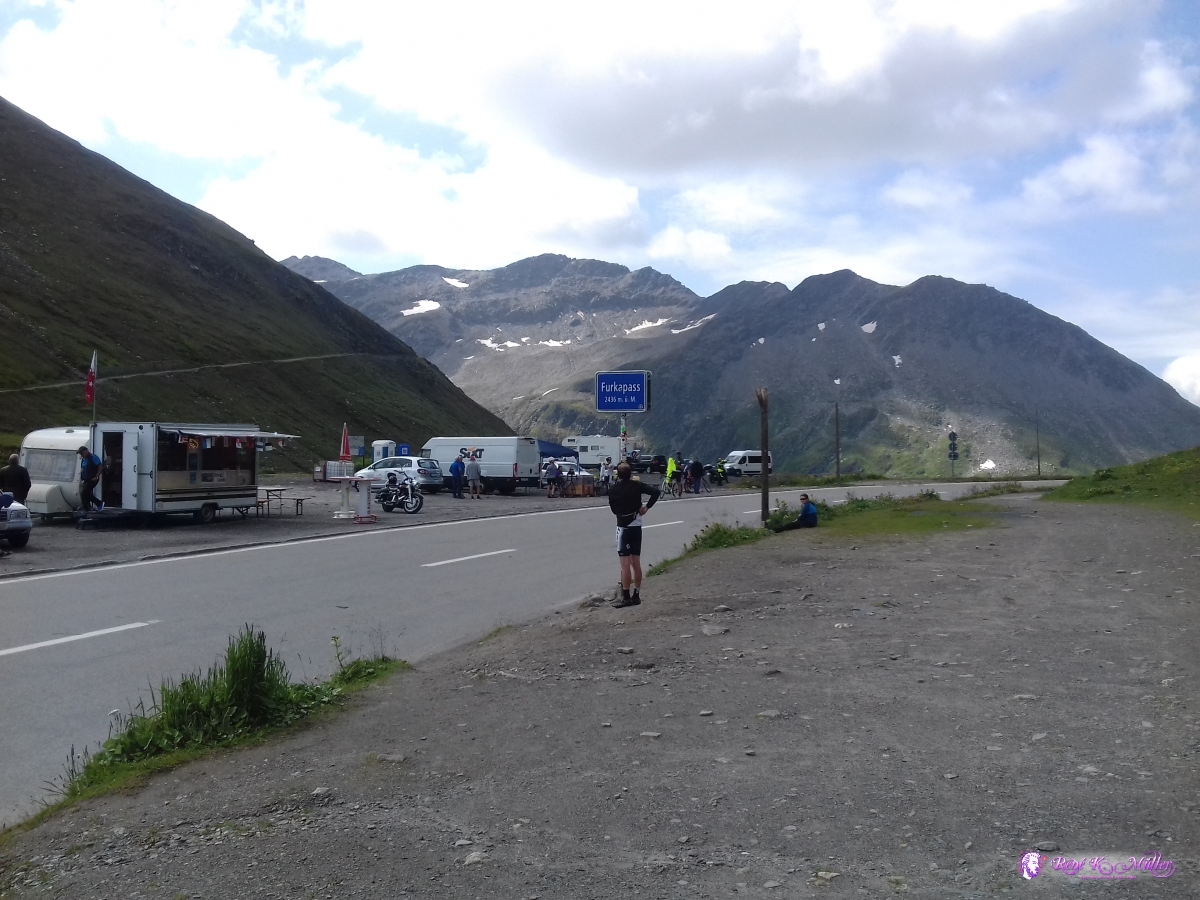 Furkapass 2436m 2019/08/24 11:57 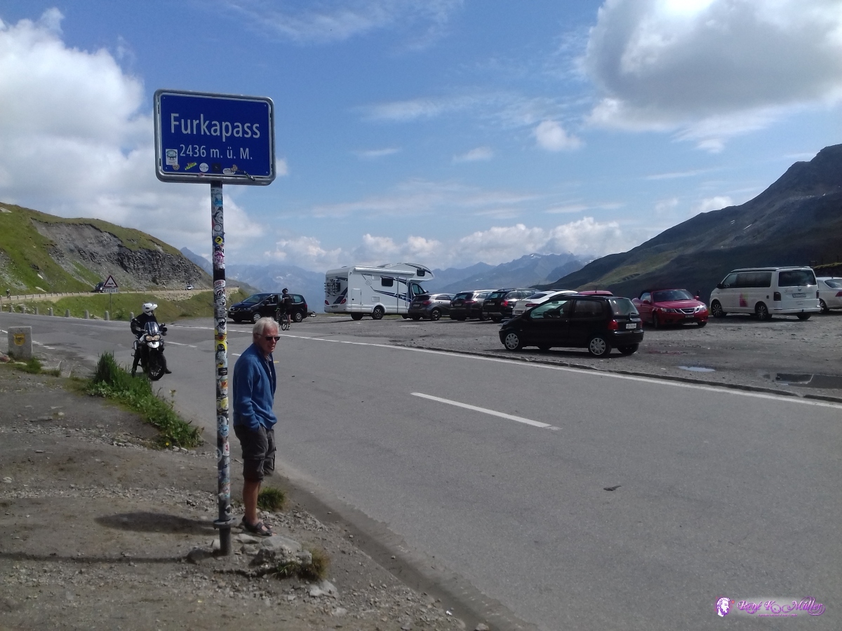 2019/08/24 11:59 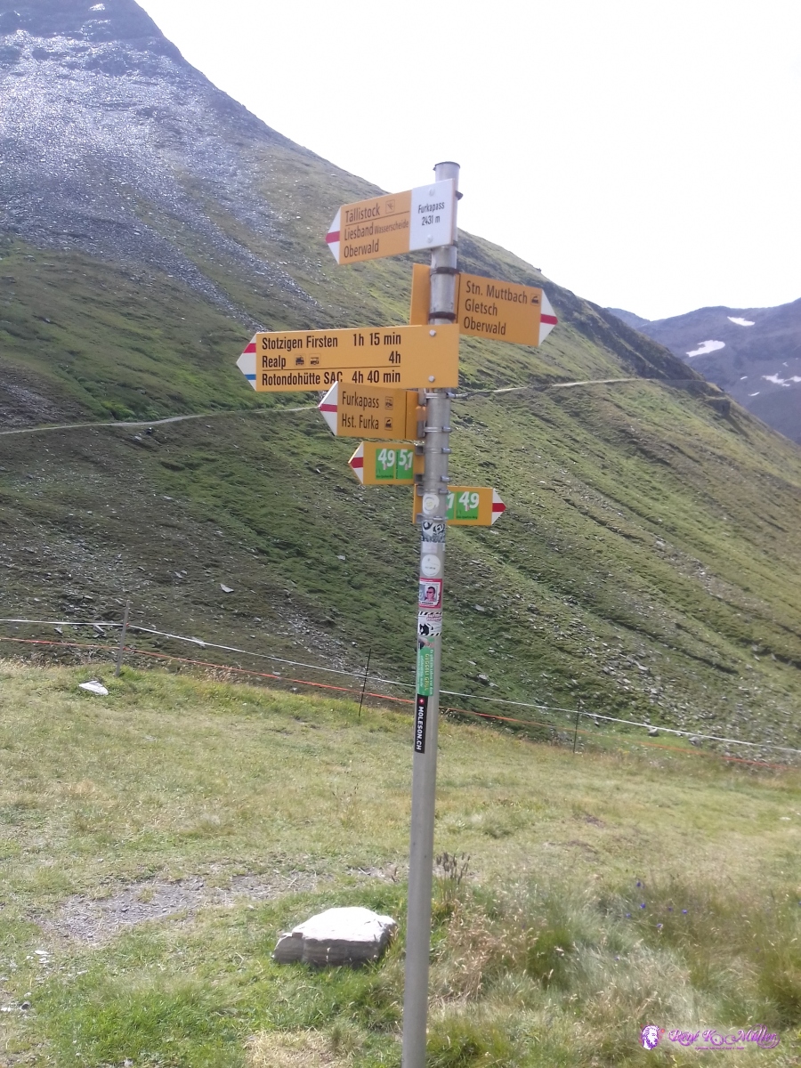 2019/08/24 12:16 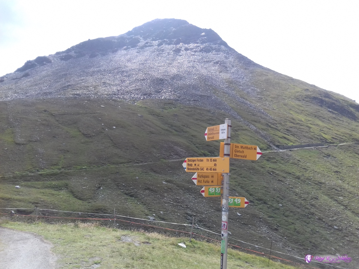 2019/08/24 12:16 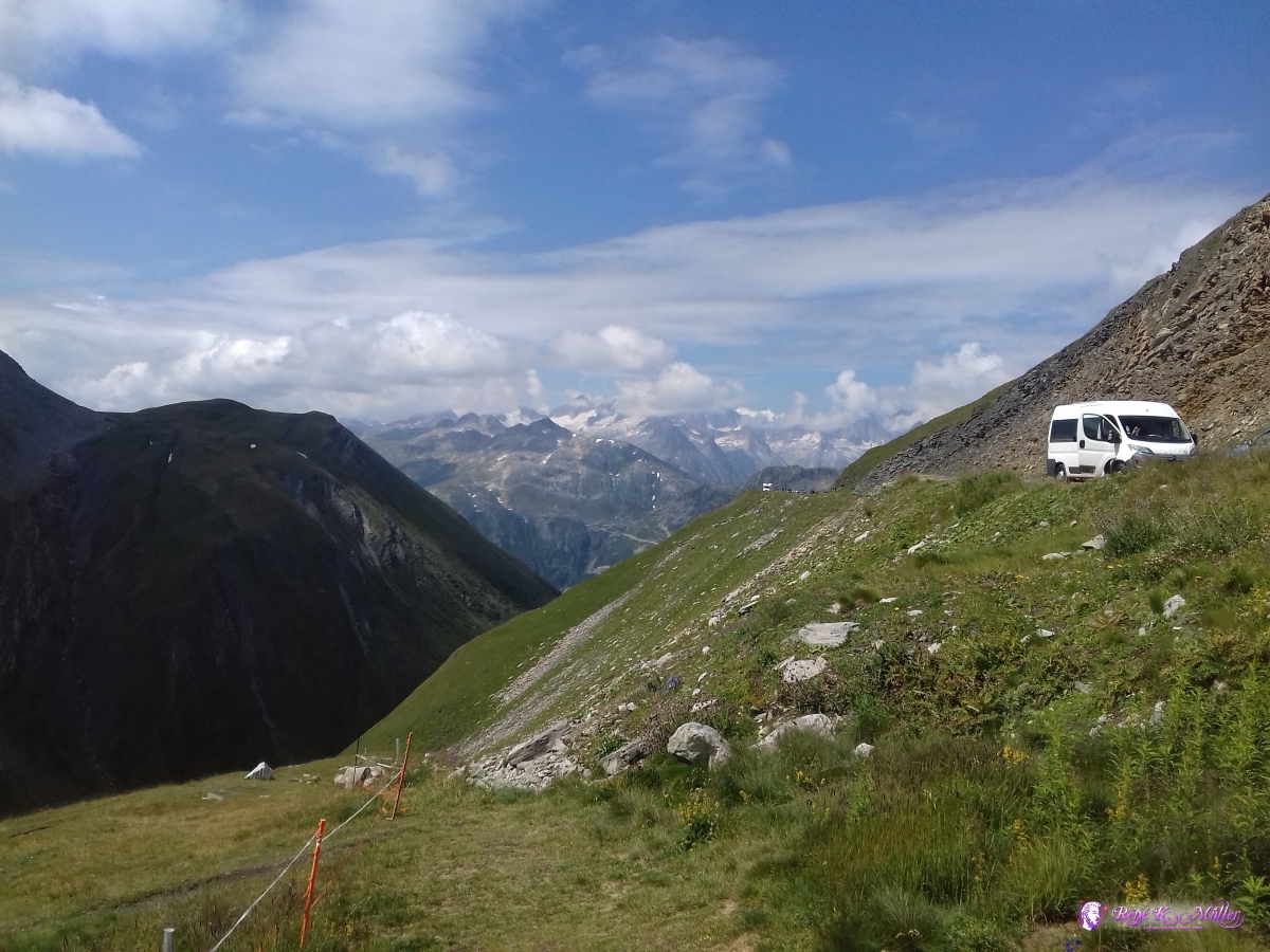 2019/08/24 12:17 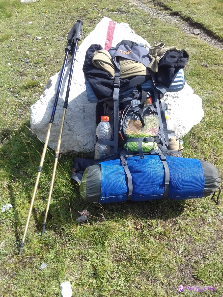 2019/08/24 12:21  2019/08/24 13:24 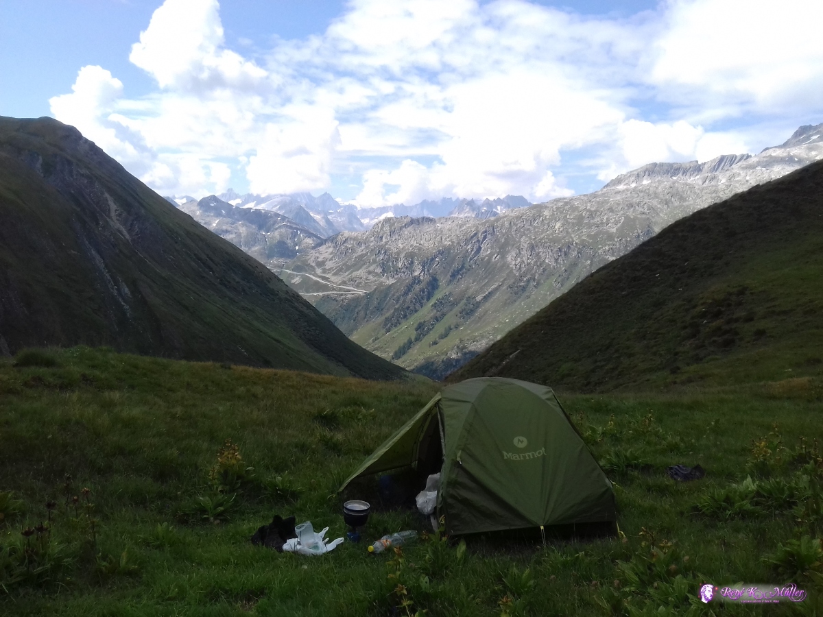 Apprx. 100Hm below Furka, perfect spot 2019/08/24 13:25 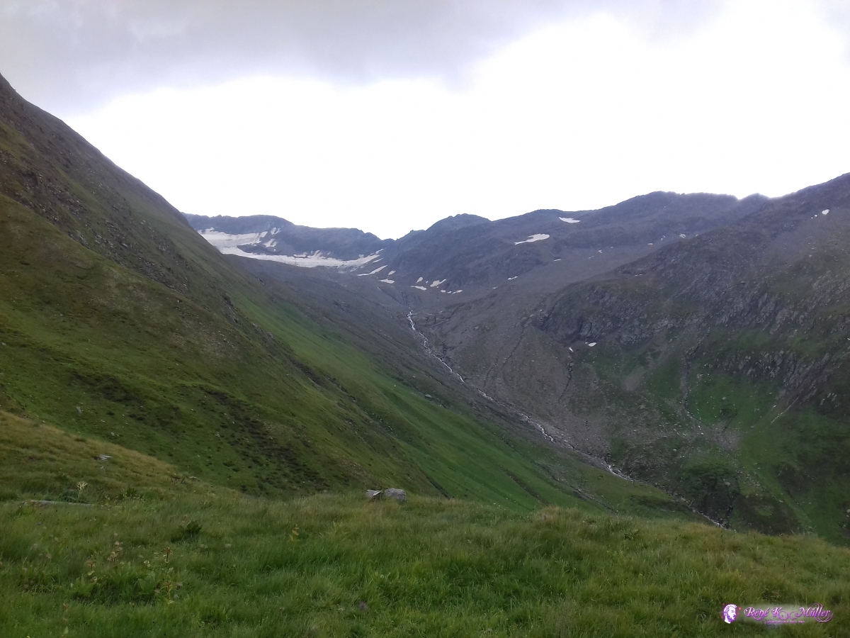 2019/08/24 13:25 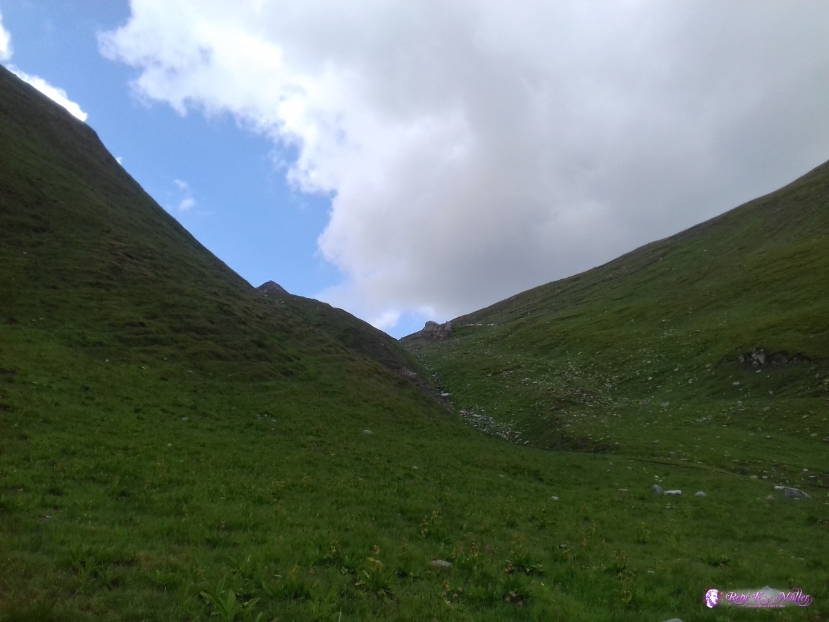 2019/08/24 13:25 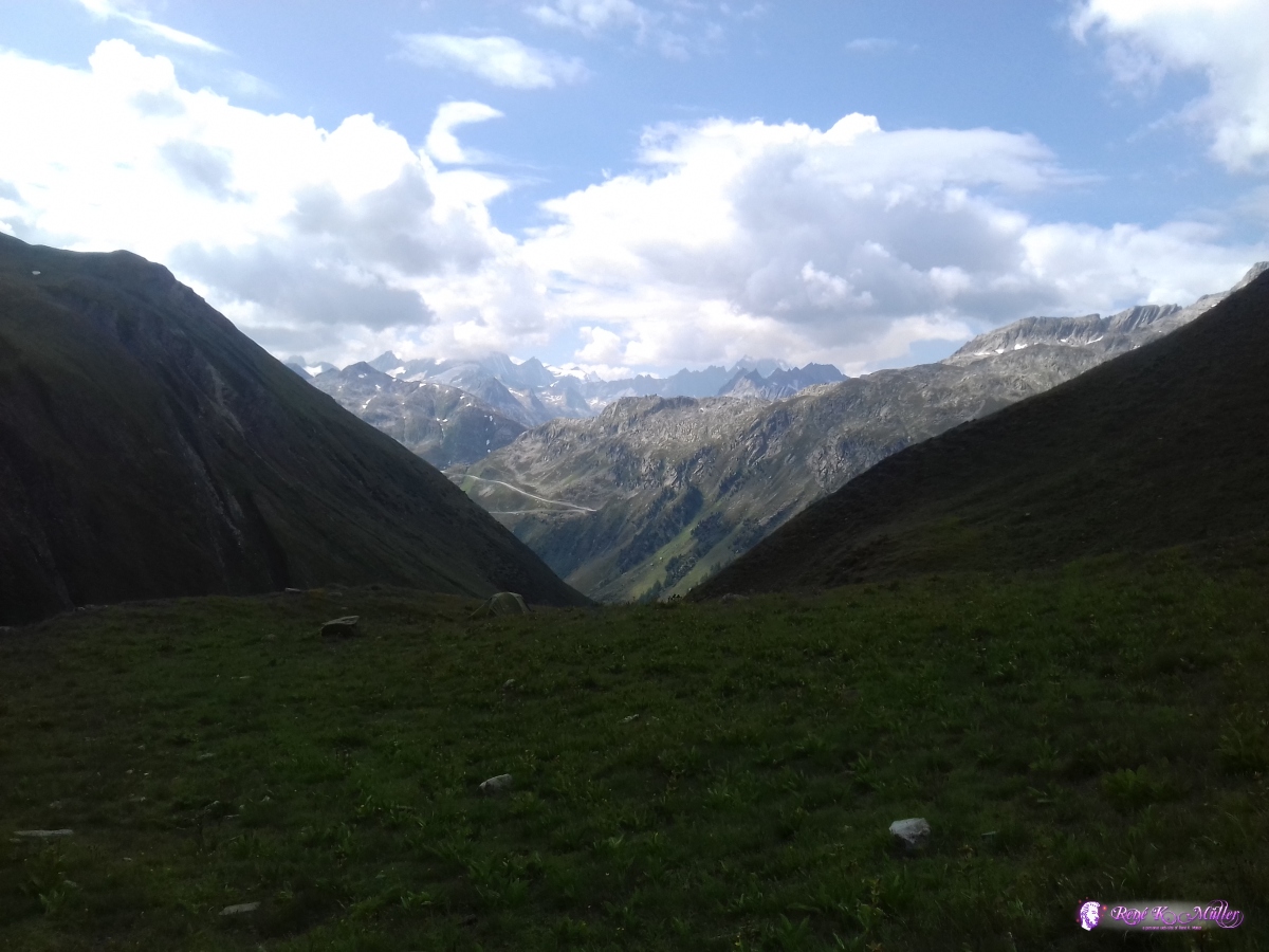 2019/08/24 14:26  2019/08/24 14:28 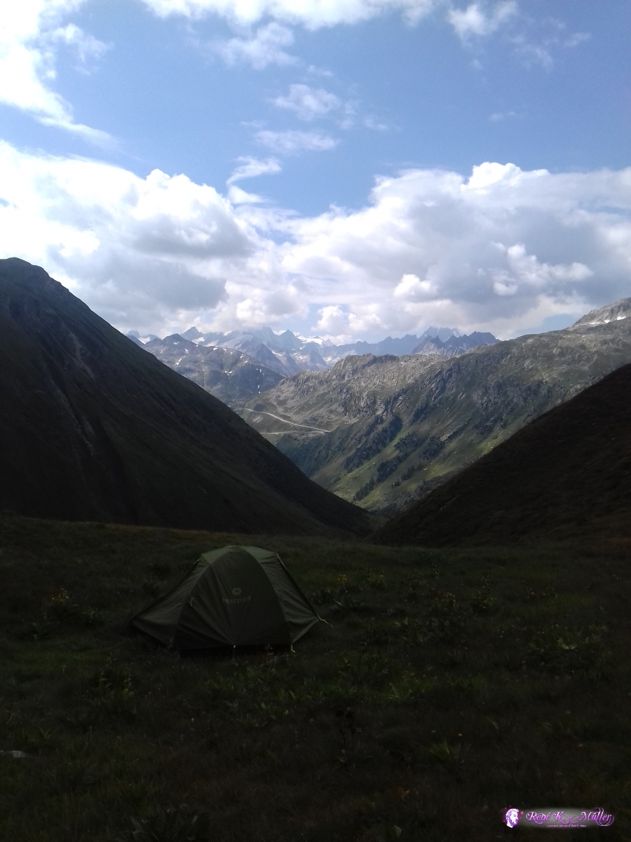 2019/08/24 14:28 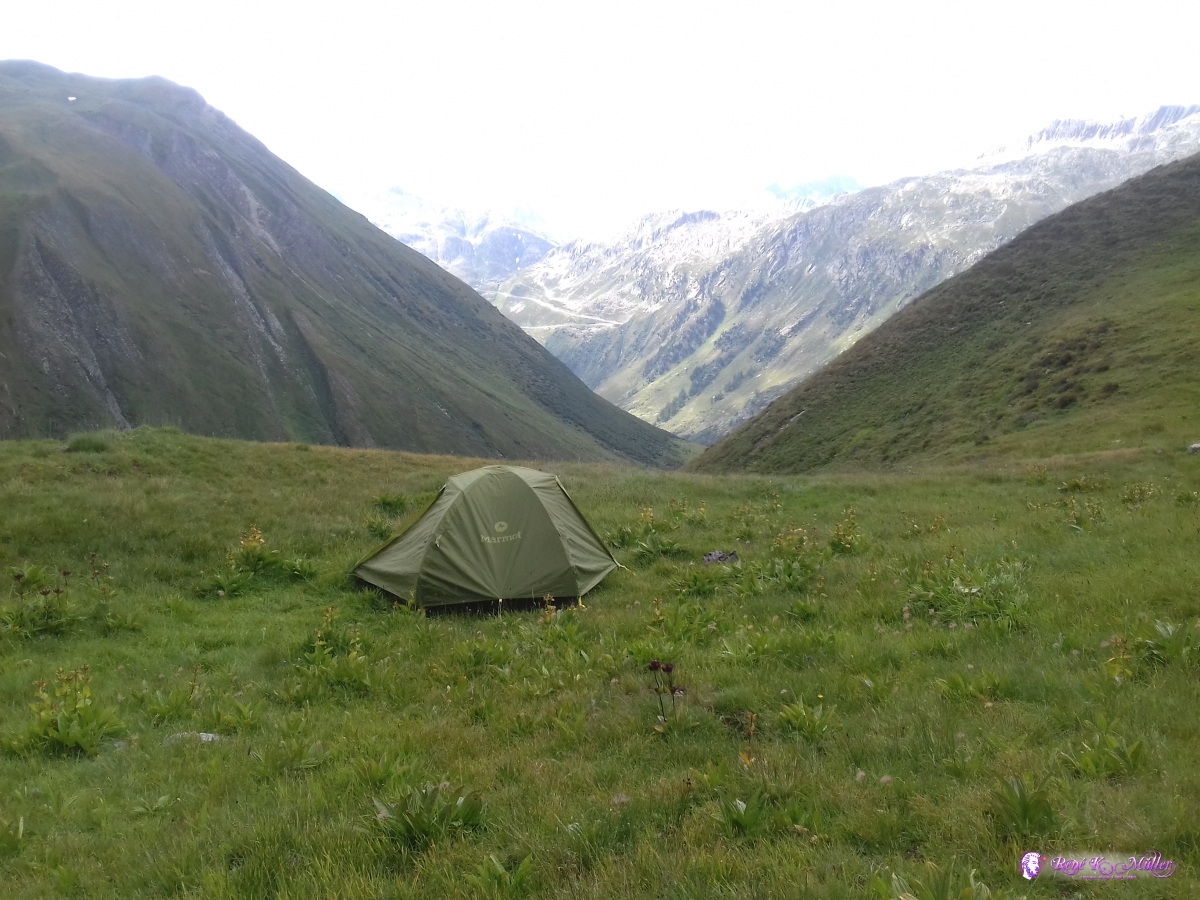 2019/08/24 14:28 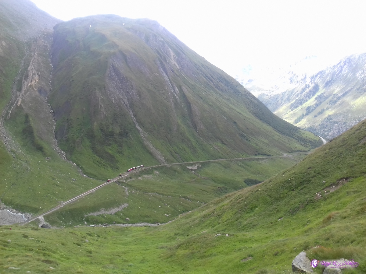 2019/08/24 14:28 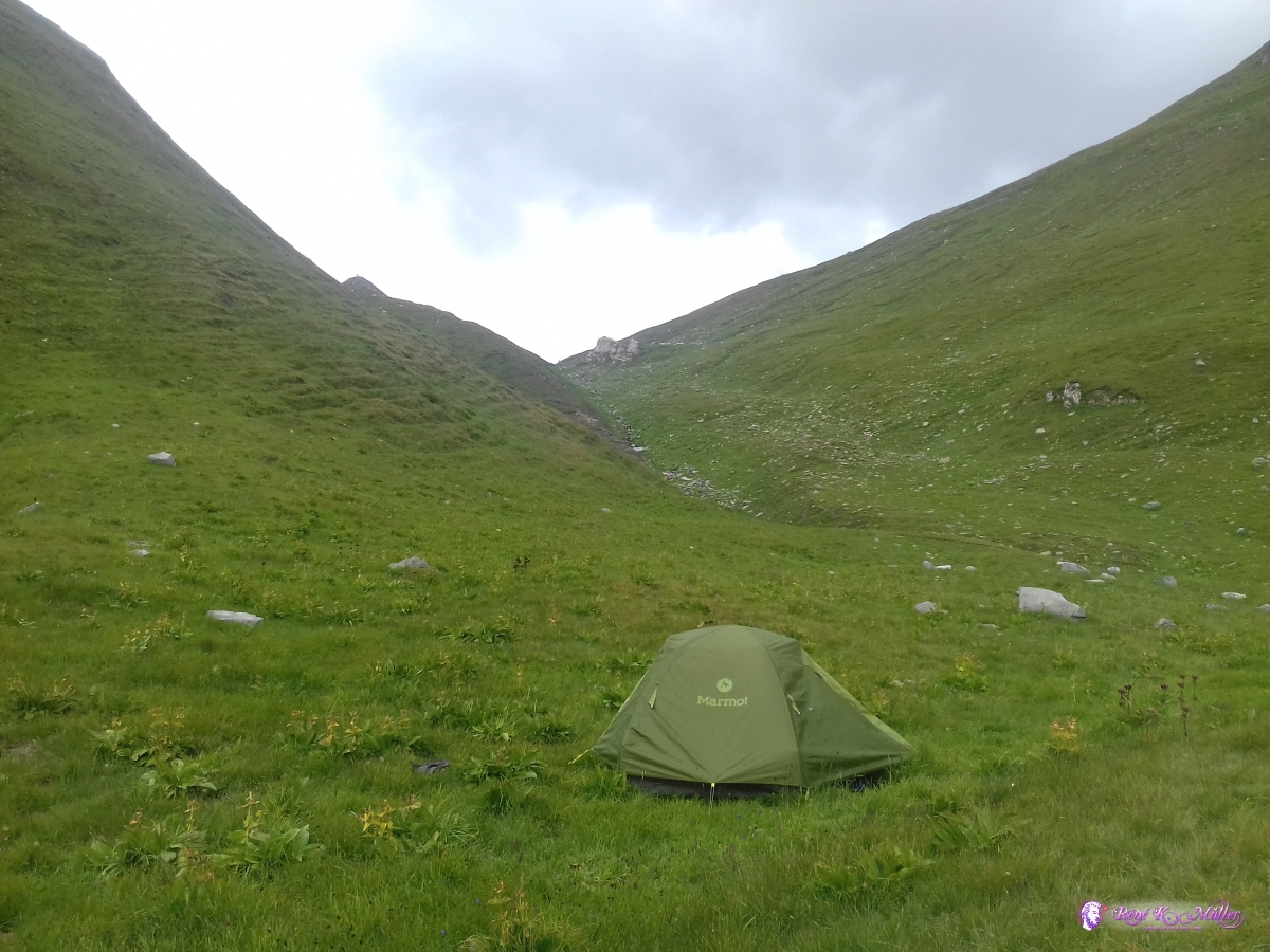 2019/08/24 14:29  2019/08/24 14:29 What a sight . . . below the Furkapass on a small meadow, looking at the Grimselpass with the winding street. 2019/08/25 (Day 3): Furkapass - Gletsch - GrimselpassBrief rain in the night, and the tent was still wet and it was rather chilly at apprx. 2100m altitude where I camped; packed and slowly descended, looking at the Rhonegletscher and slowly reaching the village, or rather a few buildings composing Gletsch. Then a steep but well maintained path up to Grimselpass, crossing the busy long winding road. Once I reached the Grimselpass, where a lot of visitors roamed it was Sunday and many cars and even more motorcycles passing or resting at the pass breaking the silence of this scenery. Soon I began my descent, and it took a while until I found a good place to camp for the night, so I ended up near Handegg, much lower and longer descent than anticipated.
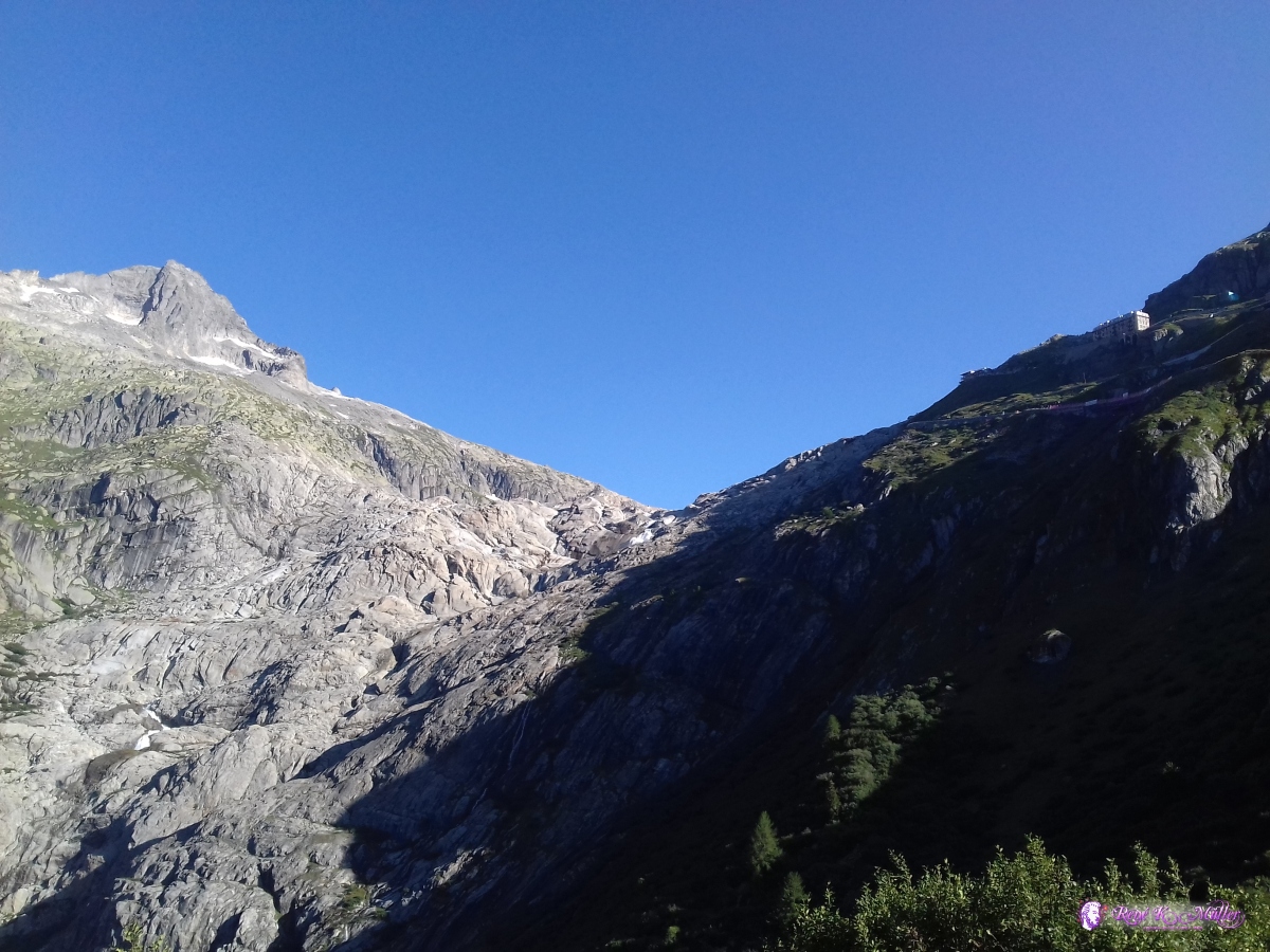 2019/08/25 09:04  2019/08/25 09:18 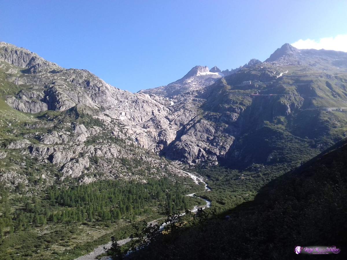 2019/08/25 09:23 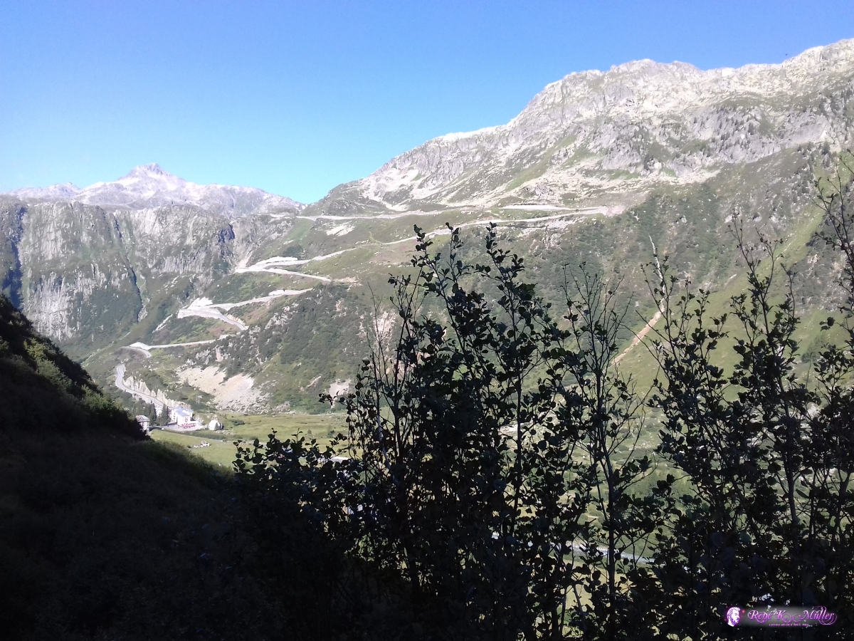 2019/08/25 09:24 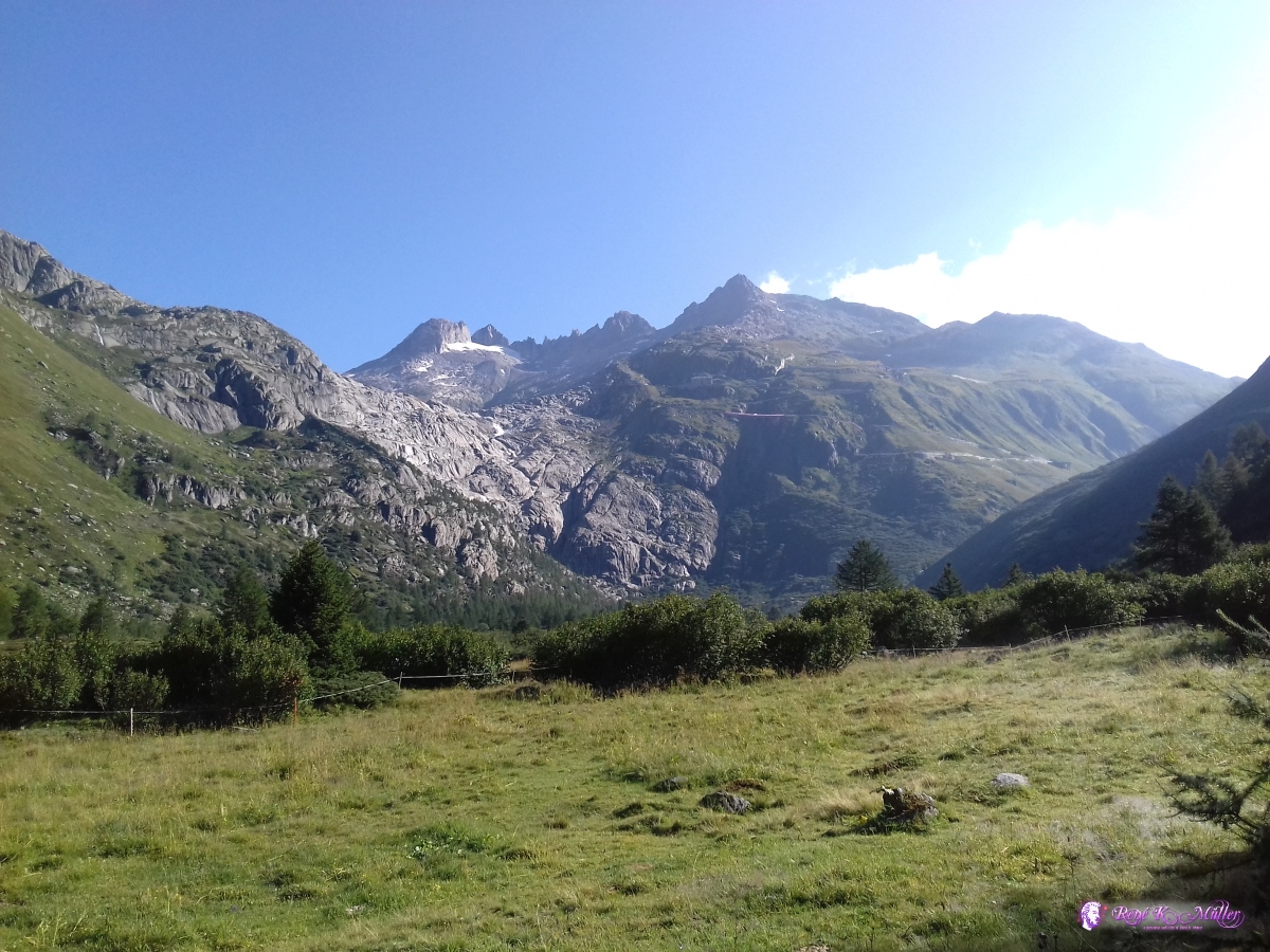 2019/08/25 09:38 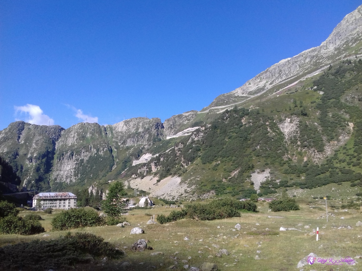 Gletsch 2019/08/25 09:38 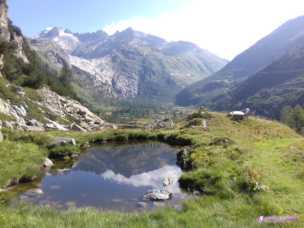 2019/08/25 10:22 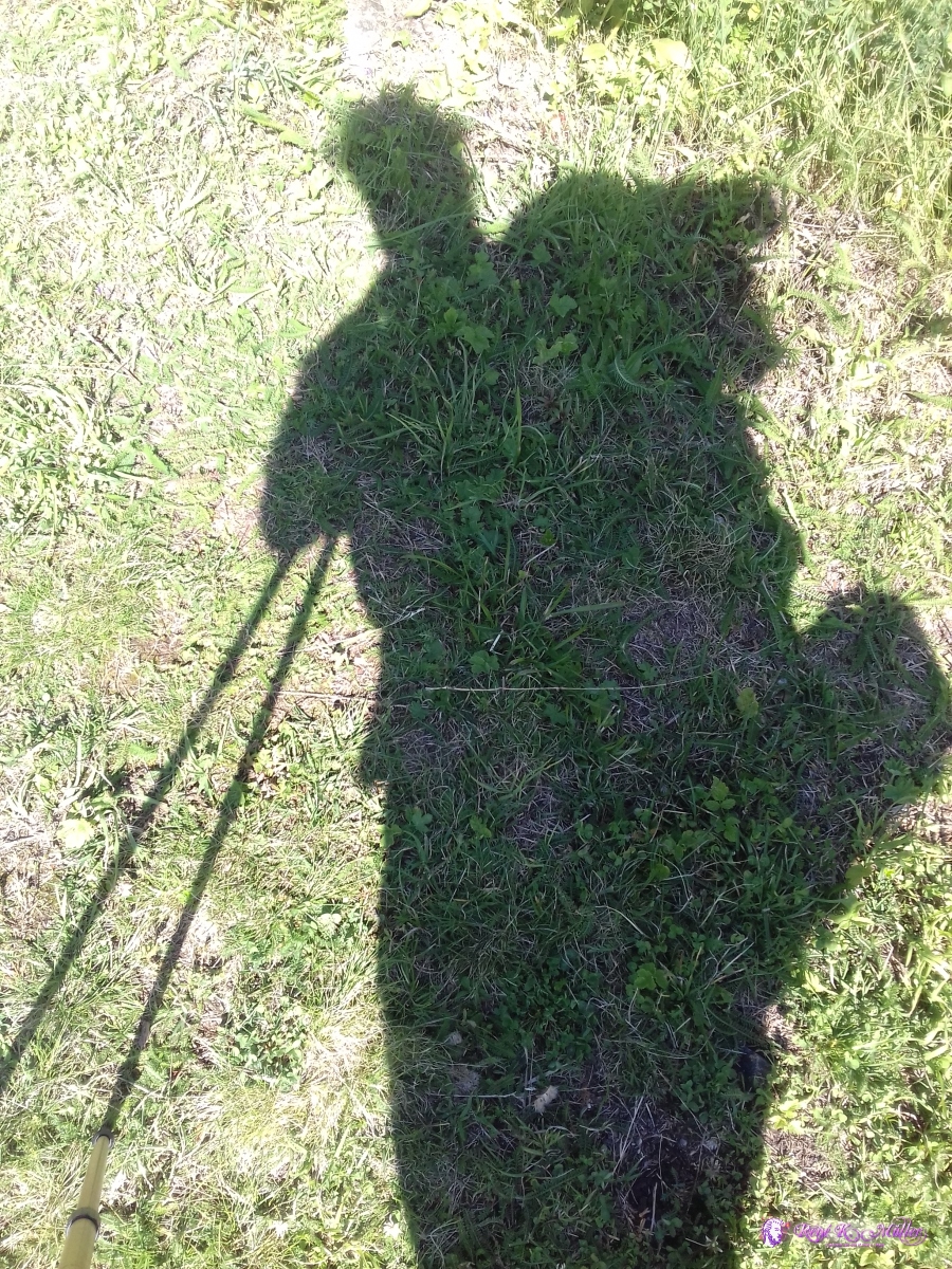 2019/08/25 10:24  2019/08/25 10:31  2019/08/25 10:34  View back to Furkapass 2019/08/25 10:44 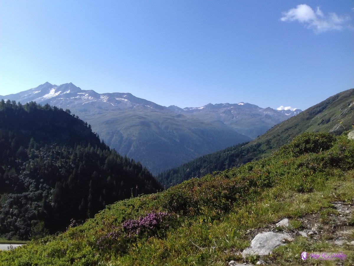 2019/08/25 10:47 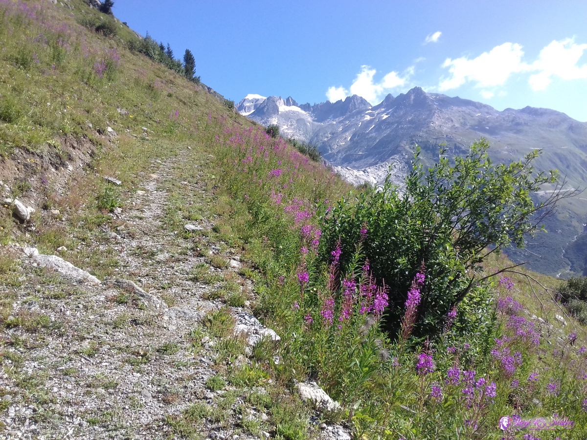 2019/08/25 10:51 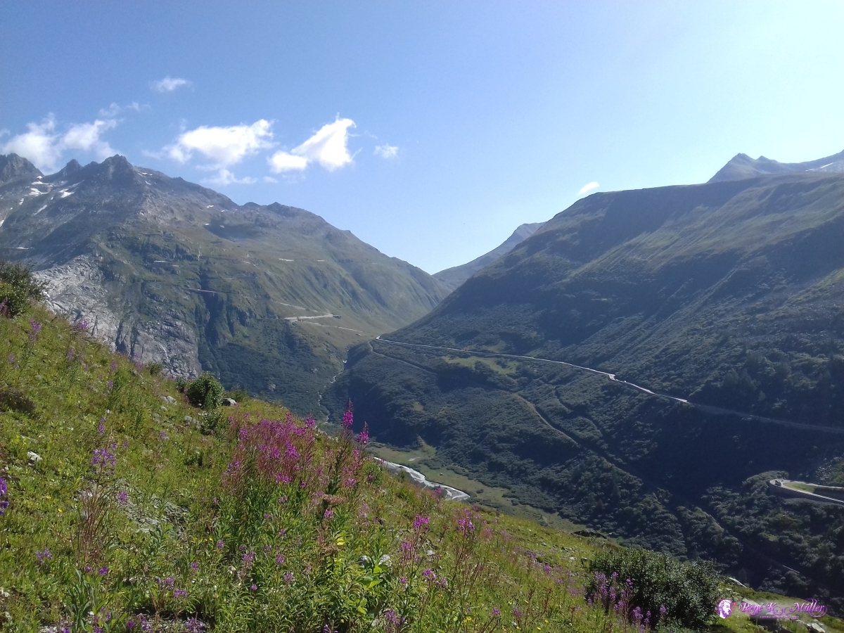 2019/08/25 10:52 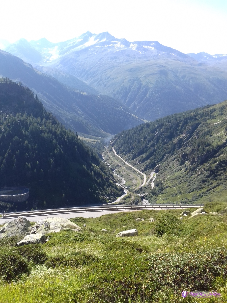 2019/08/25 11:01 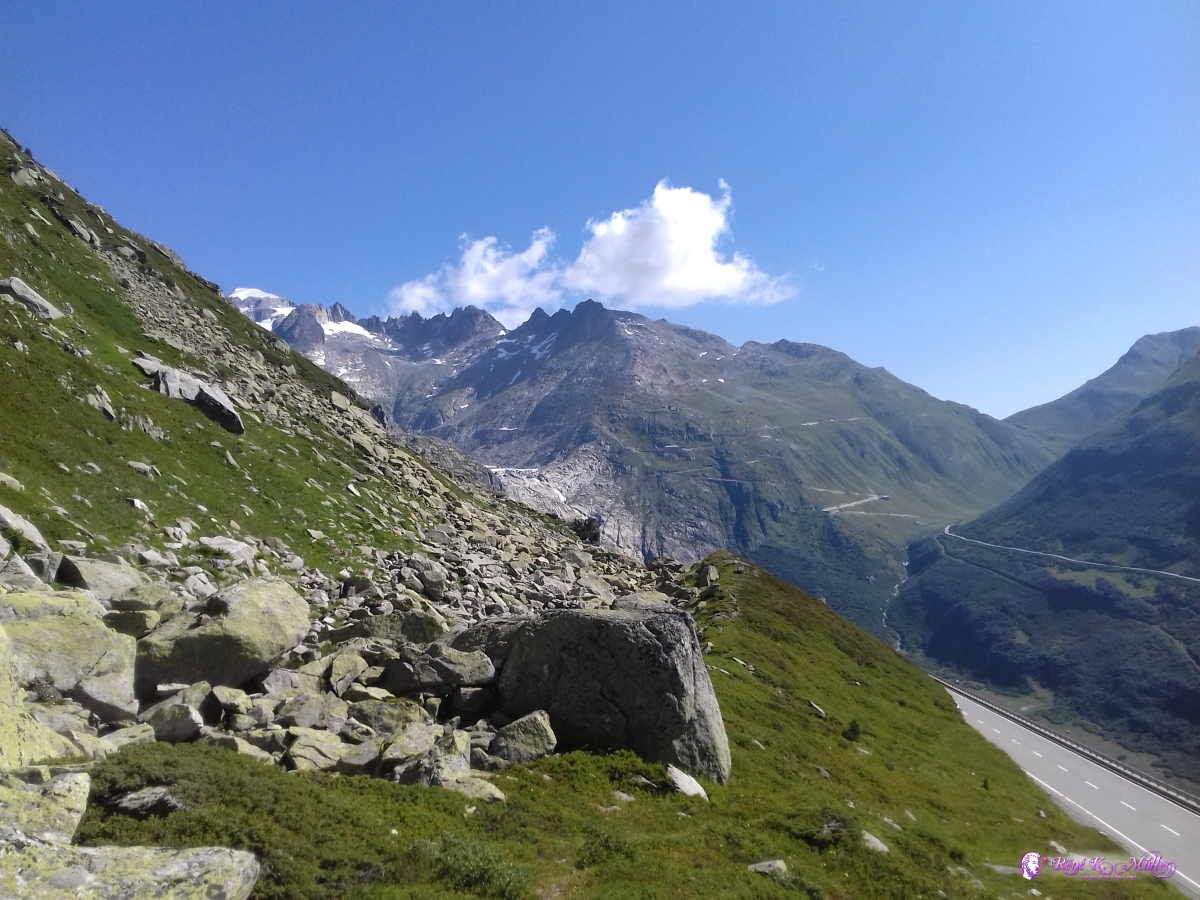 2019/08/25 11:14 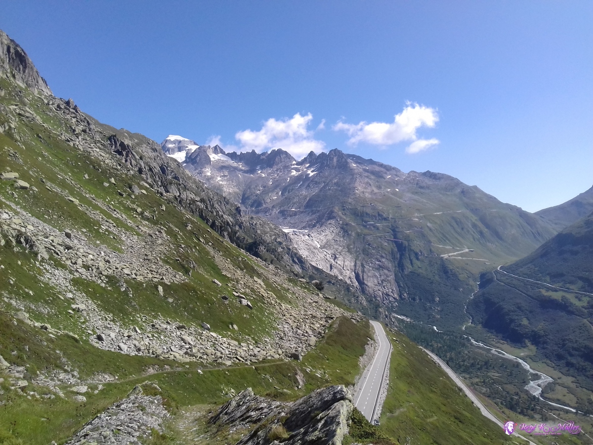 2019/08/25 11:22 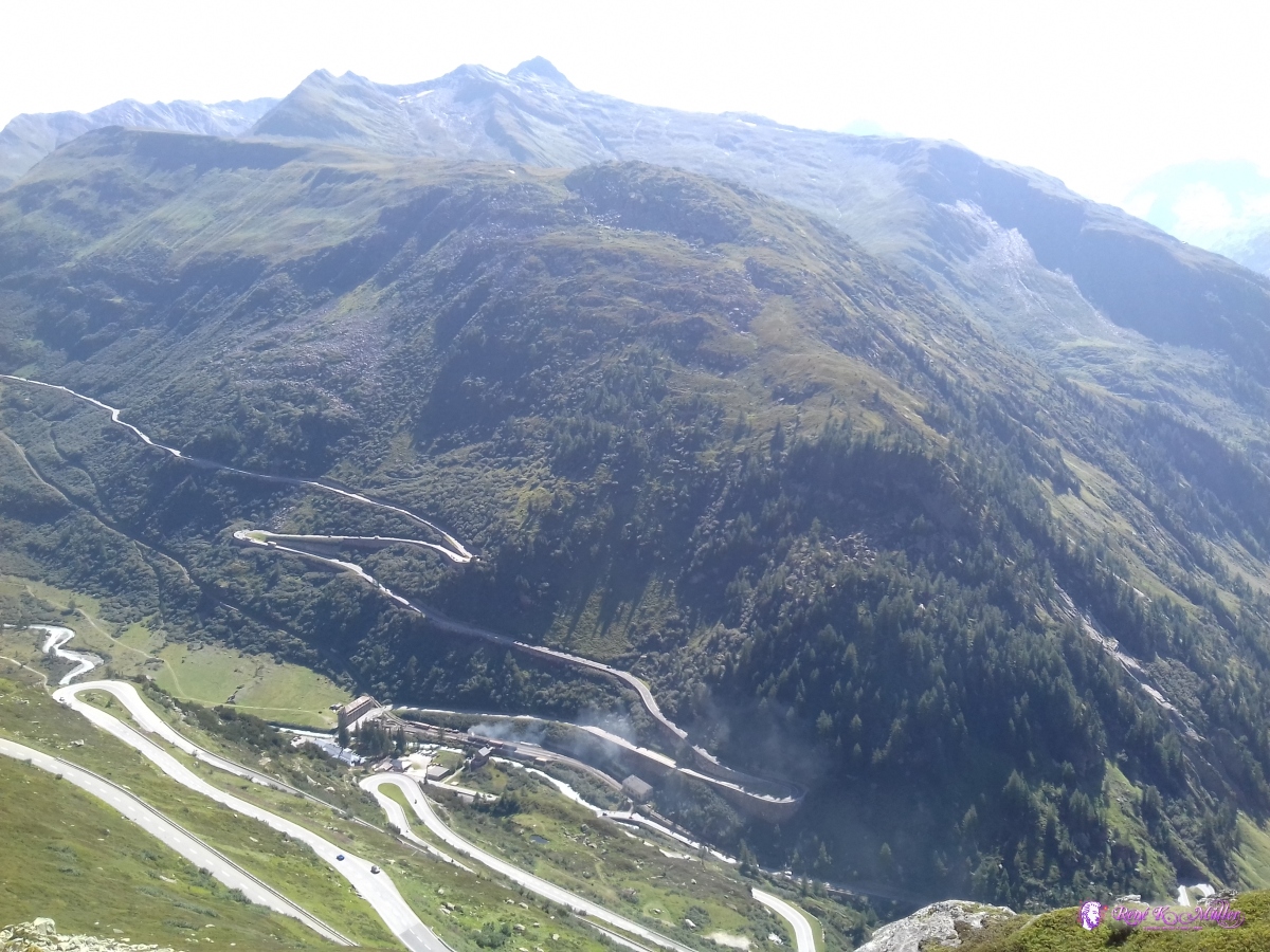 2019/08/25 11:22 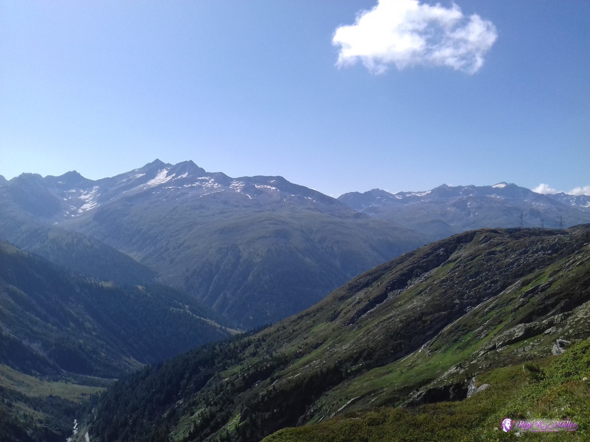 2019/08/25 11:23 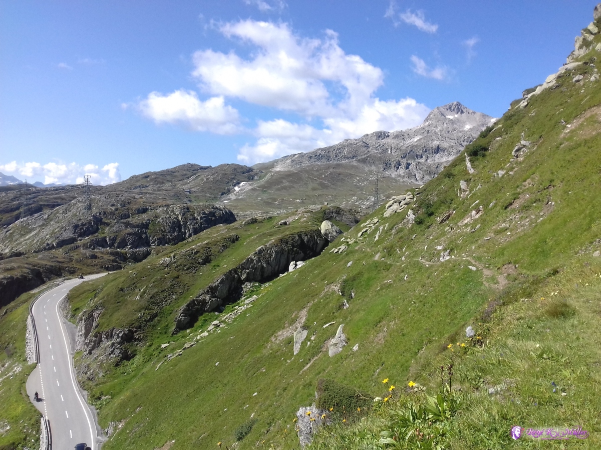 2019/08/25 11:24 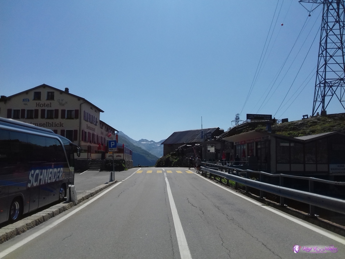 2019/08/25 11:31 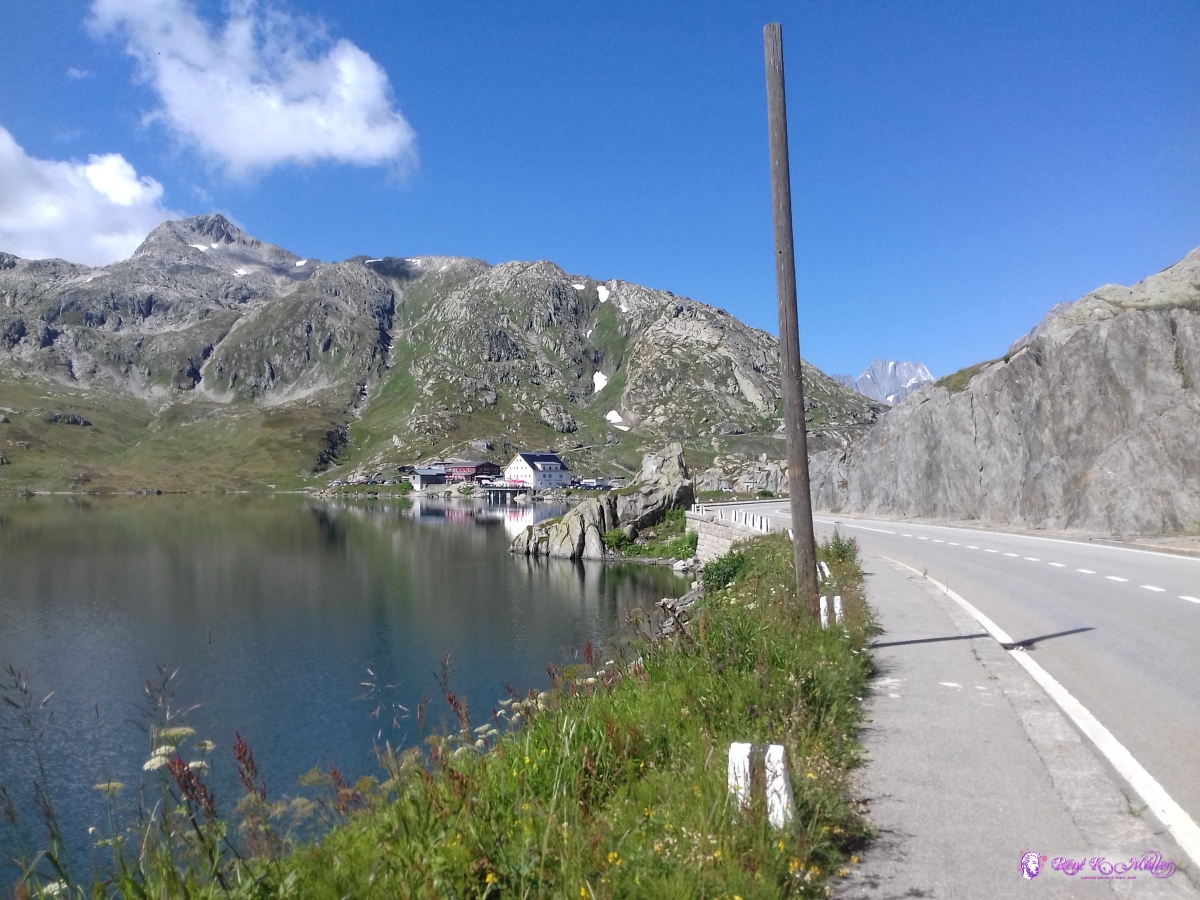 2019/08/25 11:32  2019/08/25 11:34 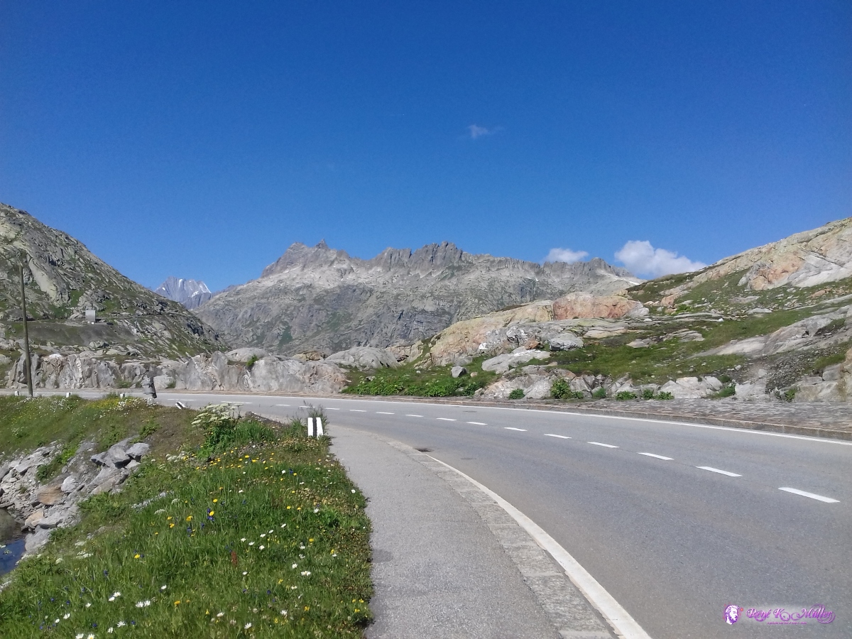 2019/08/25 11:35 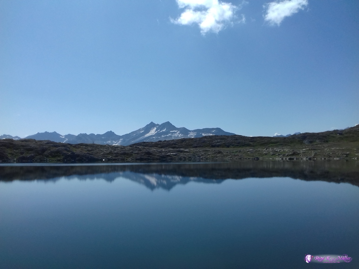 2019/08/25 11:37 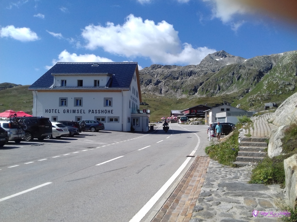 Grimselpass 2019/08/25 11:38 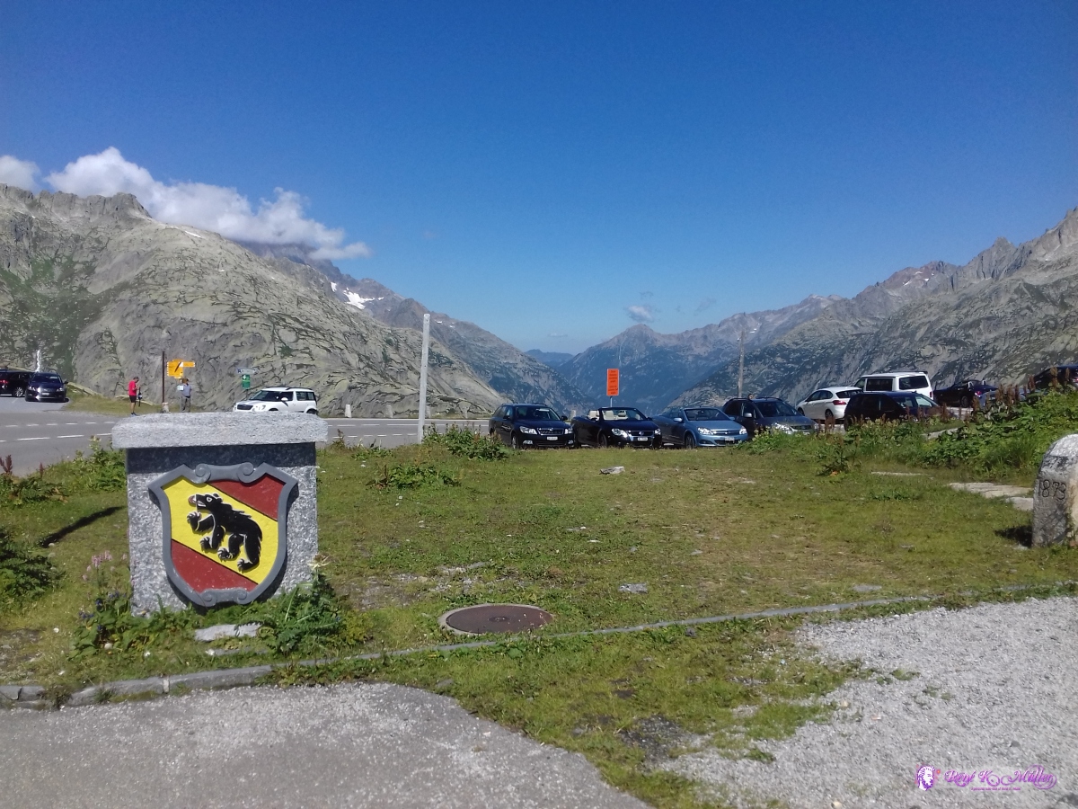 Bern (Canton) boundary 2019/08/25 12:07 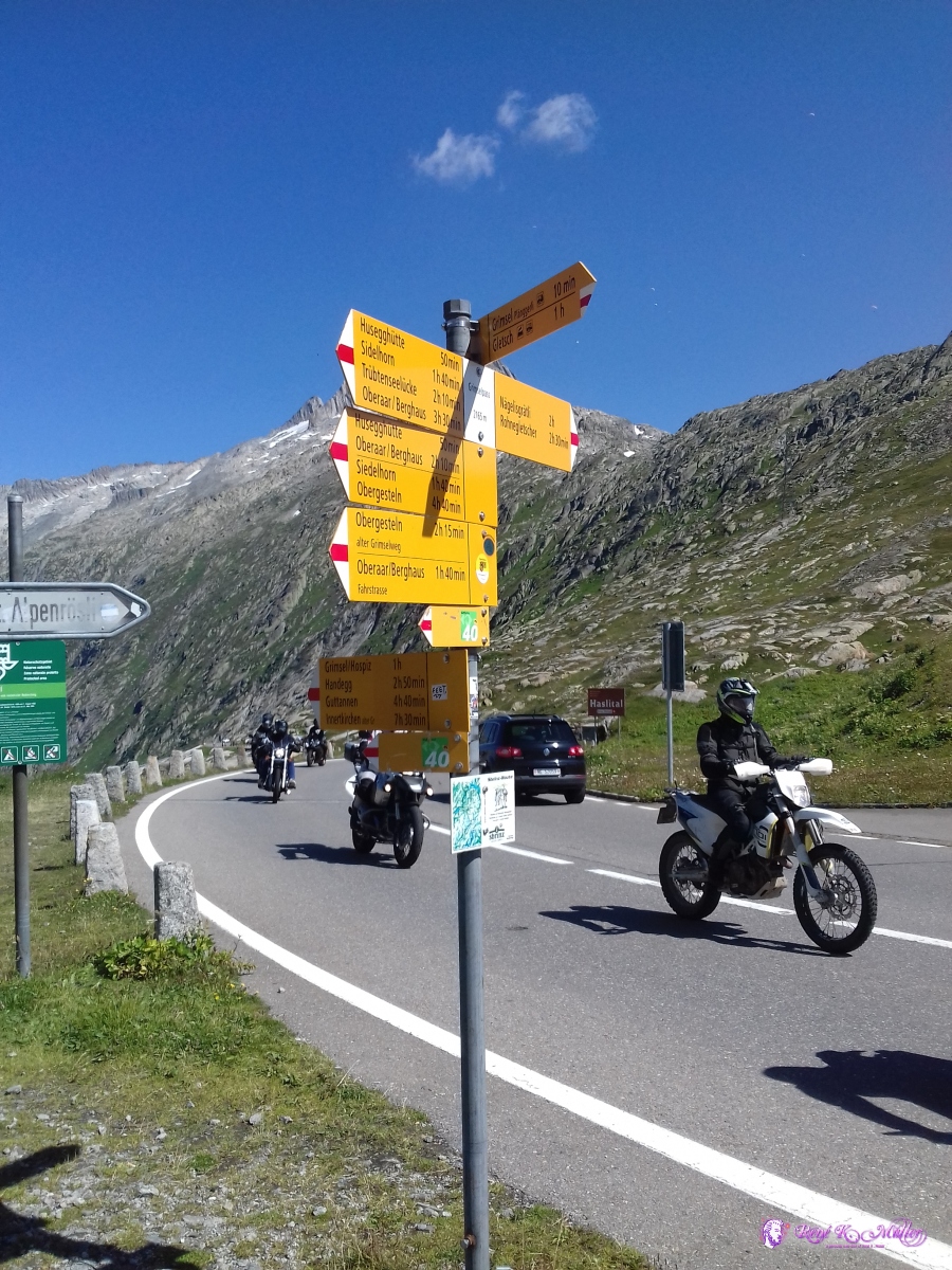 2019/08/25 12:08 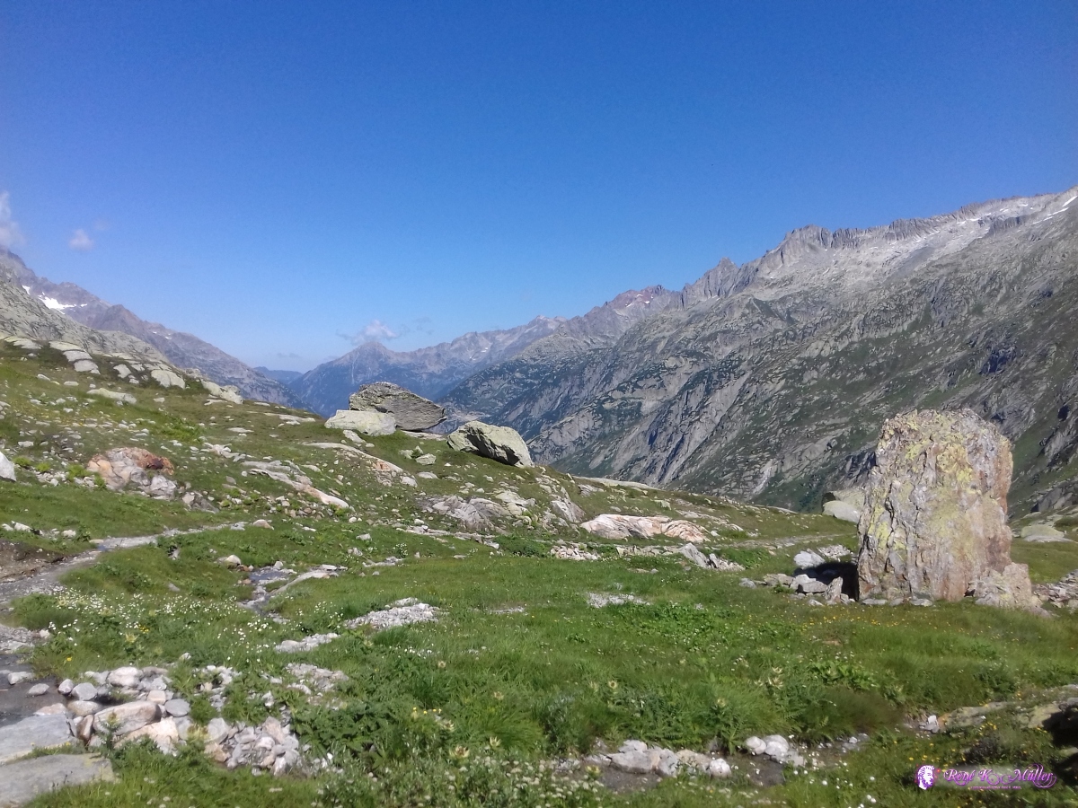 Grimsel 2019/08/25 12:14 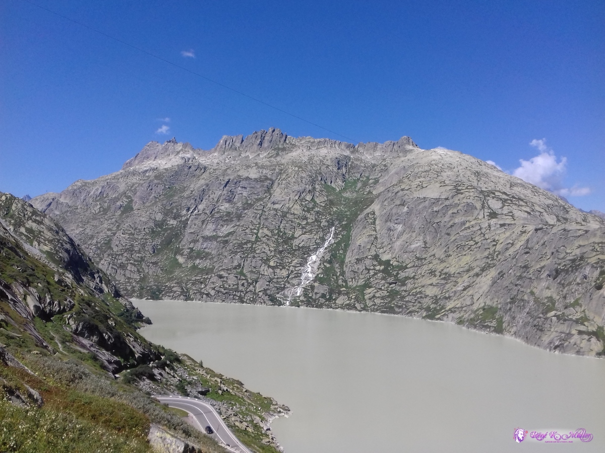 2019/08/25 12:27 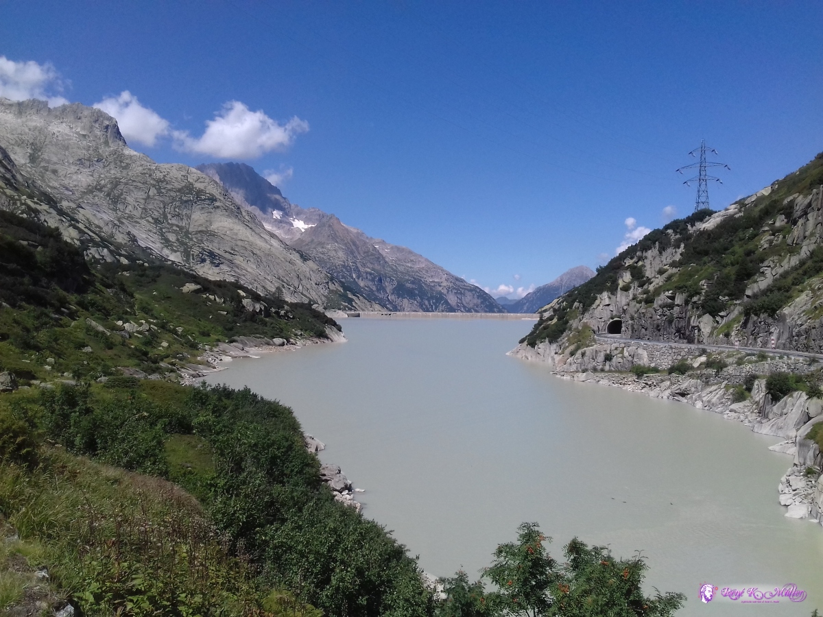 2019/08/25 13:22  2019/08/25 13:33 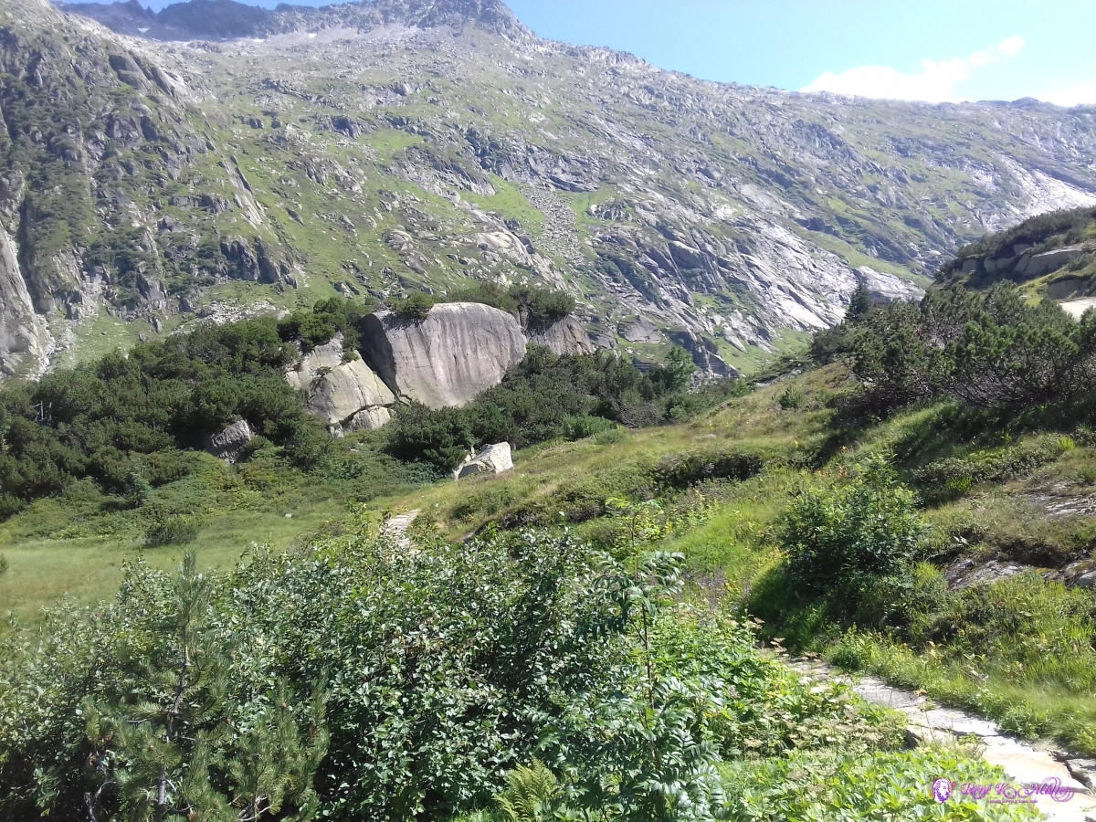 2019/08/25 13:33 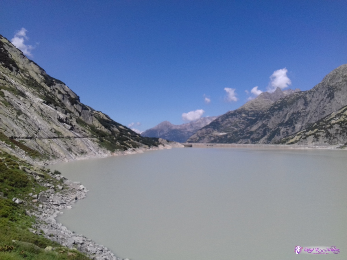 2019/08/25 13:41  2019/08/25 13:41 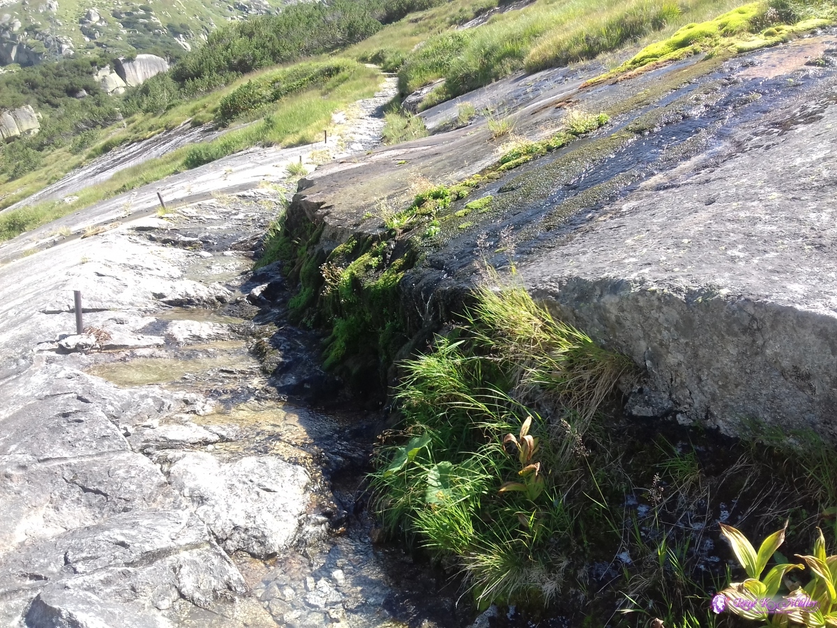 2019/08/25 13:41 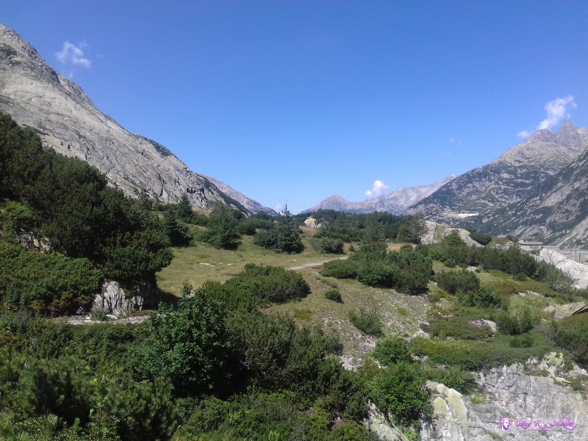 2019/08/25 14:04 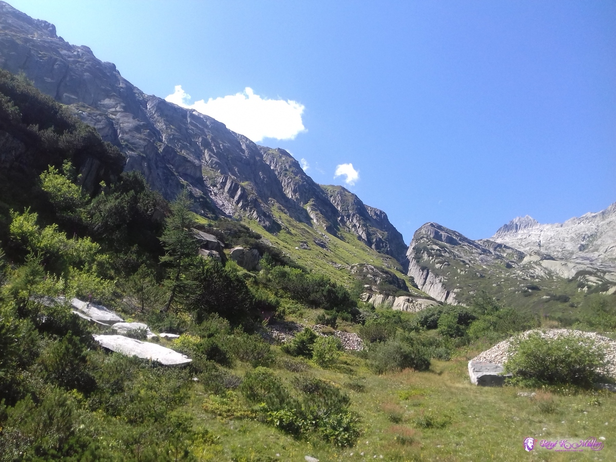 2019/08/25 14:06 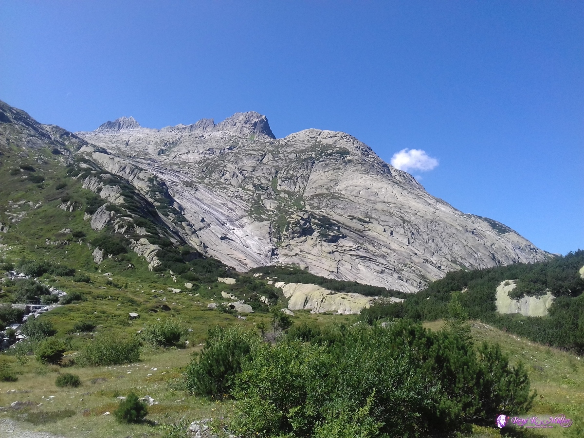 2019/08/25 14:08 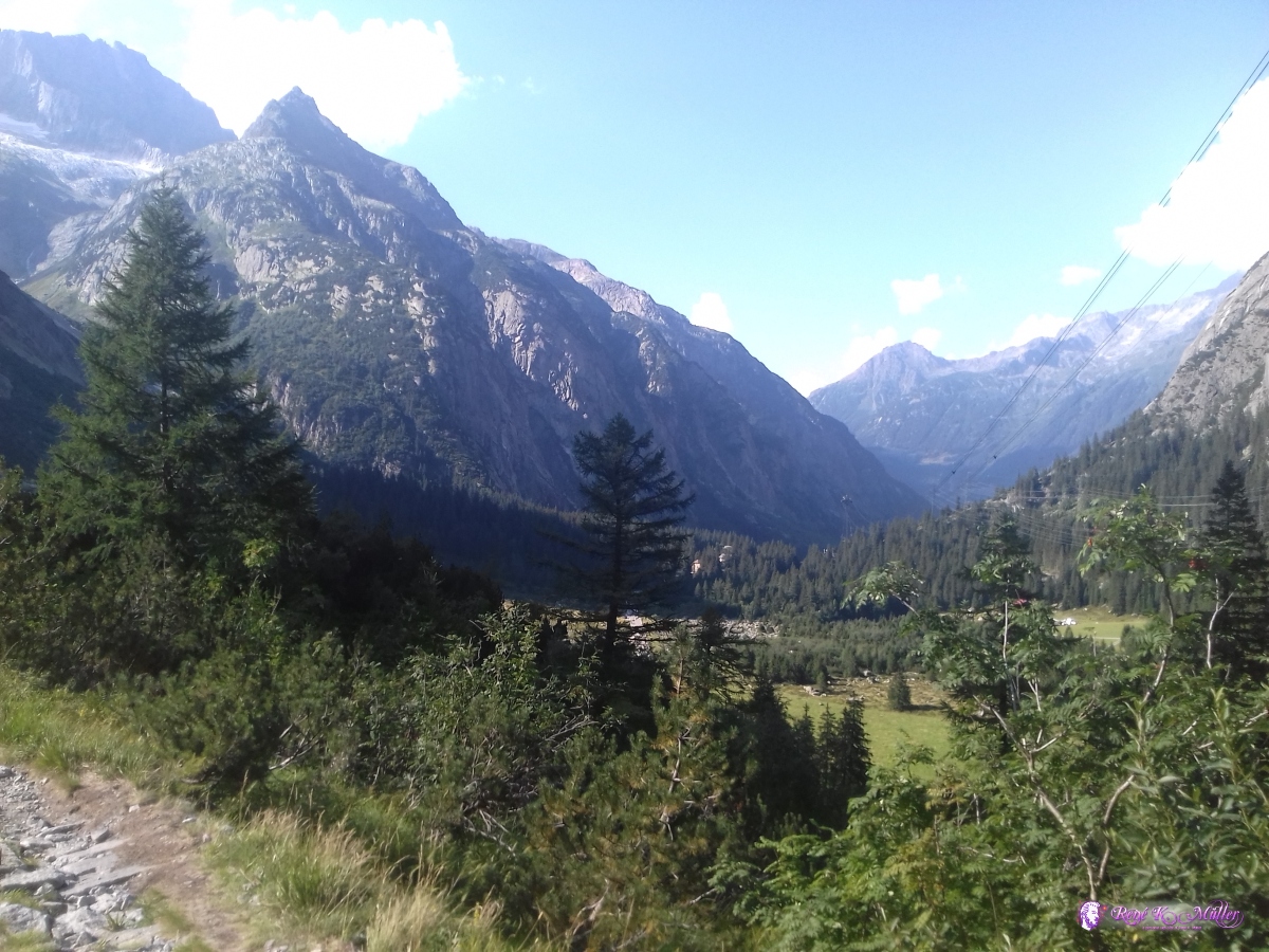 2019/08/25 16:48 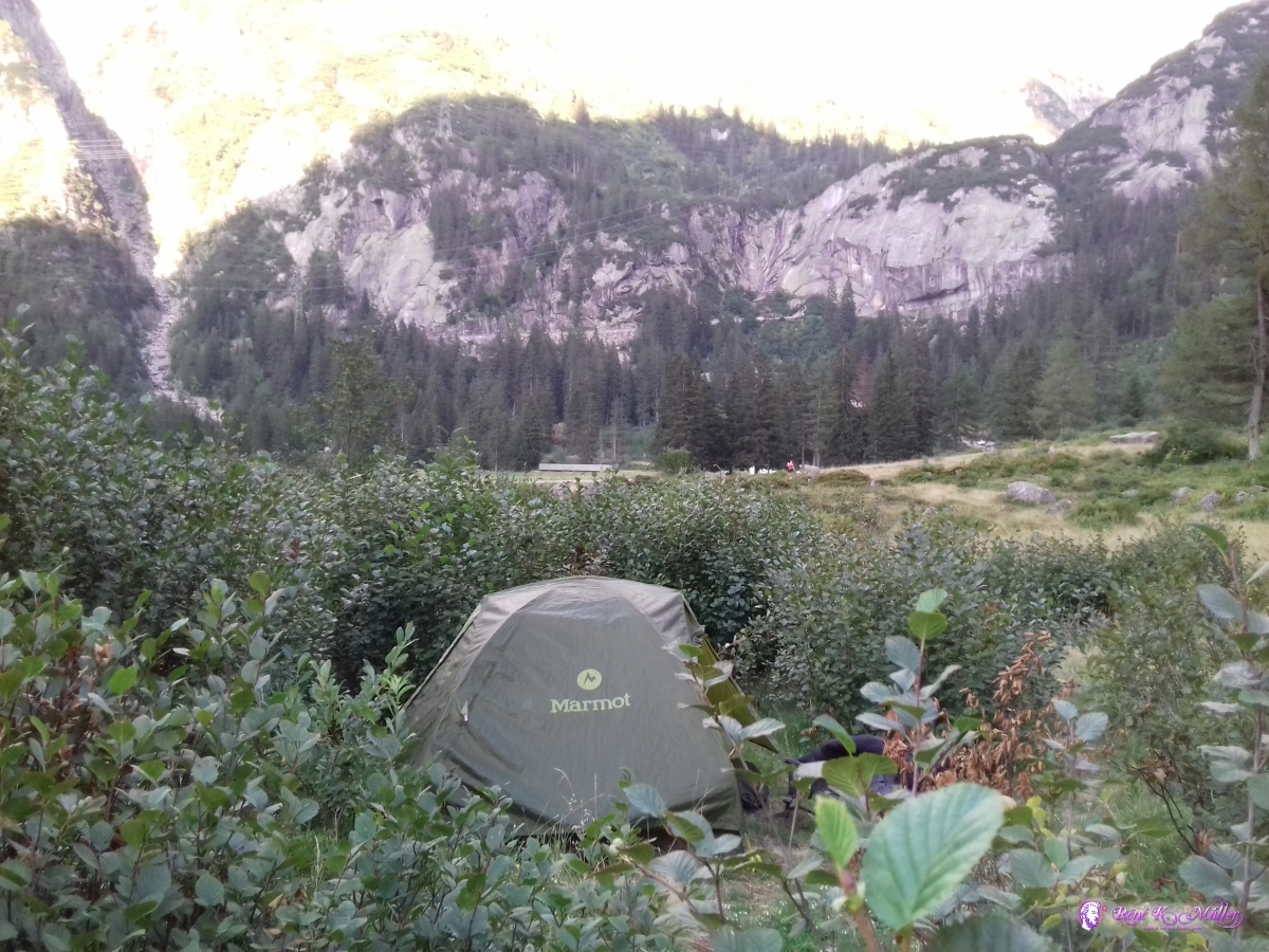 2019/08/25 18:32  2019/08/25 18:32
Like every evening, I cooked some pasta with tomato or onion soup powder mixed in and sufficient salt sudden chilling wind started once the sun began to set below the top of the mountains. A brief video taken close to the Grimselpass, while still looking at Furka, Gletsch (down below):
2019/08/26 (Day 4): Grimselpass - Innertkirchen7:30 again I got up and packed as usual, the tent still mildly moist, but no rain in the night apprx. 10C and wore my long sleeve shirt for the first hour while descending further until I've got warm enough and changed back to my blue breathable t-shirt. Anyway, the descent was long, from Handegg to Innertkirchen, and cumbersome, as the path wasnt steadily descending, but everytime the valley got narrow, the path diverted up 20-50Hm into the forest, and rather steep descent afterwards all in all the descent lasted ~20km. At 13:30 I reached Innertkirchen, and decided to end this trip here.
 2019/08/26 07:39 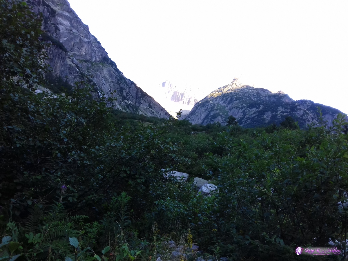 2019/08/26 07:39 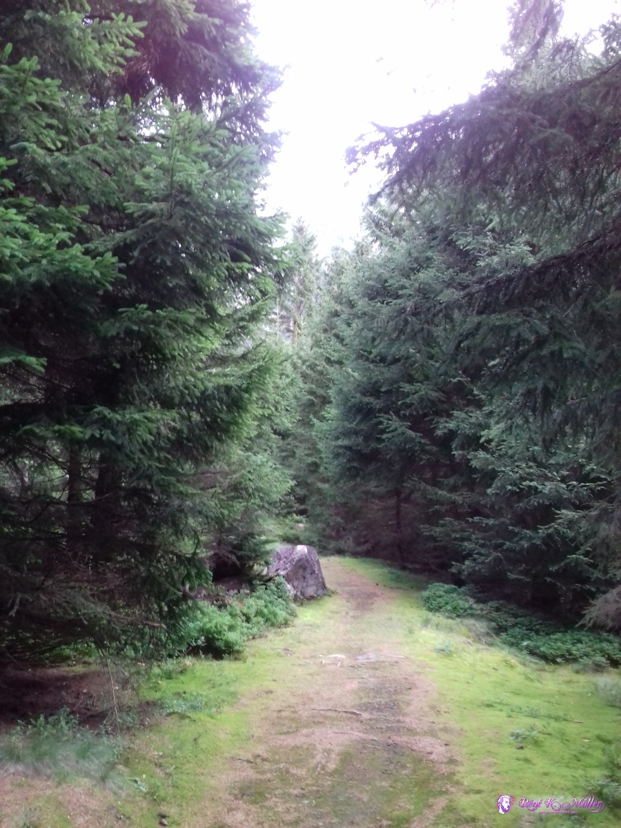 2019/08/26 08:28  2019/08/26 08:47  2019/08/26 10:13  2019/08/26 10:13  2019/08/26 10:30  2019/08/26 11:06  2019/08/26 11:25  2019/08/26 11:28  2019/08/26 13:26  2019/08/26 14:08  2019/08/26 15:01 From Innertkirchen I took the train to Meiringen, from there over the Bruenig to Lucerne, and finally back to Zug. ReflectionThe 2nd tour was 4 days long and my physical endurance has increased as I was hiking with light baggage the past weeks since my first tour earlier. The route also was more around accessible passes with roads, which at weekends are quite busy. Yet the scenery was most beautiful but I prefer more remote and silent regions like the 1st trip I made.That's it. .:.
|