
Travel Overview
2026: Various Hikes / Tours
2025: Various Hikes / Tours
2024: Various Hikes / Tours
2023: Hiking Swiss Alps
2023: Various Hikes / Tours
2022: Various Hikes / Tours
2021: Various Hikes / Tours
2020: Hiking Swiss Jura Crest & Alpine Panorama Trail
2020: Hiking Swiss Alps
2020: Various Hikes / Tours
2019: Hiking 4 Days in Swiss Alps, Furka & Grimsel
2019: Hiking 5 Days Gotthard Region
2016: Tour Aare, Les Doubs & Rhein
2015: France & Italy
2014: Central Europe
2013: France & Italy
2012: Italy & France
2011: Europe: Three Tours
 2010: India
2009: France: Two Tours
2008: Tour de Romandie
2008: Zug - Bern - Zug
2008: Strasbourg
2008: Europe
2007: France
2005: France & Italy
2004: USA: Denver - Sedona
2004: Lenzburg - Marseille
2004: La Gomera
2003: Sardinien
2003: La Gomera
2002: Korsika
2002: Bordeaux - Hendaye
1998: Switzerland
1997: USA
1996: USA: Colorado & Arizona
2010: India
2009: France: Two Tours
2008: Tour de Romandie
2008: Zug - Bern - Zug
2008: Strasbourg
2008: Europe
2007: France
2005: France & Italy
2004: USA: Denver - Sedona
2004: Lenzburg - Marseille
2004: La Gomera
2003: Sardinien
2003: La Gomera
2002: Korsika
2002: Bordeaux - Hendaye
1998: Switzerland
1997: USA
1996: USA: Colorado & Arizona
Spirituality Overview
My Experiences with Channeling
Protection of ...
Earthkeeper Vision
Art of Descension
Reincarnation and The Self
Multidimensional Realities
Third Eye
Spiritual Evolution
I Am The Light
Sleeping Humankind
Numbers
Spirit Diary
Quotes
|
"Our greatest fear is not that we are inadequate, but that we are powerful beyond measure."
Marianne Williamson |
2020: Various Hikes / Tours
Some smaller hikes or tours
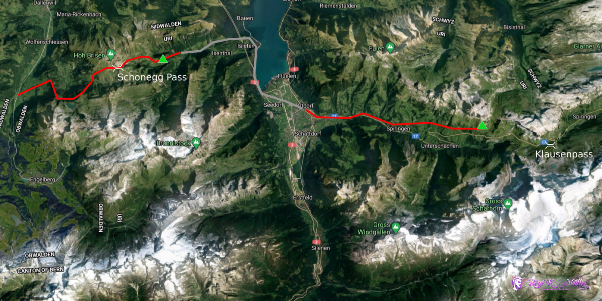
Highlights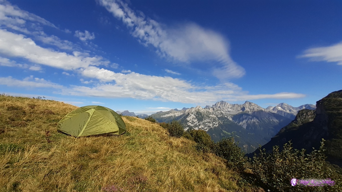 Camp-site & Gross Windgällen 2020/08/25 17:10 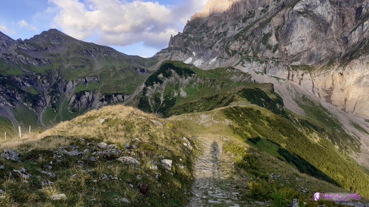 Surenenpass ahead ◈ Attinghausen, 2020/08/26 07:28  ◈ Angistock, Sulzwald, Erstfeld, 2020/08/26 07:50 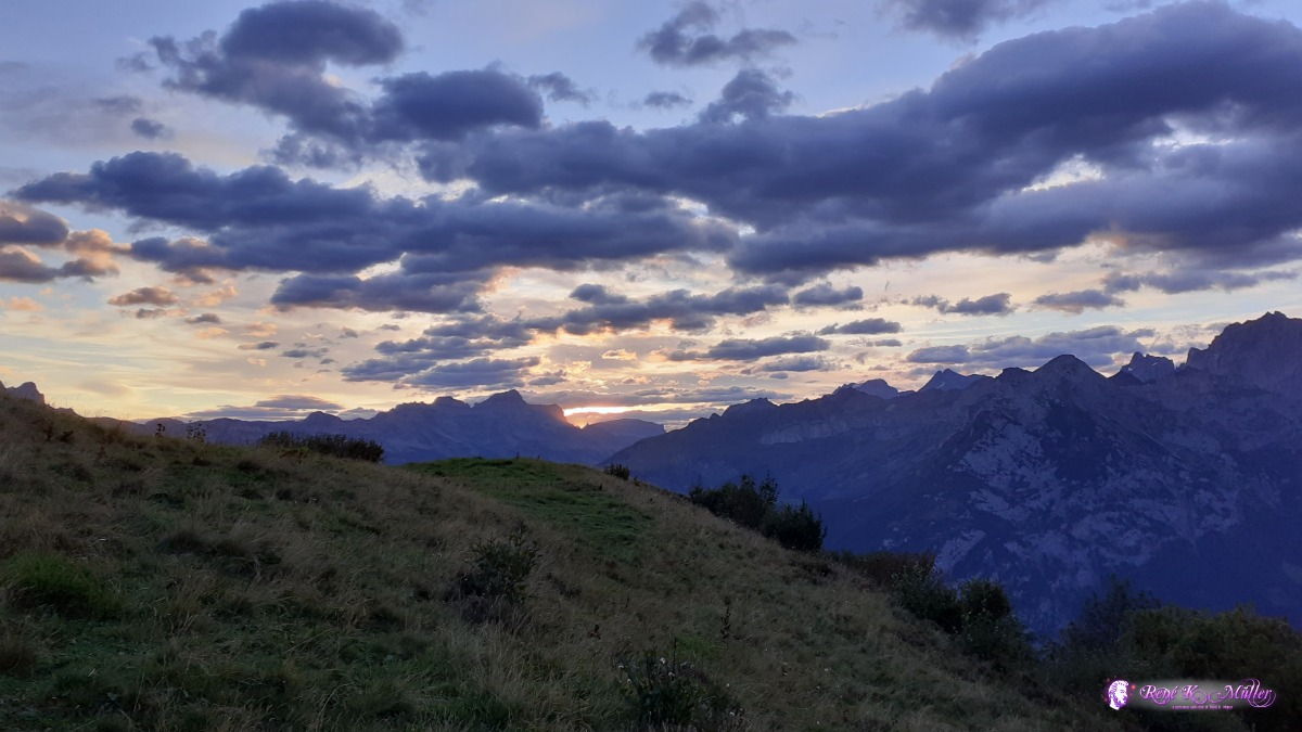 ◈ Chraienhöreli, Bocki, Erstfeld, 2020/08/26 06:49 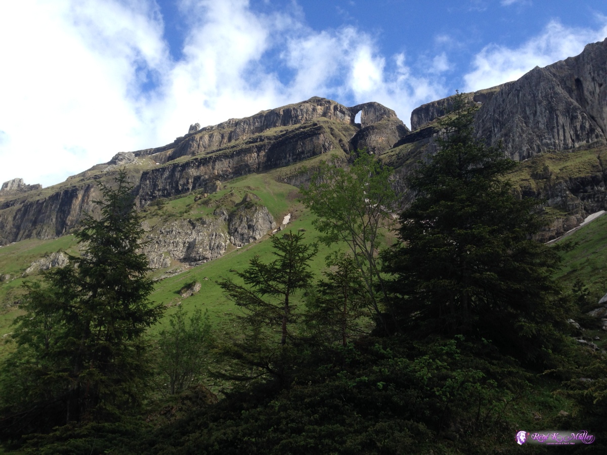 Tor at Oberalper Grat ◈ Sulztal, Isenthal (Δ 1668m), 2020/06/11 15:13  ◈ Ribi, Unterschächen (Δ 1800m), 2020/06/12 15:39  View toward Bulle and Lake of Gruyere ◈ Pont-en-Ogoz, 2020/09/13 12:50 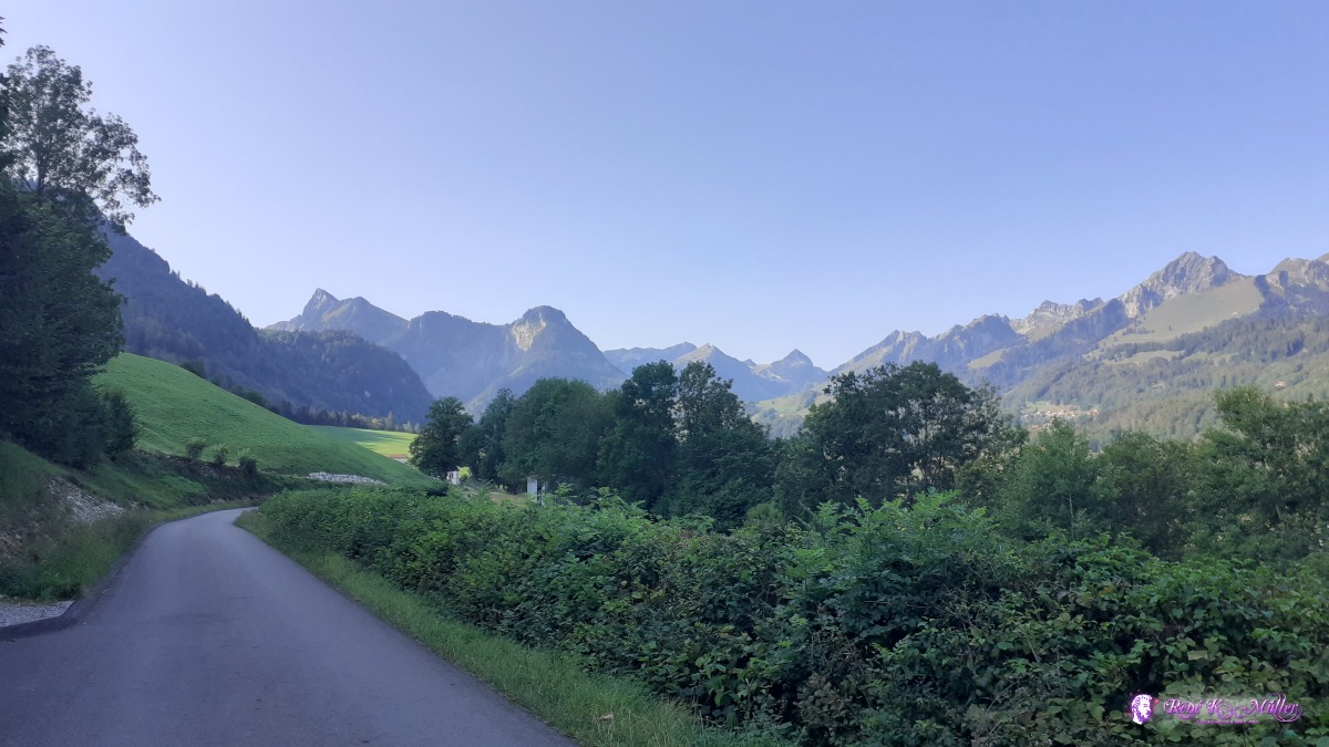 Valley of Gruyere 2020/09/14 09:46  ◈ Hohenrain, 2020/10/08 09:00  View toward Zugerland with the Lake of Zug & mountain Rigi ◈ Oberalbis, Hausen am Albis, 2020/10/30 10:16  Above the sea of fog ◈ Bellikon, 2020/10/31 13:12  Sunlight in the forest . . . 2020/10/31 16:13  2020/11/13 14:56  ◈ Zuger Wanderwege, Steinerberg, 2020/11/14 13:19 2 Days Hike: Grafenort - Schonegg Pass - Altdorf - Klausenpass
Thursday 2020/06/11: Grafenort - Schonegg Pass - IsenthalBrief window of opportunity opens for a 2 day hike from Grafenort / Oberifängi after a week of raining, starting late at noon as the clouds disperse and slowly ascending and face remaining clouds, actually walking into them and fine misty rain starts as I reach Schonegg Pass 15:45 at 1900m elevation and descend quickly and more rain is pouring and I wait near a small barn just below for apprx. 40min until rain stops and continue to descend via Gitschenen. Along the hike trail I find a small spot to pitch the tent for tonight - the sun comes through and dries my cloths and shoes - a good rest for tonight. ◈ Bättelrüti, Wolfenschiessen (Δ 1166m), 2020/06/11 10:09  ◈ Burgholz, Wolfenschiessen (Δ 1211m), 2020/06/11 10:25  ◈ Oberfeld, Wolfenschiessen (Δ 1385m), 2020/06/11 11:20 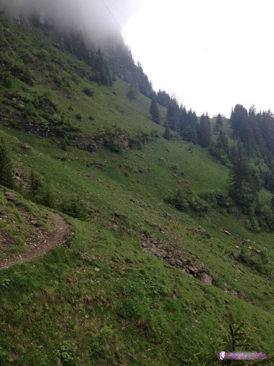 ◈ Oberfeld, Wolfenschiessen (Δ 1360m), 2020/06/11 11:21  ◈ Oberfeld, Wolfenschiessen (Δ 1466m), 2020/06/11 11:46 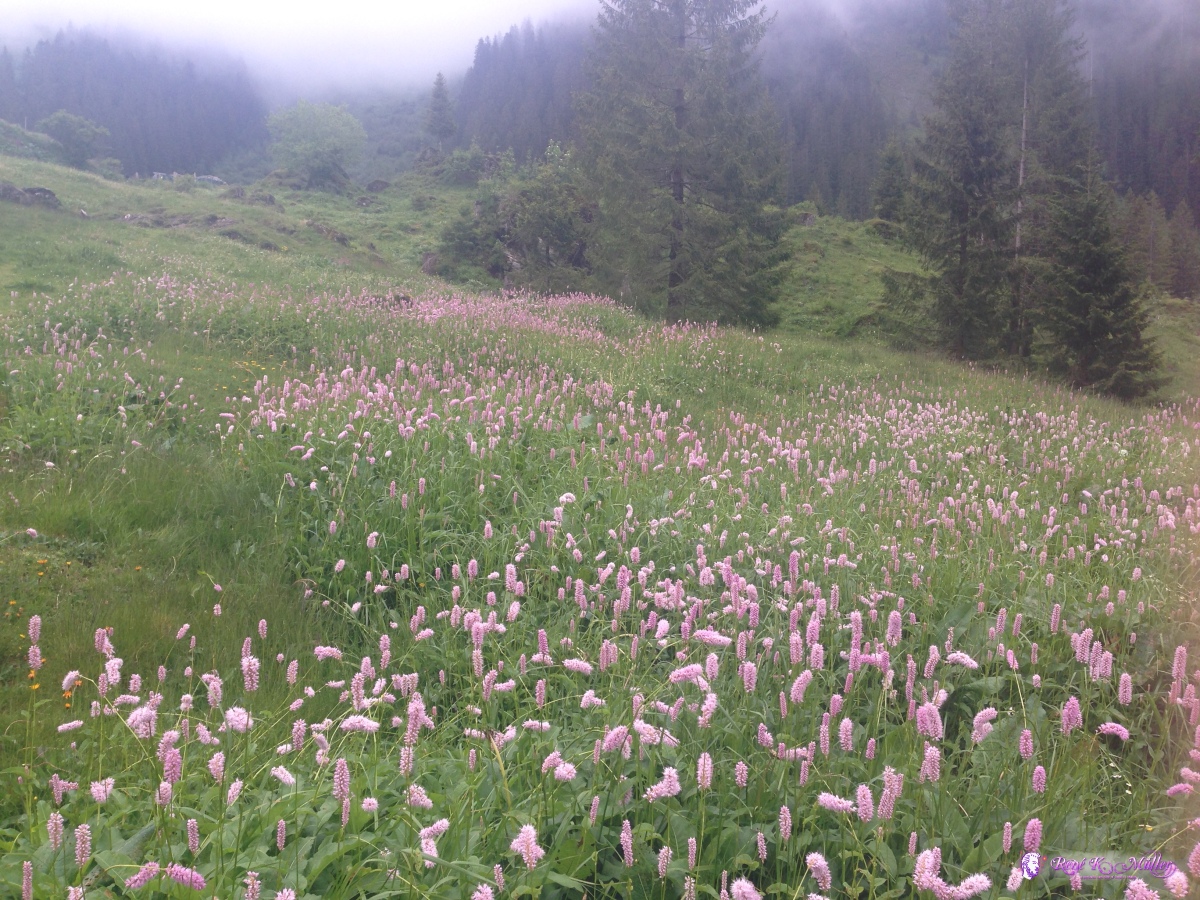 ◈ Räckholteren, Wolfenschiessen (Δ 1497m), 2020/06/11 12:22 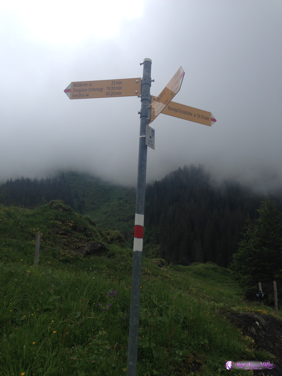 ◈ Räckholteren, Wolfenschiessen (Δ 1508m), 2020/06/11 12:25 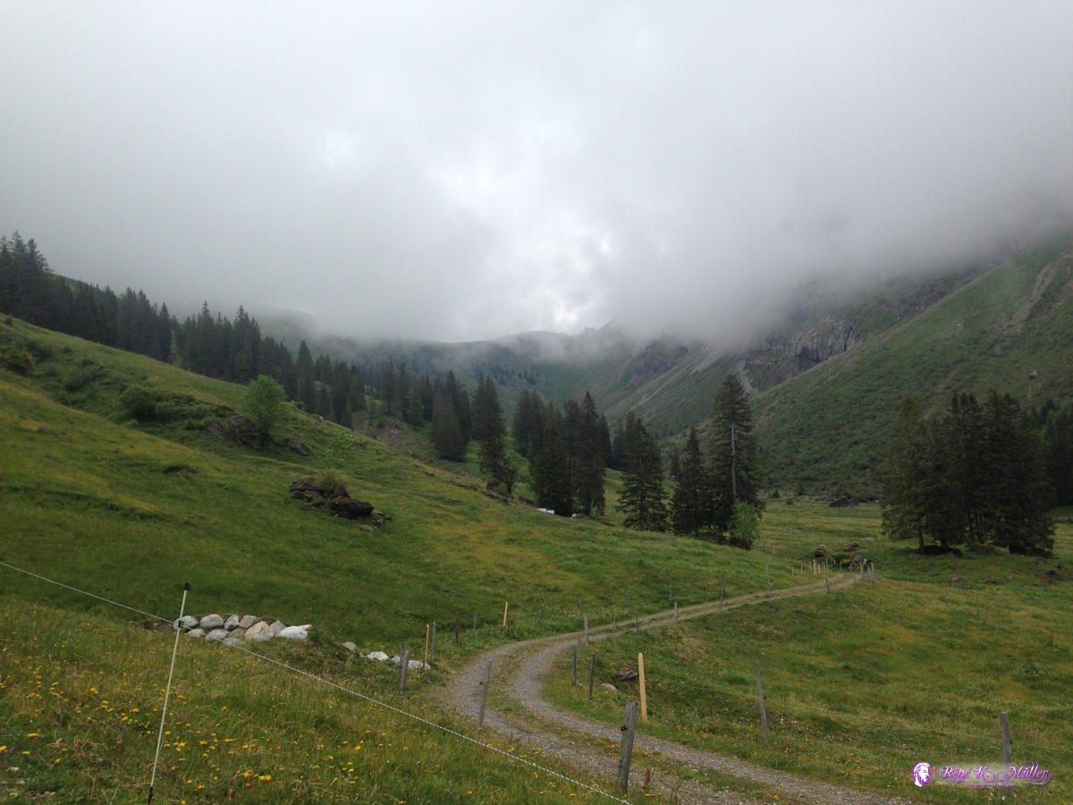 ◈ Räckholteren, Wolfenschiessen (Δ 1602m), 2020/06/11 12:36  ◈ Sinsgäuer Schonegg, Sulztal, Isenthal (Δ 1904m), 2020/06/11 13:47  Tor at Oberalper Grat 2020/06/11 15:05  2020/06/11 15:13 Tor at Oberalper Grat ◈ Sulztal, Isenthal (Δ 1668m), 2020/06/11 15:13  ◈ Kapelle Gitschenen, Sulztal, Isenthal (Δ 1534m), 2020/06/11 16:07 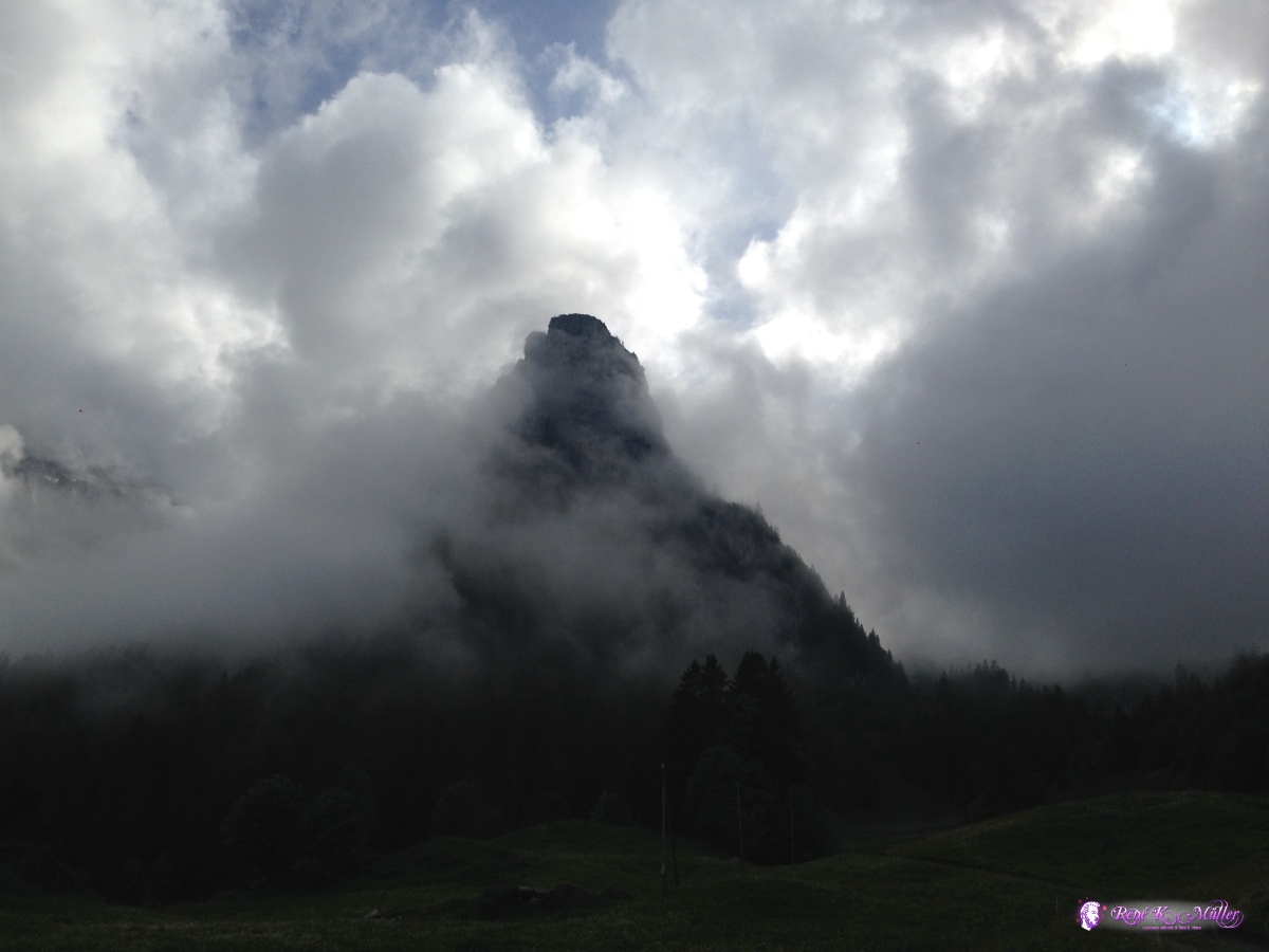 ◈ Kapelle Gitschenen, Sulztal, Isenthal (Δ 1534m), 2020/06/11 16:07 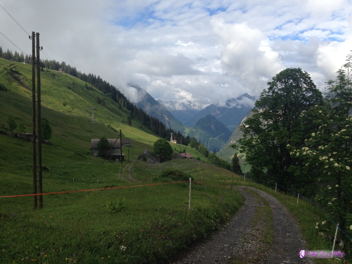 ◈ Sulztal, Isenthal (Δ 1519m), 2020/06/11 16:12 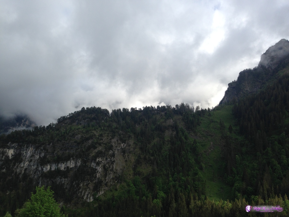 ◈ Sulztal, Isenthal (Δ 1337m), 2020/06/11 16:22 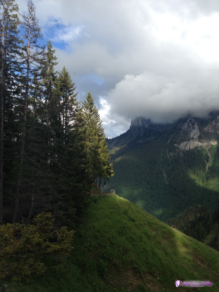 ◈ Sulztal, Isenthal (Δ 1426m), 2020/06/11 16:32 Friday 06/12: Isenthal - Altdorf - Heidmanegg / KlausenpassI continue descent until I reach paved road and a bus stop, and I decide to take the bus to Altdorf as given just 2 days to hike I like to ascend toward Klausenpass from Altdorf - once I reached Altdorf I hike up again from 450m up to 1800m but won't reach Klausenpass, but a bit before near Heidmanegg - given my physical condition being exhausted I can't hike further and it's a good place to stay for tonight. Tomorrow forecast states heavy thunderstorms and rain, so I realize I won't continue over the Klausenpass and Linthtal as I hoped - another time. 2020/06/12 05:26  2020/06/12 05:27  ◈ Sankt Jakob, Isenthal (Δ 1033m), 2020/06/12 05:45  ◈ Birchi, Isenthal (Δ 728m), 2020/06/12 06:26  ◈ Chäppeli, Birchi, Isenthal (Δ 638m), 2020/06/12 06:28  ◈ Vorderbärchi, Isenthal (Δ 643m), 2020/06/12 06:28 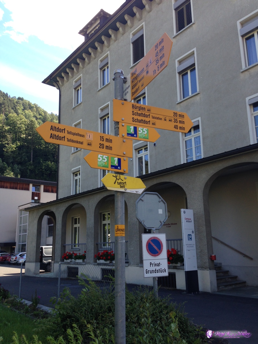 ◈ Altdorf (UR) (Δ 493m), 2020/06/12 07:50 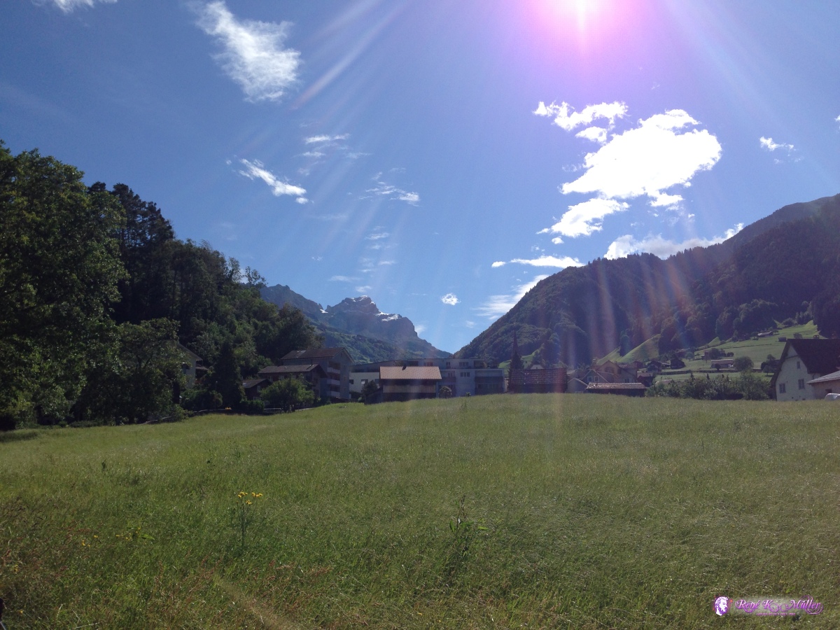 ◈ Altdorf (UR) (Δ 532m), 2020/06/12 07:51  ◈ Hartolfingen, Bürglen (UR) (Δ 520m), 2020/06/12 07:57 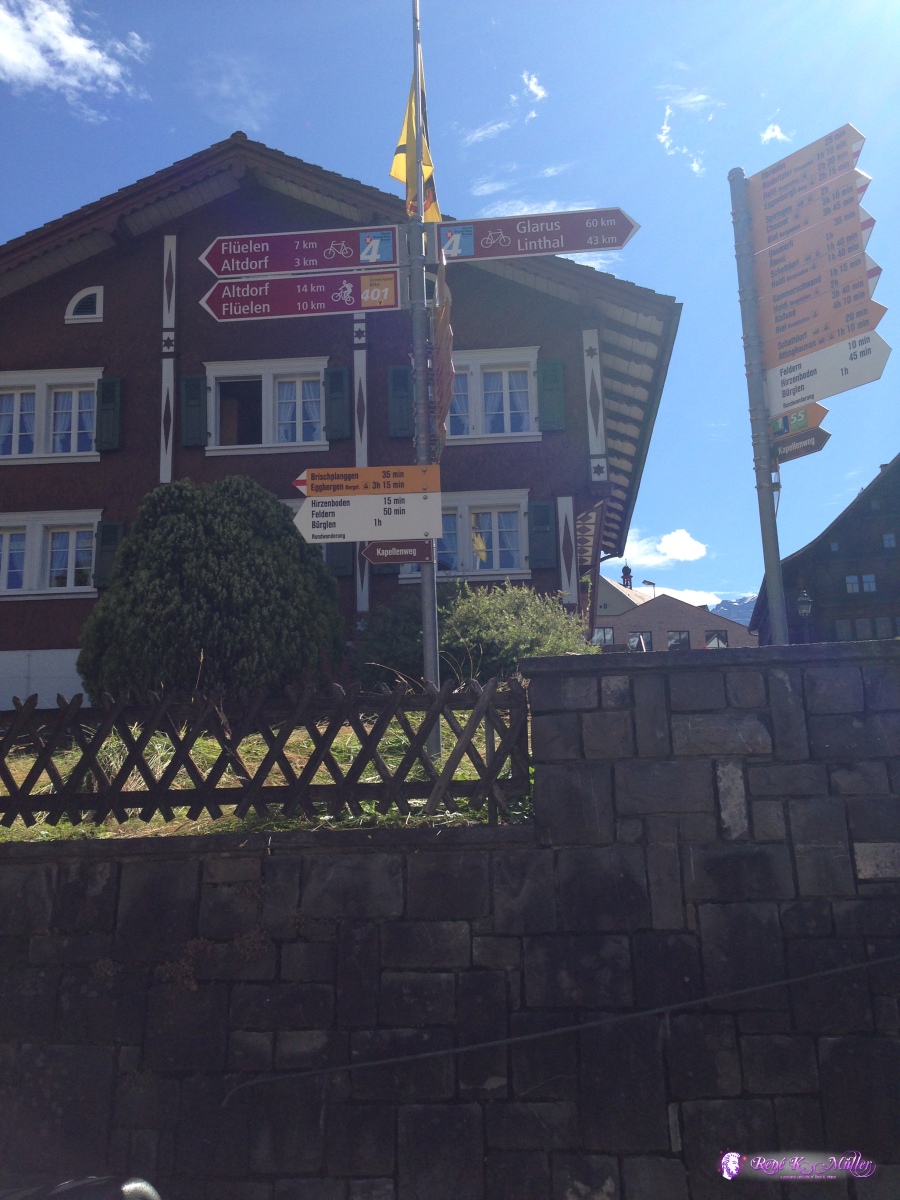 ◈ Altdorf (UR) (Δ 528m), 2020/06/12 08:02 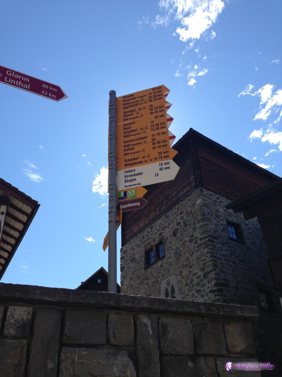 ◈ Hartolfingen, Bürglen (UR) (Δ 561m), 2020/06/12 08:03  ◈ Hartolfingen, Bürglen (UR) (Δ 663m), 2020/06/12 08:39  ◈ Sigmanig, Hartolfingen, Bürglen (UR) (Δ 730m), 2020/06/12 08:55  ◈ Bürglen (UR) (Δ 713m), 2020/06/12 09:55  ◈ Eggenbergli, Spiringen (Δ 948m), 2020/06/12 10:33  ◈ Bielen, Unterschächen (Δ 1337m), 2020/06/12 11:36  ◈ Ribi, Unterschächen (Δ 1625m), 2020/06/12 12:45  ◈ Ribi, Unterschächen (Δ 1624m), 2020/06/12 12:45 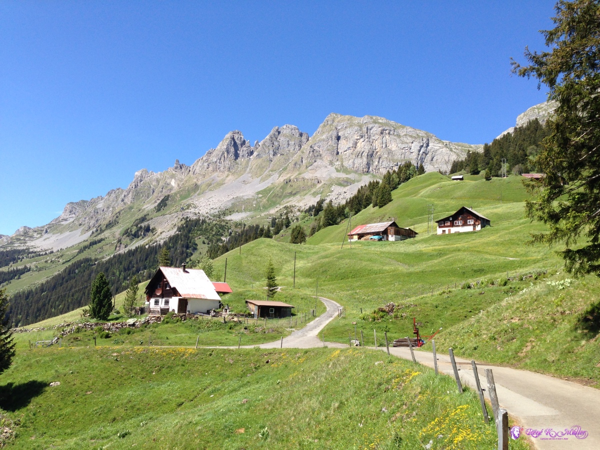 ◈ Ribi, Unterschächen (Δ 1625m), 2020/06/12 12:45 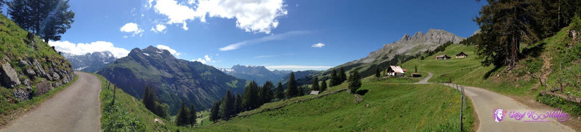 ◈ Ribi, Unterschächen (Δ 1624m), 2020/06/12 12:45 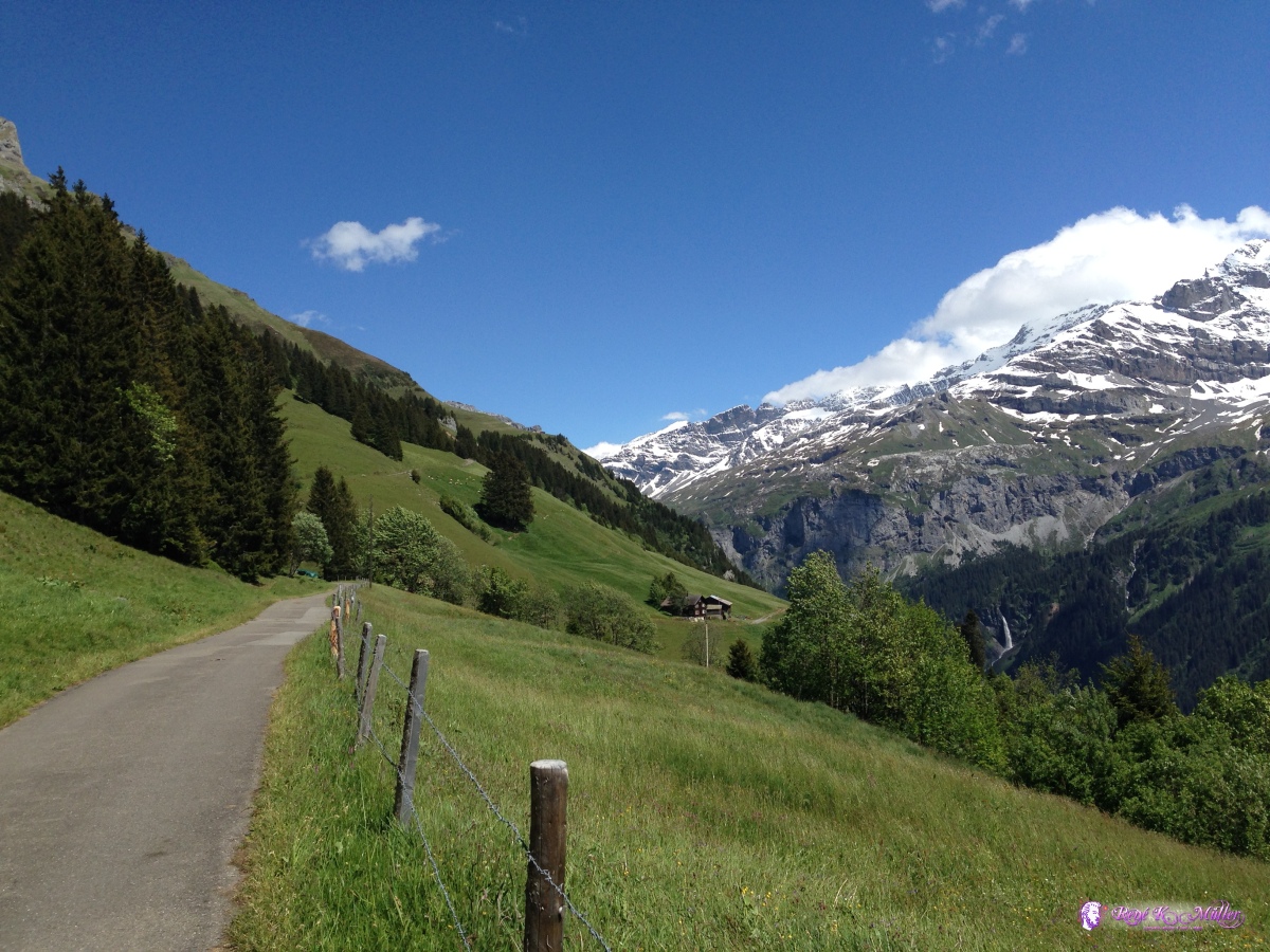 ◈ Ribi, Unterschächen (Δ 1697m), 2020/06/12 13:00 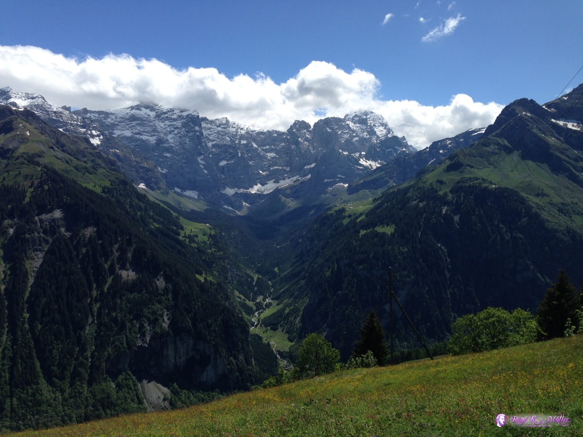 ◈ Ribi, Unterschächen (Δ 1653m), 2020/06/12 13:10 ◈ Ribi, Unterschächen (Δ 1800m), 2020/06/12 15:39  ◈ Ribi, Unterschächen (Δ 1787m), 2020/06/12 15:39  ◈ Ribi, Unterschächen (Δ 1810m), 2020/06/12 16:51  ◈ Ribi, Unterschächen (Δ 1796m), 2020/06/12 16:52  ◈ Ribi, Unterschächen (Δ 1802m), 2020/06/12 16:52  ◈ Ribi, Unterschächen (Δ 1801m), 2020/06/12 18:15 Saturday 06/13: Heidmanegg / Klausenpass - Urigen - Altdorf6:30 I descend quickly back to Urigen, where the bus service is available, as only next week the bus actually goes over the Klausenpass, but for now only goes to Urigen - from there I ride back to Altdorf and from there take the train again.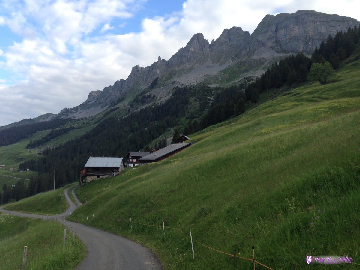 2020/06/13 05:31 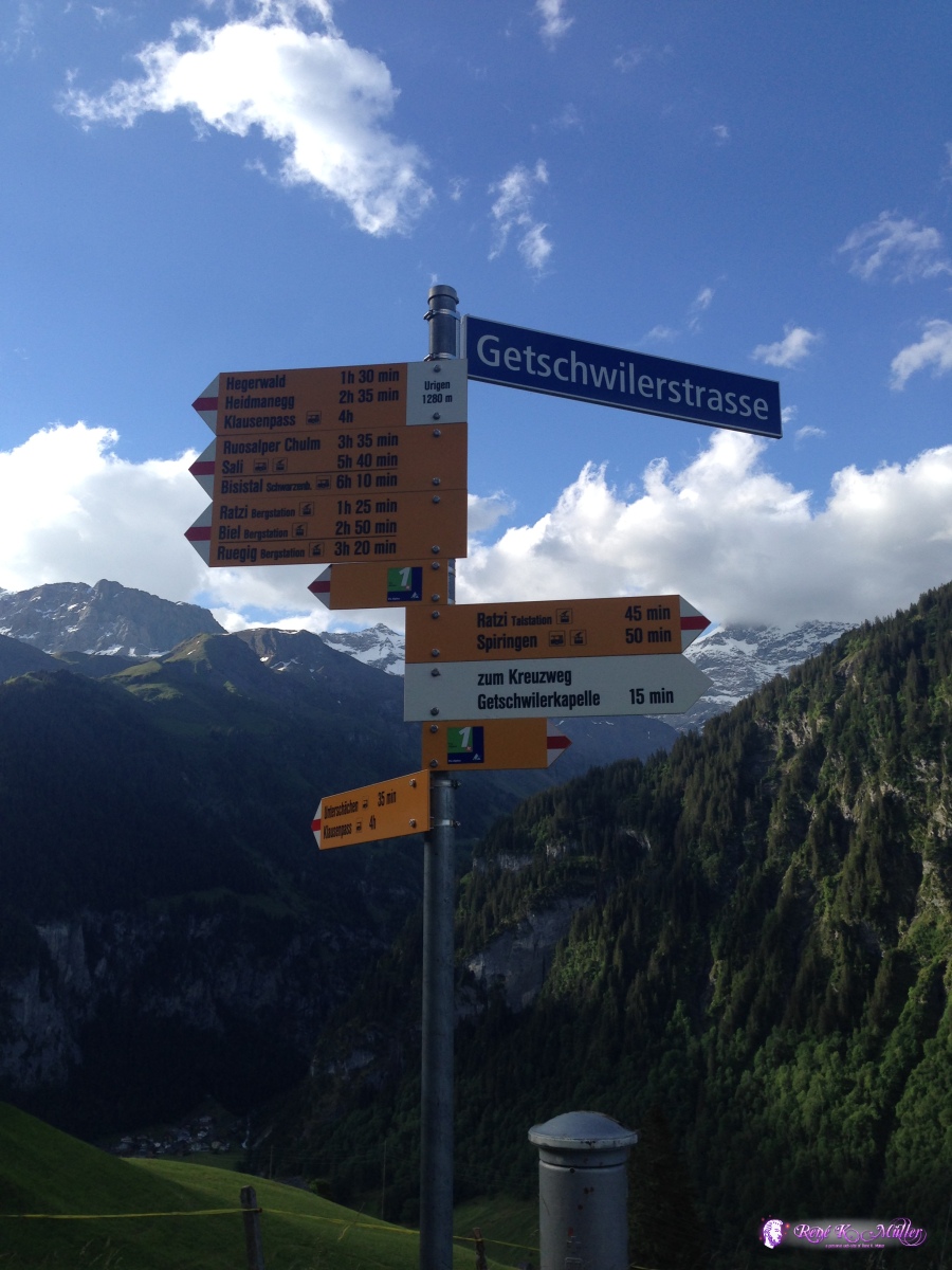 ◈ Posthaus Urigen, Ribi, Unterschächen (Δ 1267m), 2020/06/13 06:10 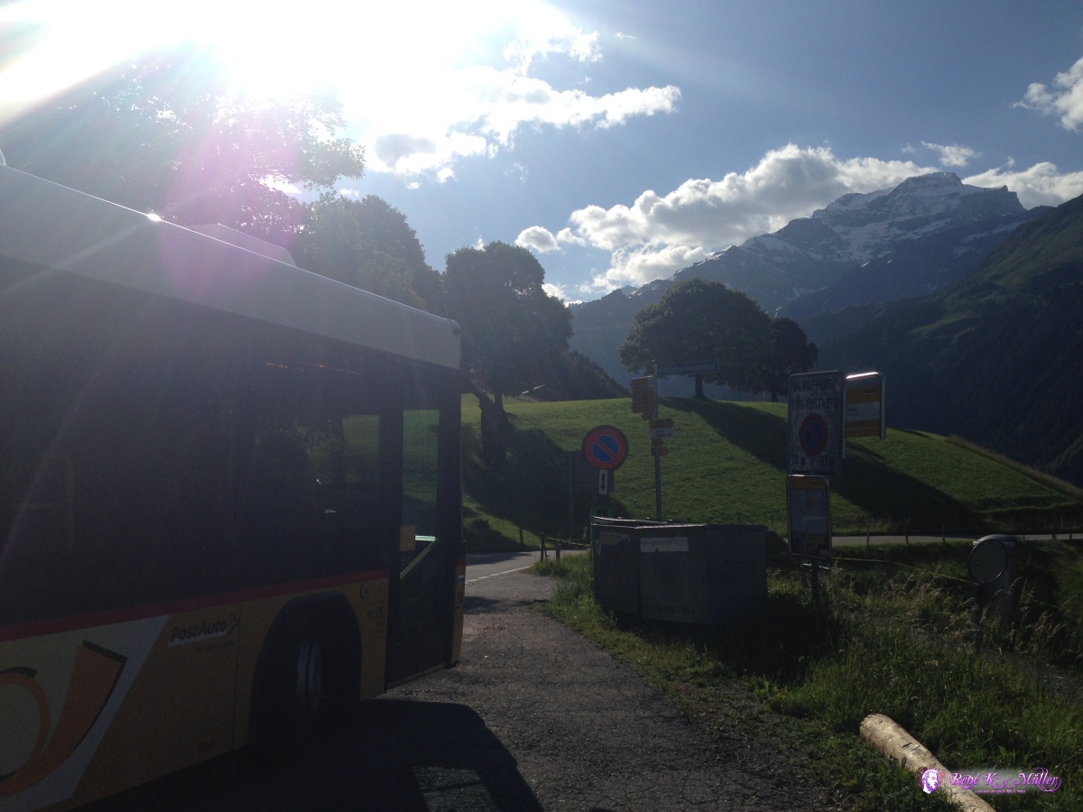 ◈ Bielen, Unterschächen (Δ 1275m), 2020/06/13 06:37 After this brief hike I realized I wanted to go longer and stay higher up, and so I did two weeks hike in the alps as next.
Content:
|