

Travel Overview
2026: Various Hikes / Tours
2025: Various Hikes / Tours
2024: Various Hikes / Tours
2023: Hiking Swiss Alps
2023: Various Hikes / Tours
2022: Various Hikes / Tours
2021: Various Hikes / Tours
2020: Hiking Swiss Jura Crest & Alpine Panorama Trail
2020: Hiking Swiss Alps
2020: Various Hikes / Tours
2019: Hiking 4 Days in Swiss Alps, Furka & Grimsel
2019: Hiking 5 Days Gotthard Region
2016: Tour Aare, Les Doubs & Rhein
2015: France & Italy
2014: Central Europe
2013: France & Italy
2012: Italy & France
2011: Europe: Three Tours
 2010: India
2009: France: Two Tours
2008: Tour de Romandie
2008: Zug - Bern - Zug
2008: Strasbourg
2008: Europe
2007: France
2005: France & Italy
2004: USA: Denver - Sedona
2004: Lenzburg - Marseille
2004: La Gomera
2003: Sardinien
2003: La Gomera
2002: Korsika
2002: Bordeaux - Hendaye
1998: Switzerland
1997: USA
1996: USA: Colorado & Arizona
2010: India
2009: France: Two Tours
2008: Tour de Romandie
2008: Zug - Bern - Zug
2008: Strasbourg
2008: Europe
2007: France
2005: France & Italy
2004: USA: Denver - Sedona
2004: Lenzburg - Marseille
2004: La Gomera
2003: Sardinien
2003: La Gomera
2002: Korsika
2002: Bordeaux - Hendaye
1998: Switzerland
1997: USA
1996: USA: Colorado & Arizona
Spirituality Overview
My Experiences with Channeling
Protection of ...
Earthkeeper Vision
Art of Descension
Reincarnation and The Self
Multidimensional Realities
Third Eye
Spiritual Evolution
I Am The Light
Sleeping Humankind
Numbers
Spirit Diary
Quotes
|
"Yes, we scan."
Barack Obama |
2013: France & Italywritten by Rene K. Mueller, Copyright (c) 2013, last updated Mon, August 26, 2013 July 22, 2013: Sisteron - Gap - Embrun 69km (4:24) 1542kmVisiting Gap the first time, which was bizarre, first going up-hill in order to descend into the city itself.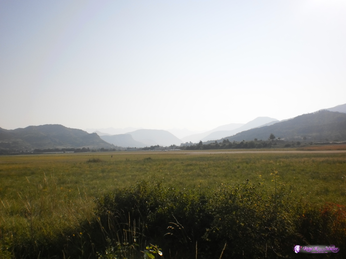 2013:07:22 08:39:15 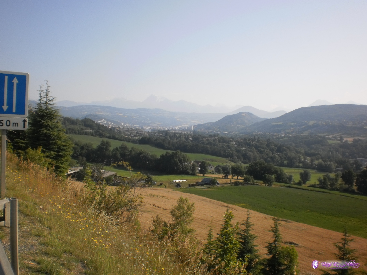 Looking at Gap 2013:07:22 09:19:07 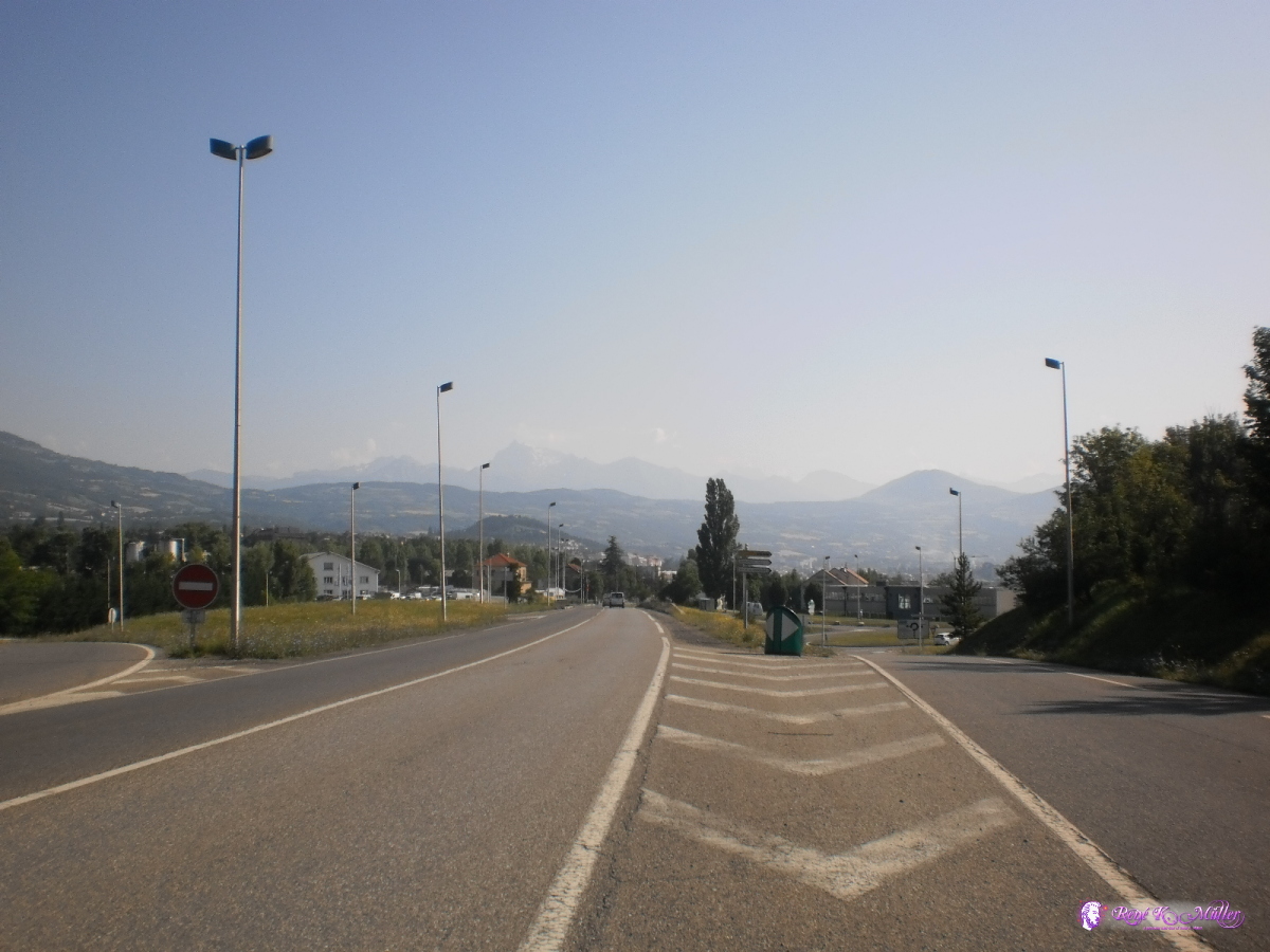 Descending to Gap 2013:07:22 09:28:40 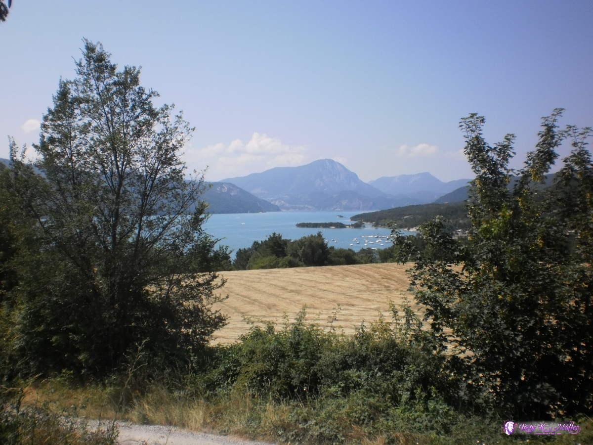 Lac de Serre-Poncon 2013:07:22 11:51:03 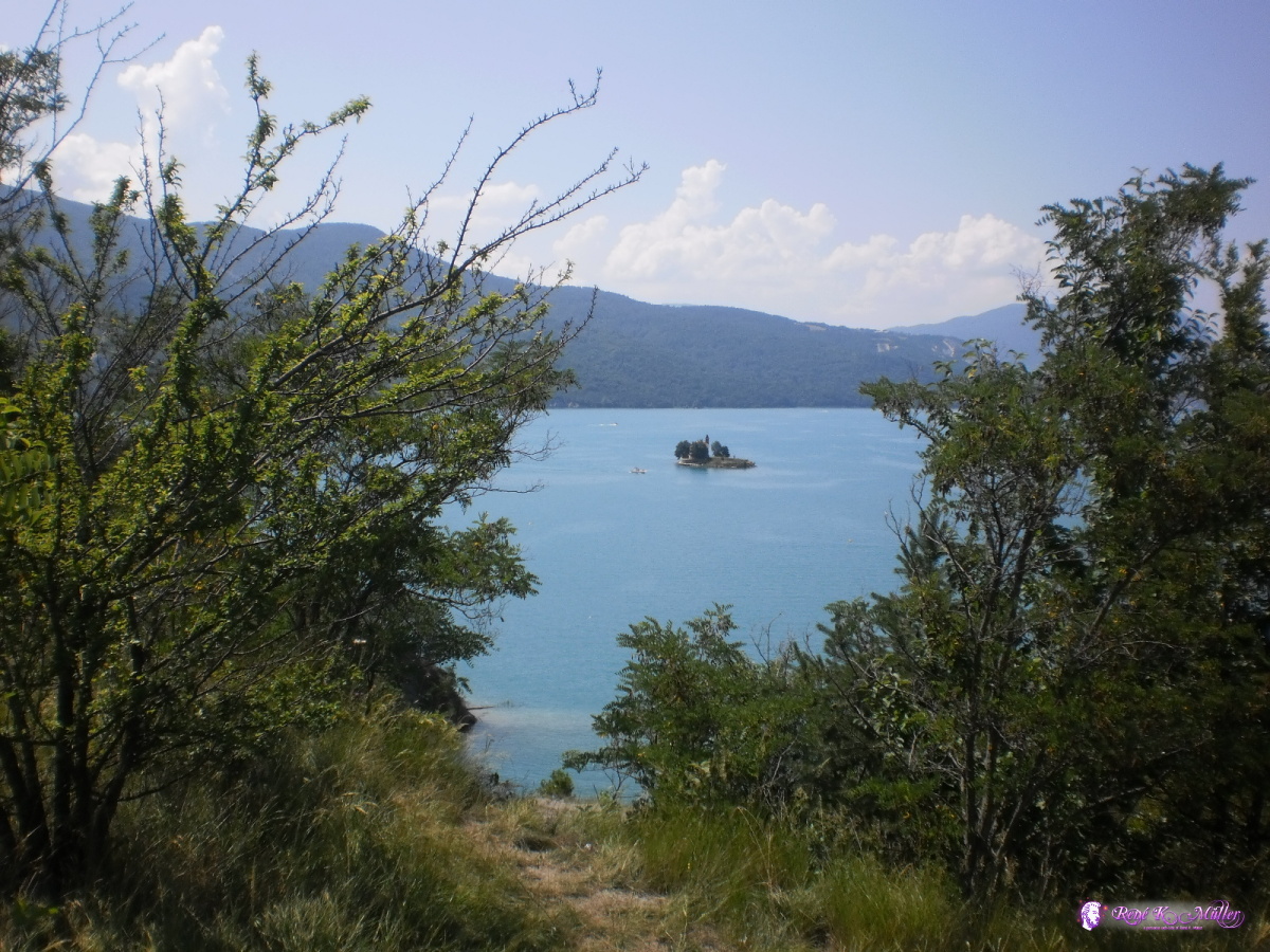 2013:07:22 11:57:44 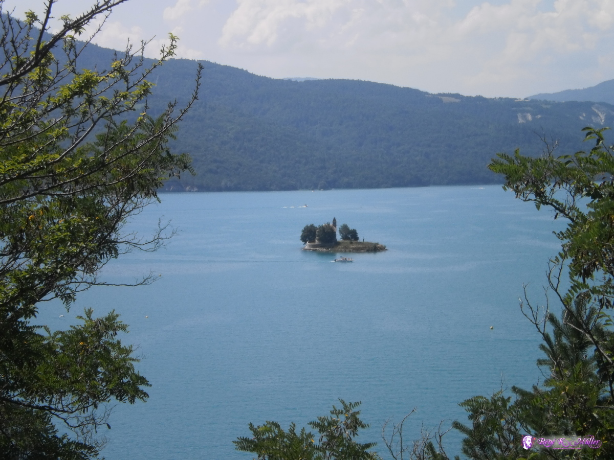 2013:07:22 11:57:57 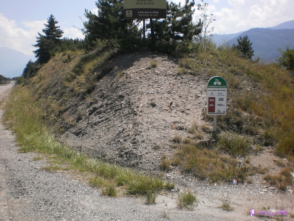 2013:07:22 12:05:07 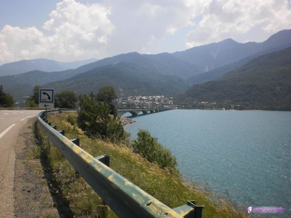 2013:07:22 13:01:33  Lac de Serre-Poncon 2013:07:22 13:01:40 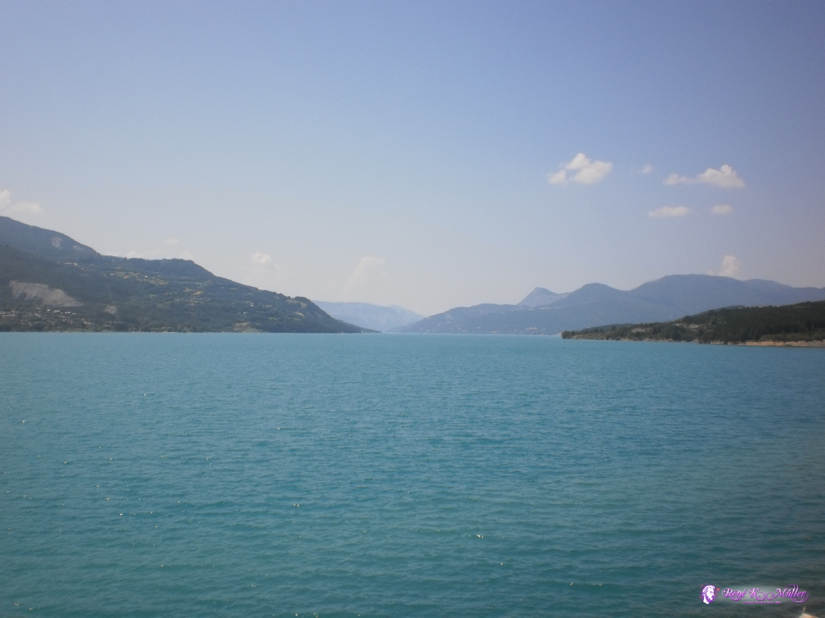 Lac de Serre-Poncon 2013:07:22 13:01:47 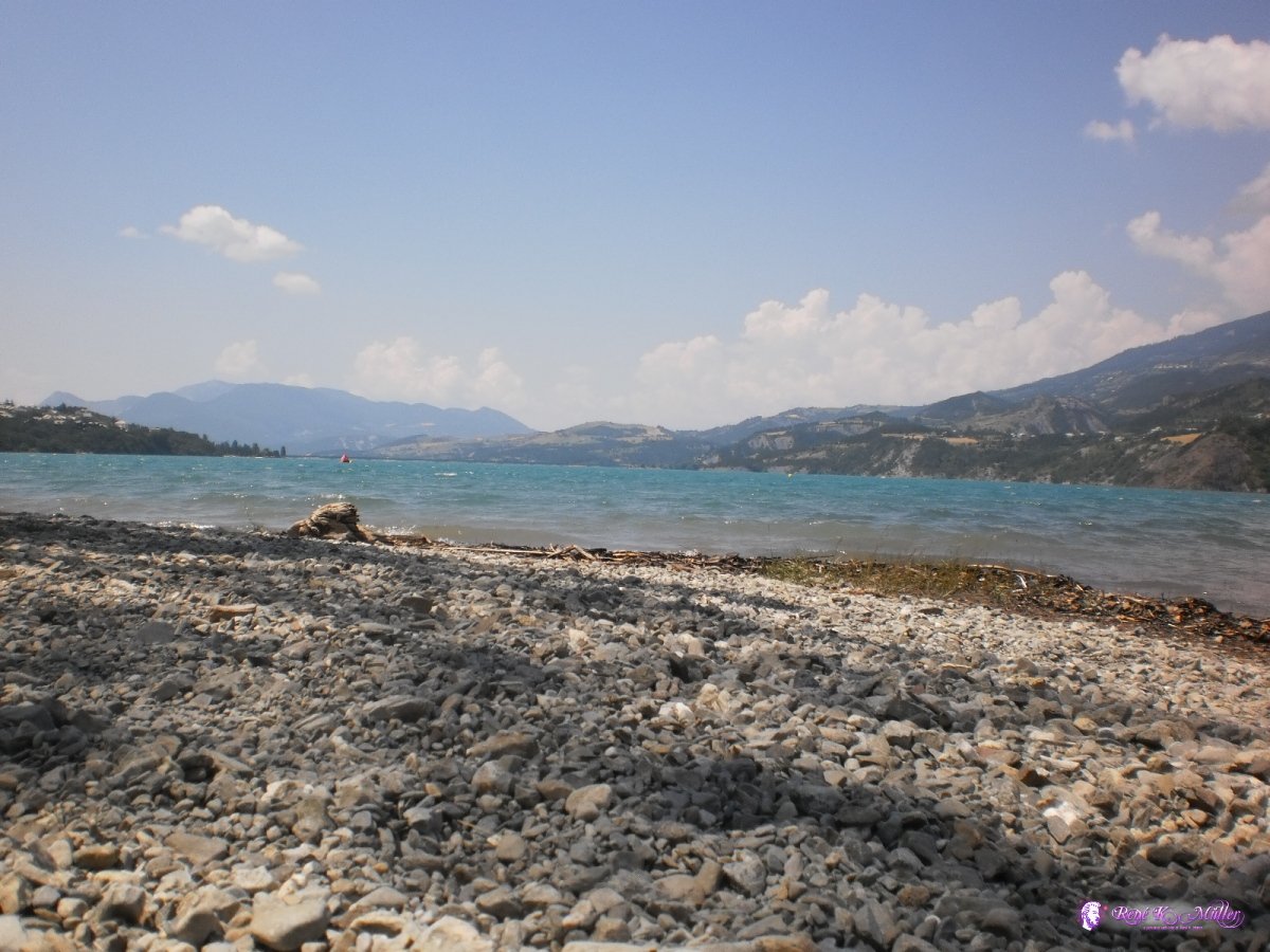 2013:07:22 13:32:02 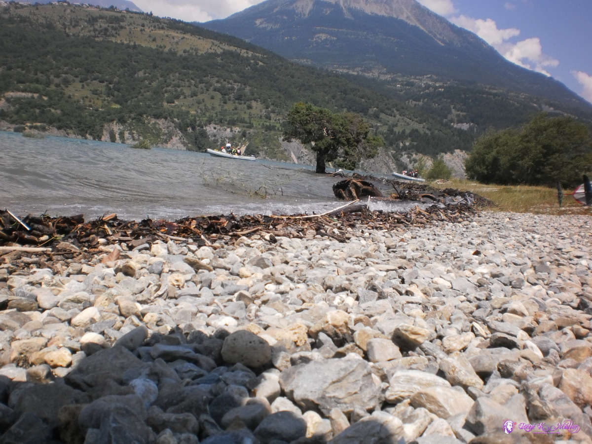 2013:07:22 13:32:15 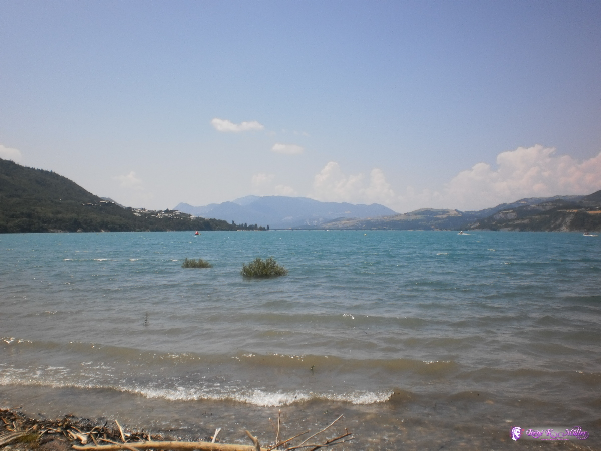 2013:07:22 13:35:13 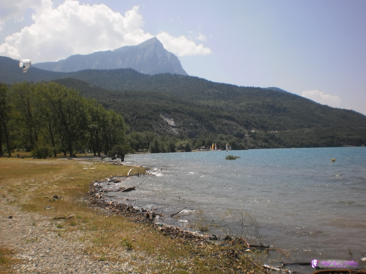 2013:07:22 13:36:39  2013:07:22 13:43:20 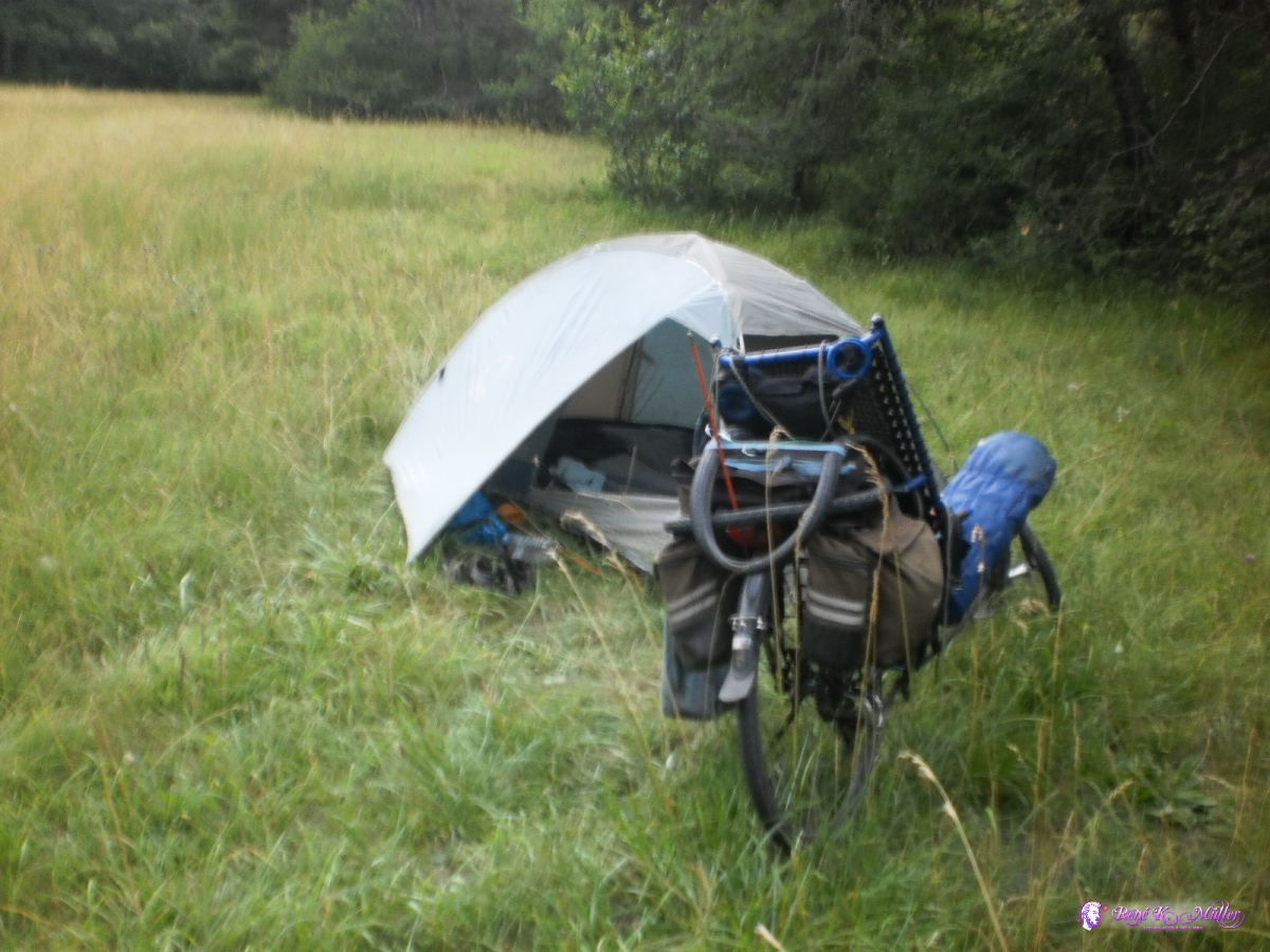 2013:07:22 17:07:50 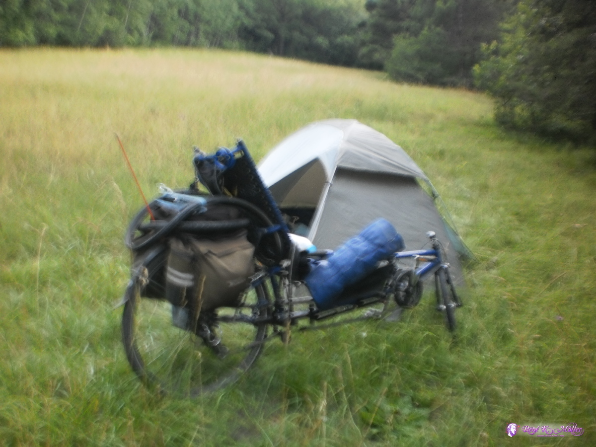 2013:07:22 17:07:57 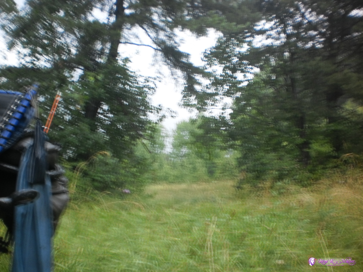 Heavy raining and thunderstorm (too blurry to see) 2013:07:22 17:16:29 July 23, 2013: Embrun - Briancon 54km (3:48) 1596kmVisiting Briancon, kind of center of this tour, as I will re-visit it later next week on the tour. 2013:07:23 11:36:09  2013:07:23 12:00:23 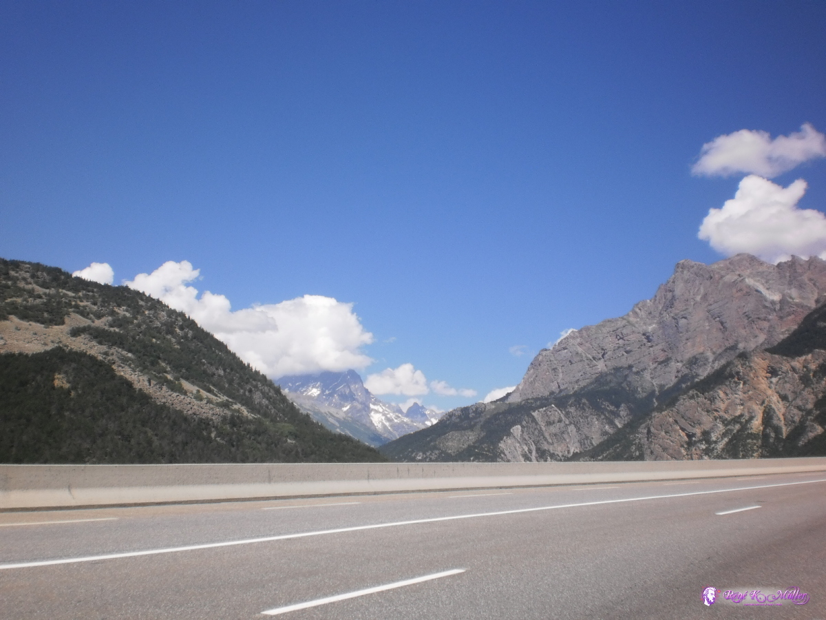 2013:07:23 12:23:49 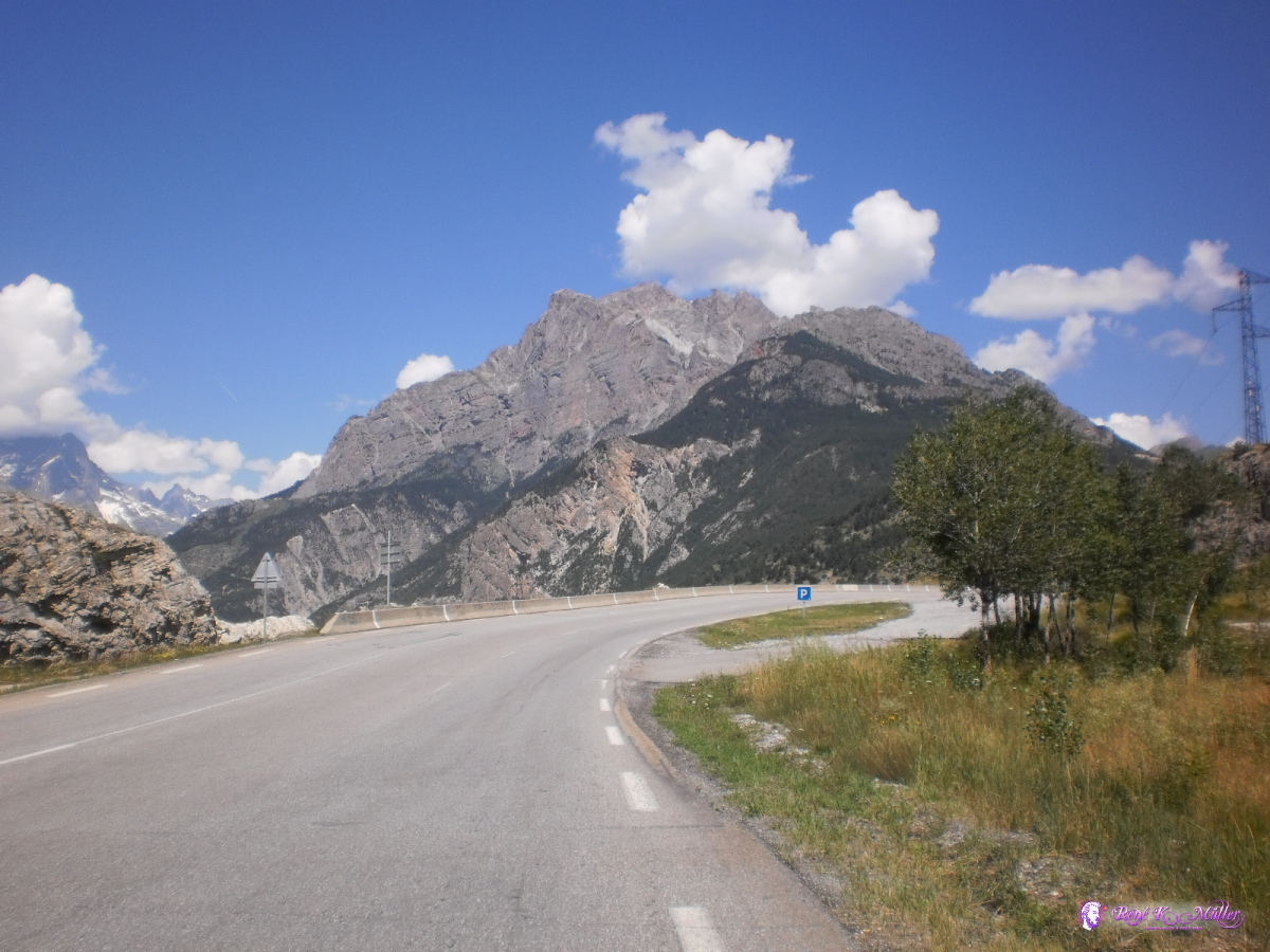 2013:07:23 12:32:12 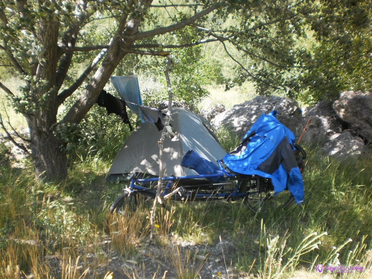 2013:07:23 14:51:02 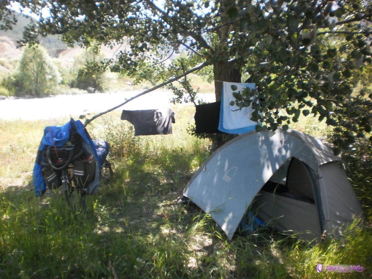 2013:07:23 14:51:18  Near Briancon, camping at Durance river 2013:07:23 14:51:27 July 24, 2013: Briancon - Col du Lautaret (2058m) 34km (3:25) 1630kmFirst serious pass of this tour, 30km steady climbing at 5%-6% from 1300m to 2083m elevation reaching Col du Lautaret , where I also stay overnight. At the evening meet an american couple and we chat until 22:00 - the rest of the night is chilly at this elevation. , where I also stay overnight. At the evening meet an american couple and we chat until 22:00 - the rest of the night is chilly at this elevation.
 2013:07:24 09:12:27 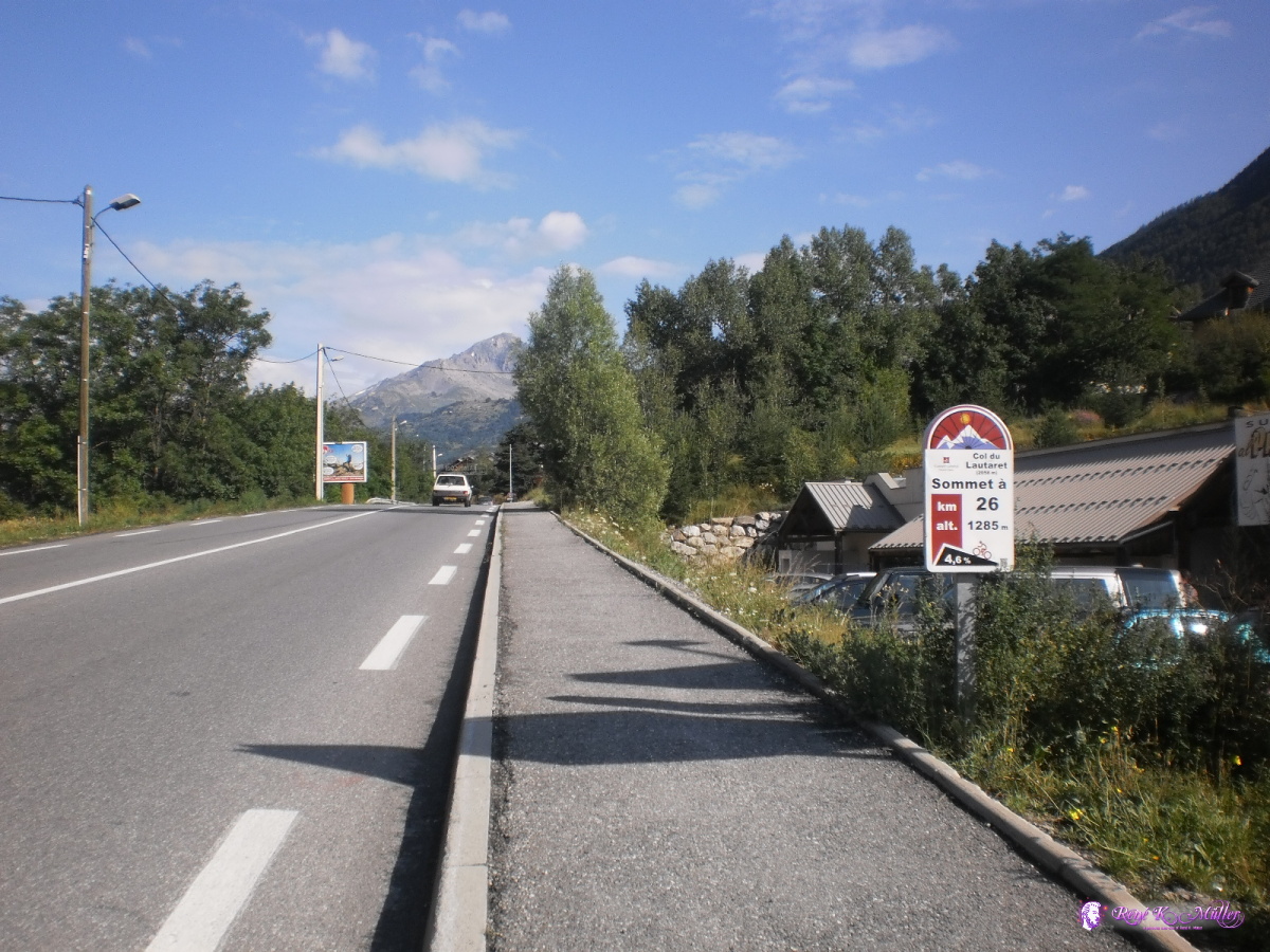 2013:07:24 09:26:44 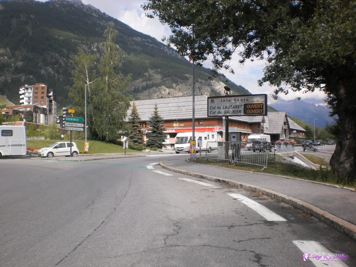 2013:07:24 09:55:35 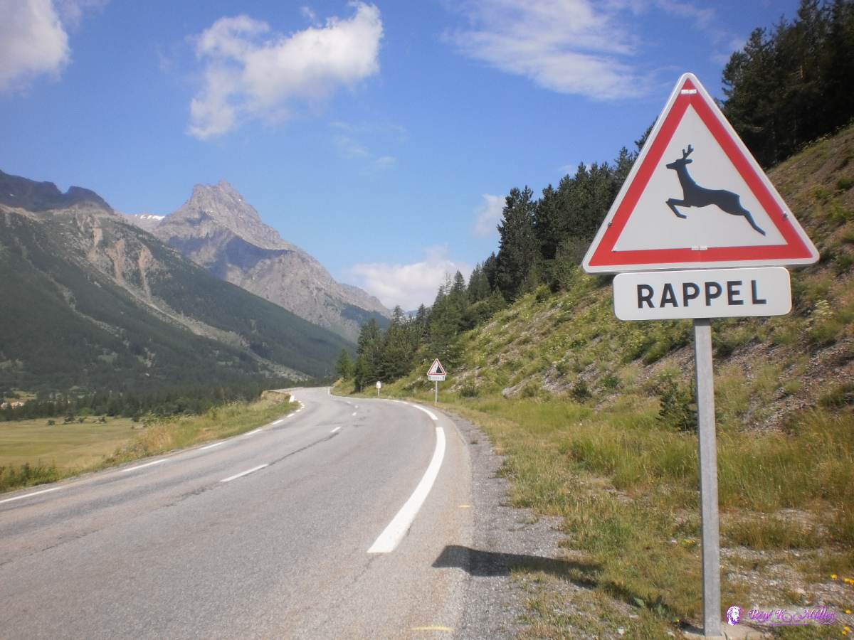 2013:07:24 10:33:08  2013:07:24 10:33:14 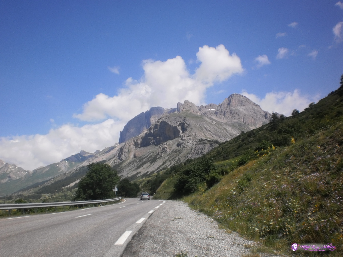 2013:07:24 10:58:15 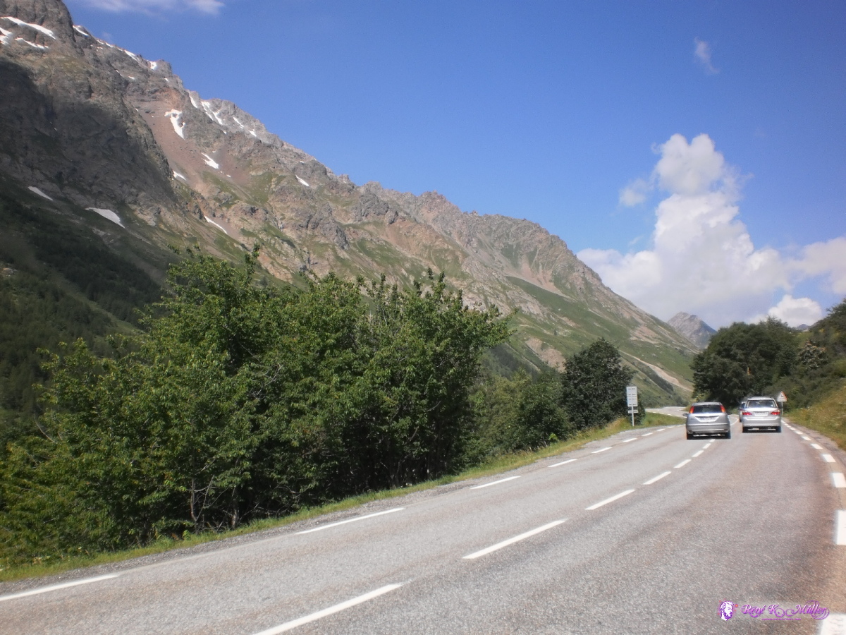 2013:07:24 11:13:10  2013:07:24 11:13:15 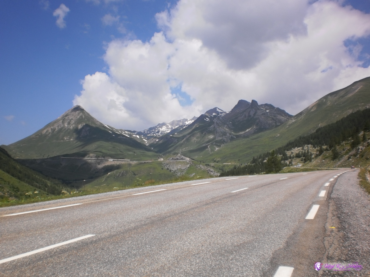 2013:07:24 11:37:53 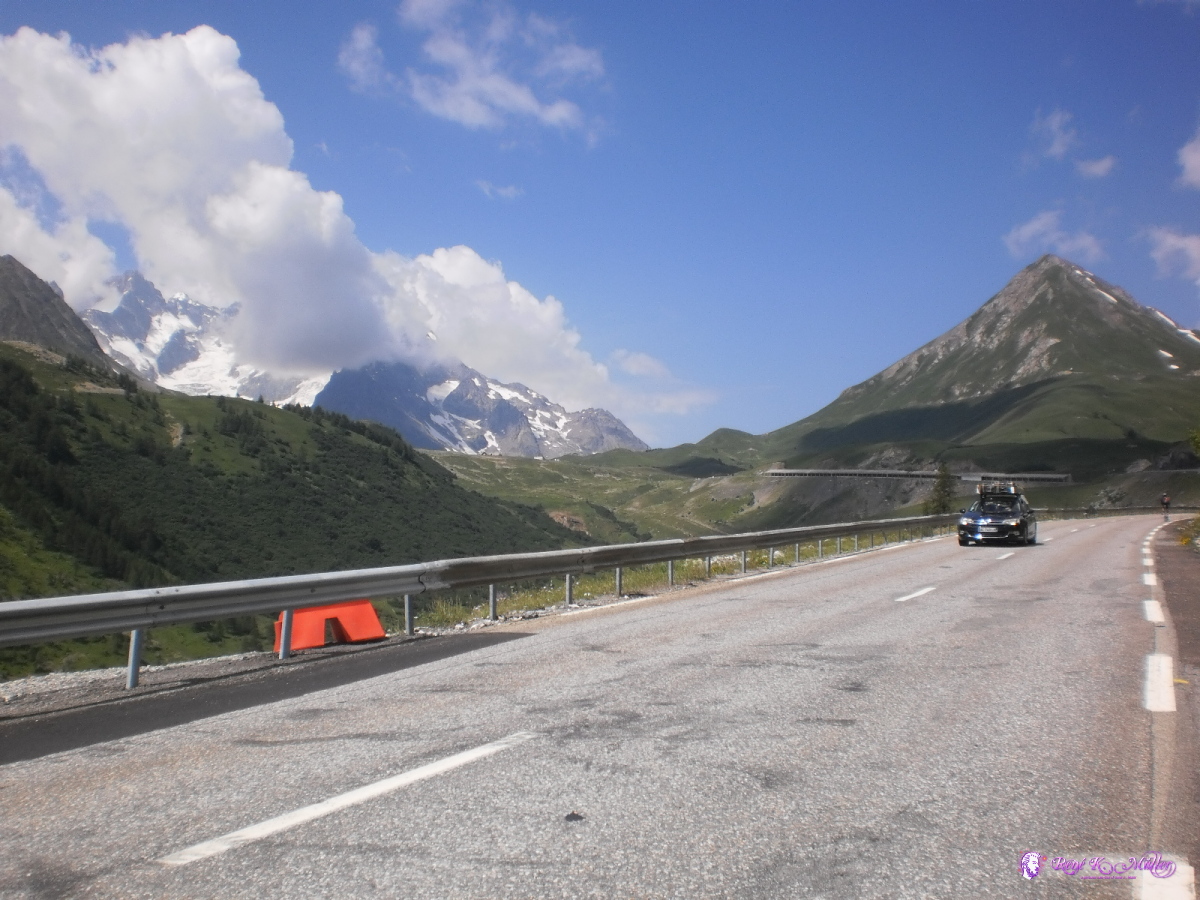 2013:07:24 11:47:19  2013:07:24 11:53:18  2013:07:24 11:56:29  Reached Col du Lautaret 2013:07:24 12:19:40  2013:07:24 12:55:13  2013:07:24 12:55:21 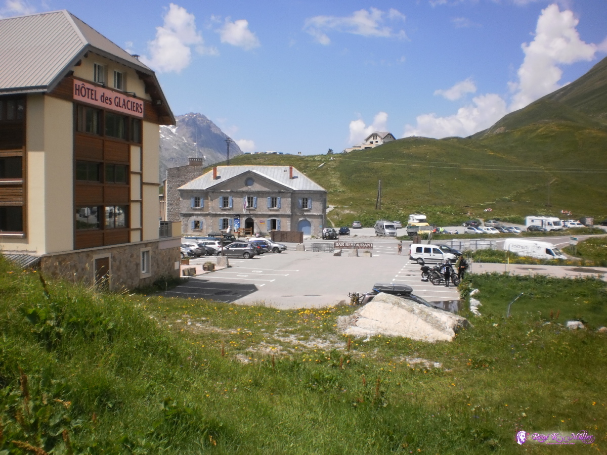 2013:07:24 12:55:32 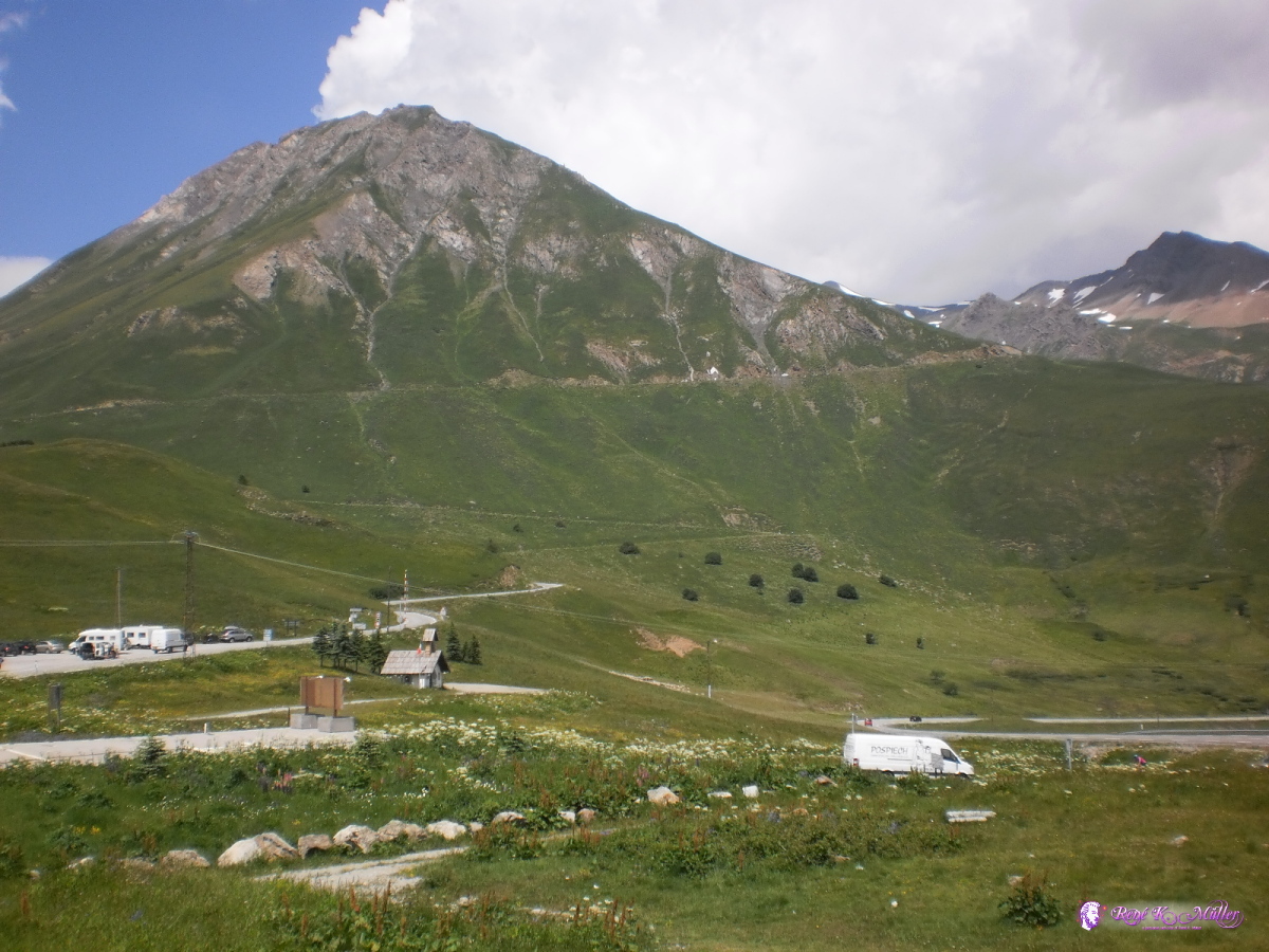 2013:07:24 12:55:38  2013:07:24 13:01:30 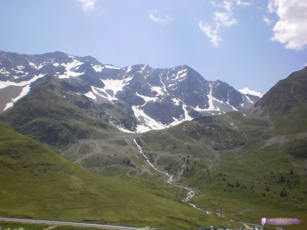 2013:07:24 13:14:07 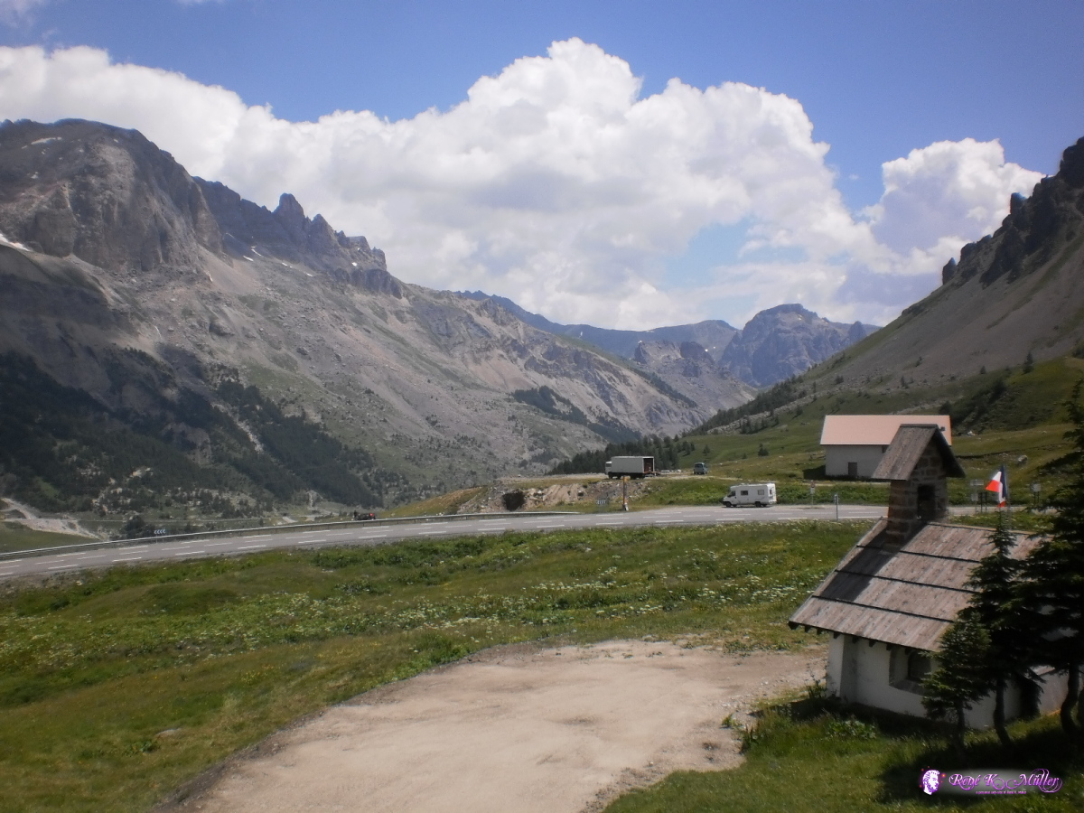 2013:07:24 13:21:06  2013:07:24 14:01:18  2013:07:24 15:15:12  2013:07:24 16:07:20  2013:07:24 16:07:25 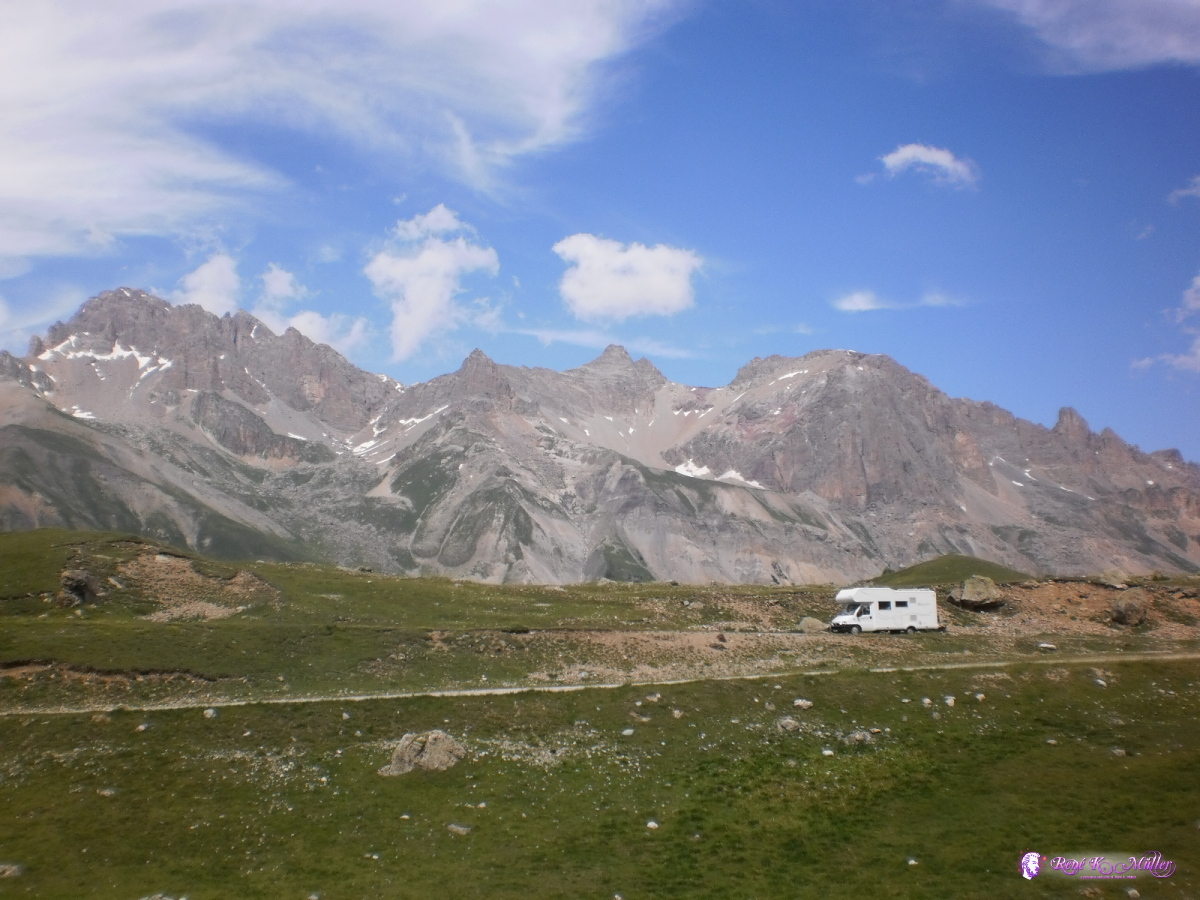 2013:07:24 16:07:29 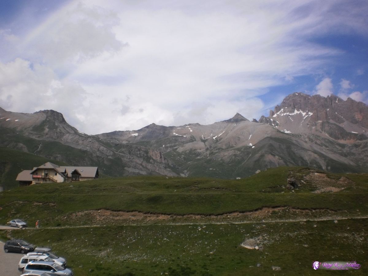 2013:07:24 16:07:33 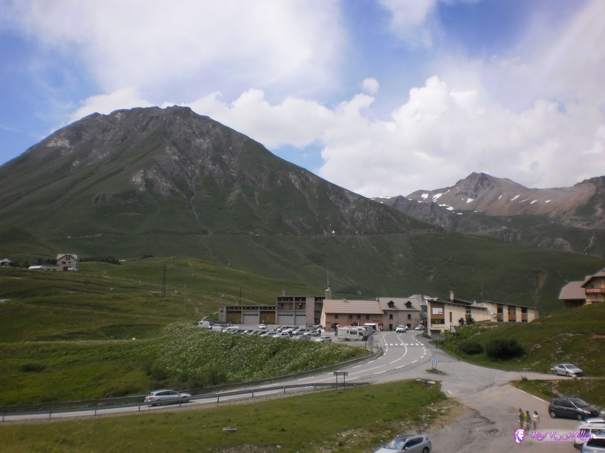 2013:07:24 16:07:37 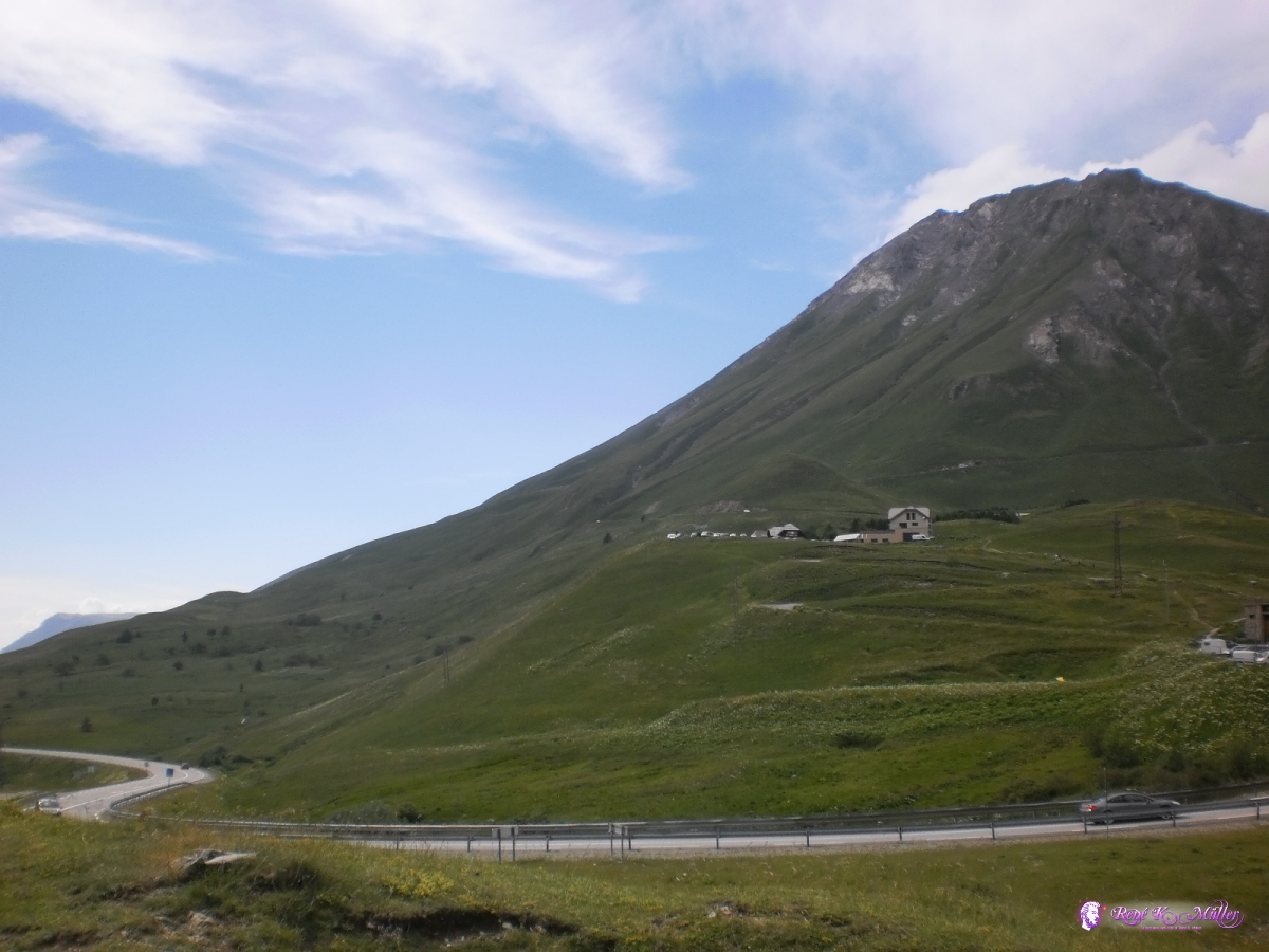 2013:07:24 16:07:41 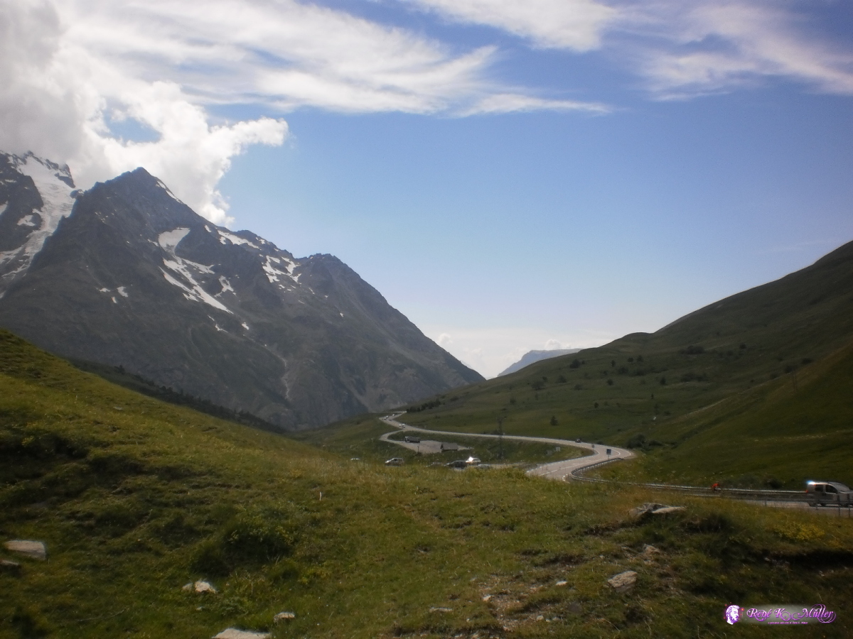 2013:07:24 16:07:46 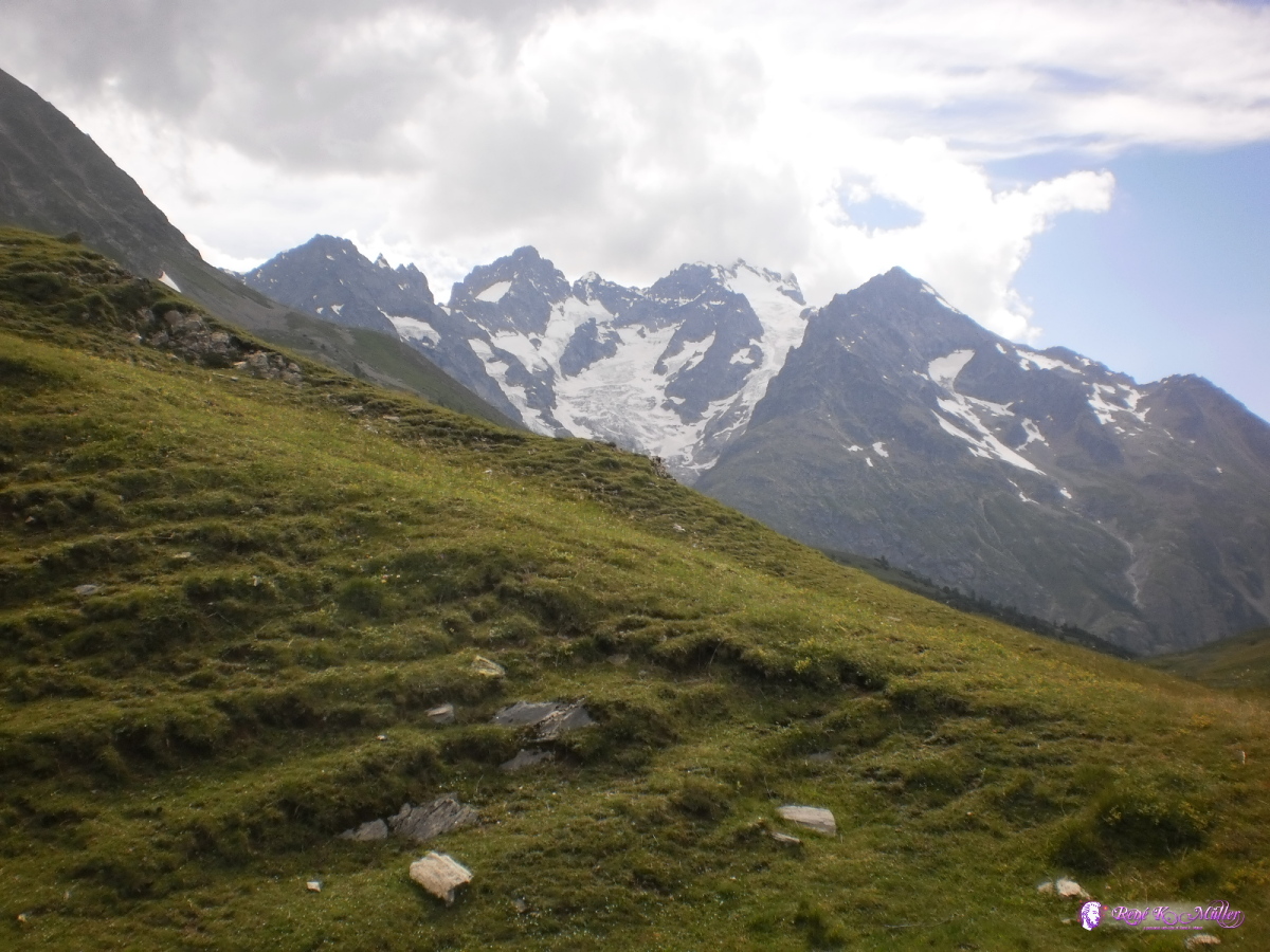 2013:07:24 16:07:52  2013:07:24 16:07:57 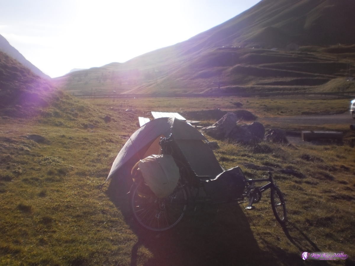 2013:07:24 19:29:53 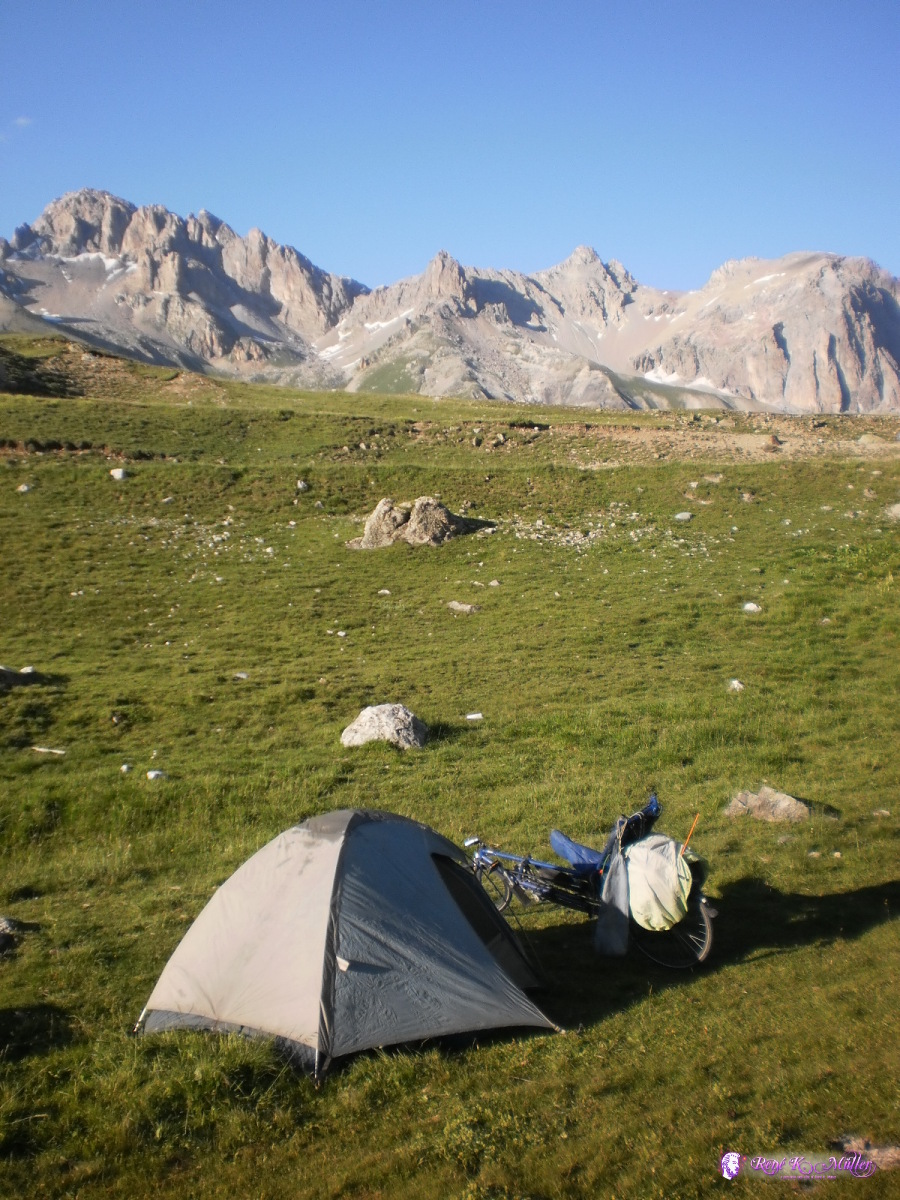 2013:07:24 19:30:23  Col de Lautaret (2058m) 2013:07:24 19:30:31 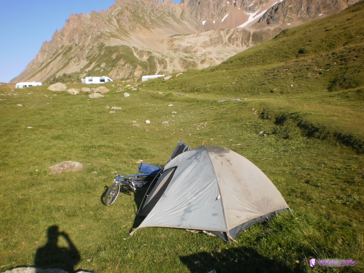 2013:07:24 19:31:04 July 25, 2013: Col du Lautaret - Col du Galibier (2642m) - Col du Telegraph - St. Maurice de Maurienne 50km (4:08) 1680kmFrom Col du Lautaret up to Col du Galabier, 600m up around 9km up to the pass; and the last 1km is really steep at 10%-12%. Once reaching the top, 30-40 cyclist reside there, either from the southern side like me or from the northern side (Valloire).
After a while and also take my own photo  I start to ride downhill, and it's so steep I stay on my brakes all the time, and after 4km my front wheel has heated up so much, that my inflate get 3-4 holes and big tear and the air exits within apprx. 3 seconds and I still managed to stop the recument before the tire went off the wheel (quite dangerous situation). I replaced the inflate, and after that I continued 1-2km downhill with brakes on and then stopped 5mins to cool off the wheels and continue.
A strange situation: the steeper downhill and slower I had to go. I realized if I intensively ride passes downhill I need disk brakes, a must. So either upgrade or a new recumbent altogether with full suspension. I start to ride downhill, and it's so steep I stay on my brakes all the time, and after 4km my front wheel has heated up so much, that my inflate get 3-4 holes and big tear and the air exits within apprx. 3 seconds and I still managed to stop the recument before the tire went off the wheel (quite dangerous situation). I replaced the inflate, and after that I continued 1-2km downhill with brakes on and then stopped 5mins to cool off the wheels and continue.
A strange situation: the steeper downhill and slower I had to go. I realized if I intensively ride passes downhill I need disk brakes, a must. So either upgrade or a new recumbent altogether with full suspension.
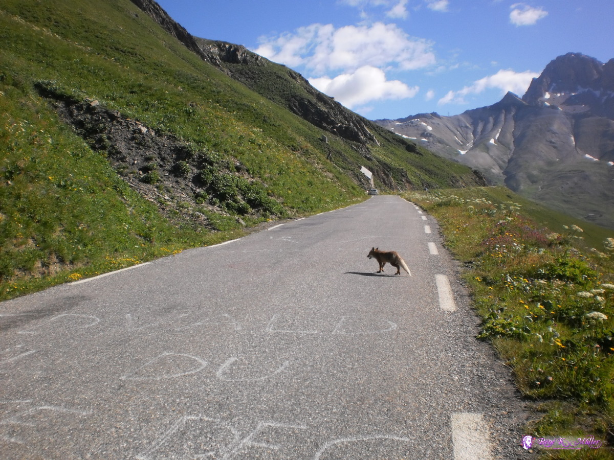 Fox walking slowly over the street 2013:07:25 09:50:11 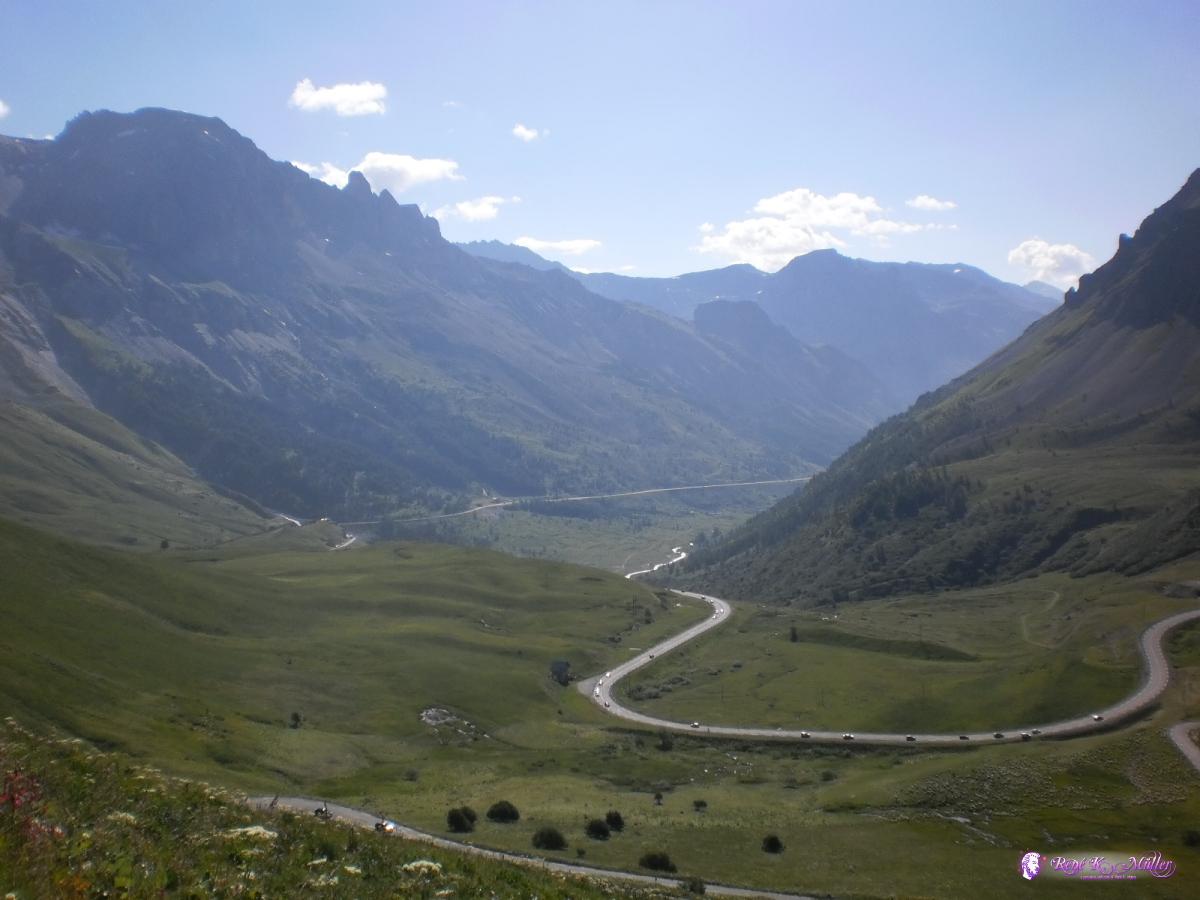 2013:07:25 09:50:17 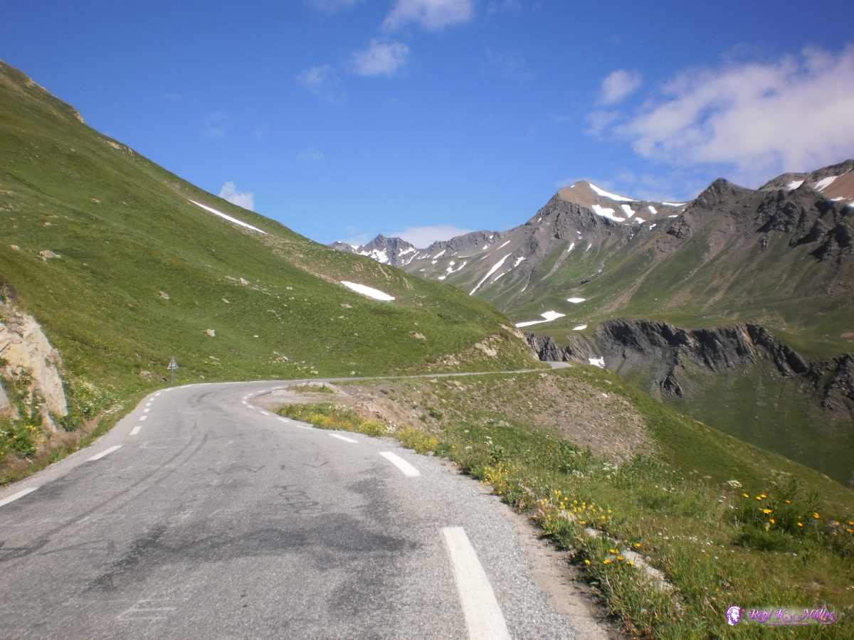 2013:07:25 09:56:42 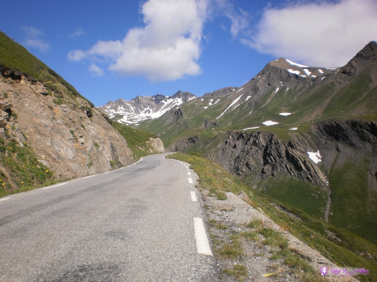 2013:07:25 10:01:43  2013:07:25 10:04:56 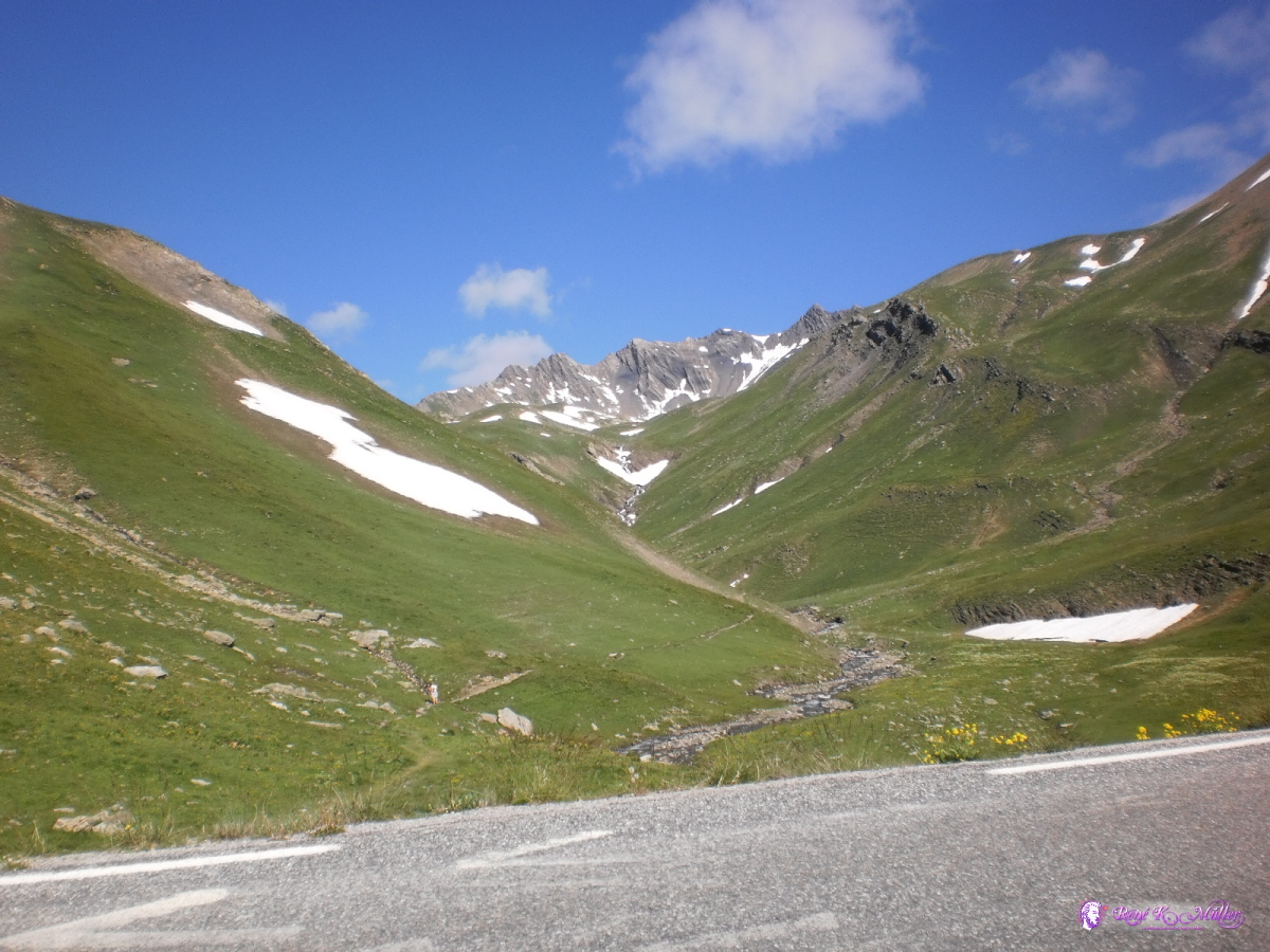 2013:07:25 10:13:24 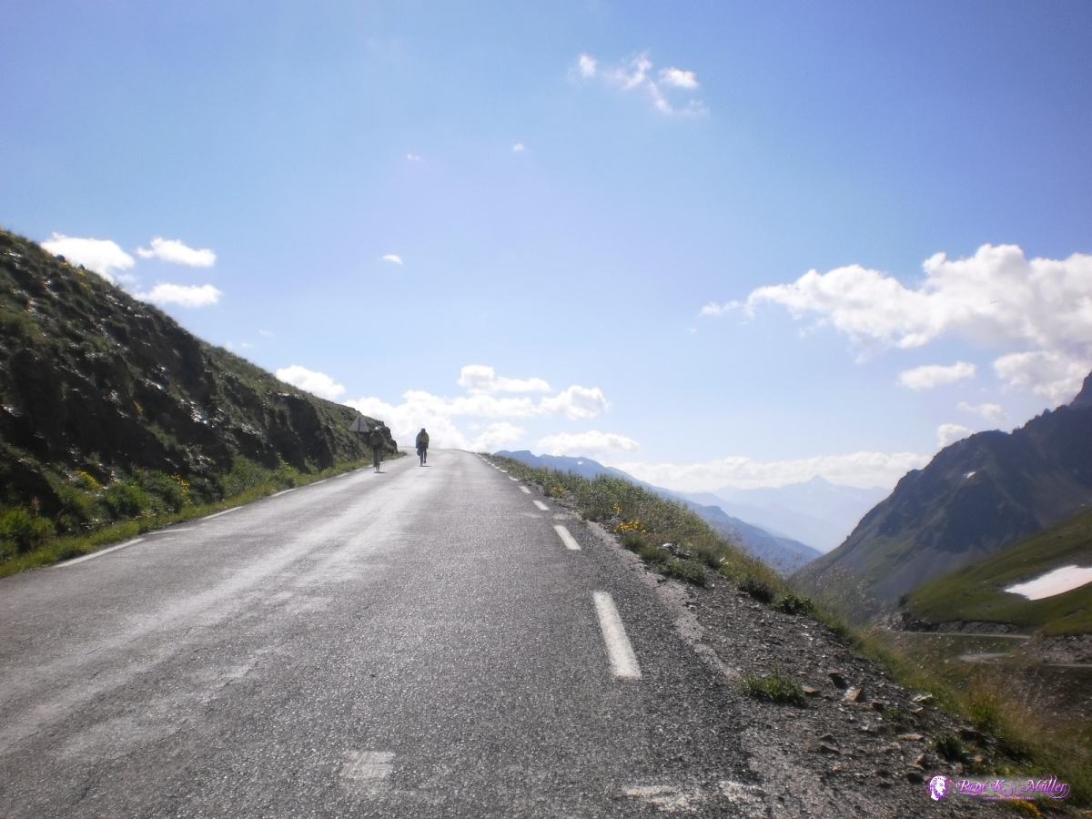 2013:07:25 10:14:59 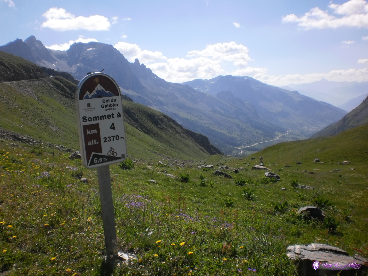 2013:07:25 10:19:04 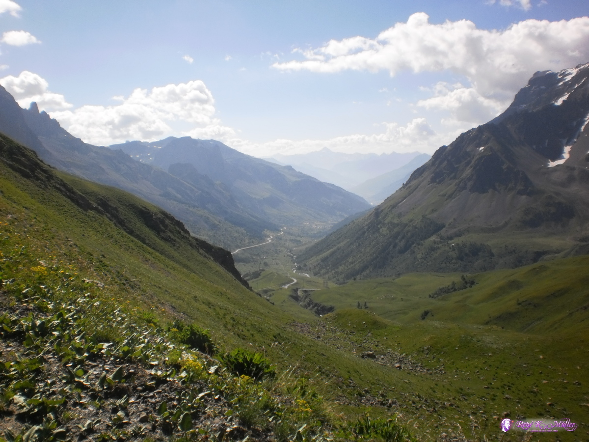 2013:07:25 10:20:57 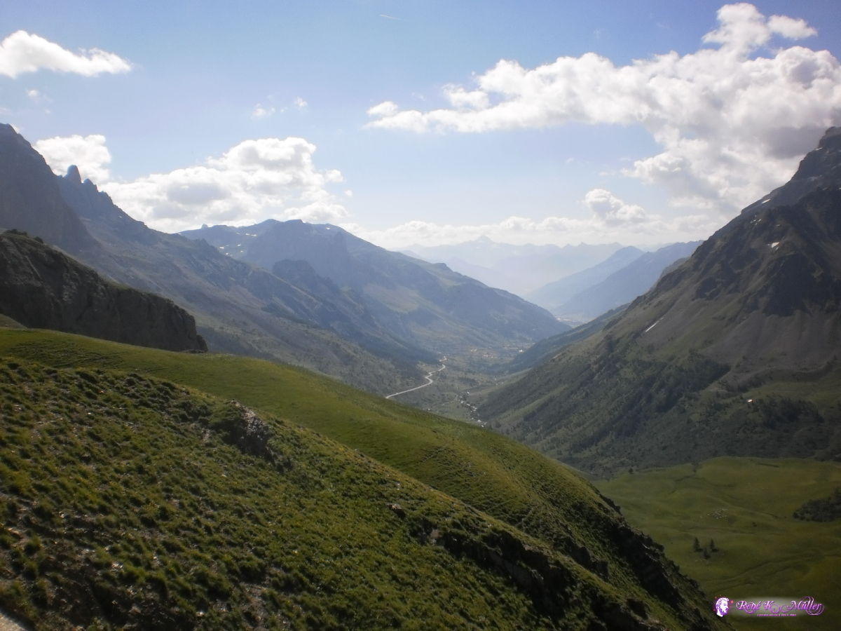 2013:07:25 10:25:17 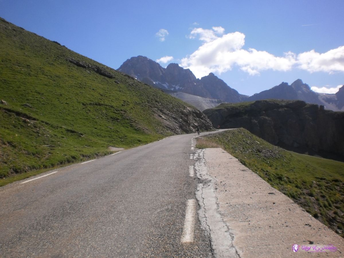 2013:07:25 10:25:22 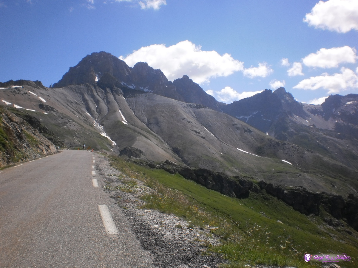 2013:07:25 10:29:59 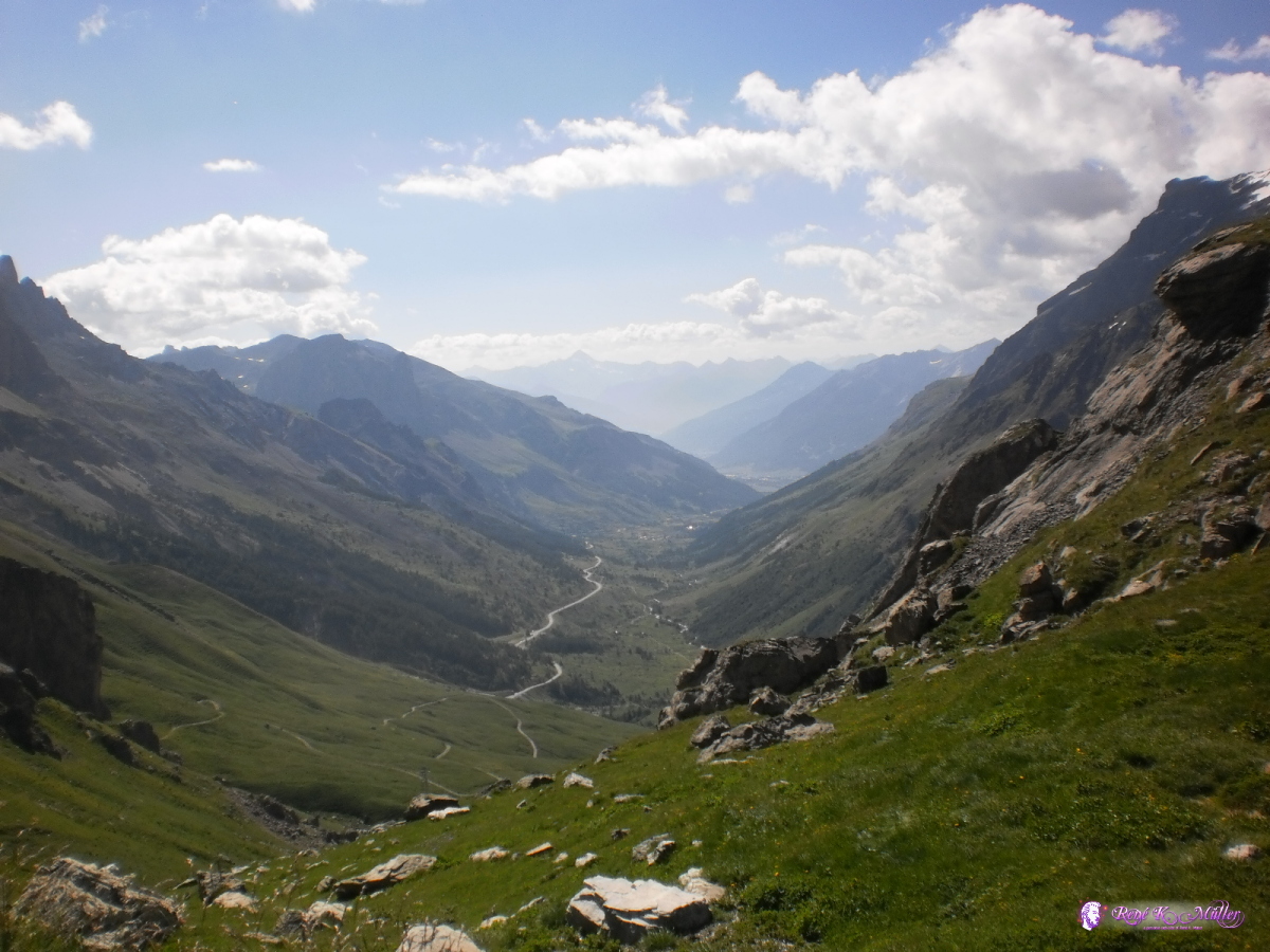 2013:07:25 10:30:04 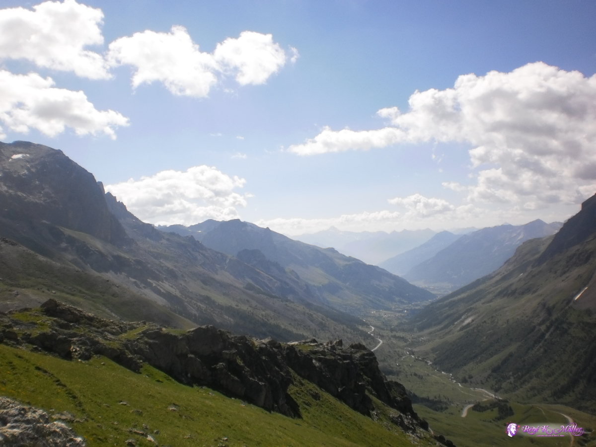 2013:07:25 10:32:48  2013:07:25 10:33:46 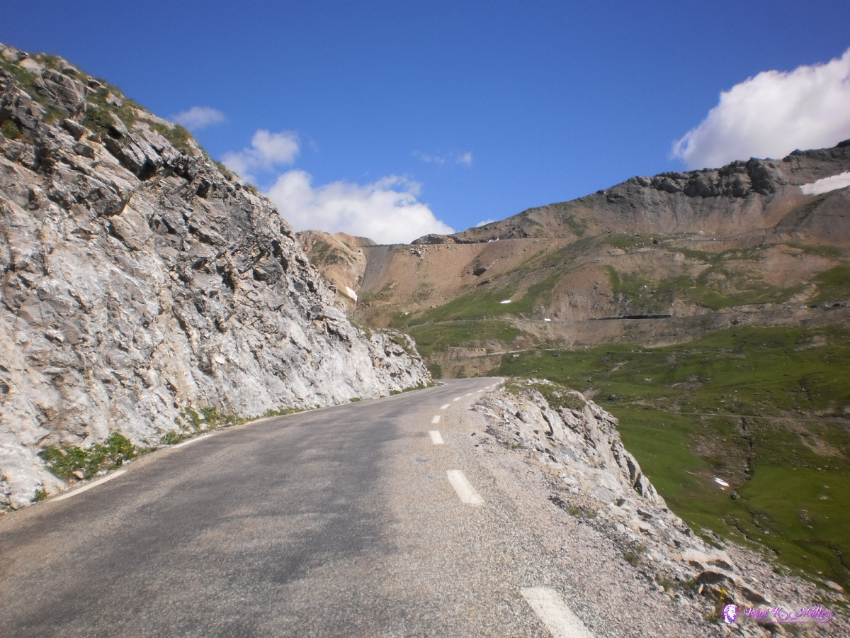 2013:07:25 10:34:35 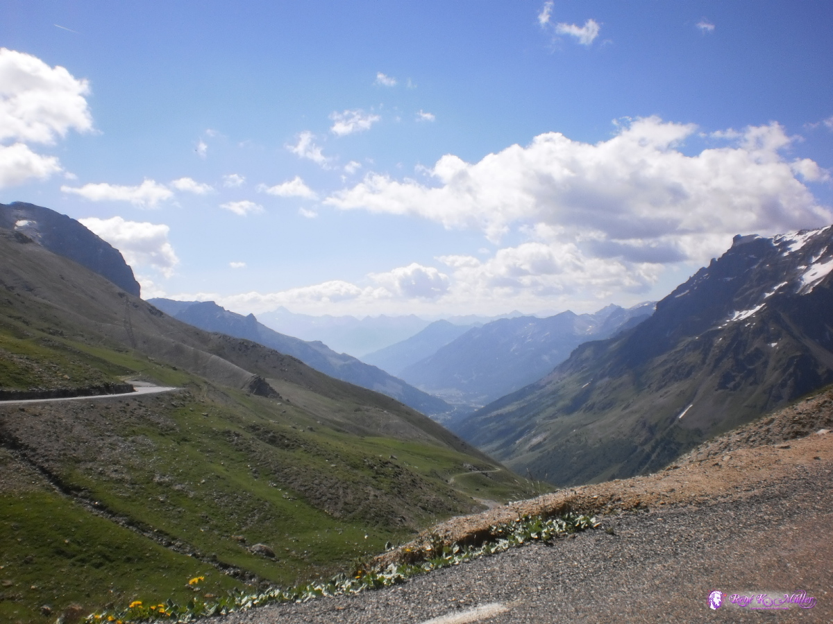 2013:07:25 10:49:55 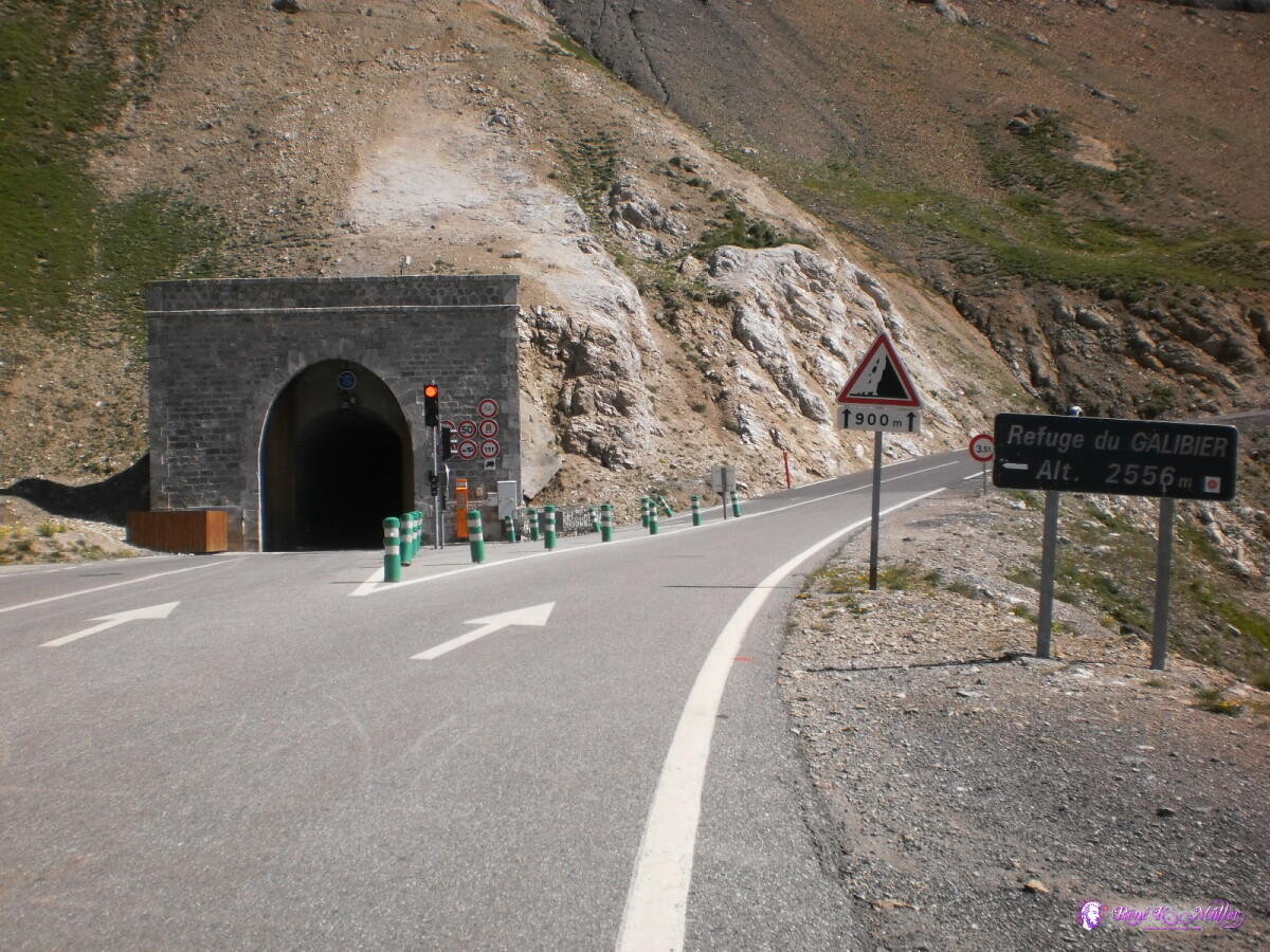 2013:07:25 10:53:04  Reached Col du Galibier 2013:07:25 11:09:56 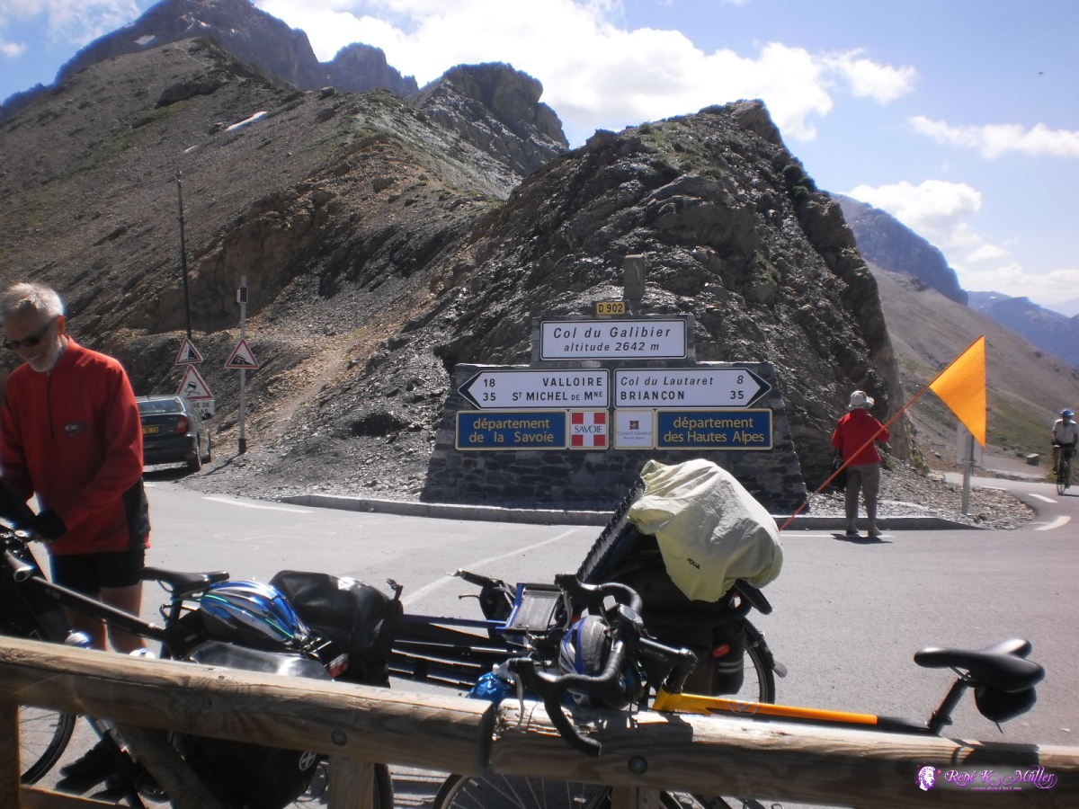 2013:07:25 11:12:47  2013:07:25 11:15:17  Col du Galibier (2642m) 2013:07:25 11:43:30 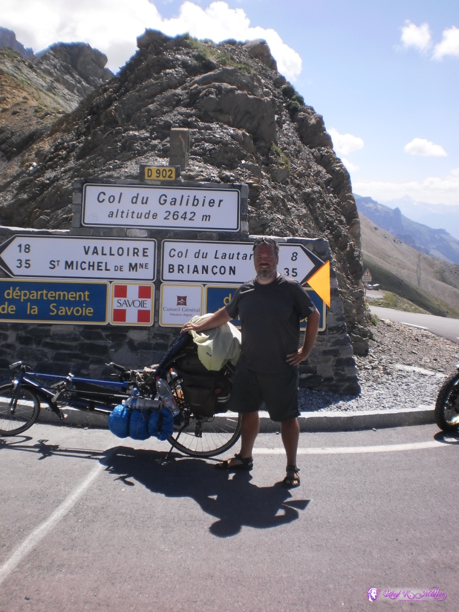 2013:07:25 11:43:36 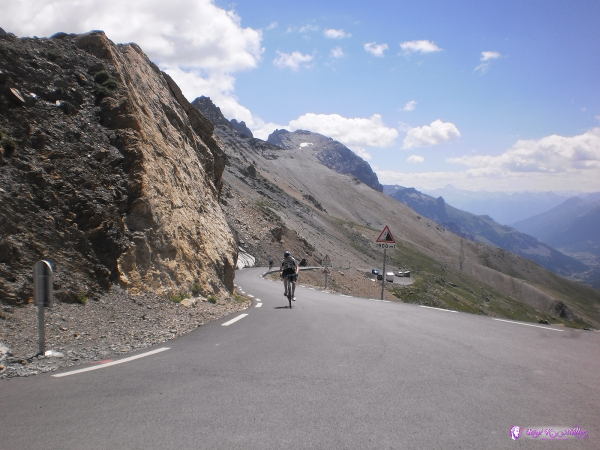 Col du Galibier, looking south 2013:07:25 12:04:16 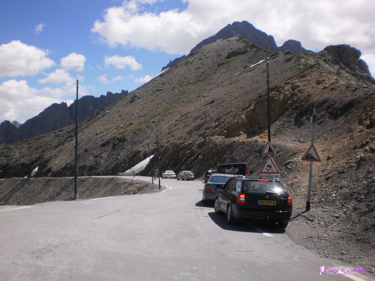 Col du Galibier, looking north 2013:07:25 12:04:32  Small place were all the cyclist gather before descending toward north or south 2013:07:25 12:05:19  2013:07:25 12:07:04 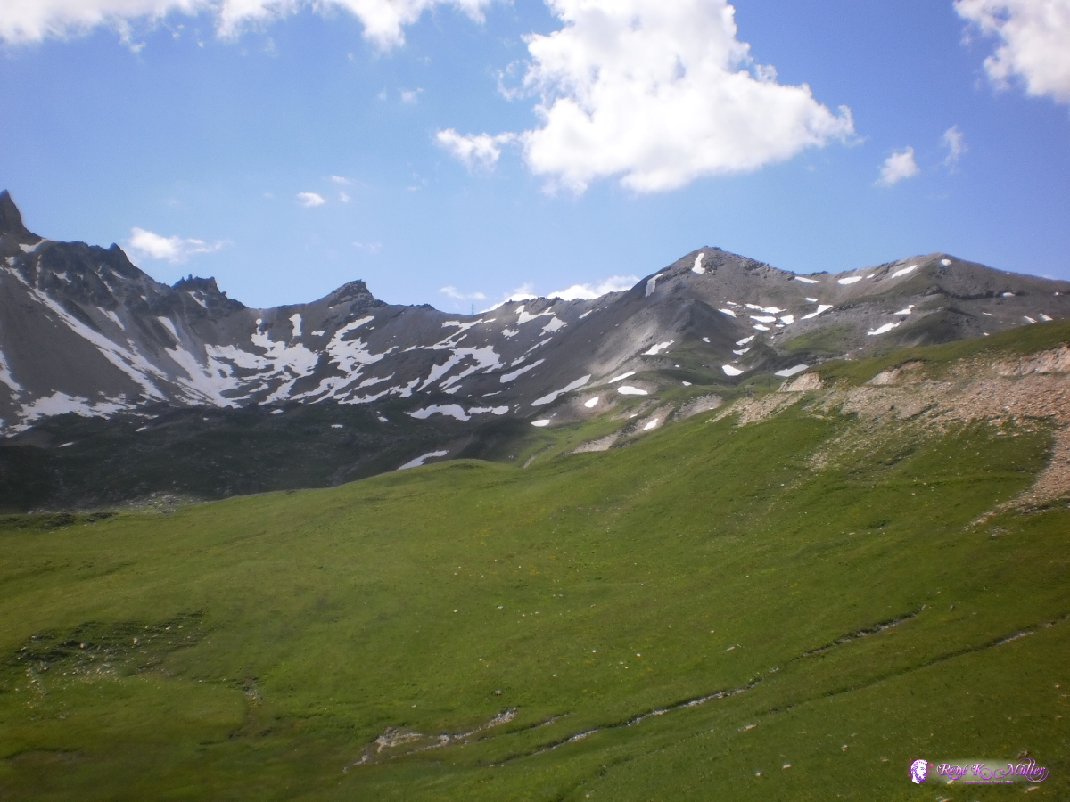 2013:07:25 12:17:39 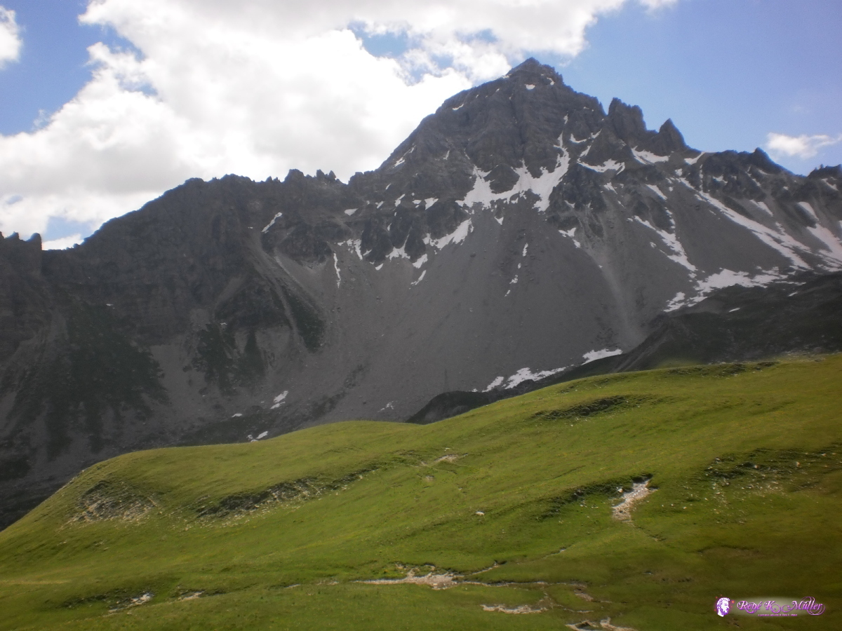 2013:07:25 12:17:45 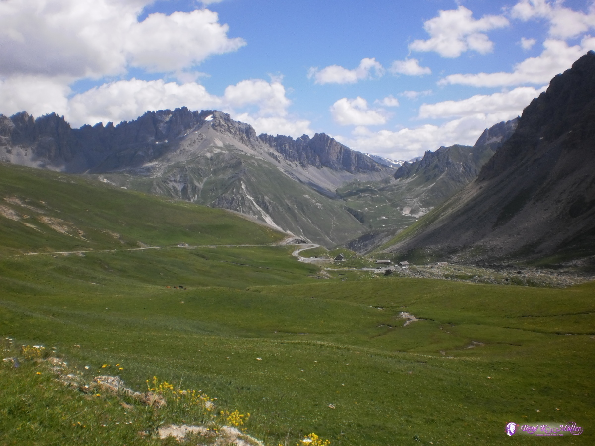 2013:07:25 12:17:49  2013:07:25 12:17:54  2013:07:25 13:38:49 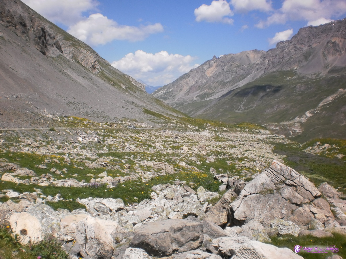 2013:07:25 13:38:55 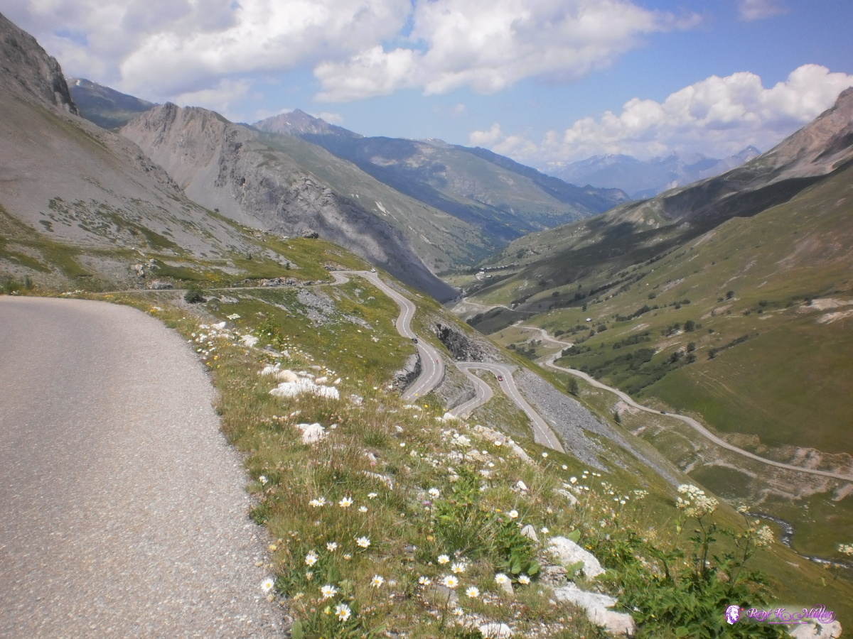 Steep downhill from Col du Galibier 2013:07:25 13:53:08 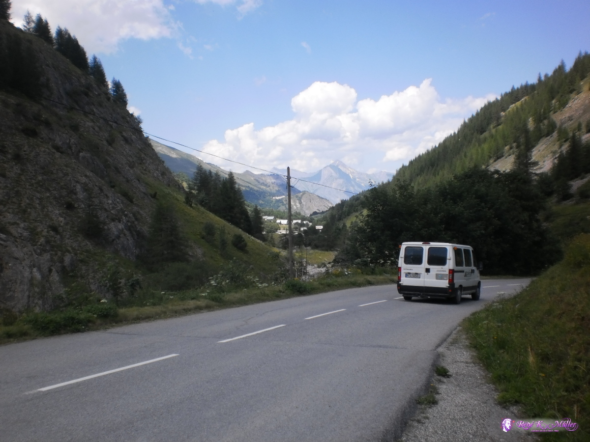 2013:07:25 14:34:34 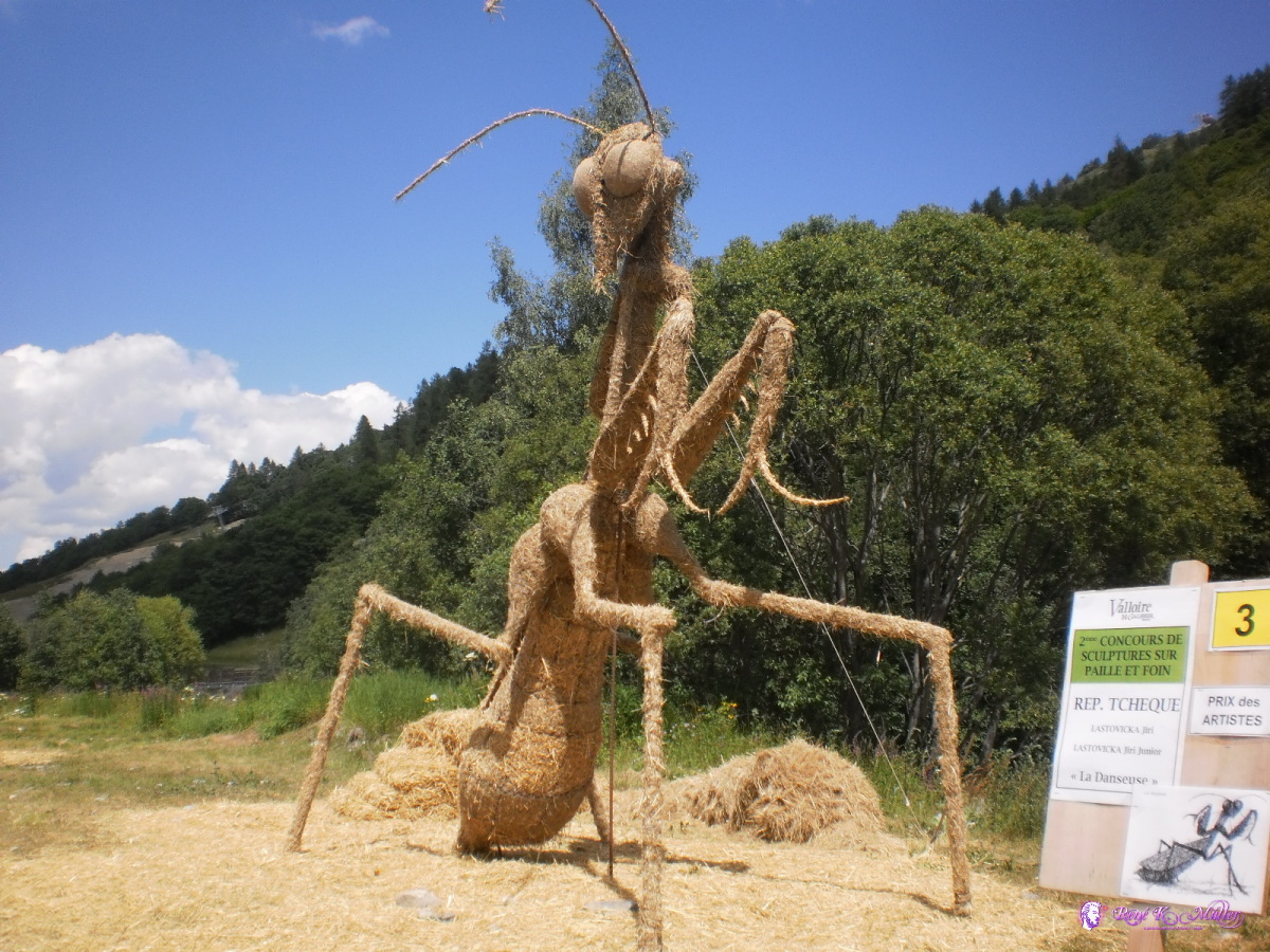 2013:07:25 14:49:15 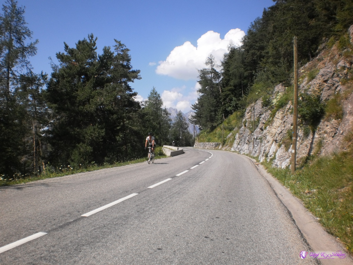 2013:07:25 15:40:22 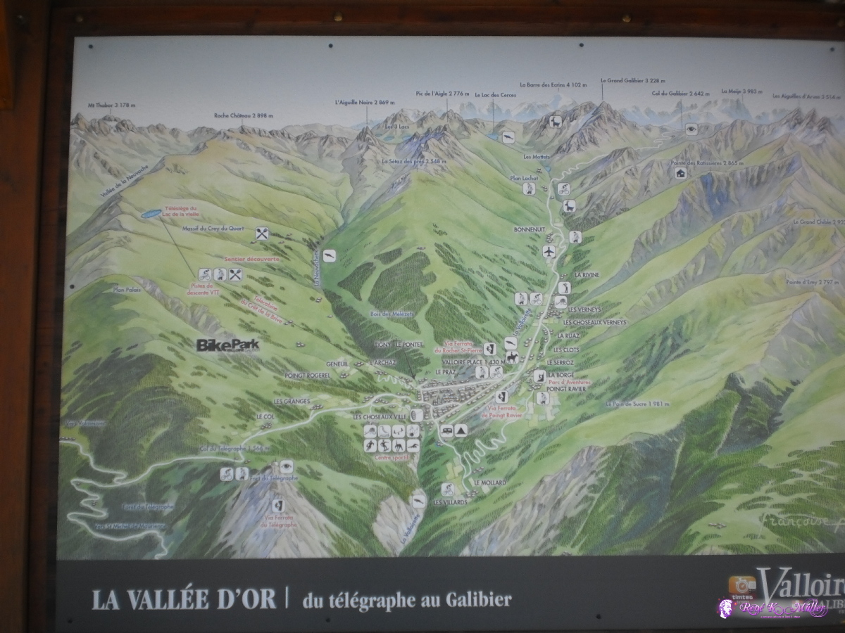 2013:07:25 15:44:45 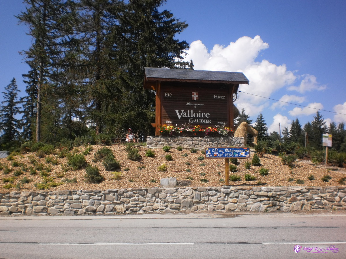 Col du Telegraph 2013:07:25 15:45:41 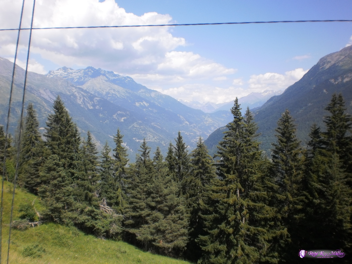 2013:07:25 15:47:00 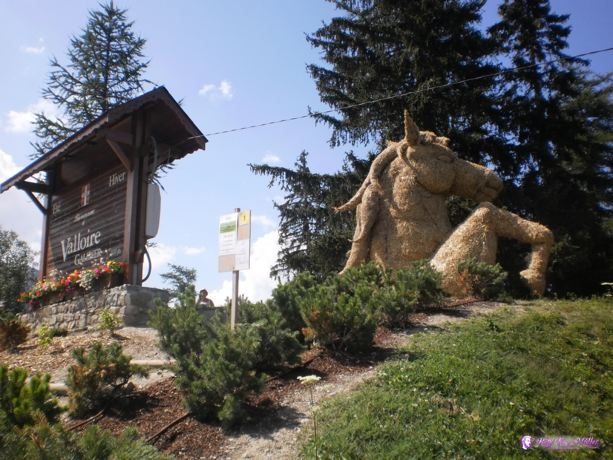 2013:07:25 15:47:22 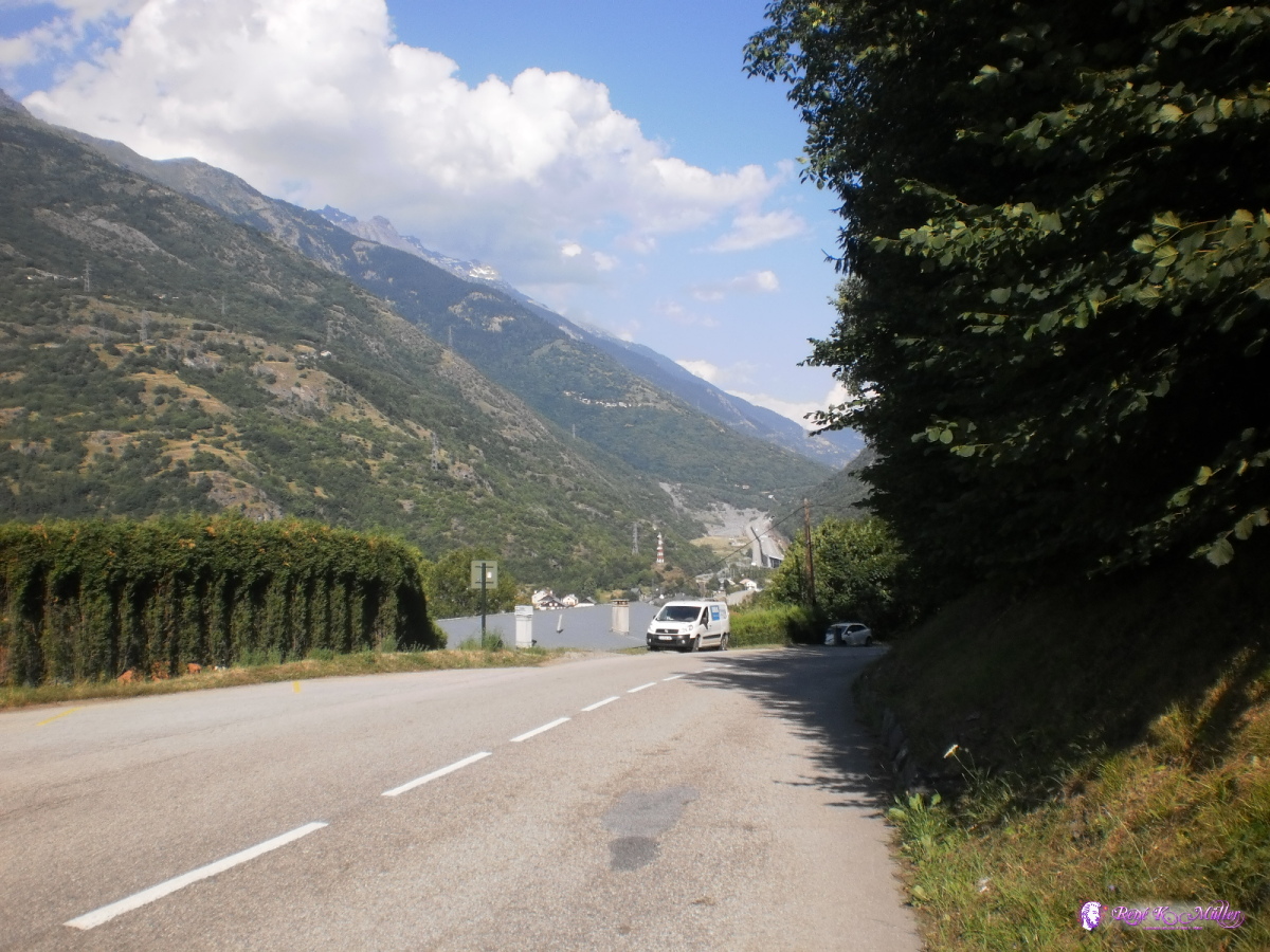 Reaching bottom of valley, apprx. 1600m descended 2013:07:25 17:35:01  2013:07:25 19:12:46  2013:07:25 19:12:57  2013:07:25 19:13:08 July 26, 2013: St. Maurice de Maurienne - Col du Mont Cenis (2083m) 53km (5:35) 1732kmOnce I reached the bottom of the valley I continued Modane (1080m), Bramans (1260m), Termignon (1290m) and then short steep passage, and slight decend before reaching Lanslebourg Mont Cenis (1400m) and then climbing at 5%-8% up to Col du Mont Cenis (2083m) where dark clouds, chilly temperatures and slight rain awaited me.
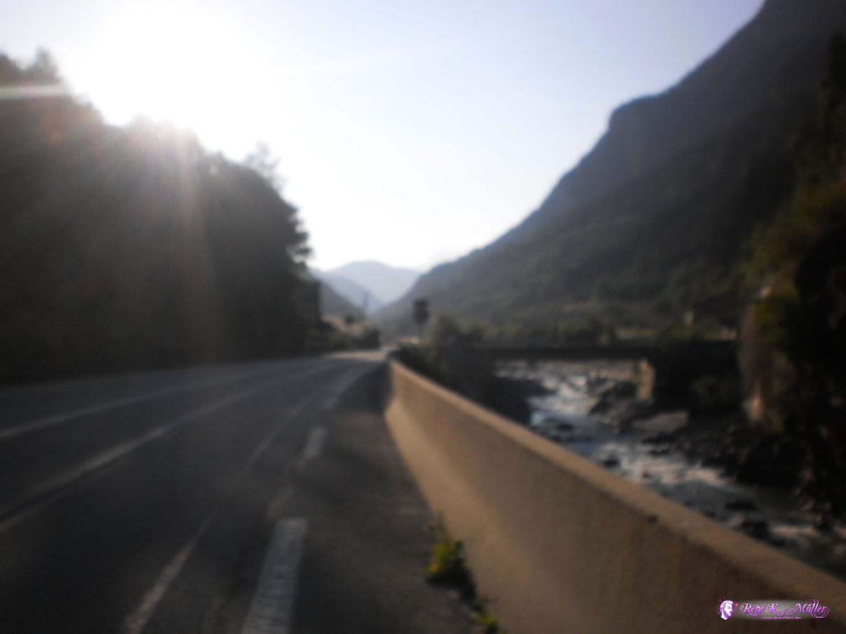 2013:07:26 07:52:49  2013:07:26 10:00:16 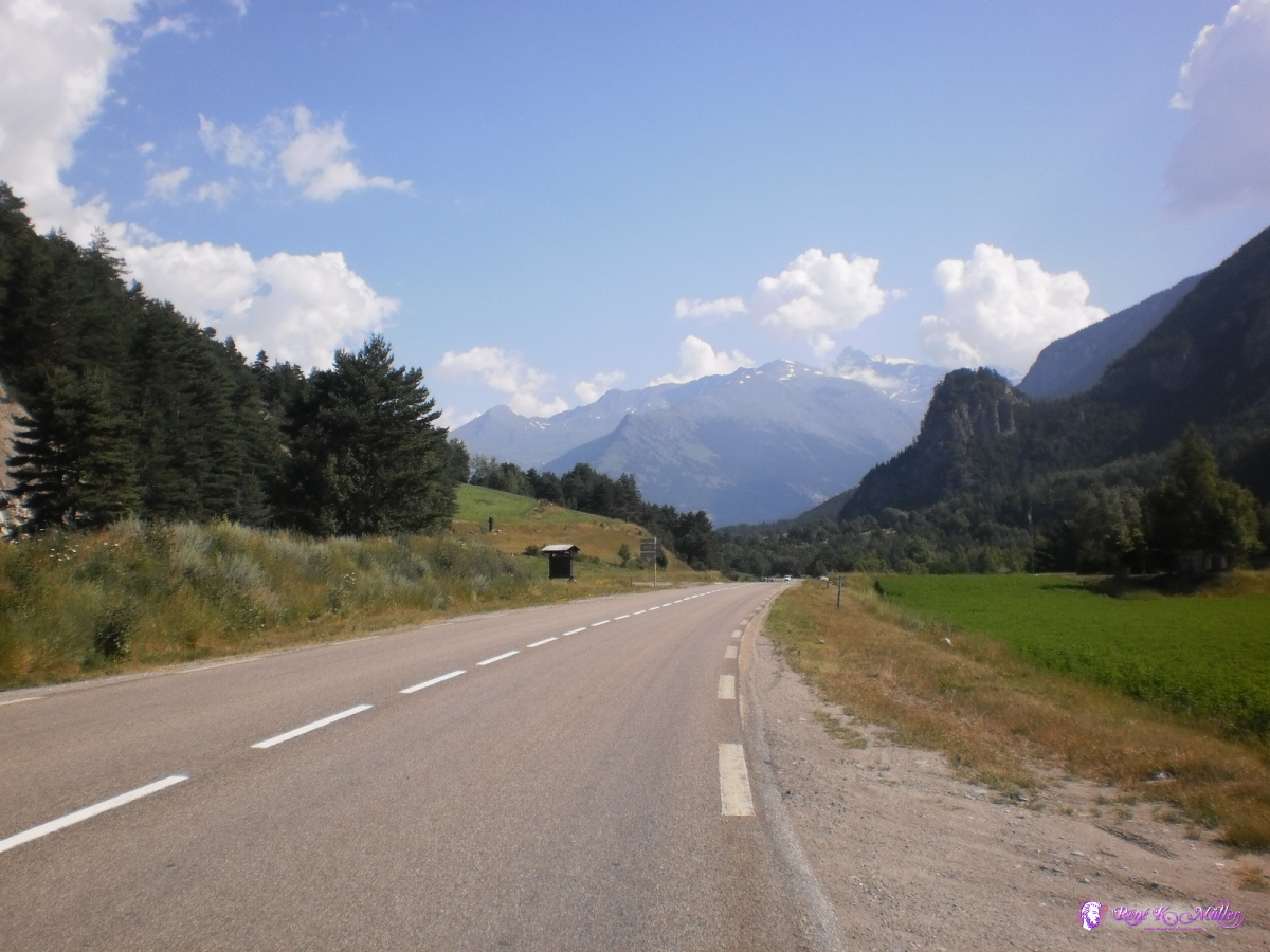 2013:07:26 10:17:39 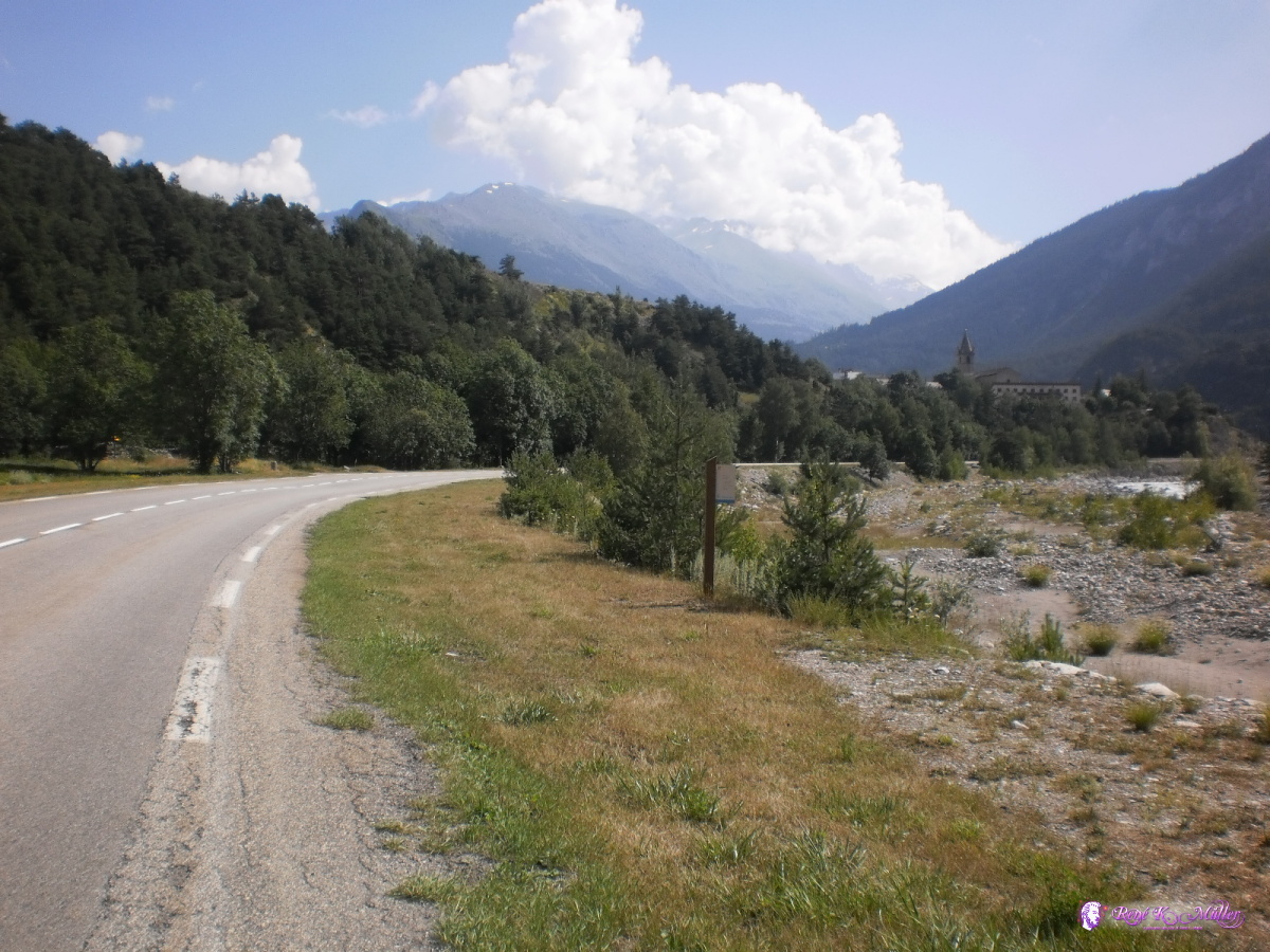 2013:07:26 10:31:41 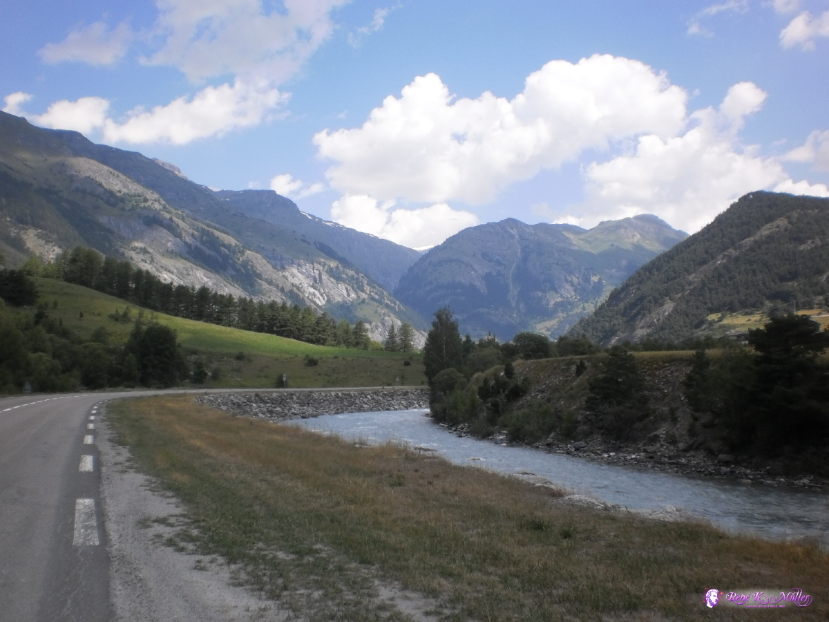 2013:07:26 11:07:38 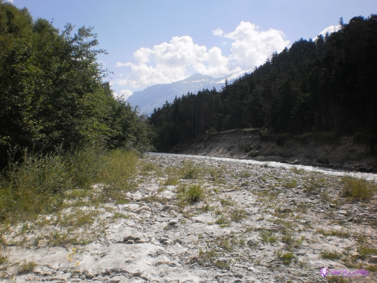 2013:07:26 11:35:55 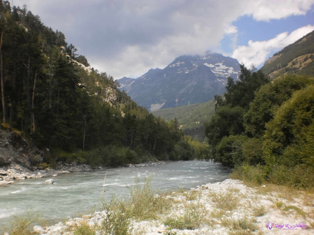 2013:07:26 11:36:03 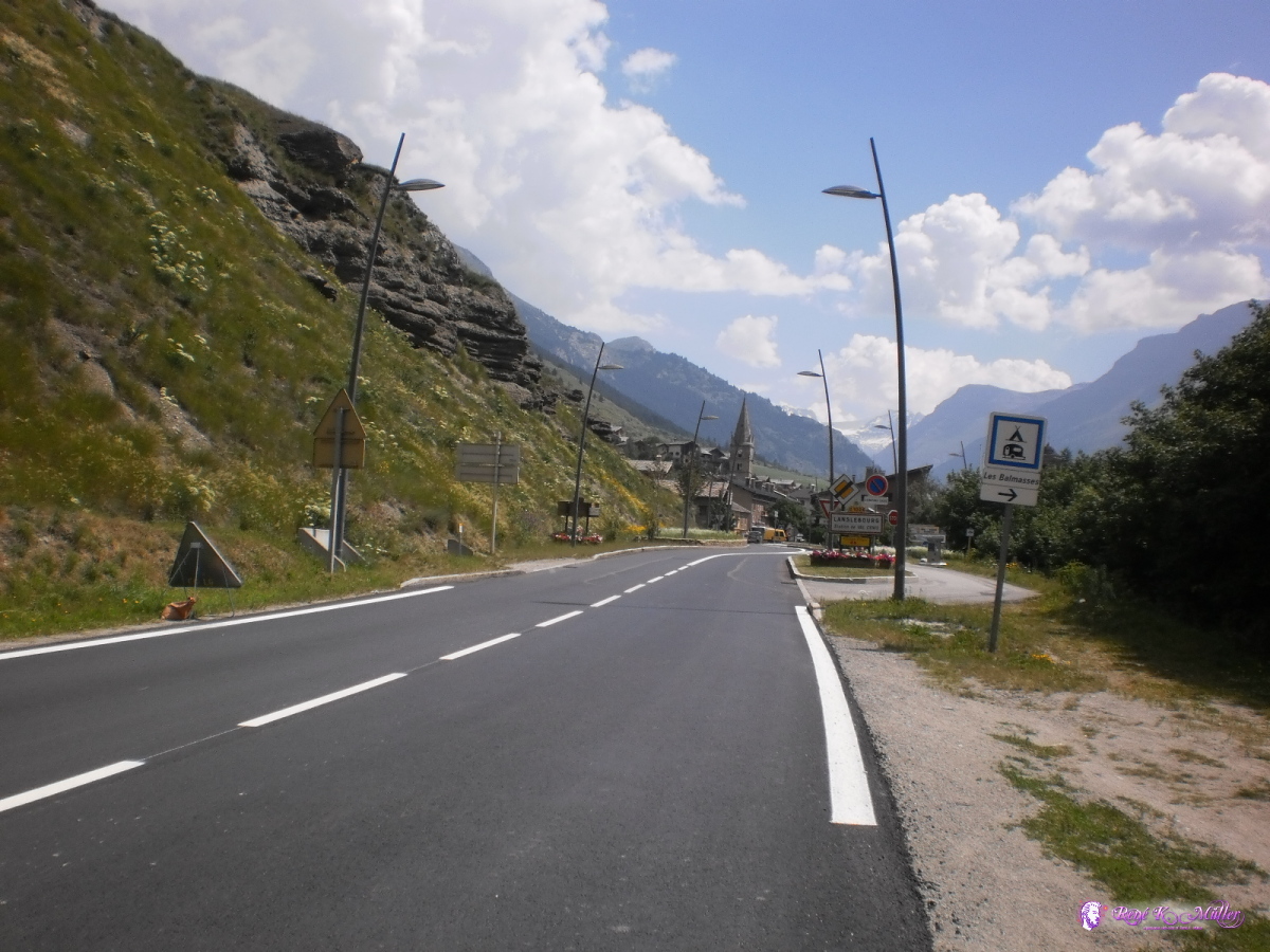 2013:07:26 11:51:51 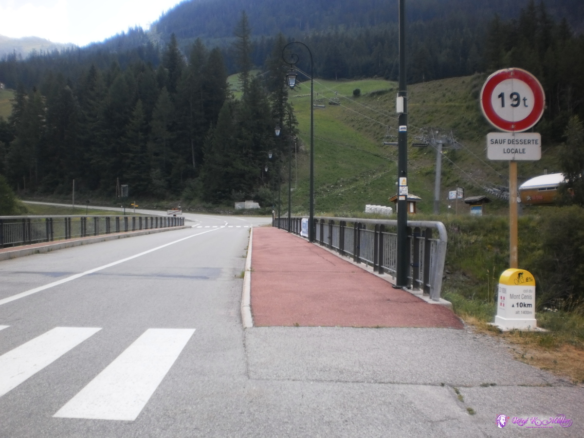 2013:07:26 12:49:56 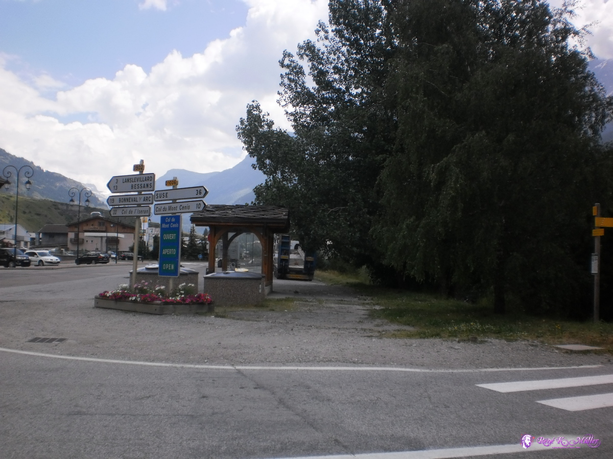 2013:07:26 12:50:00  2013:07:26 12:55:33 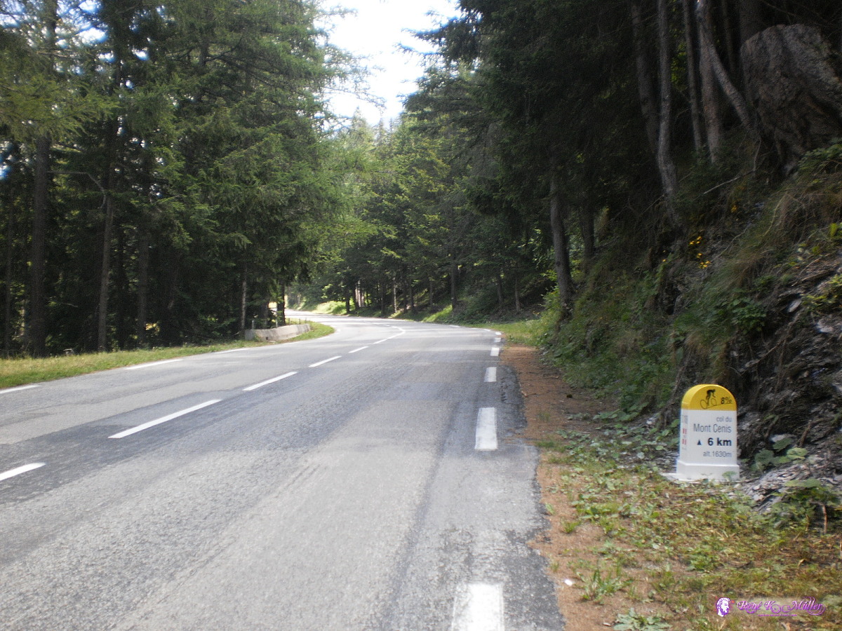 2013:07:26 13:30:31 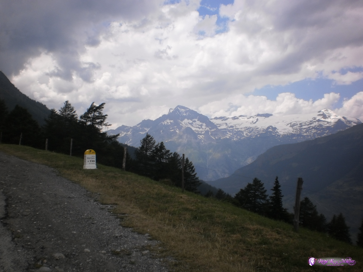 2013:07:26 14:36:04 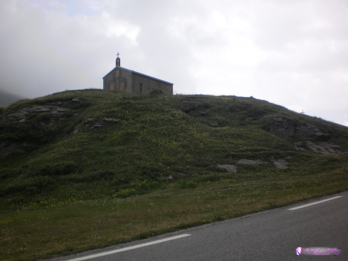 2013:07:26 14:59:59 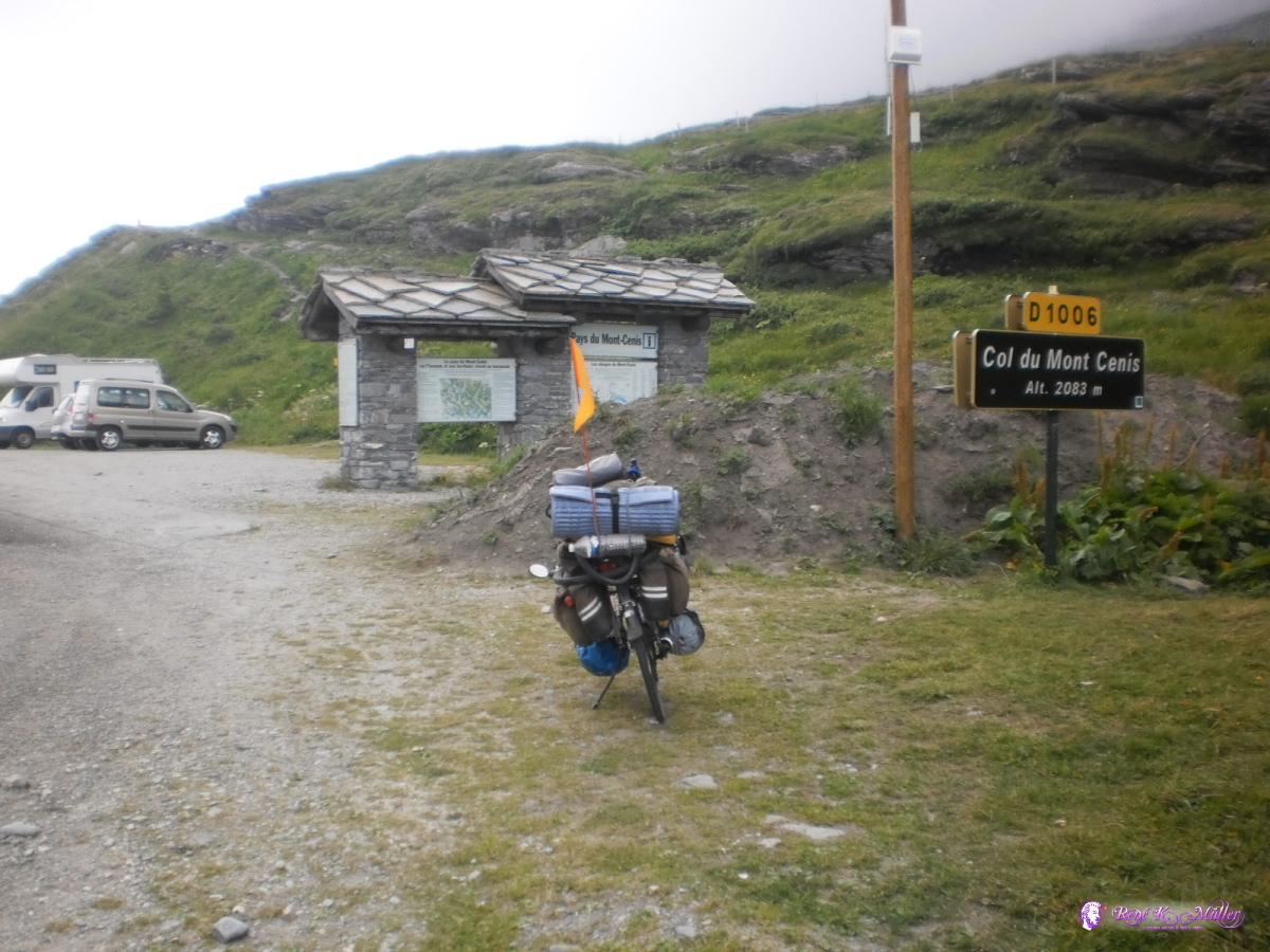 Col du Mont Cenis (2083m) 2013:07:26 15:01:53 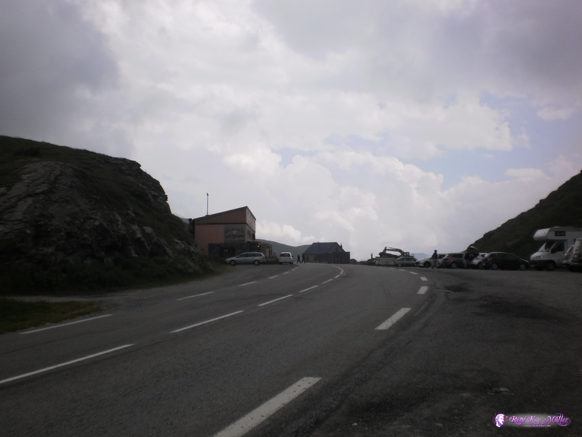 2013:07:26 15:01:58 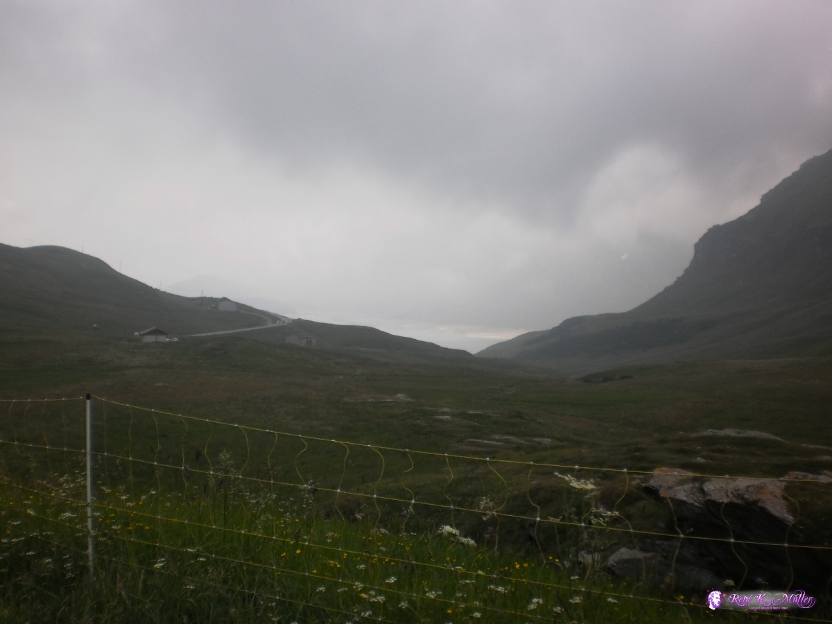 2013:07:26 15:51:47  2013:07:26 15:54:20 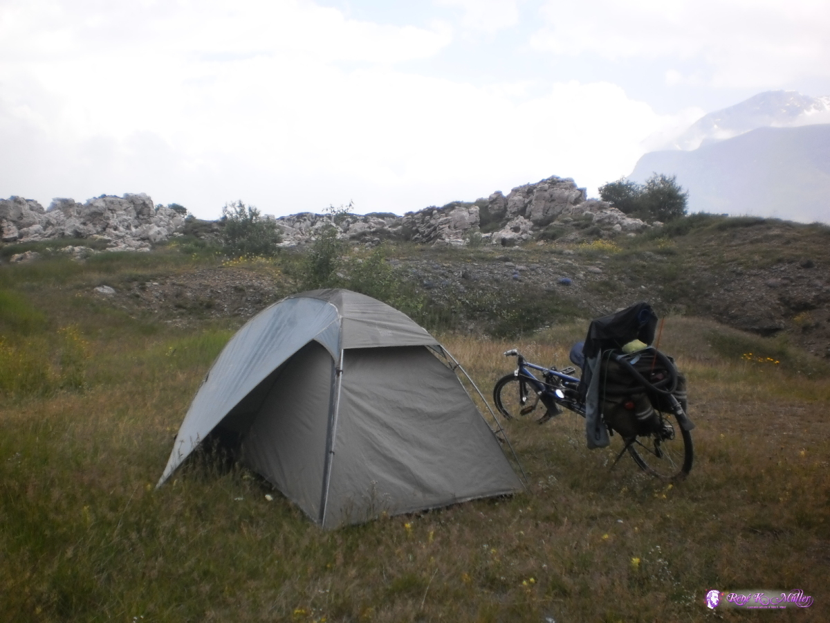 2013:07:26 17:24:49 July 27, 2013: Col du Mont Cenis (2083m)I decided to spend the entire day staying at this beautiful place . . .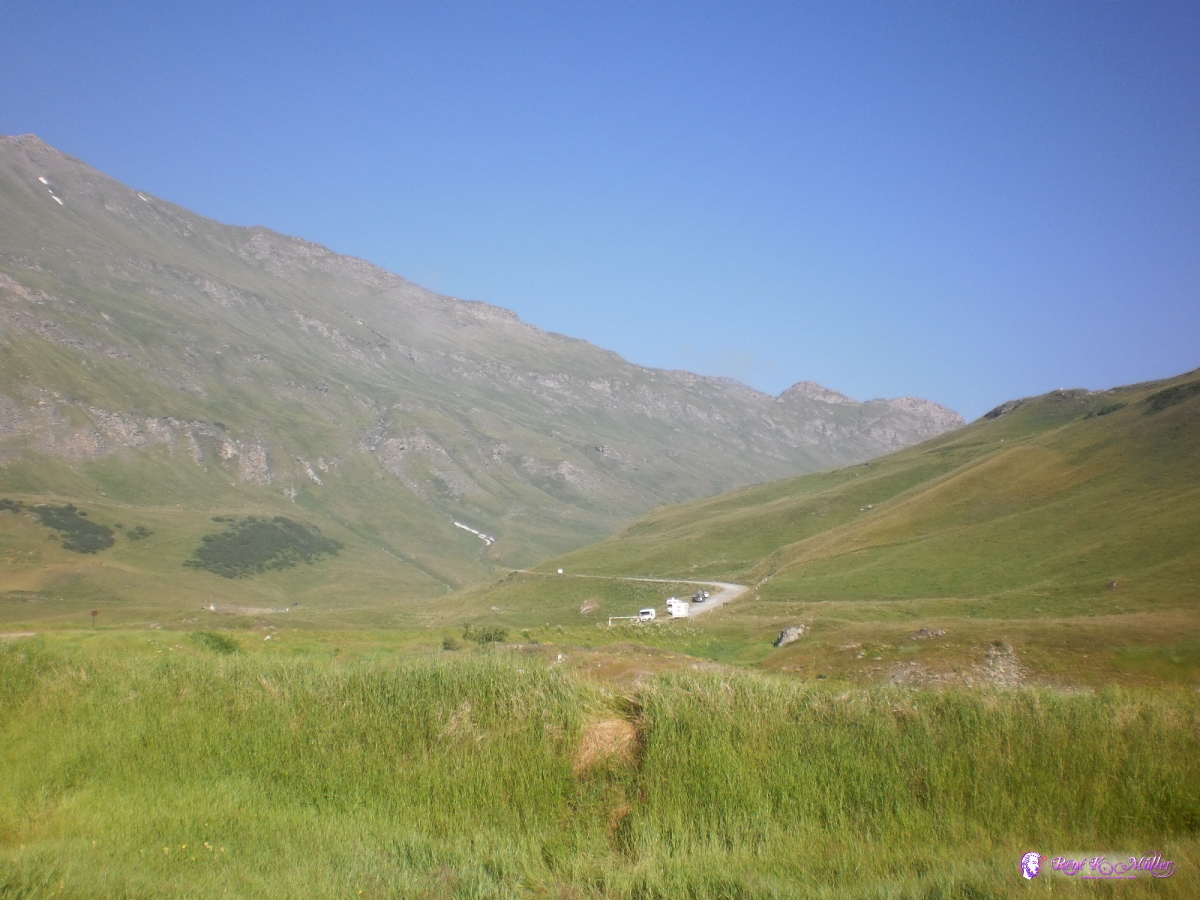 2013:07:27 09:01:07  2013:07:27 09:01:12  2013:07:27 09:01:16  2013:07:27 09:01:23  2013:07:27 09:02:37  2013:07:27 09:02:44 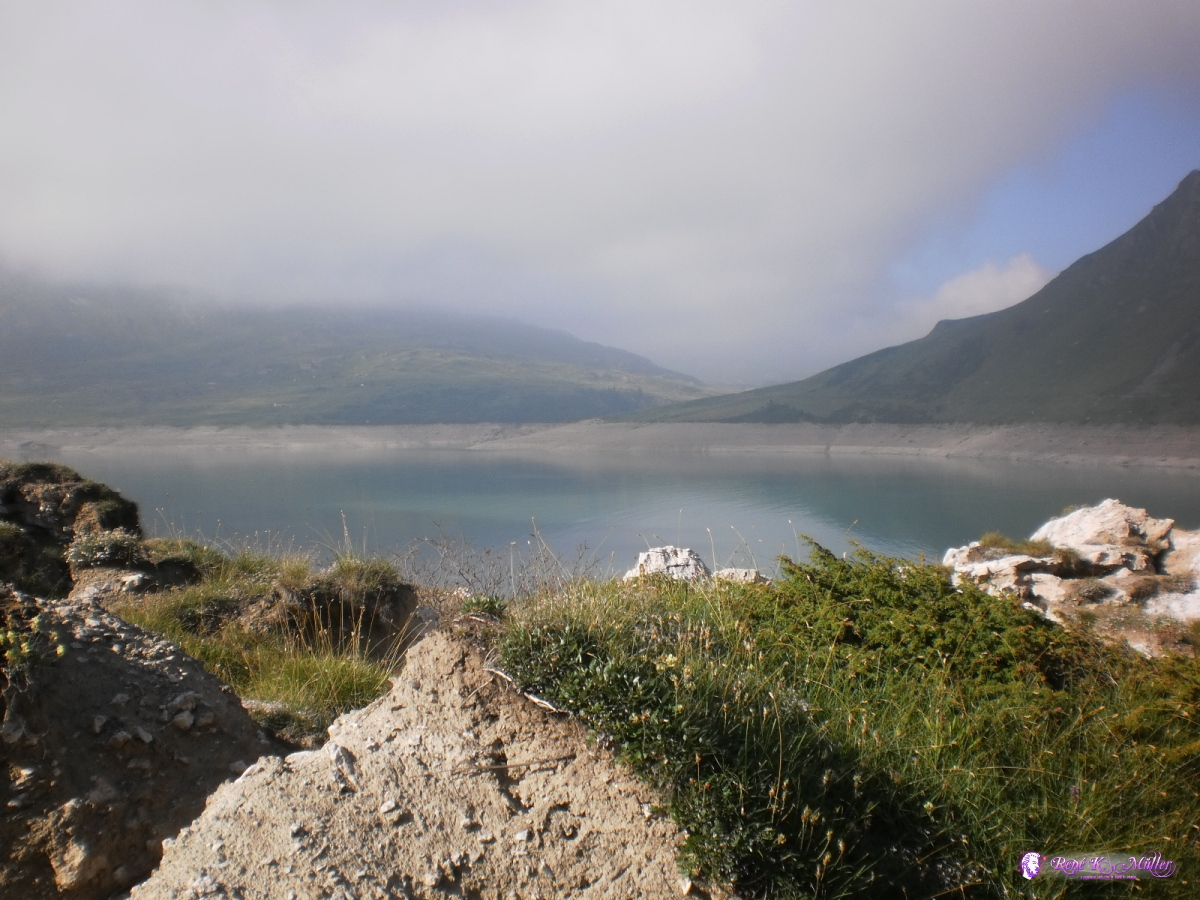 2013:07:27 09:02:50 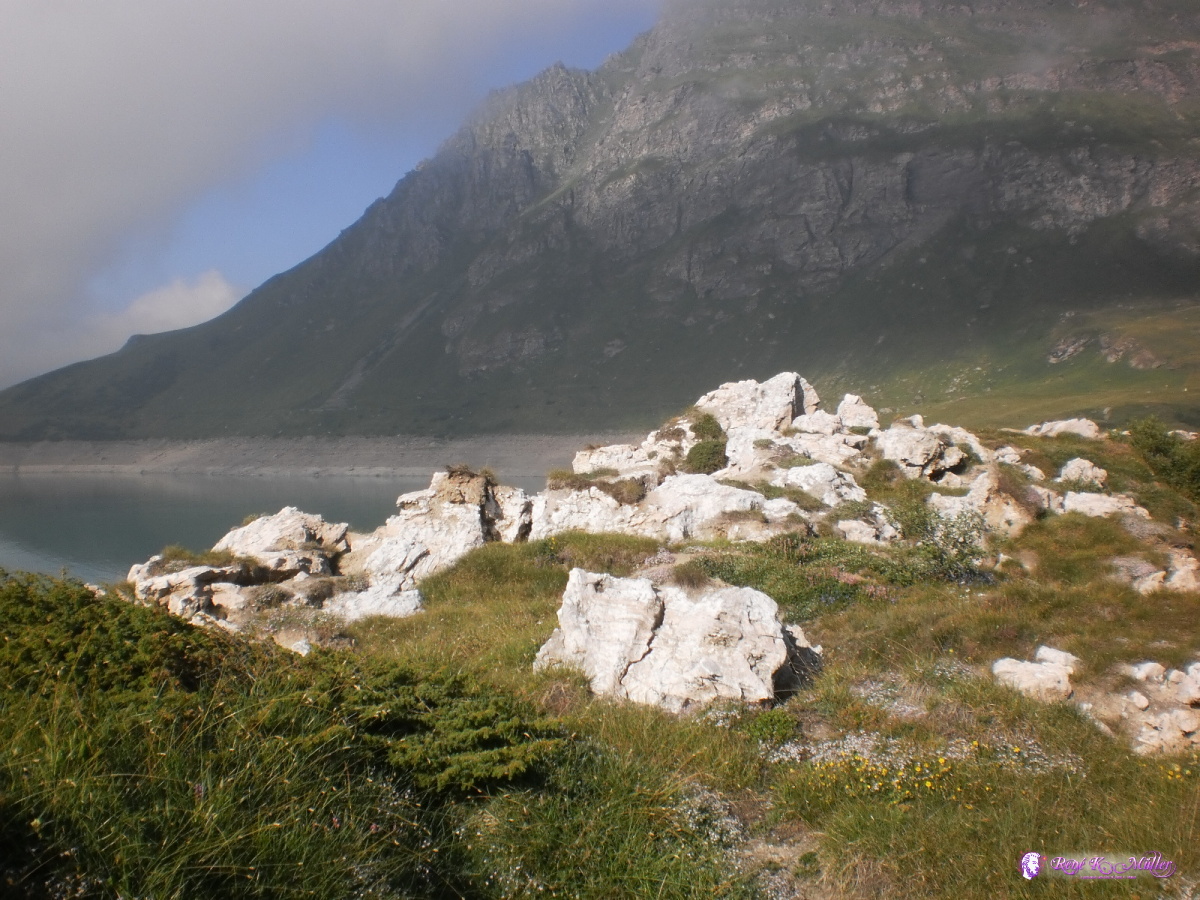 2013:07:27 09:02:55 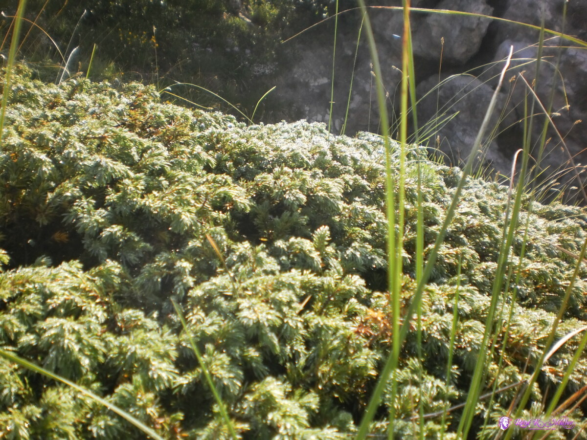 2013:07:27 09:03:06 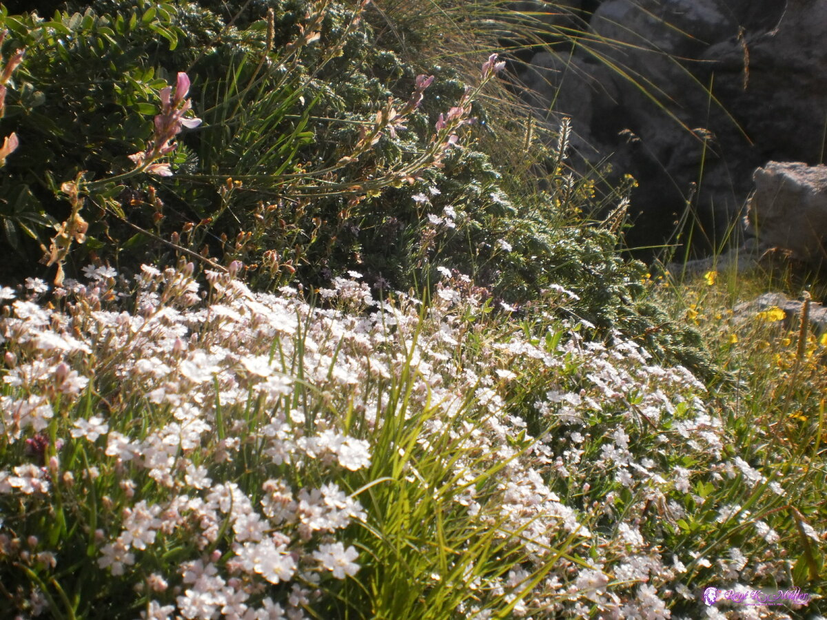 2013:07:27 09:03:14  2013:07:27 09:03:20 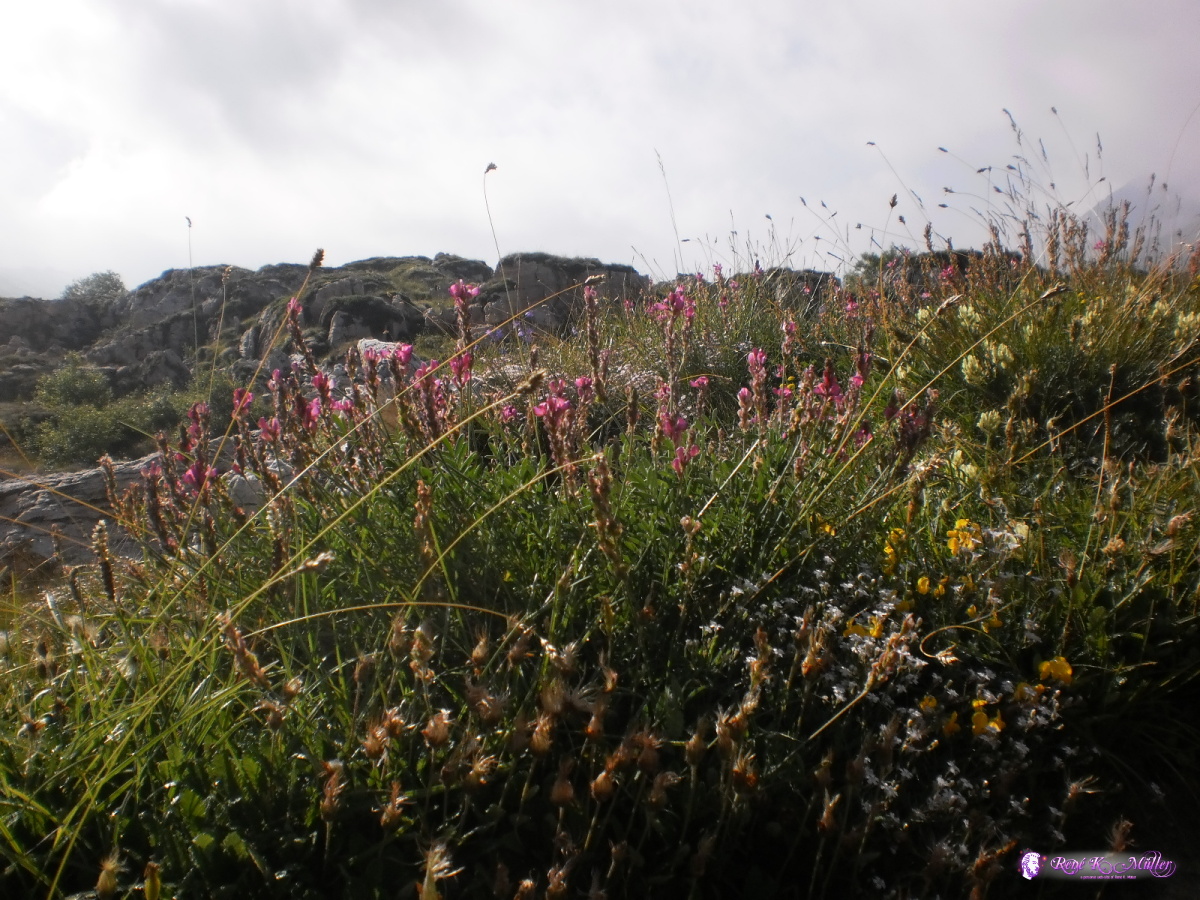 2013:07:27 09:03:33 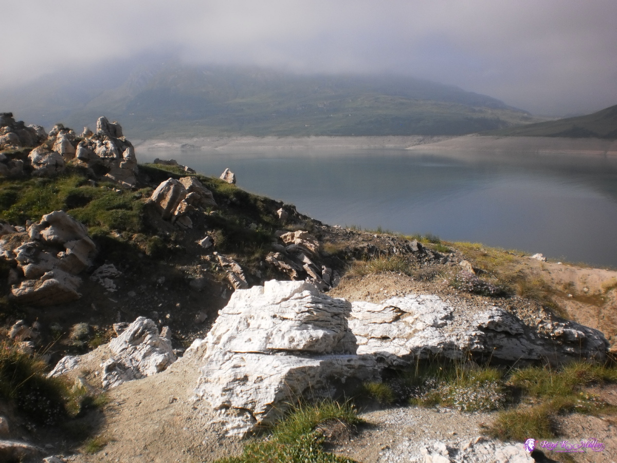 2013:07:27 09:03:40  2013:07:27 09:14:02 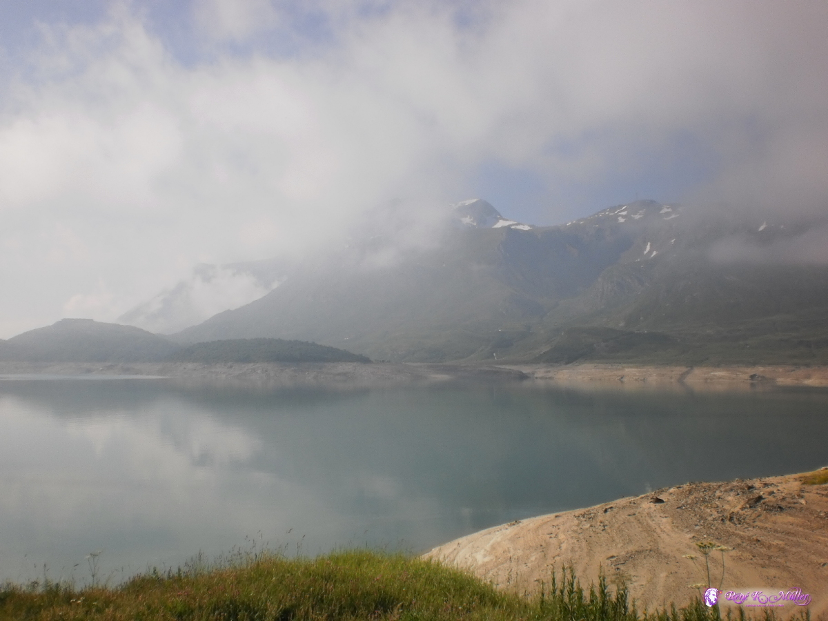 2013:07:27 09:14:07 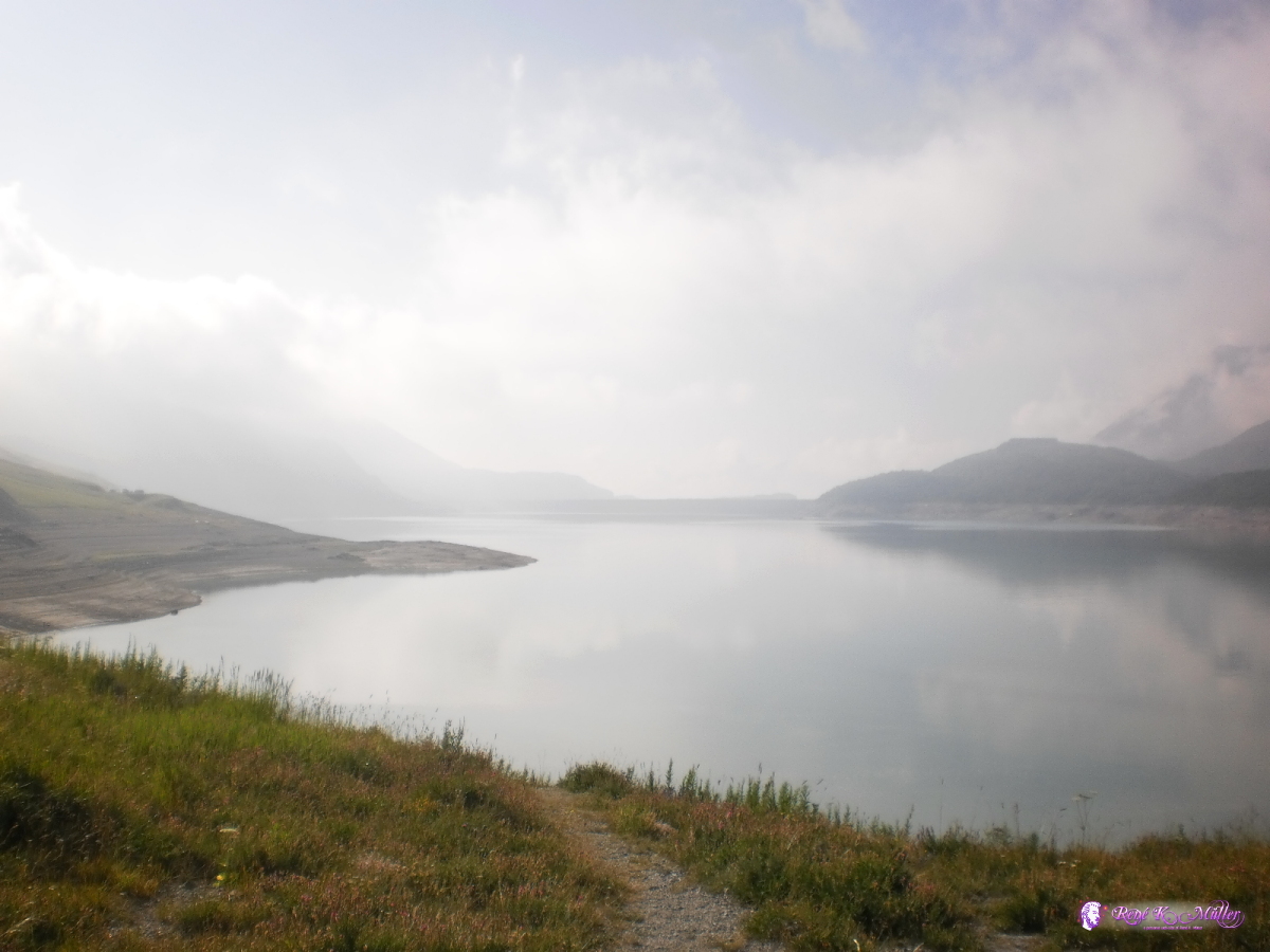 2013:07:27 09:14:12 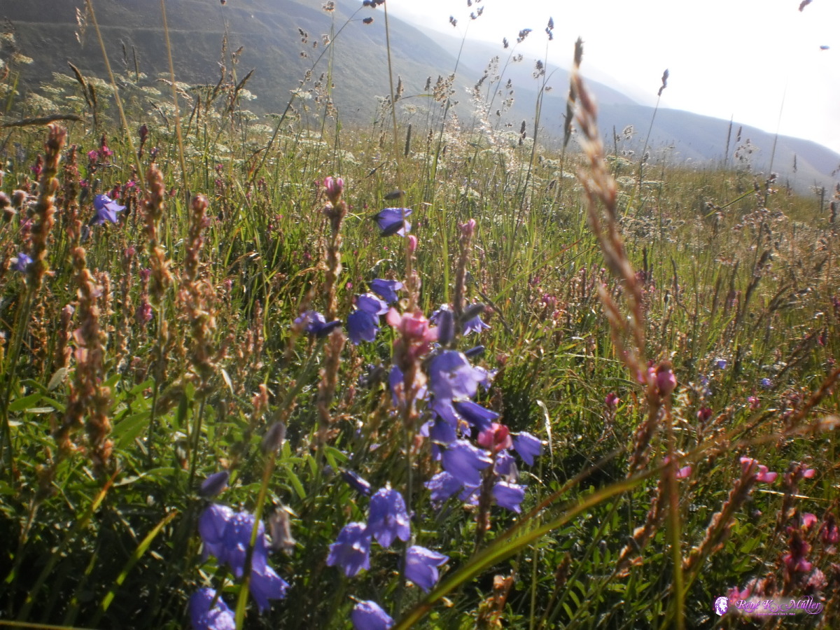 2013:07:27 09:14:28  2013:07:27 09:14:38 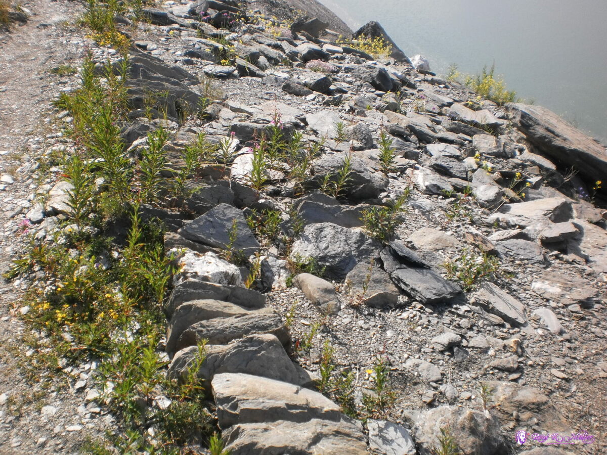 2013:07:27 09:16:32 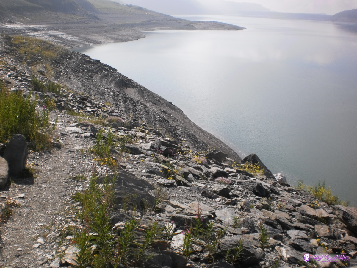 2013:07:27 09:16:36 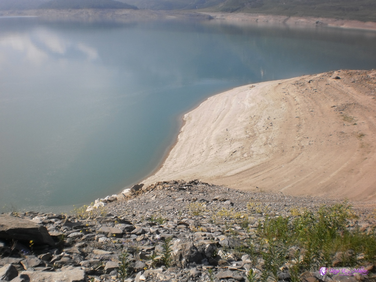 2013:07:27 09:16:43 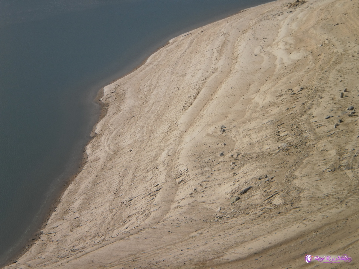 2013:07:27 09:16:50 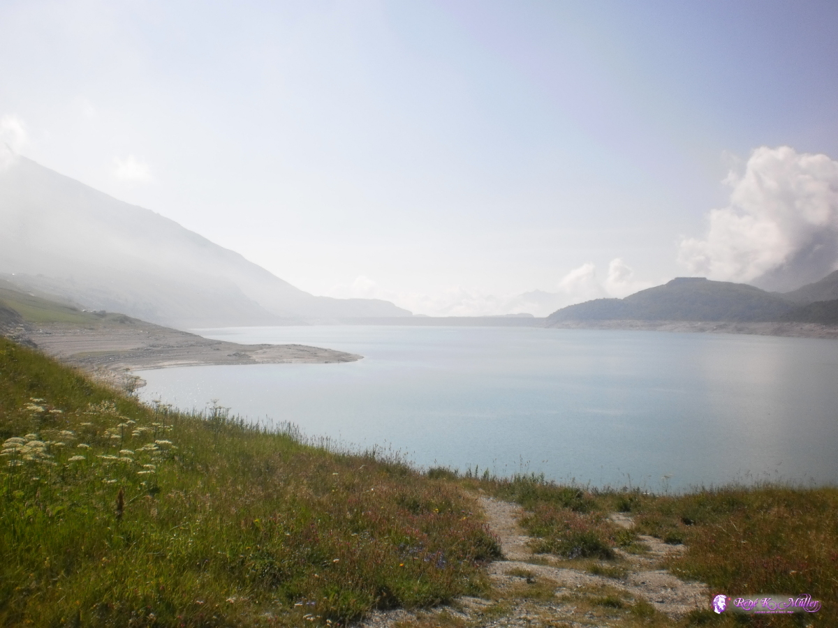 2013:07:27 10:19:31 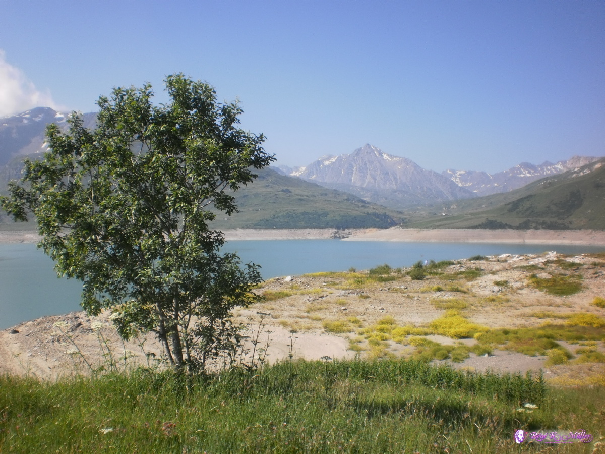 Lac du Mont Cenis 2013:07:27 10:19:44 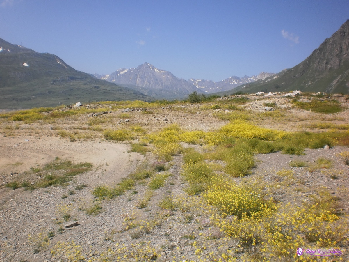 2013:07:27 10:28:58 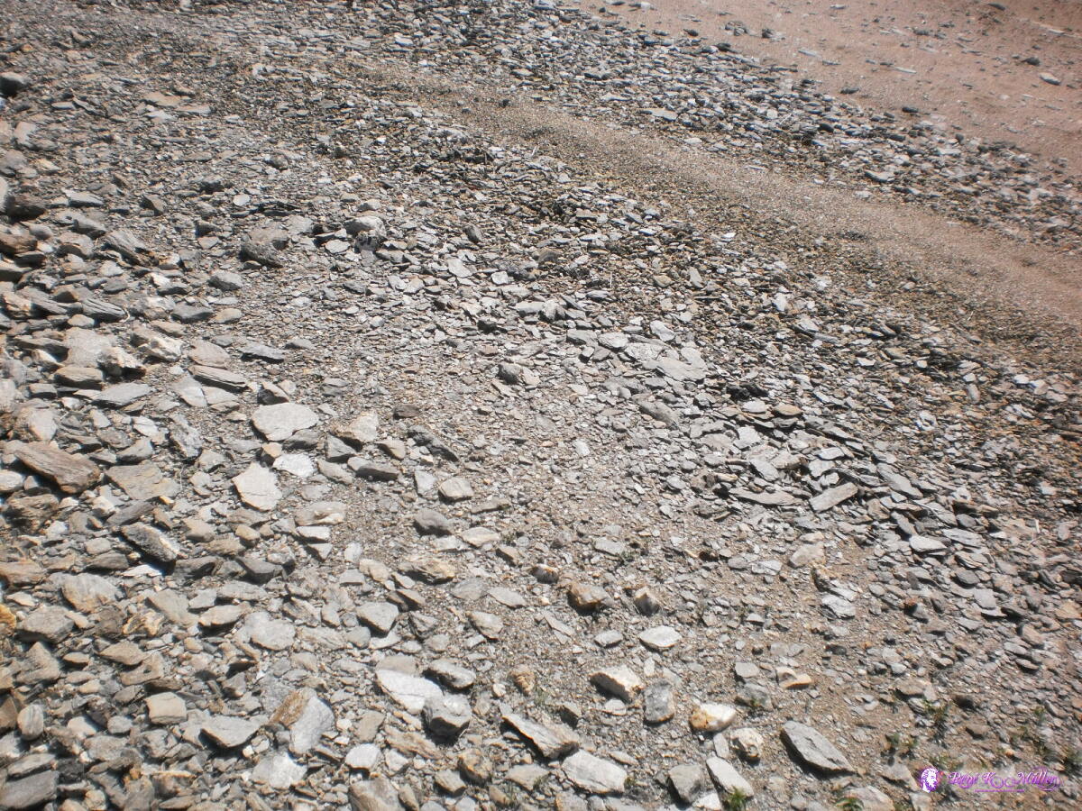 2013:07:27 10:29:48 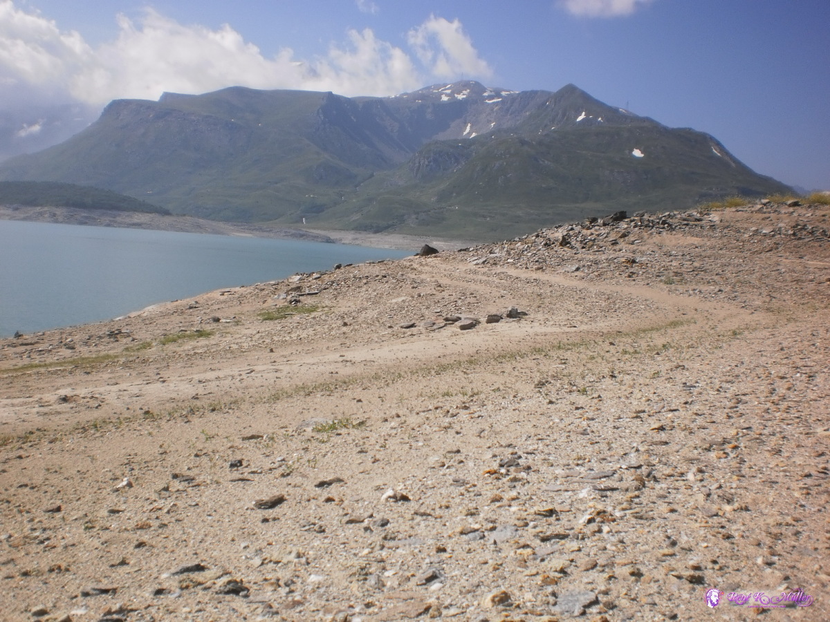 2013:07:27 10:30:01 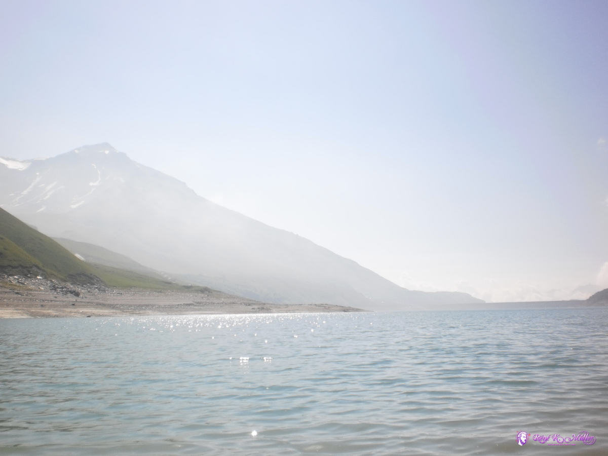 2013:07:27 10:32:40 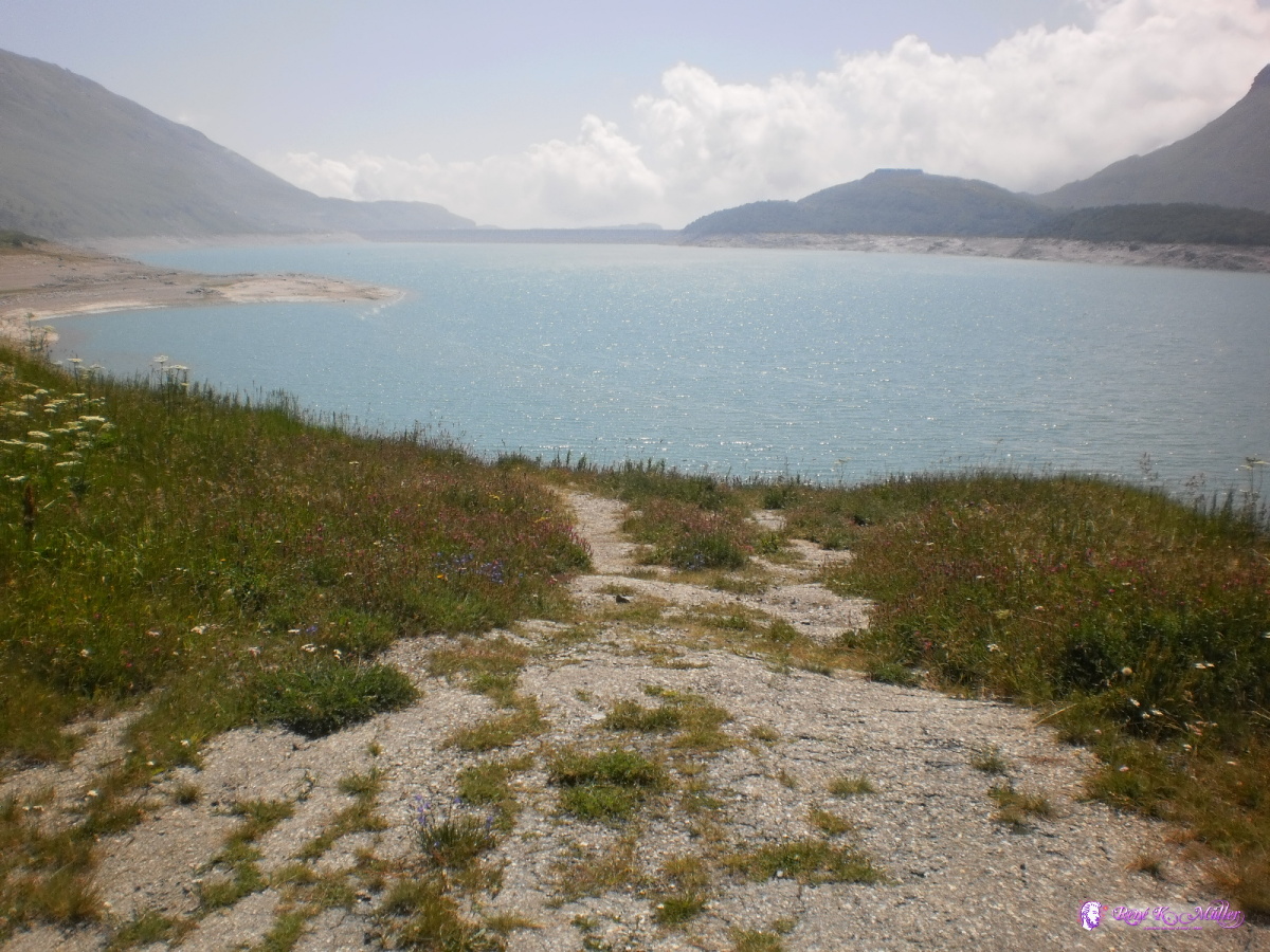 2013:07:27 12:24:48  2013:07:27 12:24:54  2013:07:27 12:25:00  2013:07:27 13:38:01 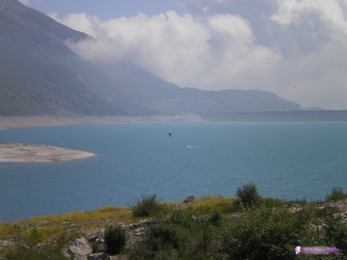 2013:07:27 13:38:09  2013:07:27 14:56:13  2013:07:27 14:56:27  2013:07:27 14:56:38  2013:07:27 16:25:22  Col du Mont Cenis 2013:07:27 16:25:42  2013:07:27 16:35:23  2013:07:27 16:35:32 July 28, 2013: Col du Mont Cenis - Susa - Torino - Carmagnola 129km (6:41) 1861kmStarted early and leaving France once more to enter to Italy, descended the steep long descend to Susa (with many stops to ensure the wheels won't overheat due the brakes) and down there it was very warm, over 30c and humid. Avoided Turino via Orbassano and head to Carmagnola to visit a friend, who wasn't there so I continued to Racconigi and stayed close to Maira river.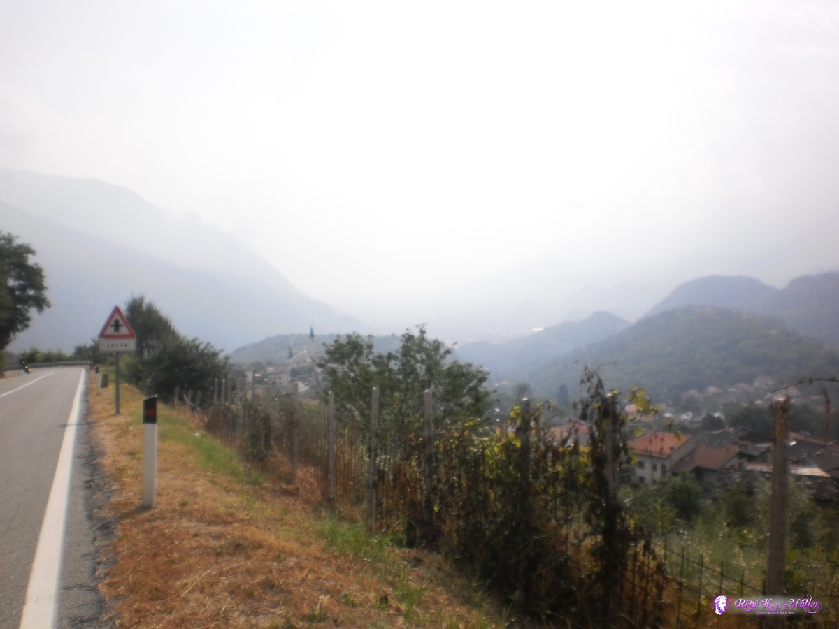 2013:07:28 10:01:49 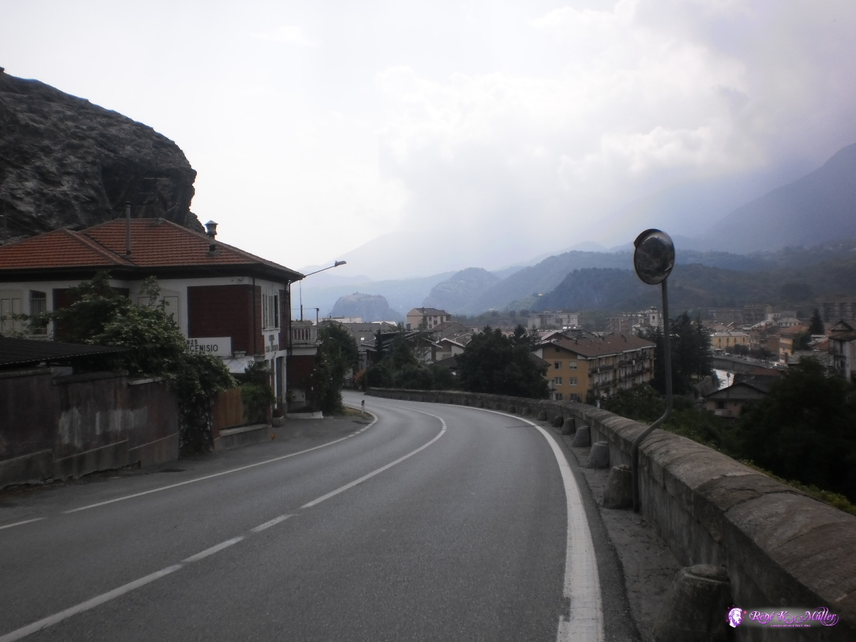 2013:07:28 10:39:20 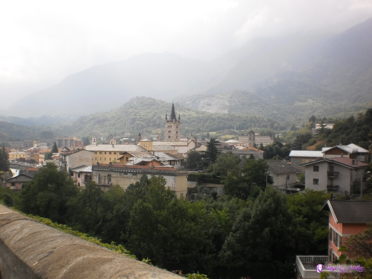 Reaching Susa 2013:07:28 10:39:25  2013:07:28 13:35:14  2013:07:28 19:10:24 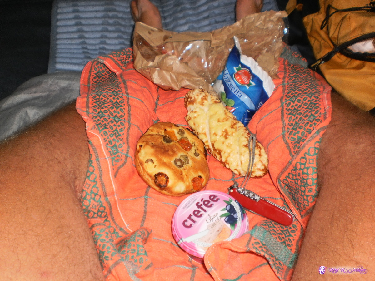 Dinner in the tent 2013:07:28 19:37:27 Content:
|