

Travel Overview
2026: Various Hikes / Tours
2025: Various Hikes / Tours
2024: Various Hikes / Tours
2023: Hiking Swiss Alps
2023: Various Hikes / Tours
2022: Various Hikes / Tours
2021: Various Hikes / Tours
2020: Hiking Swiss Jura Crest & Alpine Panorama Trail
2020: Hiking Swiss Alps
2020: Various Hikes / Tours
2019: Hiking 4 Days in Swiss Alps, Furka & Grimsel
2019: Hiking 5 Days Gotthard Region
2016: Tour Aare, Les Doubs & Rhein
2015: France & Italy
2014: Central Europe
2013: France & Italy
2012: Italy & France
2011: Europe: Three Tours
 2010: India
2009: France: Two Tours
2008: Tour de Romandie
2008: Zug - Bern - Zug
2008: Strasbourg
2008: Europe
2007: France
2005: France & Italy
2004: USA: Denver - Sedona
2004: Lenzburg - Marseille
2004: La Gomera
2003: Sardinien
2003: La Gomera
2002: Korsika
2002: Bordeaux - Hendaye
1998: Switzerland
1997: USA
1996: USA: Colorado & Arizona
2010: India
2009: France: Two Tours
2008: Tour de Romandie
2008: Zug - Bern - Zug
2008: Strasbourg
2008: Europe
2007: France
2005: France & Italy
2004: USA: Denver - Sedona
2004: Lenzburg - Marseille
2004: La Gomera
2003: Sardinien
2003: La Gomera
2002: Korsika
2002: Bordeaux - Hendaye
1998: Switzerland
1997: USA
1996: USA: Colorado & Arizona
Spirituality Overview
My Experiences with Channeling
Protection of ...
Earthkeeper Vision
Art of Descension
Reincarnation and The Self
Multidimensional Realities
Third Eye
Spiritual Evolution
I Am The Light
Sleeping Humankind
Numbers
Spirit Diary
Quotes
|
"Yes, we can."
Barack Obama |
2014: Central EuropeMay 02, 2014: Jesolo - Latisana - Codroipo 76km (4:23) 2480kmThe morning is mild, but dark clouds indicate strong rain or worse, and once I reach Jesolo itself hail storm moves over the city - after 30mins it's over but the air has cooled off immensely. I continue to Latisana, and reach the river Tagliamento, green / turquiose color - so I ride north until Codroipo, where I find a nice place near the wide river bed.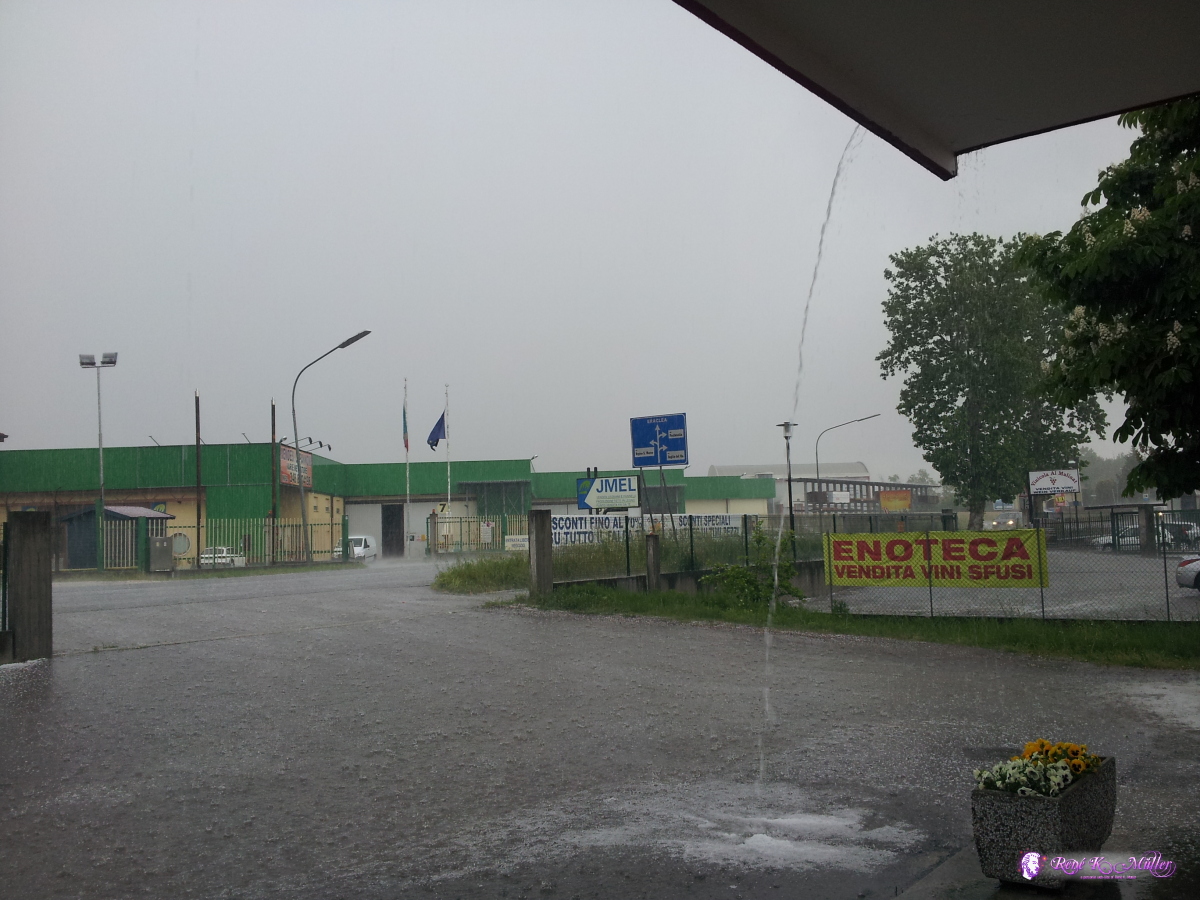 Hail pouring 2014/05/02 09:05 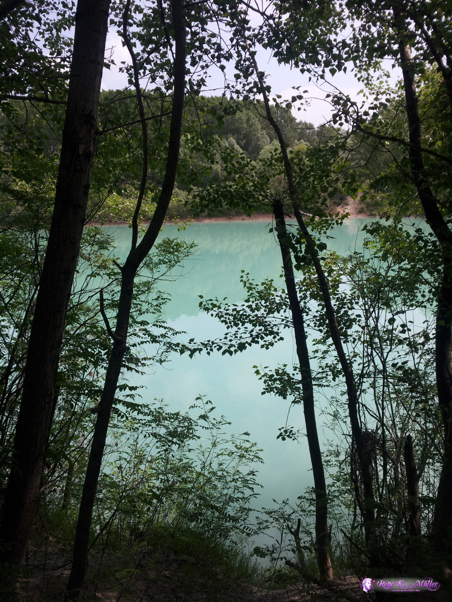 First sight of river Tagliamento 2014/05/02 11:56 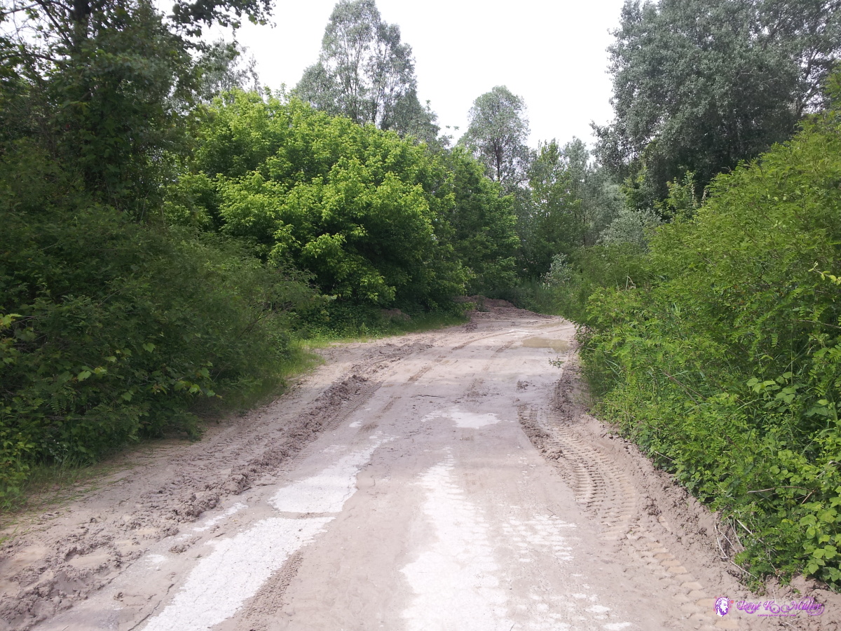 2014/05/02 14:26 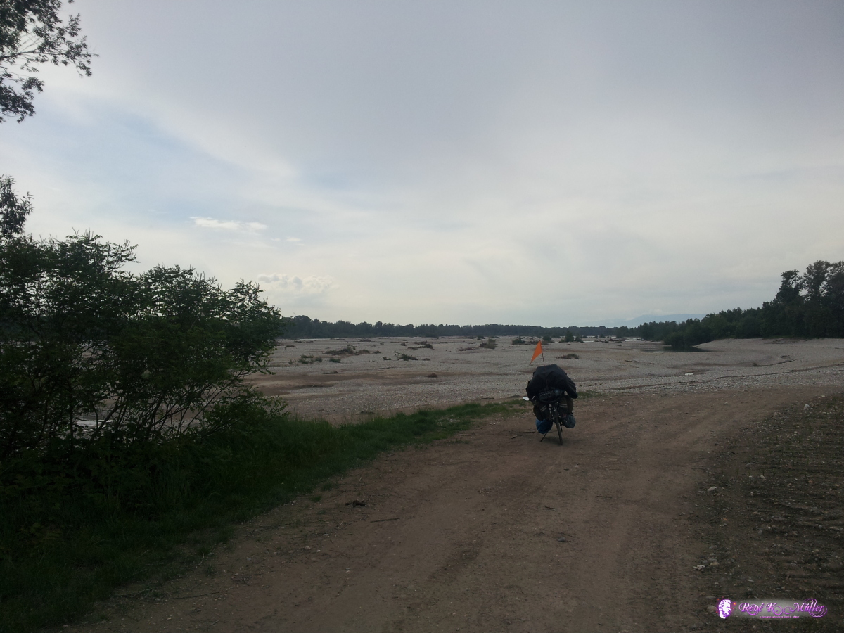 2014/05/02 15:36  Tagliomento river bed 2014/05/02 15:36  2014/05/02 16:35  Tagliamento 2014/05/02 16:45  Tagliamento 2014/05/02 16:48  Tagliamento 2014/05/02 16:48 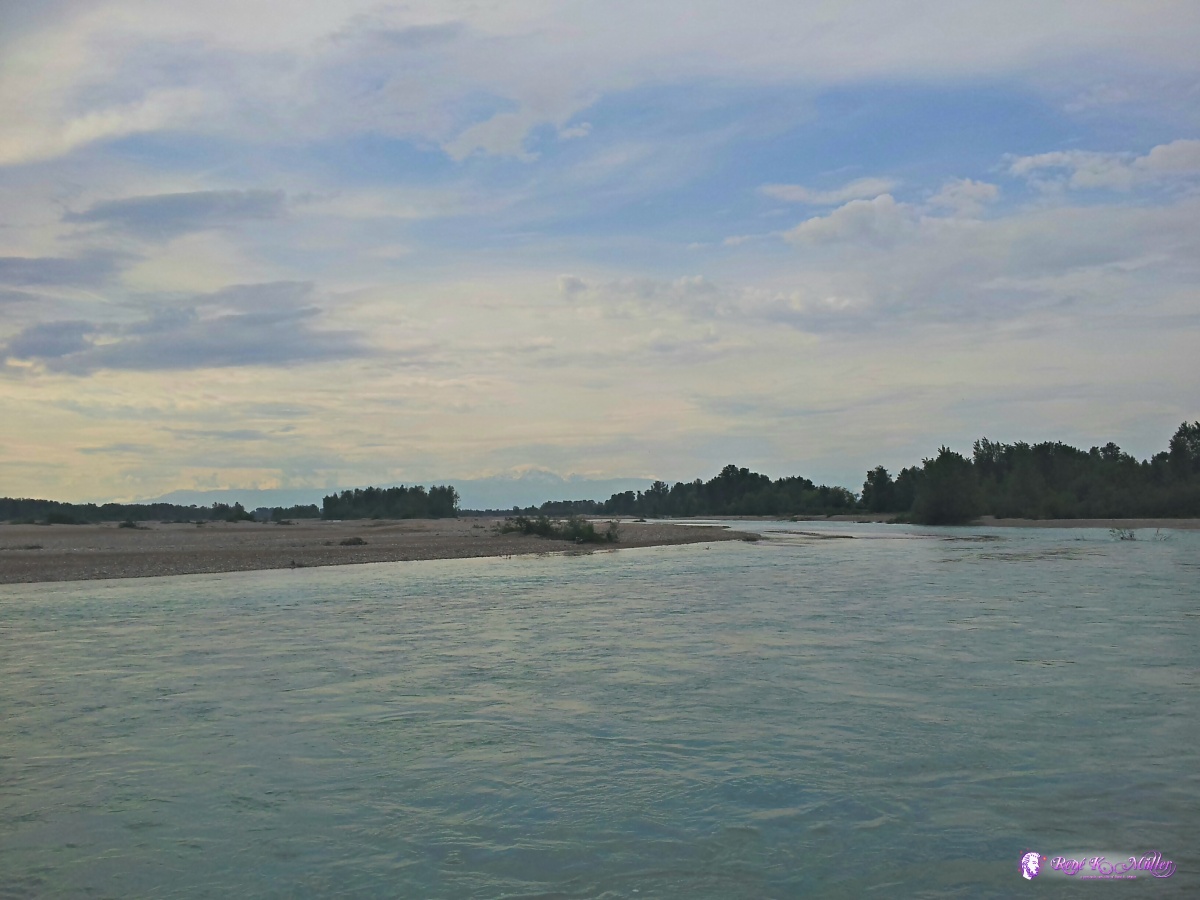 Tagliamento 2014/05/02 16:49  Tagliamento 2014/05/02 16:53 May 03, 2014: Codroipo - Udine - San Daniele del Friuli 72km (4:11) 2552kmI detour briefly to Udine for the day, but then return to the river Tagliamento near San Daniele del Fruili, which, in case you decide to ride into the center, requires a hefty 20% ascend - so steep I had to push my recumbent uphill - just to realize one has to return almost the same way to continue and steep downhill again. A few kilometers of the village I find a nice prepared place in the forest with some used camp fire places - aside of the road, but the trees silence the road noise.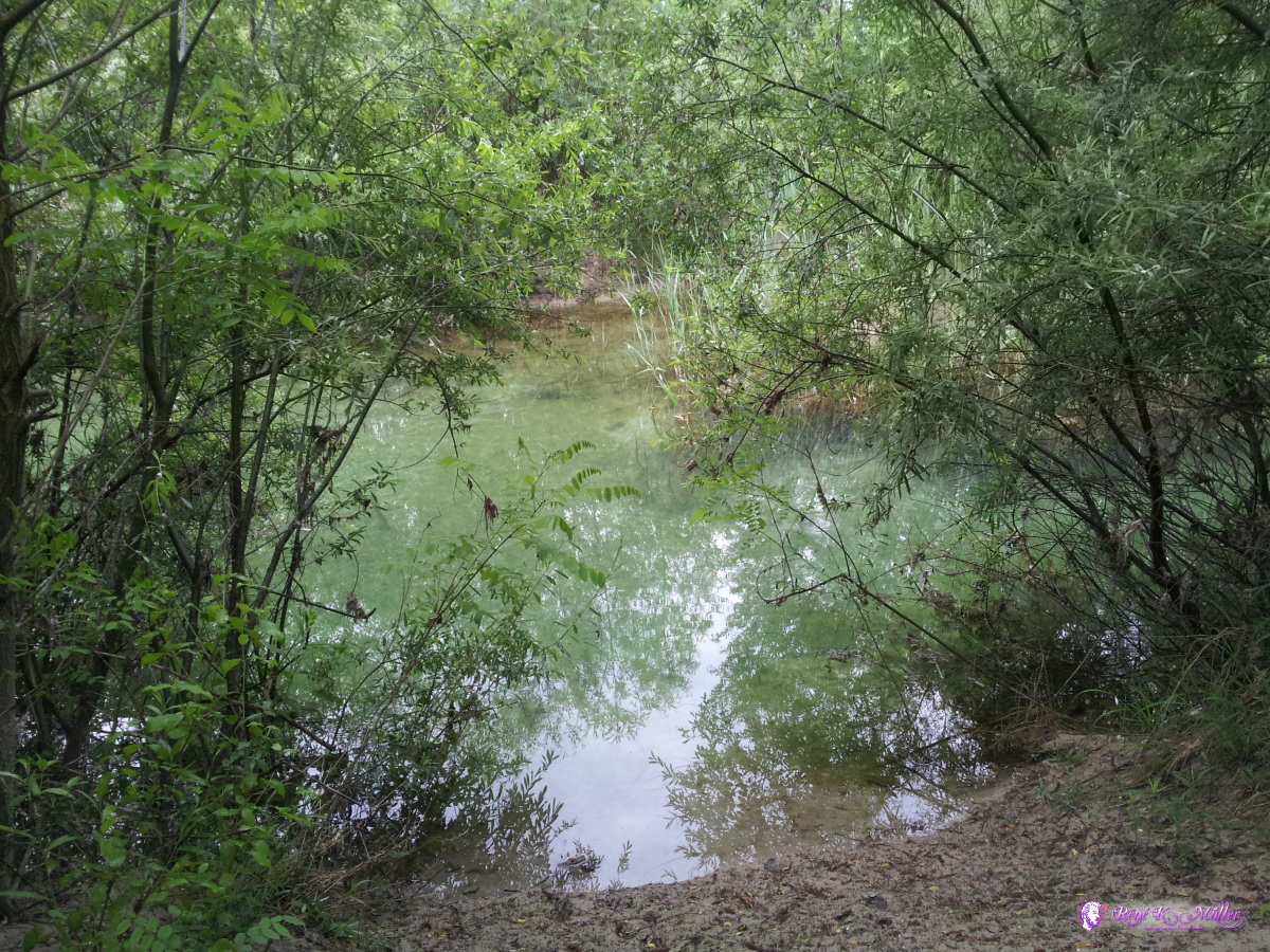 2014/05/03 08:37 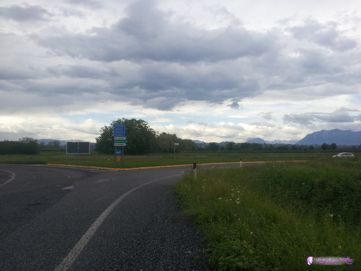 2014/05/03 14:29 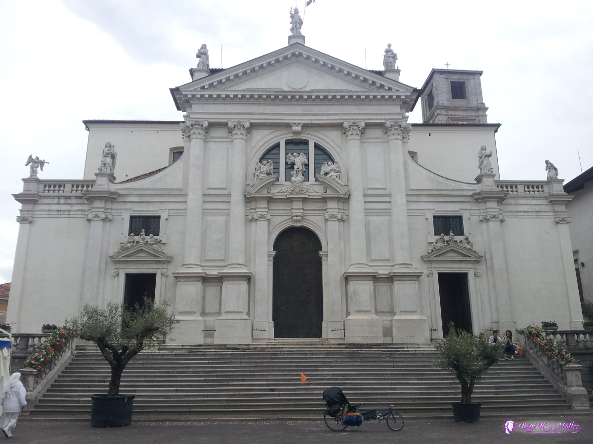 San Daniele del Friuli 2014/05/03 15:50  San Daniele del Friuli 2014/05/03 15:50  2014/05/03 16:35  2014/05/03 16:35  2014/05/03 16:35  2014/05/03 16:36 May 04, 2014: San Daniele del Friuli - Travisio 69km (4:46) 2549kmOne of the few mornings where my tent isn't wet from the humidity, but dry - so I start early this day and go first back to the river, and face strong north wind. Slowly the higher mountains appear, once I reached Resuitta I change to the bicycle path which follows an old train lane, which means steady ascend over the next 50-60km until the highest point at Travisio. About 15km before Travisio I stop and place my tent at the Tagliamento river, so the sun reaches the tent early the next morning. 2014/05/04 08:58 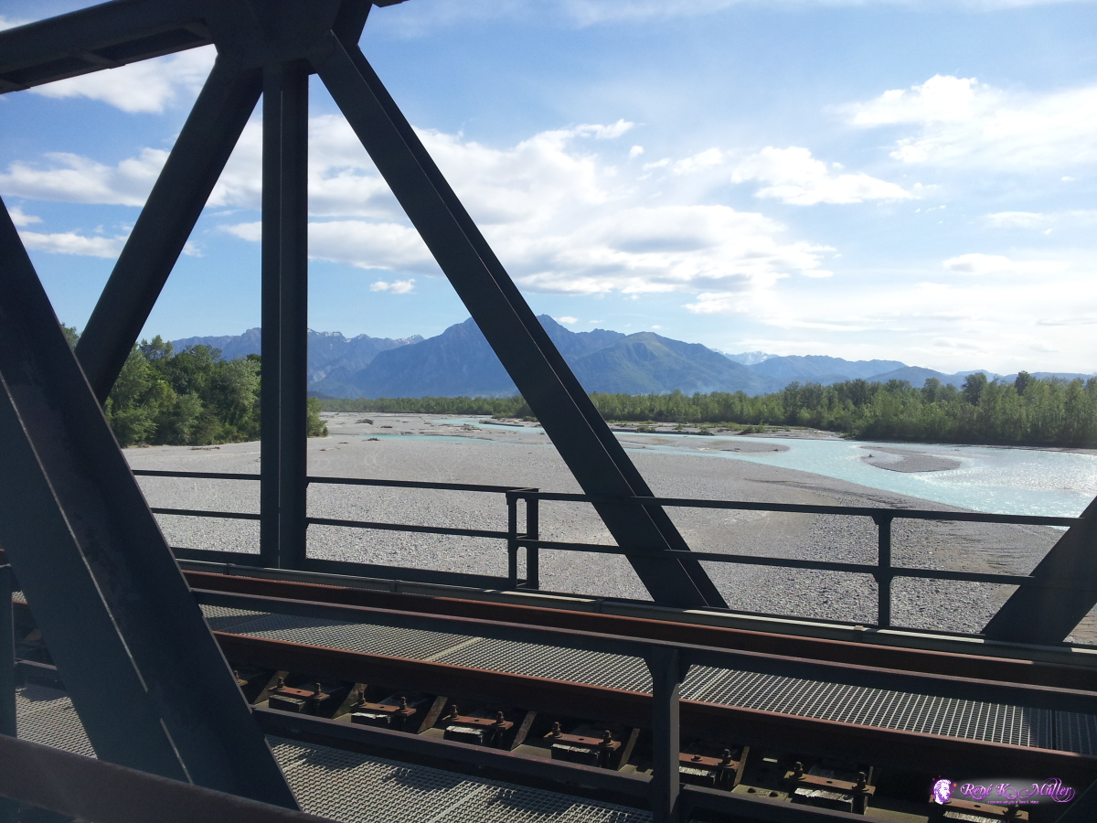 2014/05/04 09:09 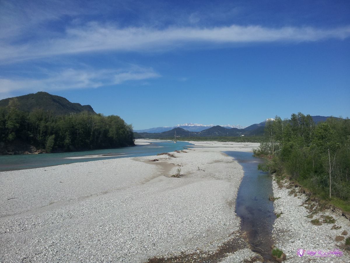 2014/05/04 09:10 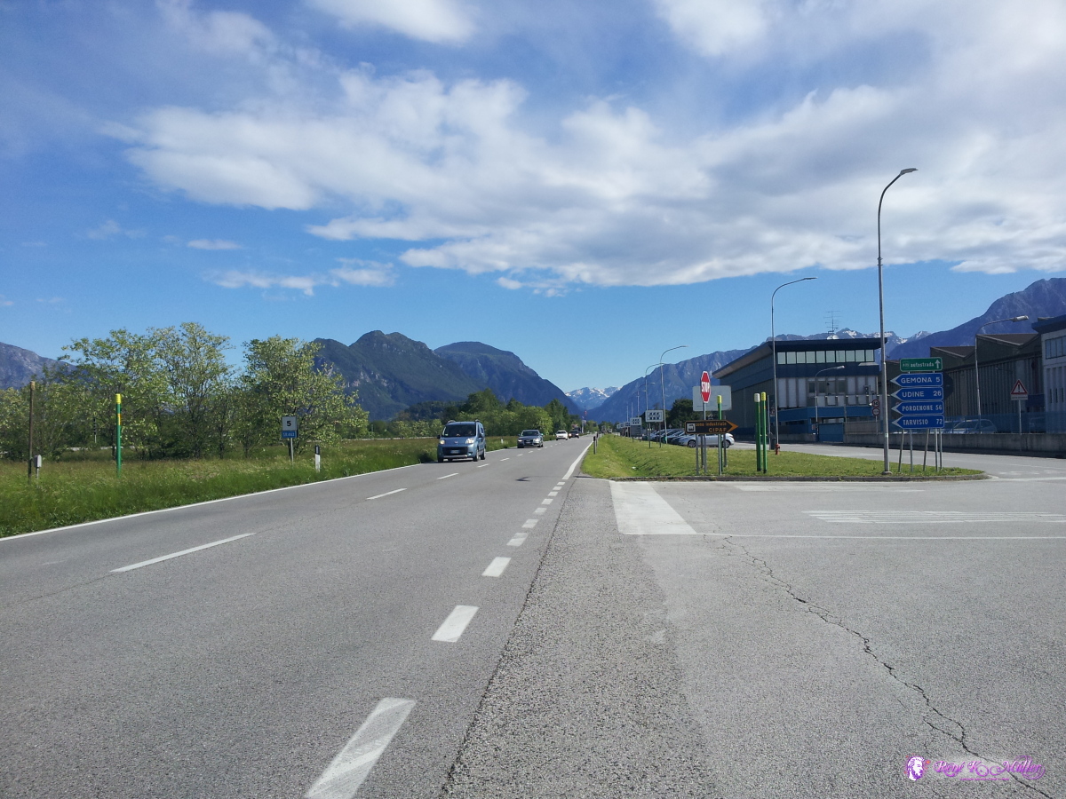 2014/05/04 09:36  2014/05/04 10:44 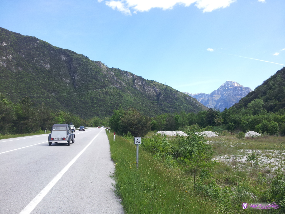 2014/05/04 11:22 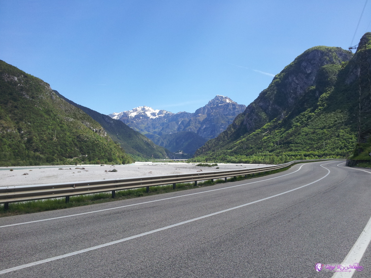 2014/05/04 11:27  2014/05/04 11:41 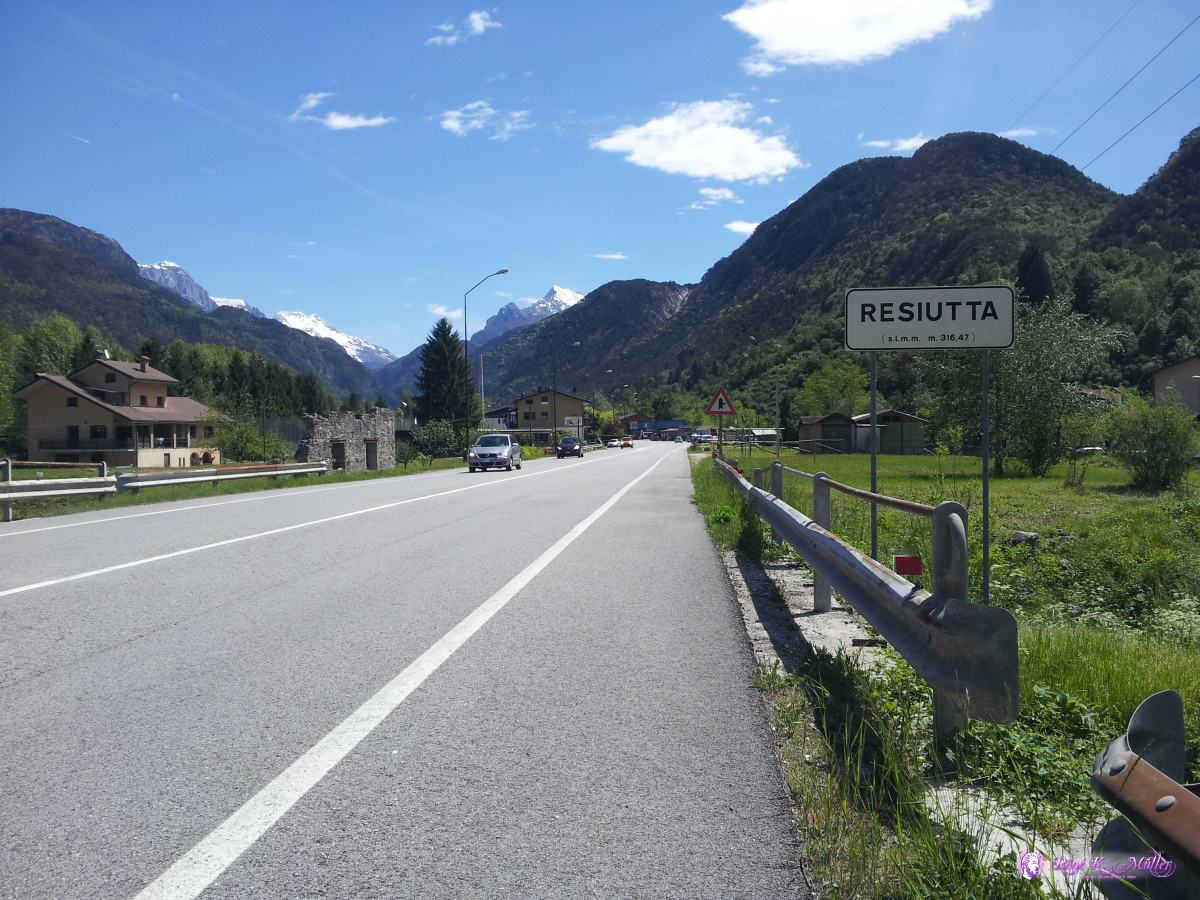 2014/05/04 11:52 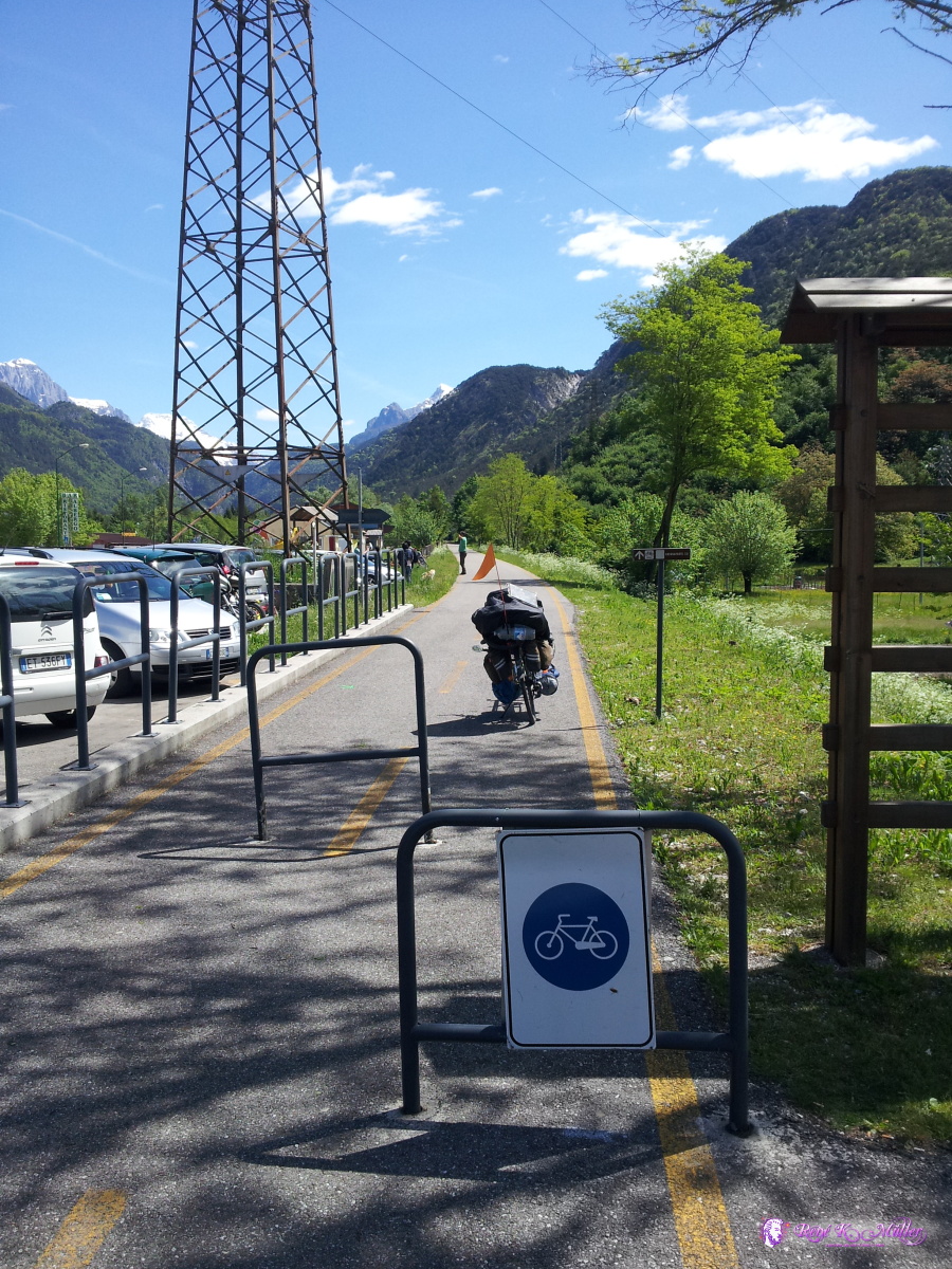 2014/05/04 12:14 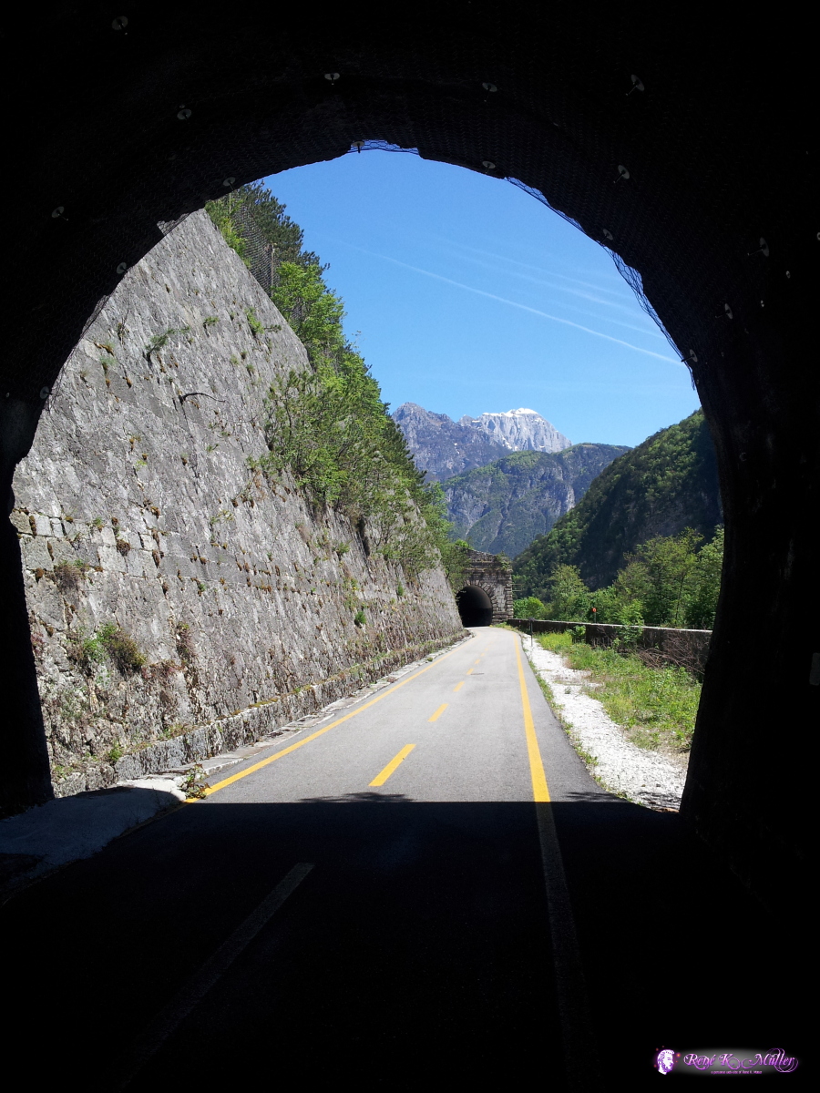 2014/05/04 12:36  2014/05/04 12:49  2014/05/04 13:11  2014/05/04 13:15  2014/05/04 13:25  2014/05/04 13:25  2014/05/04 14:20  2014/05/04 15:56  2014/05/04 15:56  2014/05/04 15:57  2014/05/04 15:57  2014/05/04 15:58  2014/05/04 16:09  2014/05/04 17:02  2014/05/04 17:03  2014/05/04 17:03  2014/05/04 17:03  2014/05/04 17:03  2014/05/04 19:37  2014/05/04 19:38  2014/05/04 19:38  2014/05/04 19:42  2014/05/04 19:42  2014/05/04 19:43  2014/05/04 19:43  2014/05/04 19:43  2014/05/04 19:44  2014/05/04 19:44  2014/05/04 19:44 May 05, 2014: Travisio - Ferlach 80km (4:53) 2629kmAfter about 1.5 hours I reach Travisio, which turns out the highest point, a kind of pass at 795m elevation, just after the village the road descends. The bicycle path ends abruptly as you can see, broken trees block the passage, just about 1km before the border to Austria it seems nobody care to clear the path or make signs. Once I reached Austria, everything is explained with signs - countless signs for every little details, and all are colored green - one can to read them all to find the bicycle path signs (they should have used another color, like France, Switzerland and other countries do). I camp a few kilometers before Ferlach at the river Drau. 2014/05/05 10:21  2014/05/05 10:43 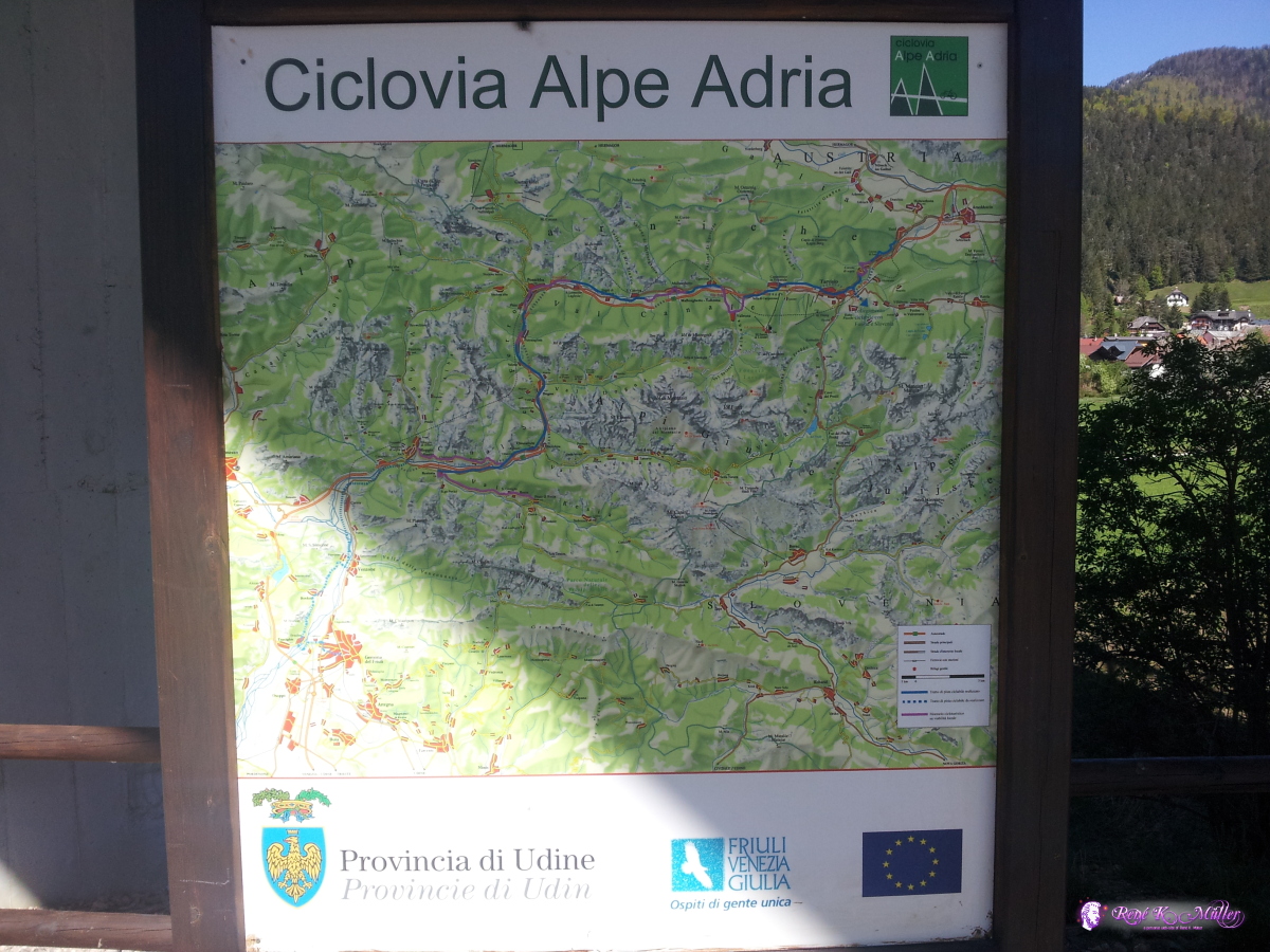 2014/05/05 10:43 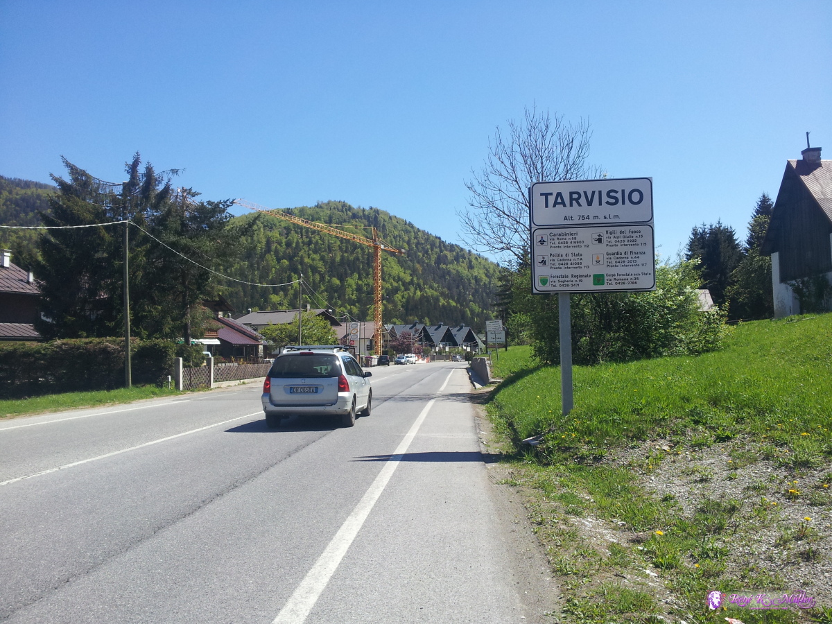 2014/05/05 11:19 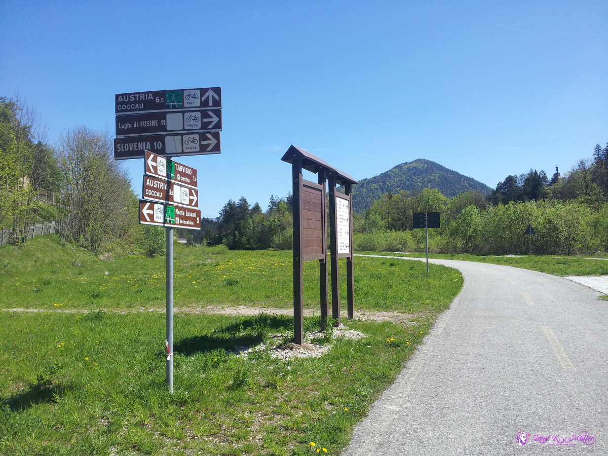 2014/05/05 11:32 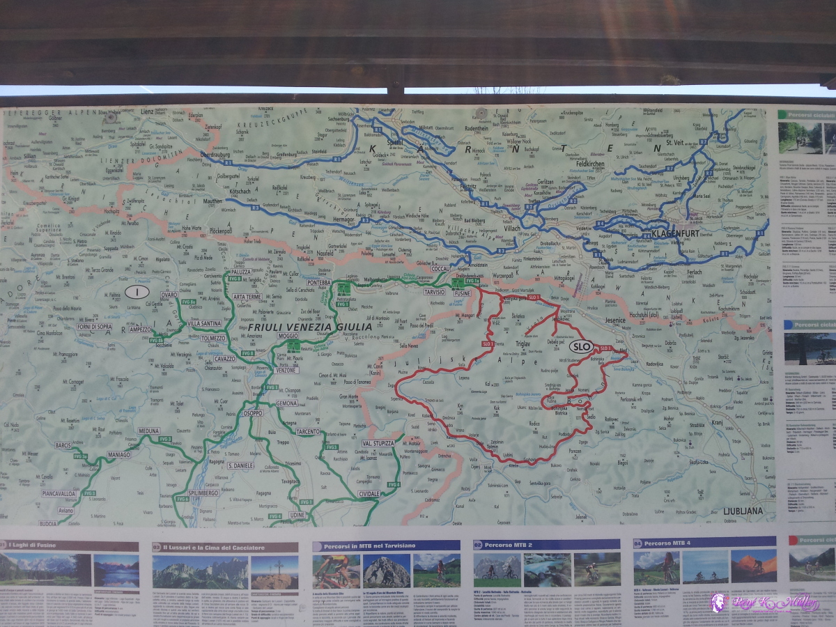 2014/05/05 11:34 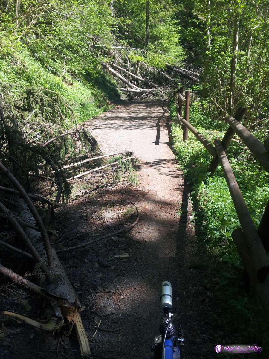 2014/05/05 12:04 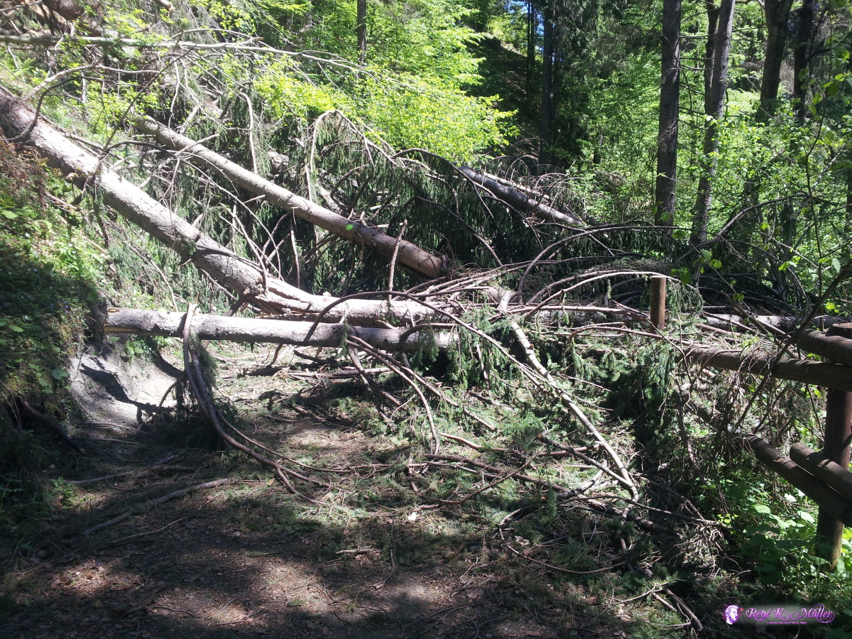 2014/05/05 12:05 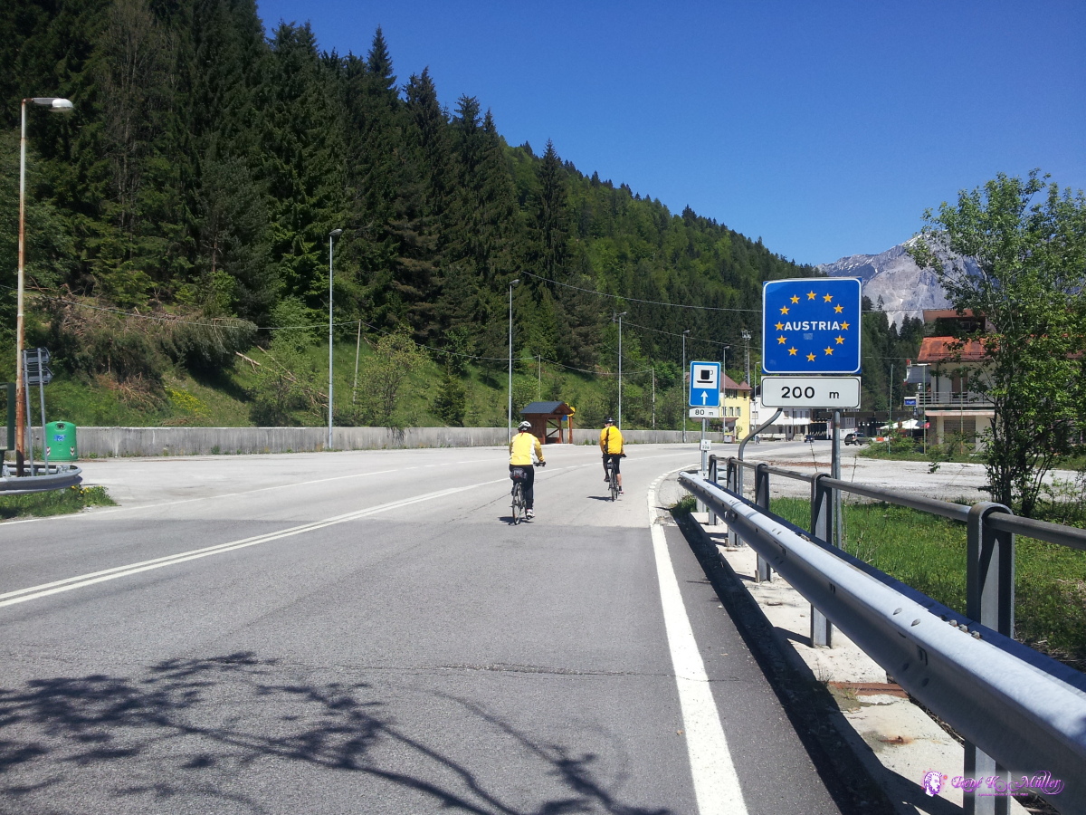 2014/05/05 12:11  2014/05/05 12:41  2014/05/05 15:51  2014/05/05 16:17 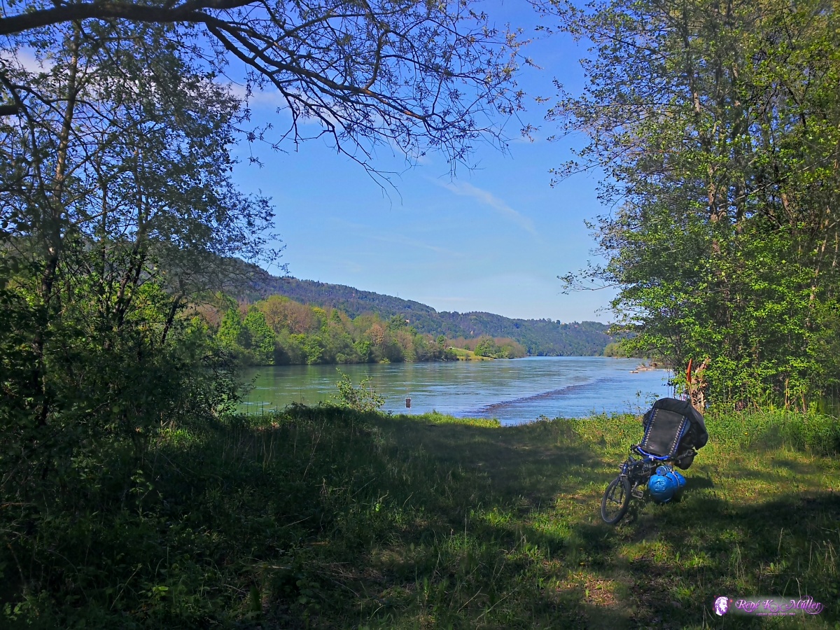 2014/05/05 16:17  2014/05/05 16:37  2014/05/05 16:38 May 06, 2014: Ferlach - Voelkermarkt - St. Andre - Wolfsberg - St. Leonhard 111km (7:15) 2740kmI head direction to Ferlach further, along the River Drau until Voelkermarkt, all bicycle path, but unexpectectly quite hilly path. Ascending to the Griffen at 795m, a brief descend and another ascend until I descend into the valley of Lavant, where I find no good places to camp, so I continue through Wolfsberg and then the narrow valley or canyon until I hreach St. Leonhard, where I find a place in the midst of the village almost - but I'm tired to look for another place so I stay there. 2014/05/06 09:54  2014/05/06 11:32  2014/05/06 11:46 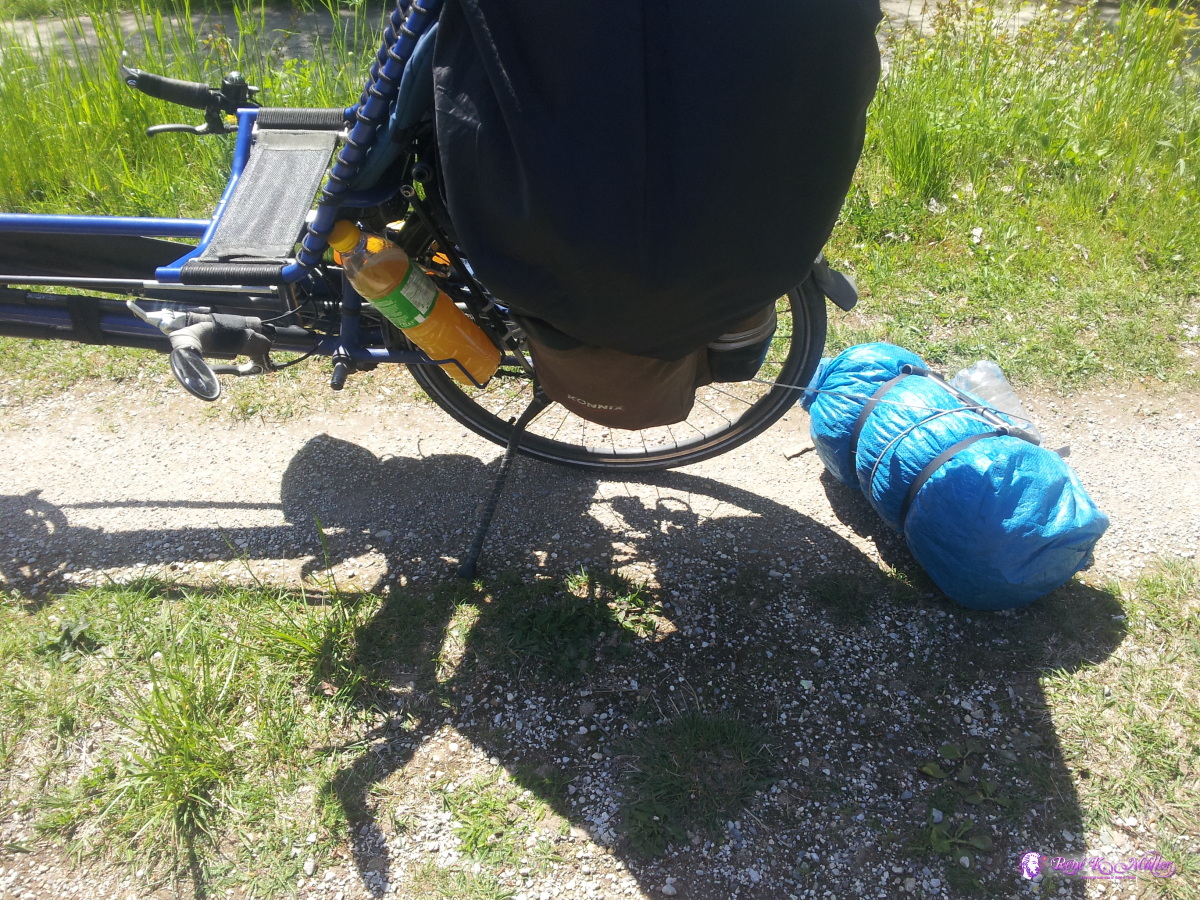 Secure cord keeps baggage after it got loose 2014/05/06 11:51 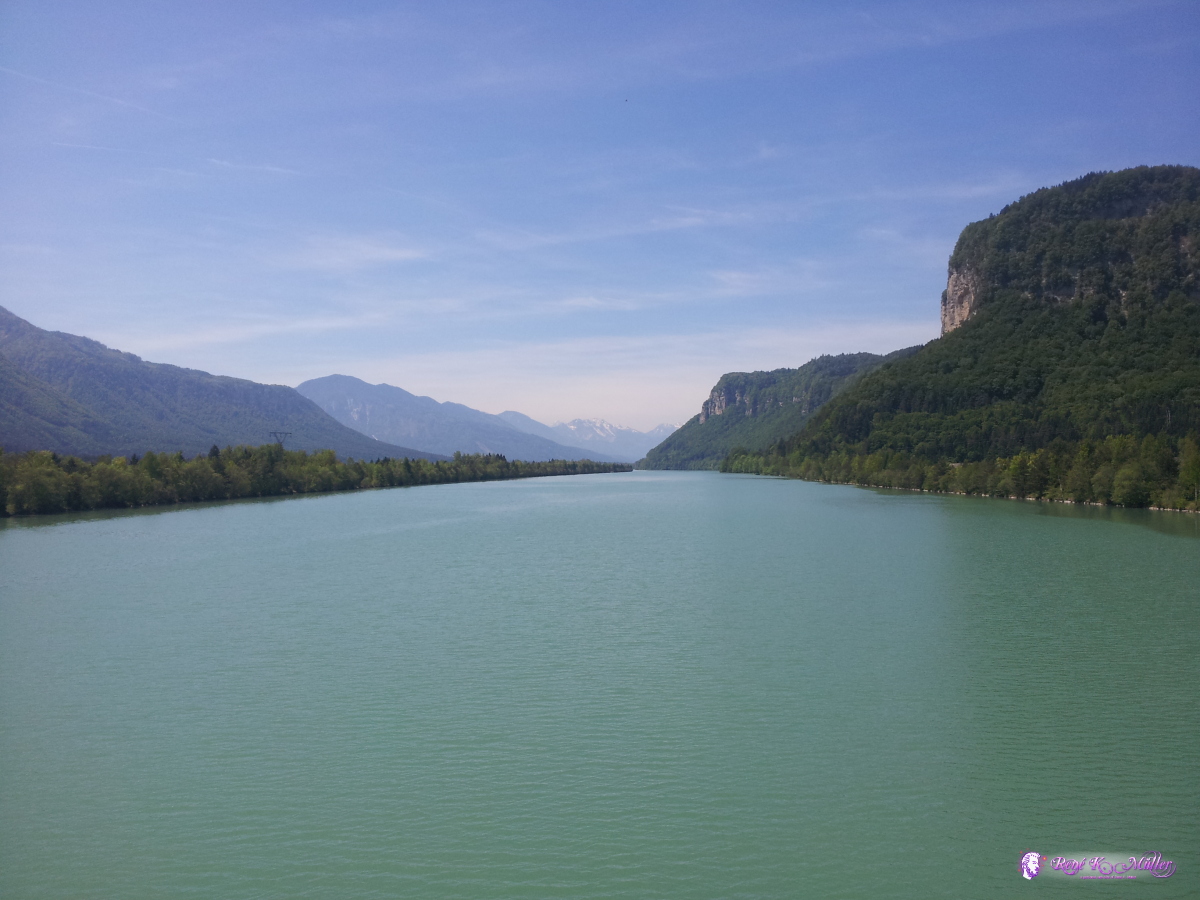 2014/05/06 12:44 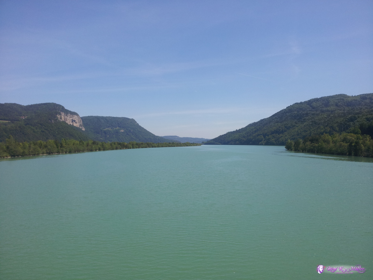 2014/05/06 12:44 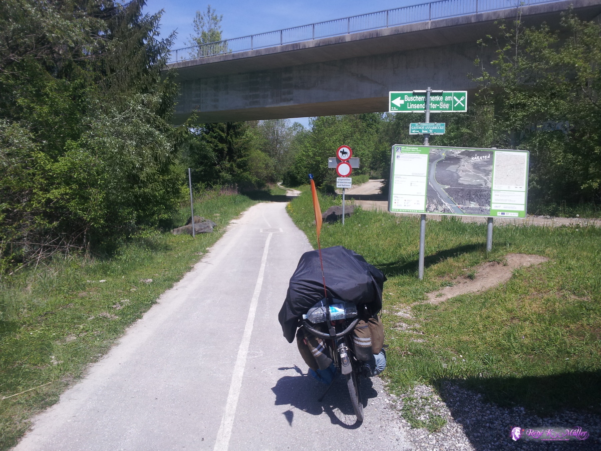 2014/05/06 13:12  2014/05/06 14:07  2014/05/06 14:55  2014/05/06 18:15 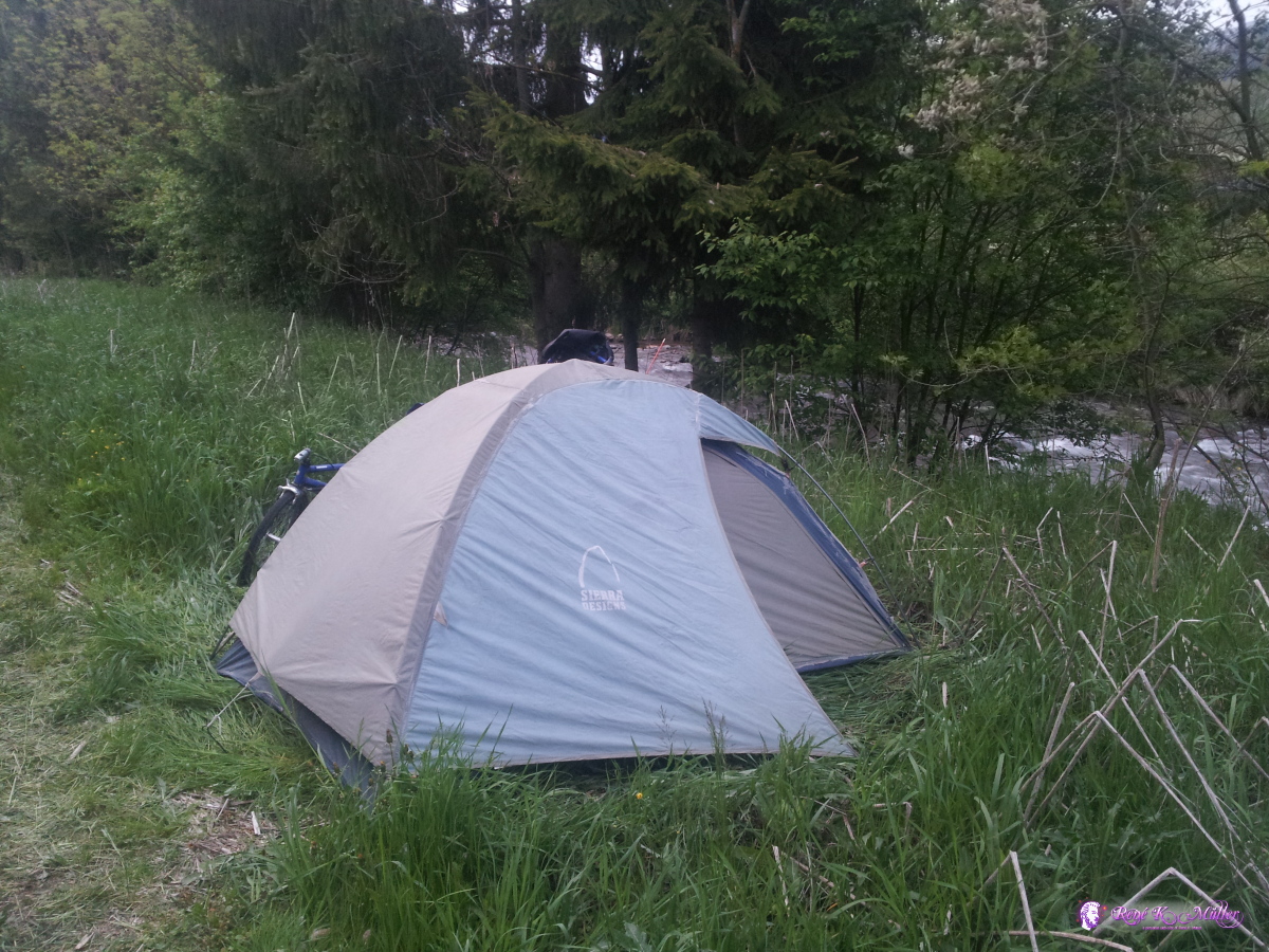 2014/05/06 20:09 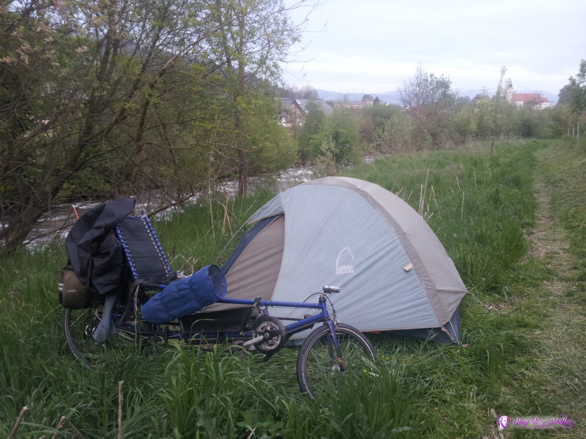 2014/05/06 20:09 May 07, 2014: St. Leonhard - Obdach - Zeltweg - Leoben 65km (3:55) 2805kmThe weather is misty and overcast, but I decide to ride as the place isn't ideal to stay, I ascend further to Obdach at 954m, a kind of pass, and descend into the valley of Mur, with the river with the same name, on low traffic roads I continue until short before Leoben.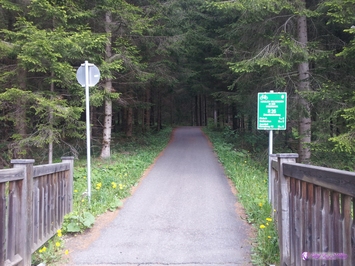 2014/05/07 09:37  2014/05/07 10:09  2014/05/07 11:14 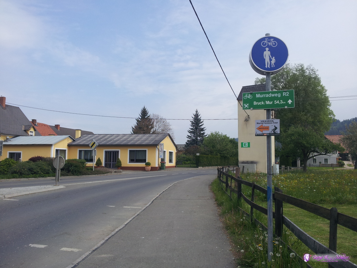 2014/05/07 11:51 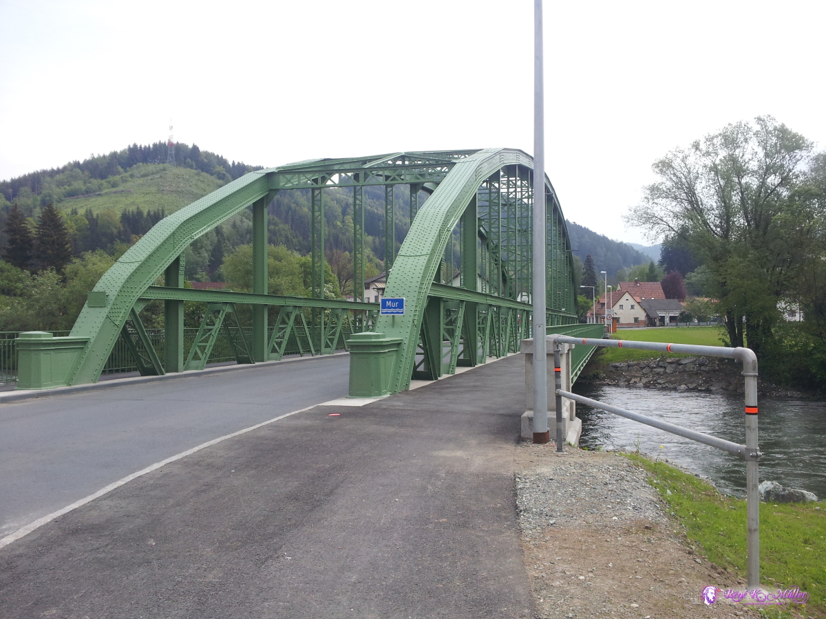 2014/05/07 11:58 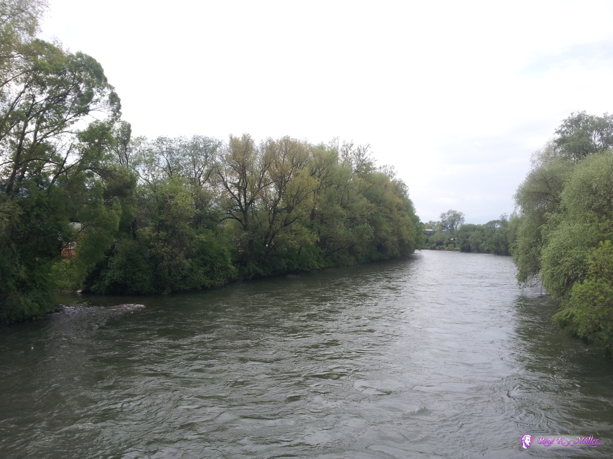 2014/05/07 11:58  2014/05/07 12:20  2014/05/07 16:28 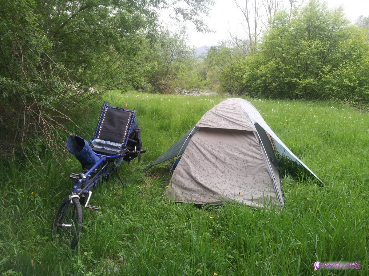 2014/05/07 16:28  2014/05/07 16:29 May 08, 2014: Leoben - Semmering (965m) - Gloggnitz 123km (7:13) 2928kmAfter 10km I hear a loud brief noise like a collapse, I thought a spoke broke, but I continue until the back wheel slowly wobbles and I realize that I need to find a repair shop to fix it. I take the wheel out, and see it's not the spoke, but the hub which broke - a entire new wheel is required (using the wheel but a new hub would require too much time for the shop) - Euro 115 for an XT wheel, same tire and inflate, after 15 mins it's all done and I continue. A nice ascend toward the Semmering, but then the last village of Steinhaus, the road goes straight for apprx. 500m at over 10%, whereas the normal road nicely winds with less steepness. Once I arrived at the pass of 965m elevation, I decide to descend as I would expect the night and morning to be quite chilly - so I continue the partially steep descend until Gloggnitz, a few kilometers outside I find a place near the river Schwarza.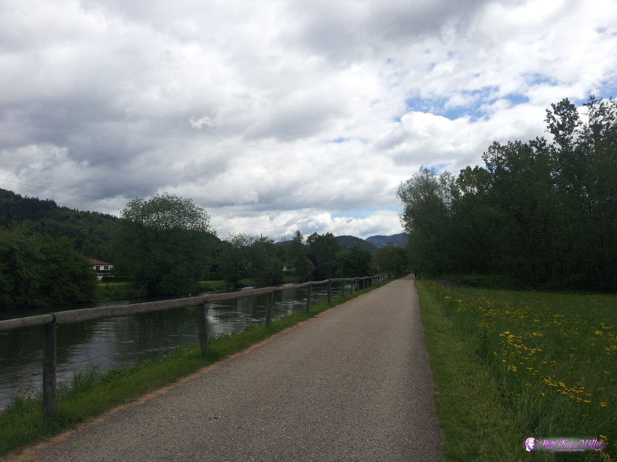 2014/05/08 11:01  Broken wheel hub (28" back wheel) 2014/05/08 12:50 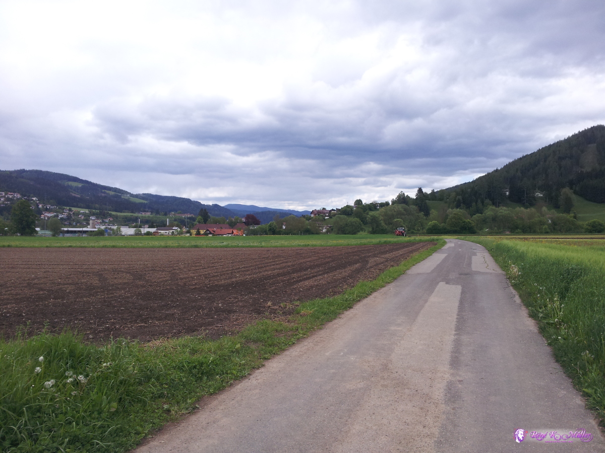 2014/05/08 14:45 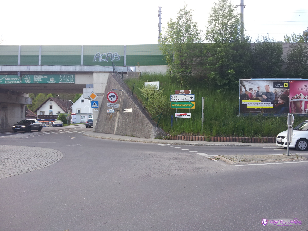 2014/05/08 17:01 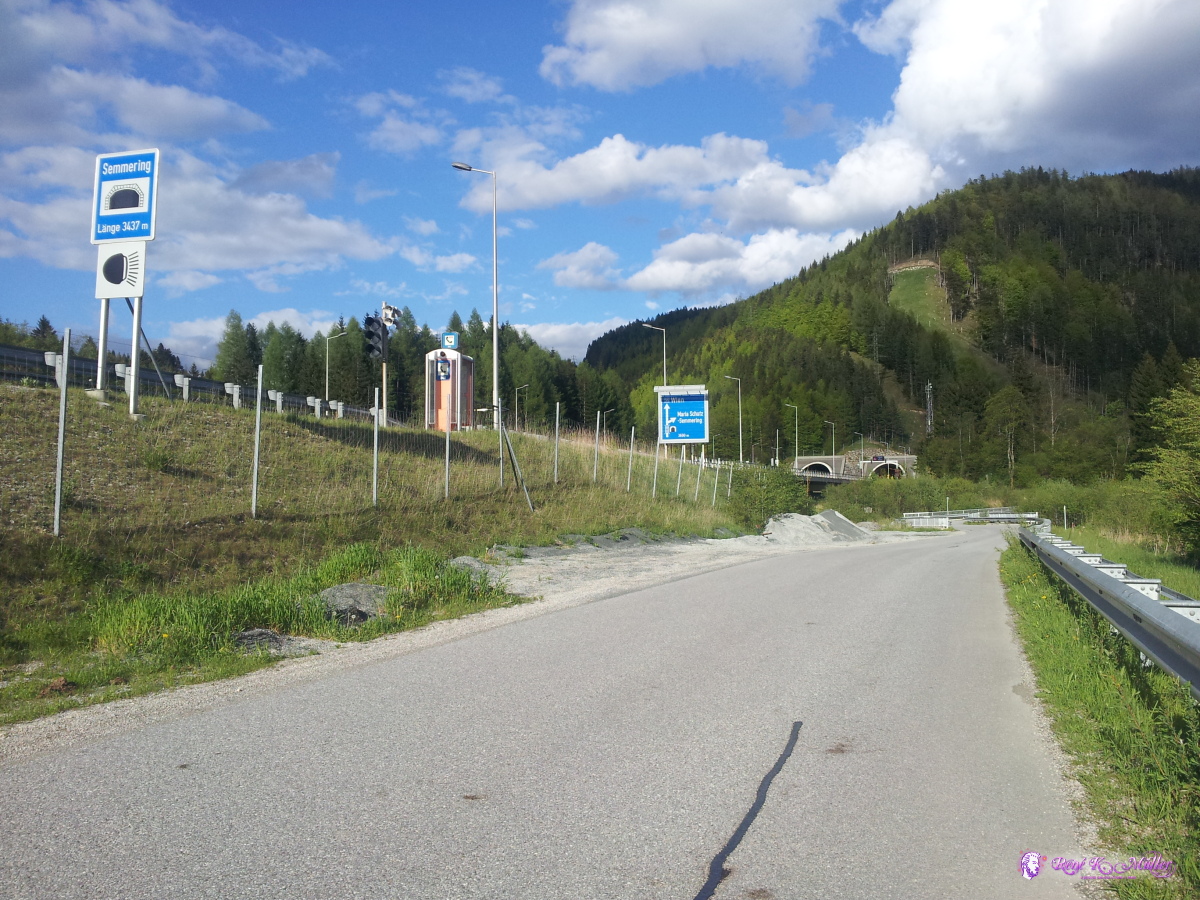 2014/05/08 18:02  2014/05/08 18:17 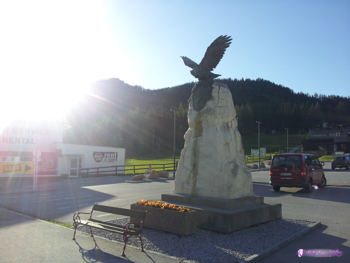 Semmering (965m) 2014/05/08 18:41 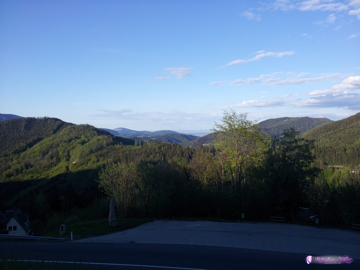 2014/05/08 18:46  2014/05/08 19:58  2014/05/08 19:58  2014/05/08 19:58 Content:
|