
|
"God grant me the serenity to accept the things I cannot change; courage to change the things I can; and wisdom to know the difference."
Reinhold Niebuhr |
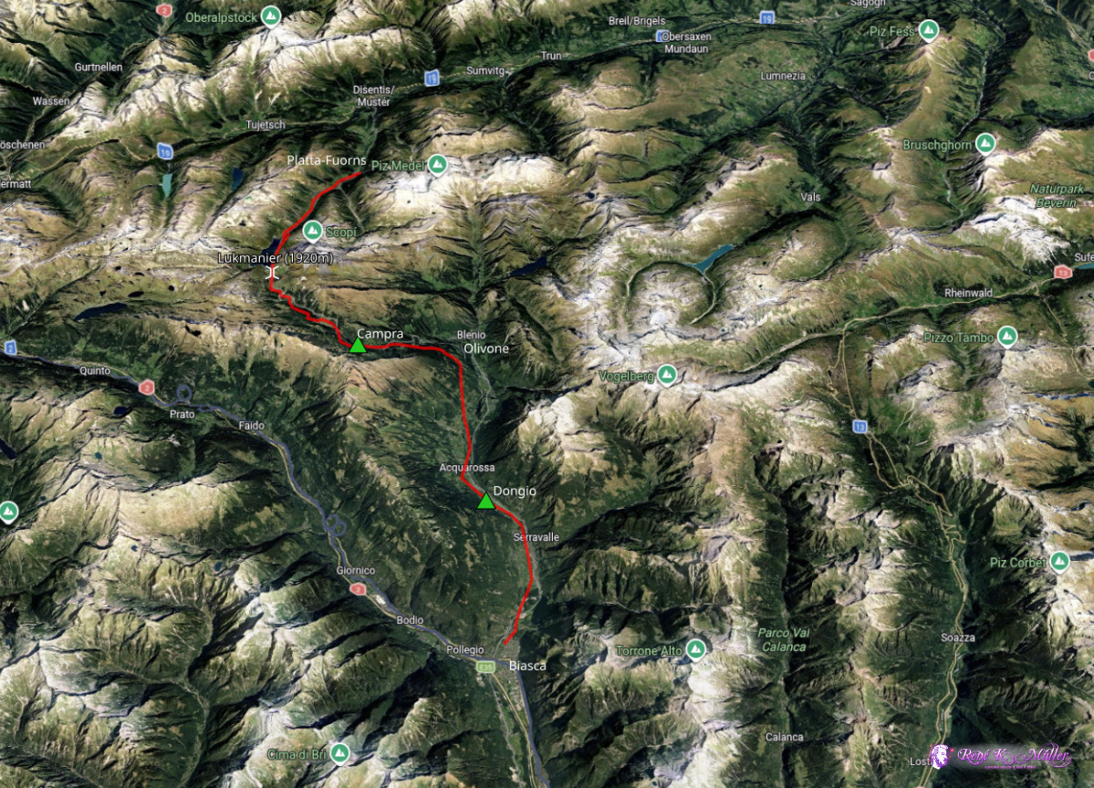
2026: Various Hikes / Tours3 Days Hike April 2026: Disentis/Platta - Lukmanier - Biasca
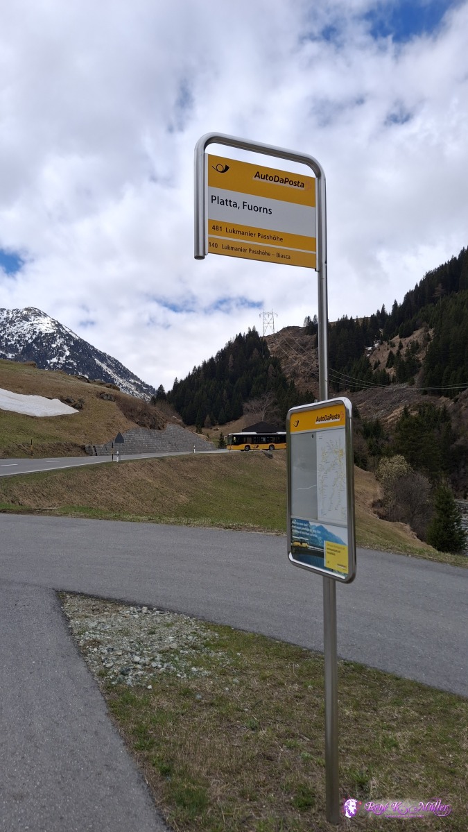
After the last hike of Strada Alta, I saw that much of the snow is already gone; and after looking at some webcam of the region, I decided to give this route a try - there was no definitive assurance I would be able to traverse the planned route. Thursday 2026/04/14: Disentis/Platta - Lukmanier - CampraI arrived ~11:40 at Platta, Fuorns by bus, the endstation (during summer it goes to Lukmanier and down to Olivone, but not spring time), a bit higher than Disentis (+300Hm) and follow the river Rein de Medel (a side arm of the Rhein) and encounter one passage with 3-4m high snow, the snow is semi compact, so I can walk and sink in occassionally to the knee or even the hip, but most of the trail is snow free and only snow on the side. The valley is beautiful - rather flat and everywhere patches of snow, strong cold northwind, and get stronger the higher I get.
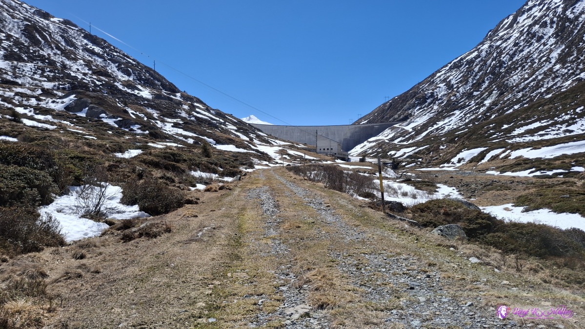
 ◈ Fuorns, Medel (Lucmagn) (Δ 1498m), 2026/04/16 11:41 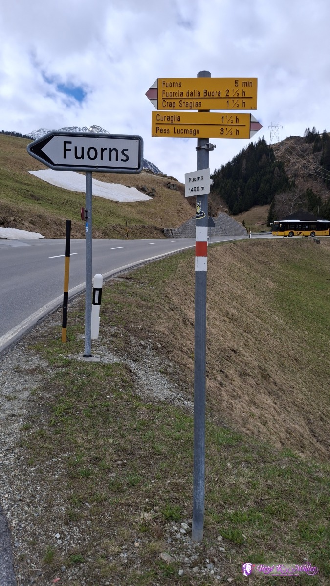 ◈ Pardé, Medel (Lucmagn) (Δ 1510m), 2026/04/16 11:41 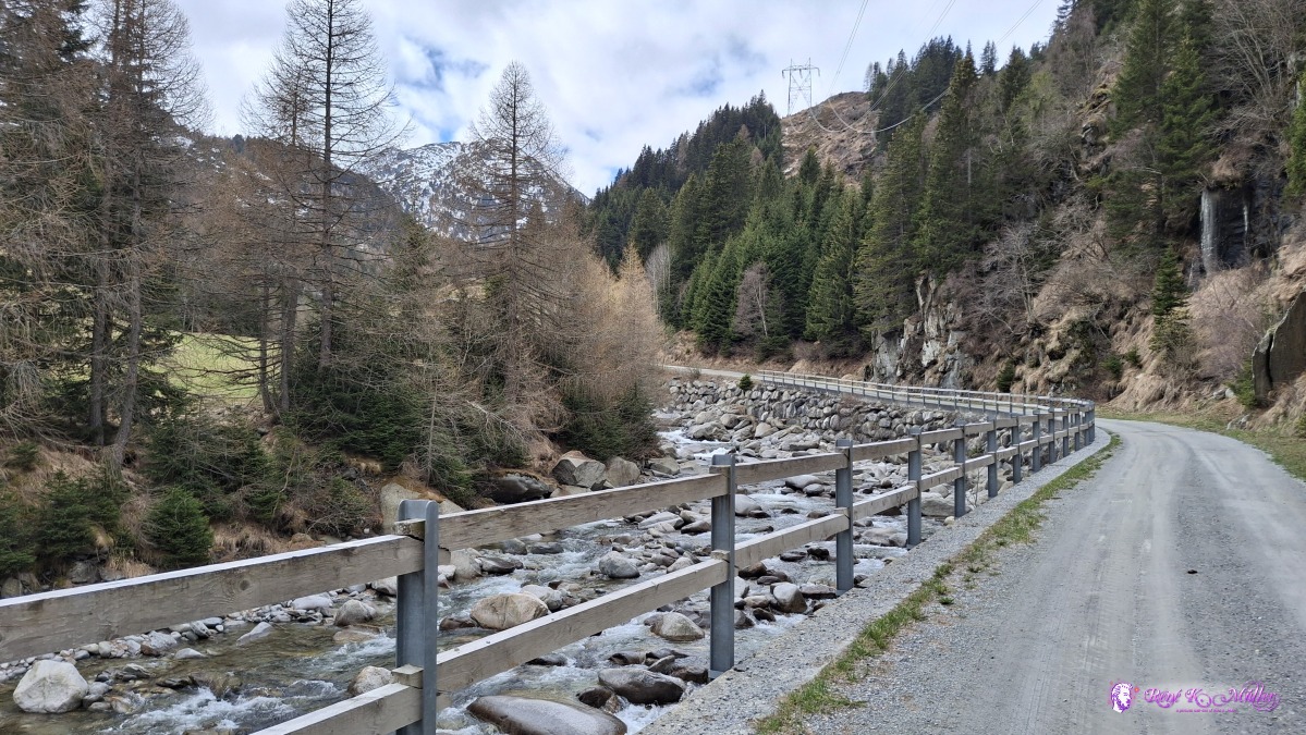 ◈ Fuorns, Medel (Lucmagn) (Δ 1498m), 2026/04/16 11:44 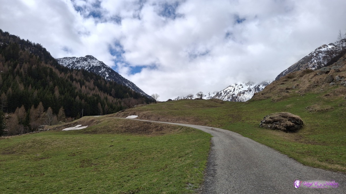 ◈ Surtatschas, Medel (Lucmagn) (Δ 1527m), 2026/04/16 11:52 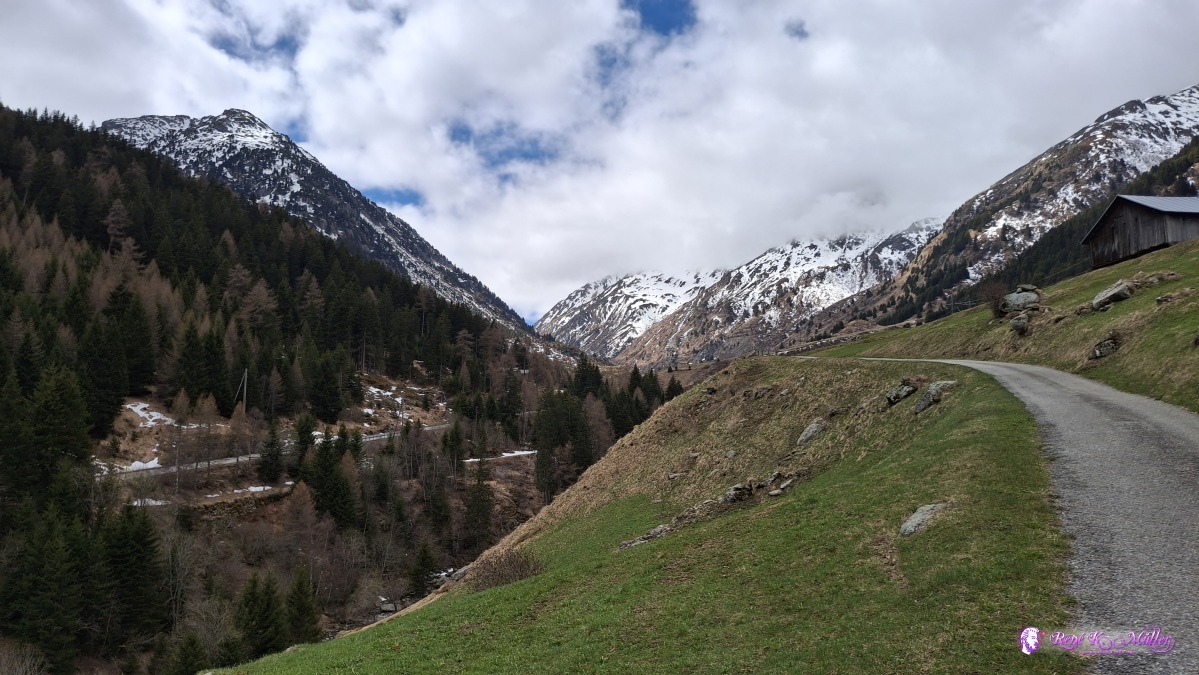 ◈ Surtatschas, Medel (Lucmagn) (Δ 1564m), 2026/04/16 11:55 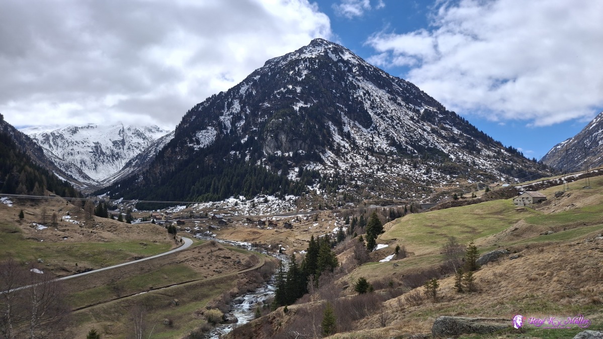 2026/04/16 12:11 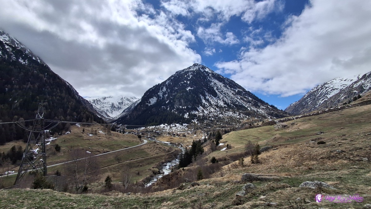 ◈ Aussichtsplattform, Pardatsch Dadens, Medel (Lucmagn) (Δ 1647m), 2026/04/16 12:11 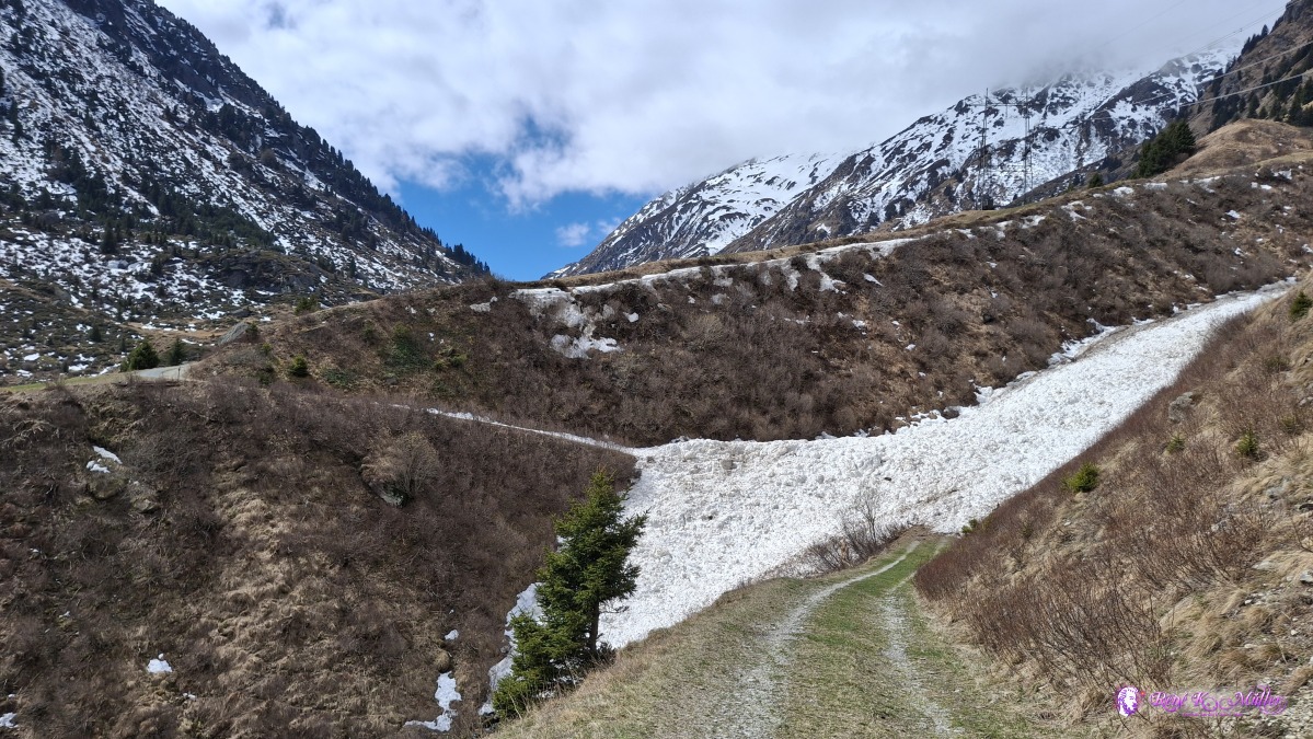 2026/04/16 12:17 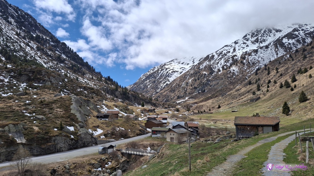 2026/04/16 12:25 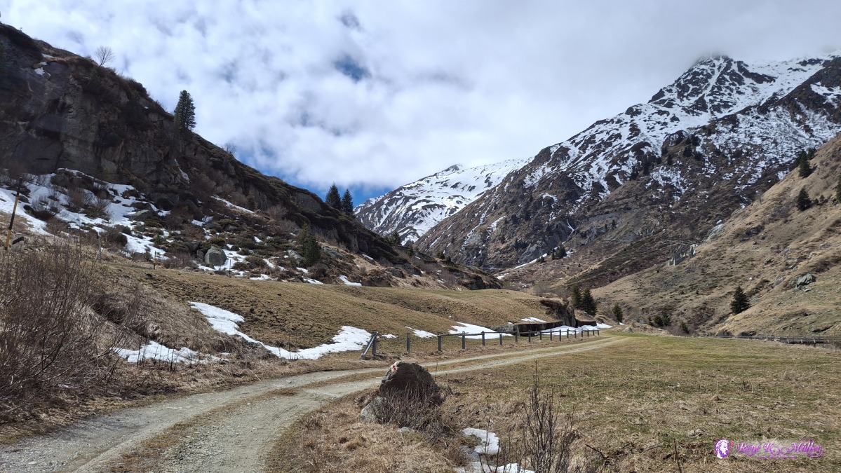 ◈ Sogn Gions, Medel (Lucmagn) (Δ 1652m), 2026/04/16 12:33 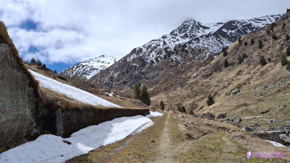 ◈ Sogn Gions, Medel (Lucmagn) (Δ 1660m), 2026/04/16 12:35 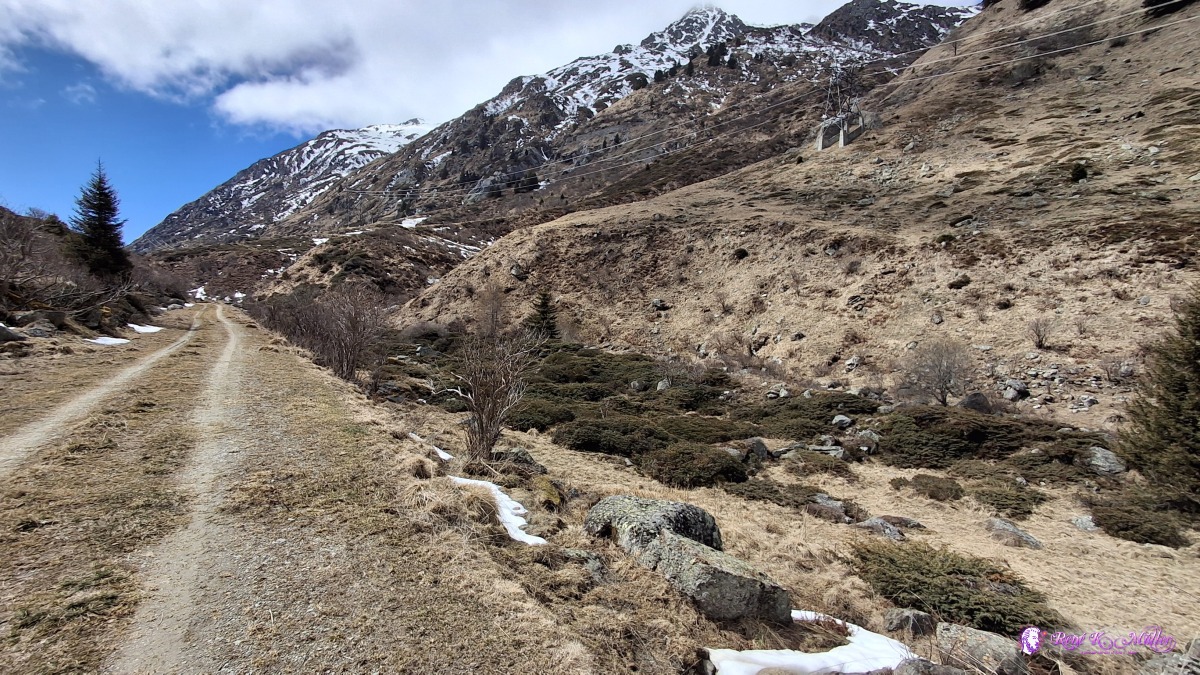 ◈ Sogn Gions, Medel (Lucmagn) (Δ 1674m), 2026/04/16 12:39 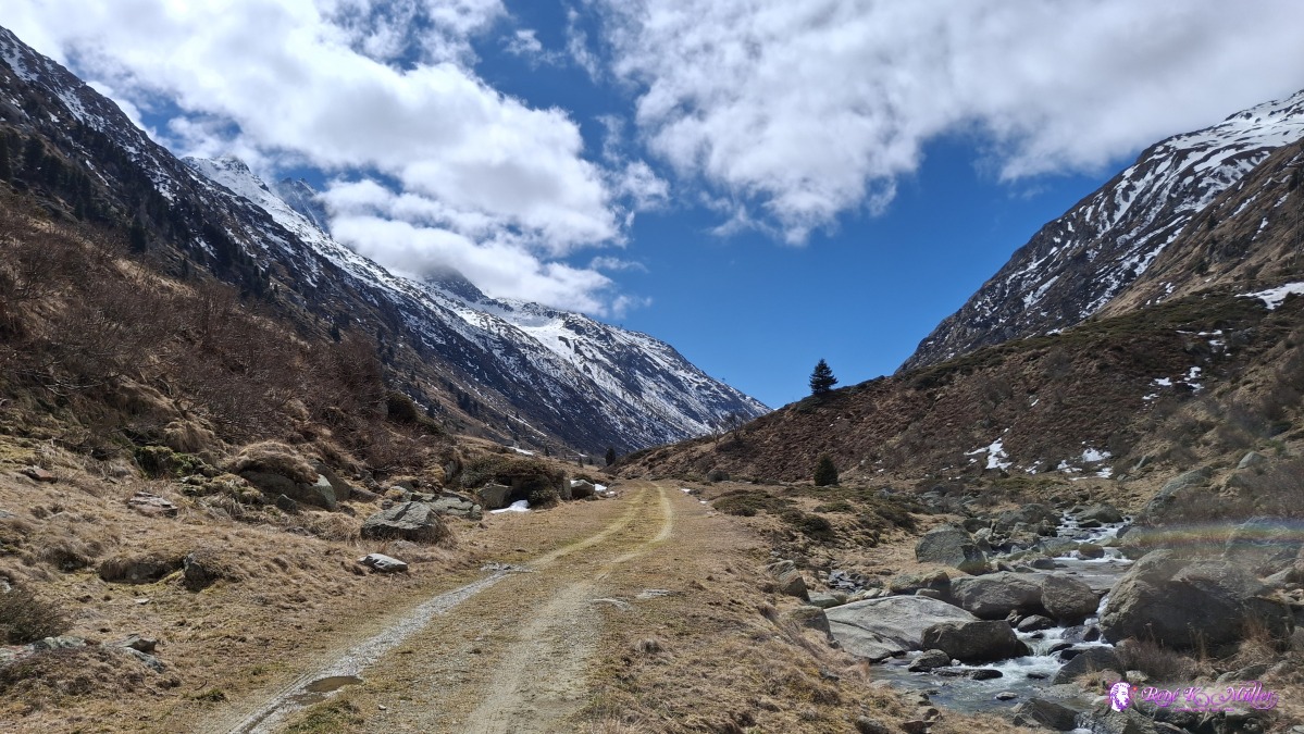 ◈ Sogn Gions, Medel (Lucmagn) (Δ 1681m), 2026/04/16 12:42 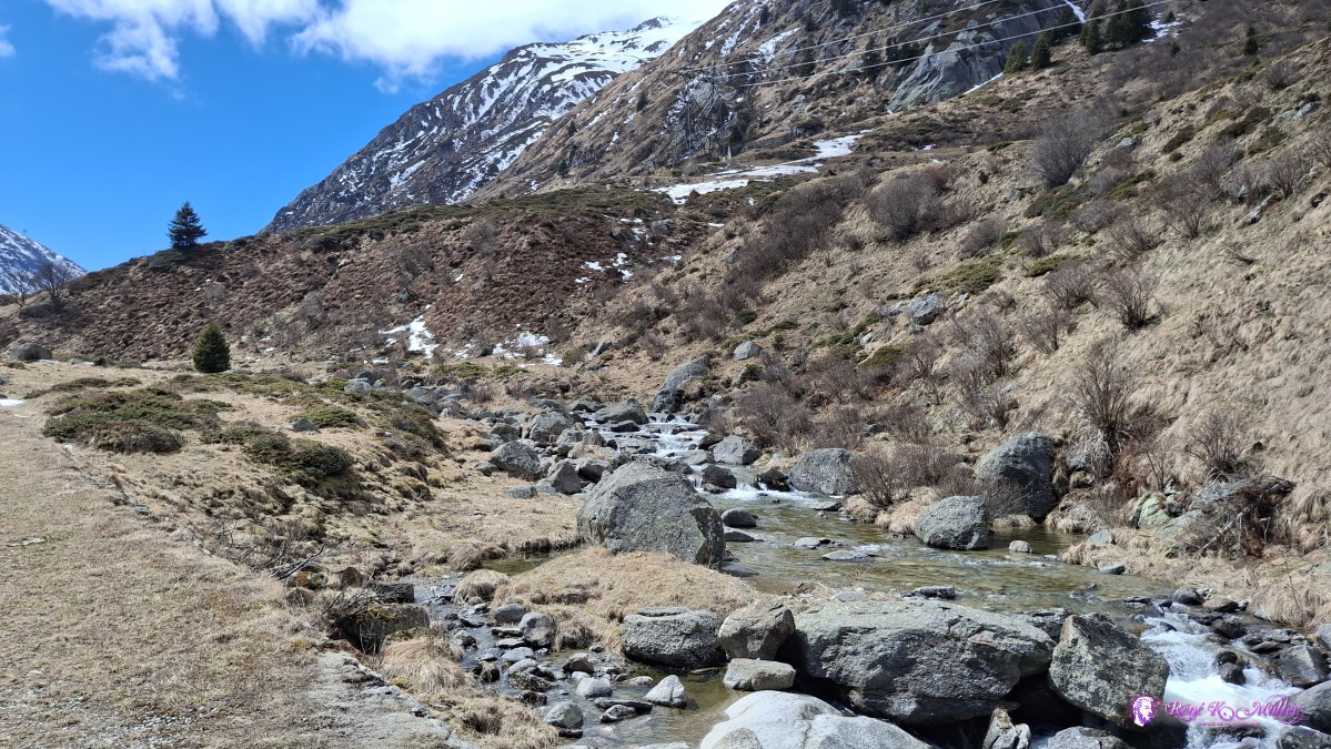 ◈ Sogn Gions, Medel (Lucmagn) (Δ 1683m), 2026/04/16 12:44 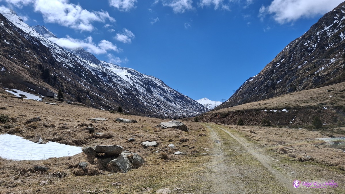 2026/04/16 12:52  ◈ Sogn Gions, Medel (Lucmagn) (Δ 1703m), 2026/04/16 12:56 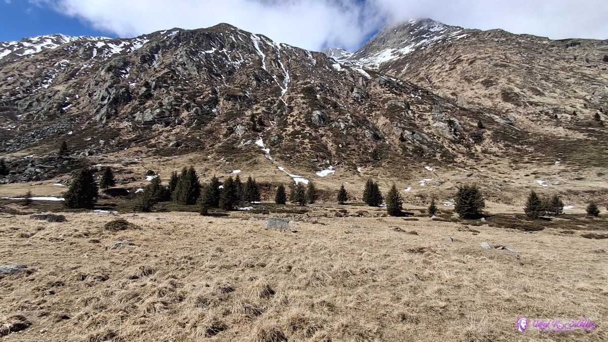 ◈ Sogn Gions, Medel (Lucmagn) (Δ 1740m), 2026/04/16 13:00 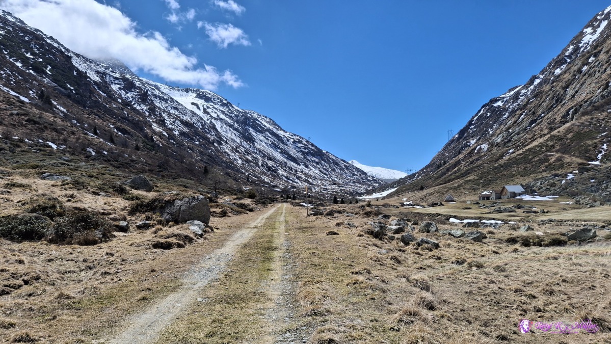 ◈ Sogn Gions, Medel (Lucmagn) (Δ 1740m), 2026/04/16 13:00 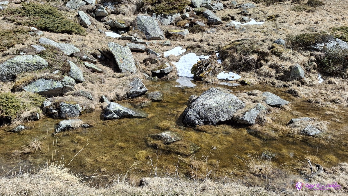 2026/04/16 13:22 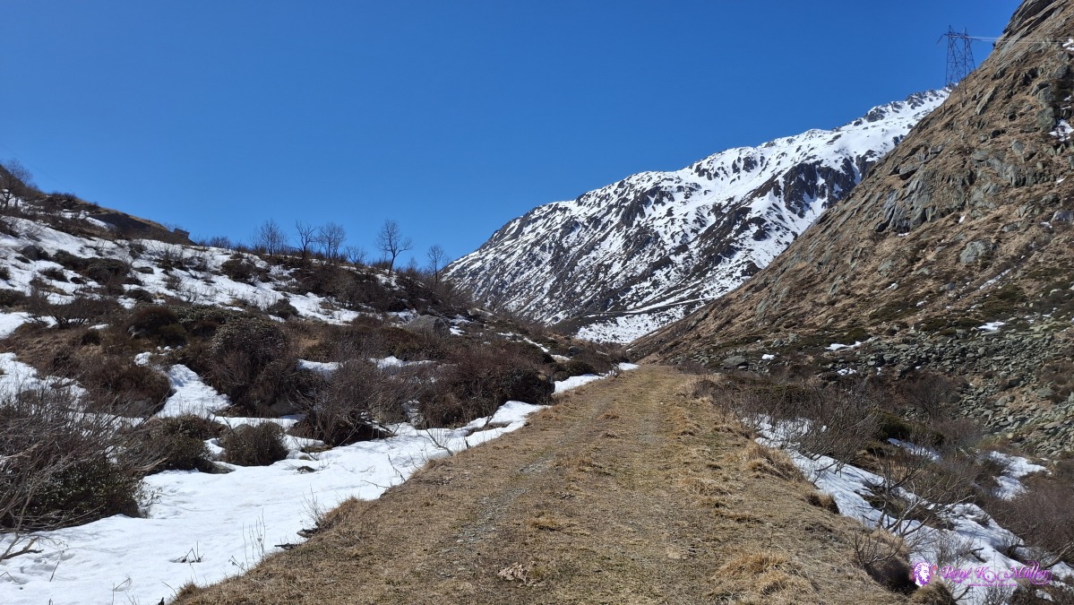 ◈ Medel (Lucmagn) (Δ 1812m), 2026/04/16 13:38 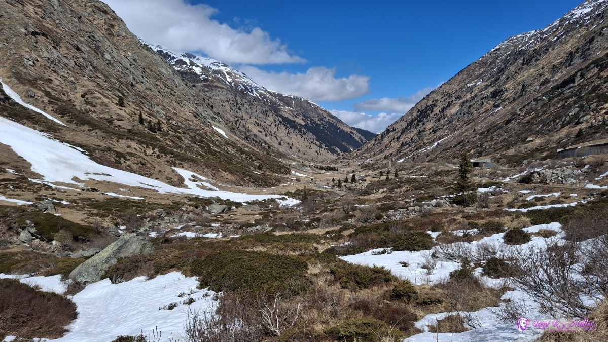 ◈ Medel (Lucmagn) (Δ 1805m), 2026/04/16 13:38 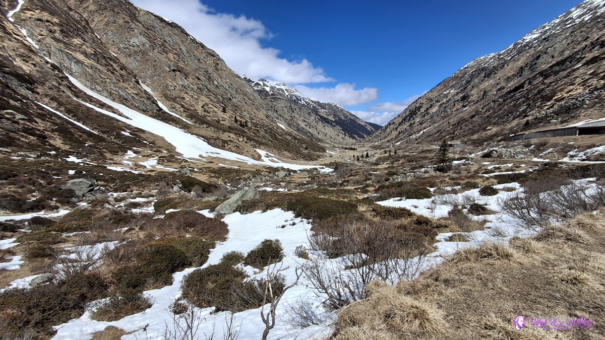 ◈ Medel (Lucmagn) (Δ 1808m), 2026/04/16 13:38 Soon I spot the dam wall, and the official trail is heavily snow covered, I could walk on it, but very slowly, with a slight risk to slip - so I divert to the main road, where little traffic (once a car or motorbike every 10-15mins only, quite unusual), and walk toward the main avalance gallery, and it's partially snow covered, that's the hiking trail and luck is on my side, I can hike on it with some narrow passages, the snow is dense but soft during early afternoon already - so every step on the snow while on the avalance gallery is taken with caution. Eventually the long gallery ends, aside of the artificial lake with very low water line - it's a bizarre view. Usually I don't like the Lukmanier pass (1920m) because it's constant under development, a lot of machinery just sitting around like in urban area, but this is a pass and a place of beauty to be. Interestingly, before and just after the pass and the artificial lake, the nature is most beautiful, truly awesome, awe inducing sight - where humans did not interfer, beauty thrives. The cold wind is strong, it feels like 2-3°C in the sun, perhaps a bit higher without the wind - so it's already 15:00 as I reach the official pass of Lukmanier, which is a bit lower than the avalance gallery path - and I reach the valley of Blenio now, leaving Grison and entering Ticino. I can't wait too long, as I need to reach lower region for tonight, and it's also not yet certain if I can follow the hiking trail or need to find alternatives, so no rest at the pass.
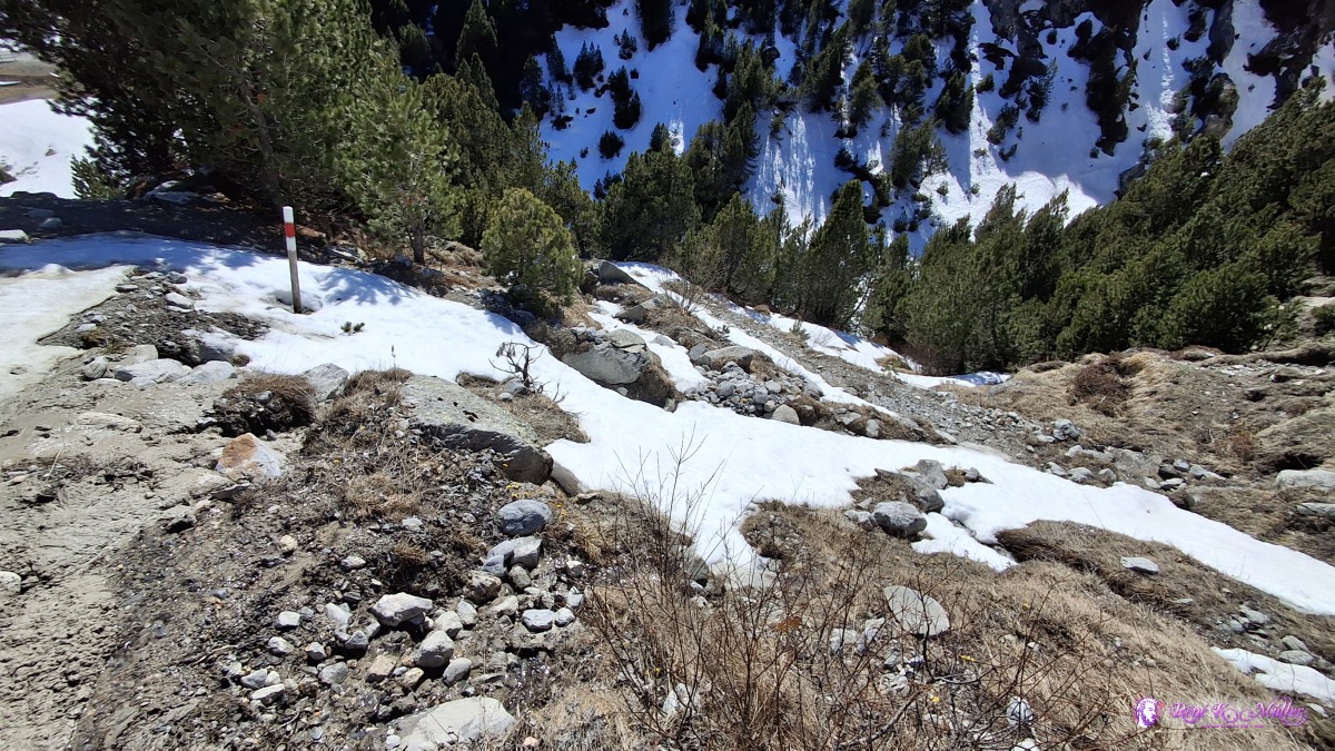
 ◈ Medel (Lucmagn) (Δ 1828m), 2026/04/16 13:47 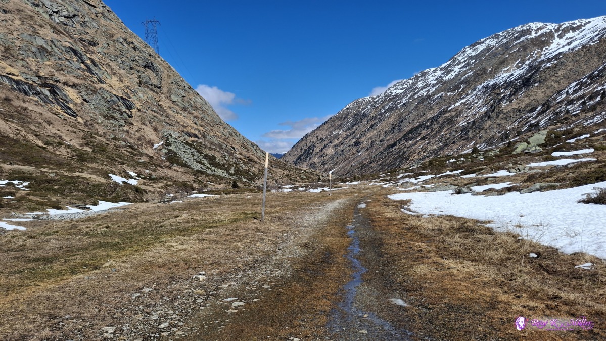 ◈ Medel (Lucmagn) (Δ 1867m), 2026/04/16 13:51 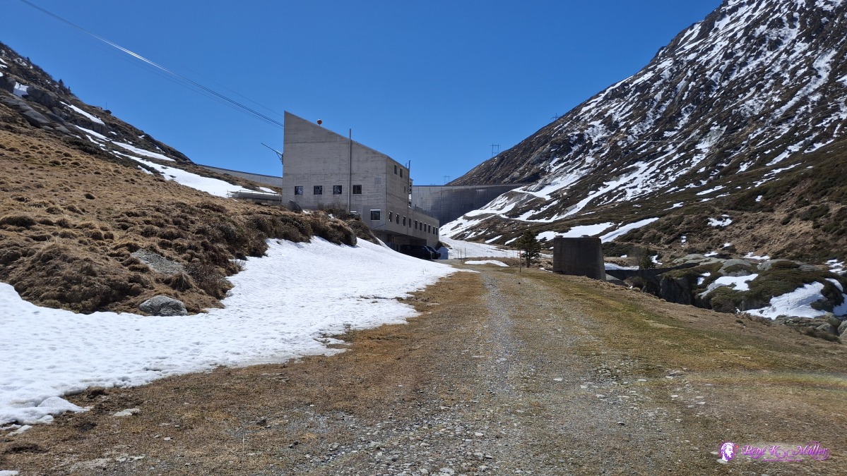 ◈ Medel (Lucmagn) (Δ 1834m), 2026/04/16 13:51 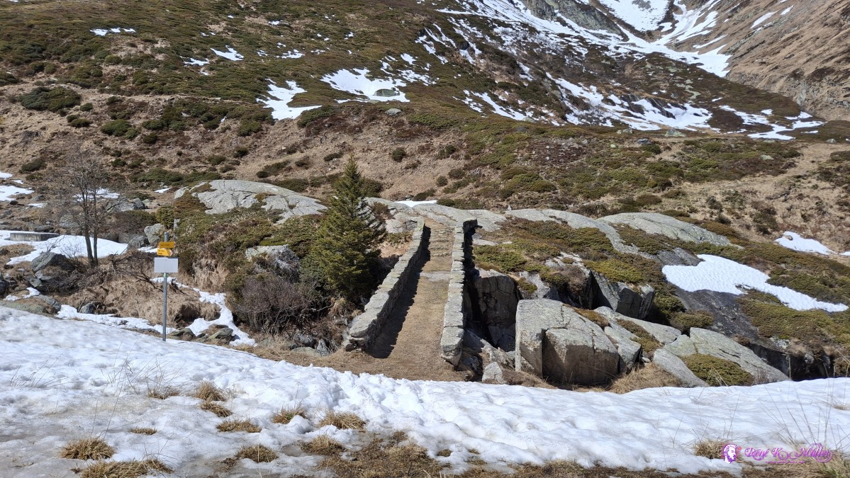 ◈ Medel (Lucmagn) (Δ 1840m), 2026/04/16 13:53 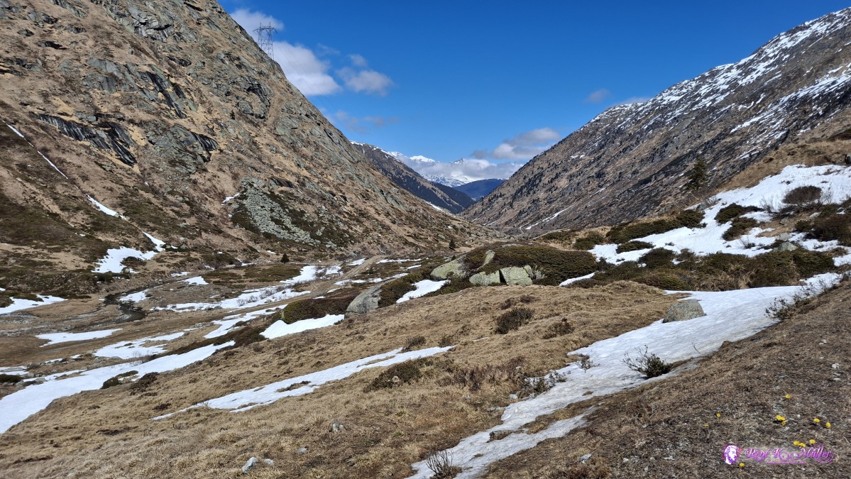 ◈ Medel (Lucmagn) (Δ 1860m), 2026/04/16 13:57 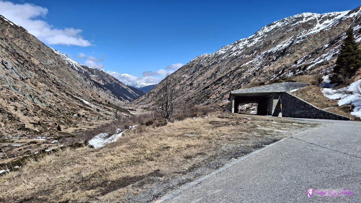 ◈ Medel (Lucmagn) (Δ 1877m), 2026/04/16 14:00 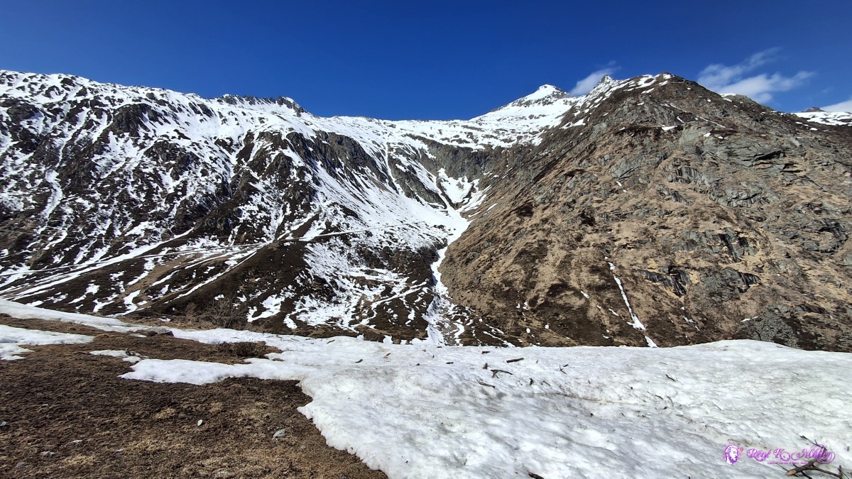 2026/04/16 14:07 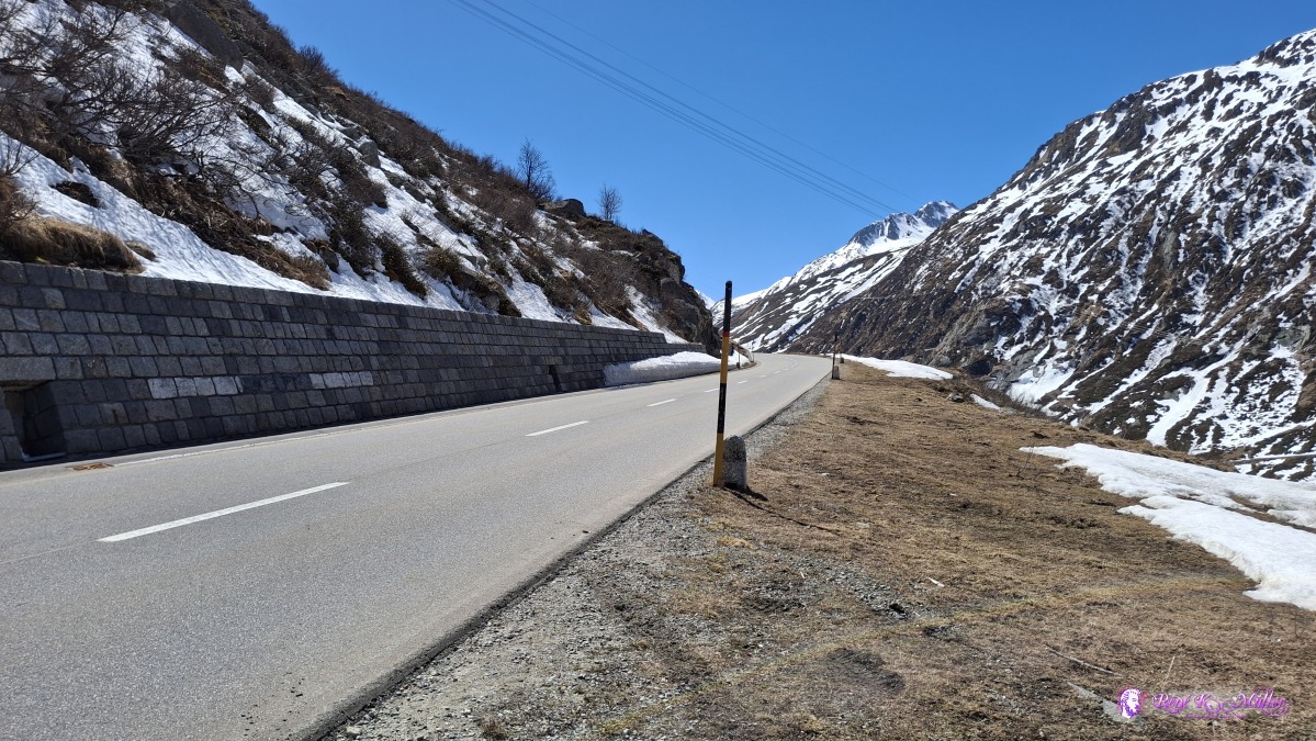 ◈ Medel (Lucmagn) (Δ 1923m), 2026/04/16 14:08 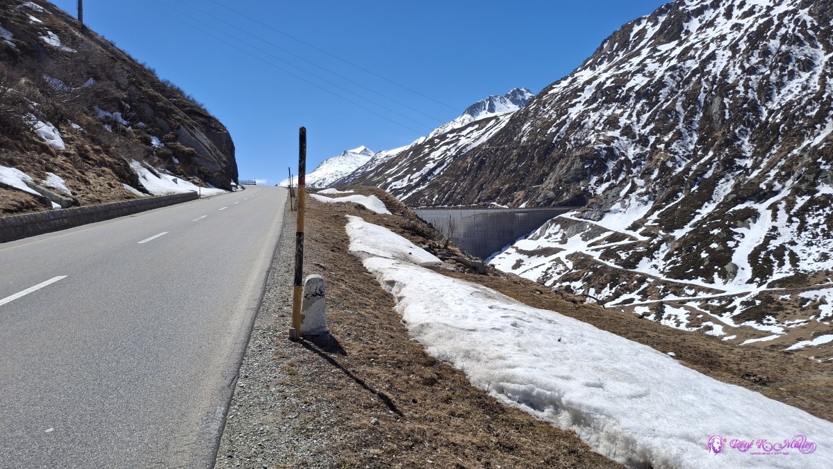 2026/04/16 14:11 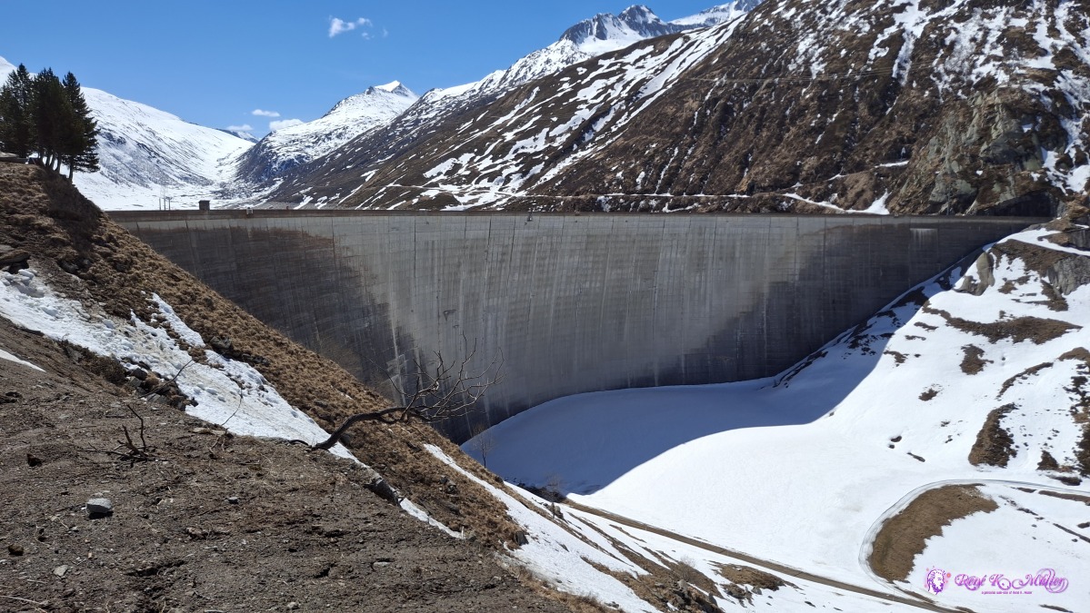 2026/04/16 14:16 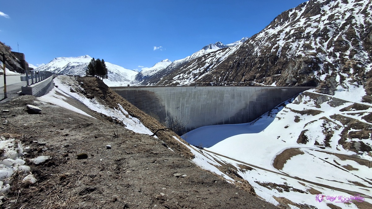 ◈ Medel (Lucmagn) (Δ 1954m), 2026/04/16 14:16 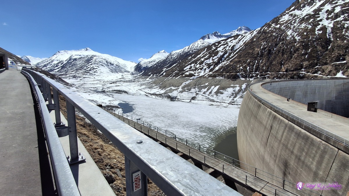 ◈ Medel (Lucmagn) (Δ 1977m), 2026/04/16 14:18 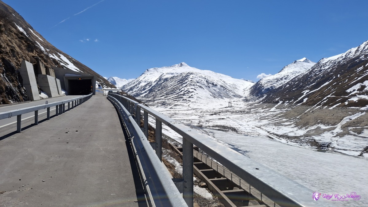 ◈ Medel (Lucmagn) (Δ 1977m), 2026/04/16 14:18 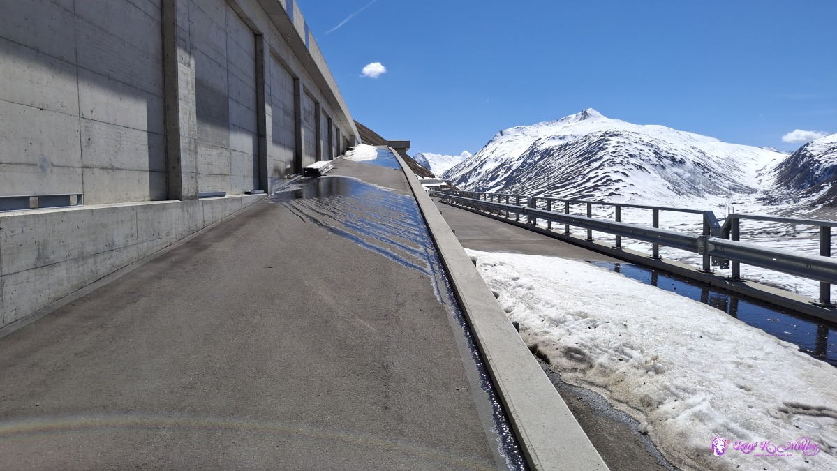 ◈ Medel (Lucmagn) (Δ 1971m), 2026/04/16 14:20 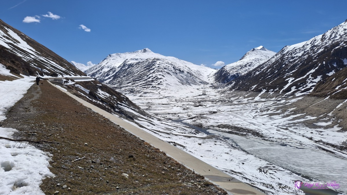 ◈ Medel (Lucmagn) (Δ 1958m), 2026/04/16 14:22 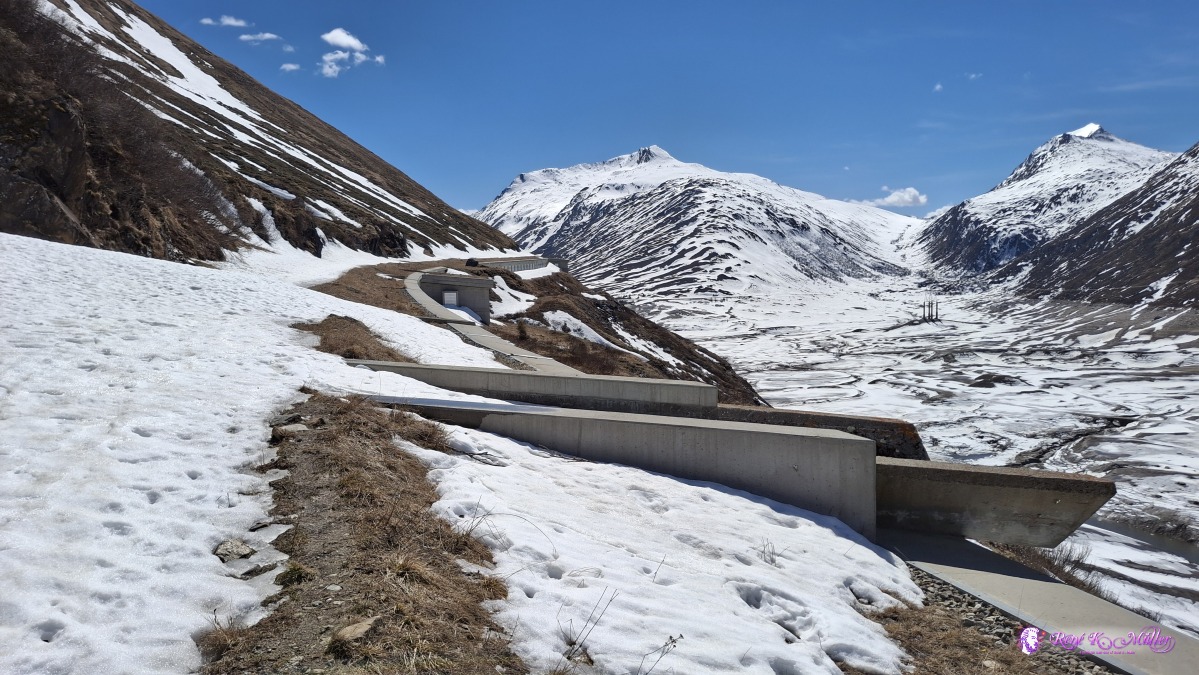 ◈ Medel (Lucmagn) (Δ 1988m), 2026/04/16 14:26 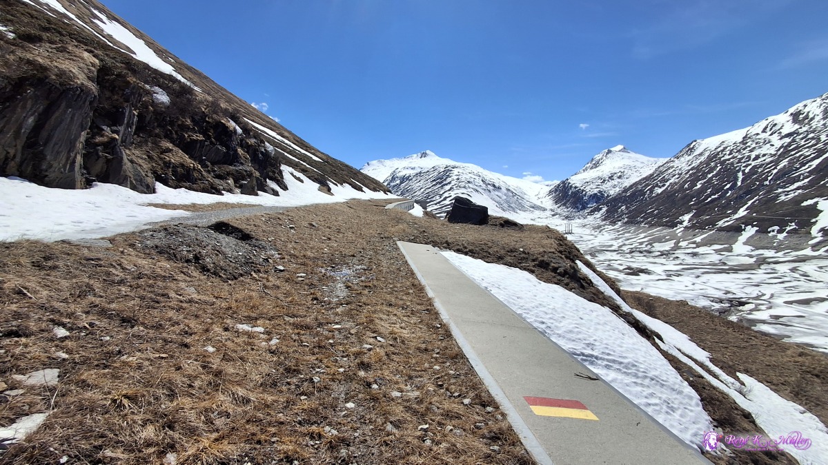 ◈ Medel (Lucmagn) (Δ 2001m), 2026/04/16 14:30 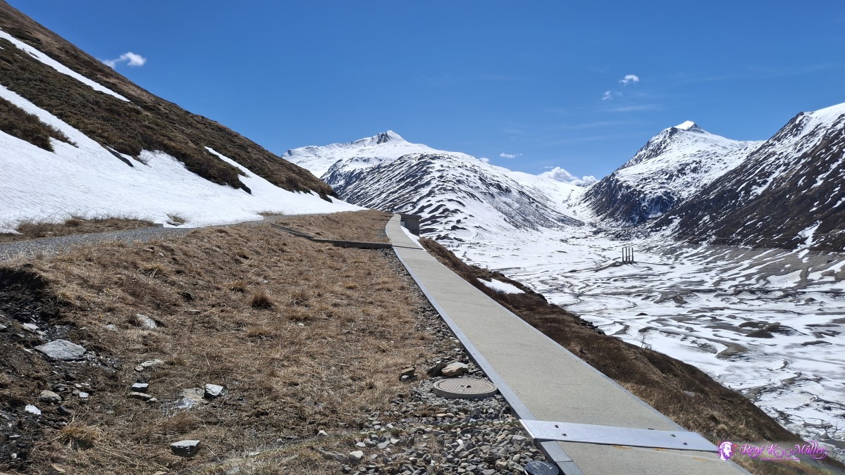 ◈ Medel (Lucmagn) (Δ 2006m), 2026/04/16 14:31 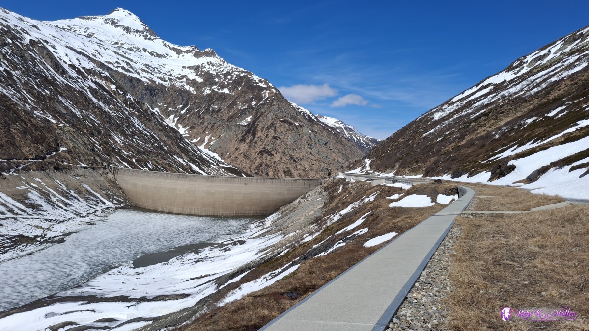 ◈ Medel (Lucmagn) (Δ 2013m), 2026/04/16 14:33 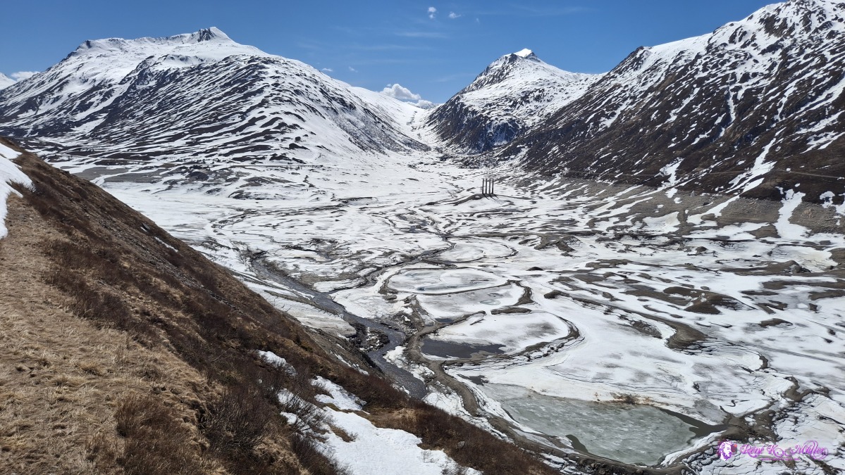 ◈ Medel (Lucmagn) (Δ 1998m), 2026/04/16 14:34 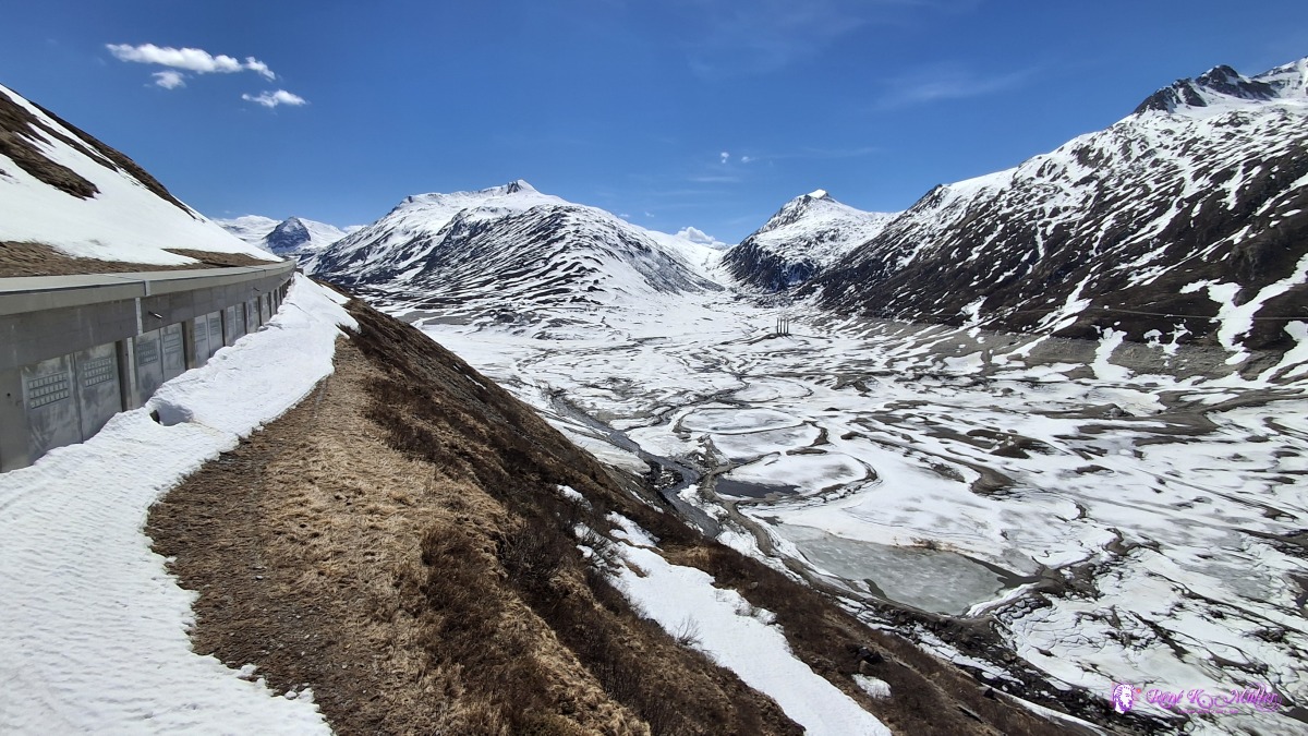 ◈ Medel (Lucmagn) (Δ 1998m), 2026/04/16 14:34 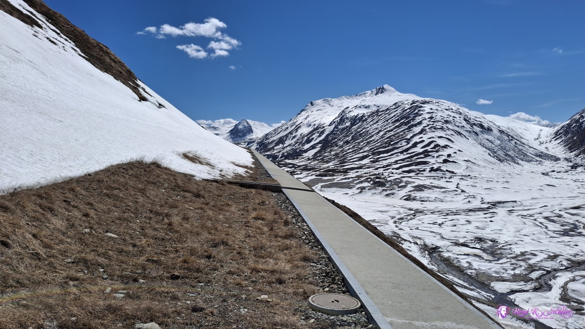 ◈ Medel (Lucmagn) (Δ 2019m), 2026/04/16 14:36 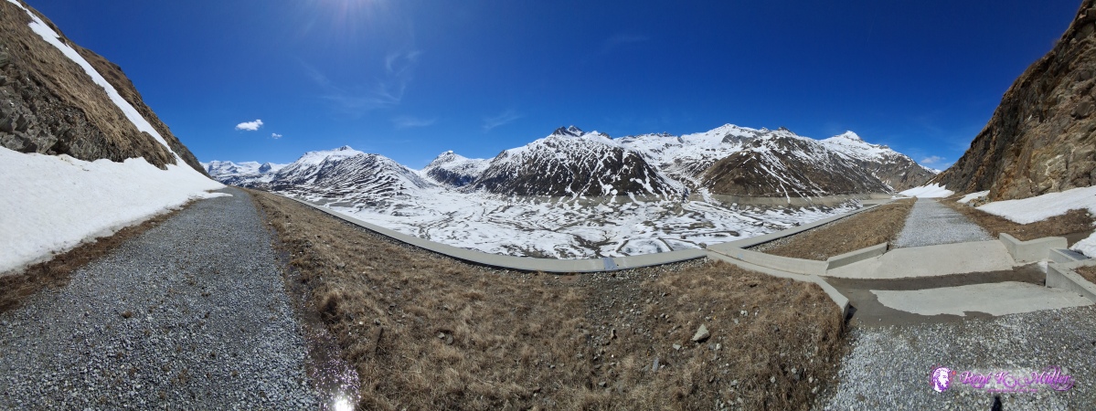 ◈ Medel (Lucmagn) (Δ 2025m), 2026/04/16 14:42 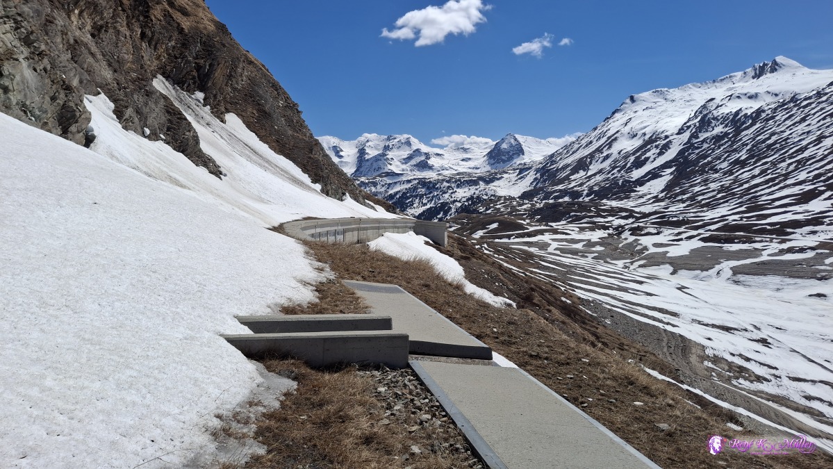 ◈ Medel (Lucmagn) (Δ 2023m), 2026/04/16 14:43 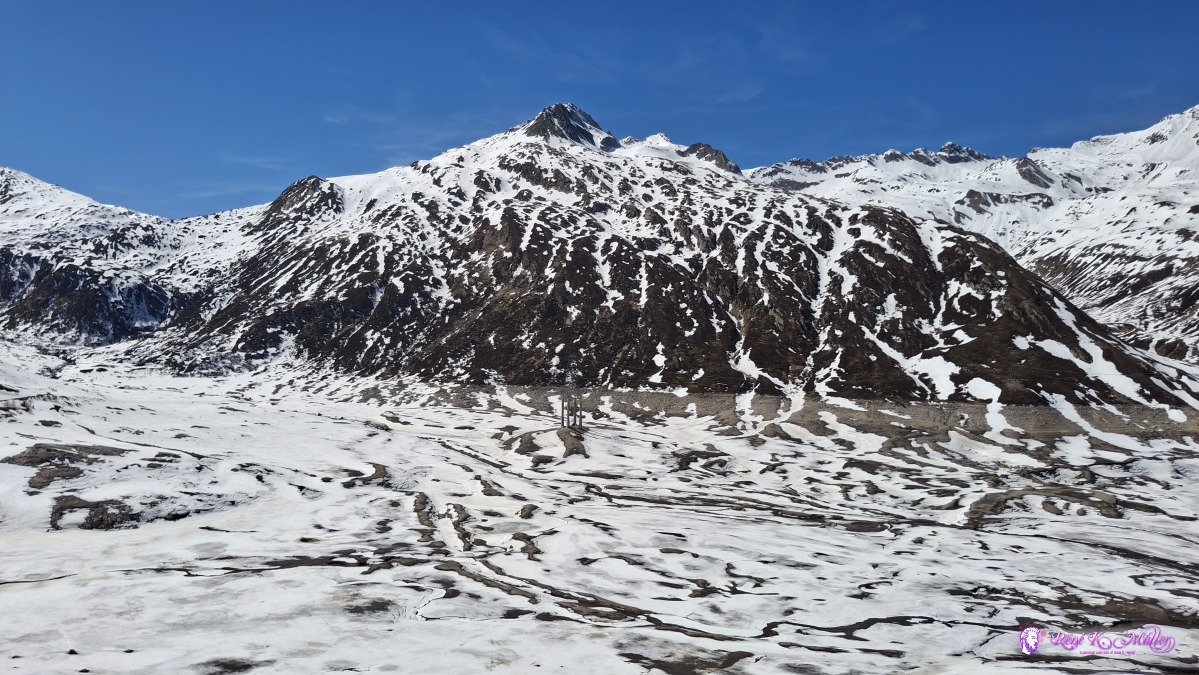 ◈ Medel (Lucmagn) (Δ 2017m), 2026/04/16 14:48 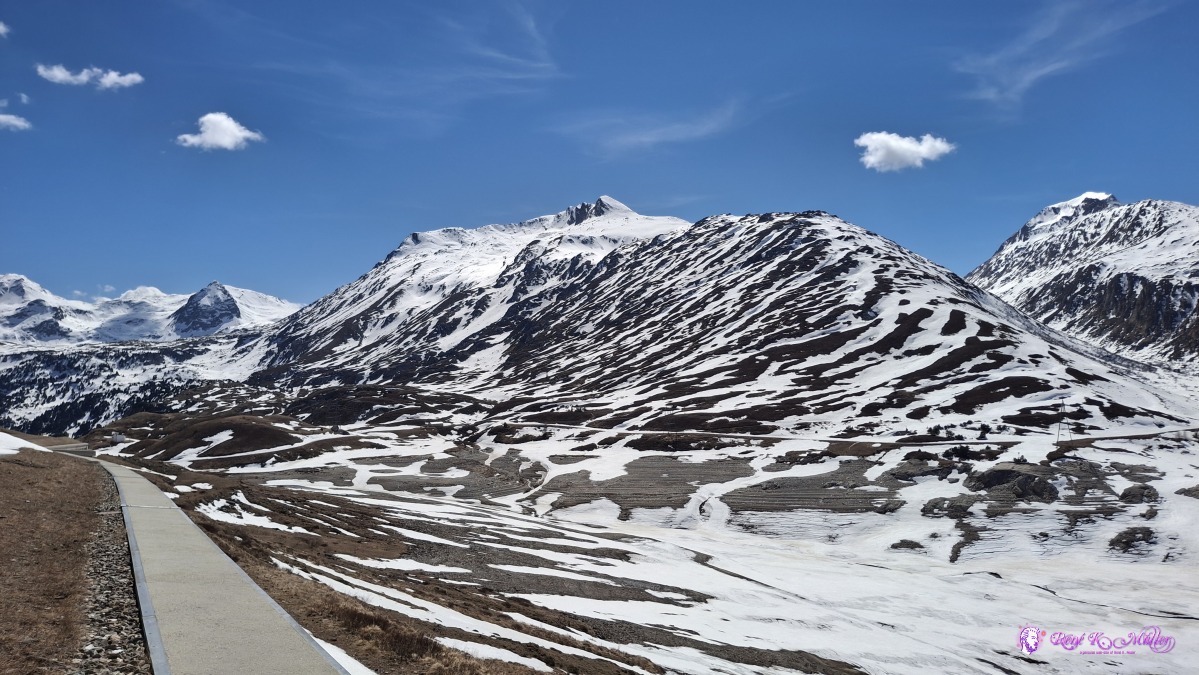 ◈ Medel (Lucmagn) (Δ 2021m), 2026/04/16 14:48 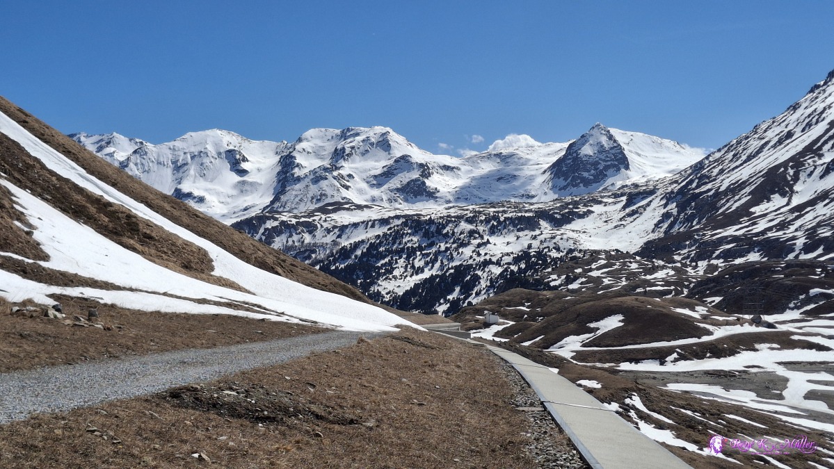 ◈ Medel (Lucmagn) (Δ 2021m), 2026/04/16 14:49 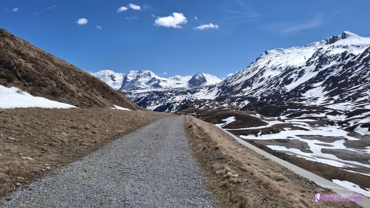 2026/04/16 14:53 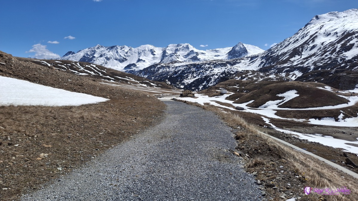 ◈ Medel (Lucmagn) (Δ 2000m), 2026/04/16 14:56 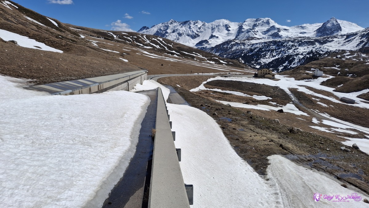 ◈ Medel (Lucmagn) (Δ 1983m), 2026/04/16 14:57 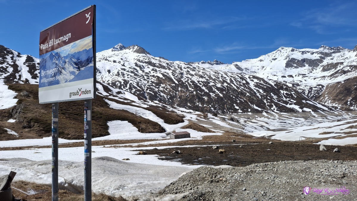 2026/04/16 15:02 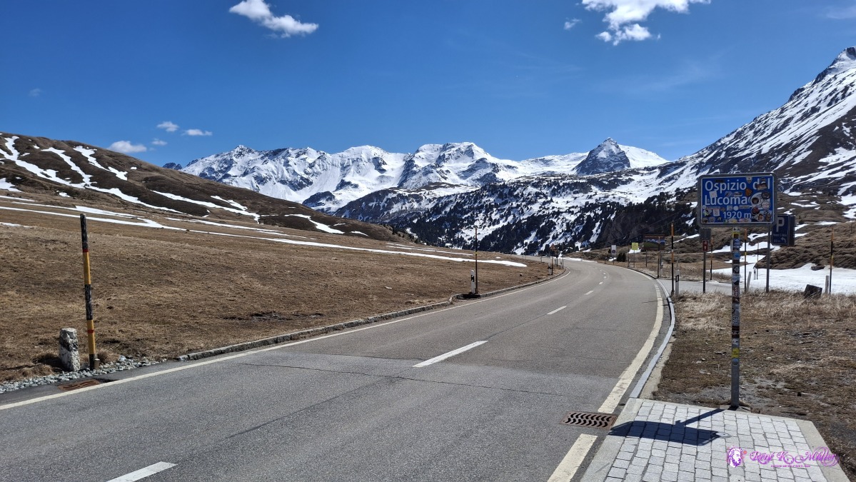 ◈ Blenio (Δ 1957m), 2026/04/16 15:03 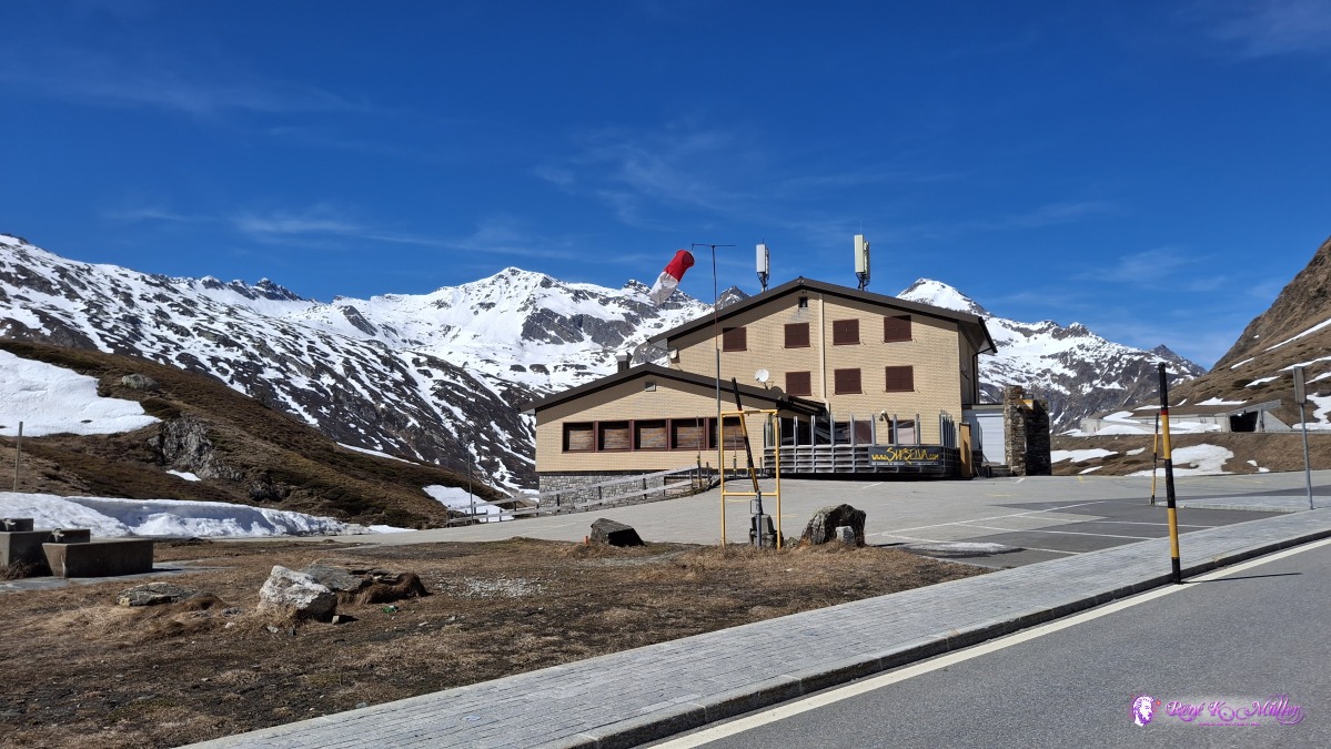 ◈ Blenio (Δ 1957m), 2026/04/16 15:04 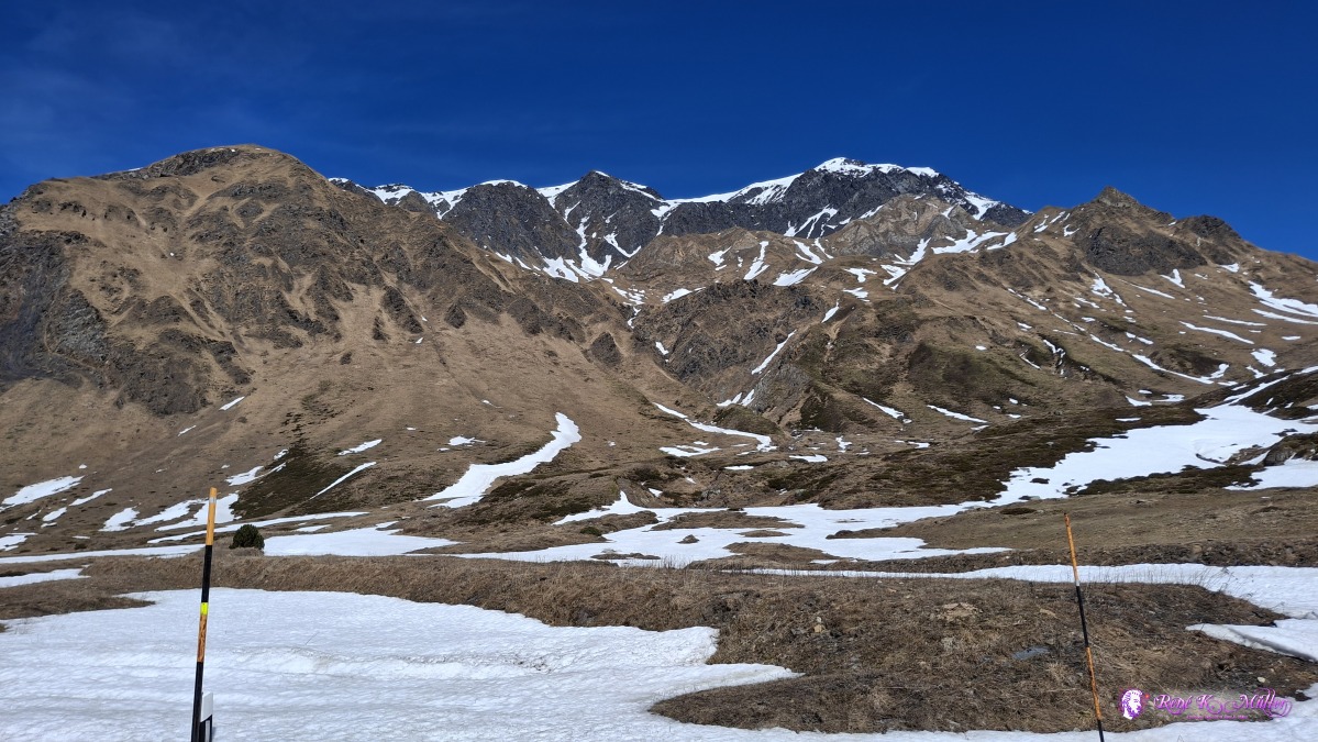 ◈ Blenio (Δ 1958m), 2026/04/16 15:11 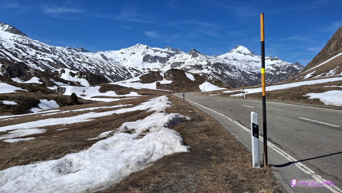 ◈ Blenio (Δ 1958m), 2026/04/16 15:11 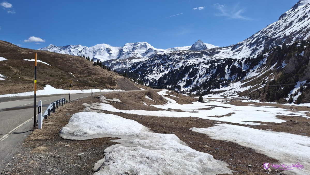 ◈ Blenio (Δ 1958m), 2026/04/16 15:11 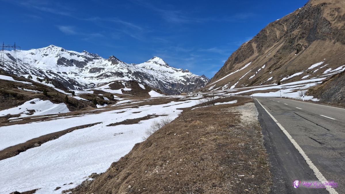 ◈ Blenio (Δ 1953m), 2026/04/16 15:14 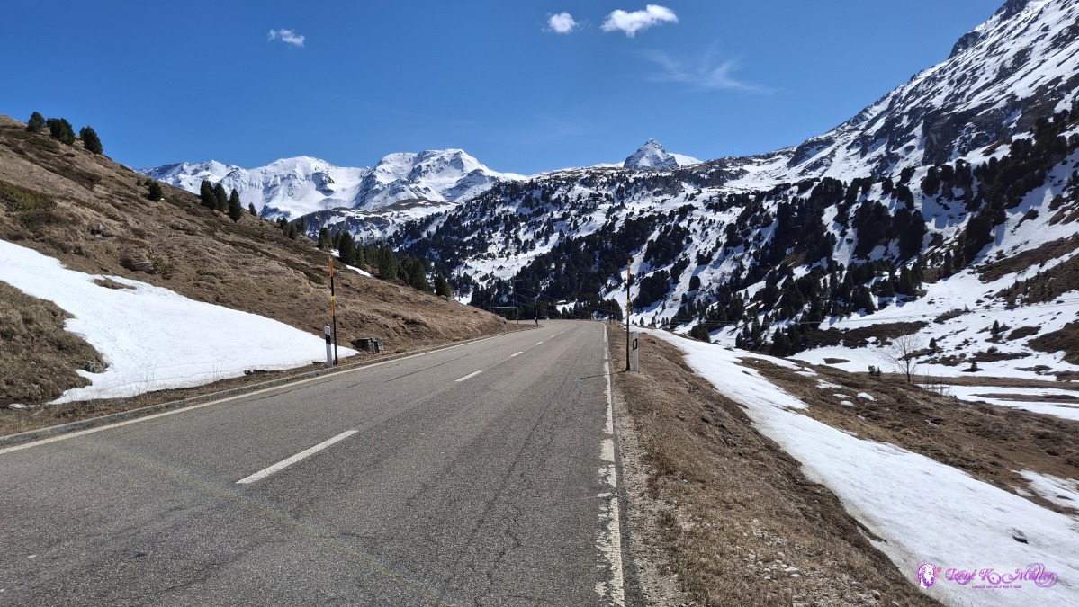 ◈ Blenio (Δ 1958m), 2026/04/16 15:14 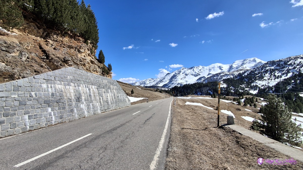 ◈ Blenio (Δ 1941m), 2026/04/16 15:16 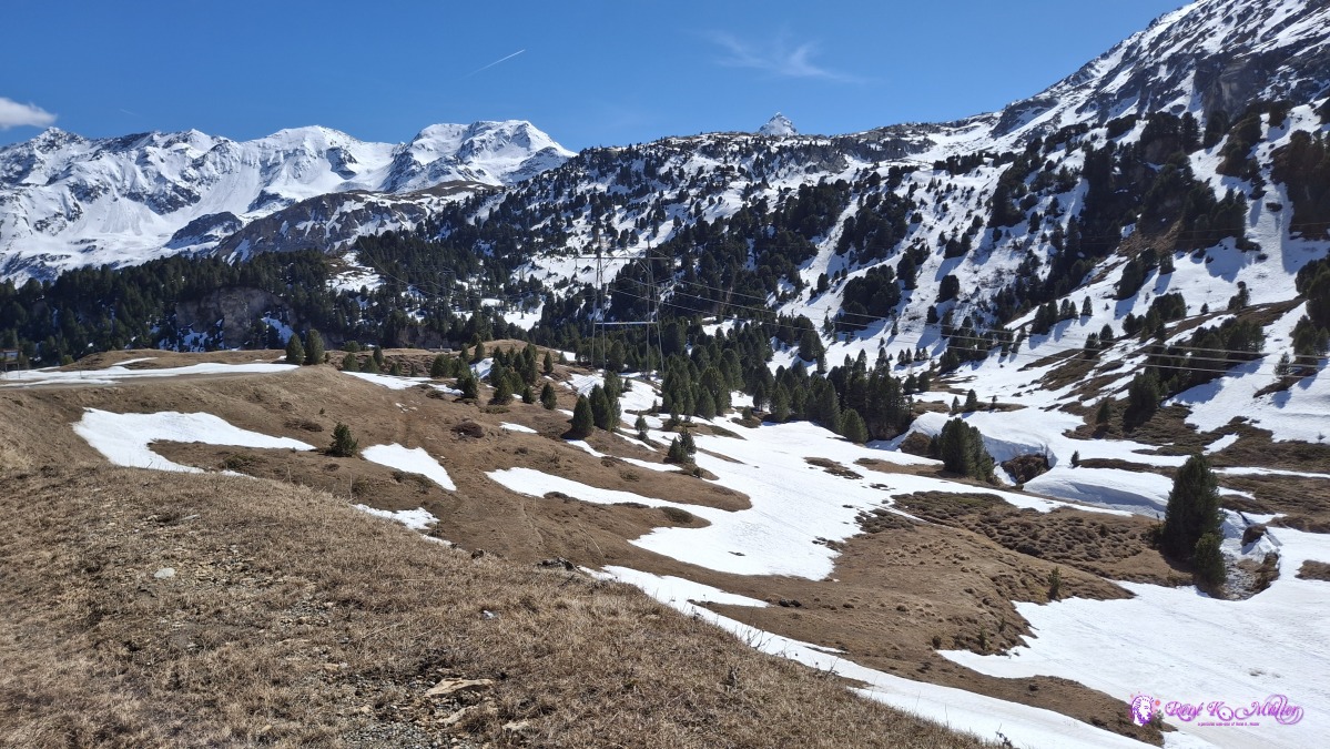 ◈ Blenio (Δ 1941m), 2026/04/16 15:16 Further descend and first walk aside of the main road (with little traffic still) as the hiking path is snow covered, between few centimeter to half a meter, and snow covered brook passes (you won't see the brook), so I try to avoid those passages. Eventually I have to hike on the official trail as the main road goes through some alavanche galleries again, and walk in there along the cars is dangerous (I'm not very visible in there), so I walk over meadows with 3-4cm flowing water, melting water, and my shoes and socks are wet, soaking wet, there is no way to avoid the snow, or melting water. Slowly I descend into warmer and drier surrounding, the path is wet, some passages feel like quick sand, and every step steep downhill has to be taken cautiosly, no haste. Eventually I reach very flat plateau called Campra, at the northern end I find a nice spot, the wind has turned to south wind, and it's much warmer, apprx. ~12-15°C while the sun sets over the nearby high mountains.
 ◈ Blenio (Δ 1891m), 2026/04/16 15:28 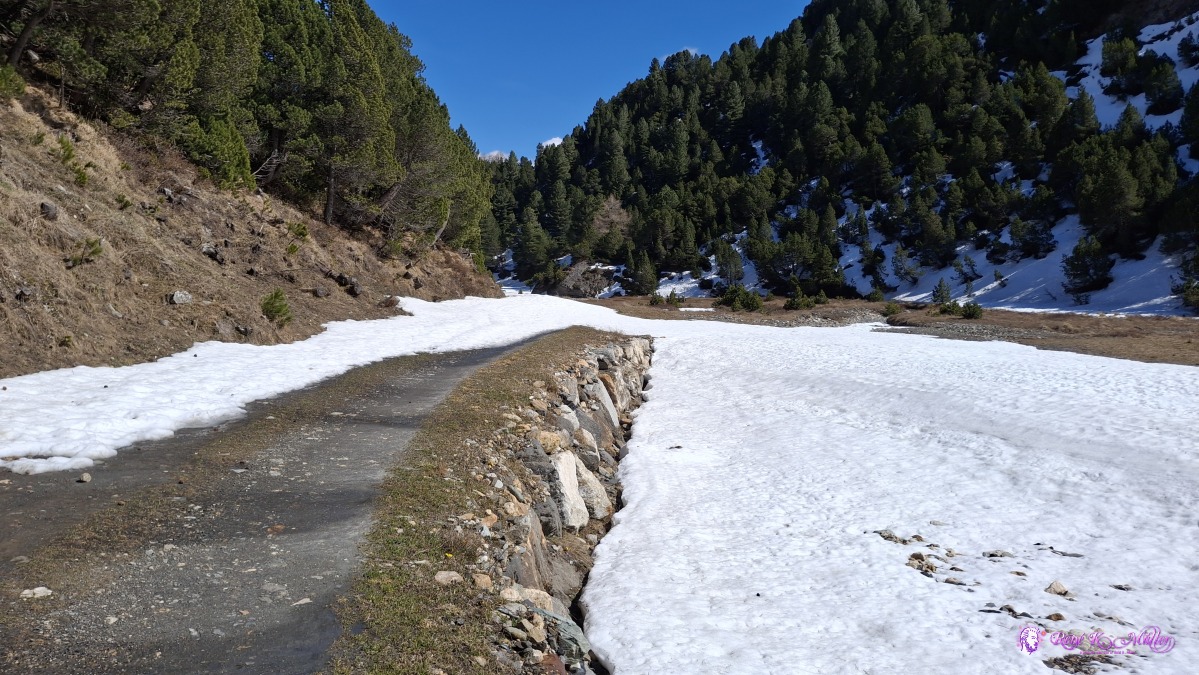 2026/04/16 15:34 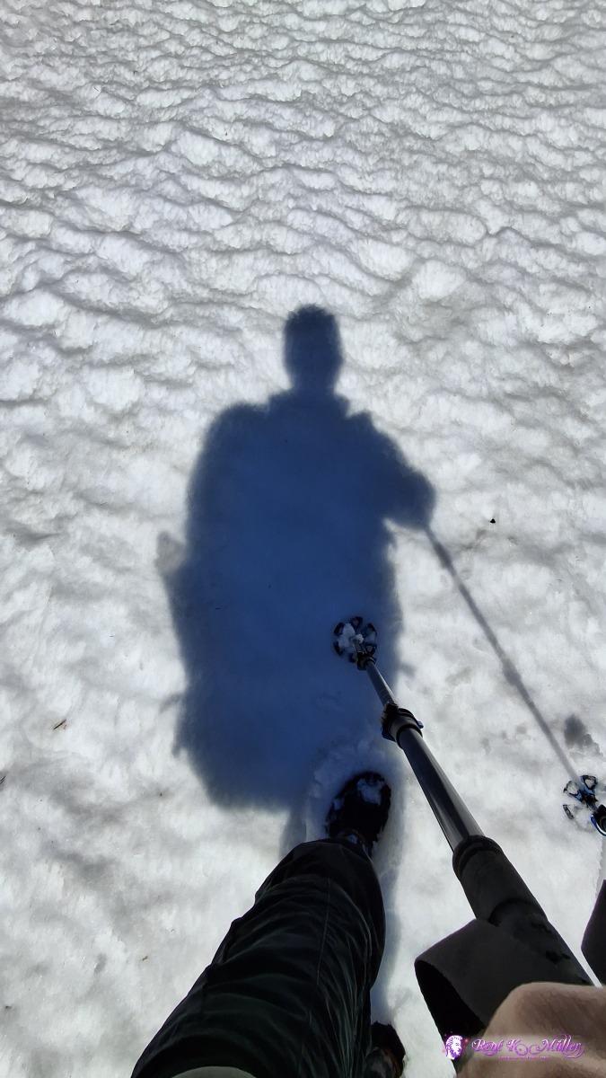 ◈ Blenio (Δ 1877m), 2026/04/16 15:36 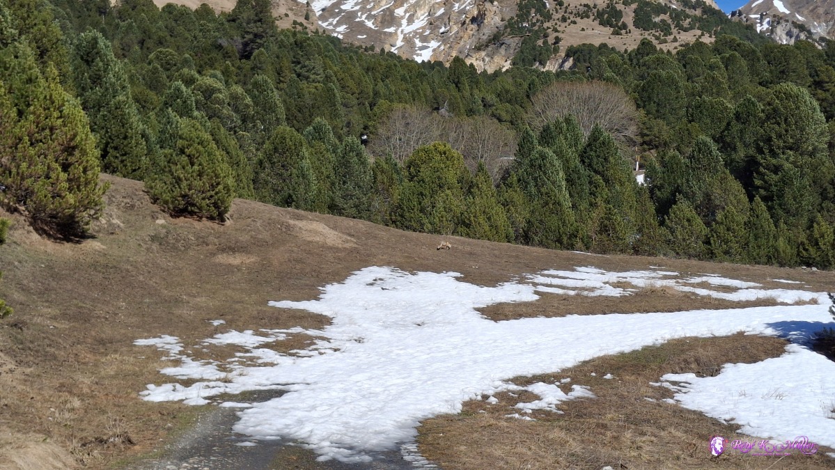 ◈ Blenio (Δ 1866m), 2026/04/16 15:39 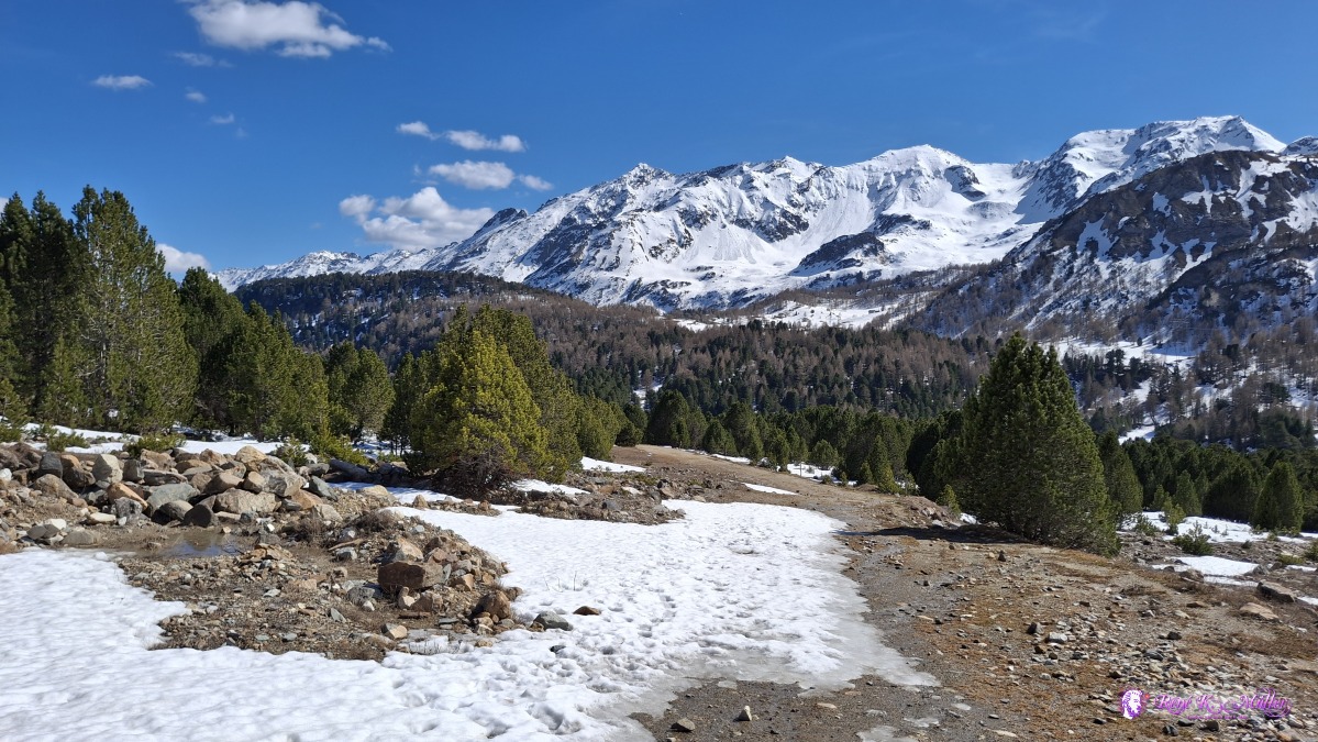 2026/04/16 15:44 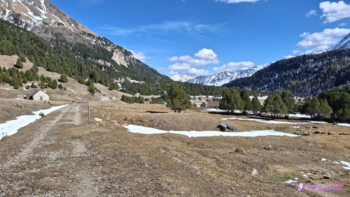 2026/04/16 15:52 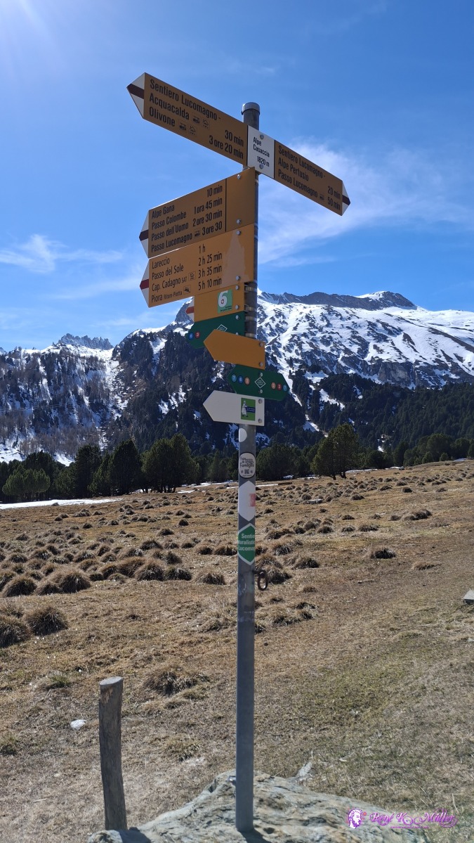 ◈ Blenio (Δ 1871m), 2026/04/16 15:54 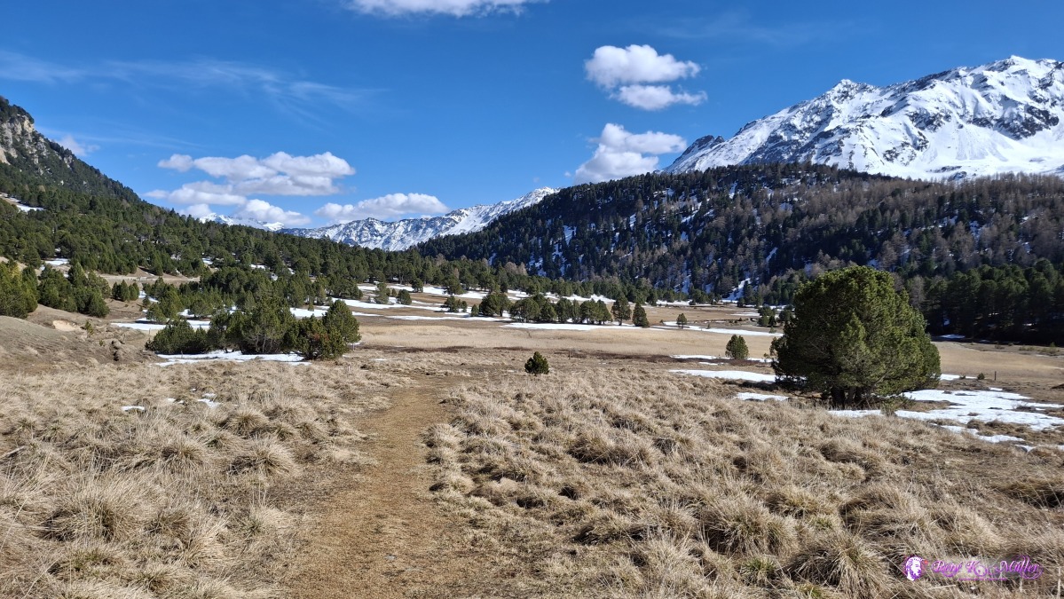 ◈ Blenio (Δ 1872m), 2026/04/16 15:55 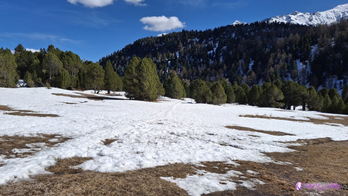 ◈ Pian Segno, Blenio (Δ 1848m), 2026/04/16 16:03  ◈ Pian Segno, Blenio (Δ 1855m), 2026/04/16 16:05 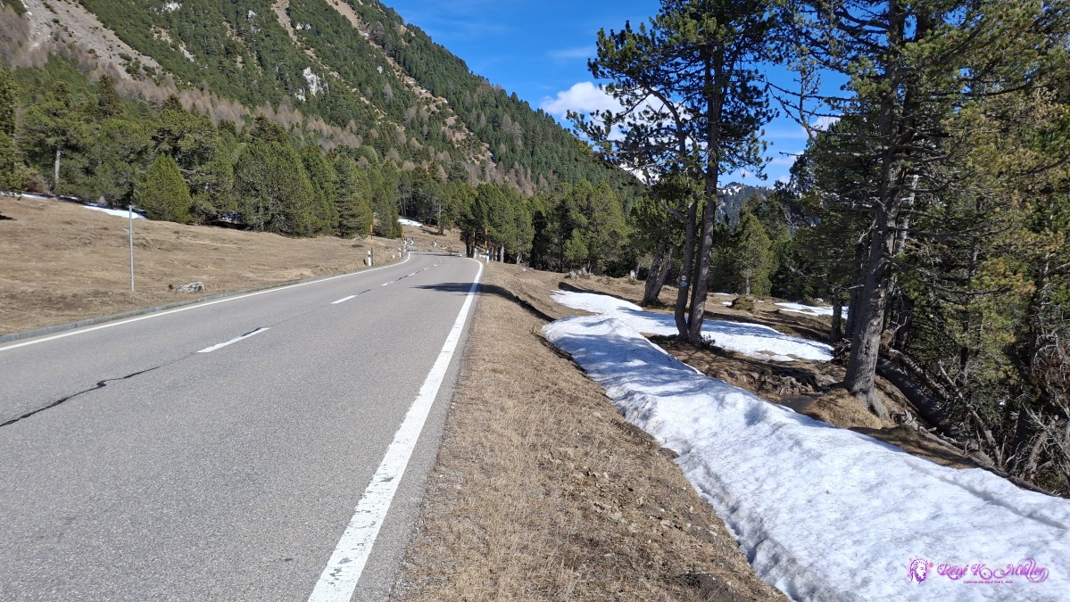 ◈ Pian Segno, Blenio (Δ 1835m), 2026/04/16 16:15 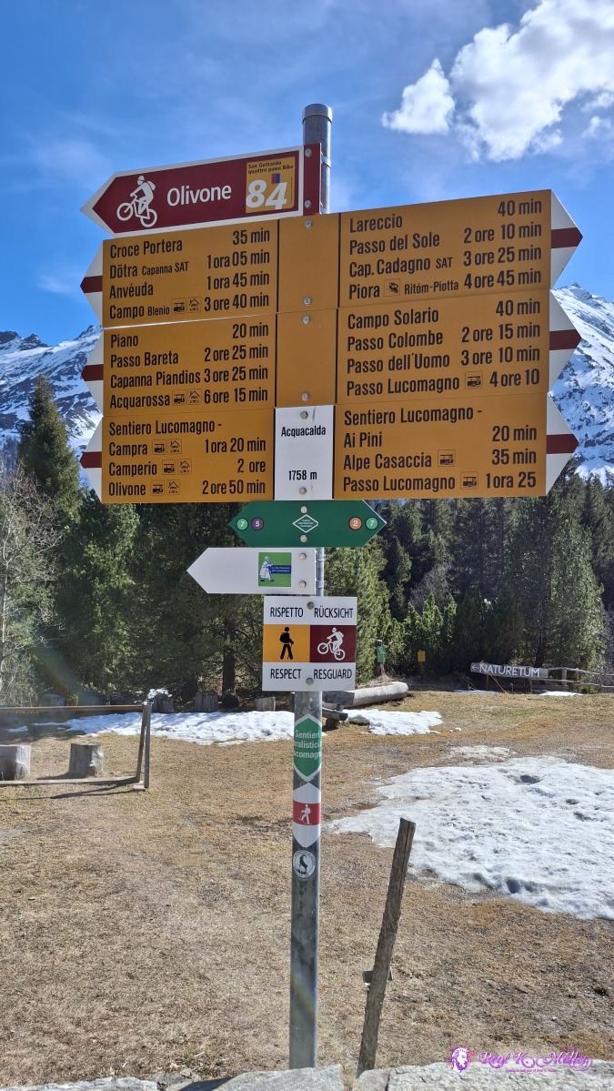 ◈ Pian Segno, Blenio (Δ 1806m), 2026/04/16 16:26 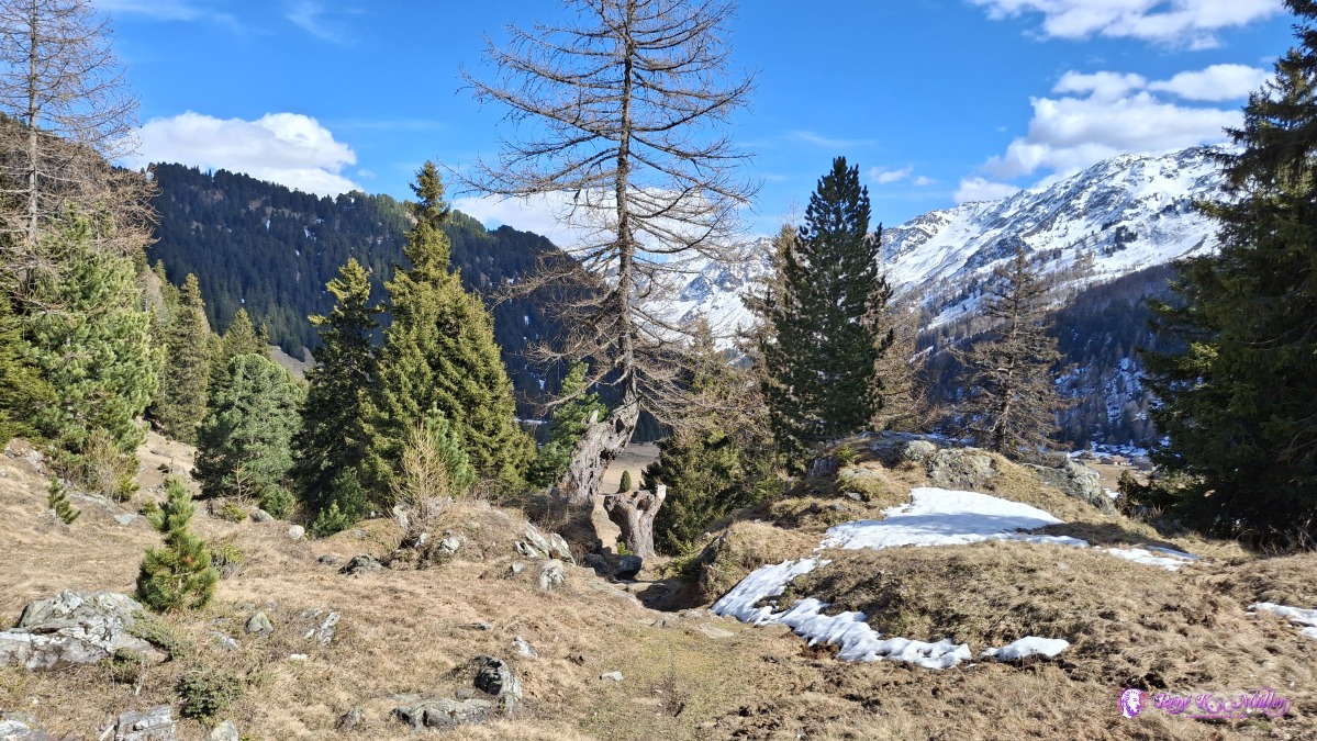 ◈ Pian Segno, Blenio (Δ 1790m), 2026/04/16 16:30 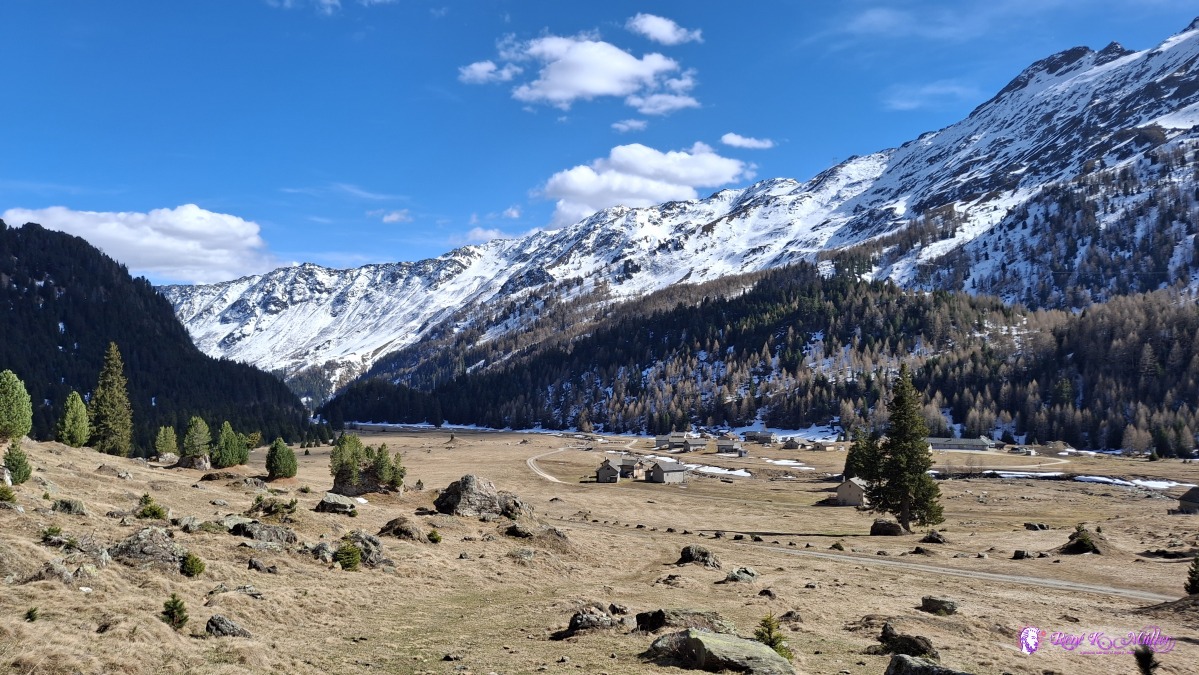 ◈ Pian Segno, Blenio (Δ 1746m), 2026/04/16 16:32 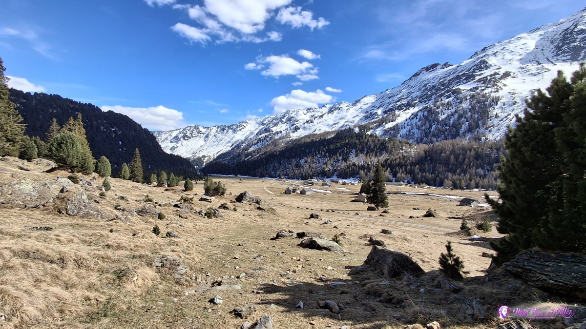 ◈ Pian Segno, Blenio (Δ 1744m), 2026/04/16 16:32 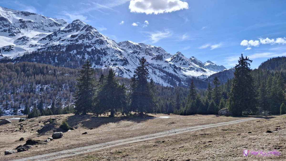 ◈ Pian Segno, Blenio (Δ 1736m), 2026/04/16 16:34 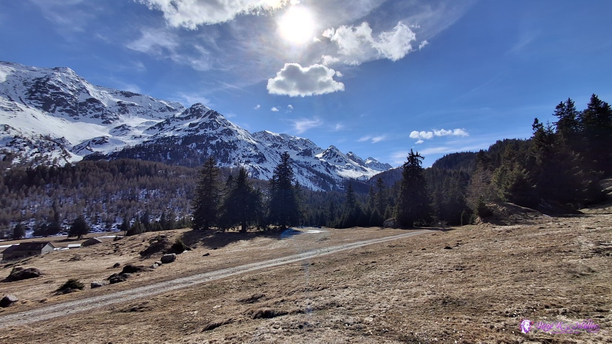 ◈ Pian Segno, Blenio (Δ 1744m), 2026/04/16 16:34 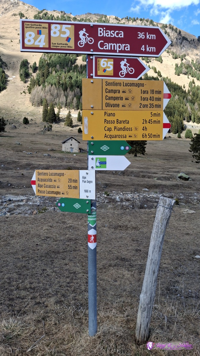 2026/04/16 16:42 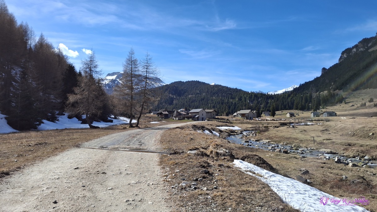 ◈ Pian Segno, Blenio (Δ 1698m), 2026/04/16 16:48 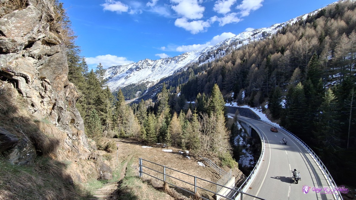 ◈ Pian Segno, Blenio (Δ 1698m), 2026/04/16 17:06 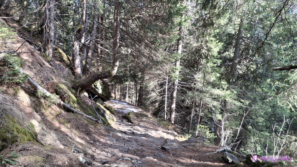 2026/04/16 17:12 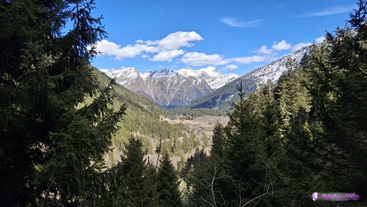 2026/04/16 17:22 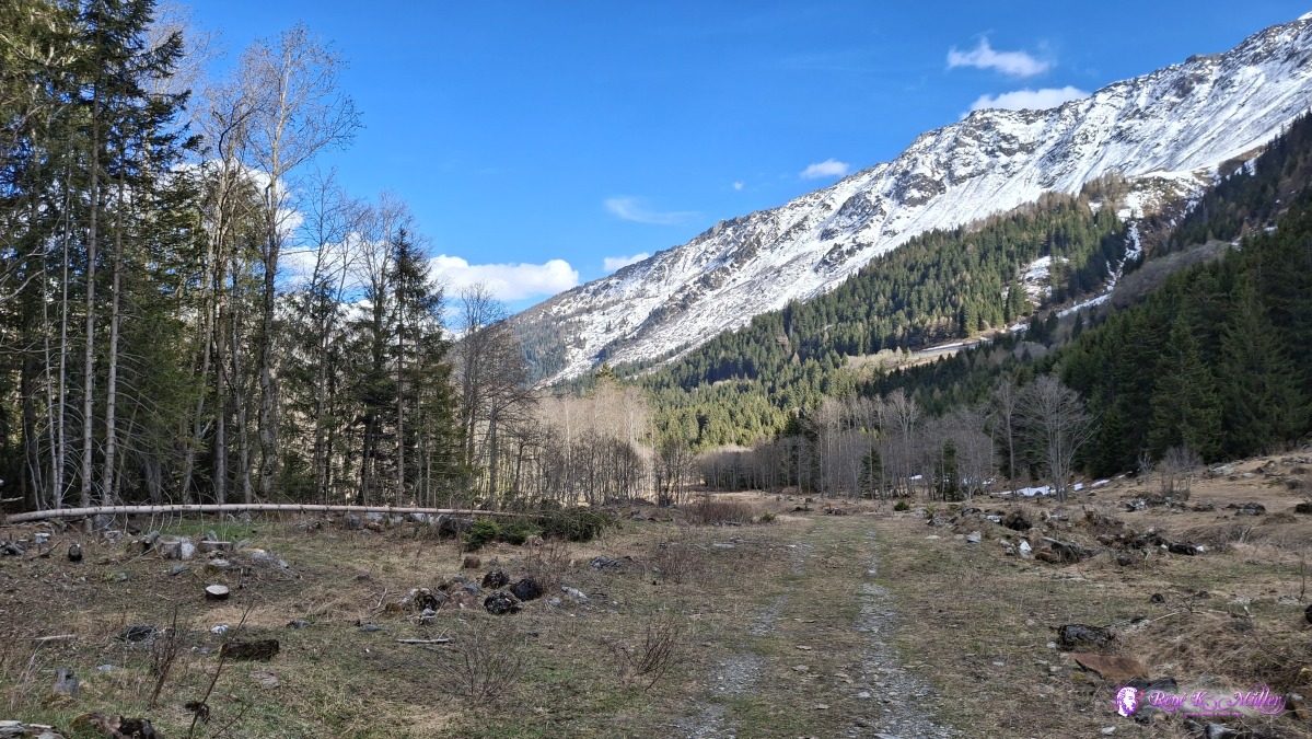 ◈ Campra, Blenio (Δ 1499m), 2026/04/16 17:32 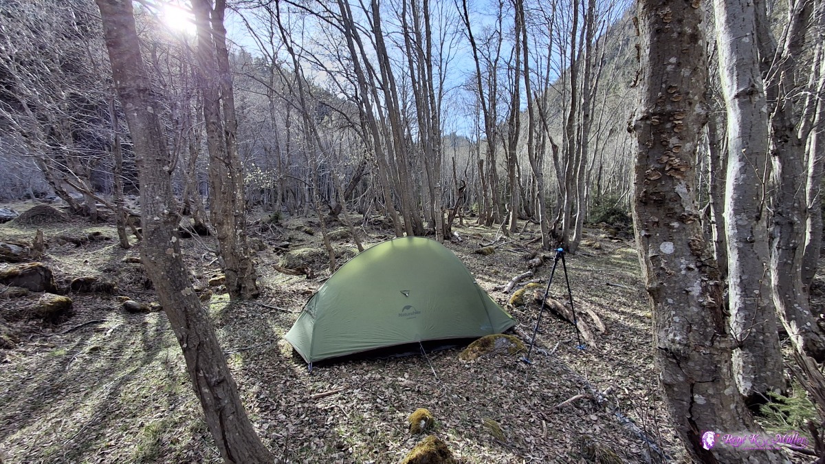 ◈ Campra, Blenio (Δ 1503m), 2026/04/16 17:47 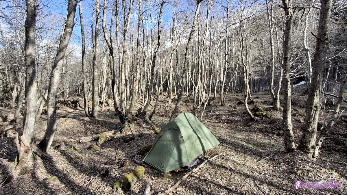 ◈ Campra, Blenio (Δ 1497m), 2026/04/16 17:47 That was a long day, 6hrs almost non-stop hike today, easy 500Hm up and more difficult and slow 500Hm down - but it was worth the risk to try the pass so early in the year. Friday 2026/04/15: Campra - DongioLong good sleep - I'm still kind of overwhelmed of yesterday, so many different impressions, other than in summer this spring time truly shows another side of this region. 9:00 I leave and hike from one flat meadow and hamlet to the next one, until I reach Ospizio (Camperio) where I divert away from reaching Olivone, but hike along the mountain Cima di Gorda Punta di Larescia and hike along diverse habitated hamlets and reach the floor of the valley at Ponto Valentino at 600m elevation, another 500Hm drop. Warm south wind, and ~20°C, reaching Comprovasco, Stallacia and Boscero (visa-vie of Dongio) and a bit outside in the forest, an abandoned hamlet I pitch my tent for tonight - I feel my face and sligth sun burn, the first of this year.
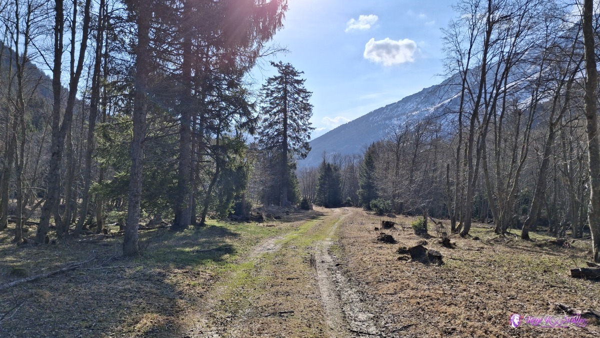 2026/04/17 09:11 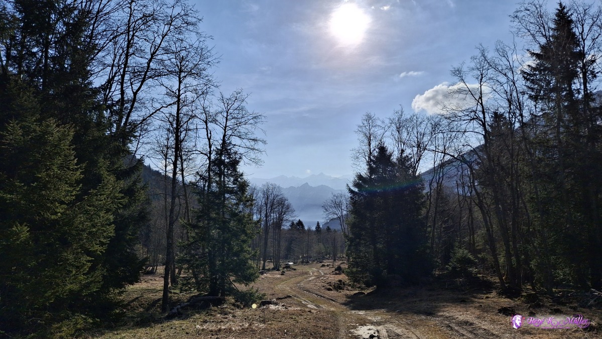 ◈ Campra, Blenio (Δ 1480m), 2026/04/17 09:13 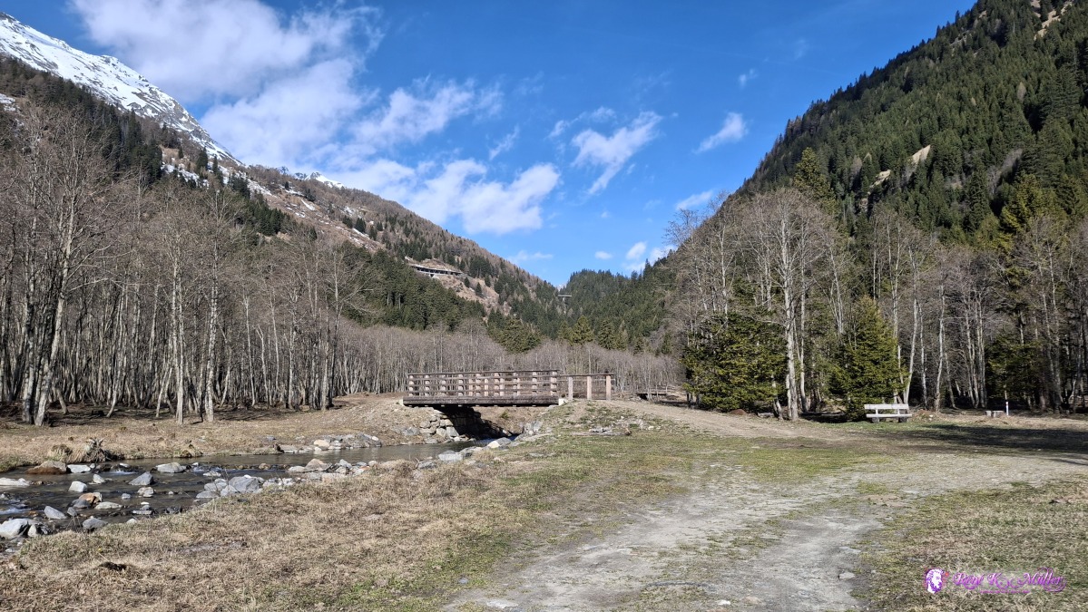 2026/04/17 09:17 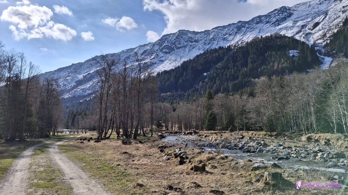 ◈ Campra, Blenio (Δ 1493m), 2026/04/17 09:17 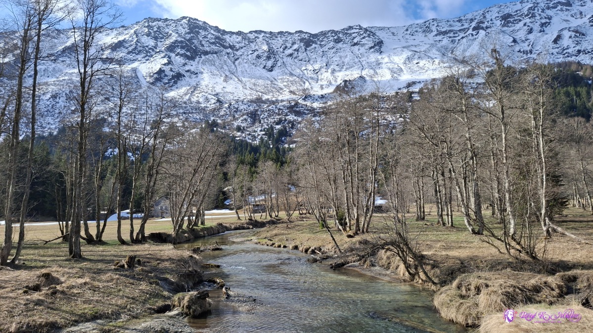 ◈ Campra, Blenio (Δ 1461m), 2026/04/17 09:33 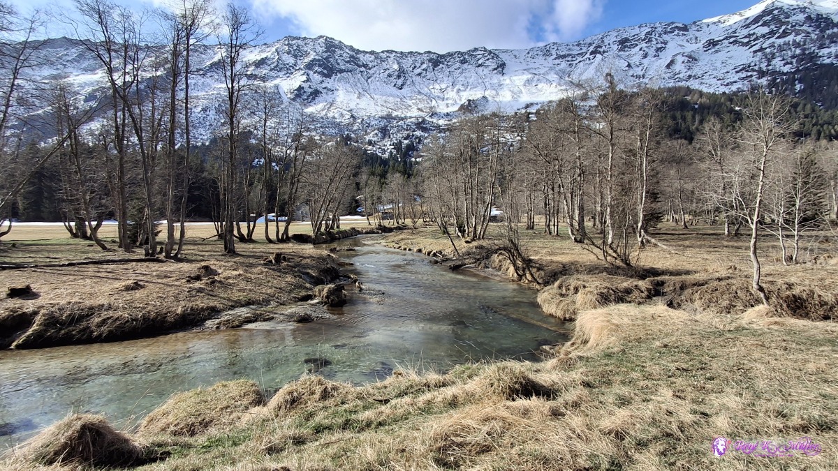 ◈ Campra, Blenio (Δ 1461m), 2026/04/17 09:33 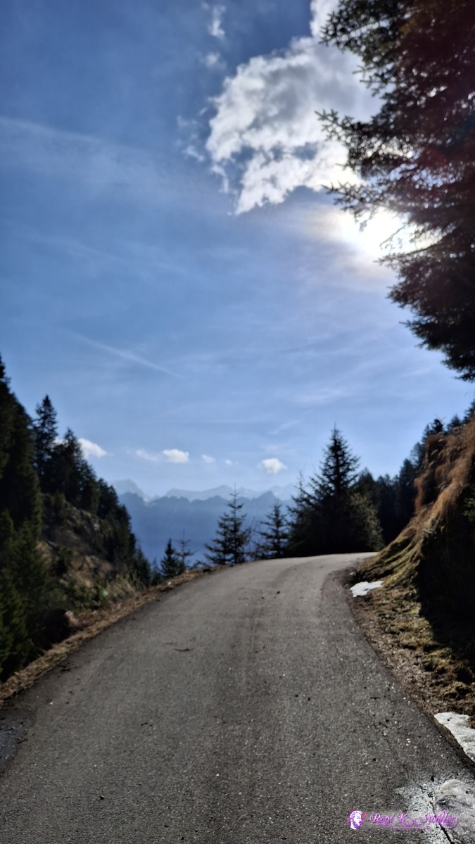 ◈ Camperio, Blenio (Δ 1472m), 2026/04/17 09:43 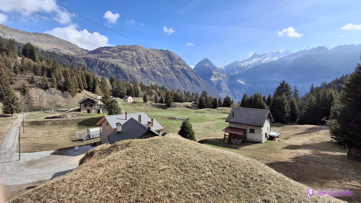 2026/04/17 10:07  2026/04/17 10:41 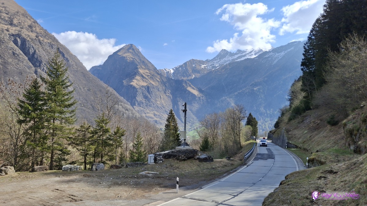 ◈ Camperio, Olivone (Δ 1261m), 2026/04/17 10:49 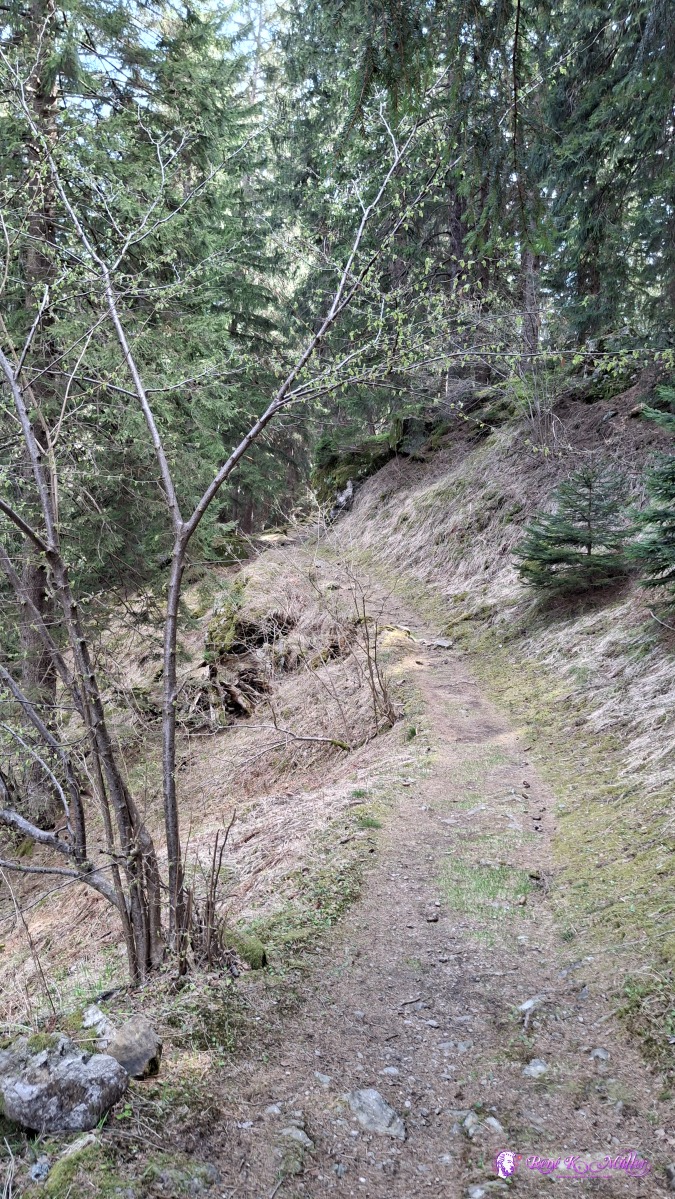 ◈ Camperio, Olivone (Δ 1287m), 2026/04/17 10:57 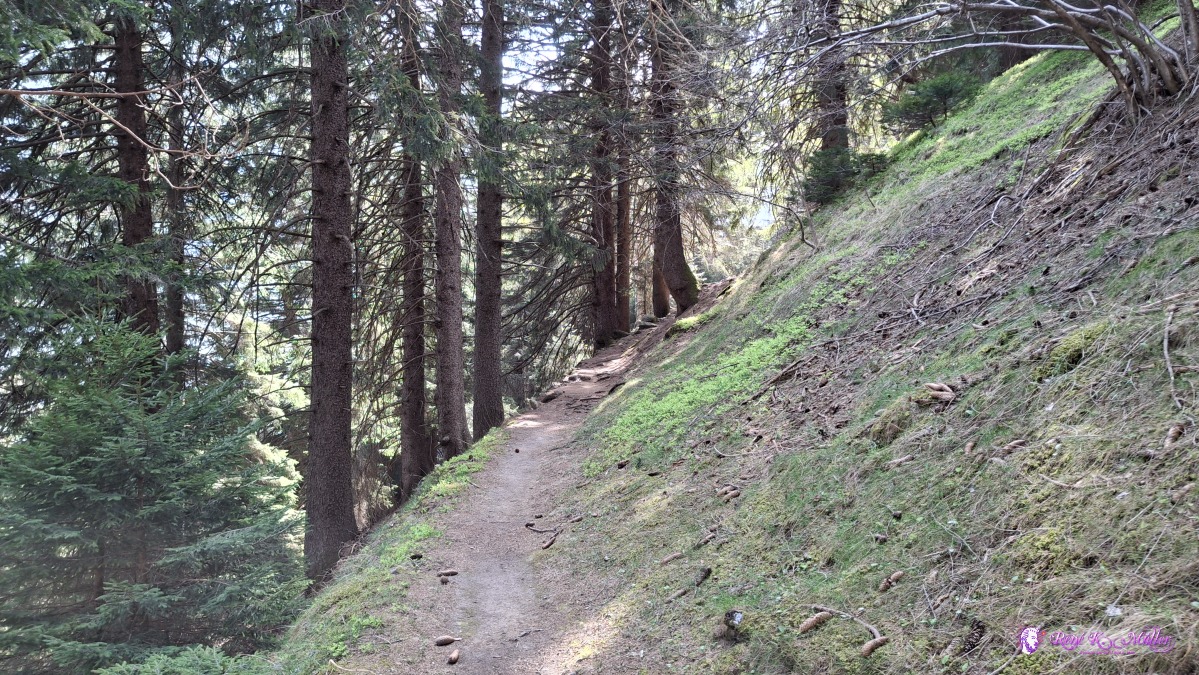 ◈ Camperio, Olivone (Δ 1260m), 2026/04/17 11:04 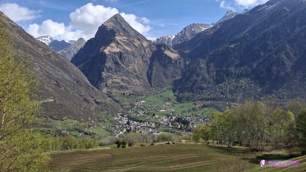 ◈ Camperio, Olivone (Δ 1259m), 2026/04/17 11:09 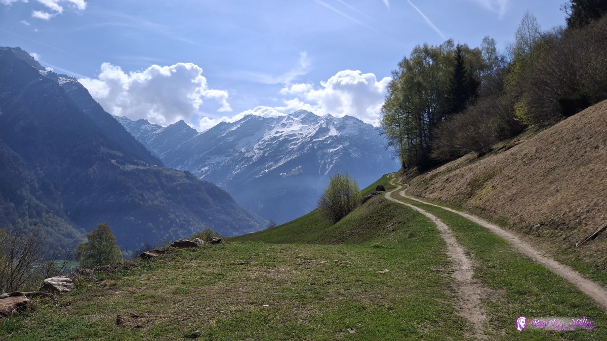 ◈ Olivone (Δ 1251m), 2026/04/17 11:11 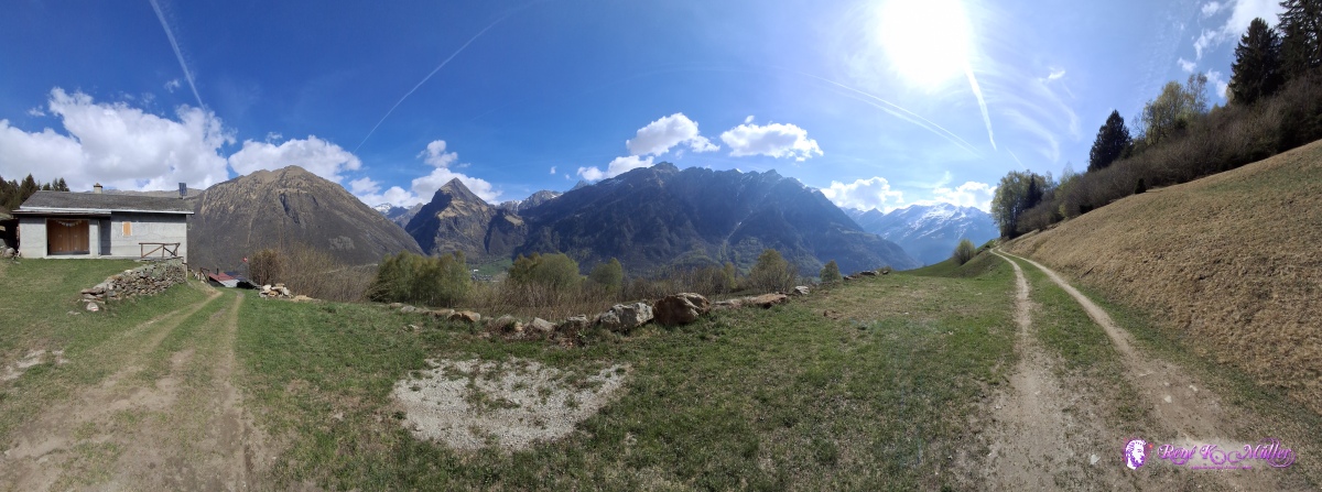 ◈ Olivone (Δ 1251m), 2026/04/17 11:11 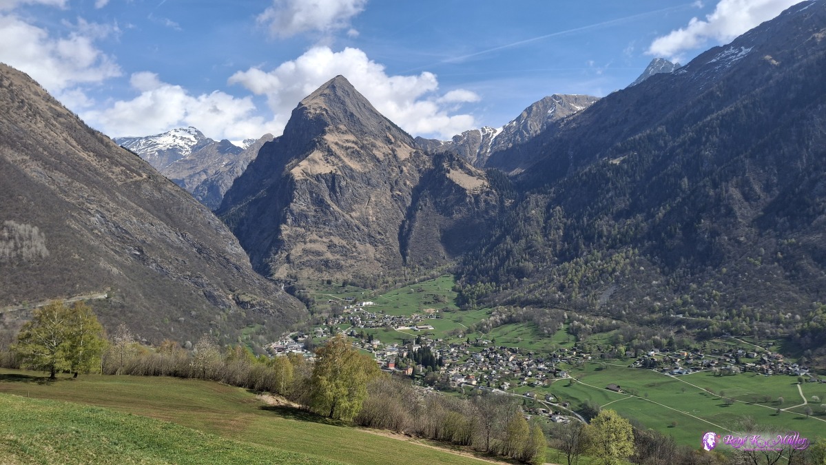 ◈ Olivone (Δ 1266m), 2026/04/17 11:15 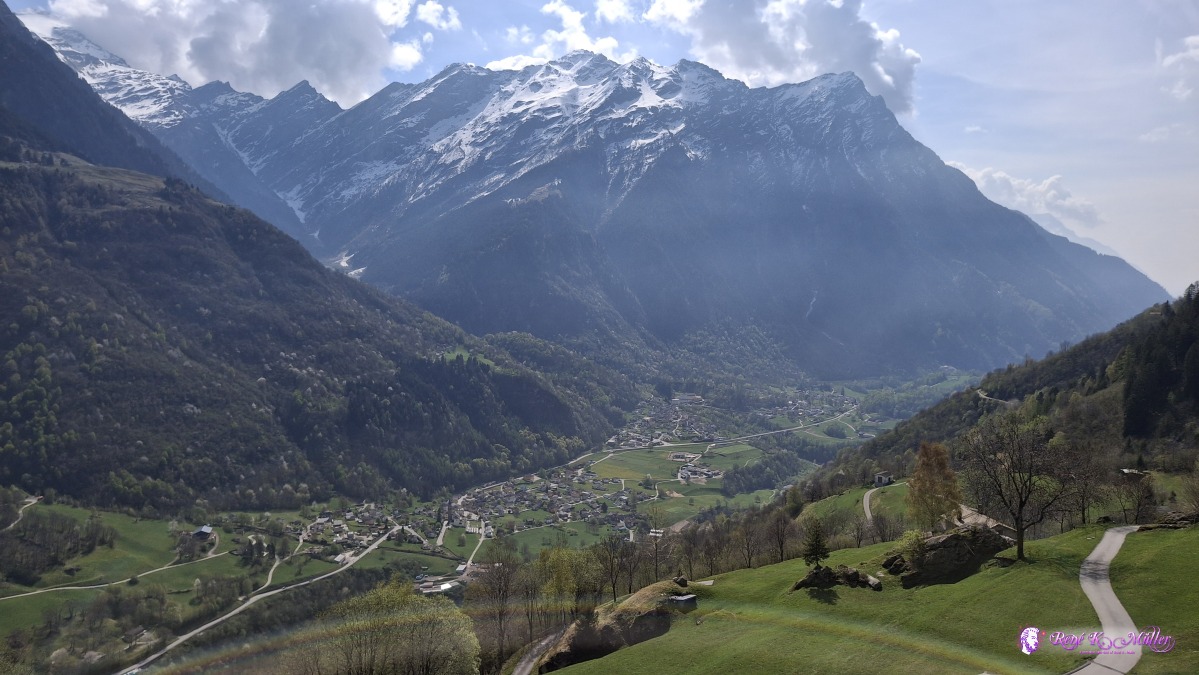 ◈ Aquila (Δ 1235m), 2026/04/17 11:26 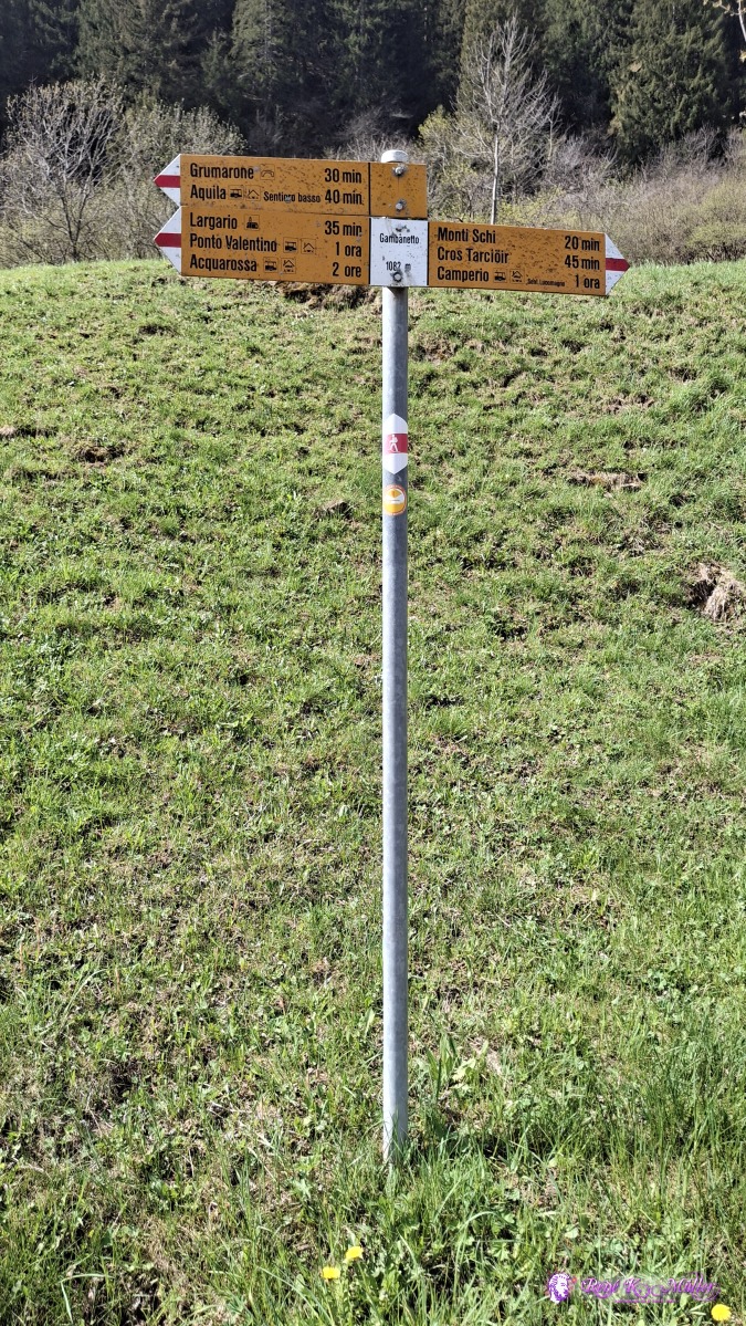 ◈ Aquila (Δ 1120m), 2026/04/17 11:43 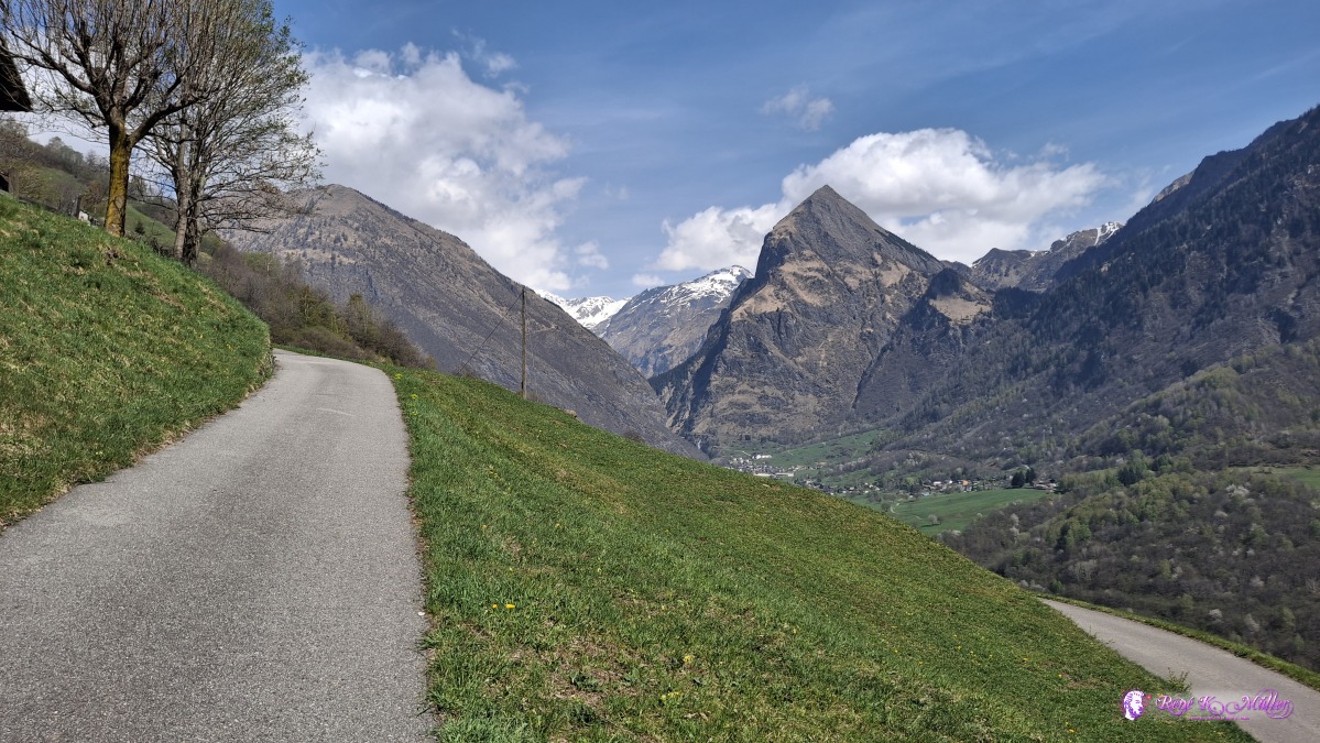 ◈ Aquila (Δ 1126m), 2026/04/17 11:46 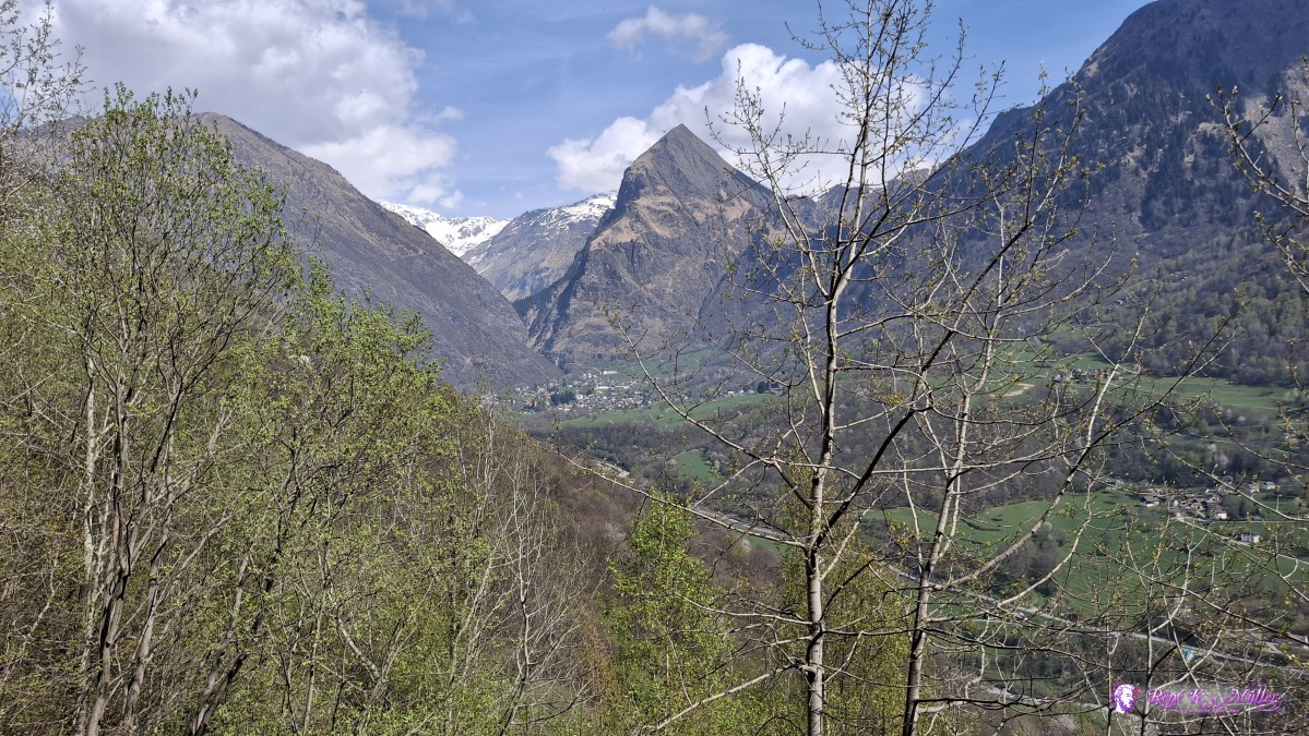 ◈ Toma, Aquila (Δ 1126m), 2026/04/17 11:52 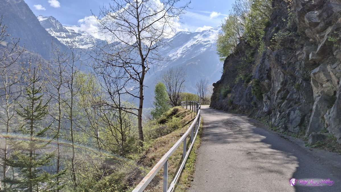 ◈ Toma, Aquila (Δ 1116m), 2026/04/17 11:52 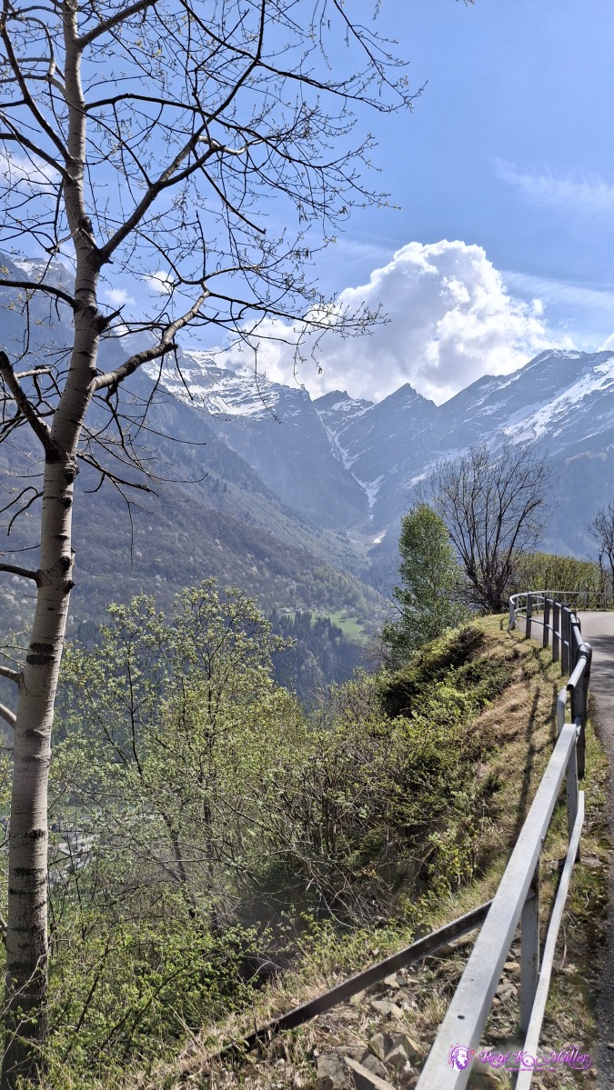 ◈ Toma, Aquila (Δ 1116m), 2026/04/17 11:53 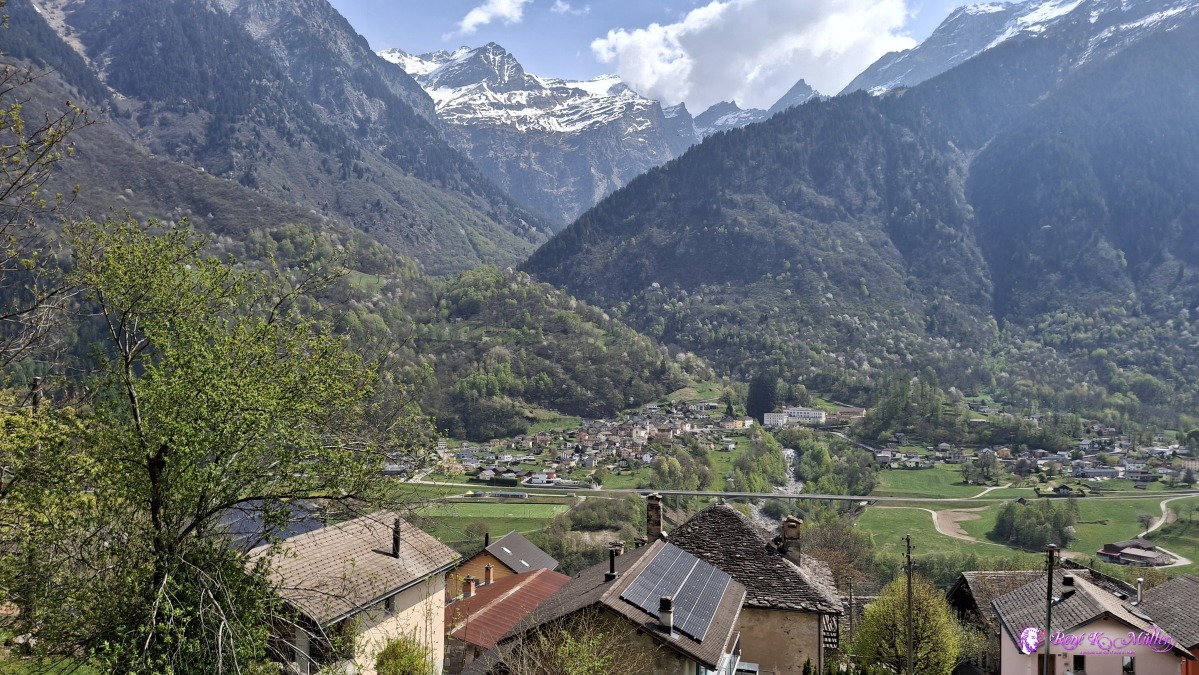 2026/04/17 12:21 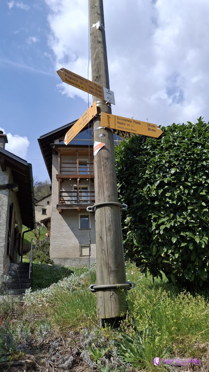 ◈ Largario, Ponto Valentino (Δ 899m), 2026/04/17 12:24 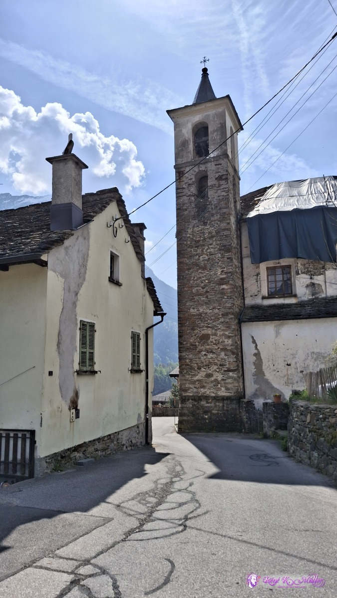 ◈ Largario, Ponto Valentino (Δ 901m), 2026/04/17 12:24 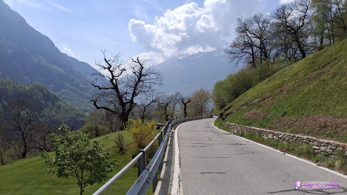 ◈ Largario, Ponto Valentino (Δ 895m), 2026/04/17 12:26 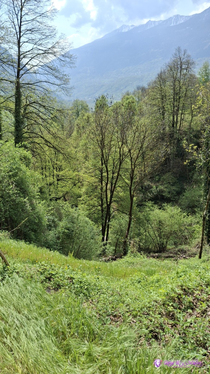 2026/04/17 12:42 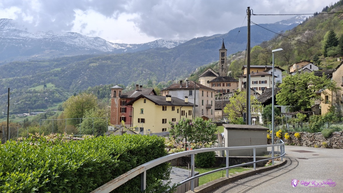 ◈ Ponto Valentino (Δ 768m), 2026/04/17 13:30 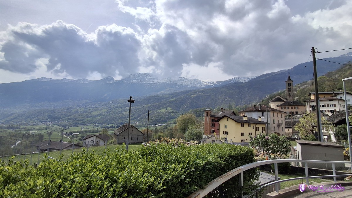 ◈ Ponto Valentino (Δ 768m), 2026/04/17 13:30 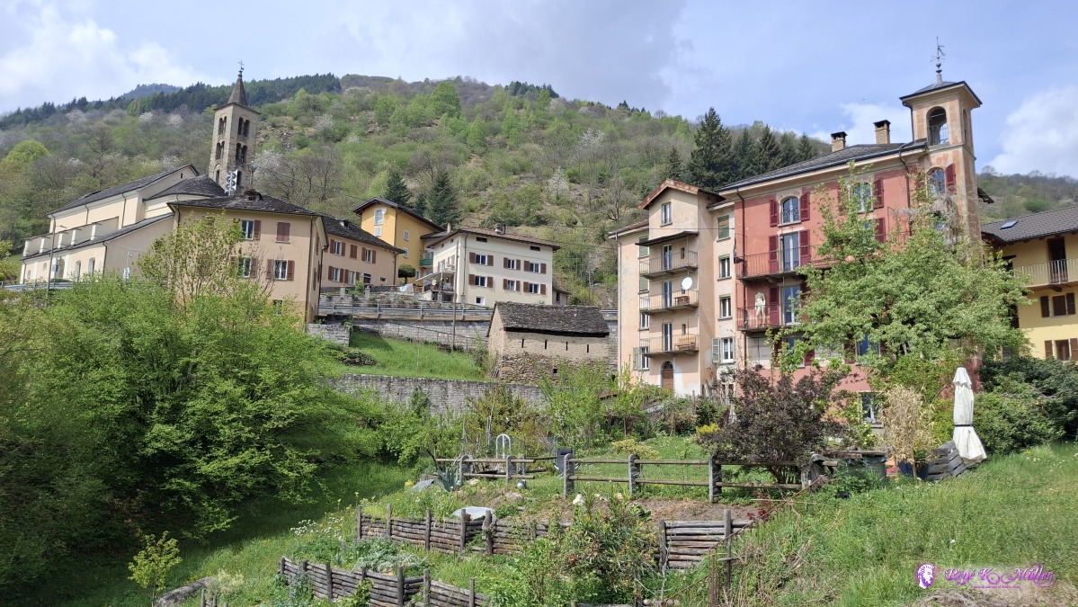 ◈ Ponto Valentino (Δ 770m), 2026/04/17 13:32 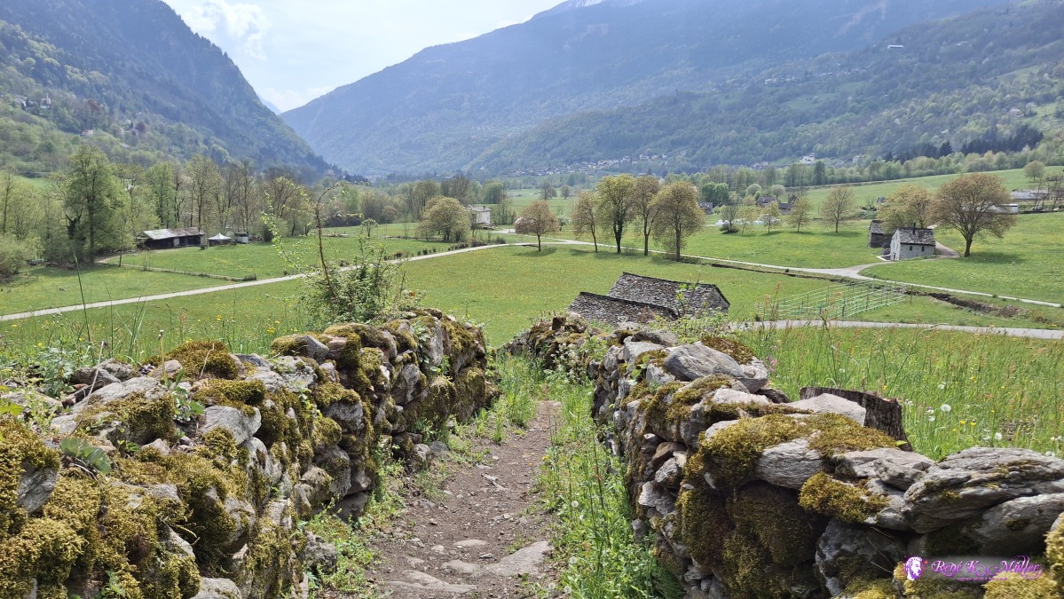 ◈ Ponto Valentino (Δ 694m), 2026/04/17 13:41 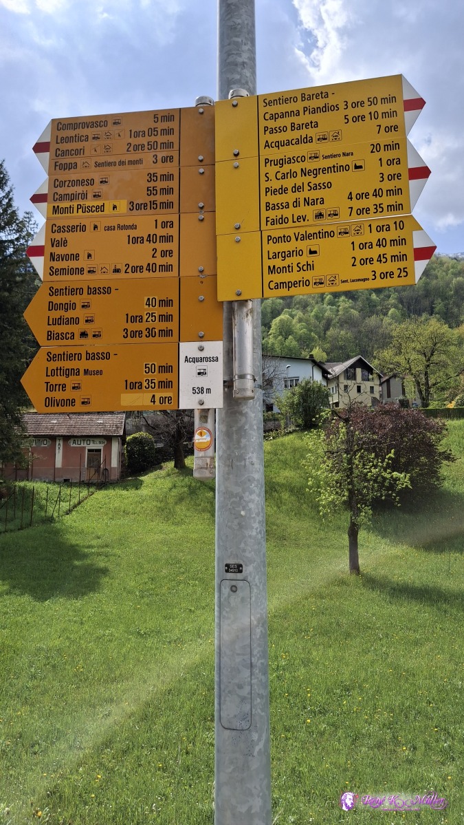 2026/04/17 14:28  2026/04/17 14:35  2026/04/17 14:41 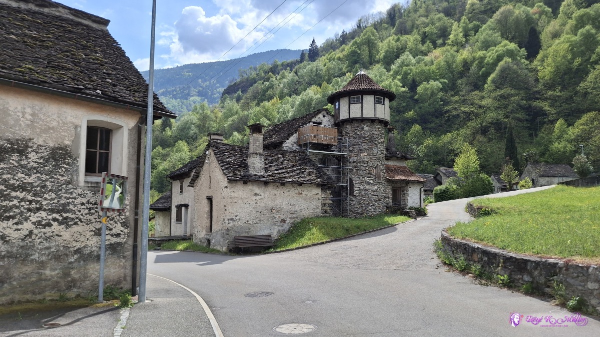 2026/04/17 14:43 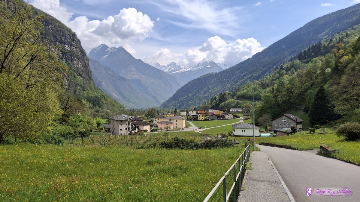 ◈ Al Sass Rurína, Corzoneso, Prugiasco (Δ 581m), 2026/04/17 14:44 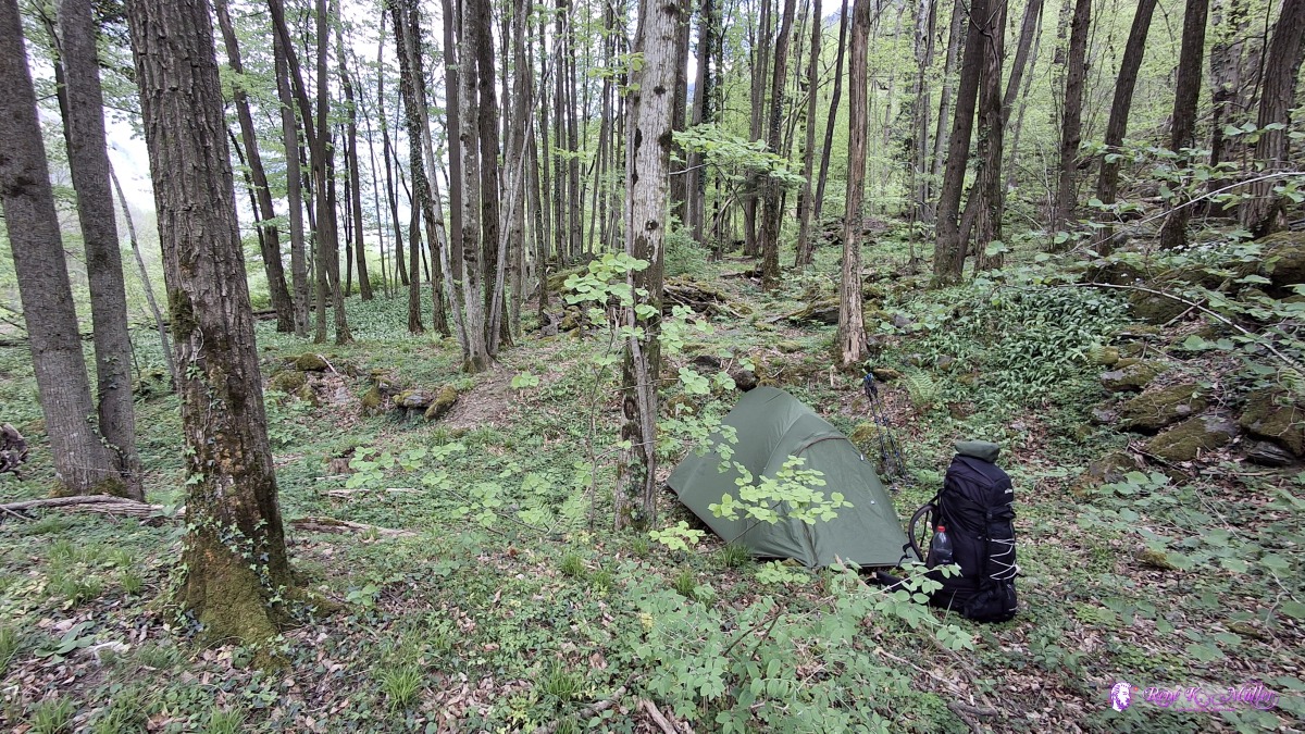 2026/04/17 15:25 Saturday 2026/04/16: Dongio - BiascaGood sleep, leaving early at 8:00, after the forest and some brief rougher hiking, I reach Ludiano and flat to Loderio and further the outskirt of Biasca, Vallone - where this hike ends.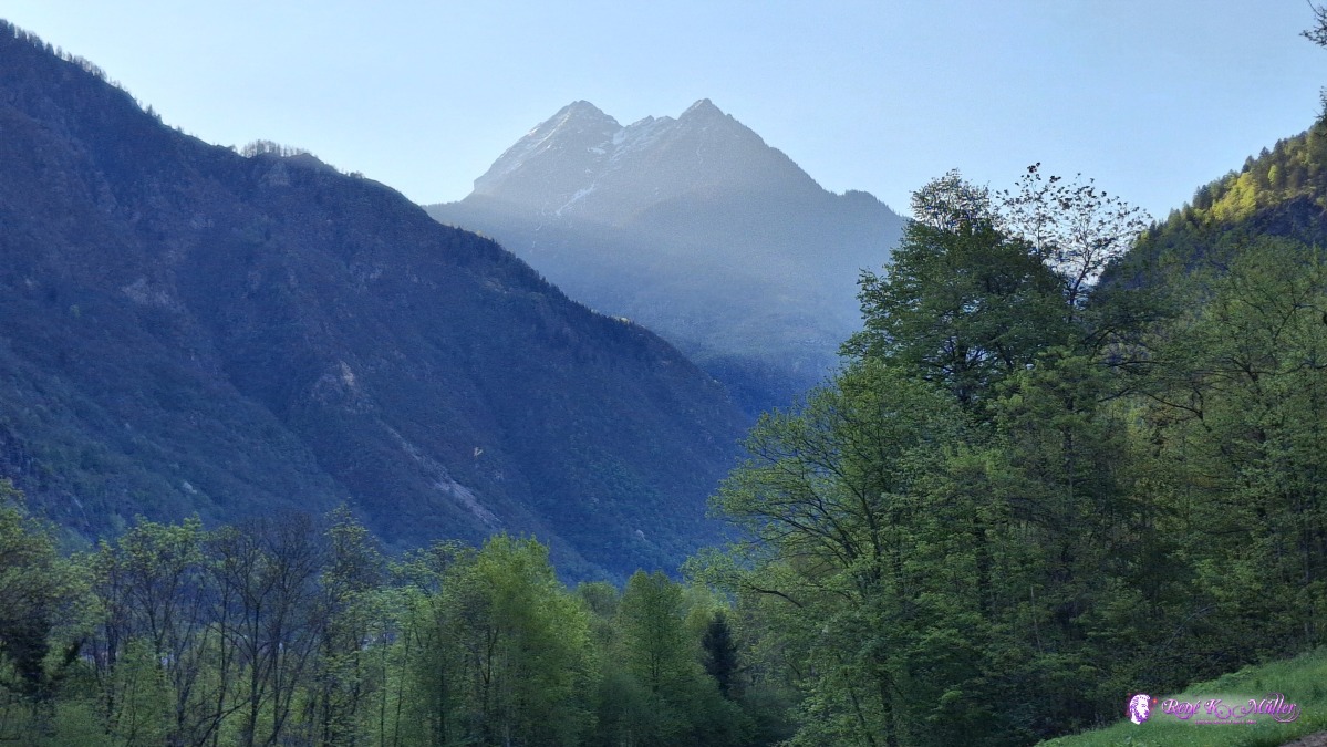 ◈ Dongio, Acquarossa (Δ 543m), 2026/04/18 08:14 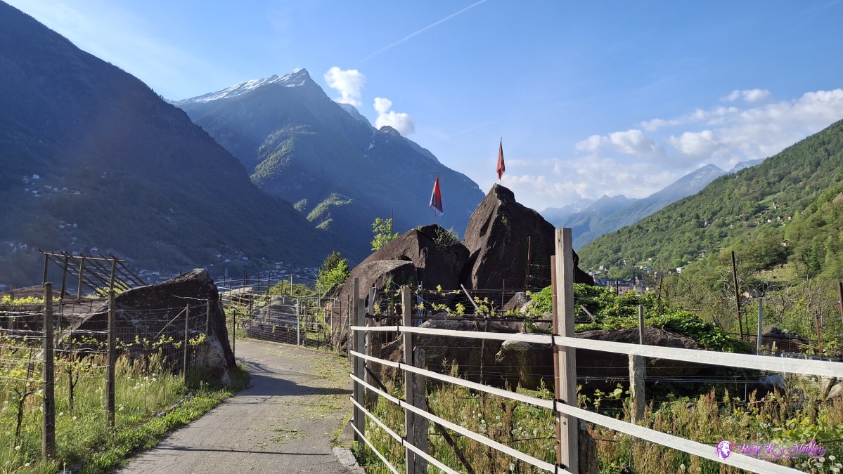 ◈ Rongie, Ludiano (Δ 507m), 2026/04/18 09:07 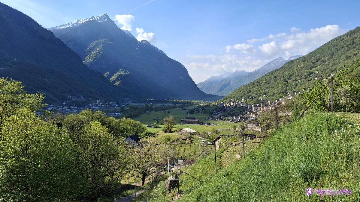 ◈ Rongie, Ludiano (Δ 496m), 2026/04/18 09:08 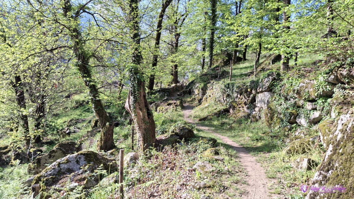 2026/04/18 09:13 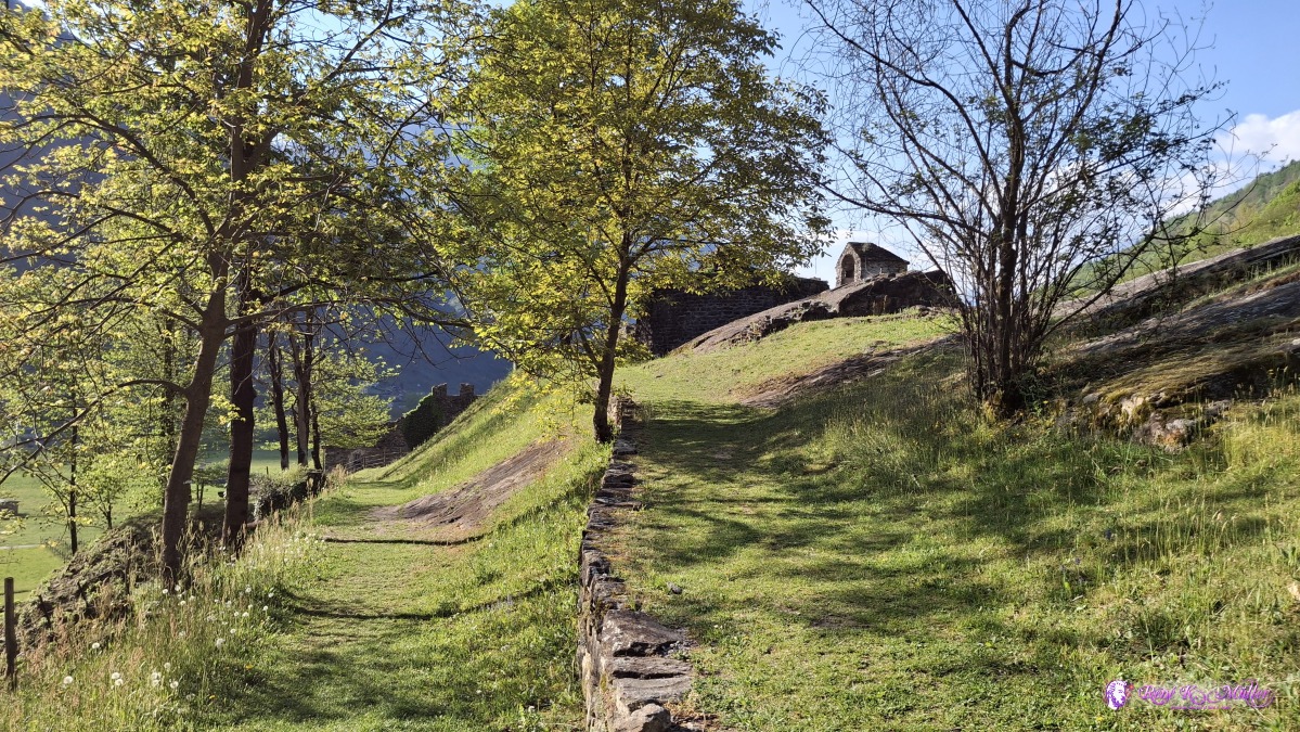 2026/04/18 09:14 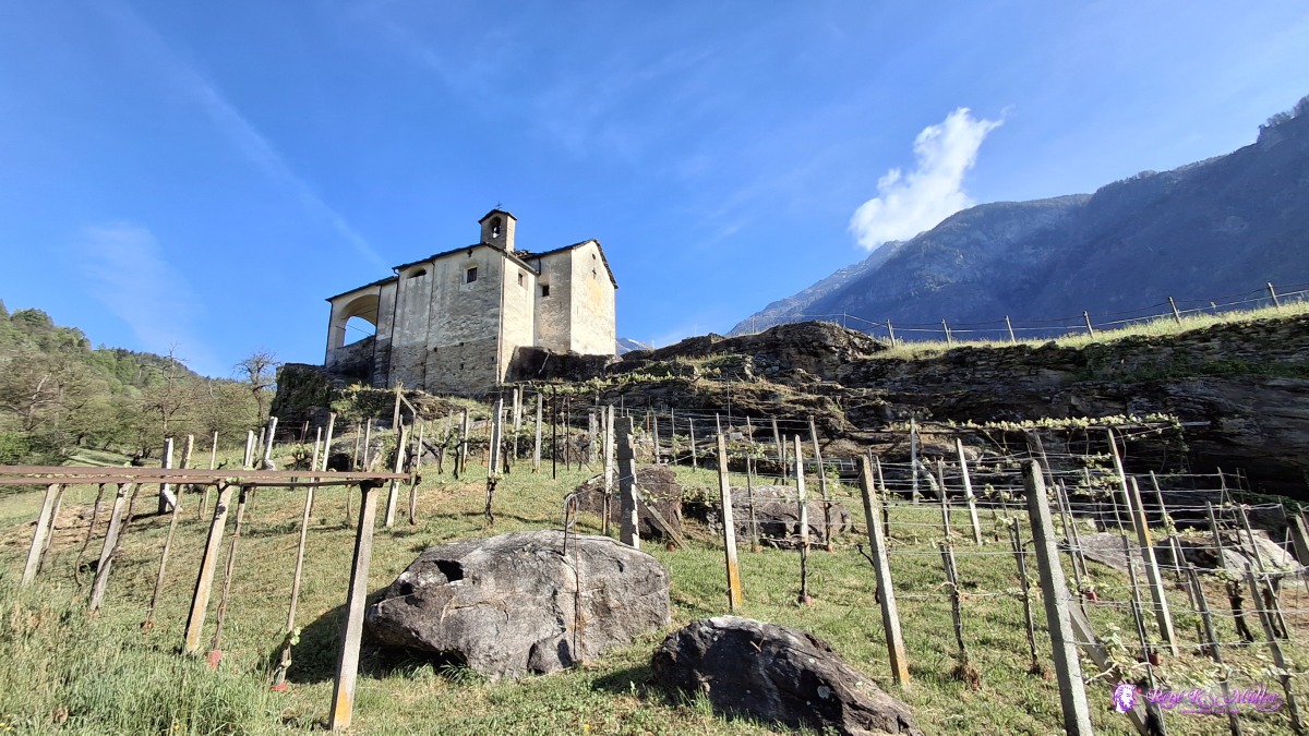 2026/04/18 09:18 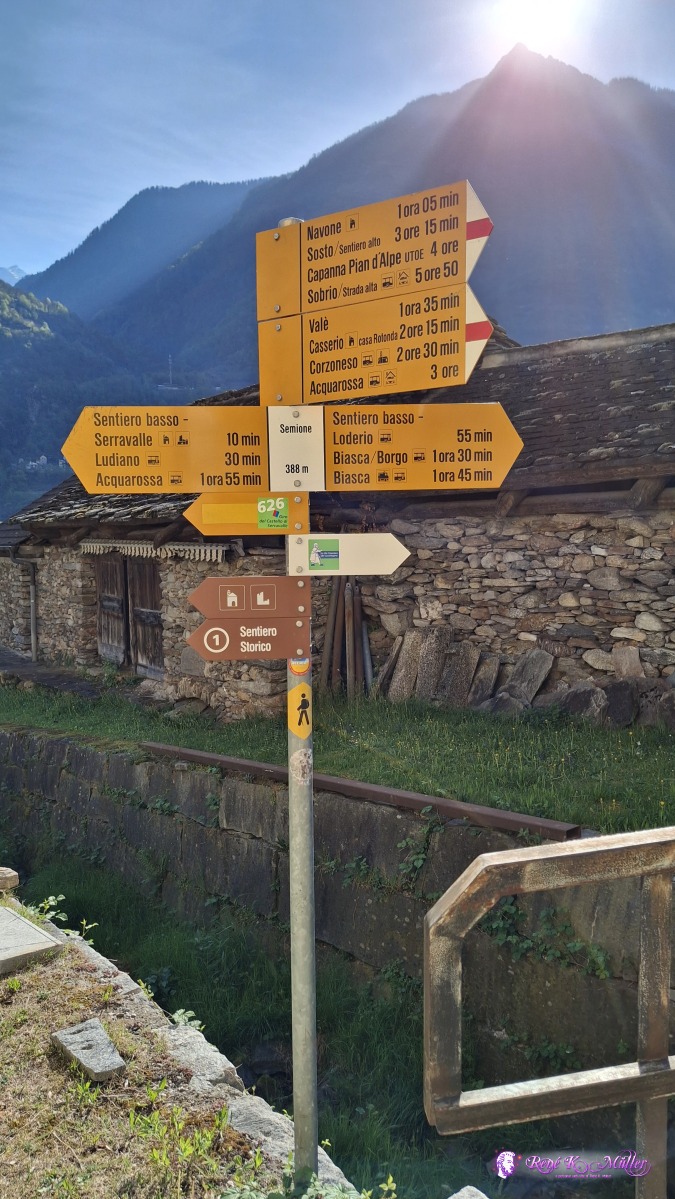 2026/04/18 09:25 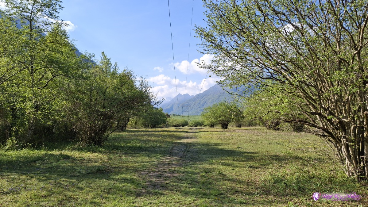 ◈ Serravalle (Δ 412m), 2026/04/18 09:53 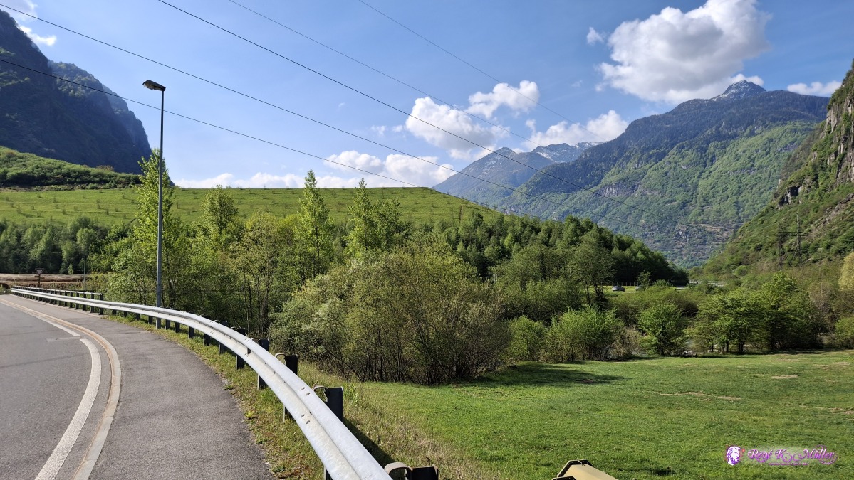 2026/04/18 10:09 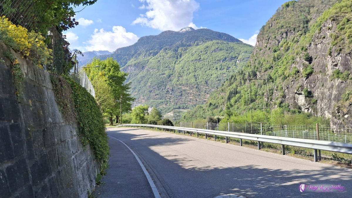 ◈ Piazzora, Biasca (Δ 401m), 2026/04/18 10:24 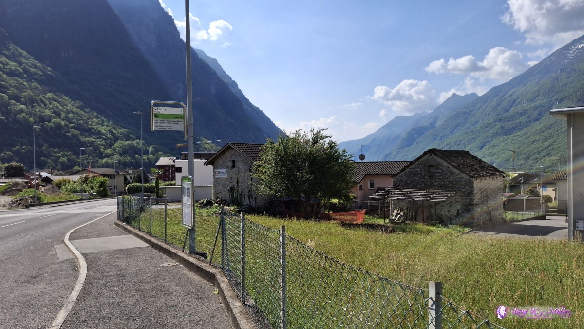 ◈ Piazzora, Biasca (Δ 388m), 2026/04/18 10:34 The hike was rather brief, but the many impressions especially the first day with the more difficult hiking. That's it. Content:
|