
Travel Overview
2026: Various Hikes / Tours
2025: Various Hikes / Tours
2024: Various Hikes / Tours
2023: Hiking Swiss Alps
2023: Various Hikes / Tours
2022: Various Hikes / Tours
2021: Various Hikes / Tours
2020: Hiking Swiss Jura Crest & Alpine Panorama Trail
2020: Hiking Swiss Alps
2020: Various Hikes / Tours
2019: Hiking 4 Days in Swiss Alps, Furka & Grimsel
2019: Hiking 5 Days Gotthard Region
2016: Tour Aare, Les Doubs & Rhein
2015: France & Italy
2014: Central Europe
2013: France & Italy
2012: Italy & France
2011: Europe: Three Tours
 2010: India
2009: France: Two Tours
2008: Tour de Romandie
2008: Zug - Bern - Zug
2008: Strasbourg
2008: Europe
2007: France
2005: France & Italy
2004: USA: Denver - Sedona
2004: Lenzburg - Marseille
2004: La Gomera
2003: Sardinien
2003: La Gomera
2002: Korsika
2002: Bordeaux - Hendaye
1998: Switzerland
1997: USA
1996: USA: Colorado & Arizona
2010: India
2009: France: Two Tours
2008: Tour de Romandie
2008: Zug - Bern - Zug
2008: Strasbourg
2008: Europe
2007: France
2005: France & Italy
2004: USA: Denver - Sedona
2004: Lenzburg - Marseille
2004: La Gomera
2003: Sardinien
2003: La Gomera
2002: Korsika
2002: Bordeaux - Hendaye
1998: Switzerland
1997: USA
1996: USA: Colorado & Arizona
Spirituality Overview
My Experiences with Channeling
Protection of ...
Earthkeeper Vision
Art of Descension
Reincarnation and The Self
Multidimensional Realities
Third Eye
Spiritual Evolution
I Am The Light
Sleeping Humankind
Numbers
Spirit Diary
Quotes
|
"Yes, we can."
Barack Obama |
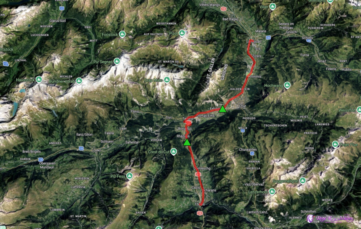
2026: Various Hikes / Tours3 Days Hike March 2026: Landquart - Chur - Thusis
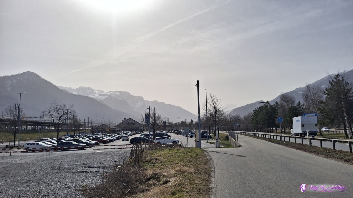
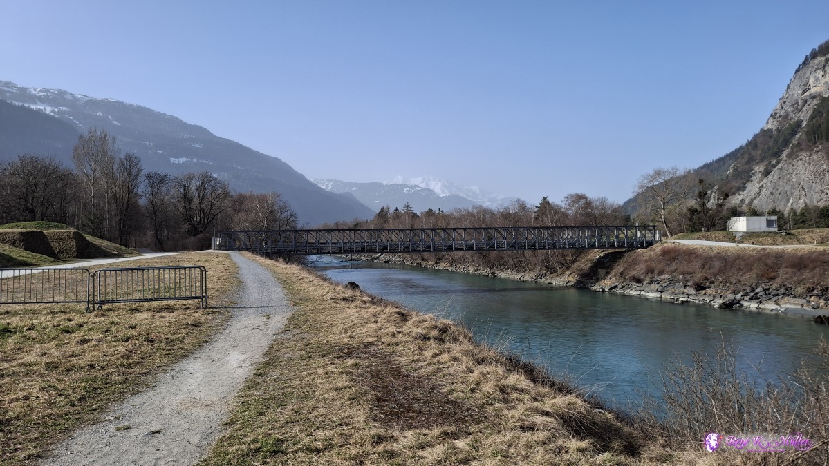
Friday 2026/03/06: Landquart - ChurStarting the hike at Landquart, and along the Rhein river and the nice trail close to the river - the trees slowly grow leaves now, it's 12-15°C with south-wind. Even though the hike is flat, it's nevertheless beautiful and scenic - eventually reach outskirt of Chur and find a nice spot in the bush for tonight.
 ◈ Igis (Δ 575m), 2026/03/06 11:39 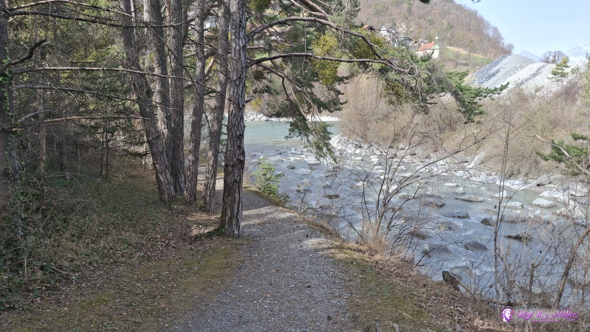 ◈ Igis (Δ 577m), 2026/03/06 11:42 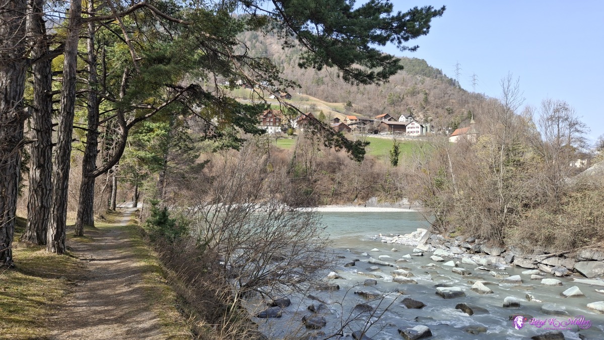 ◈ Igis (Δ 567m), 2026/03/06 11:43 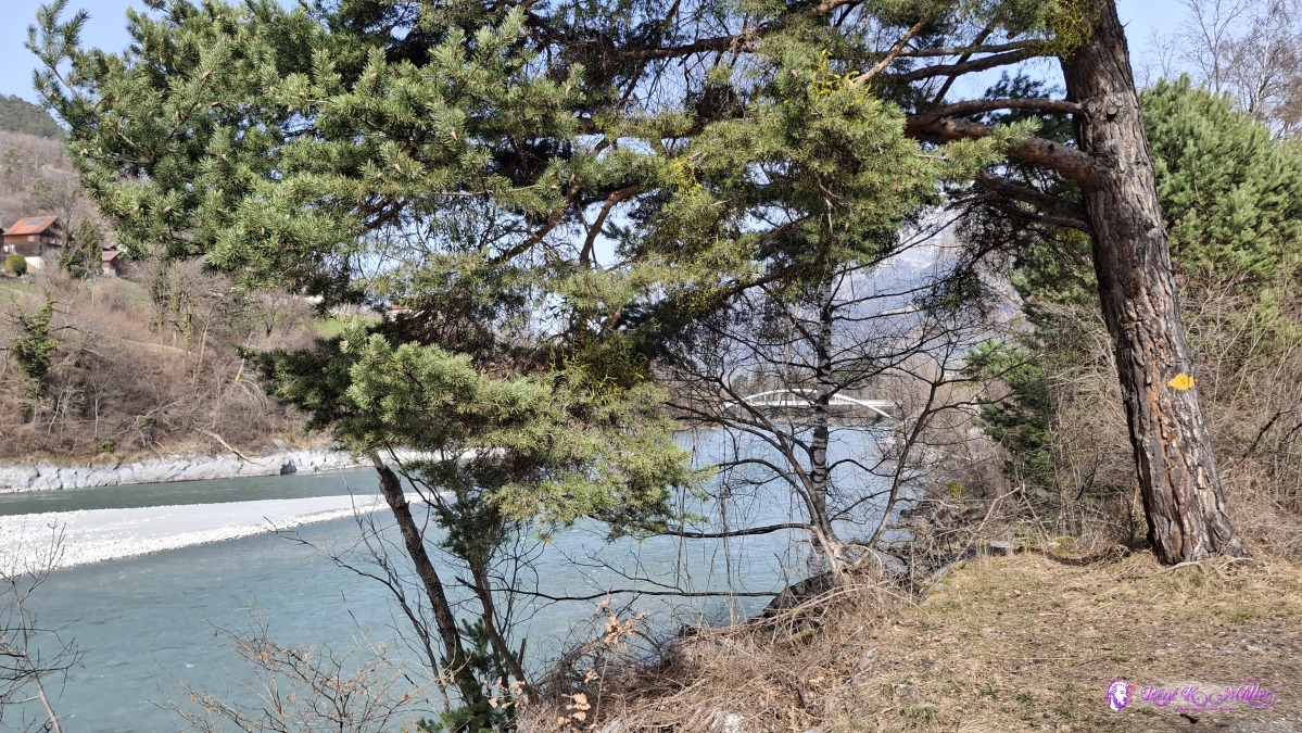 2026/03/06 11:55 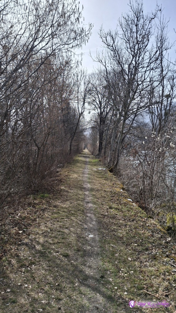 ◈ Igis (Δ 571m), 2026/03/06 11:55 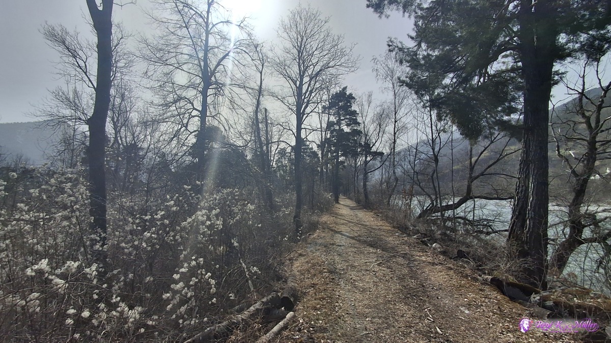 2026/03/06 12:02 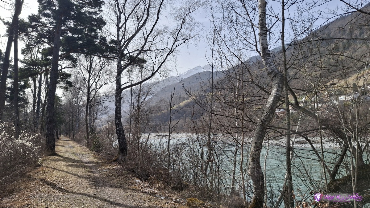 ◈ Igis (Δ 571m), 2026/03/06 12:02 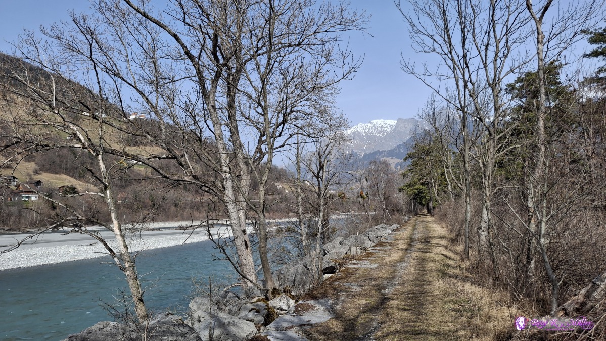 2026/03/06 12:08 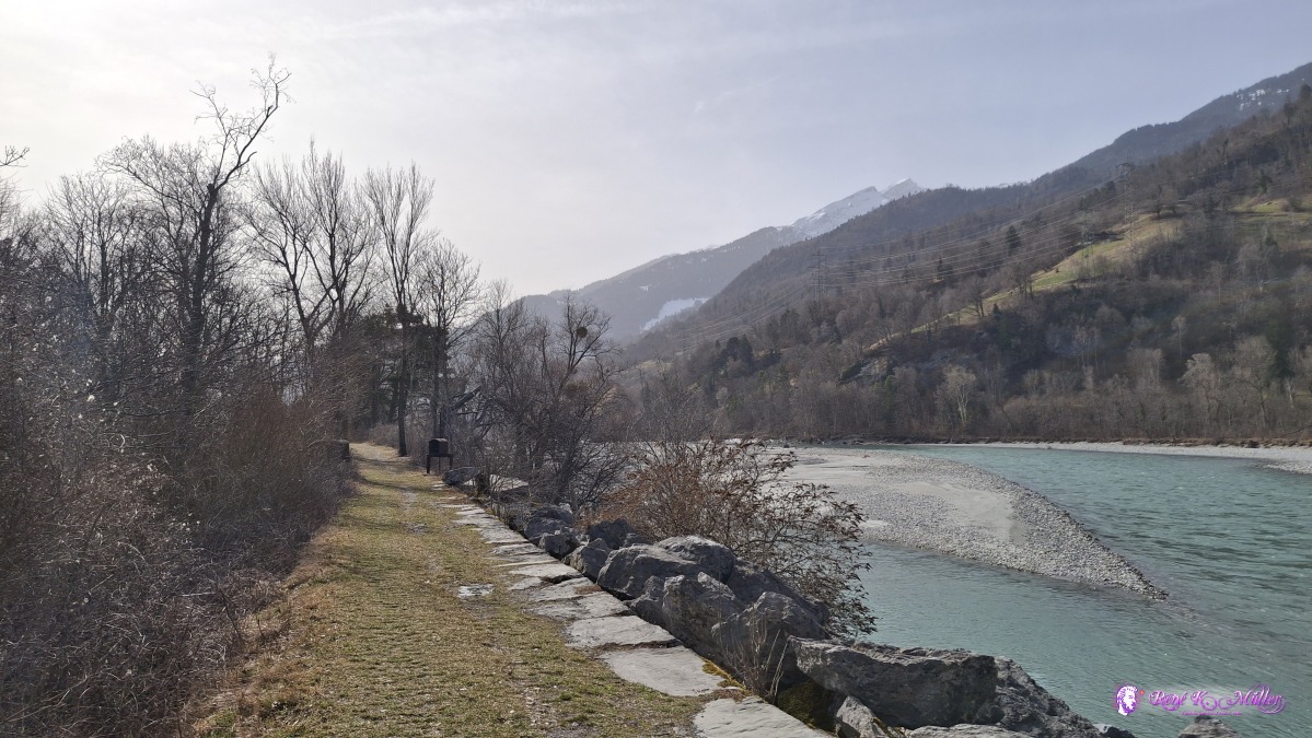 ◈ Zizers (Δ 566m), 2026/03/06 12:08 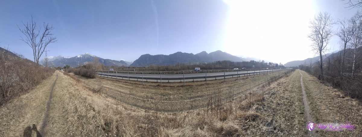 ◈ Zizers (Δ 570m), 2026/03/06 12:14 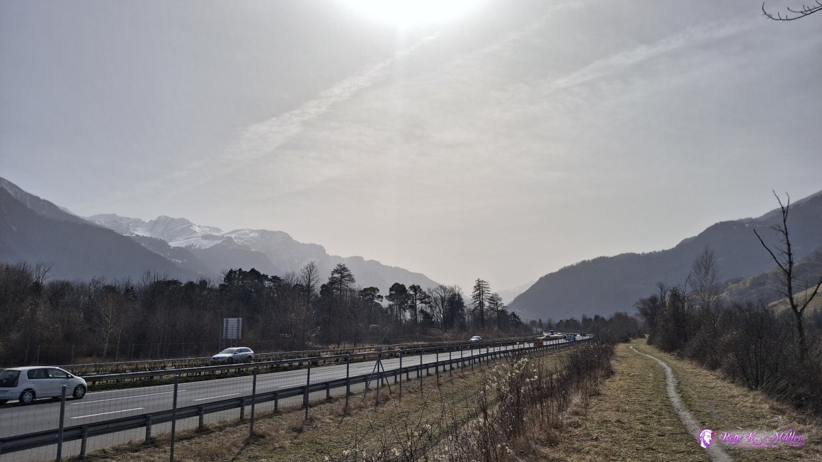 ◈ Zizers (Δ 578m), 2026/03/06 12:14 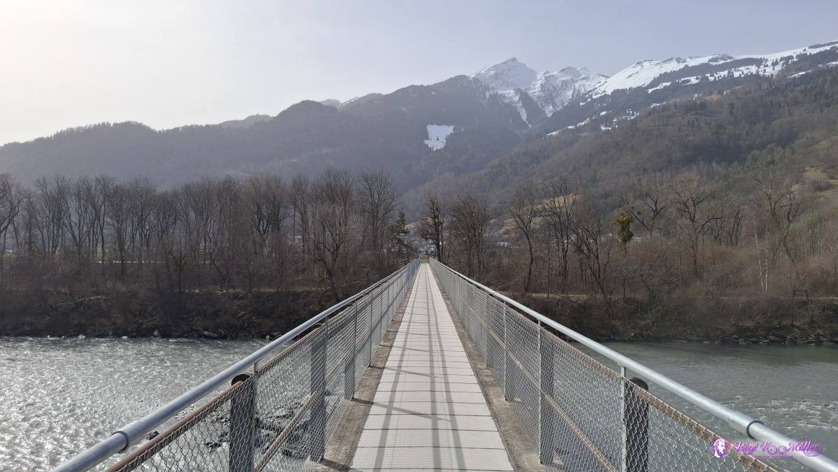 ◈ Zizers (Δ 602m), 2026/03/06 12:41 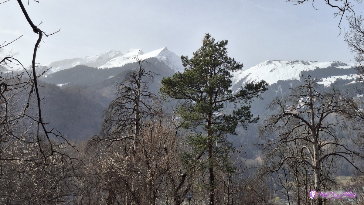 ◈ Untervaz (Δ 616m), 2026/03/06 13:04 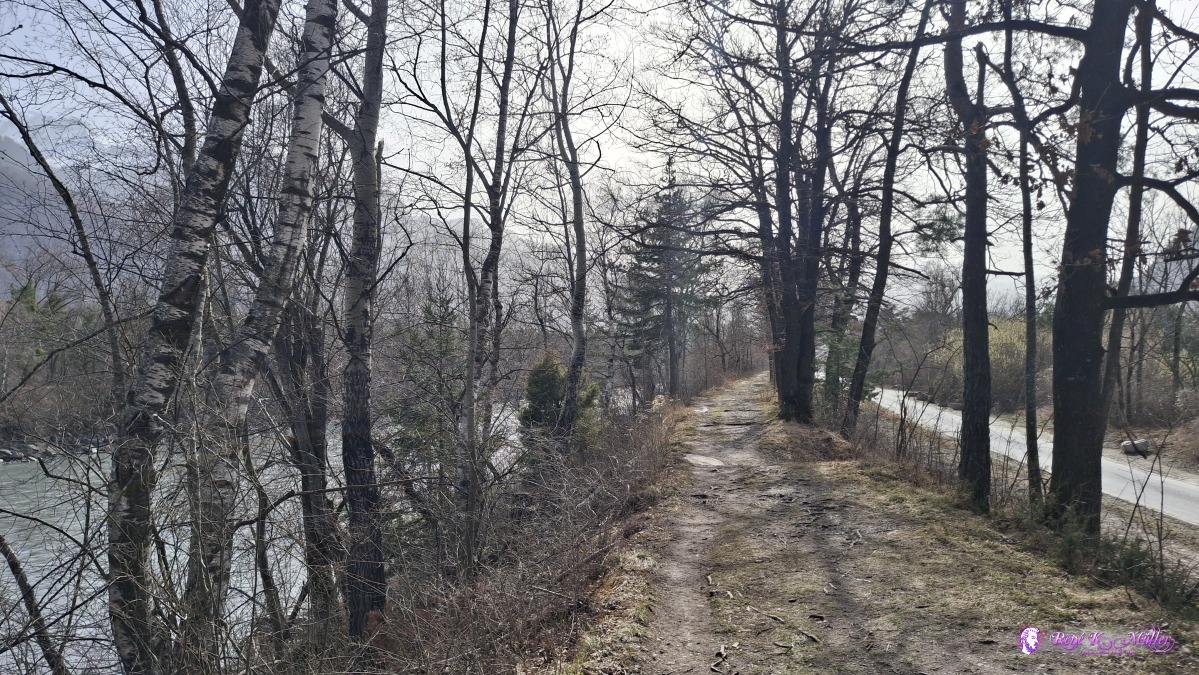 ◈ Untervaz (Δ 616m), 2026/03/06 13:05 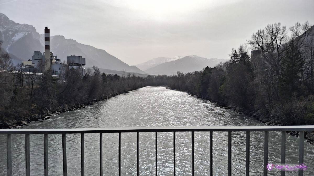 ◈ Trimmis (Δ 600m), 2026/03/06 13:17 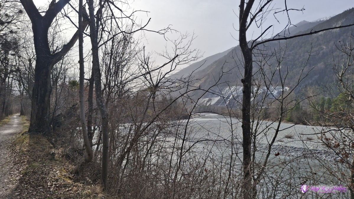 2026/03/06 13:25 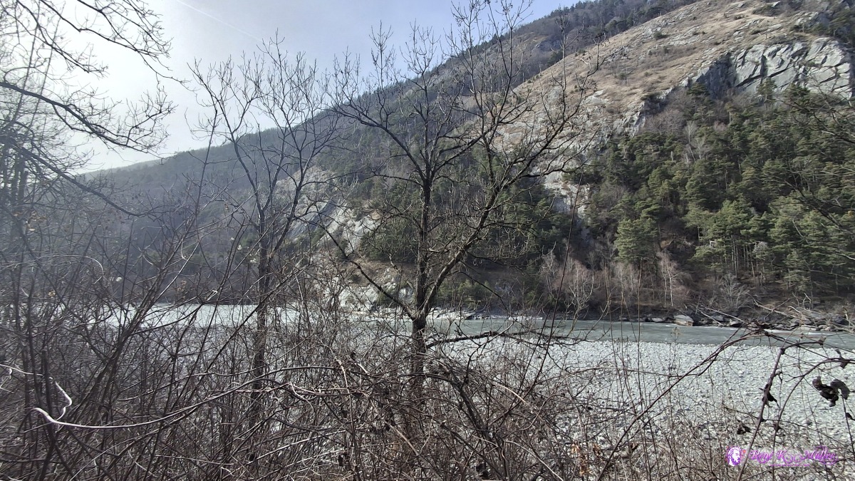 ◈ Trimmis (Δ 601m), 2026/03/06 13:47 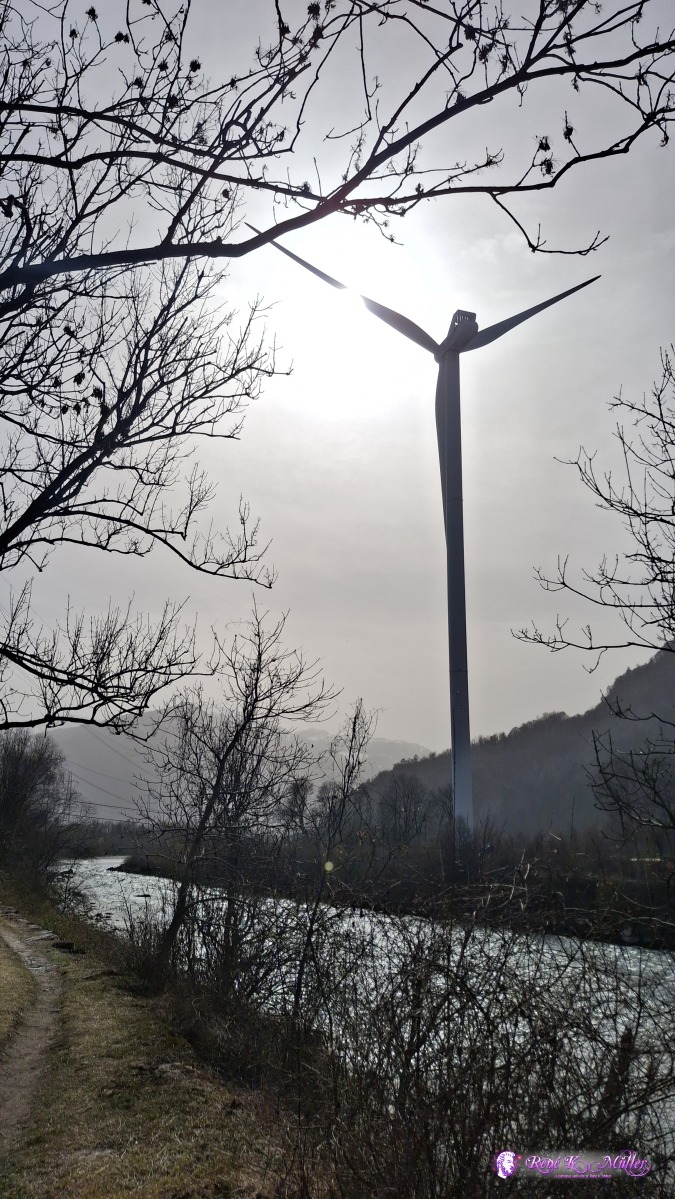 ◈ Says (Δ 608m), 2026/03/06 14:01 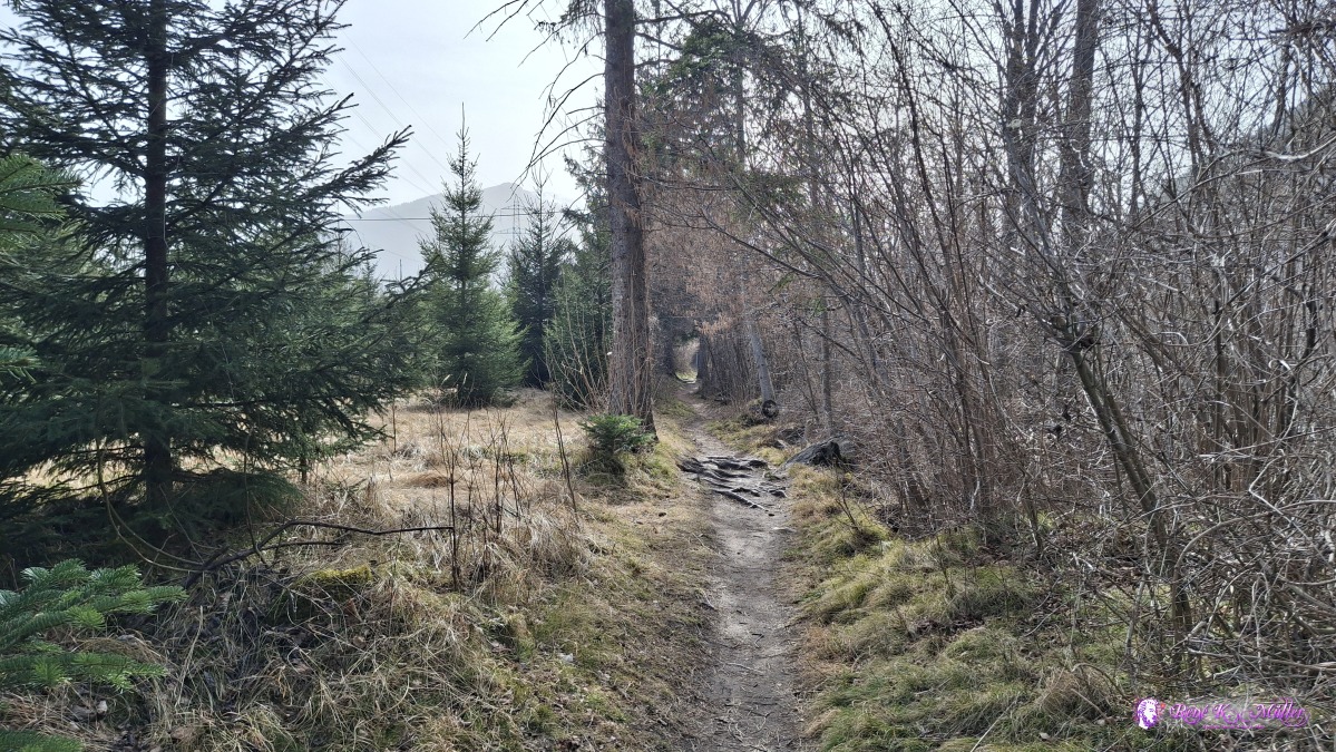 ◈ Haldenstein (Δ 605m), 2026/03/06 14:16 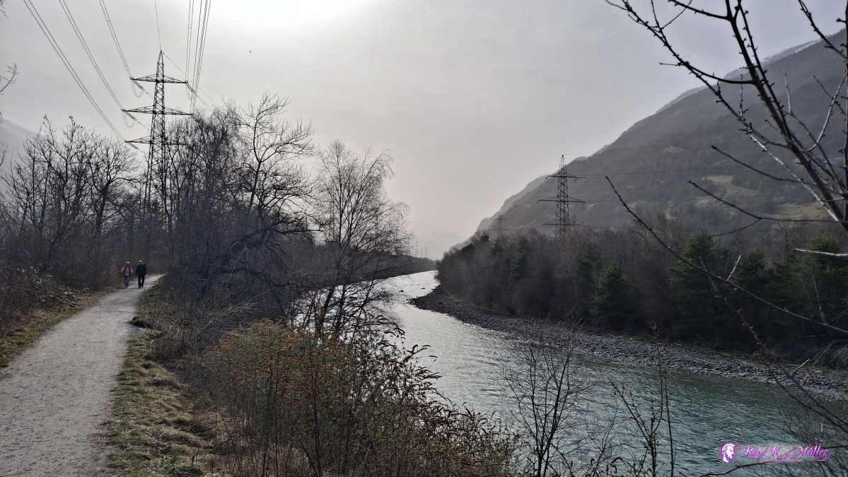 ◈ Haldenstein (Δ 607m), 2026/03/06 14:50 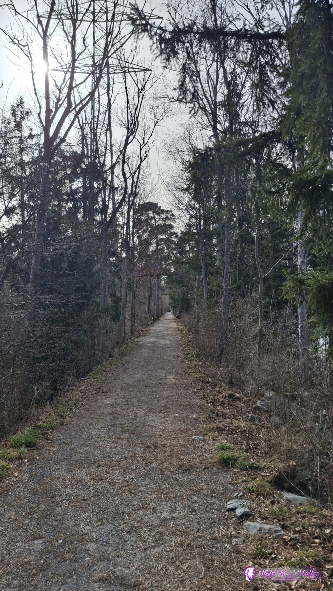 2026/03/06 14:58 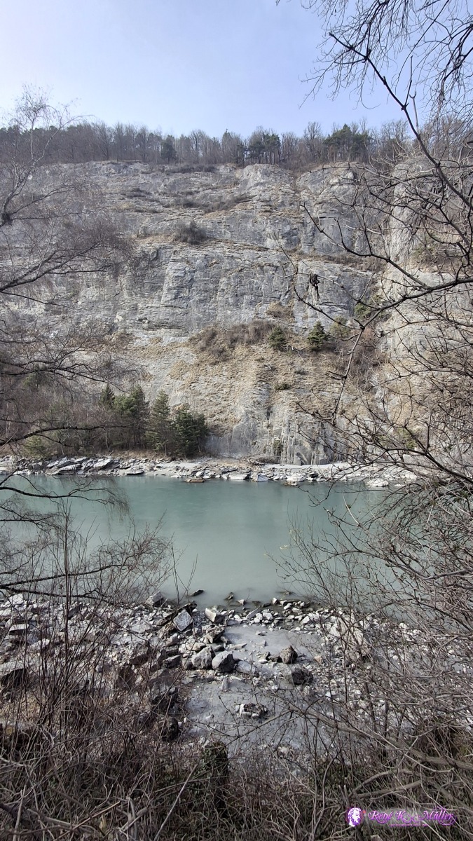 2026/03/06 15:15 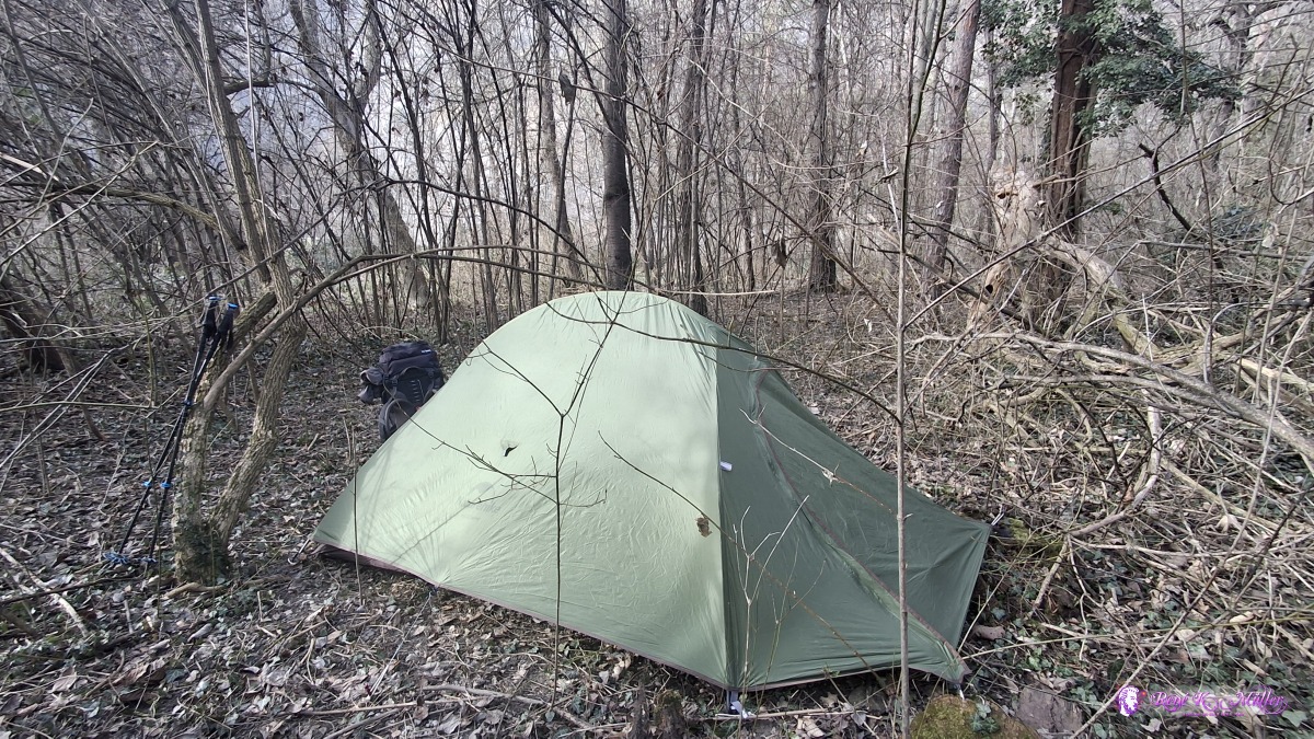 2026/03/06 15:48 Saturday 2026/03/07: Chur - RhaezuensGood sleep, mild temperatures ~5°C - the sun hits the tent, and I pack all and leave ~9:45, further south-west, passing Feldberg, and then Tamins - crossing over the Rhein and along almost like a circle, and ascend to Rhaezuens - outside of the village, apprx. 30min along the Rhein I find my place for tonight, ~15:00.
 2026/03/07 09:50 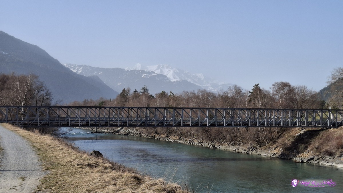 2026/03/07 09:50 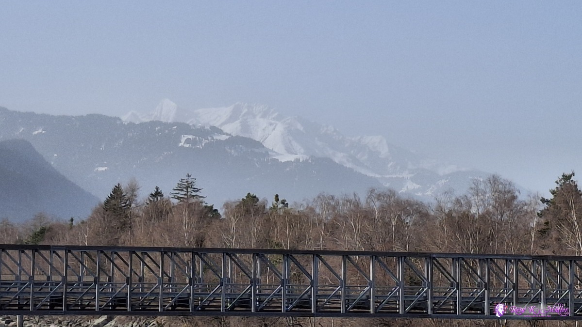 2026/03/07 09:50 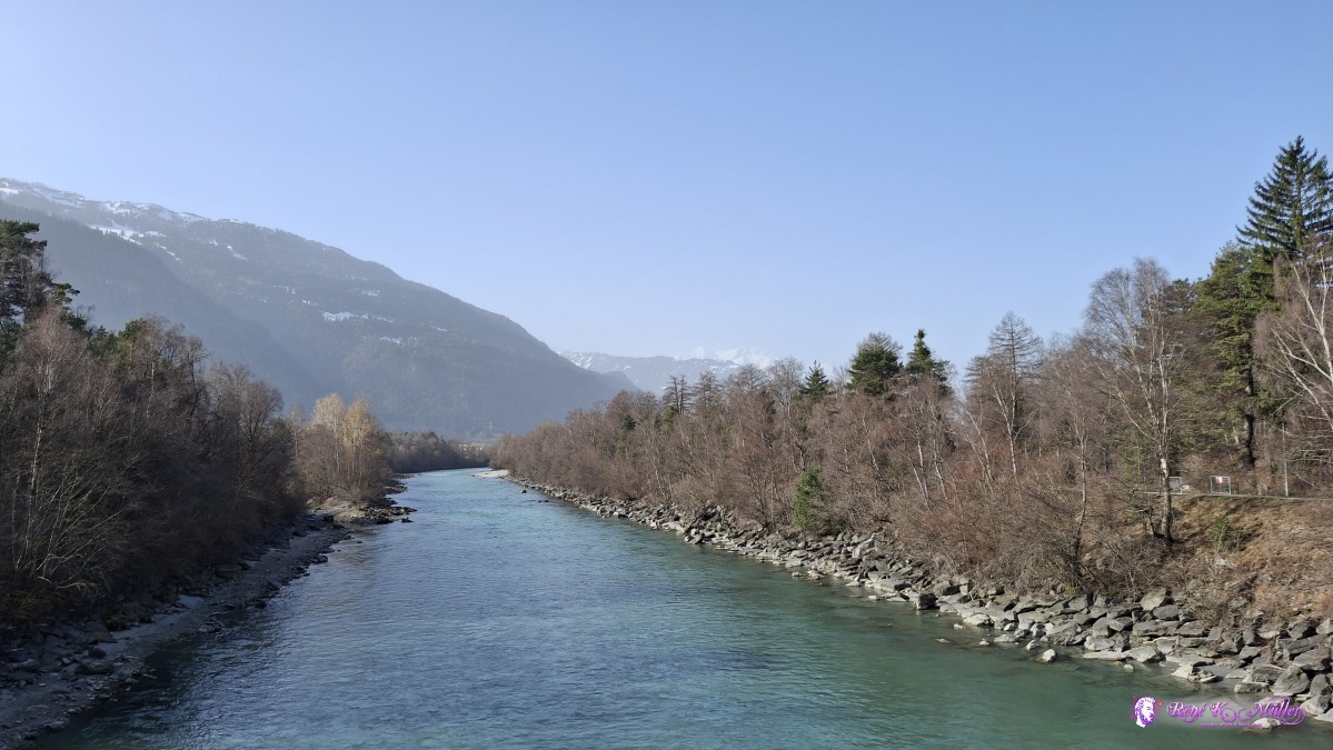 2026/03/07 09:55 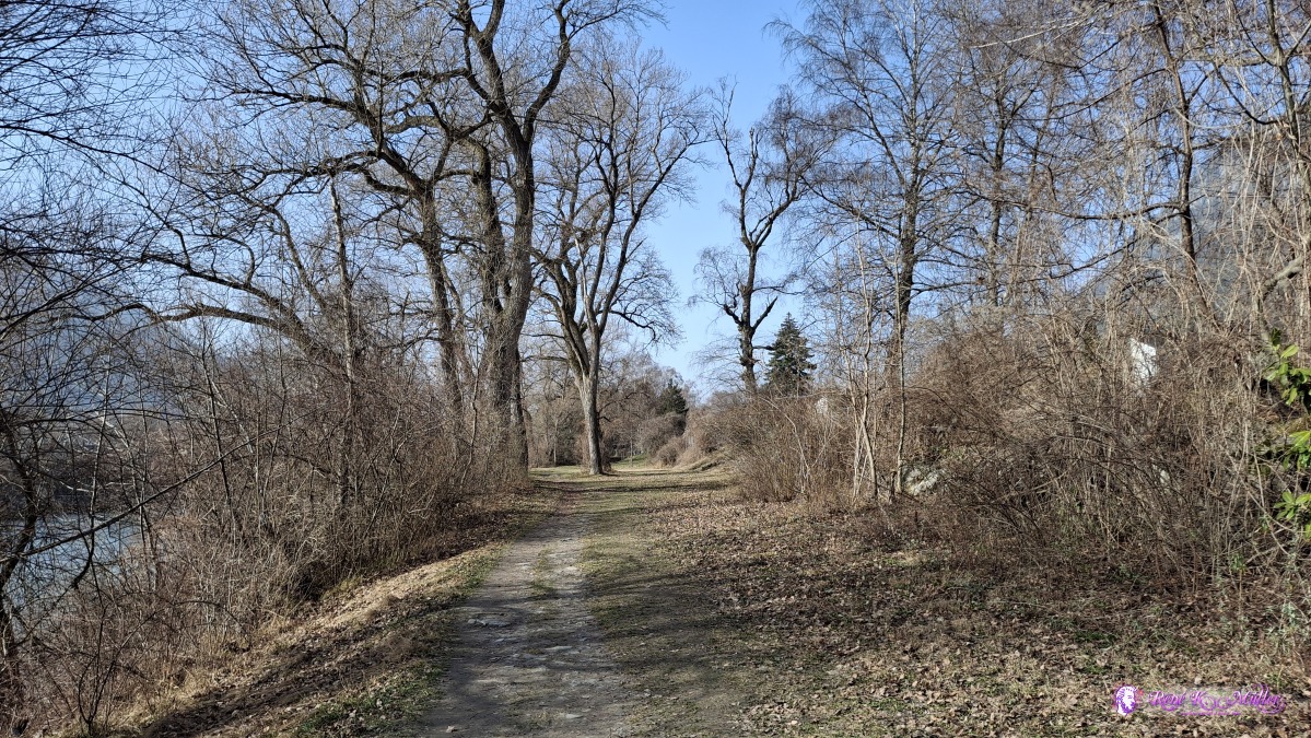 2026/03/07 10:07 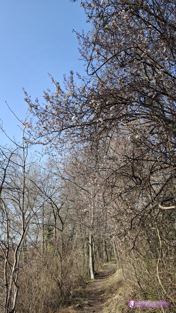 2026/03/07 10:12 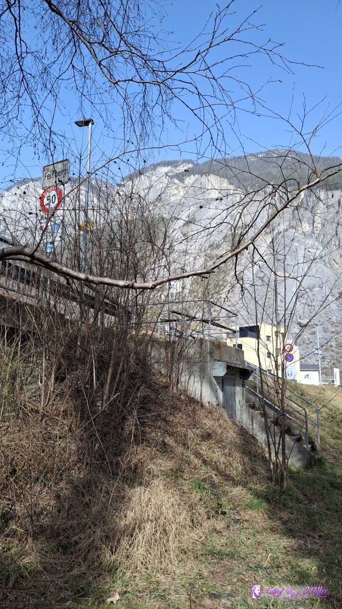 2026/03/07 10:15 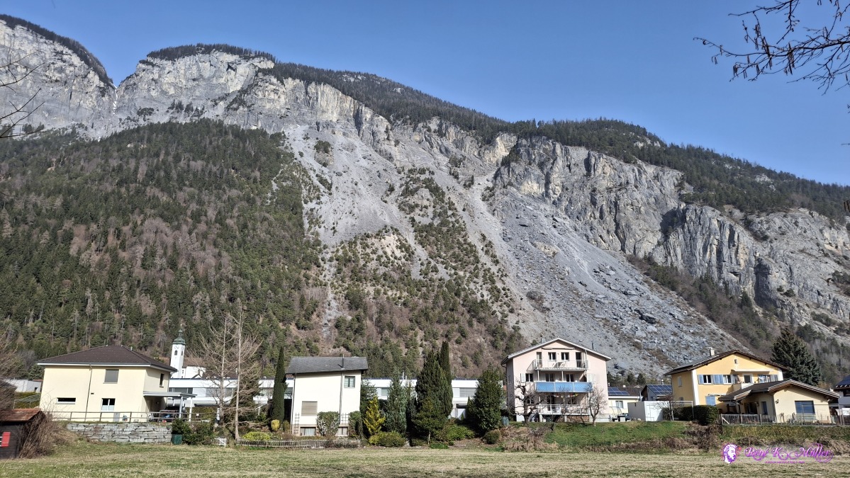 2026/03/07 10:23 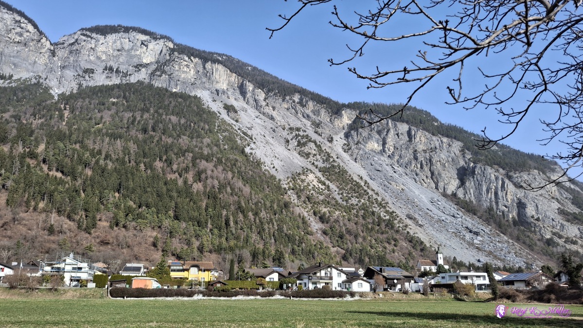 ◈ Domat/Ems (Δ 634m), 2026/03/07 10:27 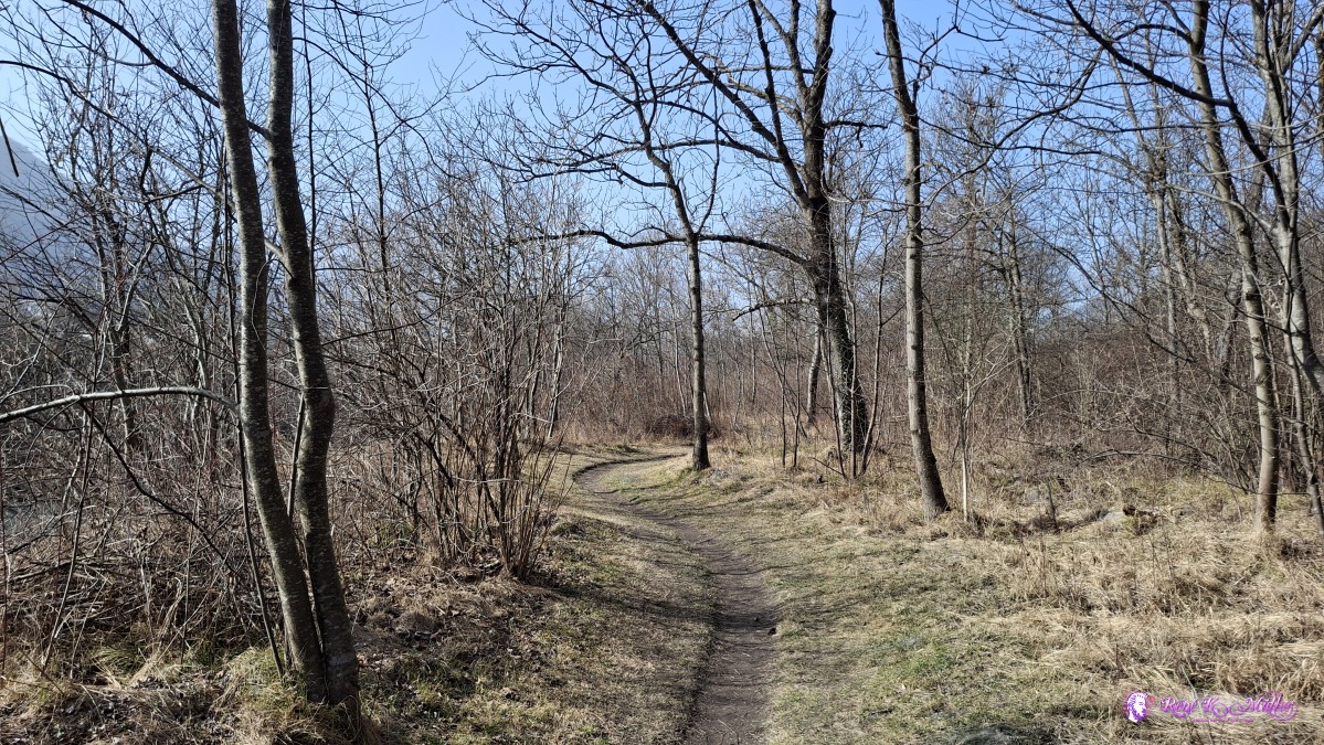 2026/03/07 10:36 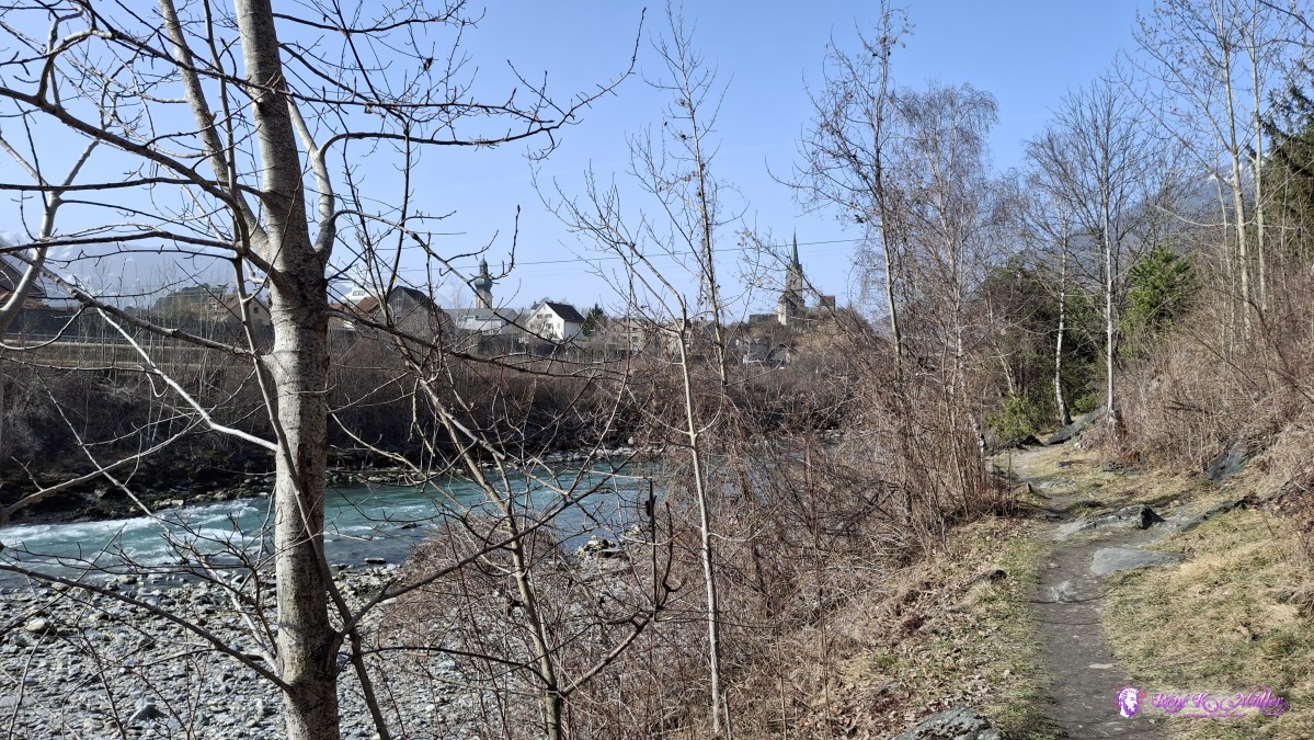 2026/03/07 10:41 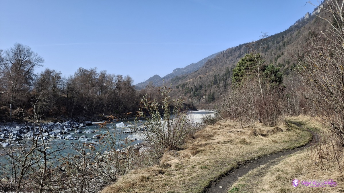 ◈ Felsberg (Δ 628m), 2026/03/07 10:51 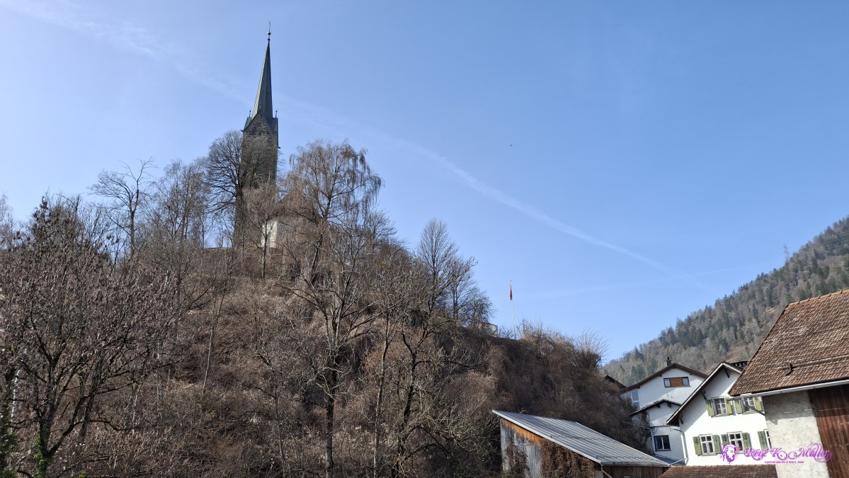 2026/03/07 11:35 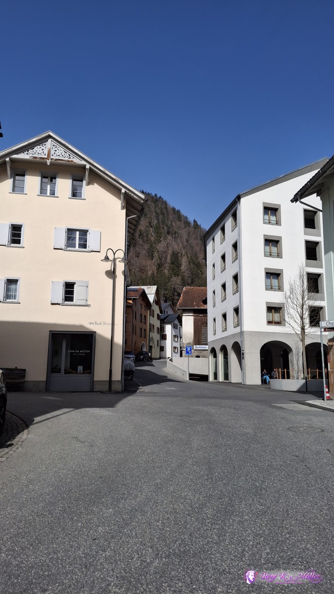 ◈ Reichenau, Tamins (Δ 702m), 2026/03/07 11:43 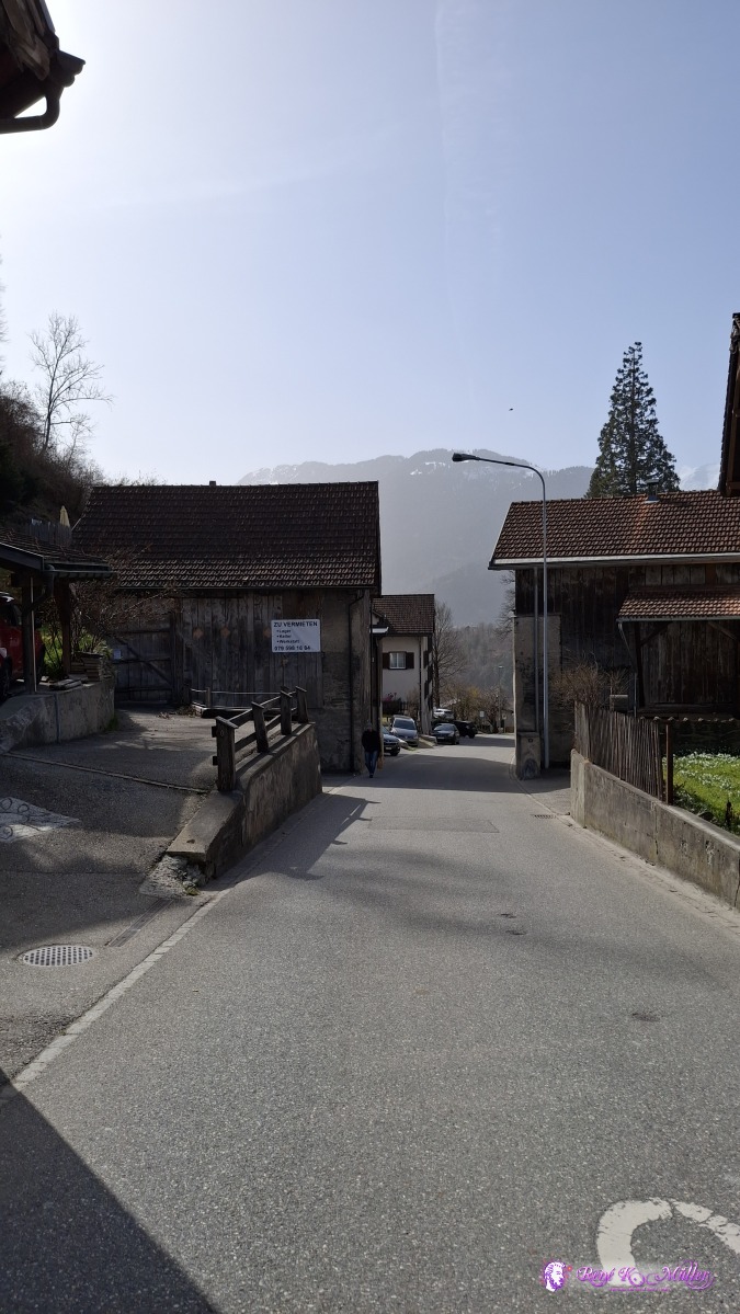 ◈ Reichenau, Tamins (Δ 730m), 2026/03/07 11:43 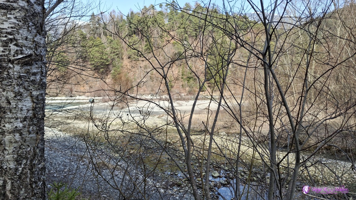 ◈ Bonaduz (Δ 653m), 2026/03/07 12:18 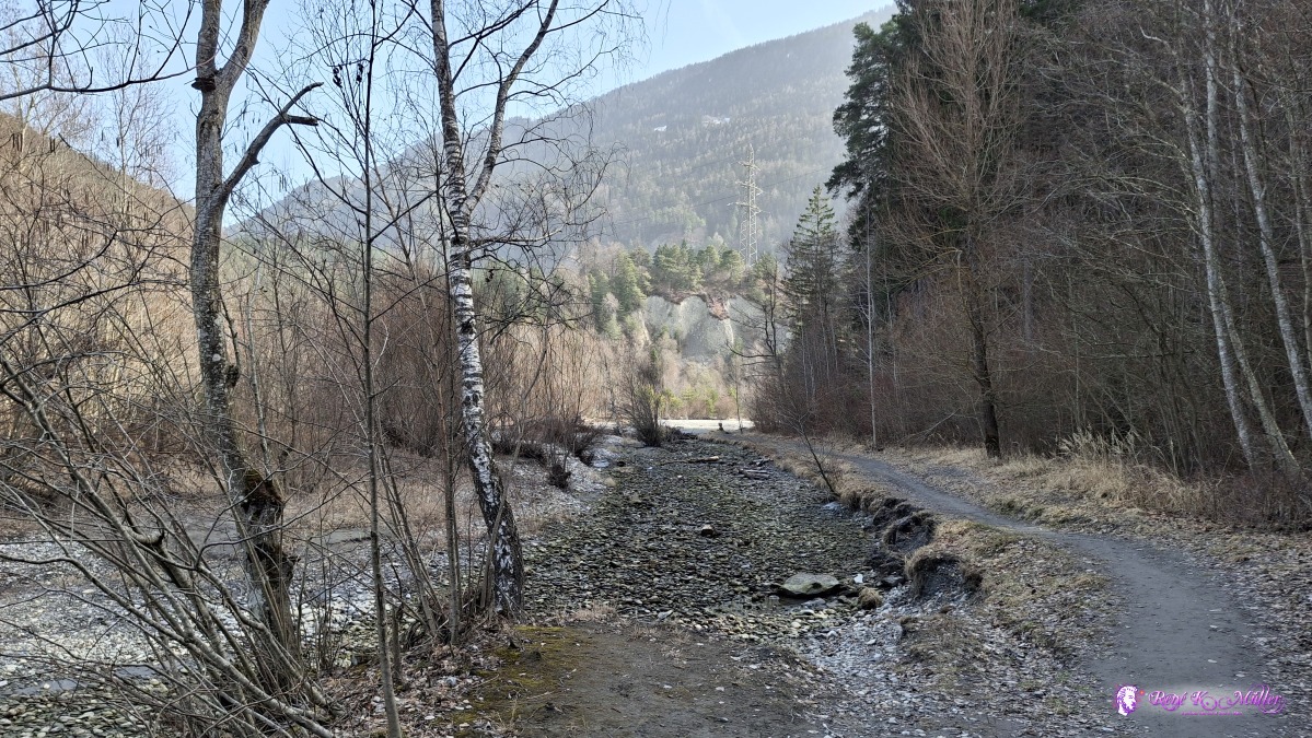 ◈ Bonaduz (Δ 653m), 2026/03/07 12:18 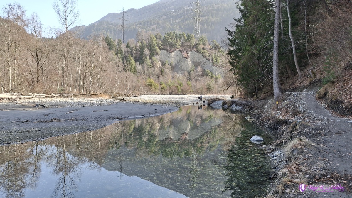 ◈ Bonaduz (Δ 657m), 2026/03/07 12:20 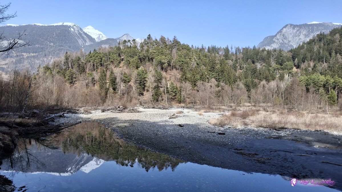 ◈ Bonaduz (Δ 648m), 2026/03/07 12:21 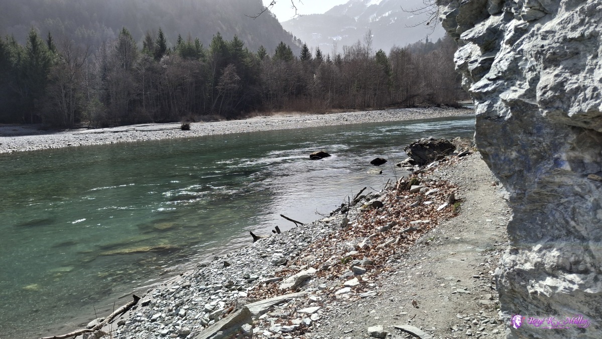 ◈ Bonaduz (Δ 657m), 2026/03/07 12:24 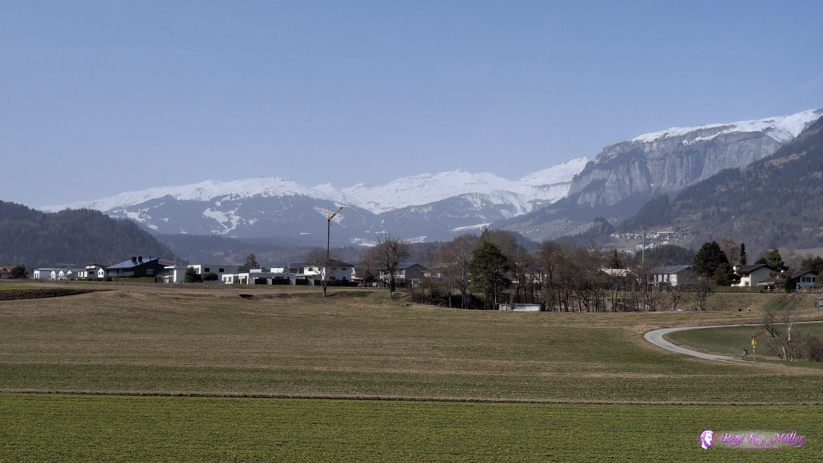 ◈ Bonaduz (Δ 707m), 2026/03/07 12:40 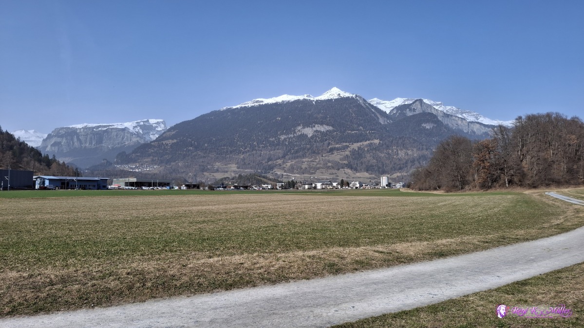 ◈ Rhäzüns (Δ 700m), 2026/03/07 13:35 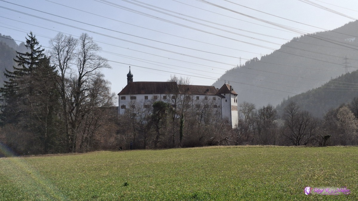 ◈ Rhäzüns (Δ 699m), 2026/03/07 13:36 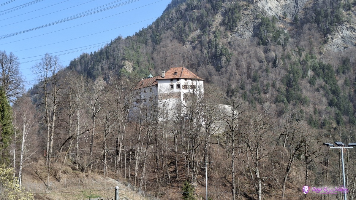 ◈ Rhäzüns (Δ 727m), 2026/03/07 13:52 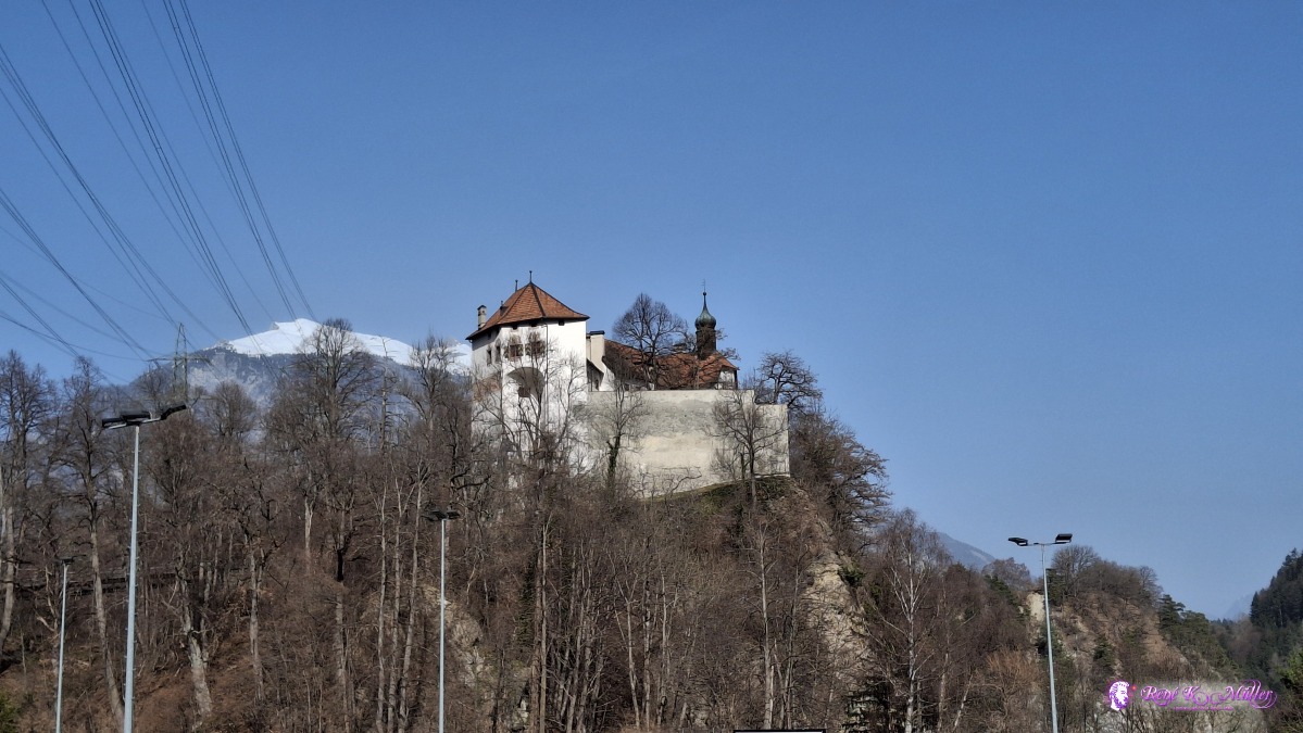 ◈ Rhäzüns (Δ 703m), 2026/03/07 13:54 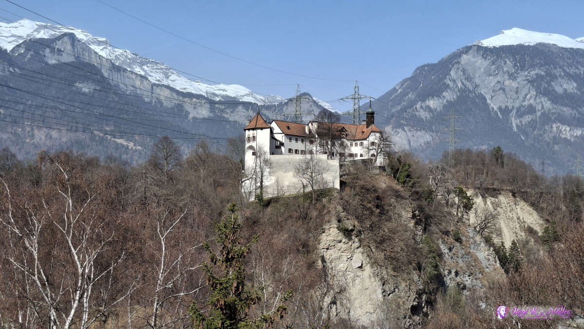 ◈ Rhäzüns (Δ 712m), 2026/03/07 13:57 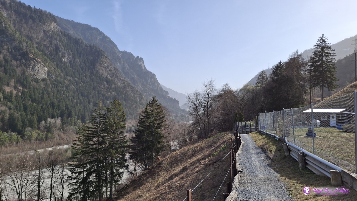 ◈ Rhäzüns (Δ 709m), 2026/03/07 13:58 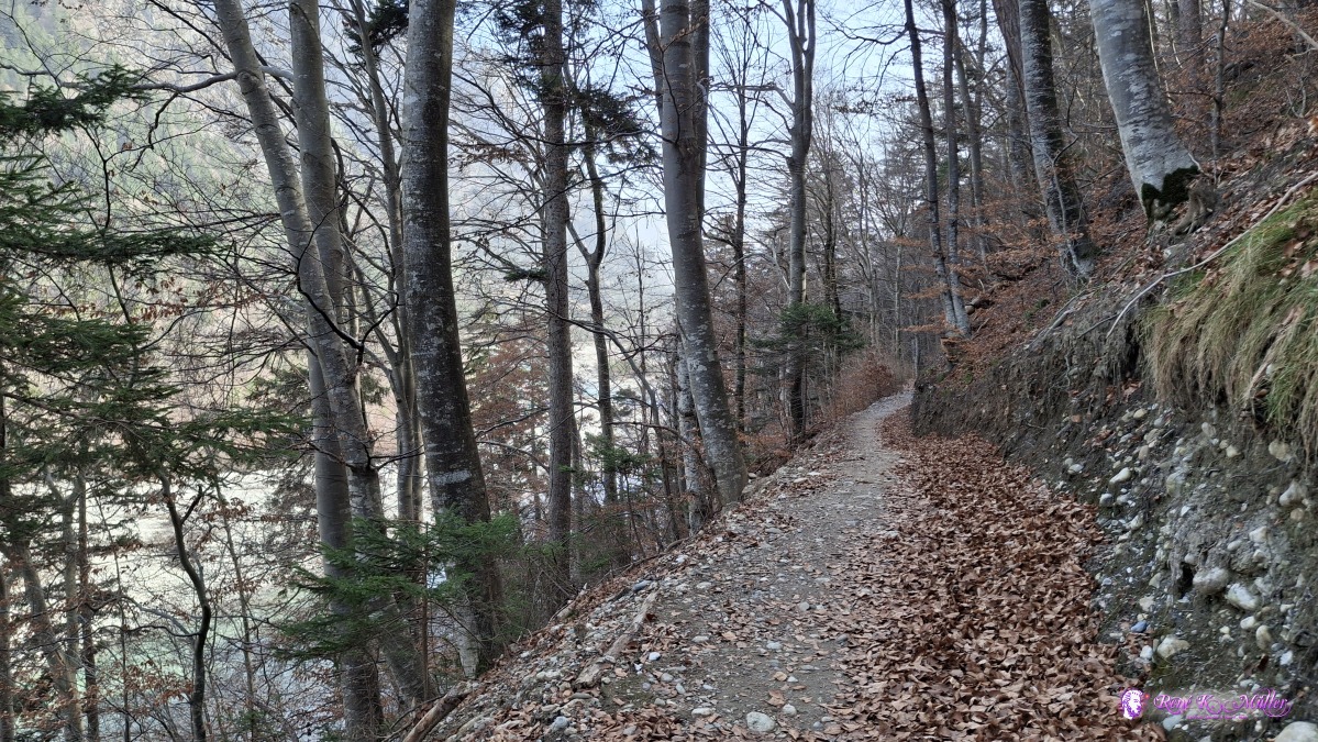 2026/03/07 14:06 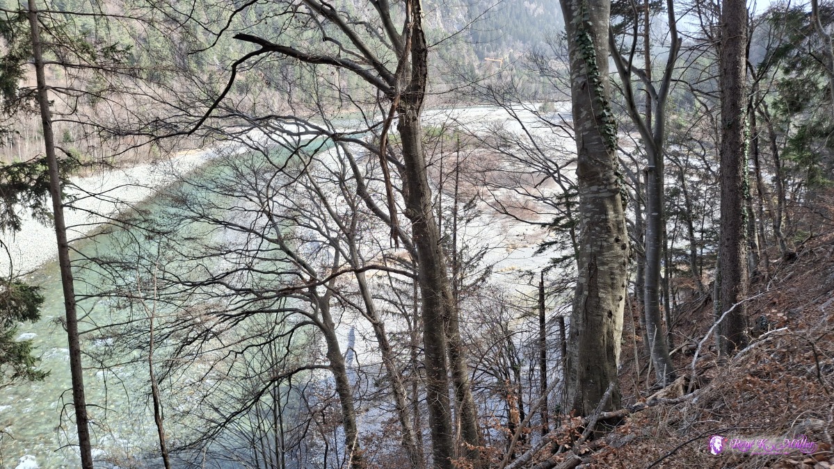 ◈ Rhäzüns (Δ 693m), 2026/03/07 14:10 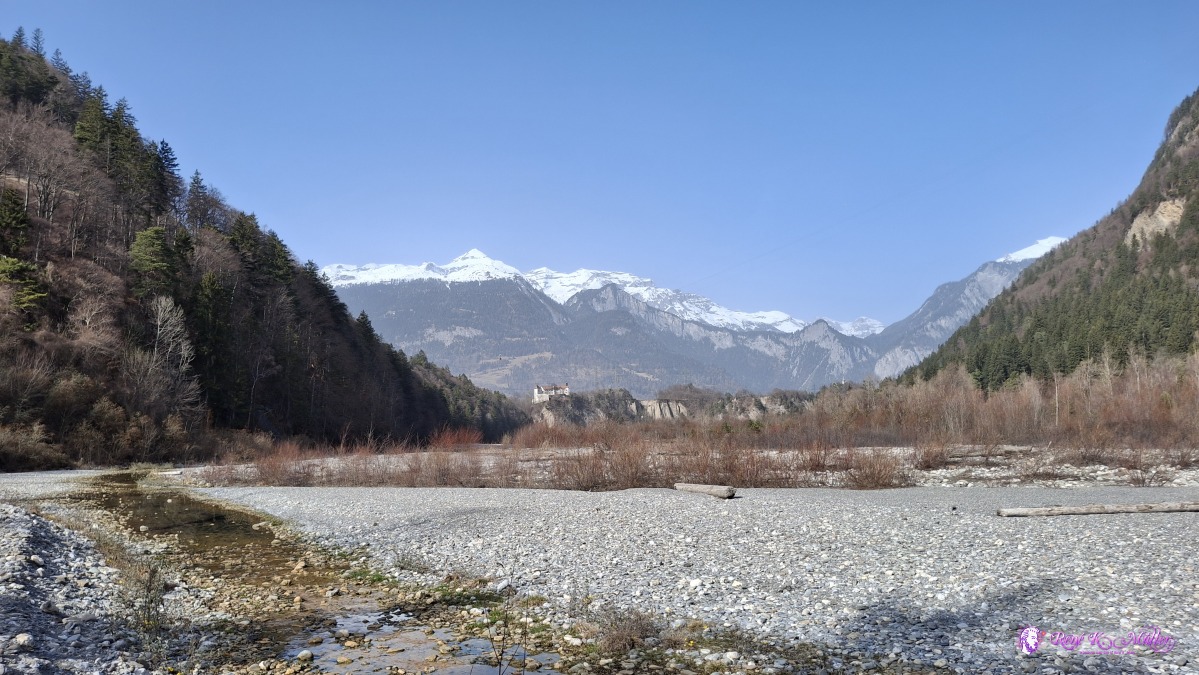 2026/03/07 14:16 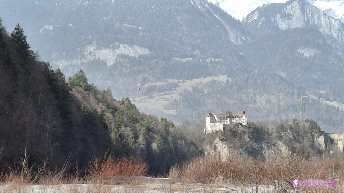 ◈ Rhäzüns (Δ 667m), 2026/03/07 14:16 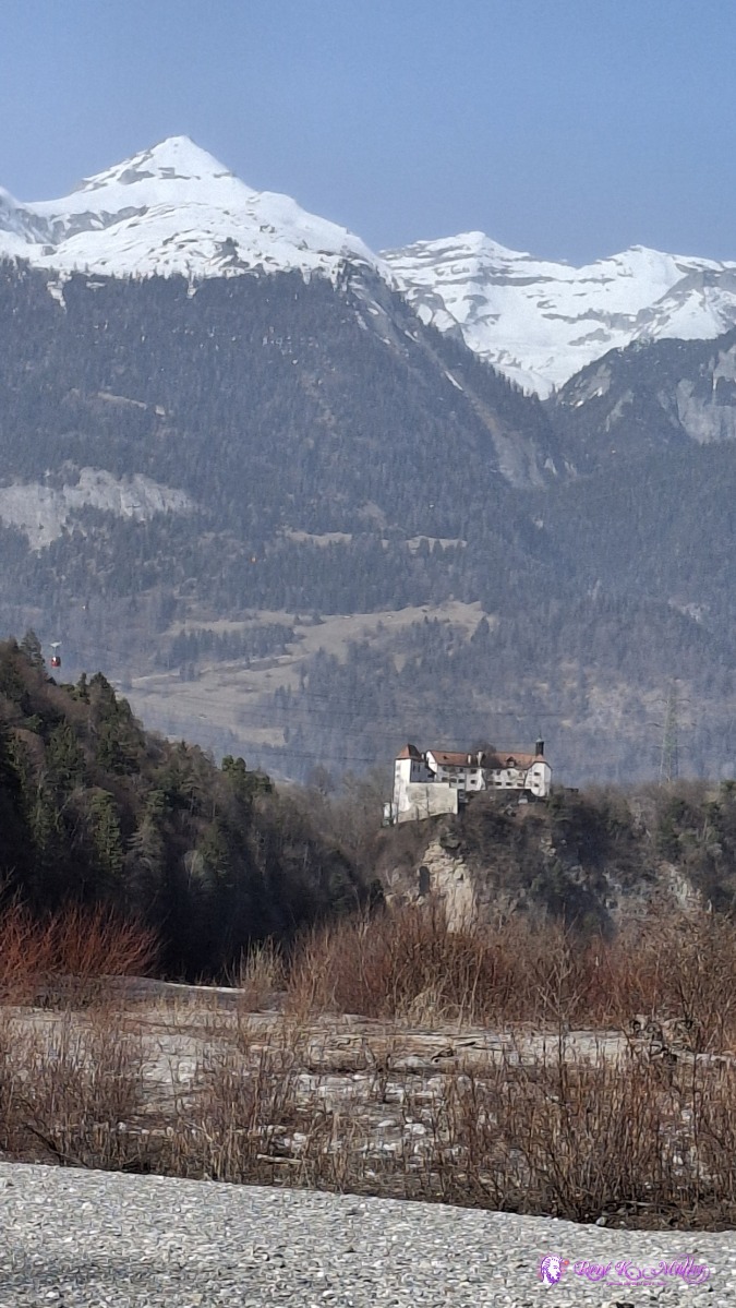 ◈ Rhäzüns (Δ 667m), 2026/03/07 14:16 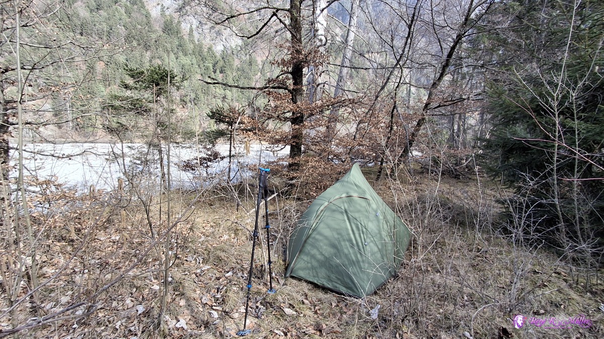 ◈ Rothenbrunnen (Δ 665m), 2026/03/07 14:54 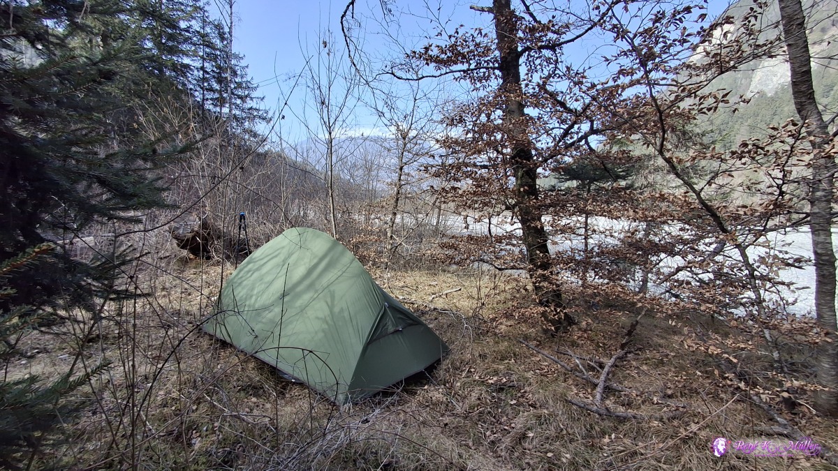 ◈ Rothenbrunnen (Δ 663m), 2026/03/07 14:55 Sunday 2026/03/08: Rhaezuens - ThusisChilly night, the sun gits the tent late and nearby trees cast a shadow - late departure ~10:30, and changing side (right-hand side) of the Rhein, a bit along the highway, but then beautful pine forest as I approach Thusis. The mountains covered in snow, 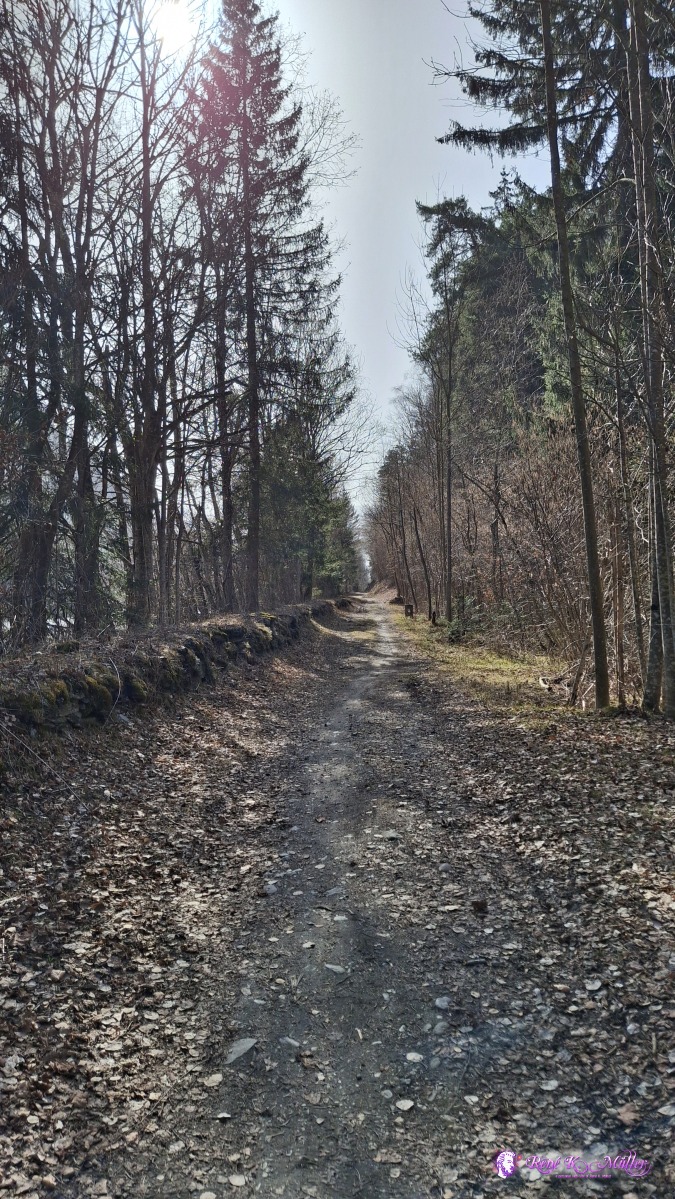 2026/03/08 10:35 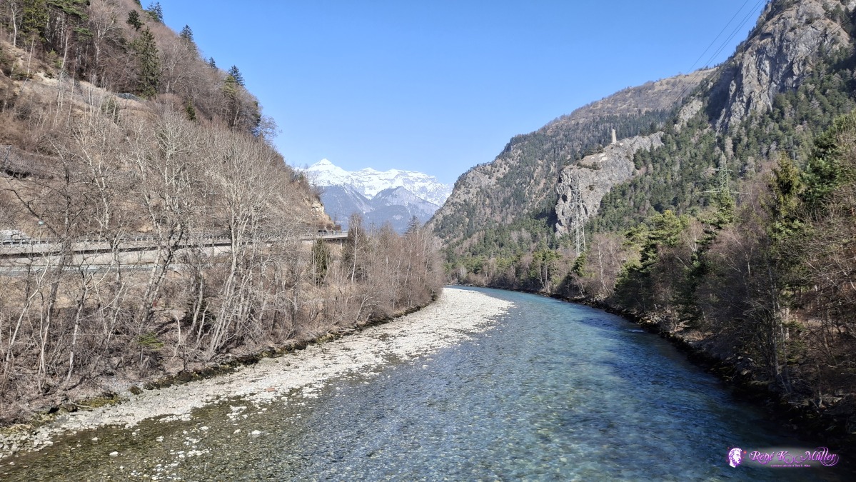 ◈ Ravetg (Δ 672m), 2026/03/08 11:02 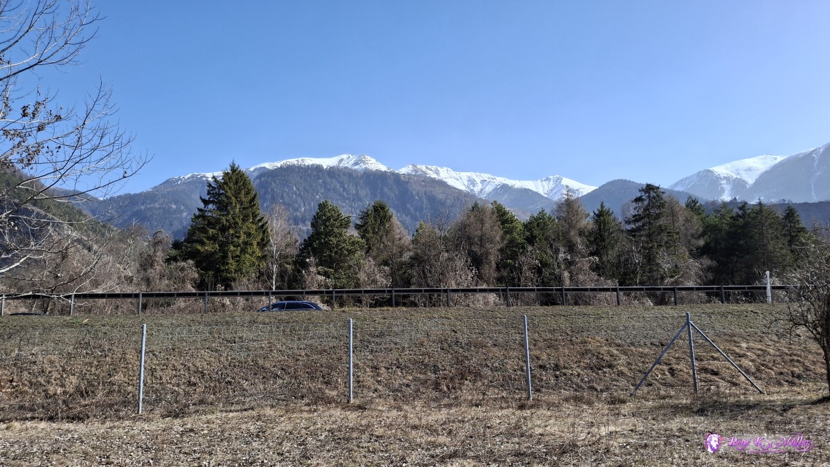 2026/03/08 11:33 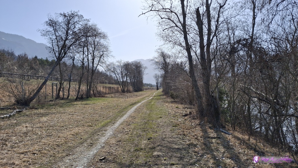 ◈ Tomils (Δ 681m), 2026/03/08 11:33 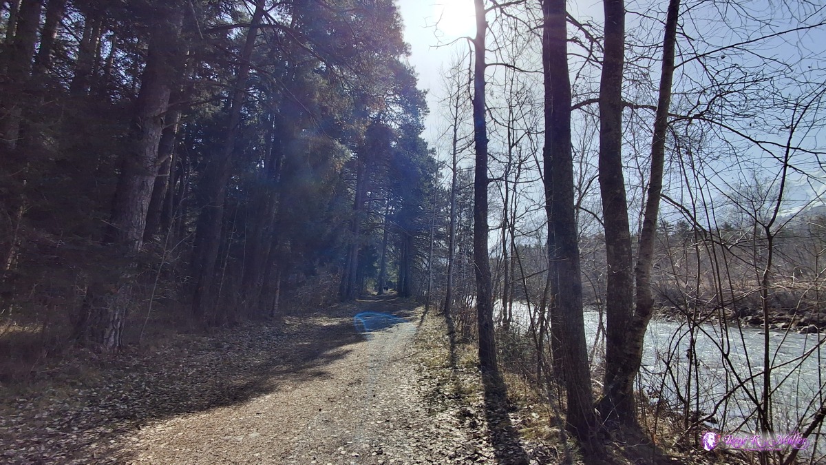 ◈ Rodels (Δ 706m), 2026/03/08 12:11 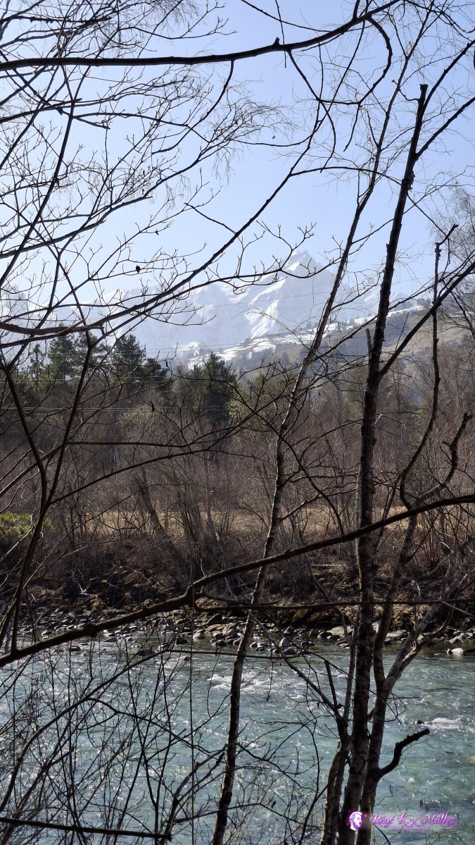 ◈ Rodels (Δ 706m), 2026/03/08 12:11 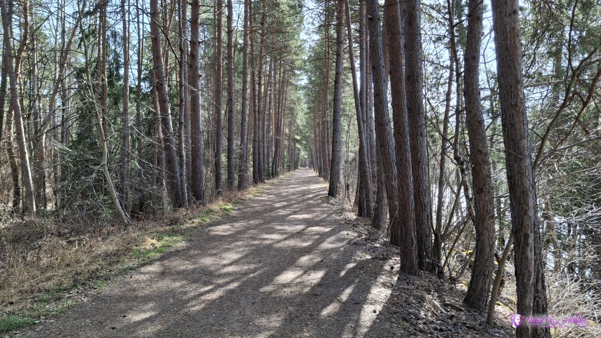 2026/03/08 12:35 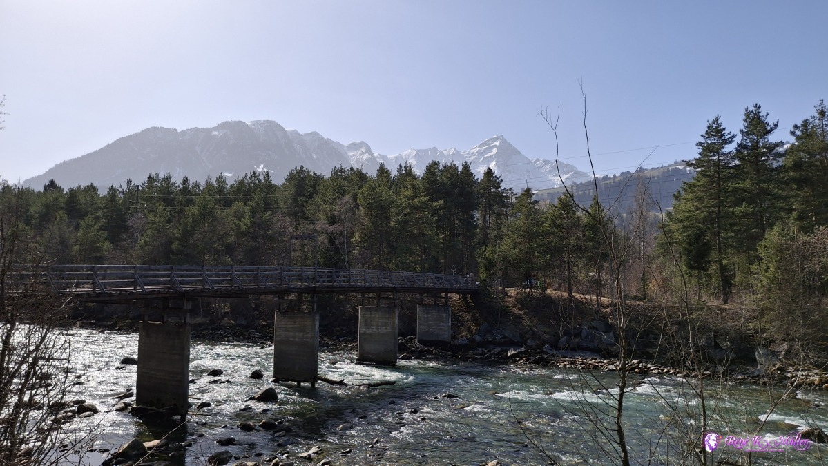 ◈ Marktplatz, Fürstenaubruck (Δ 712m), 2026/03/08 12:39 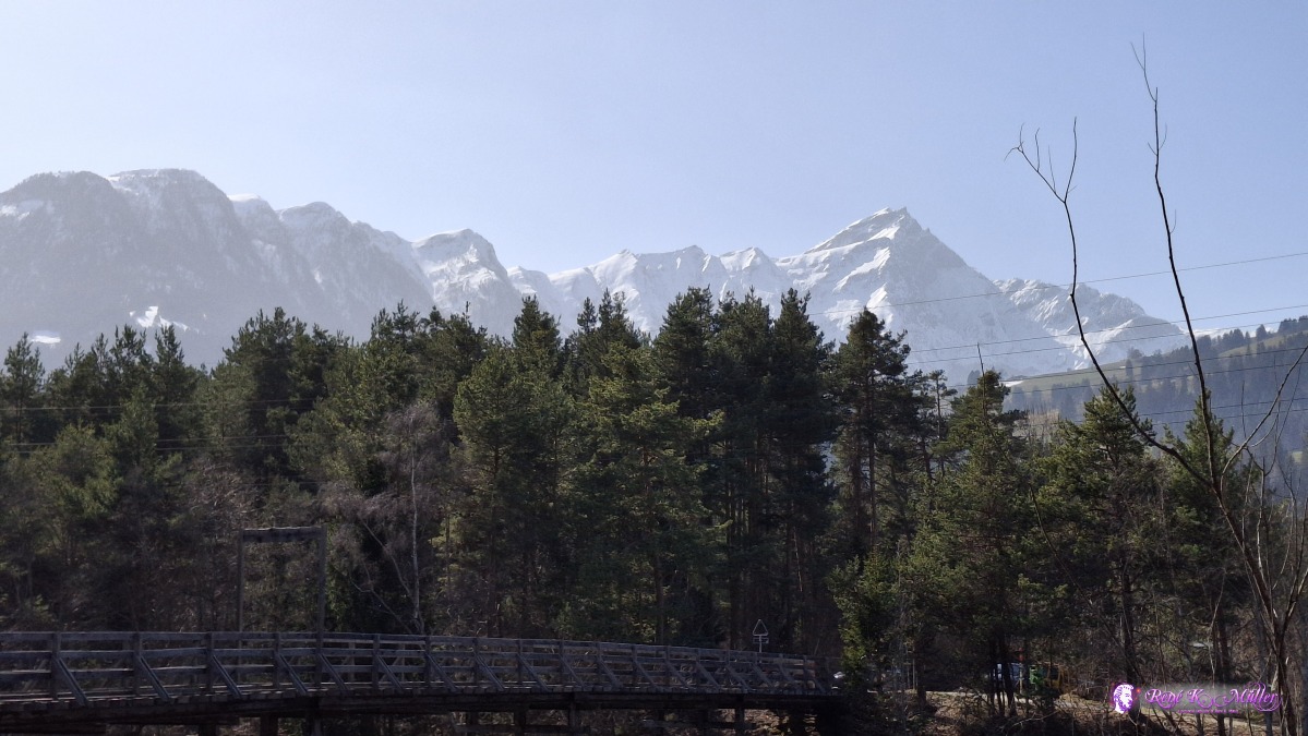 ◈ Marktplatz, Fürstenaubruck (Δ 690m), 2026/03/08 12:39 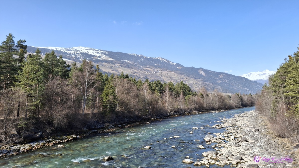 ◈ Marktplatz, Fürstenaubruck (Δ 723m), 2026/03/08 12:40 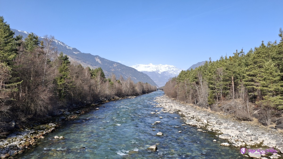 ◈ Marktplatz, Fürstenaubruck (Δ 689m), 2026/03/08 12:41 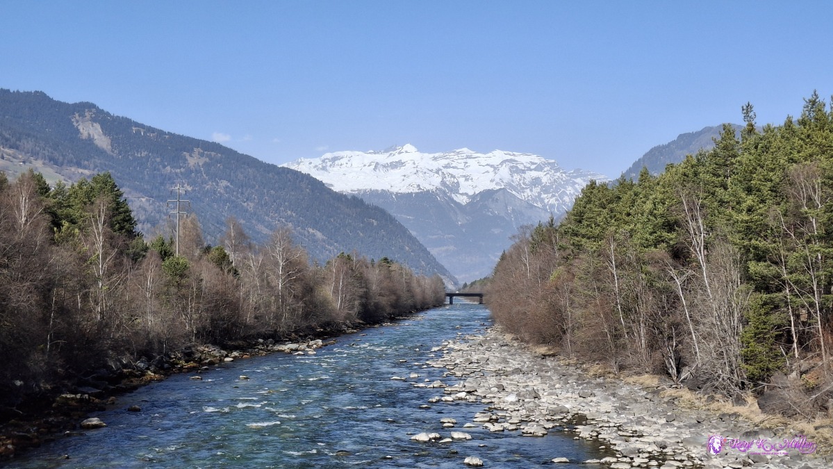 ◈ Marktplatz, Fürstenaubruck (Δ 689m), 2026/03/08 12:41 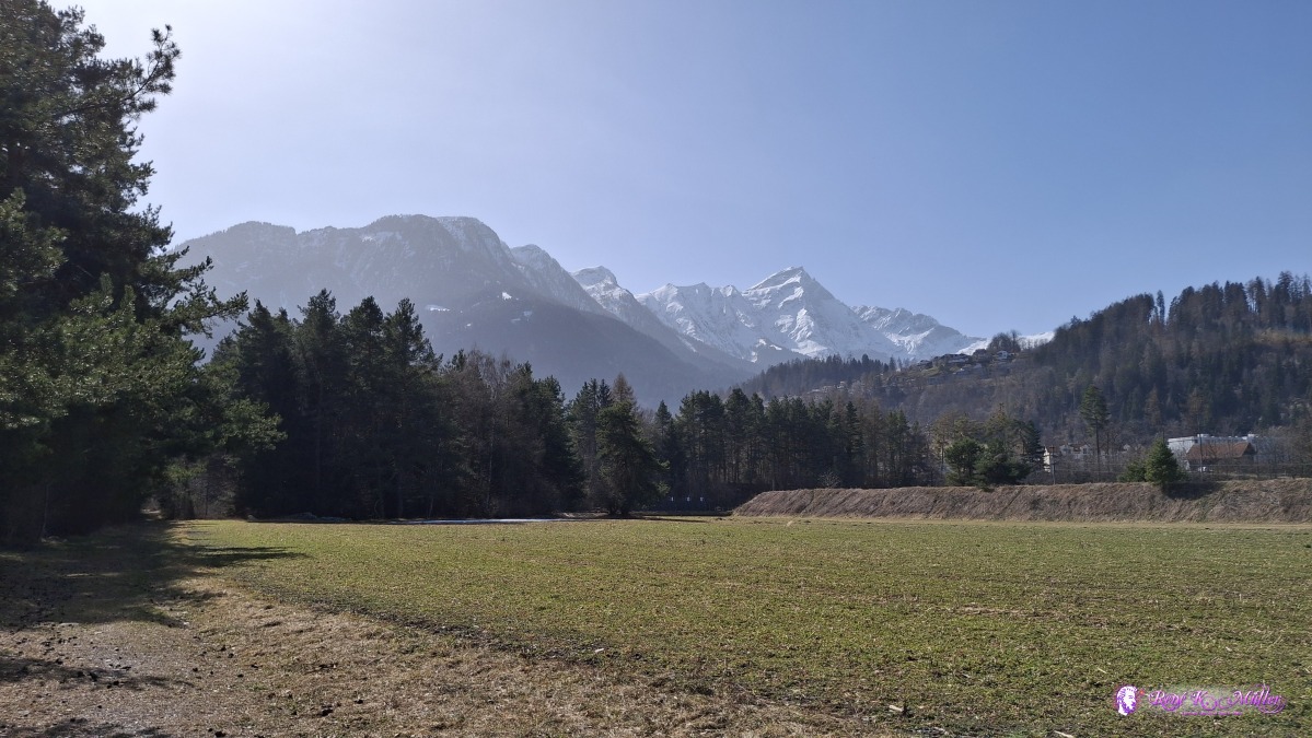 ◈ Thusis (Δ 715m), 2026/03/08 12:59 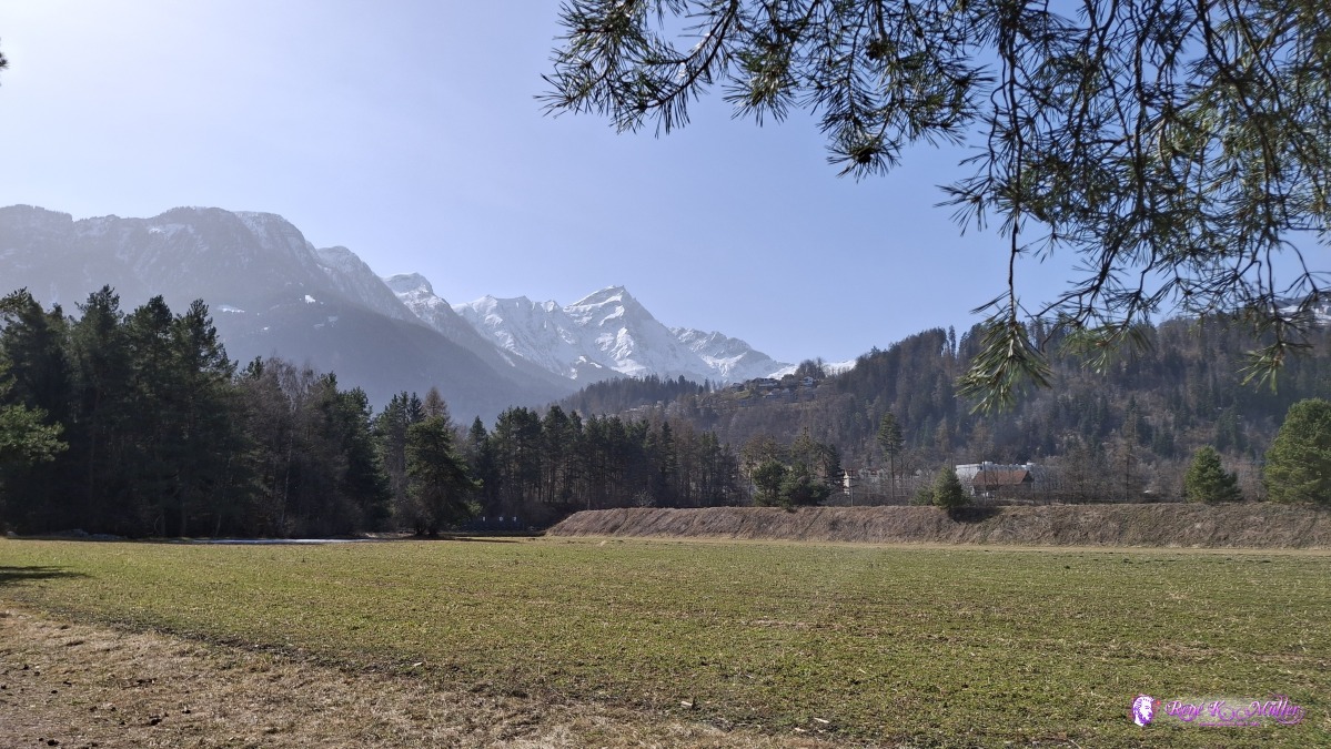 ◈ Thusis (Δ 721m), 2026/03/08 12:59 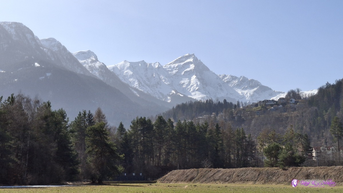 ◈ Thusis (Δ 721m), 2026/03/08 12:59 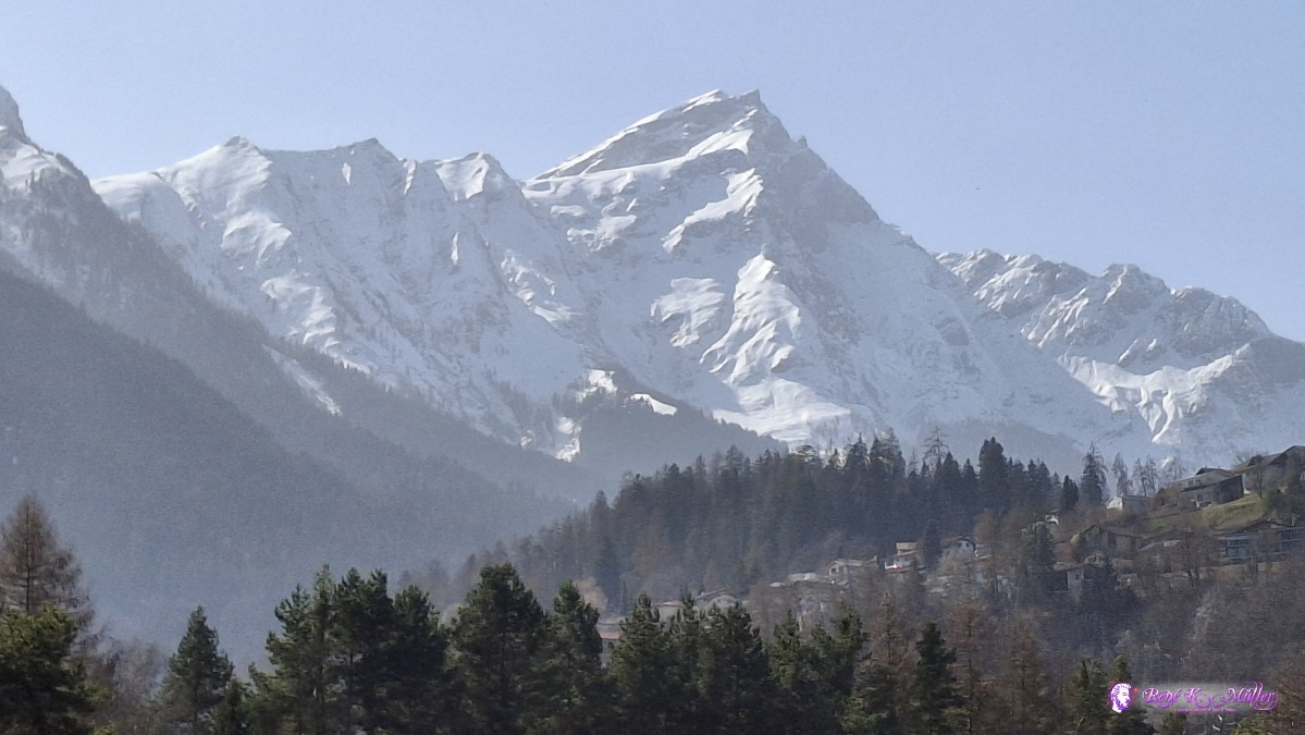 ◈ Thusis (Δ 721m), 2026/03/08 12:59 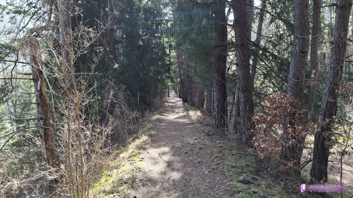 2026/03/08 13:01 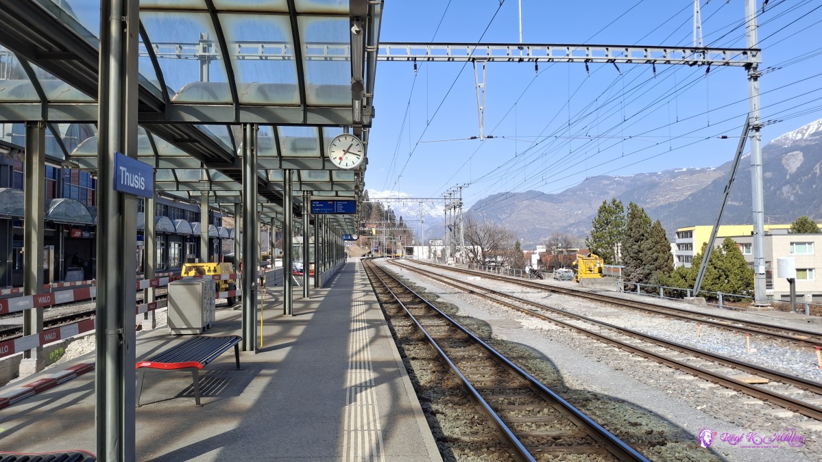 ◈ Die Reisende, Thusis (Δ 750m), 2026/03/08 13:18 That's it. Content:
|