
|
"For to be free is not merely to cast off one's chains, but to live in a way that respects and enhances the freedom of others."
Nelson Mandela |
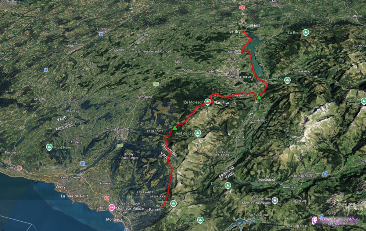
2026: Various Hikes / Tours3 Days Hike April/May 2026: Montreux/Paccot - Gruyeres - Rossens/Le Bry
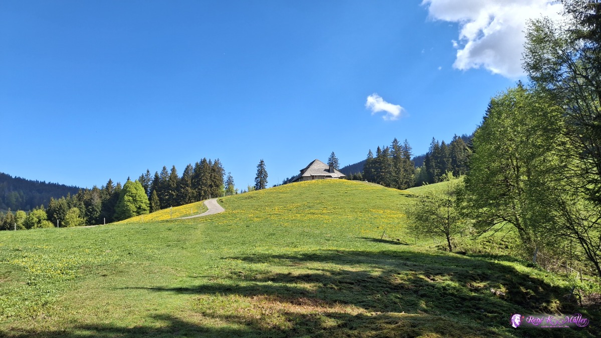
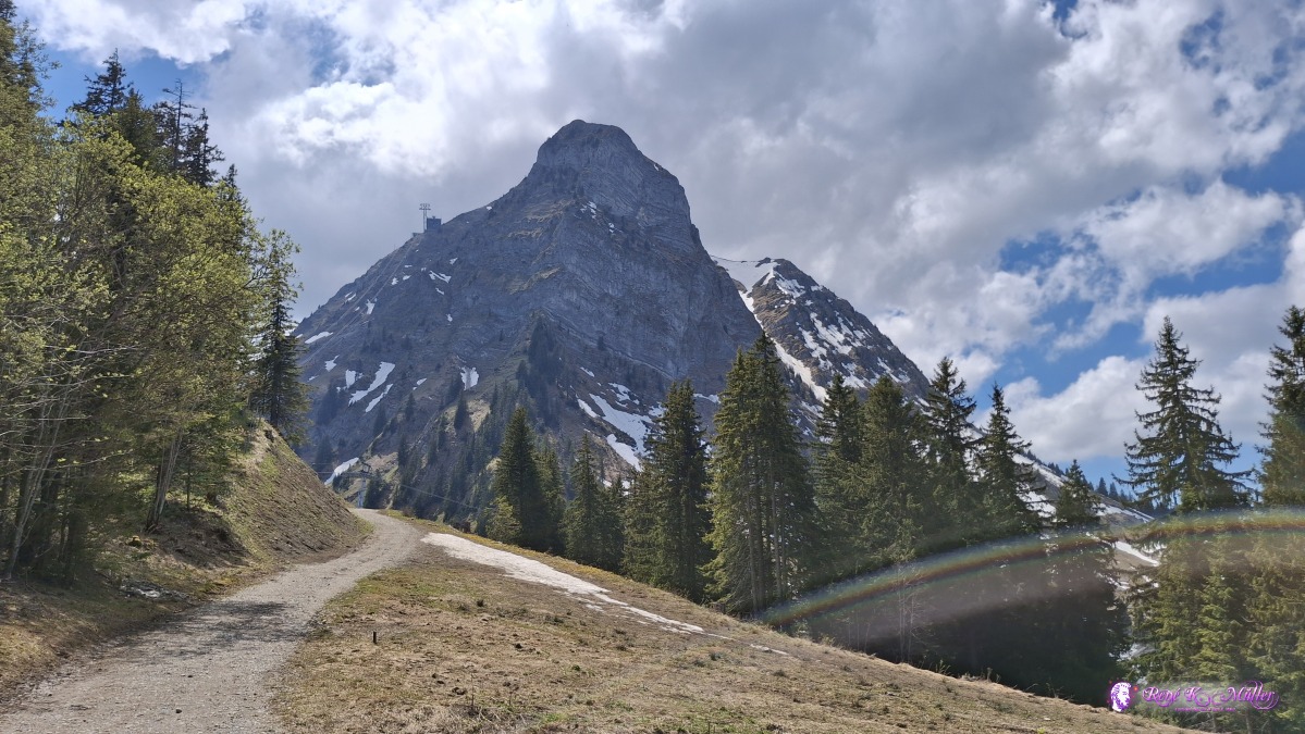
Thursday 2026/04/30: Montreux/Paccot - Les Paccots11:30 arrived in Montreux by train, and took the cable car uphill to Paccot, gaining ~1000Hm and start from there. Stunning overview over the Lac Leman (Genfersee) and keeping the altitude around 1200-1400m, partially in the forest, and then Col de Soladier 1576m, the southern slope as a few patches of snow, but the northern slope a bit more - the snow is moist, at the ground running water; so the moment I sink in, the shoes are soaked. Descending to 1300m, and reaching Les Paccots at 1150m, a small skiing resort, a bit outside I pitch my tent at a public fire place with tables.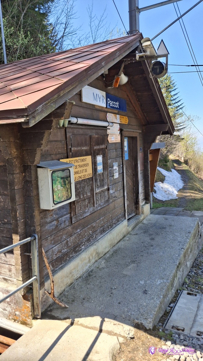 2026/04/30 12:08 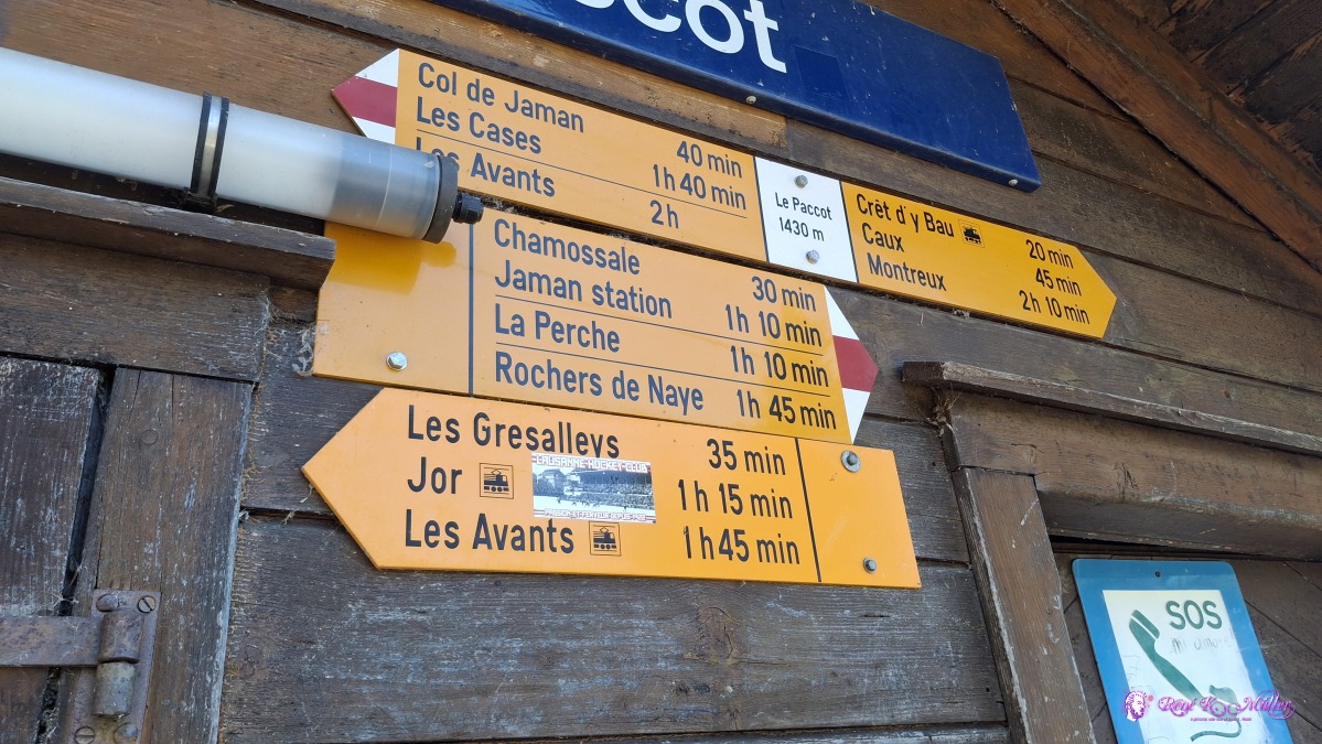 ◈ Les Avants (Δ 1494m), 2026/04/30 12:08 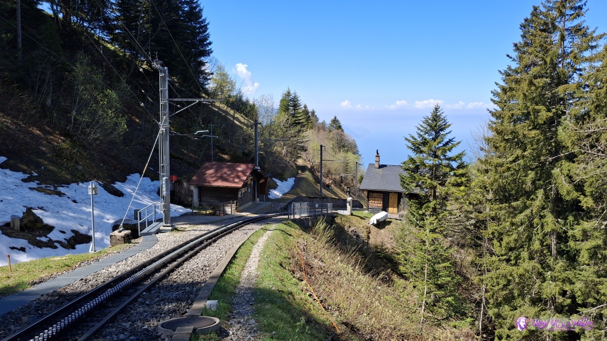 2026/04/30 12:09 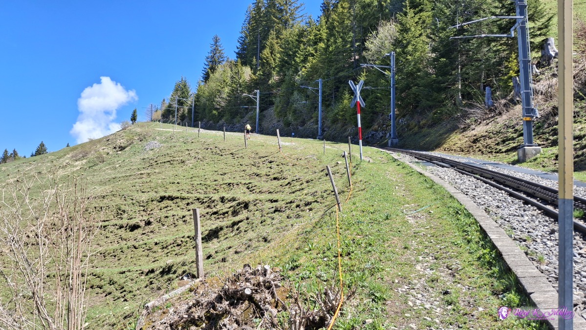 ◈ Les Avants (Δ 1497m), 2026/04/30 12:09 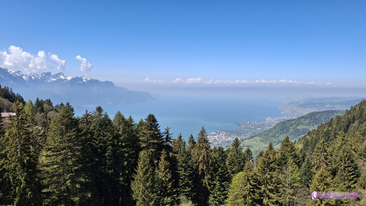 ◈ Les Avants (Δ 1506m), 2026/04/30 12:11 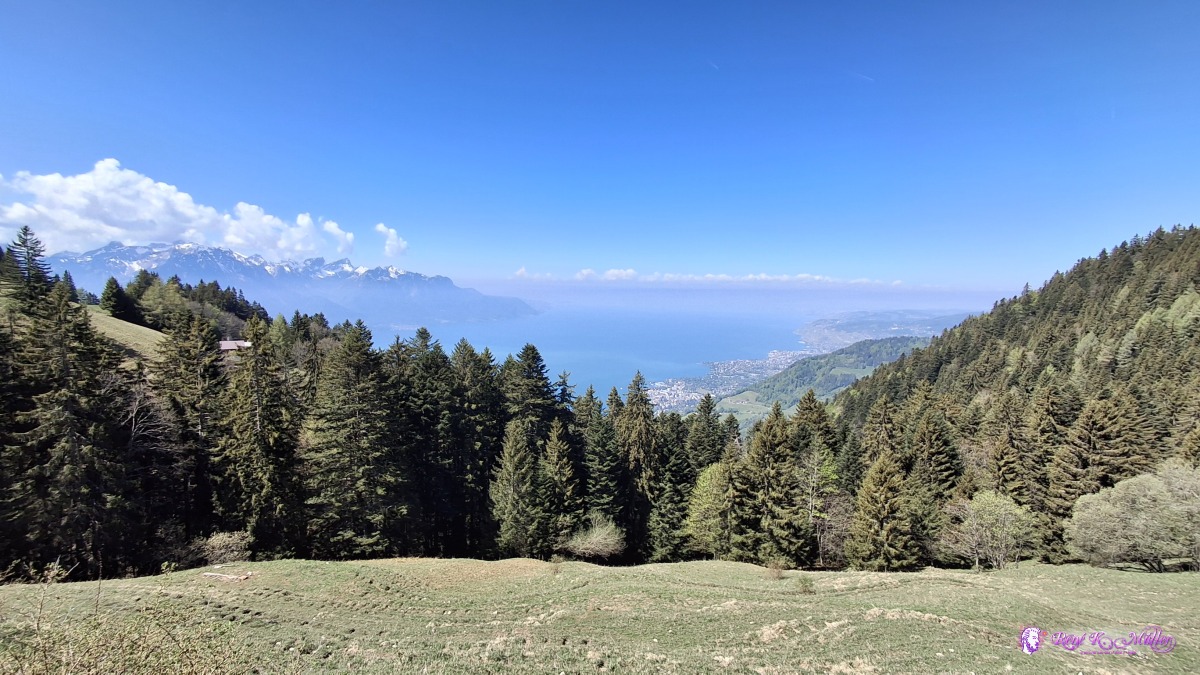 ◈ Les Avants (Δ 1503m), 2026/04/30 12:11 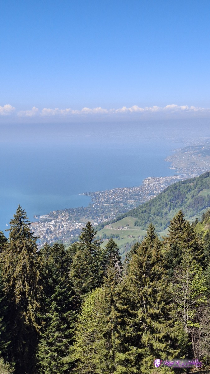 ◈ Les Avants (Δ 1503m), 2026/04/30 12:11 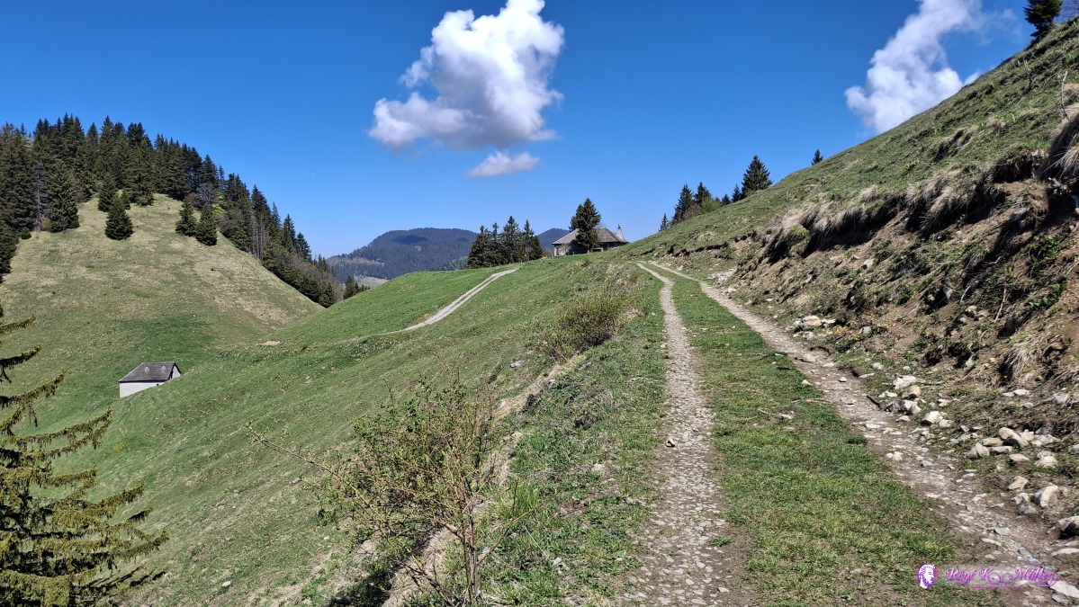 ◈ Les Avants (Δ 1512m), 2026/04/30 12:12 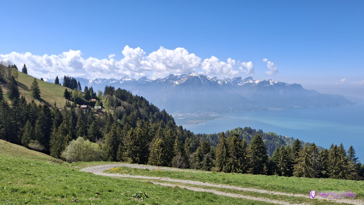 ◈ Les Avants (Δ 1501m), 2026/04/30 12:14 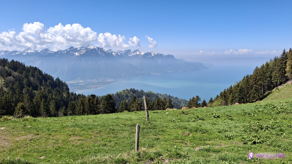 ◈ Les Avants (Δ 1520m), 2026/04/30 12:15  ◈ Les Avants (Δ 1520m), 2026/04/30 12:15 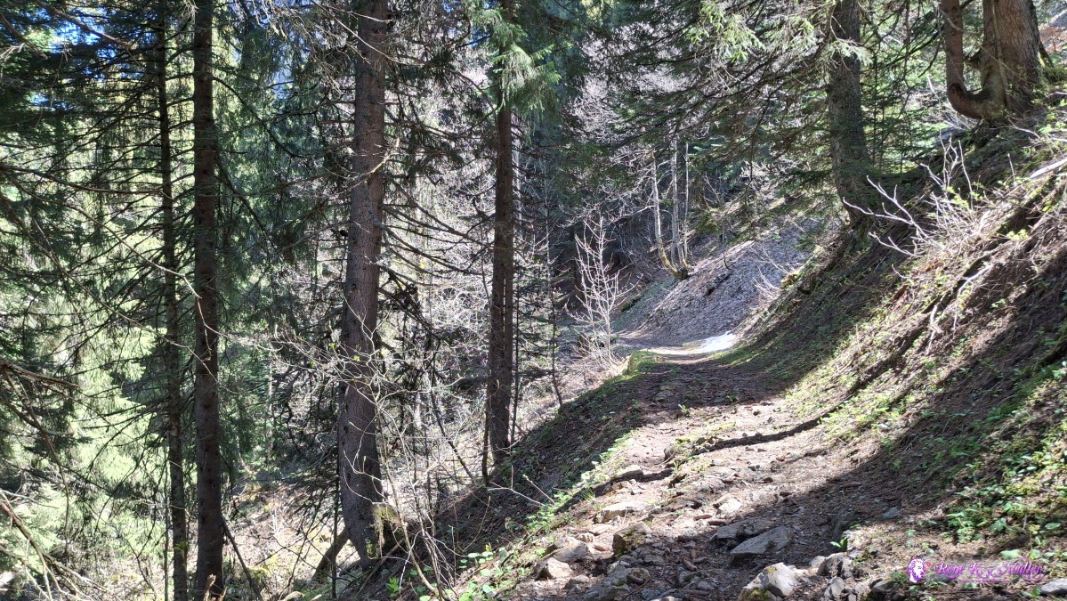 ◈ Les Avants (Δ 1536m), 2026/04/30 12:17 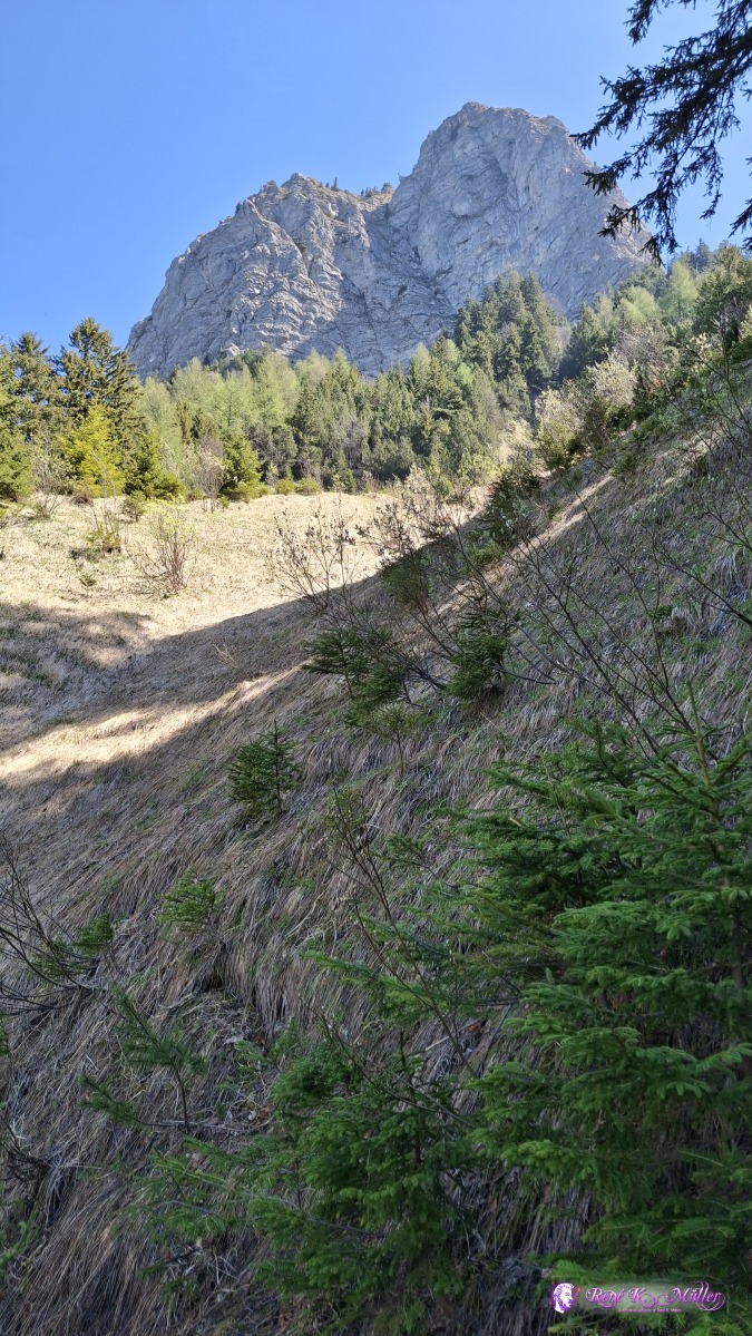 ◈ Les Avants (Δ 1526m), 2026/04/30 12:28  ◈ Les Avants (Δ 1533m), 2026/04/30 12:28 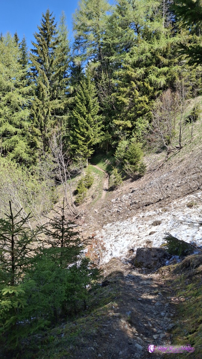 ◈ Les Avants (Δ 1518m), 2026/04/30 12:29 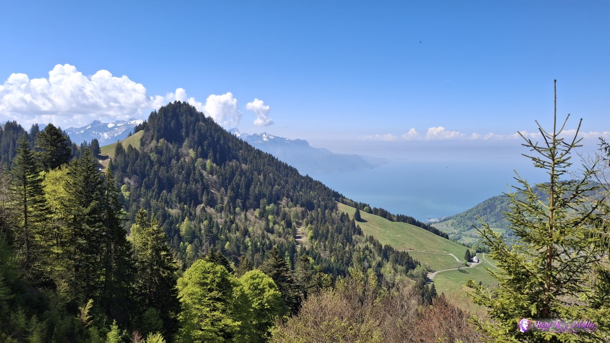 ◈ Les Avants (Δ 1512m), 2026/04/30 12:32 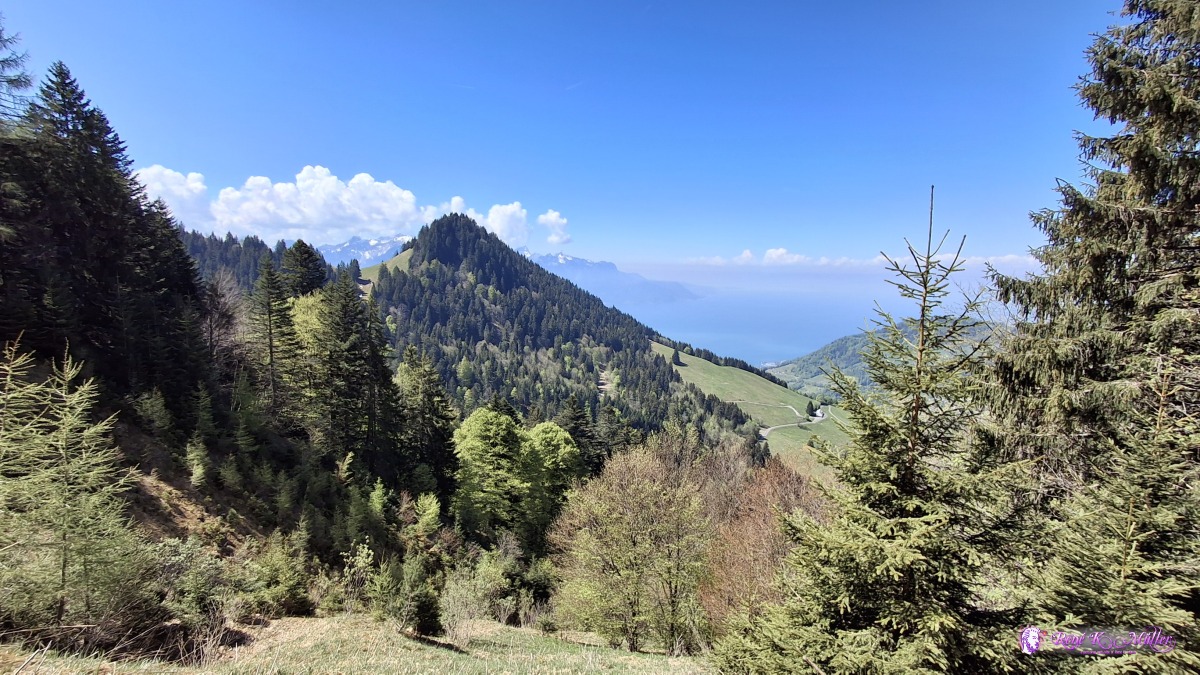 ◈ Les Avants (Δ 1513m), 2026/04/30 12:32 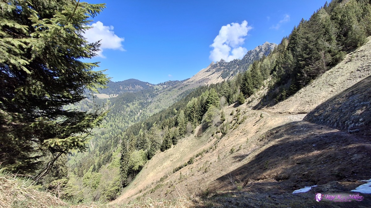 ◈ Les Avants (Δ 1509m), 2026/04/30 12:35 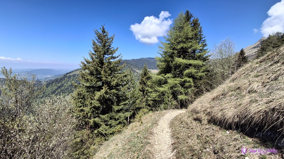 ◈ Les Avants (Δ 1507m), 2026/04/30 12:37 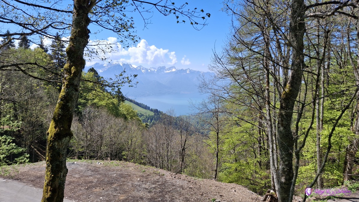 ◈ Les Béviaux, Les Avants (Δ 1374m), 2026/04/30 12:54 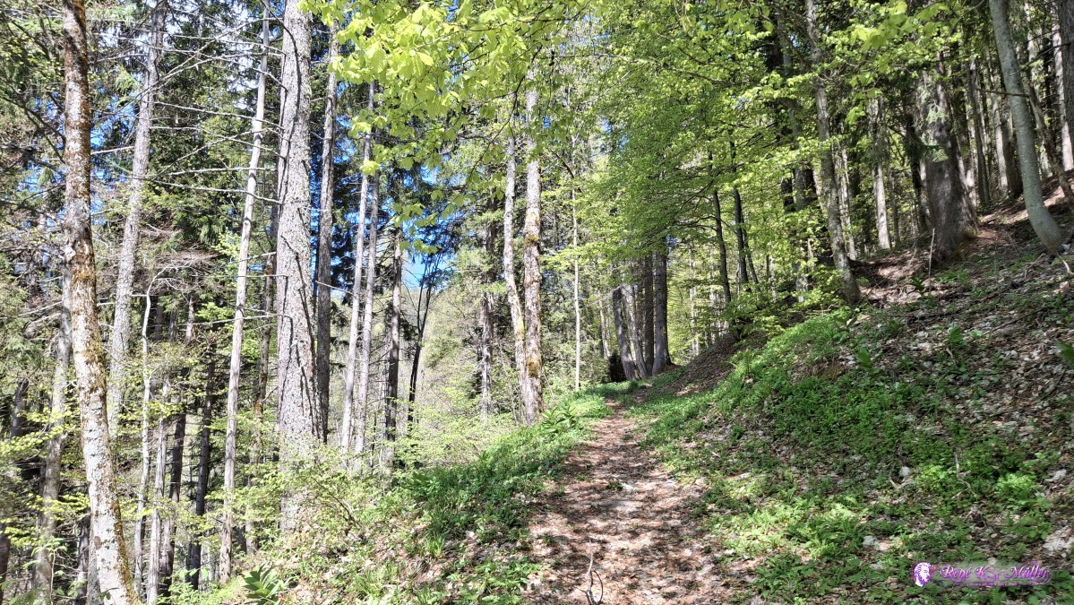 2026/04/30 13:06 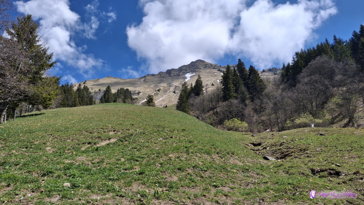 ◈ Les Béviaux, Montreux (Δ 1503m), 2026/04/30 13:23 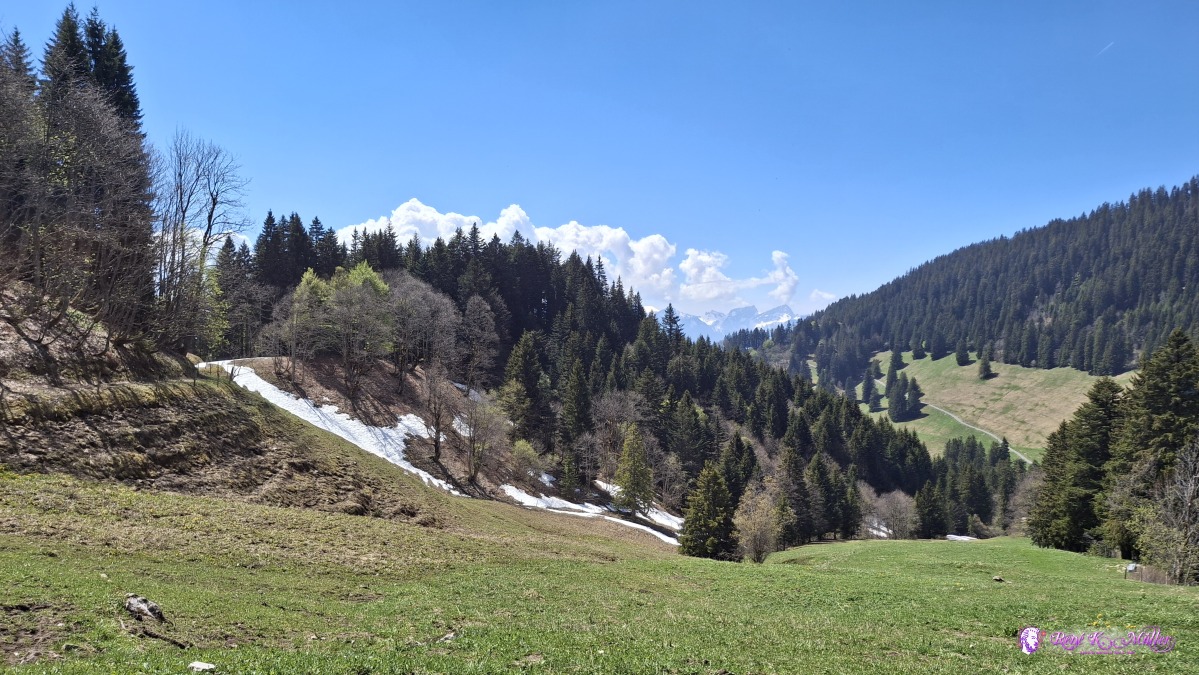 ◈ Les Béviaux, Montreux (Δ 1511m), 2026/04/30 13:23 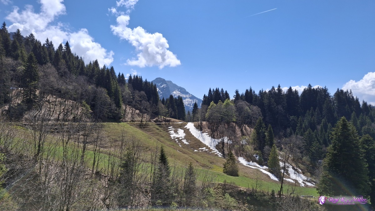 ◈ Les Béviaux, Montreux (Δ 1521m), 2026/04/30 13:26 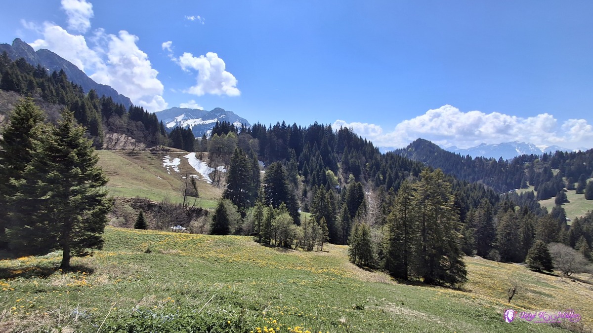 ◈ Les Béviaux, Montreux (Δ 1500m), 2026/04/30 13:27 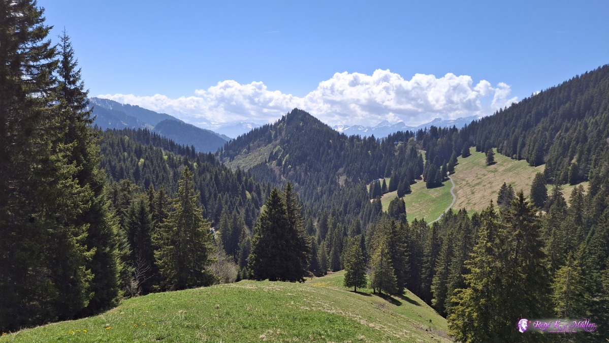 2026/04/30 13:32 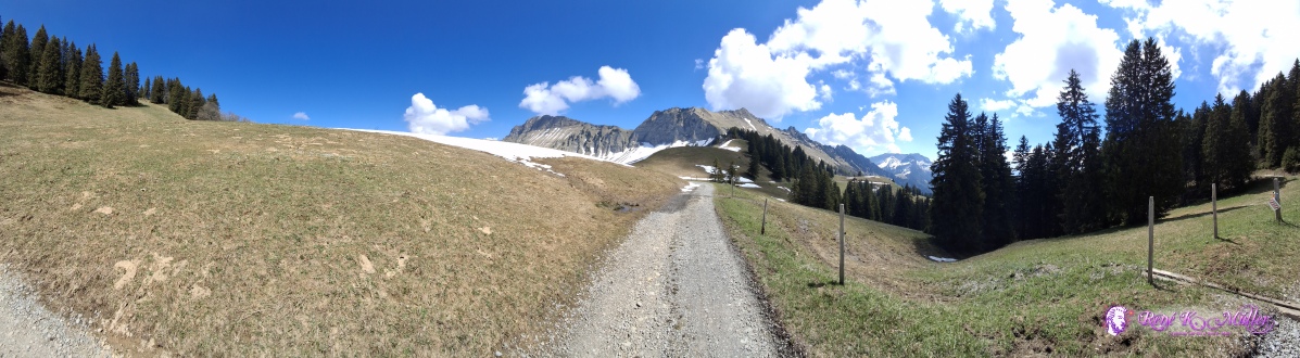 ◈ Montreux (Δ 1635m), 2026/04/30 14:02 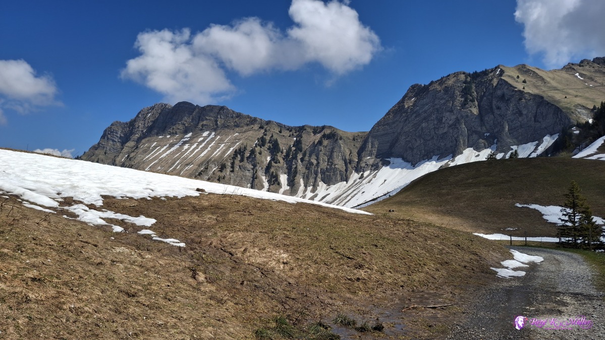 ◈ Montreux (Δ 1635m), 2026/04/30 14:02 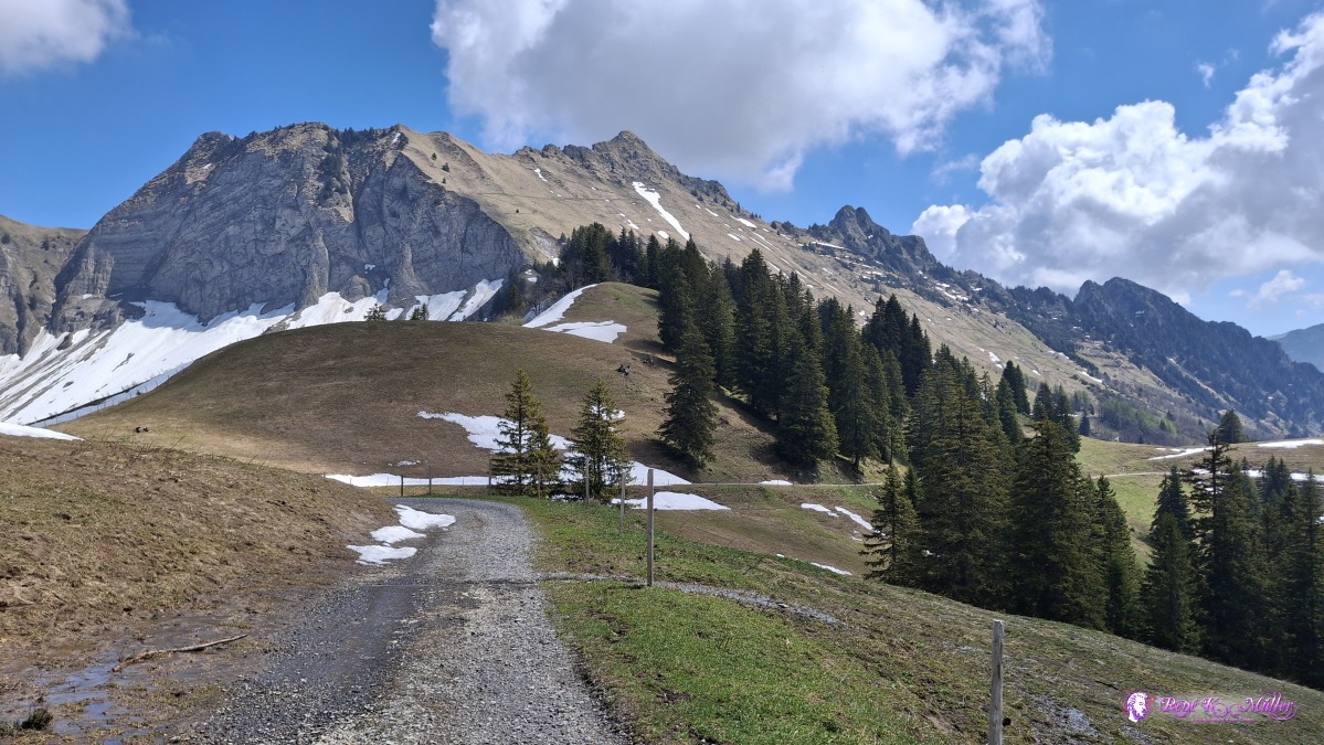 ◈ Montreux (Δ 1635m), 2026/04/30 14:02 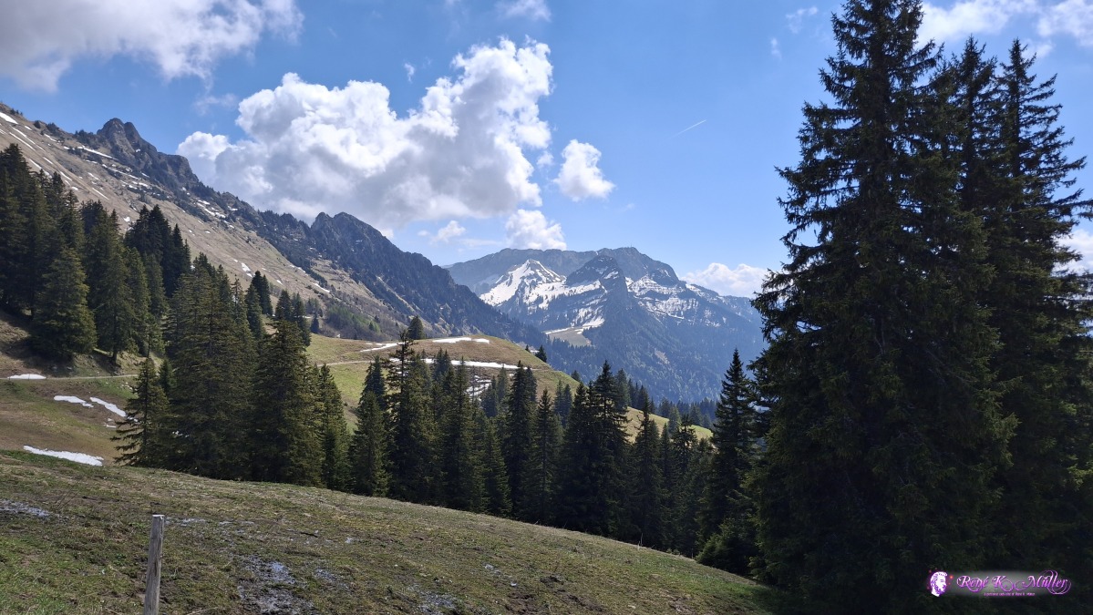 ◈ Montreux (Δ 1635m), 2026/04/30 14:02 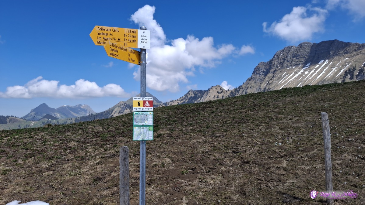 ◈ Col de Soladier, Montreux (Δ 1626m), 2026/04/30 14:04 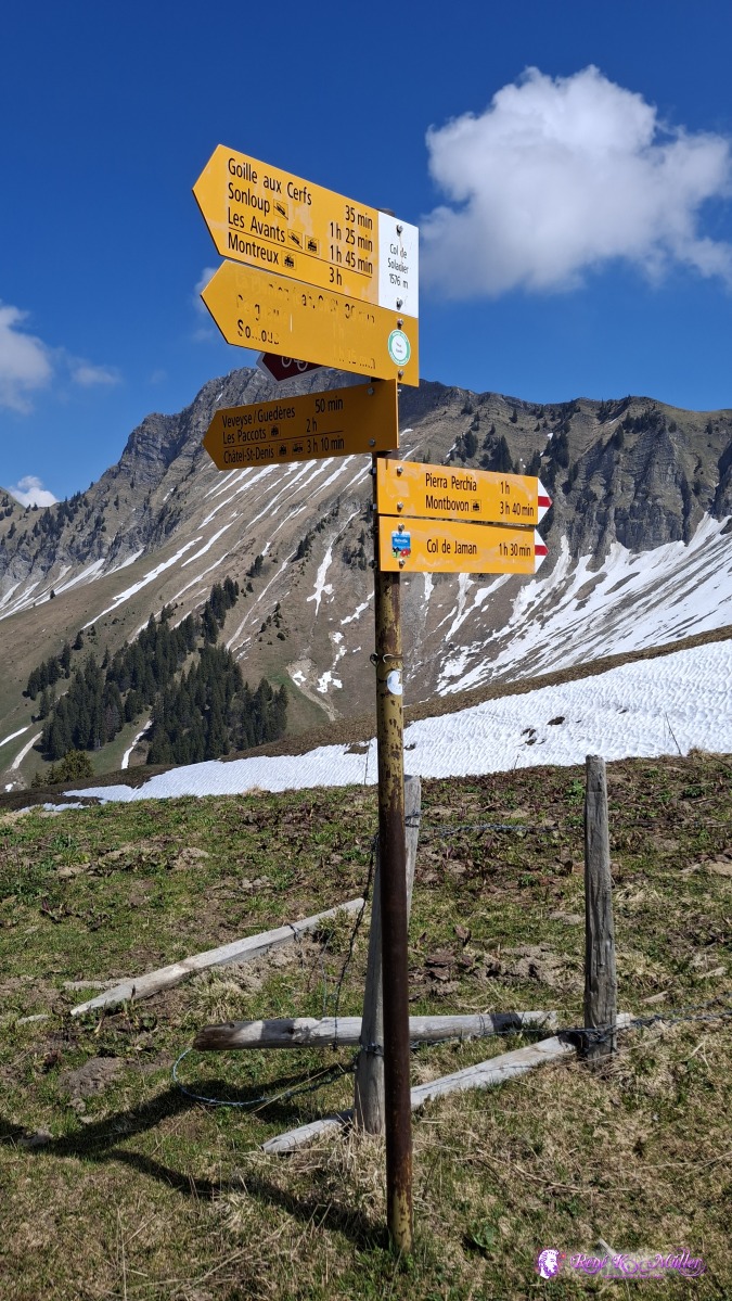 ◈ Col de Soladier, Les Béviaux, Montreux (Δ 1633m), 2026/04/30 14:05 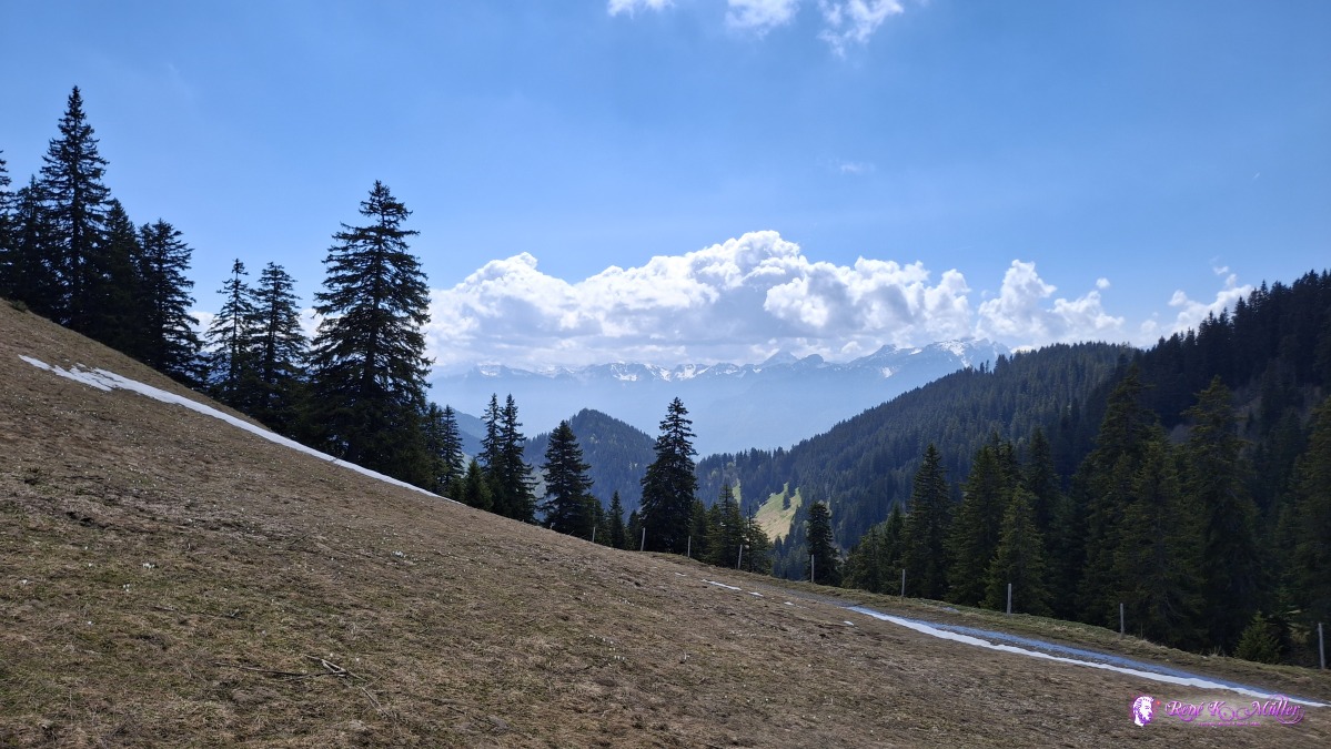 ◈ Col de Soladier, Les Béviaux, Montreux (Δ 1638m), 2026/04/30 14:17 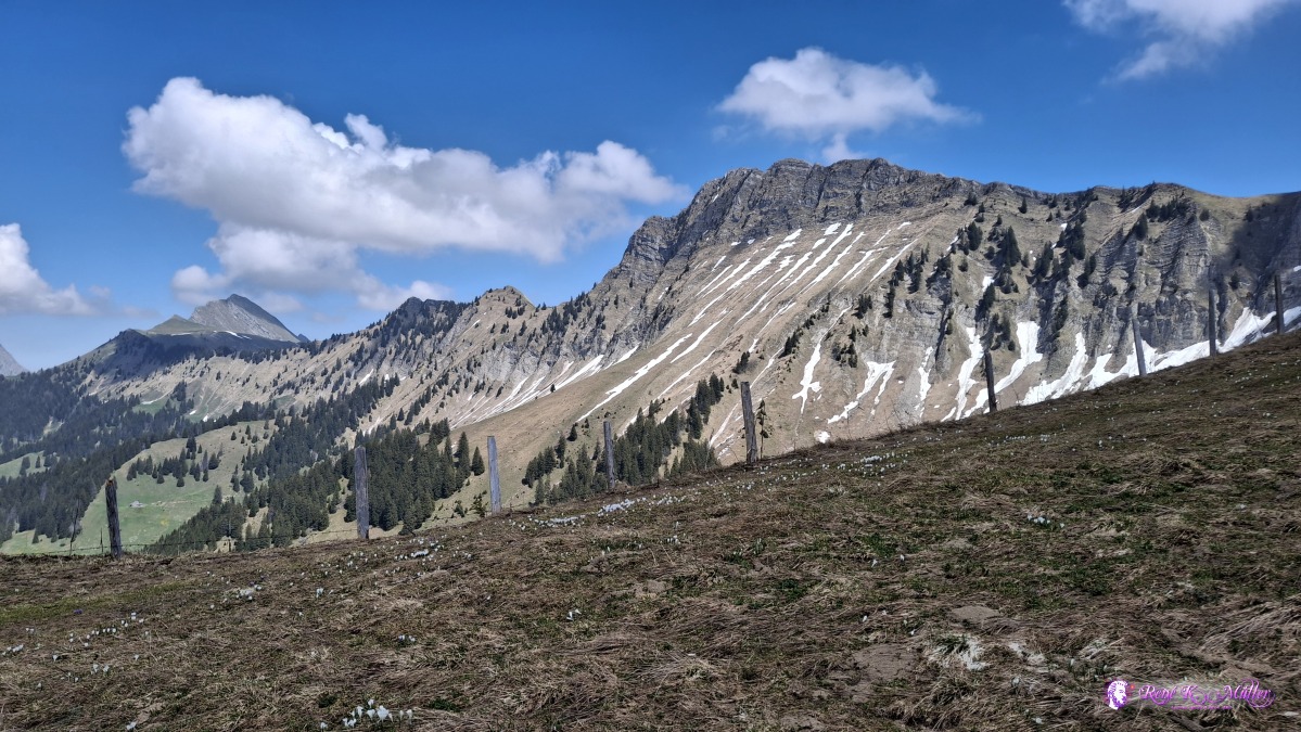 ◈ Les Béviaux, Montreux (Δ 1631m), 2026/04/30 14:17 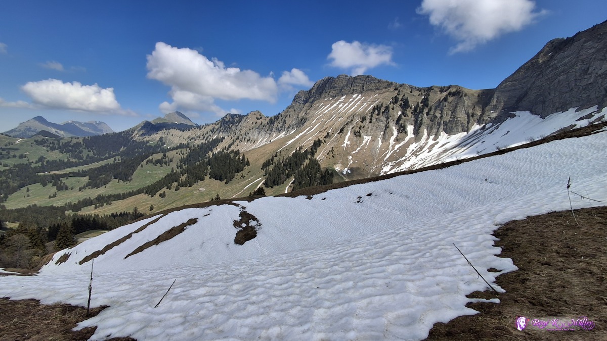 ◈ Les Béviaux, Montreux (Δ 1621m), 2026/04/30 14:18 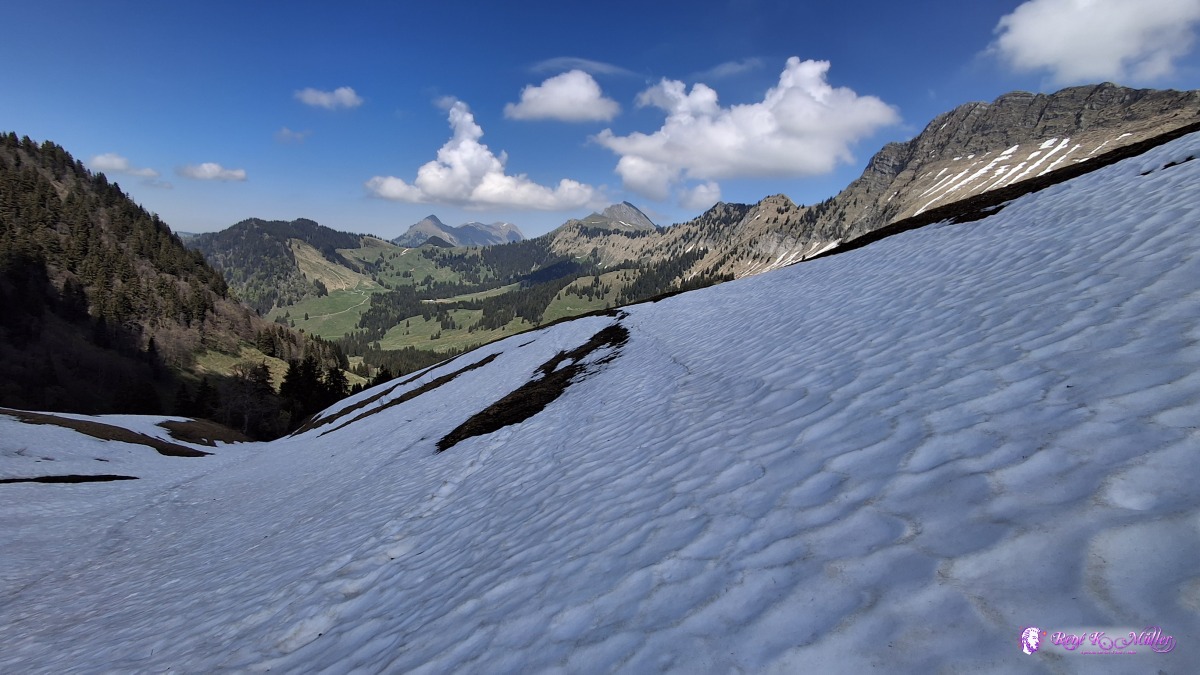 ◈ Les Béviaux, Montreux (Δ 1622m), 2026/04/30 14:24 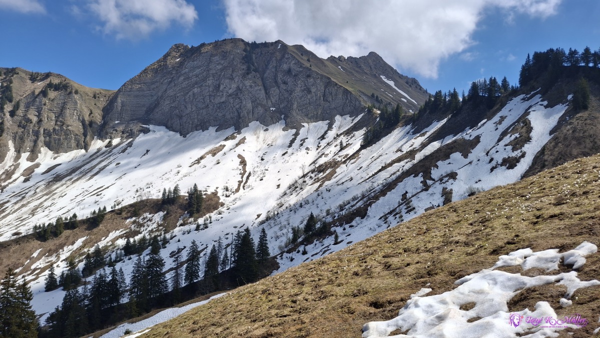 ◈ Les Béviaux, Montreux (Δ 1612m), 2026/04/30 14:27 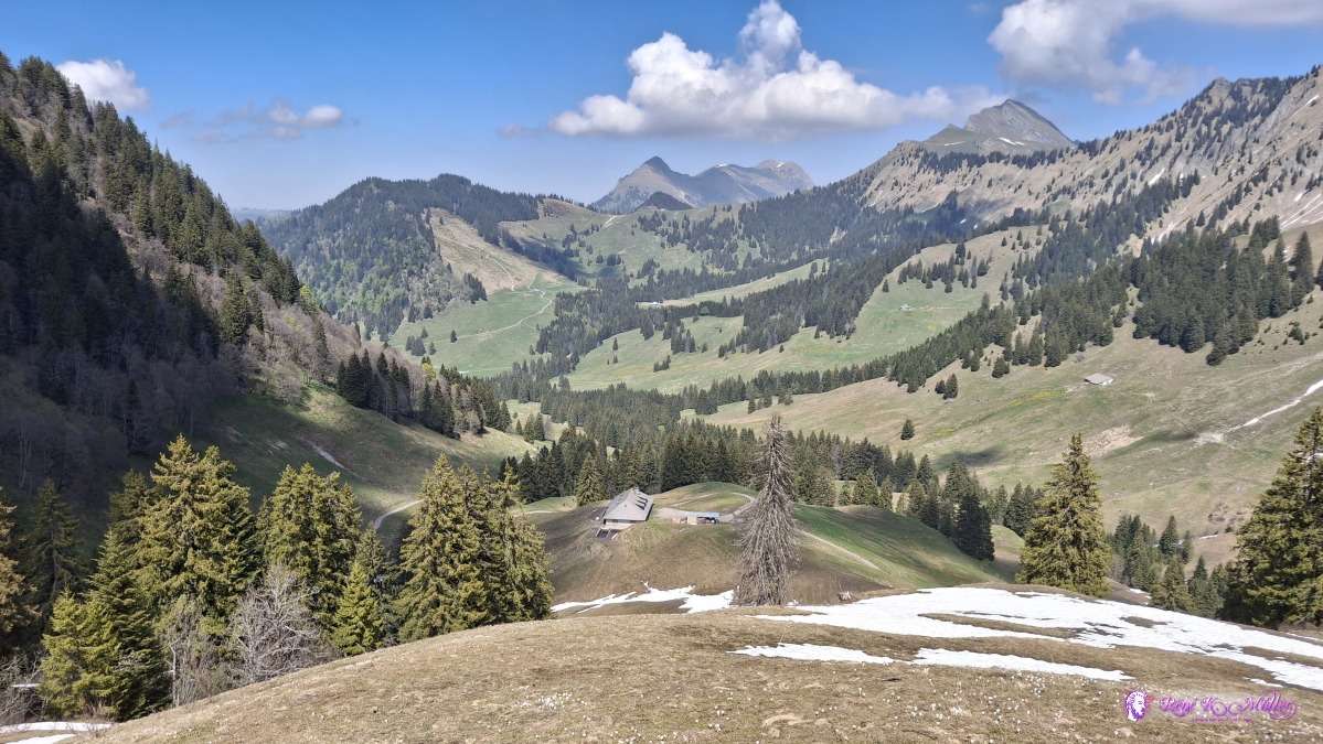 ◈ Les Béviaux, Montreux (Δ 1612m), 2026/04/30 14:27 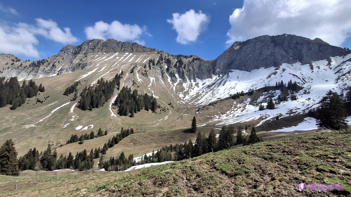 2026/04/30 14:41 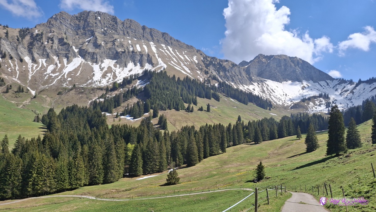 ◈ Blonay - Saint-Légier (Δ 1366m), 2026/04/30 15:08 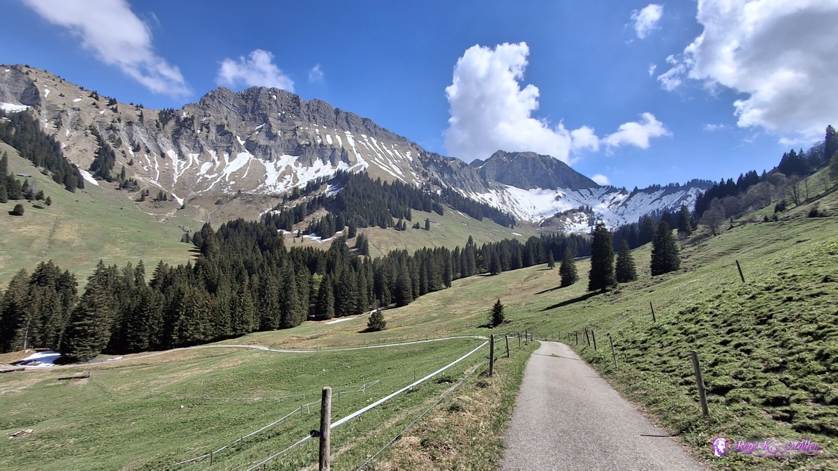 ◈ Blonay - Saint-Légier (Δ 1366m), 2026/04/30 15:08 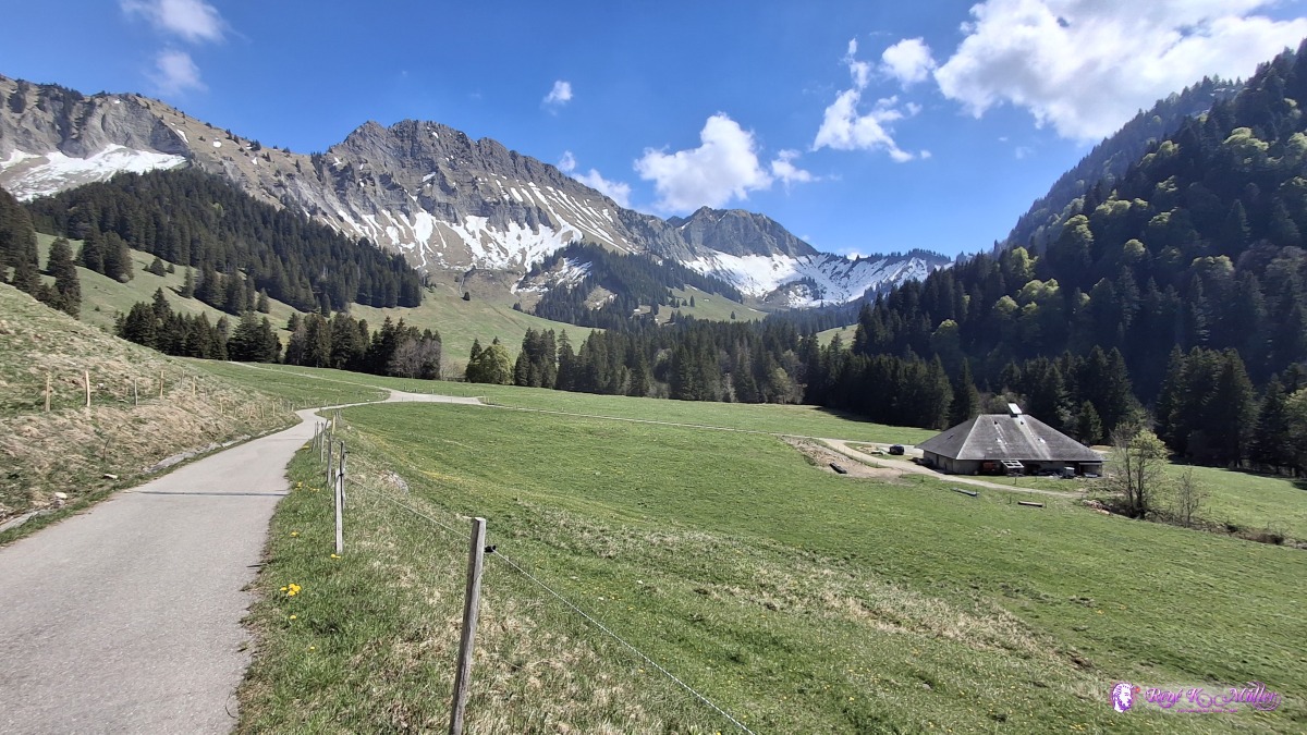 ◈ Guedčres, Châtel-Saint-Denis (Δ 1321m), 2026/04/30 15:29 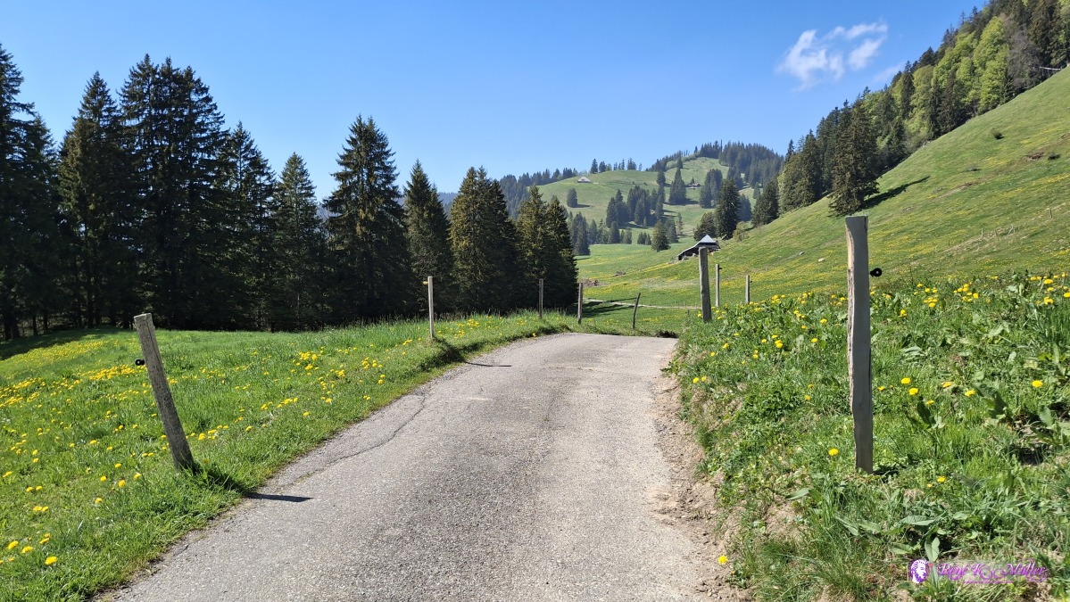 2026/04/30 15:53 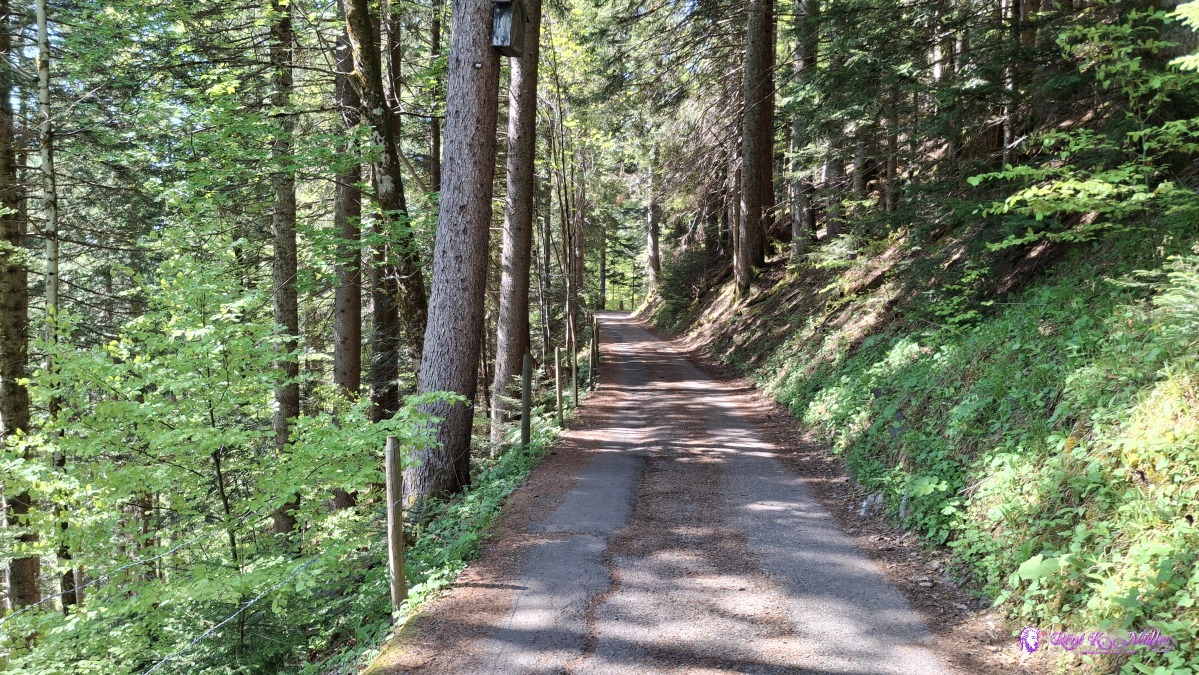 2026/04/30 16:07 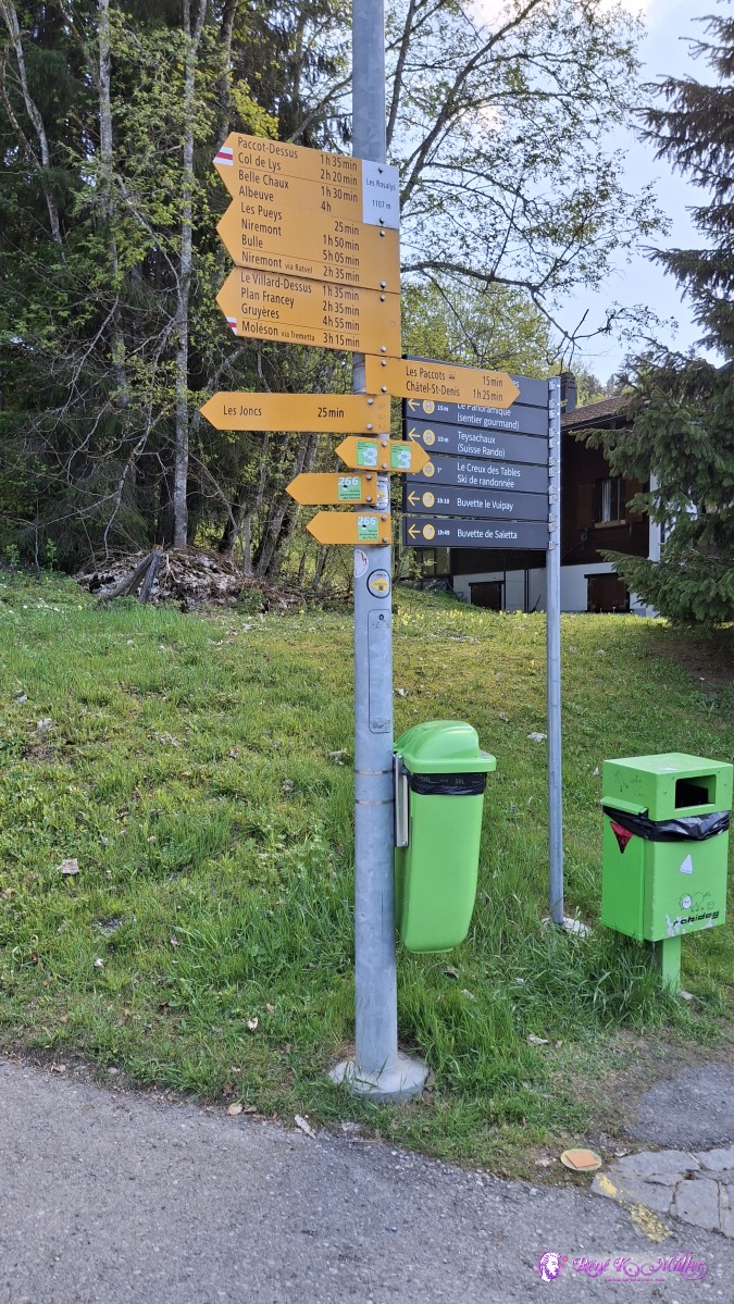 ◈ Les Paccots (Δ 1164m), 2026/04/30 16:51 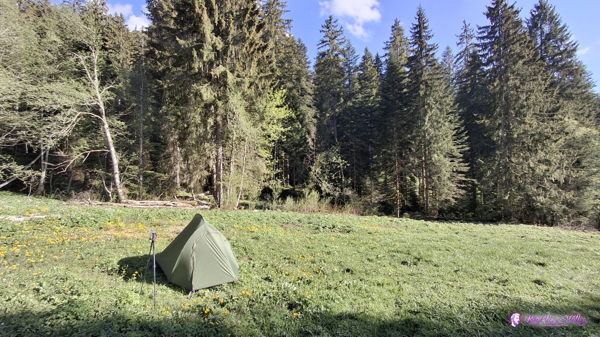 ◈ Les Paccots (Δ 1186m), 2026/04/30 17:39 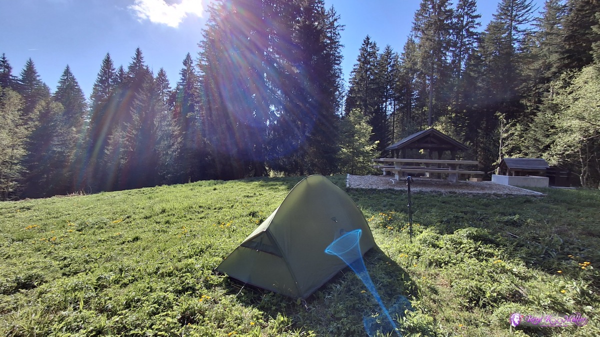 ◈ Les Paccots (Δ 1186m), 2026/04/30 17:39 Friday 2026/05/01: Les Paccots - GruyeresI sleep long, until the sun reaches the tent, quite late ~9:30, packing and leaving ~10:00 - ascending to 1500m again, moderately steep - and then maintain the nearly the same altitude western slope, a few patches of snow on the route, a bit higher more snow still. Reaching the Moleson mountain, at Plan-Francey cable car station, and rest to eat my prepared lunch and enjoying the vast scenery, between alps and flat land - Moleson mountain kind of the last high mountain until Jura ridge more west.
 ◈ Les Paccots (Δ 1210m), 2026/05/01 10:39 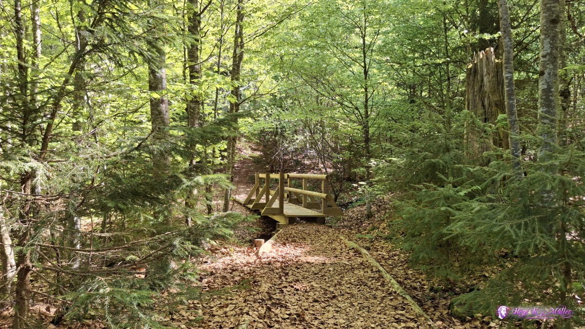 ◈ Les Paccots (Δ 1232m), 2026/05/01 10:45 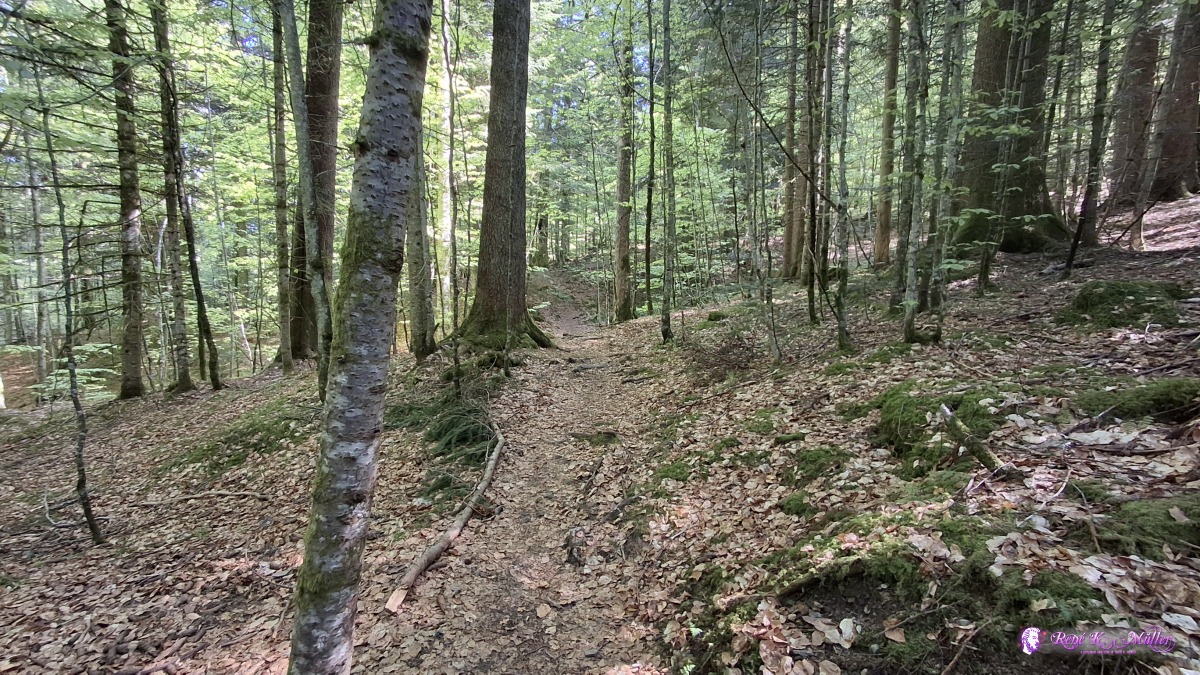 ◈ Châtel-Saint-Denis (Δ 1270m), 2026/05/01 10:49 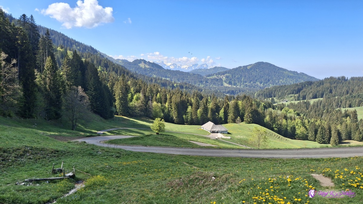 2026/05/01 11:00 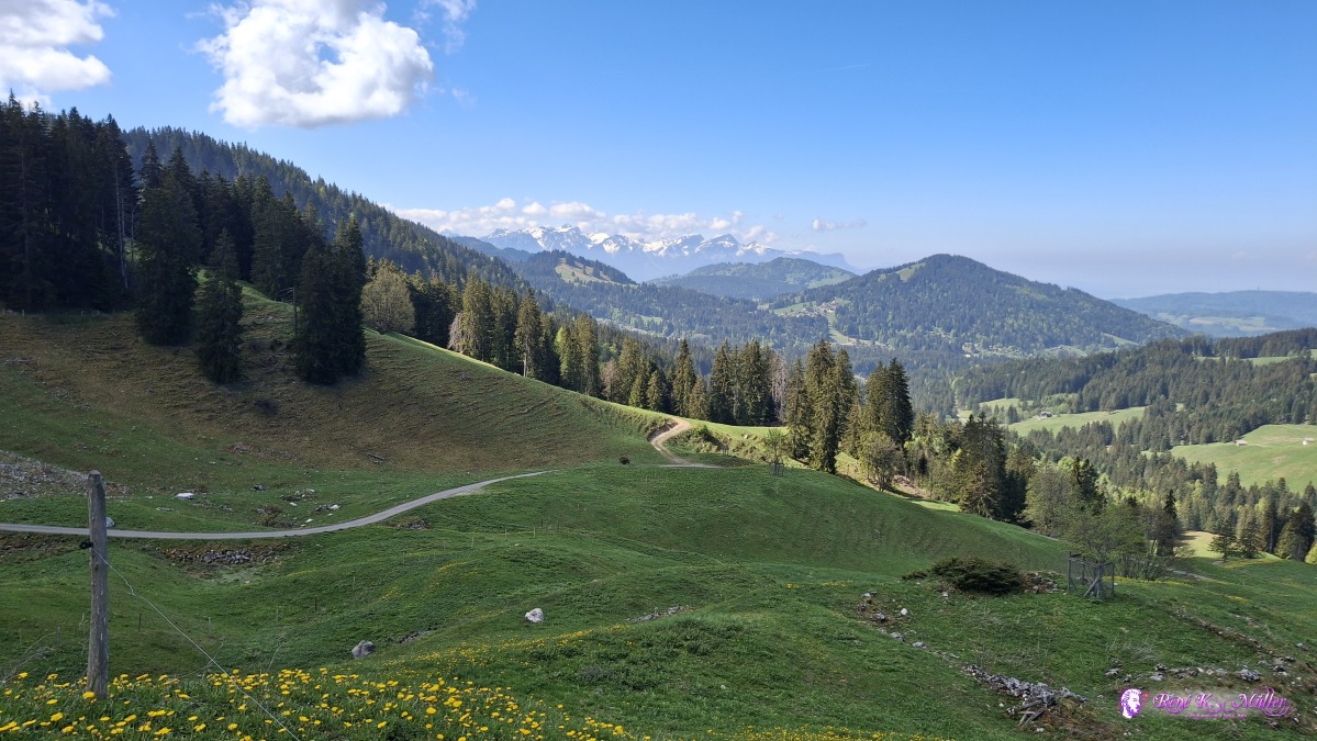 ◈ Châtel-Saint-Denis (Δ 1427m), 2026/05/01 11:17 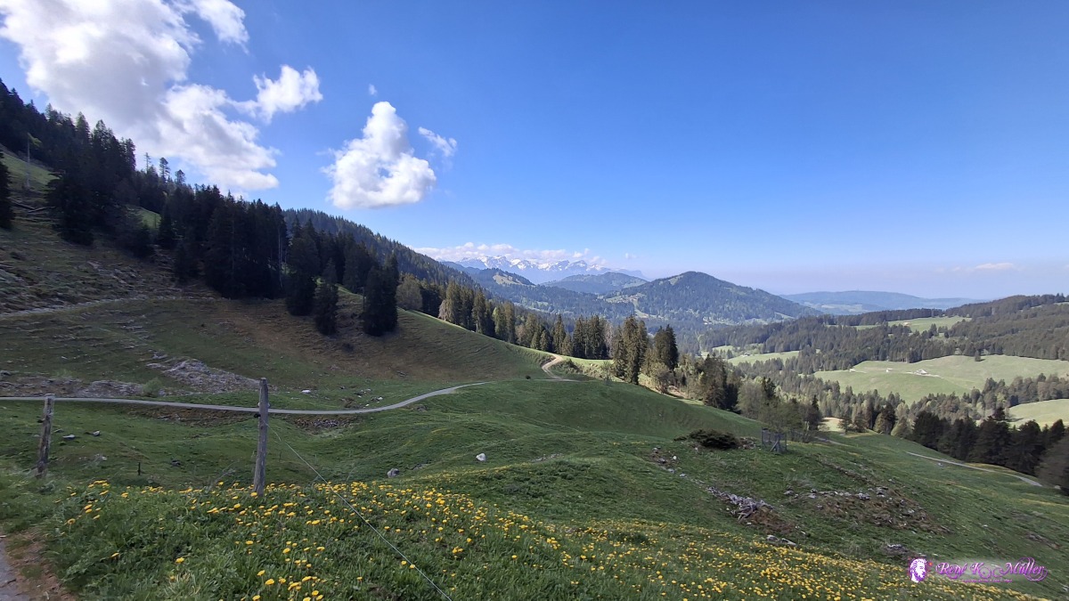 ◈ Châtel-Saint-Denis (Δ 1427m), 2026/05/01 11:17 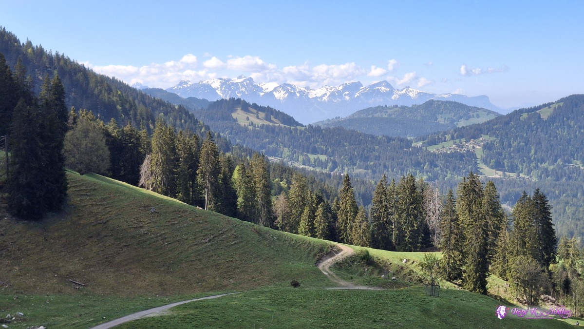 ◈ Châtel-Saint-Denis (Δ 1427m), 2026/05/01 11:17  ◈ Châtel-Saint-Denis (Δ 1510m), 2026/05/01 11:30 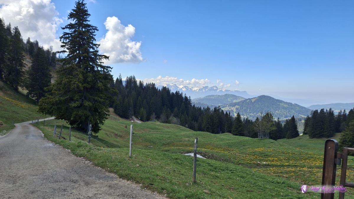 ◈ Châtel-Saint-Denis (Δ 1508m), 2026/05/01 11:31 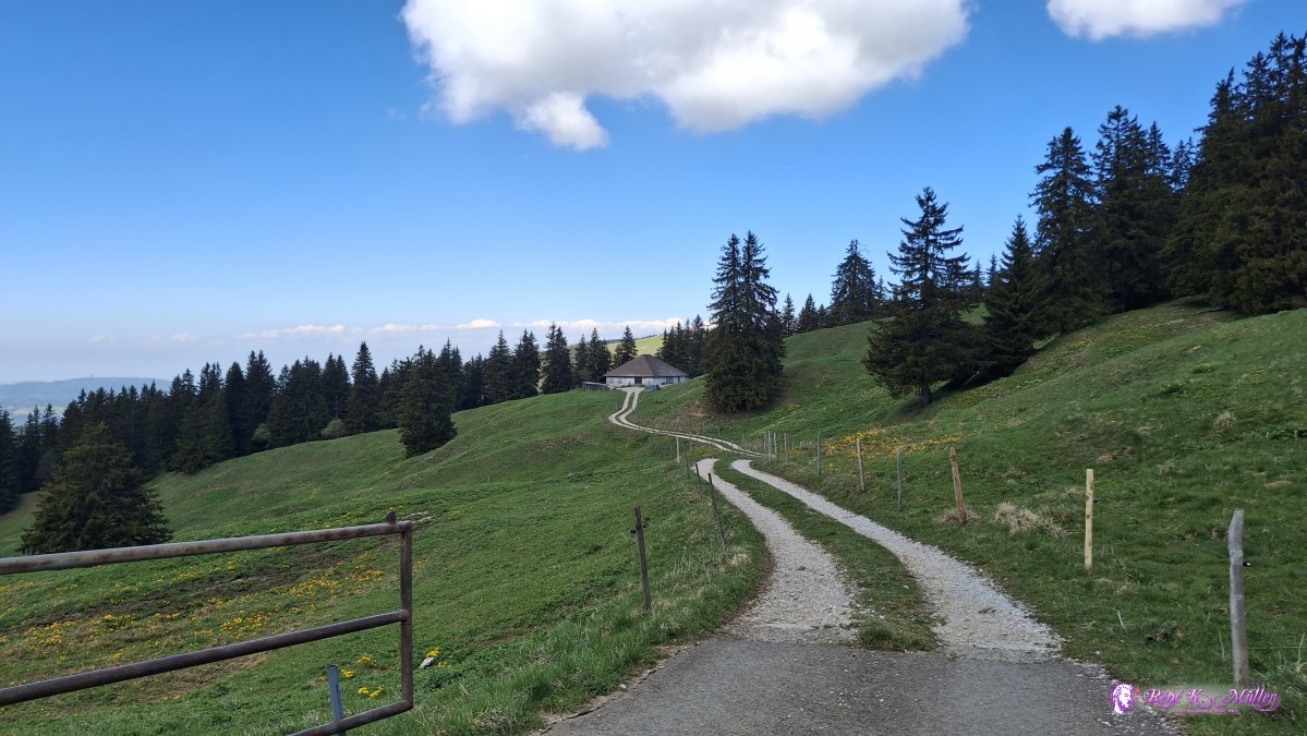 ◈ Châtel-Saint-Denis (Δ 1508m), 2026/05/01 11:31  ◈ Châtel-Saint-Denis (Δ 1508m), 2026/05/01 11:31  ◈ Châtel-Saint-Denis (Δ 1508m), 2026/05/01 11:31 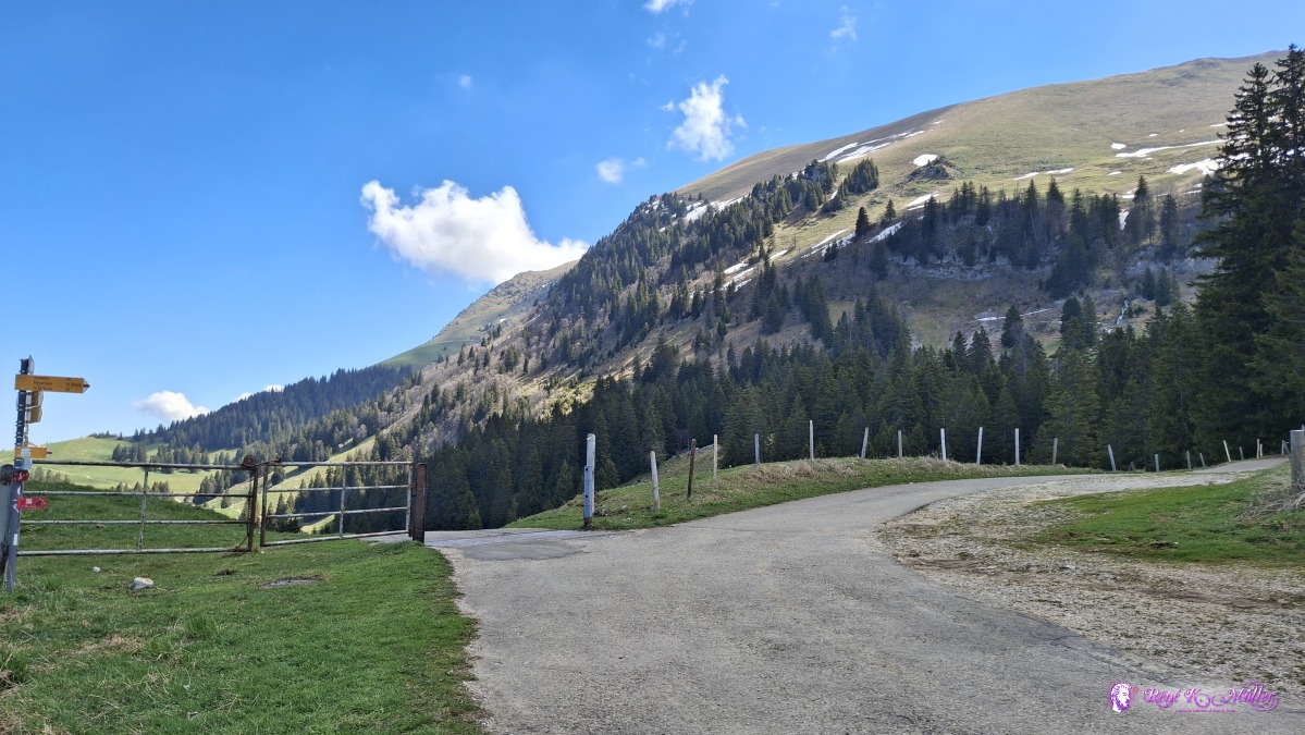 ◈ Châtel-Saint-Denis (Δ 1508m), 2026/05/01 11:31  ◈ Châtel-Saint-Denis (Δ 1518m), 2026/05/01 11:32 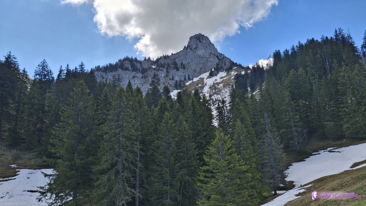 ◈ Semsales (Δ 1484m), 2026/05/01 11:35 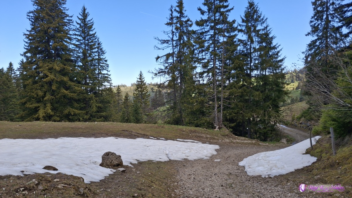 ◈ Semsales (Δ 1474m), 2026/05/01 11:38 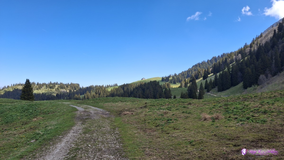 ◈ Semsales (Δ 1462m), 2026/05/01 11:40 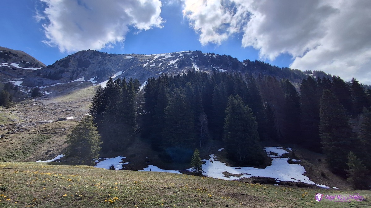 2026/05/01 12:05 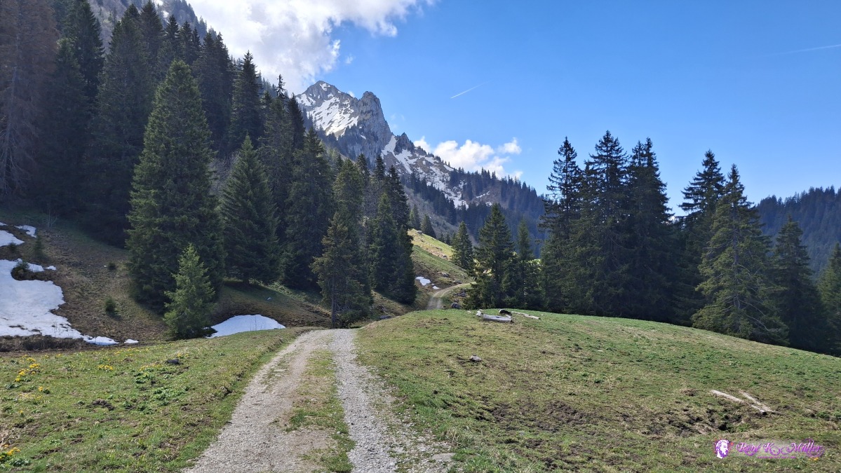 ◈ Le Gros Plané, Gruyčres (Δ 1463m), 2026/05/01 12:05 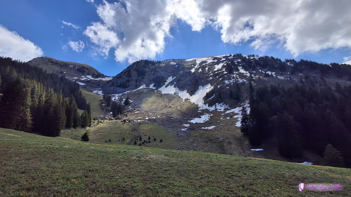 ◈ Le Gros Plané, Gruyčres (Δ 1489m), 2026/05/01 12:07 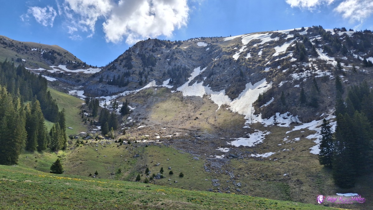 ◈ Le Gros Plané, Gruyčres (Δ 1489m), 2026/05/01 12:07 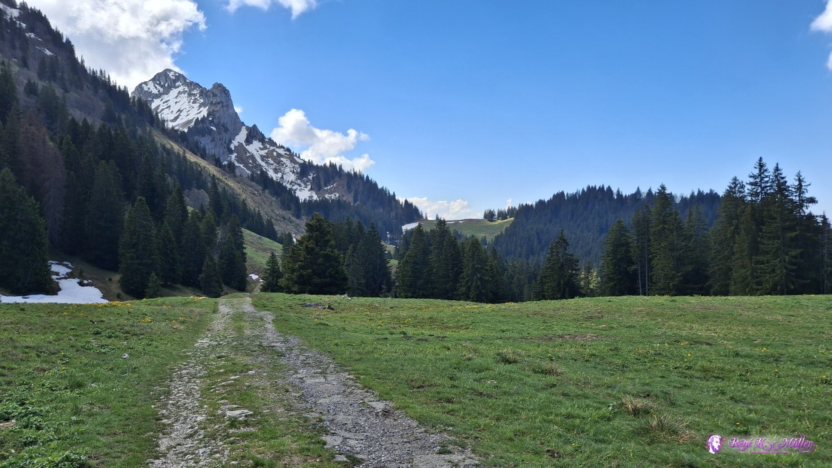 ◈ Le Gros Plané, Gruyčres (Δ 1489m), 2026/05/01 12:07 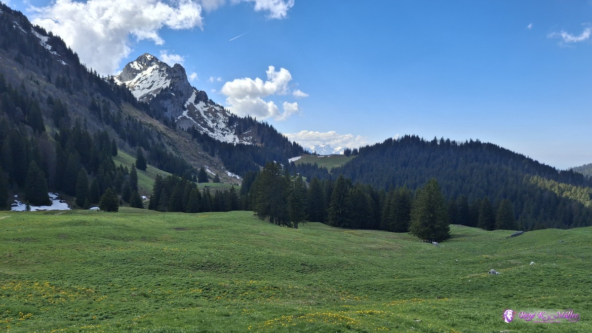 ◈ Le Gros Plané, Gruyčres (Δ 1507m), 2026/05/01 12:11 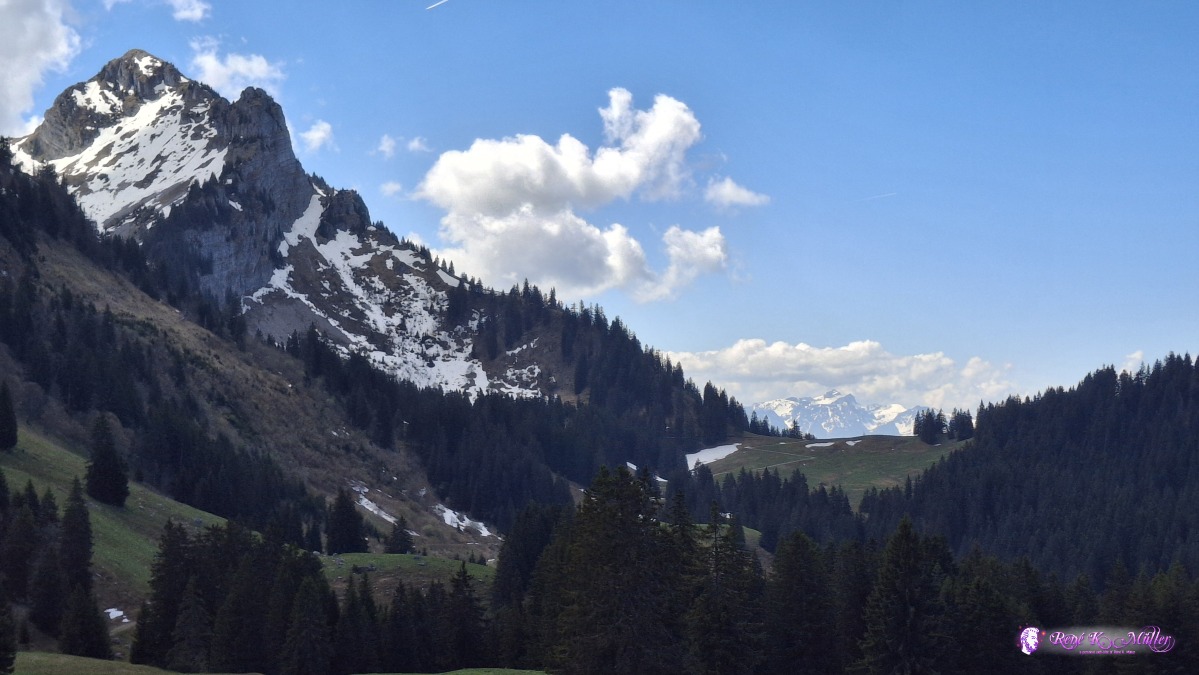 ◈ Le Gros Plané, Gruyčres (Δ 1507m), 2026/05/01 12:11 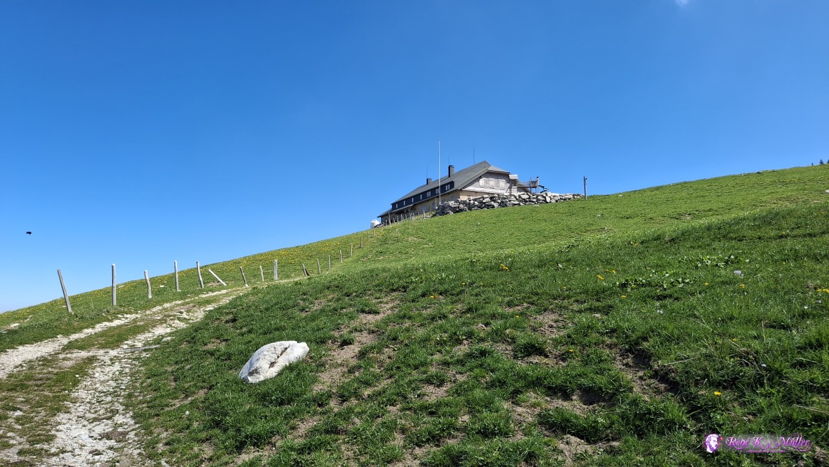 ◈ Le Gros Plané, Gruyčres (Δ 1510m), 2026/05/01 12:12 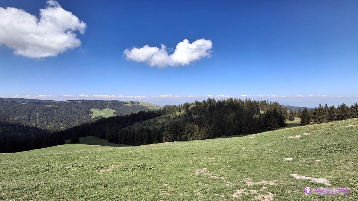 ◈ Le Gros Plané, Gruyčres (Δ 1508m), 2026/05/01 12:13 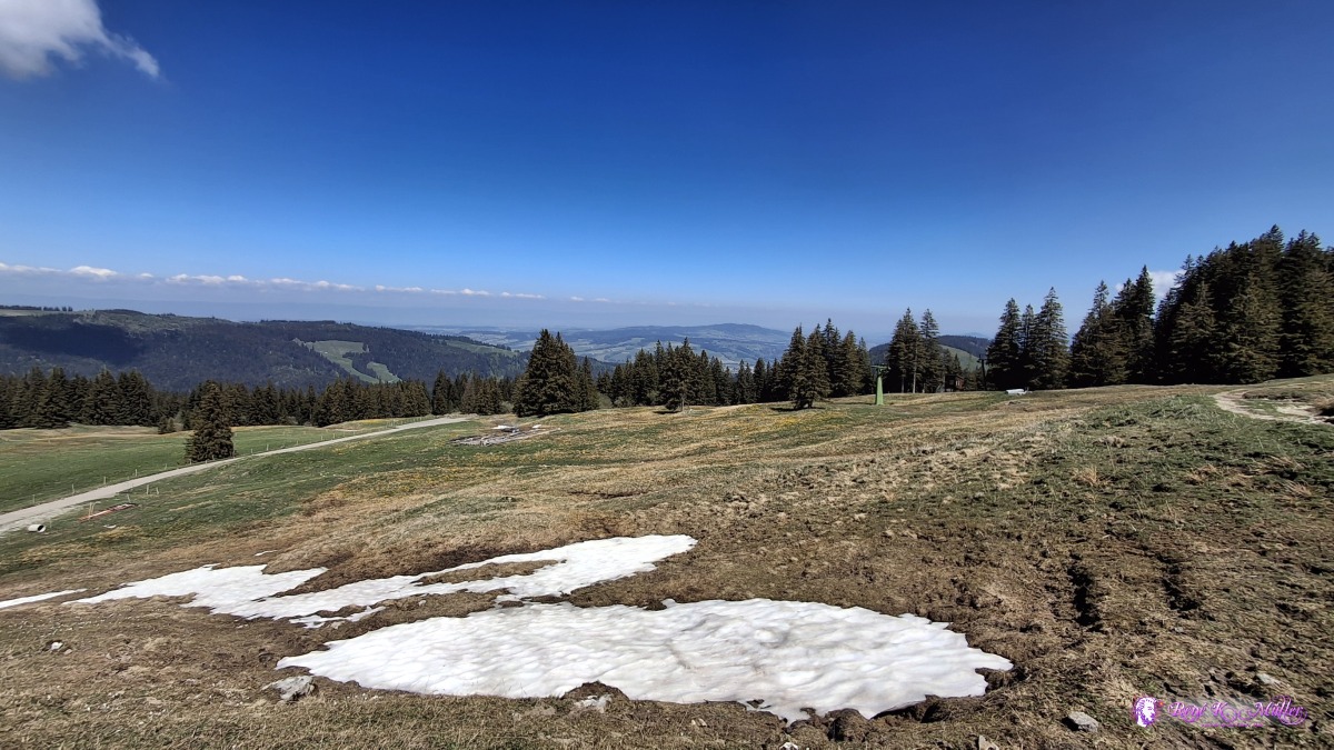 ◈ Le Gros Plané, Gruyčres (Δ 1539m), 2026/05/01 12:18 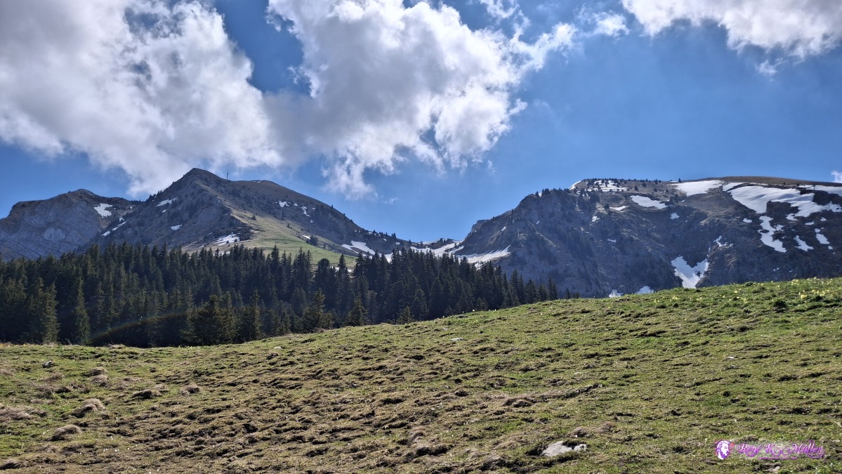 ◈ Le Gros Plané, Gruyčres (Δ 1539m), 2026/05/01 12:18 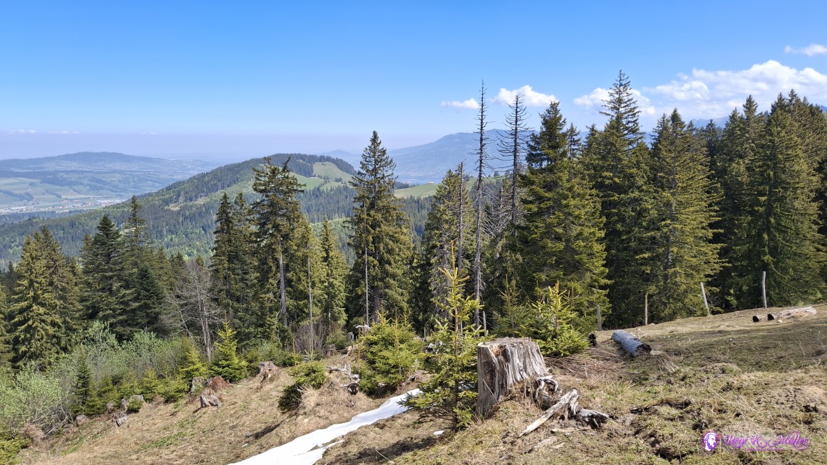 2026/05/01 12:24 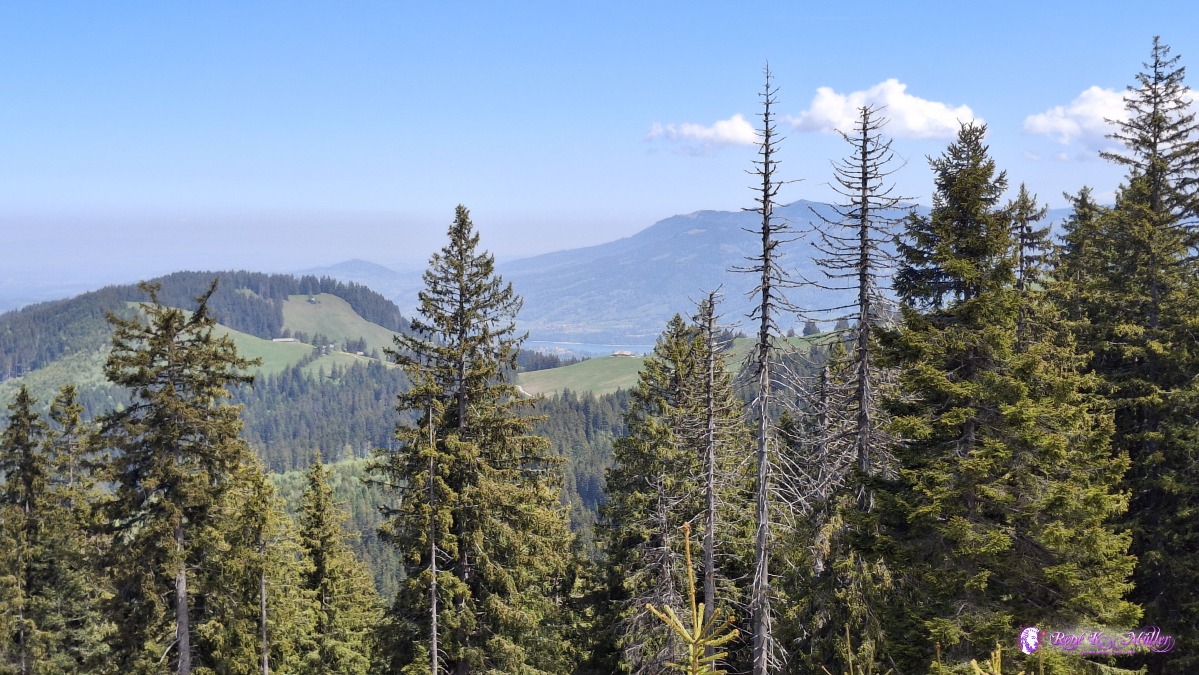 ◈ Haut-Intyamon, Gruyčres (Δ 1525m), 2026/05/01 12:24  ◈ Haut-Intyamon, Gruyčres (Δ 1530m), 2026/05/01 12:27  ◈ Moléson-sur-Gruyčres (Δ 1516m), 2026/05/01 12:30 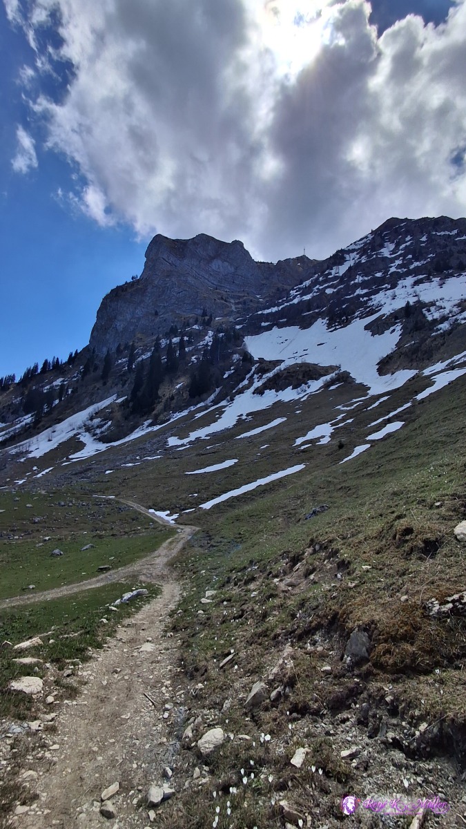 ◈ Moléson-sur-Gruyčres (Δ 1516m), 2026/05/01 12:31 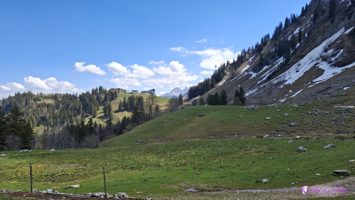 ◈ Moléson-sur-Gruyčres (Δ 1516m), 2026/05/01 12:31 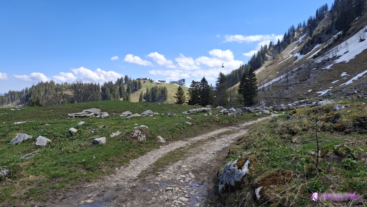 ◈ Moléson-sur-Gruyčres (Δ 1516m), 2026/05/01 12:33 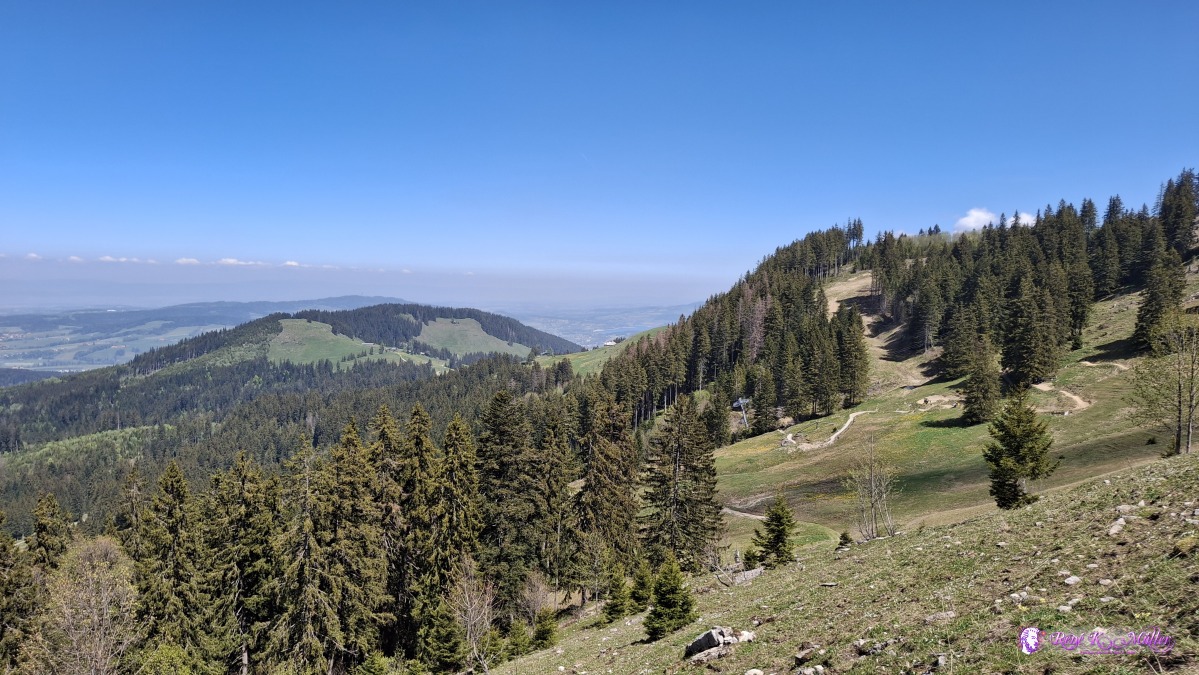 2026/05/01 12:40 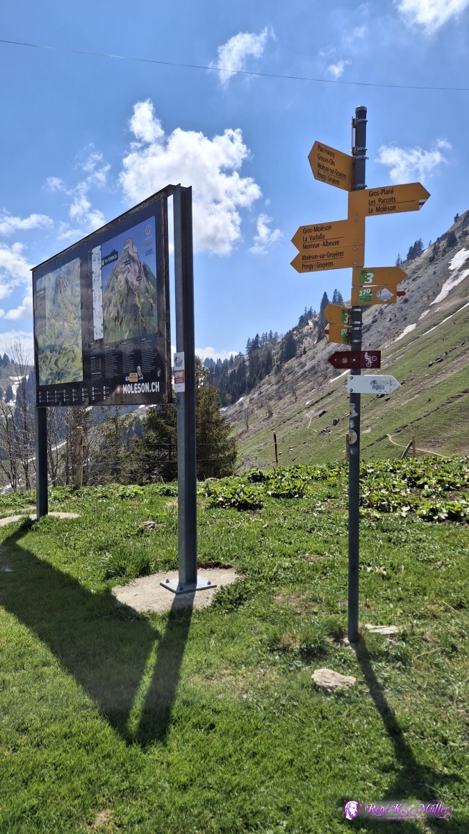 2026/05/01 12:45 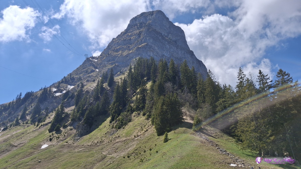 ◈ Moléson-sur-Gruyčres (Δ 1541m), 2026/05/01 12:45 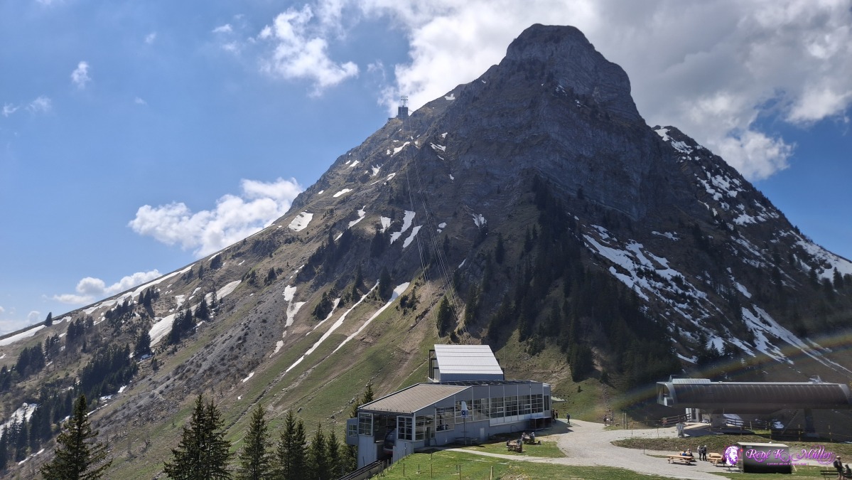 ◈ Moléson-sur-Gruyčres (Δ 1574m), 2026/05/01 12:51 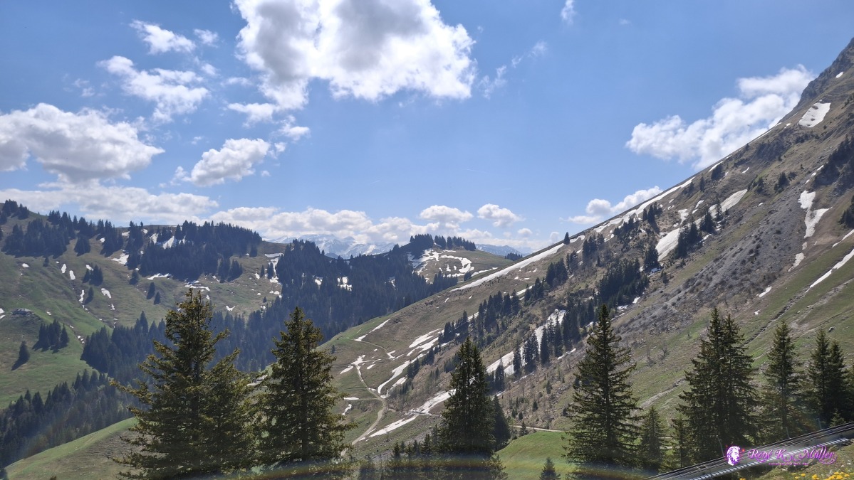 ◈ Moléson-sur-Gruyčres (Δ 1571m), 2026/05/01 12:51 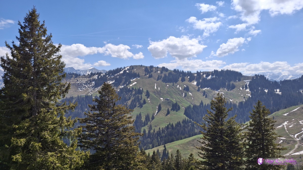 ◈ Moléson-sur-Gruyčres (Δ 1571m), 2026/05/01 12:51 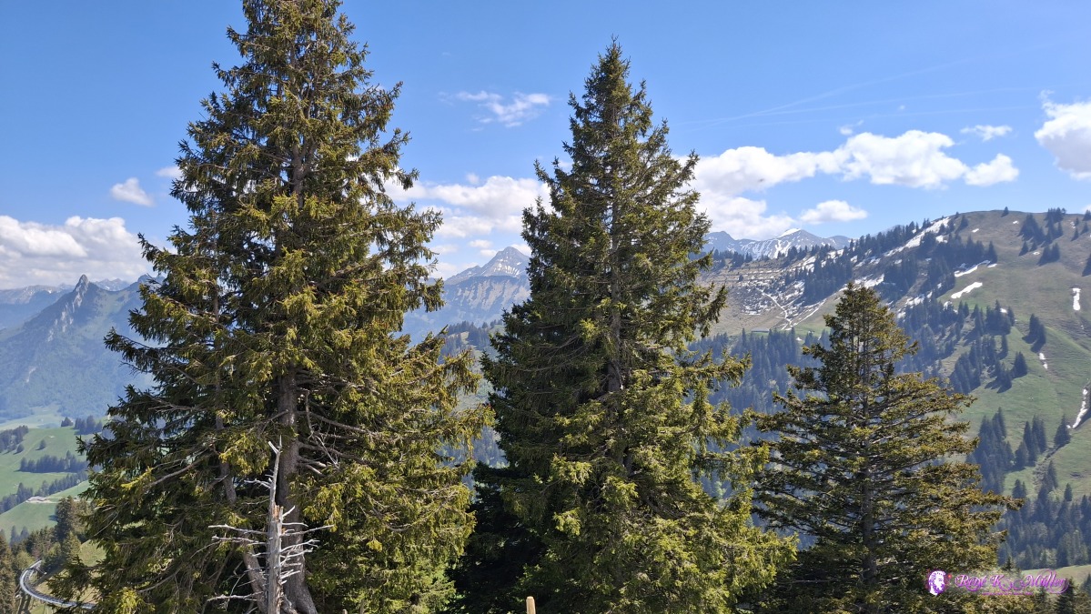 ◈ Moléson-sur-Gruyčres (Δ 1571m), 2026/05/01 12:51 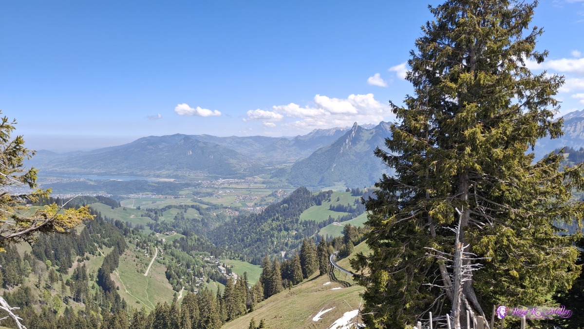 ◈ Moléson-sur-Gruyčres (Δ 1571m), 2026/05/01 12:51 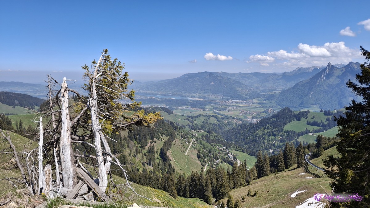 ◈ Moléson-sur-Gruyčres (Δ 1571m), 2026/05/01 12:51 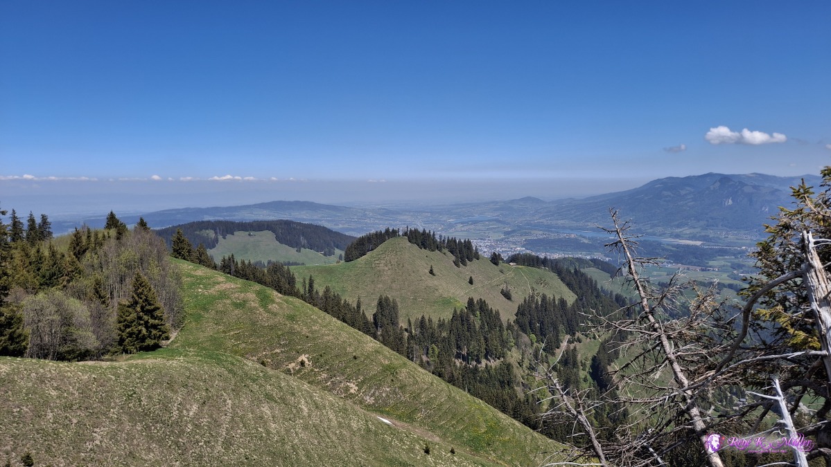 ◈ Moléson-sur-Gruyčres (Δ 1571m), 2026/05/01 12:51 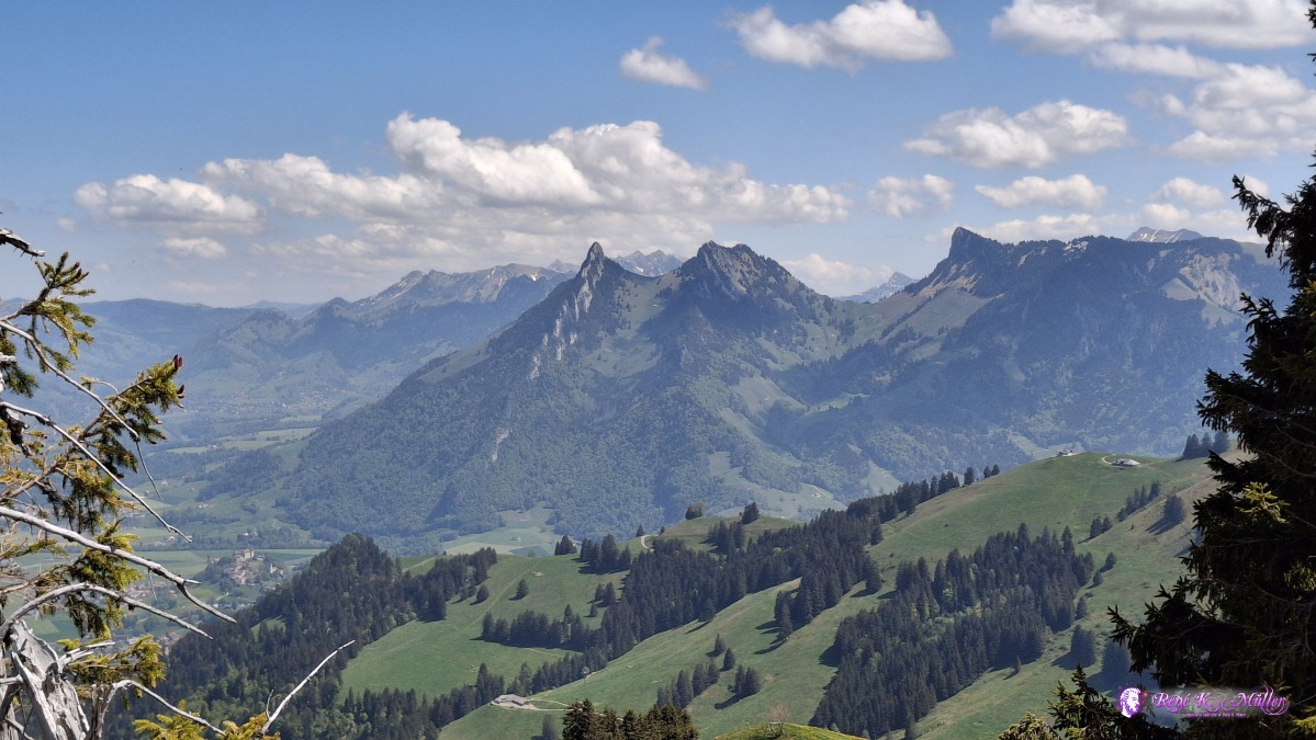 ◈ Moléson-sur-Gruyčres (Δ 1571m), 2026/05/01 12:51 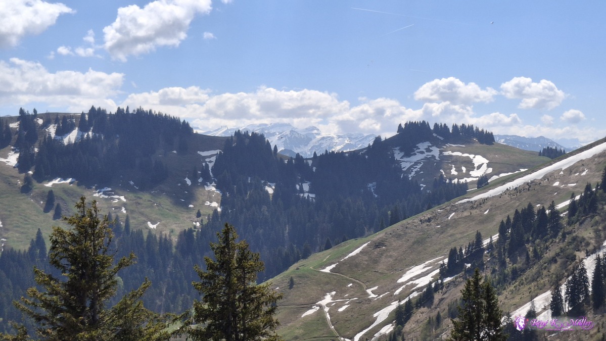 ◈ Moléson-sur-Gruyčres (Δ 1571m), 2026/05/01 12:52 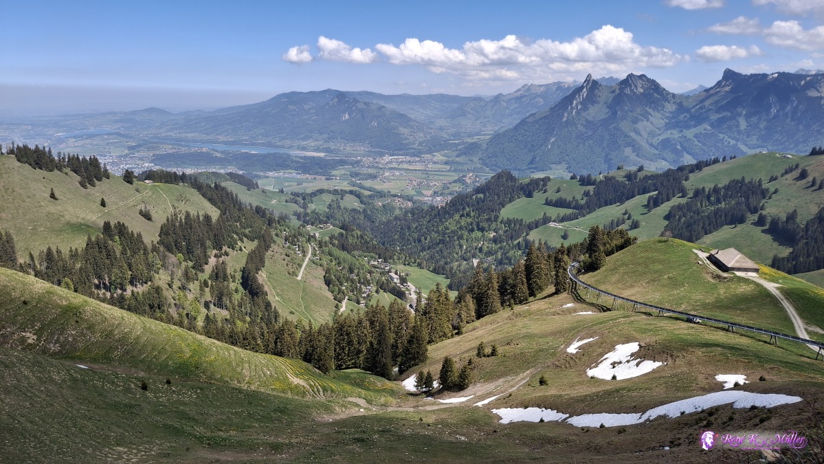 2026/05/01 13:24 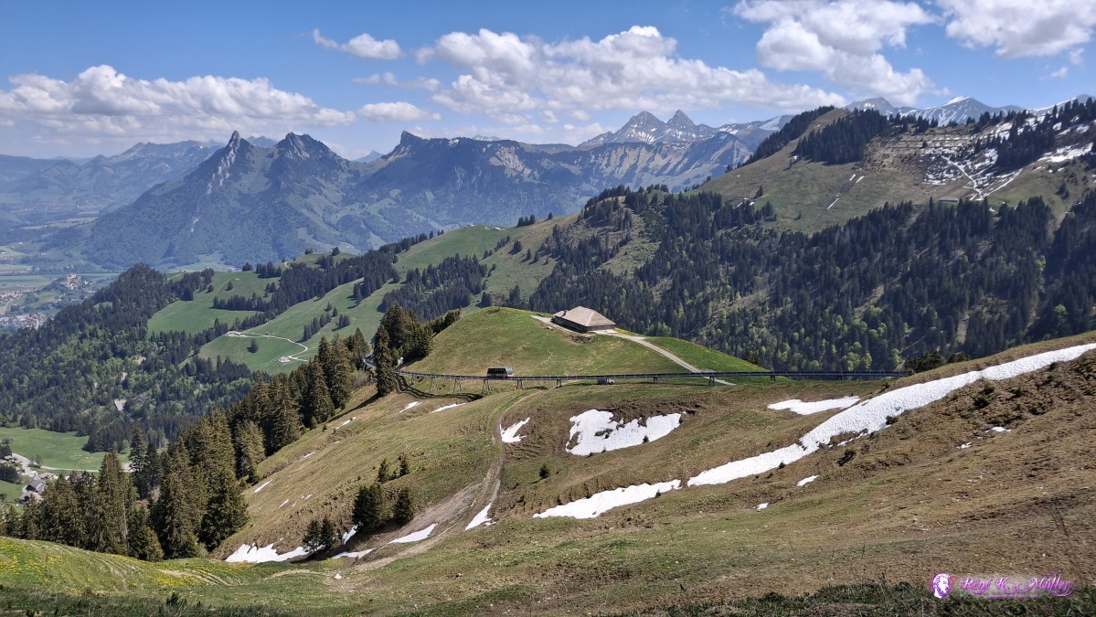 ◈ Moléson-sur-Gruyčres (Δ 1561m), 2026/05/01 13:26 Then start the descend from 1550m down to 750m at Pringy and then Gruyeres, giving the 2nd most known swiss cheese its name; beautiful old village situated on top of a small hill - I pass through and descend again to river La Sarine, and just after the bridge are some fire places and some low grass meadow, where I pitch my tent for tonight.
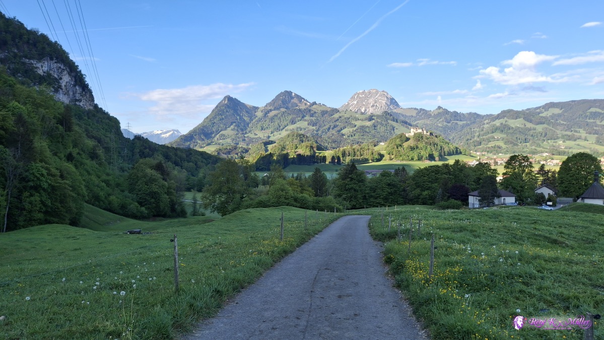
 ◈ Moléson-sur-Gruyčres (Δ 1551m), 2026/05/01 13:28 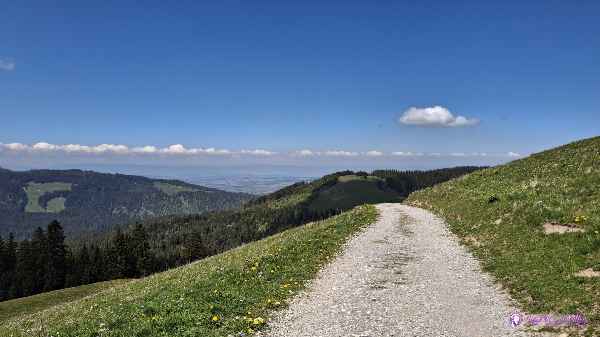 2026/05/01 13:38 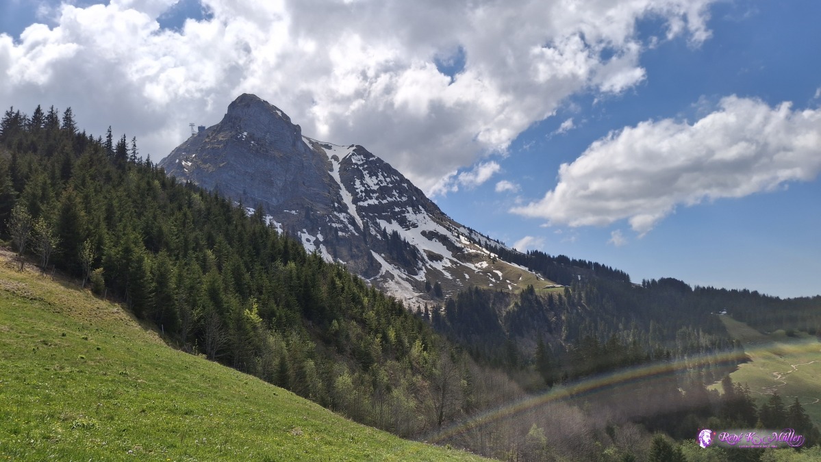 ◈ Moléson-sur-Gruyčres (Δ 1463m), 2026/05/01 13:38 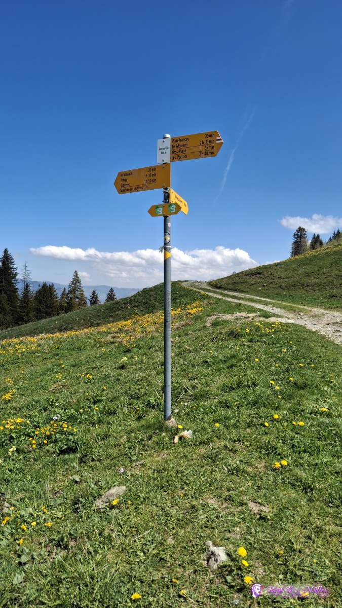 2026/05/01 13:42 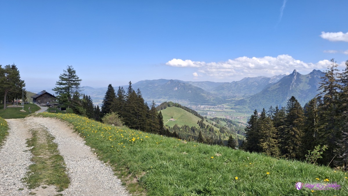 2026/05/01 13:46 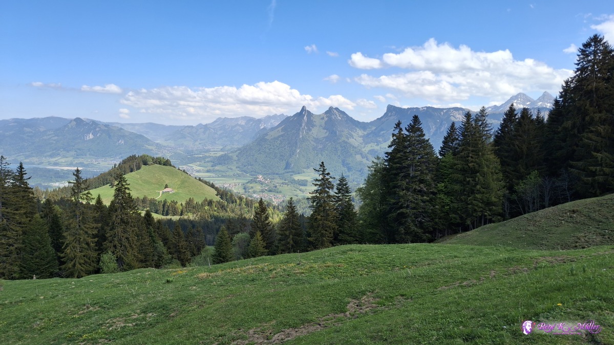 ◈ Moléson-sur-Gruyčres (Δ 1372m), 2026/05/01 13:52  ◈ Moléson-sur-Gruyčres (Δ 1372m), 2026/05/01 13:52 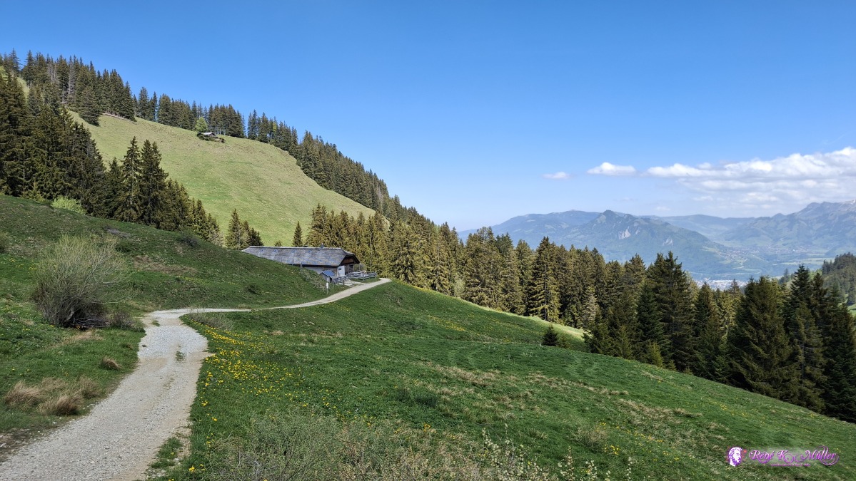 ◈ Bulle (Δ 1335m), 2026/05/01 13:58 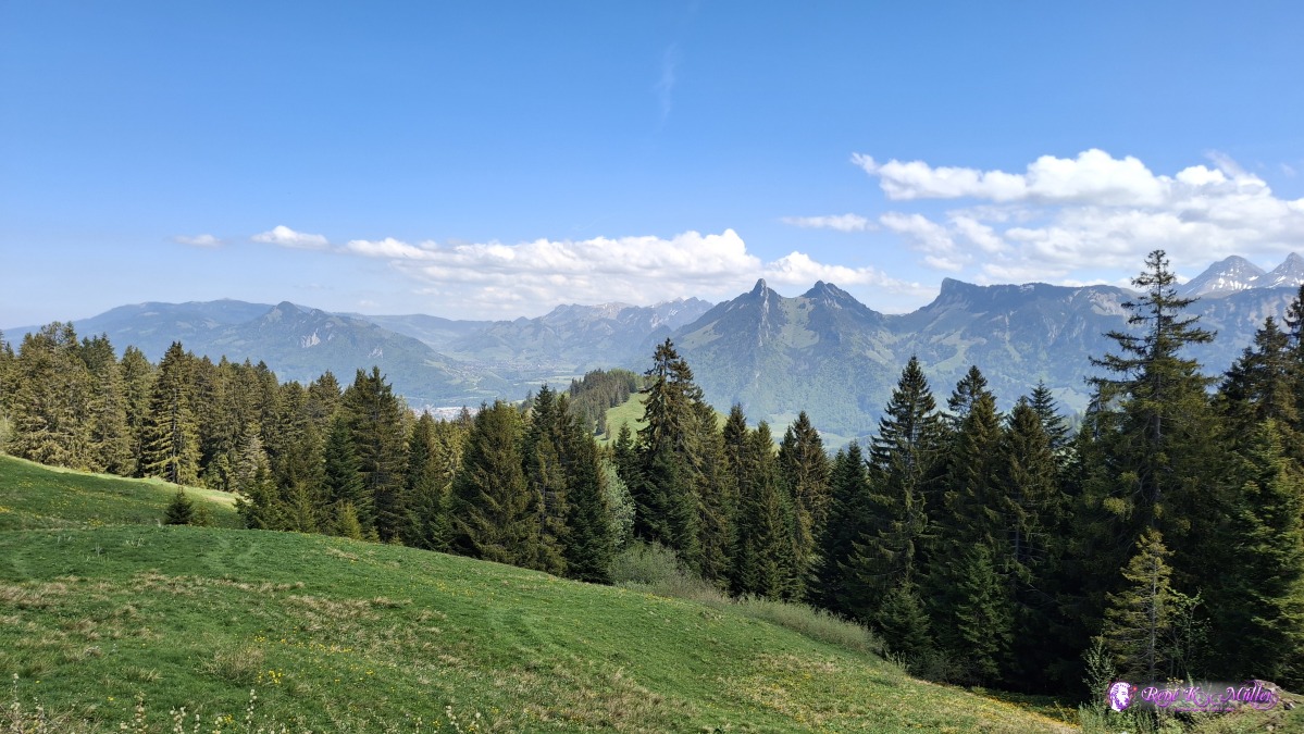 ◈ Bulle (Δ 1347m), 2026/05/01 13:58 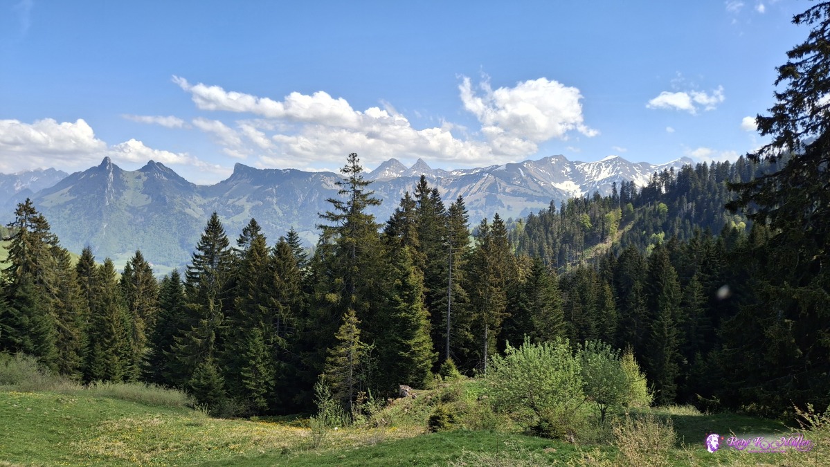 ◈ Bulle (Δ 1339m), 2026/05/01 13:58 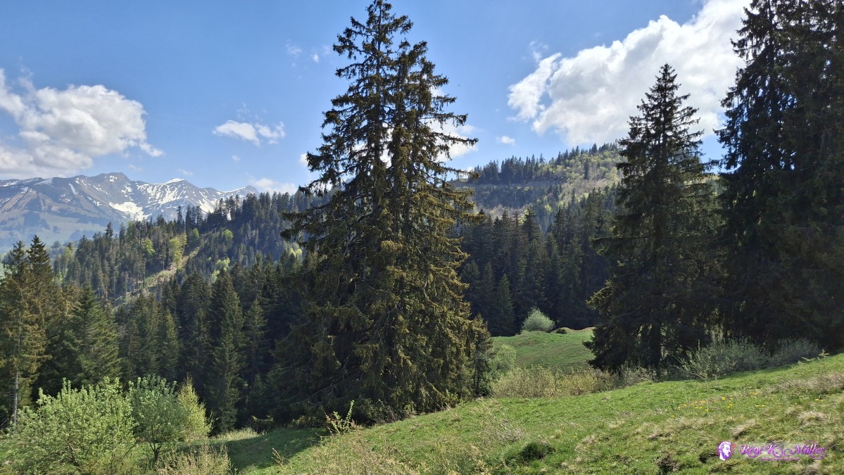 ◈ Bulle (Δ 1339m), 2026/05/01 13:58 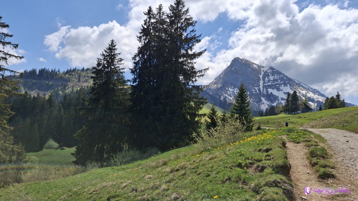 ◈ Bulle (Δ 1339m), 2026/05/01 13:58 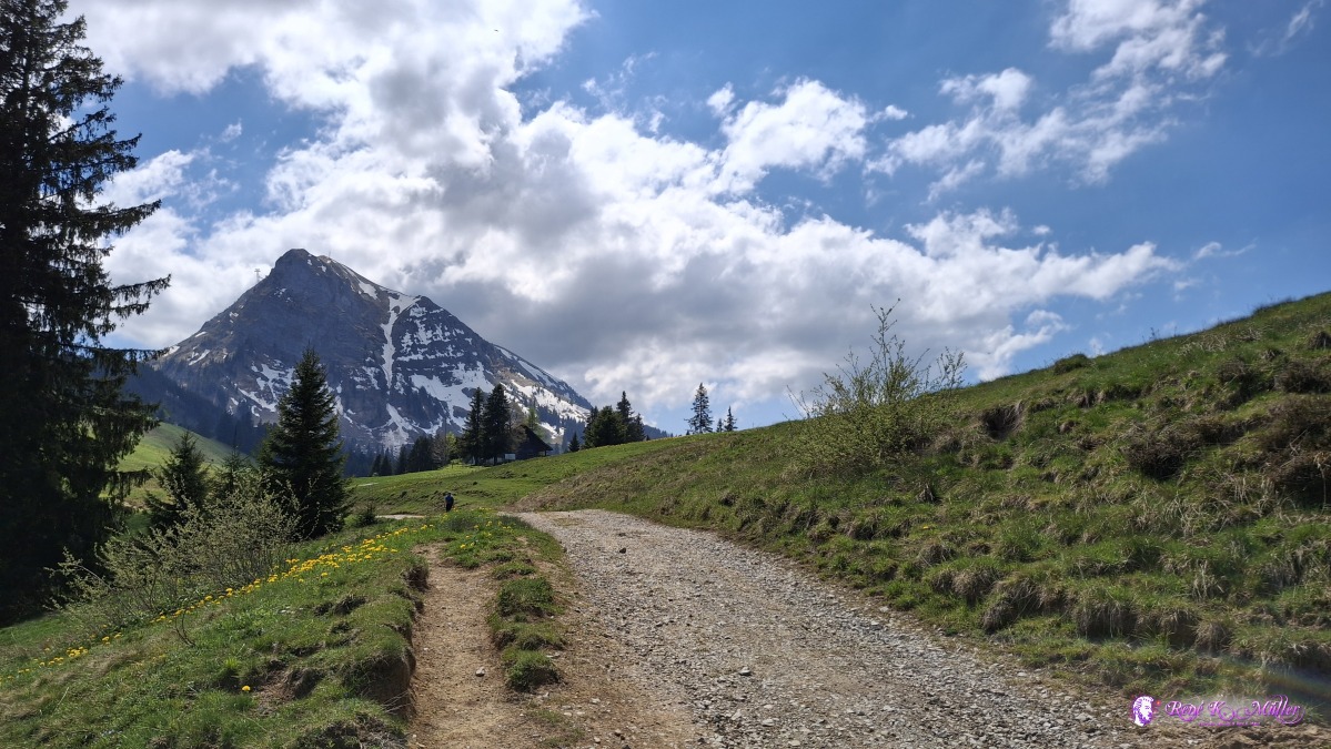 ◈ Bulle (Δ 1339m), 2026/05/01 13:58 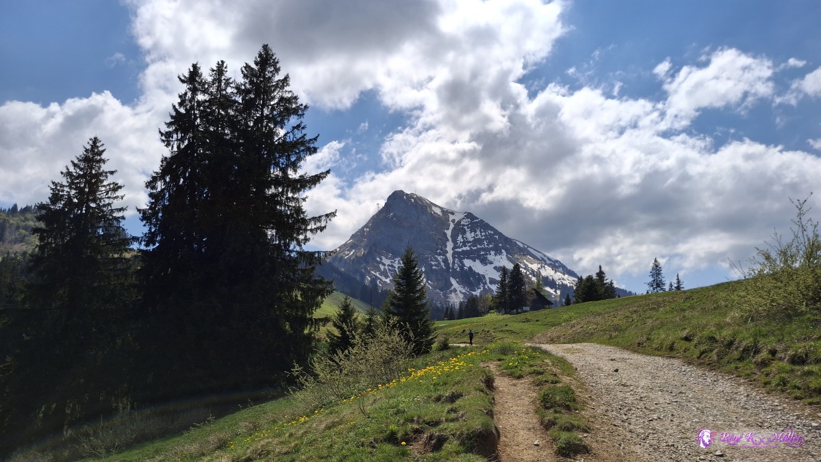 ◈ Bulle (Δ 1339m), 2026/05/01 13:58  2026/05/01 14:03 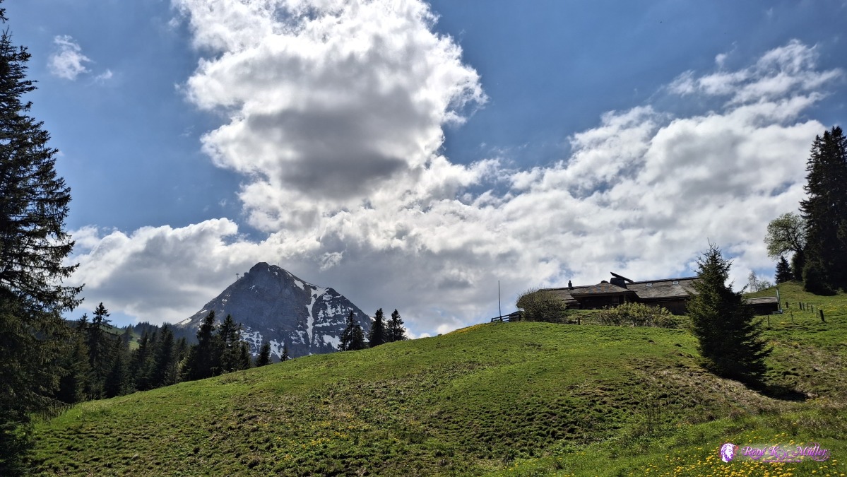 ◈ Bulle (Δ 1329m), 2026/05/01 14:03 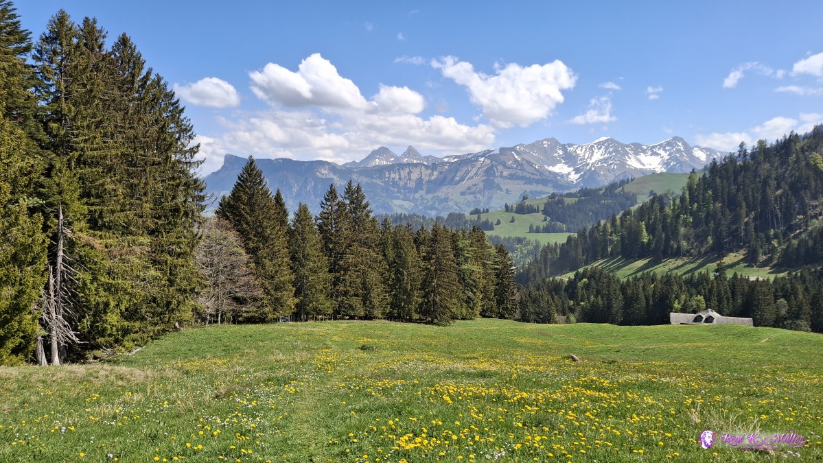 ◈ Bulle (Δ 1287m), 2026/05/01 14:07 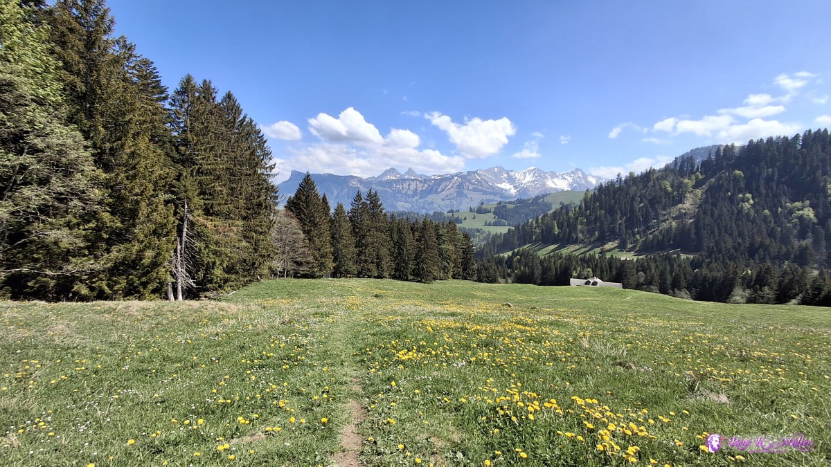 ◈ Bulle (Δ 1292m), 2026/05/01 14:07 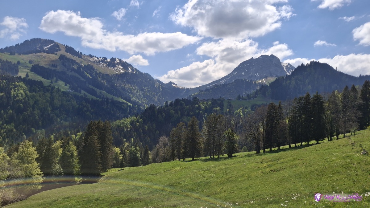 2026/05/01 14:35 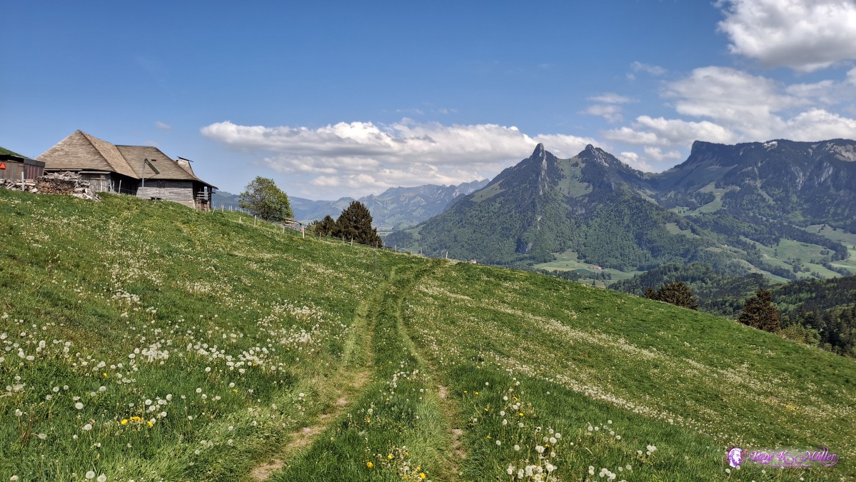 ◈ Moléson-sur-Gruyčres (Δ 1109m), 2026/05/01 14:35 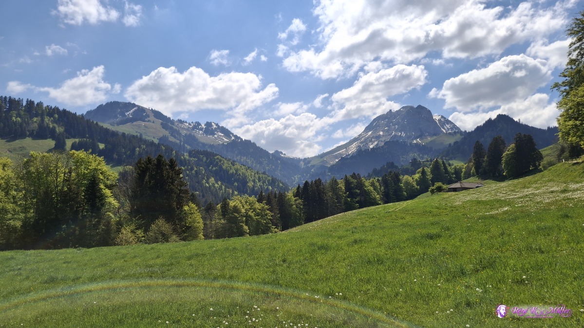 ◈ Moléson-sur-Gruyčres (Δ 1022m), 2026/05/01 14:45 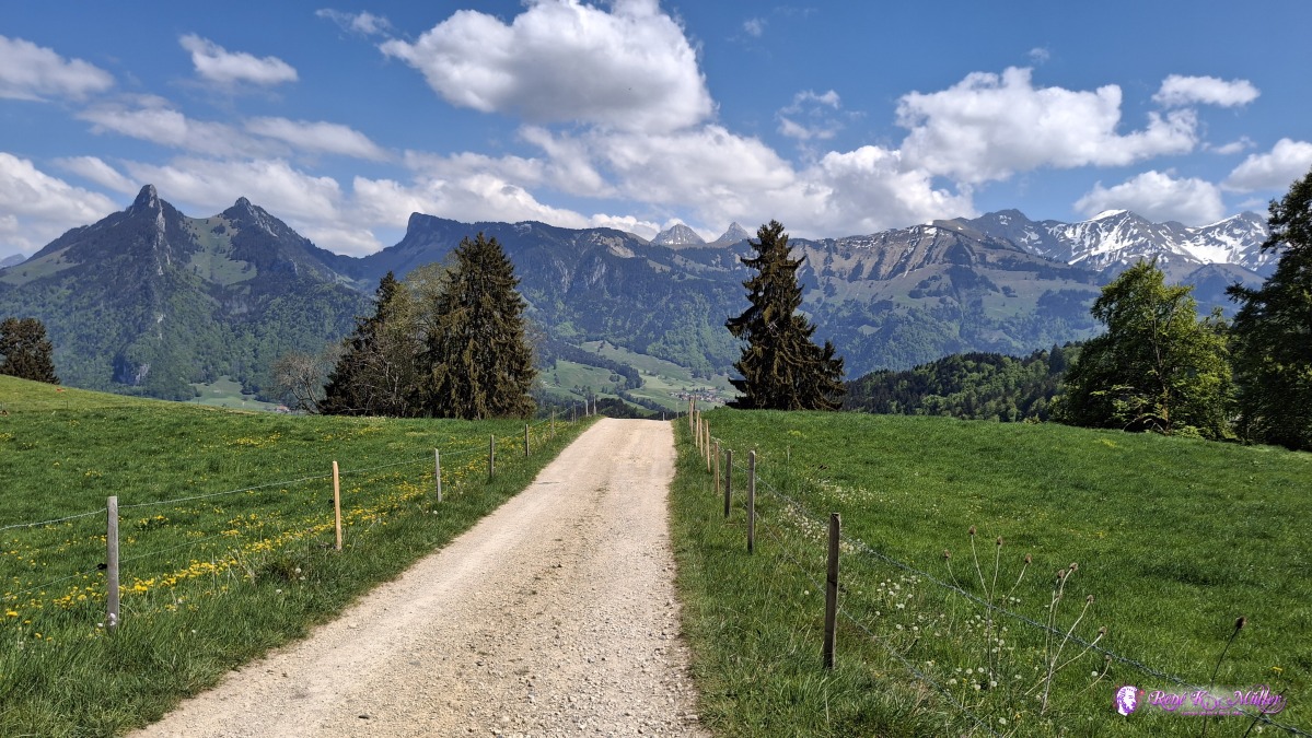 ◈ Moléson-sur-Gruyčres (Δ 1022m), 2026/05/01 14:45 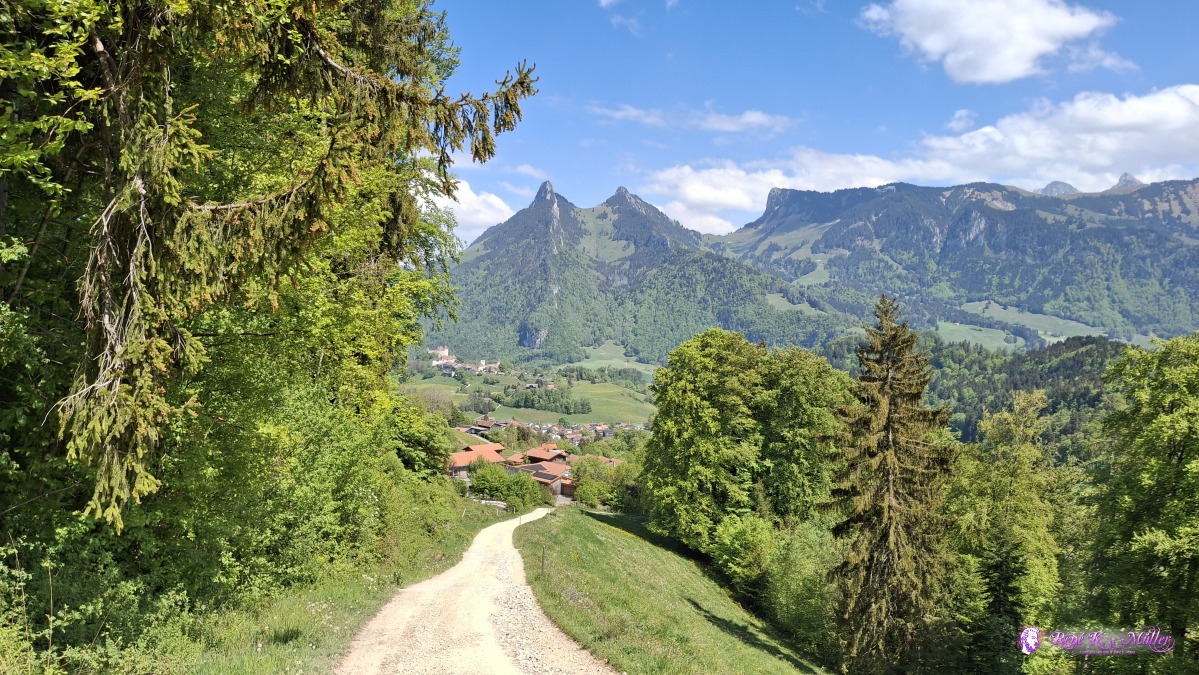 View to Pringy & Gruyeres with the castle 2026/05/01 14:55 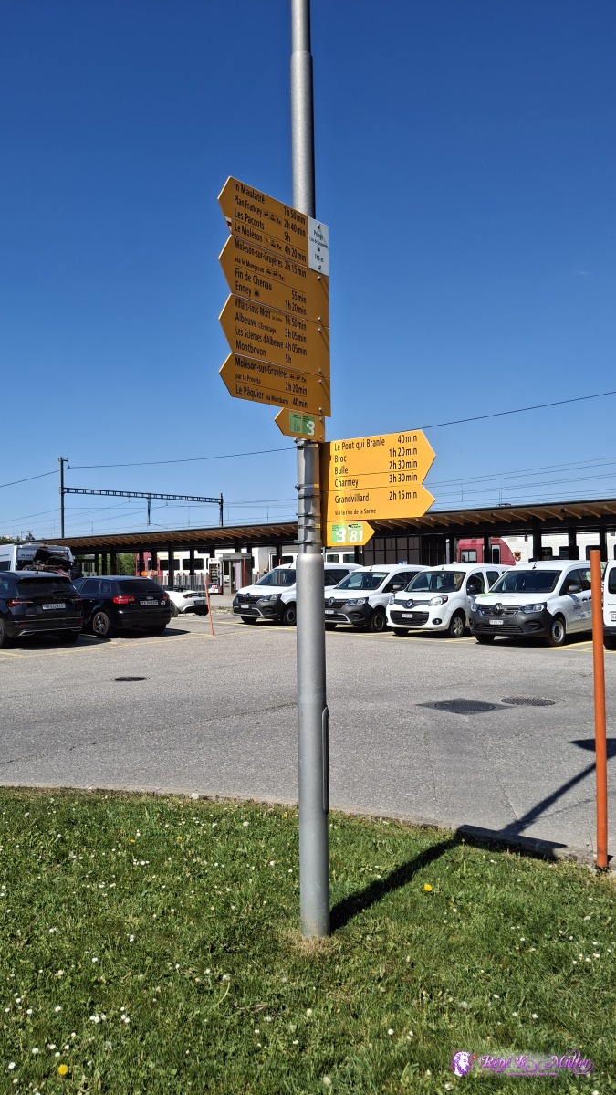 ◈ Le Bourgo, Pringy (Δ 804m), 2026/05/01 15:22 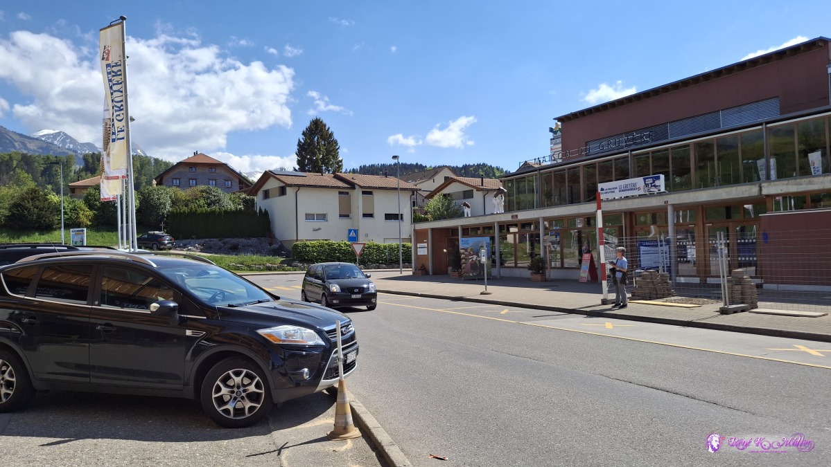 Maison ou Gruyere (cheese manufacturing) ◈ Le Bourgo, Pringy (Δ 799m), 2026/05/01 15:23 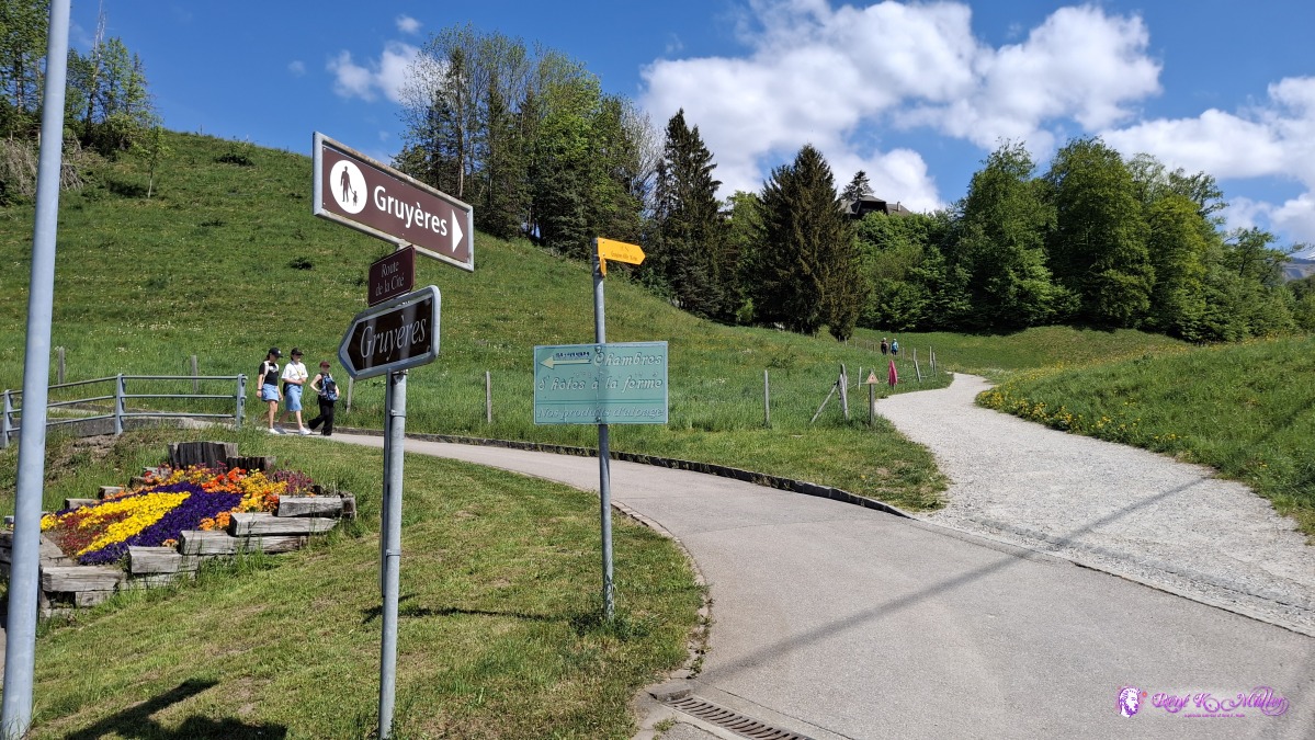 ◈ Le Bourgo, Pringy (Δ 786m), 2026/05/01 15:24 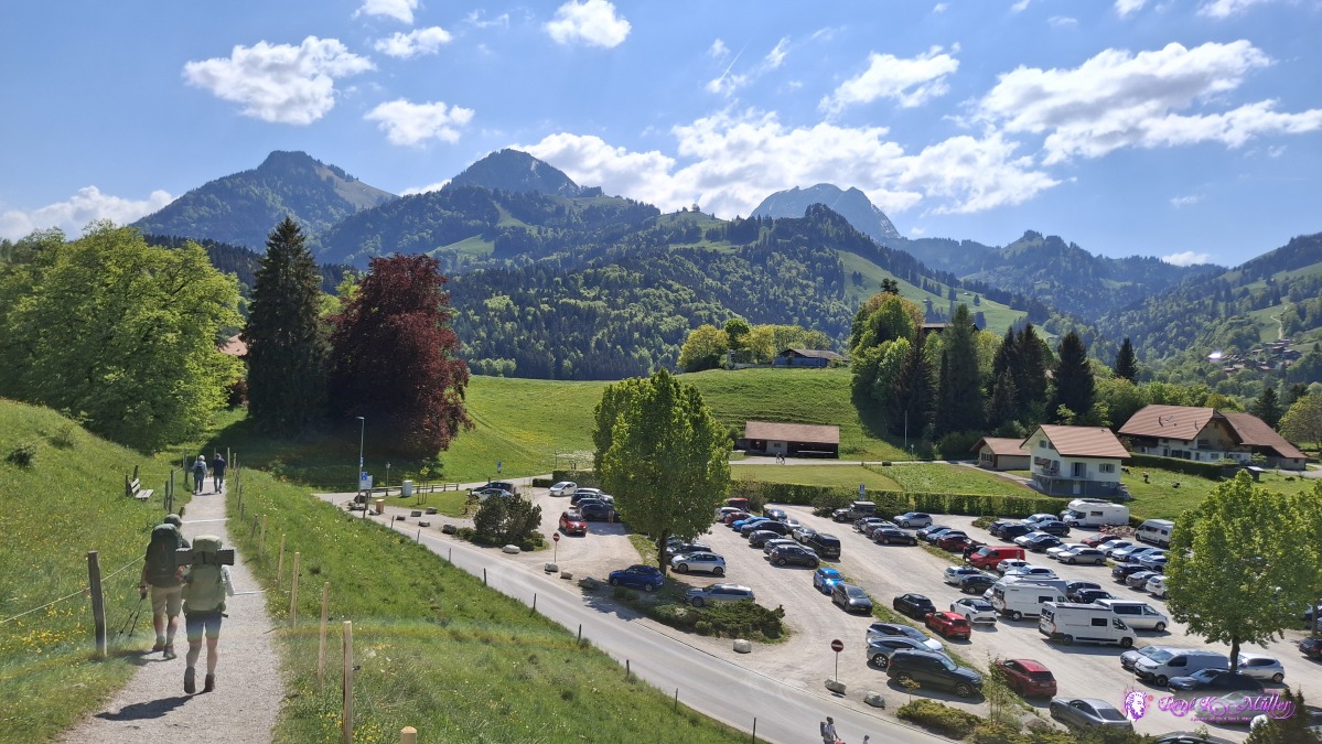 ◈ Le Bourgo, Epagny (Δ 822m), 2026/05/01 15:34 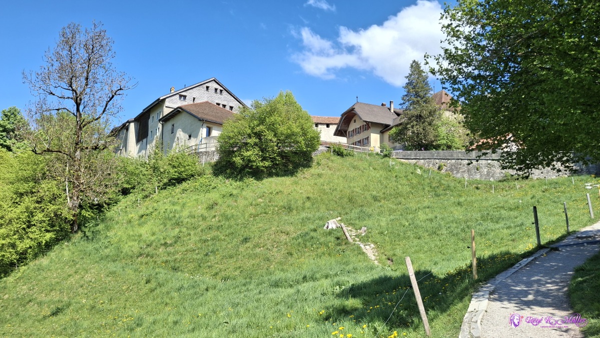 ◈ Le Bourgo, Epagny (Δ 843m), 2026/05/01 15:35 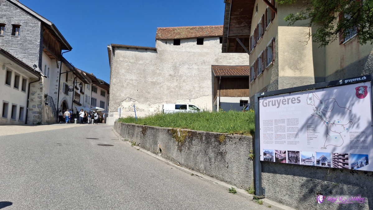 ◈ Le Bourgo, Epagny (Δ 865m), 2026/05/01 15:36 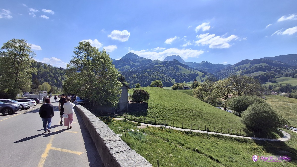 Old village of Gruyeres ◈ Le Bourgo, Epagny (Δ 865m), 2026/05/01 15:37 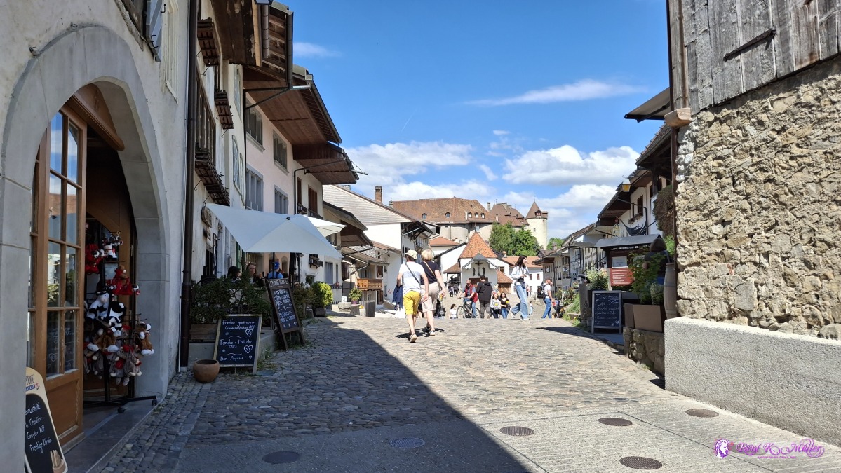 Old village of Gruyeres ◈ Le Bourgo, Epagny (Δ 870m), 2026/05/01 15:37 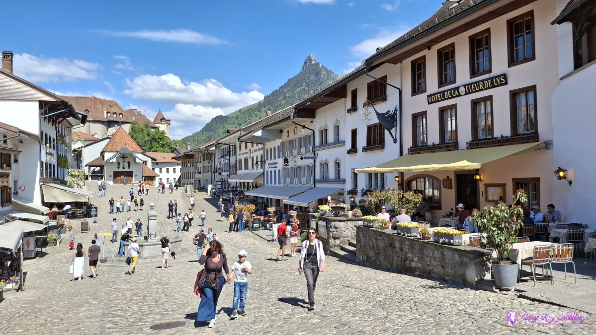 Old village of Gruyeres ◈ Le Bourgo, Epagny (Δ 854m), 2026/05/01 15:38 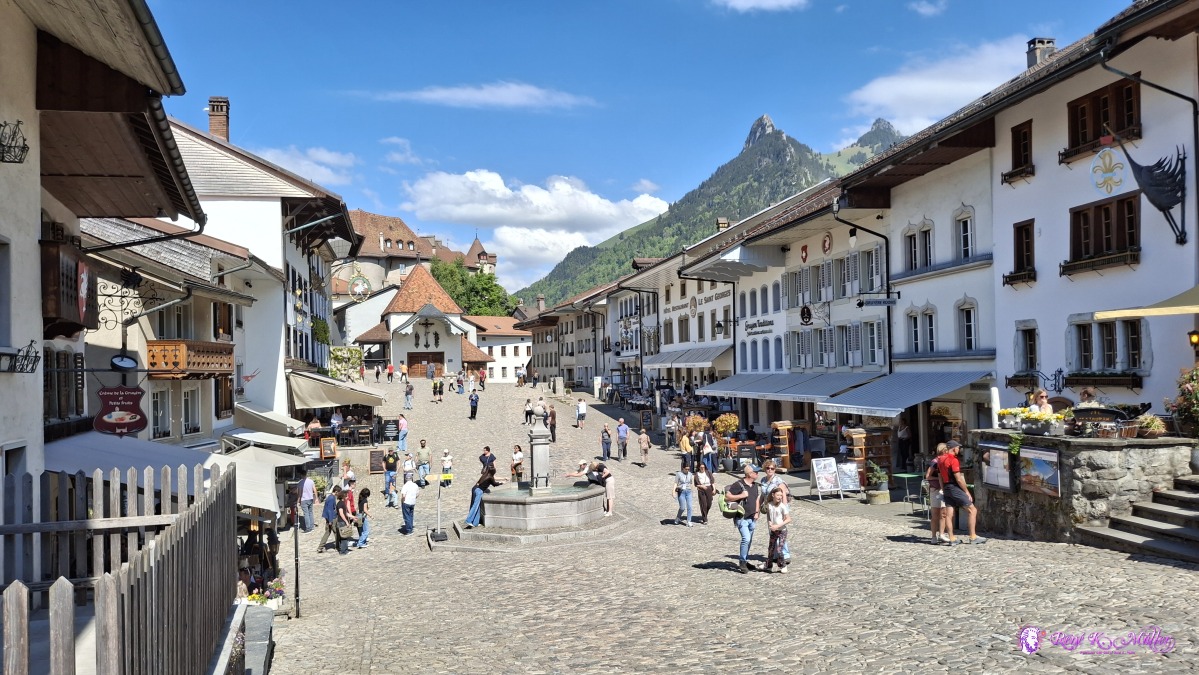 ◈ Le Bourgo, Epagny (Δ 874m), 2026/05/01 15:38 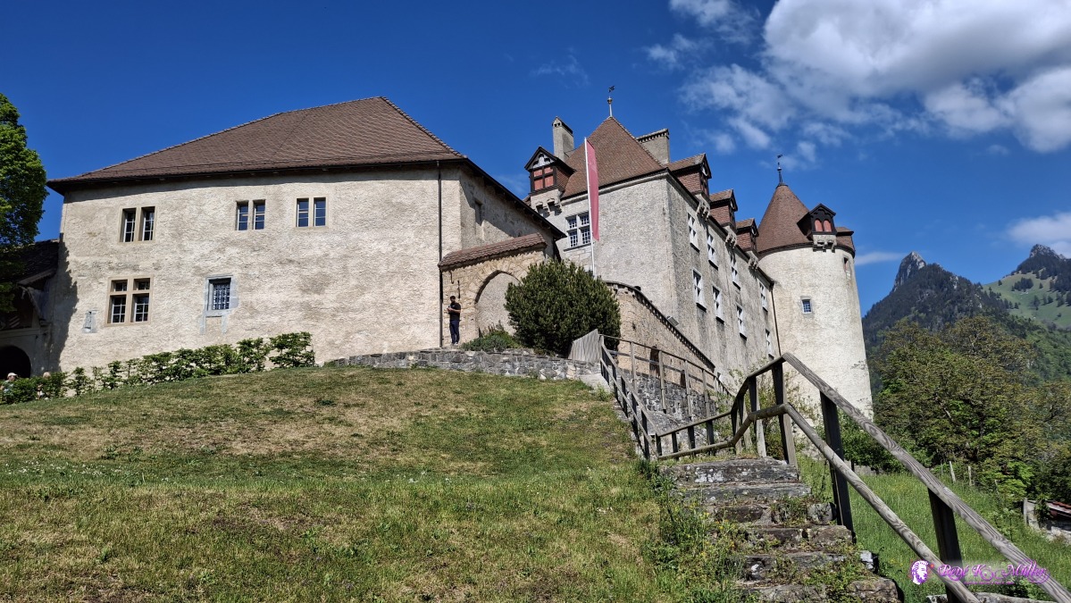 ◈ Le Bourgo, Epagny (Δ 874m), 2026/05/01 15:43  ◈ Le Bourgo, Epagny (Δ 883m), 2026/05/01 15:43 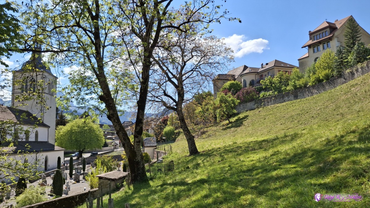 ◈ Le Bourgo, Epagny (Δ 871m), 2026/05/01 15:46 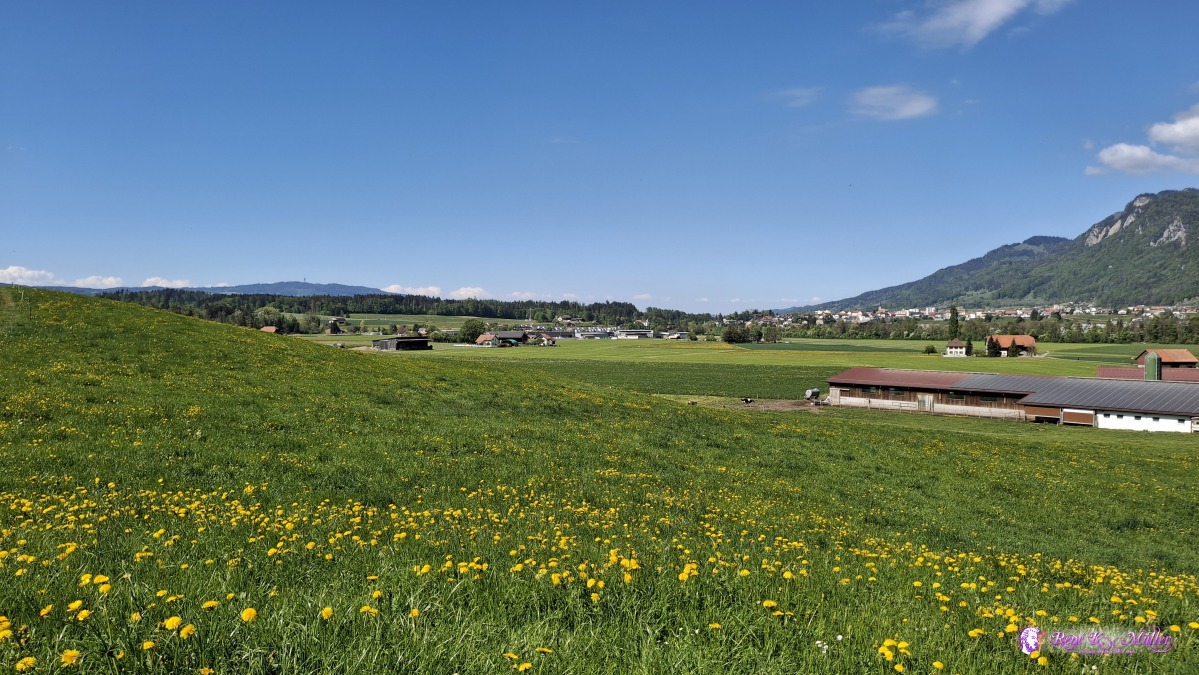 ◈ Epagny (Δ 758m), 2026/05/01 15:59 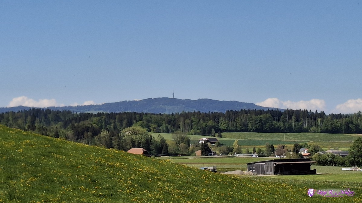 ◈ Epagny (Δ 758m), 2026/05/01 15:59 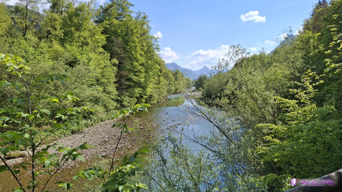 ◈ Epagny (Δ 754m), 2026/05/01 16:06 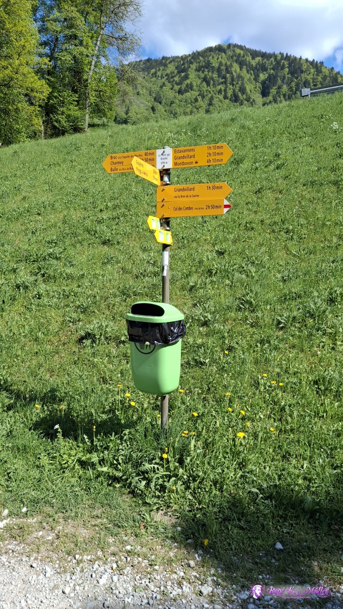 ◈ Epagny (Δ 769m), 2026/05/01 16:07 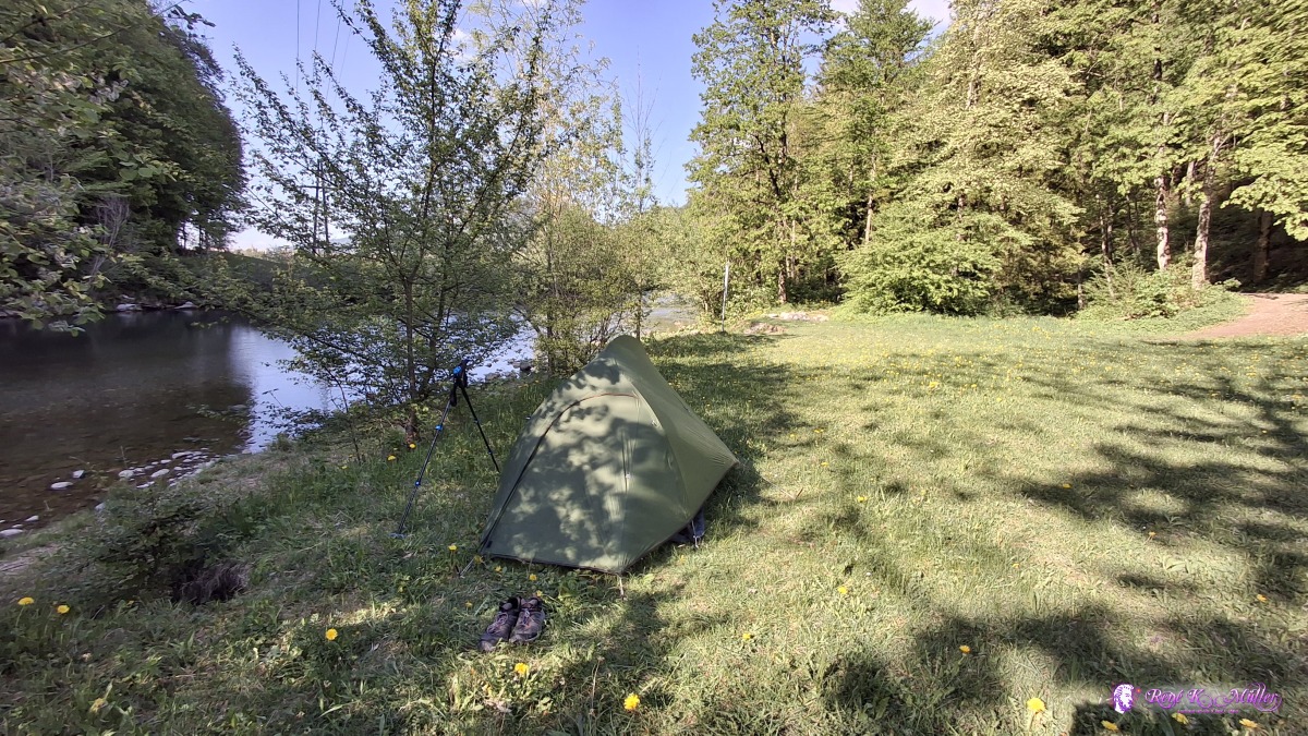 2026/05/01 17:42 It feels like summer time, ~25°C late afternoon, and slow cooling after the sun sets over the nearby mountains. Saturday 2026/05/02: Gruyeres - Rossens/Le BryGood sleep, waking up early and packing in the shadow, the tent still wet from condensation - heading to Broc, famous for Cailler chocolate factory, and shopping briefly for today, and then on the left-hand side of the Lac de Gruyeres (Greyerzersee) toward Corbieres but I stay on the left-hand side, a bit a longer route toward Rossens - nice trail along the low water line on the lake, exposing sand like beach all along. After noon I decide to shorten the day, later trains seems overcrowded, so I try to fetch earlier train connections and so I end the hike at Le Bry, short before Rossens FR.
 ◈ Broc (Δ 789m), 2026/05/02 08:27 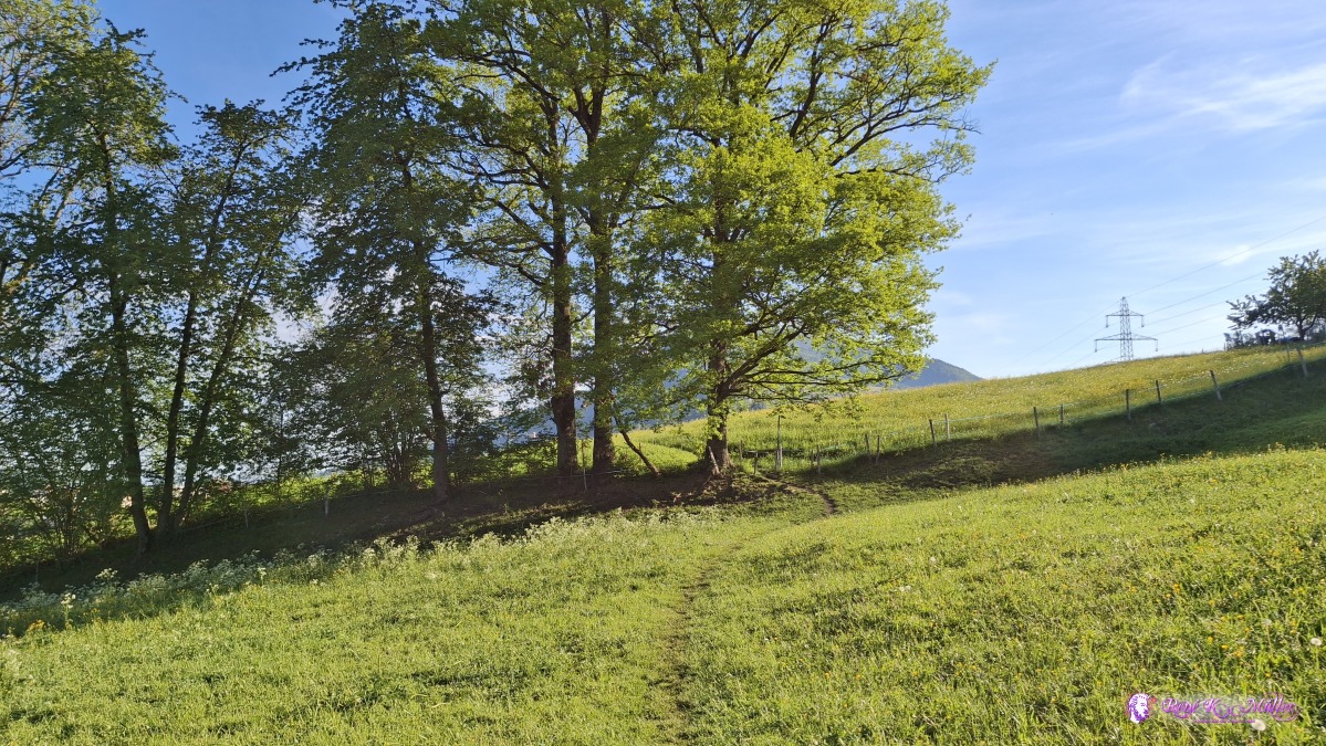 2026/05/02 08:34 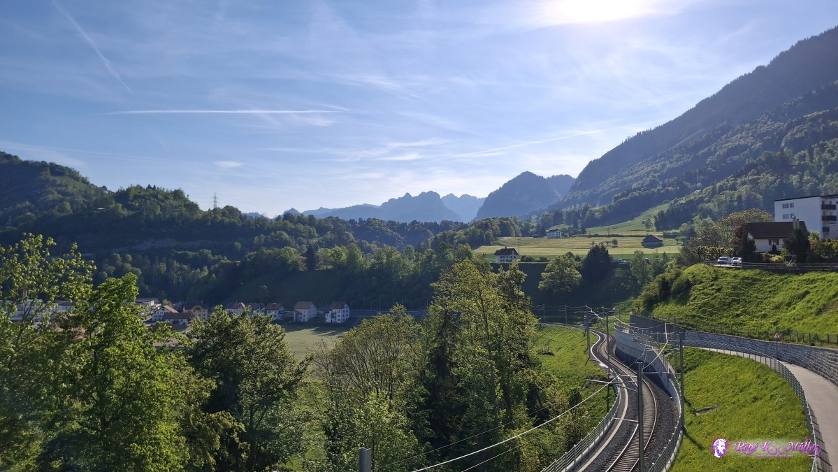 ◈ Broc (Δ 801m), 2026/05/02 08:59 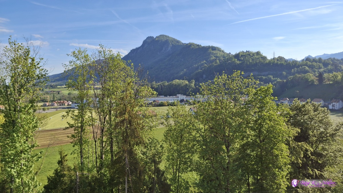 ◈ Broc (Δ 801m), 2026/05/02 08:59 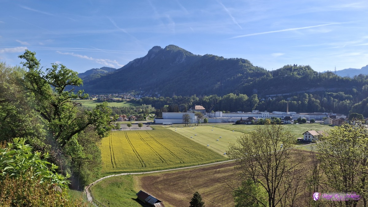 ◈ Broc (Δ 776m), 2026/05/02 09:02 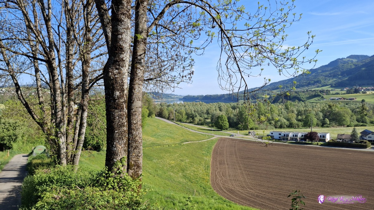 ◈ Broc (Δ 772m), 2026/05/02 09:19 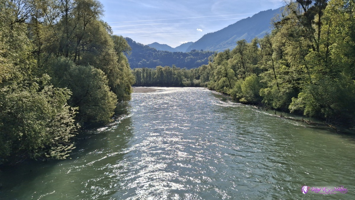 ◈ Morlon (Δ 737m), 2026/05/02 09:35 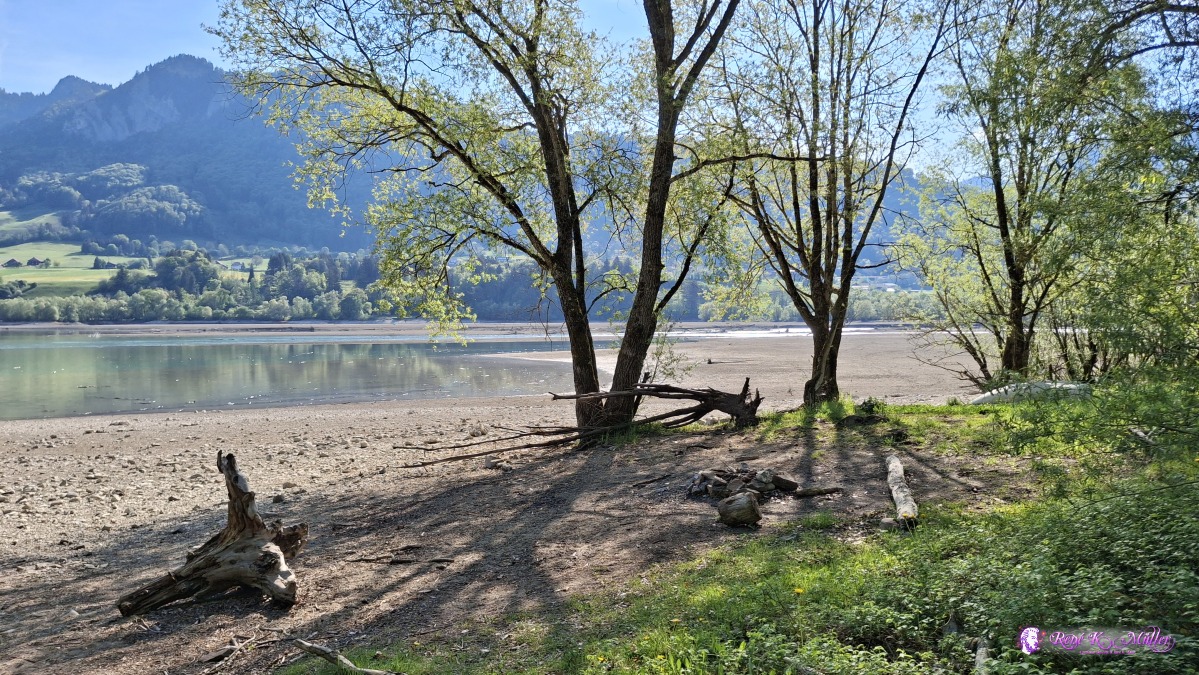 2026/05/02 09:41 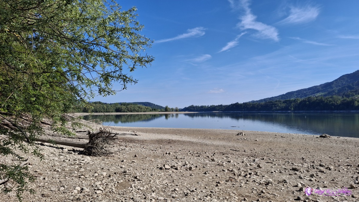 ◈ Morlon (Δ 735m), 2026/05/02 09:41 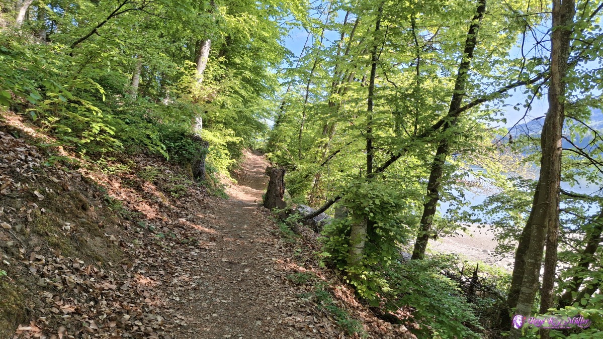 ◈ Morlon (Δ 740m), 2026/05/02 09:42 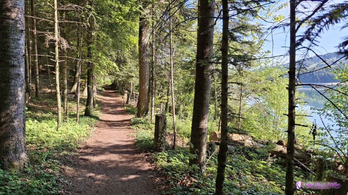 ◈ Morlon (Δ 751m), 2026/05/02 10:09 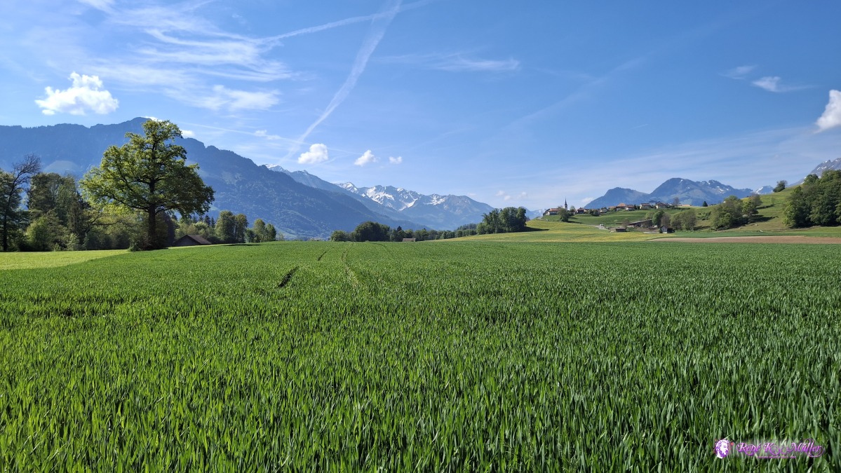 ◈ Echarlens (Δ 757m), 2026/05/02 10:17 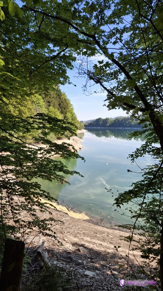 2026/05/02 10:26 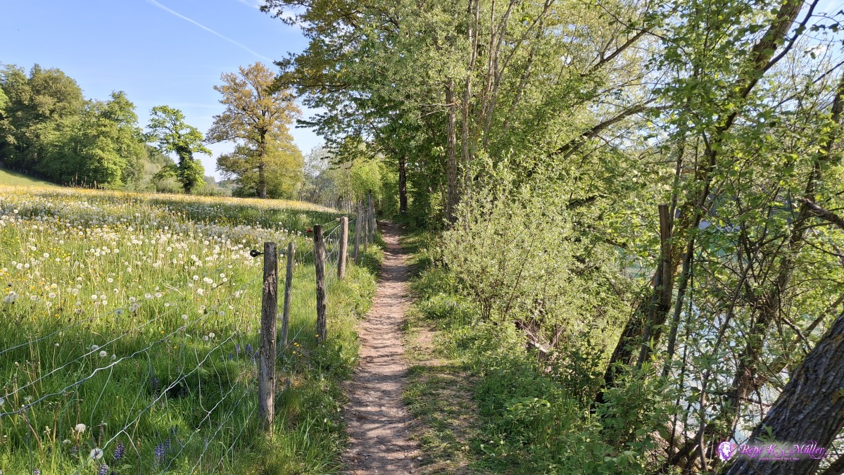 ◈ Echarlens (Δ 732m), 2026/05/02 10:33 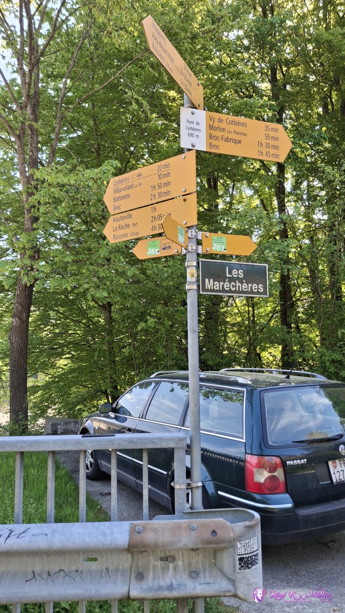 ◈ Echarlens (Δ 744m), 2026/05/02 10:50 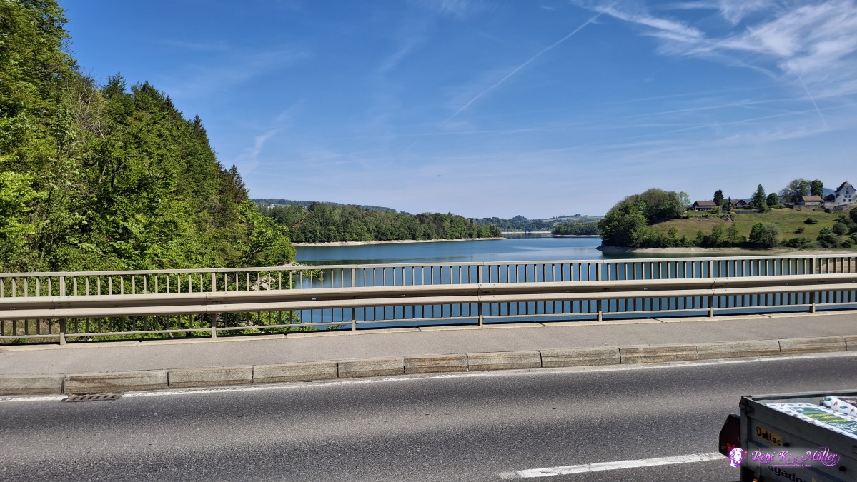 ◈ Corbičres (Δ 734m), 2026/05/02 10:52  ◈ Vuippens (Δ 760m), 2026/05/02 11:23  2026/05/02 11:38 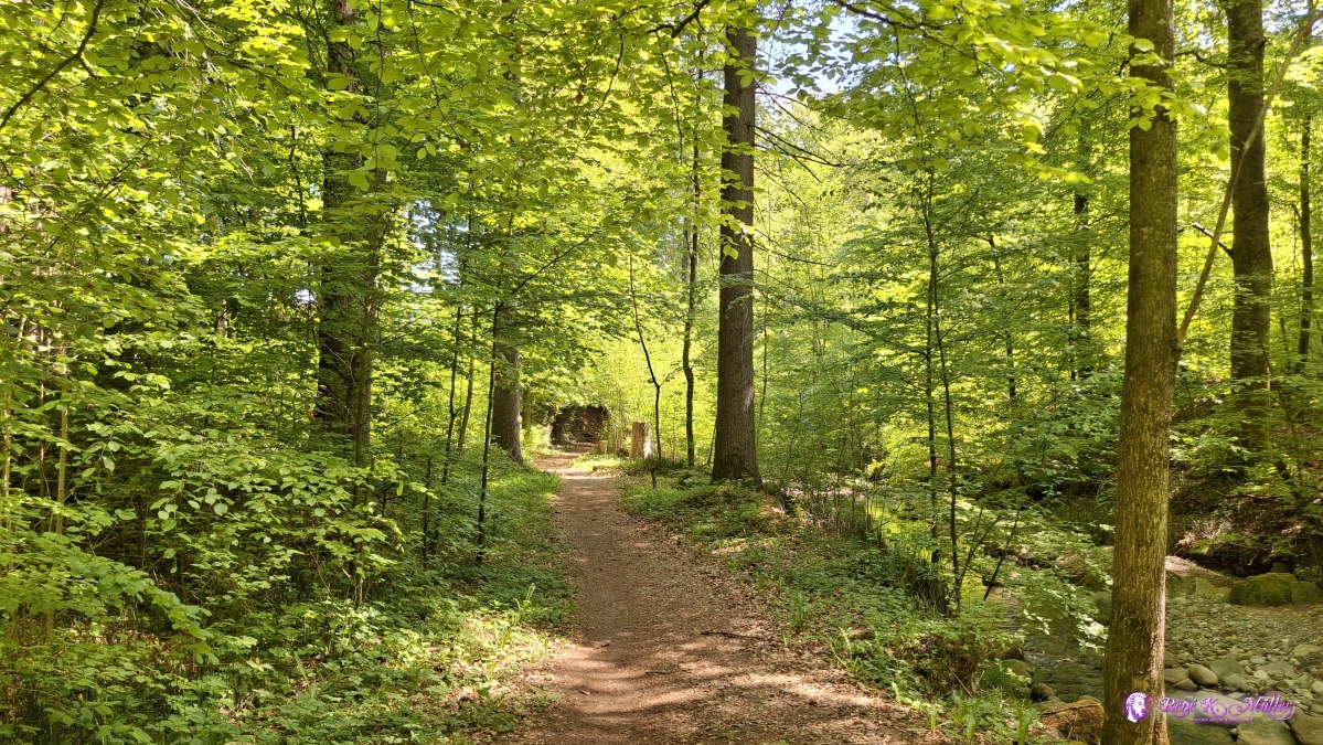 ◈ Vuippens (Δ 750m), 2026/05/02 11:49 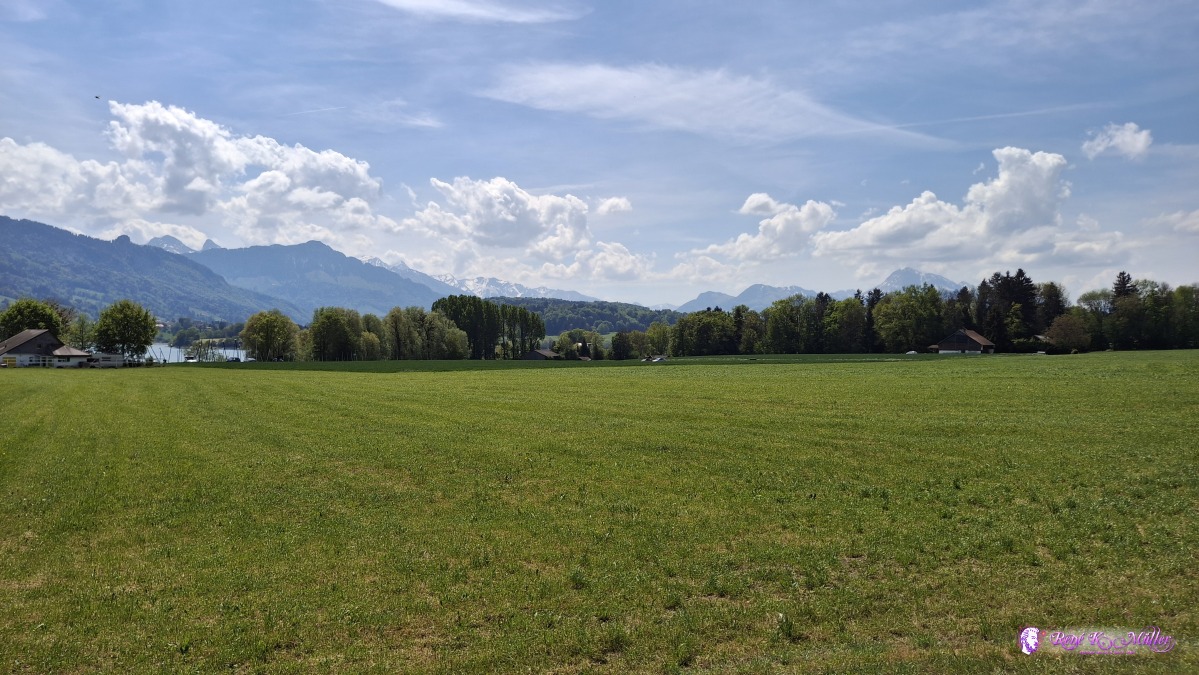 2026/05/02 12:46 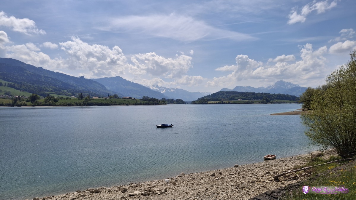 ◈ Avry (Δ 728m), 2026/05/02 13:00 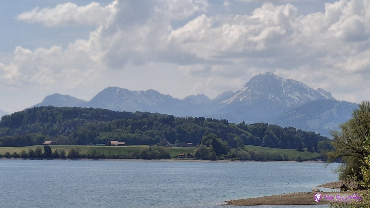 ◈ Avry (Δ 728m), 2026/05/02 13:00 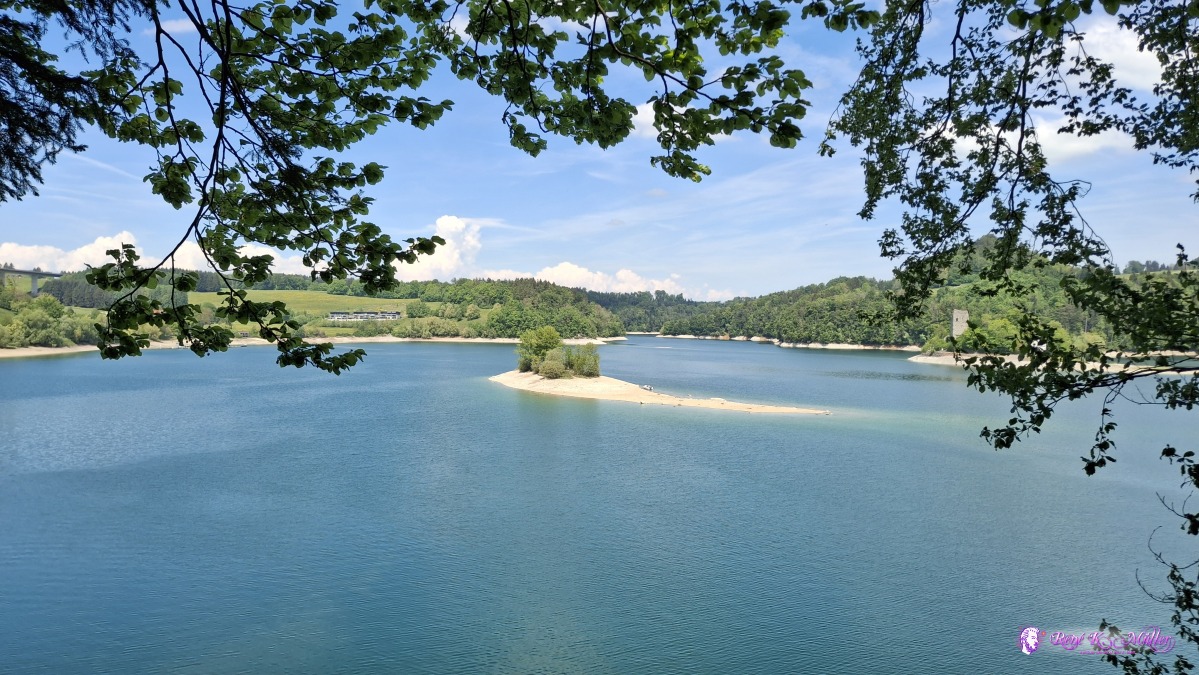 ◈ Avry (Δ 738m), 2026/05/02 13:23 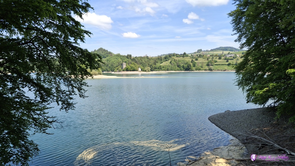 ◈ Pont-en-Ogoz, Le Bry (Δ 737m), 2026/05/02 13:31 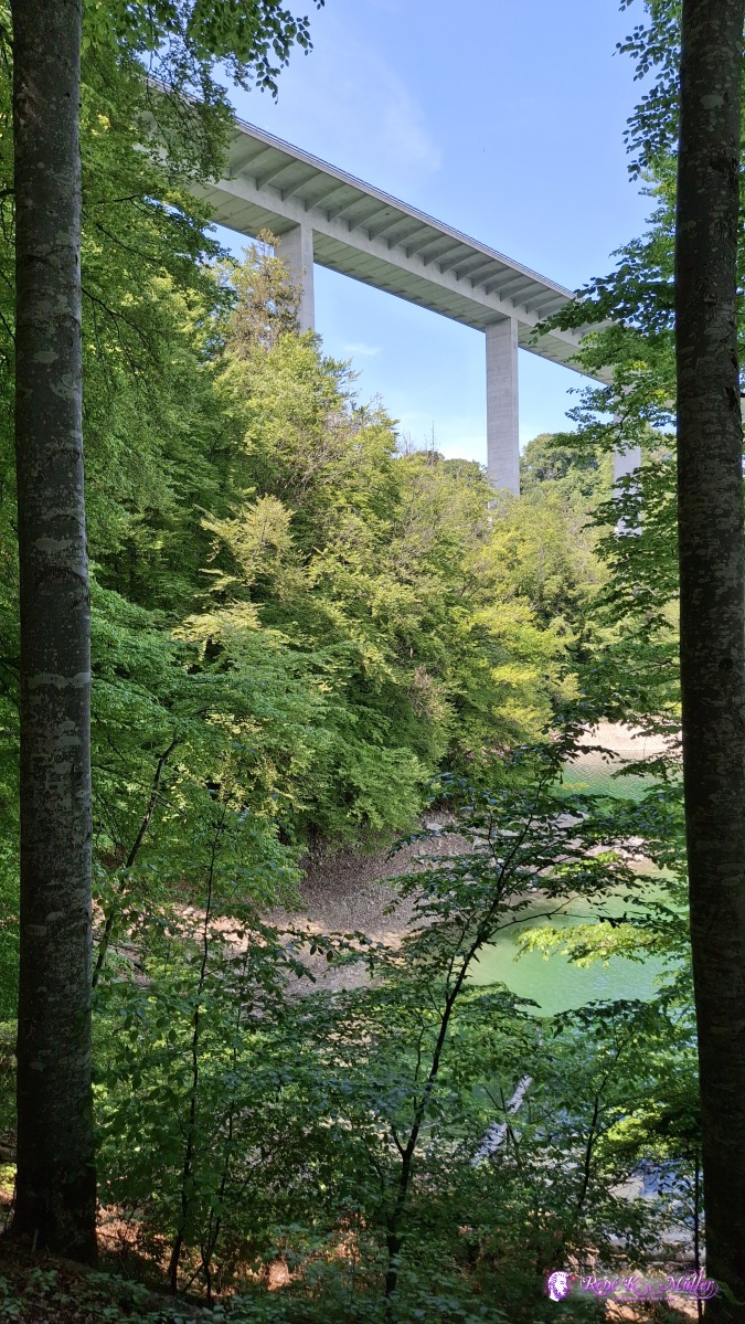 ◈ Pont-en-Ogoz, Le Bry (Δ 748m), 2026/05/02 13:34 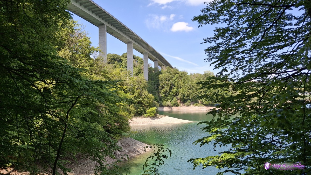 ◈ Pont-en-Ogoz, Le Bry (Δ 751m), 2026/05/02 13:35 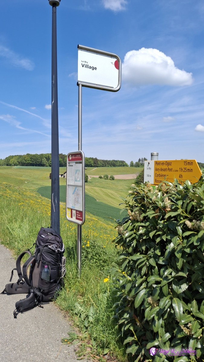 ◈ Le Bry, Pont-en-Ogoz, Le Bry (Δ 786m), 2026/05/02 14:13  ◈ Pont-en-Ogoz, Le Bry (Δ 784m), 2026/05/02 14:14 Summer at early May, low water line at Lukmanier before, and now seeing Lac de la Gruyeres - much rain is missing which otherwise falls in April in Switzerland. Content:
|