"You are not a human being having a spiritual experience, but a spiritual being having a human experience."Pierre Teilhard de Chardin
1881-1955
|
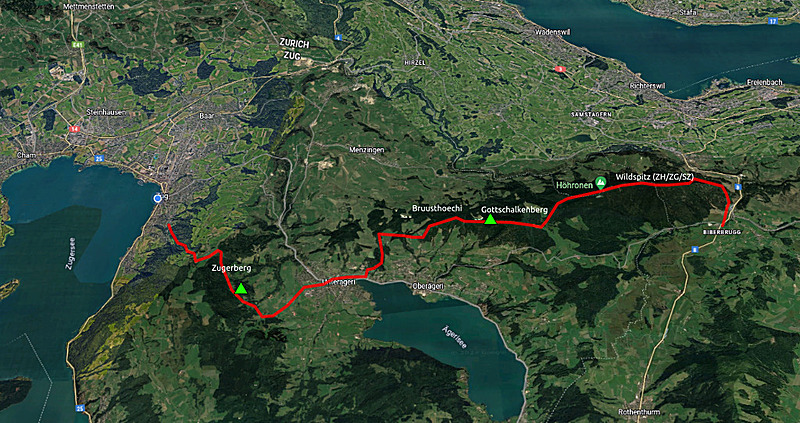
 2/3 Days Hike: Biberegg - Unteraegeri - Zug |
A brief window with stable weather came to be, and I decided to hike close where I live. The previous week there were heavy rainfall at various regions of Switzerland, also a place I was hiking last year in December in Missox valley, even close where I camped once a stone/earth avalance pushed and destroyed various houses and damaged the highway nearby  - so,
"heavy rainfall" indeed means it can move large amount of earth and stones to just push away whatever is in the way.
Usually in summer a high pressure system forms above central Europe, bring stable warm or even hot weather - this has not been the case yet, so quite volatile weather through June yet. - so,
"heavy rainfall" indeed means it can move large amount of earth and stones to just push away whatever is in the way.
Usually in summer a high pressure system forms above central Europe, bring stable warm or even hot weather - this has not been the case yet, so quite volatile weather through June yet.
Some distances:
- Biberbrugg - Dreilaenderstein 1h 50m
- Biberbrugg - Huetten 3h 30m
- Biberbrugg - Rothenturm 3h
- Biberbrugg - Raten 2h 25m
- Biberbrugg - Gottschalkenberg 3h
- Biberbrugg - Chlausenchaeppeli 2h 40m
- Biberbrugg - Oberaegeri 4h 30m
Starting at Biberbrugg trainstation 12:20, and brief but steep ascend from 828m to 1200m of Wildspitz (ZH/ZG/SZ) through the forst, and then along the ridge around 1100m further,
until changing to the next ridge of Gottschalkenberg - in between brief rain from dark clouds rushing over the ridge - and close to Mangelhoehe I find a nice spot (a place I revisit everytime I hiking in this region).
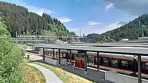 ◈ Biberbrugg, Feusisberg, 2024/06/27 12:22 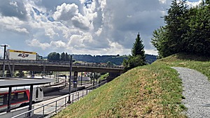 ◈ Biberbrugg, Feusisberg, 2024/06/27 12:22 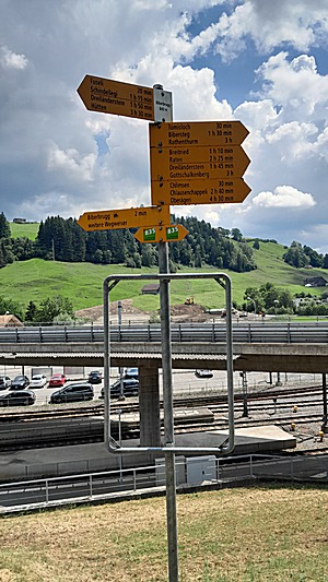 ◈ Biberbrugg, Biberbrugg, Feusisberg, 2024/06/27 12:23 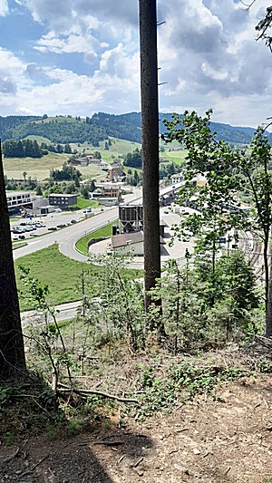 ◈ Biberbrugg, Feusisberg, 2024/06/27 12:32 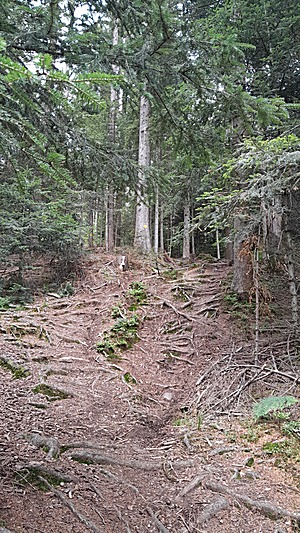 ◈ Chlimsen, Biberbrugg, Feusisberg, 2024/06/27 12:47 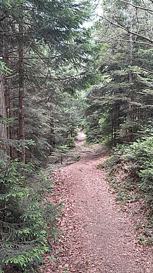 ◈ Biberbrugg, Schindellegi, 2024/06/27 13:00 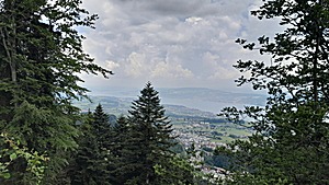 ◈ Schindellegi, 2024/06/27 13:03 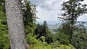 ◈ Schindellegi, 2024/06/27 13:03 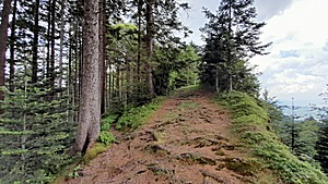 ◈ Schindellegi, 2024/06/27 13:05  ◈ Tomisloch-Höchi, Schindellegi, 2024/06/27 13:34 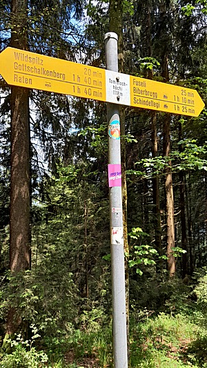 ◈ Schindellegi, 2024/06/27 13:35 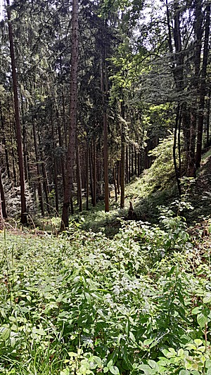 ◈ Schindellegi, 2024/06/27 13:35  ◈ Schindellegi, 2024/06/27 13:35 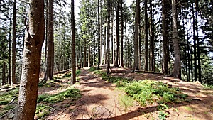 ◈ Schindellegi, 2024/06/27 13:40 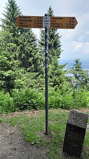 2024/06/27 14:00 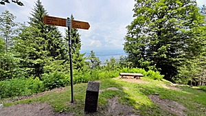 2024/06/27 14:01 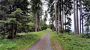 ◈ Hütten, 2024/06/27 14:15 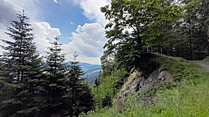 ◈ Hütten, 2024/06/27 14:20 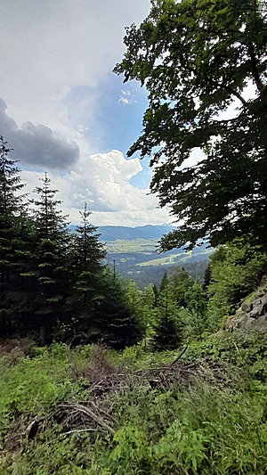 ◈ Hütten, 2024/06/27 14:20 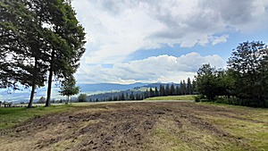 ◈ Oberägeri, 2024/06/27 14:51 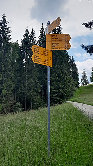 ◈ Oberägeri, 2024/06/27 14:56 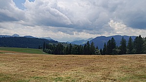 ◈ Oberägeri, 2024/06/27 15:03 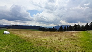 ◈ Oberägeri, 2024/06/27 15:03 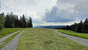 ◈ Oberägeri, 2024/06/27 15:10 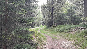 ◈ Menzingen, 2024/06/27 15:25 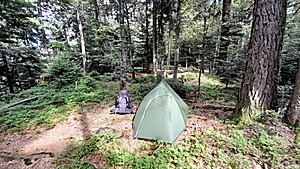 ◈ Finstersee, 2024/06/27 15:58 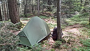 ◈ Finstersee, 2024/06/27 15:59
Some distances:
- Mangelihoehe - Menzingen 1h 25m
- Mangelihoehe - Gubel 1h 10m
- Mangelihoehe - Unteraegeri 1h 20m
Long & good sleep, and leaving late 9:30, descending nicely to Unteraegeri with a broad view to the valley and the lake of Aegeri, and then leaving the village to direction of Zugerberg, and still on the eastern slope I find a place in the shadow of the forest for tonight - already pitching the tent 14:00.
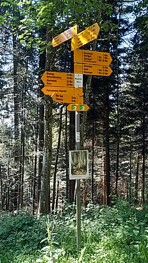 2024/06/28 10:42 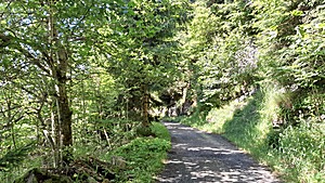 ◈ Finstersee, 2024/06/28 10:43 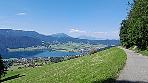 ◈ Oberägeri, 2024/06/28 10:46 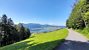 ◈ Bruustweid, Finstersee, 2024/06/28 10:46 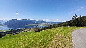 ◈ Bruhsthöchi, Alosen, 2024/06/28 10:48 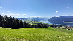 ◈ Bruhsthöchi, Alosen, 2024/06/28 10:48 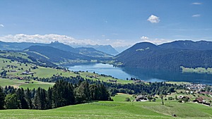 ◈ Bruhsthöchi, Alosen, 2024/06/28 10:48 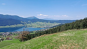 ◈ Bruhsthöchi, Alosen, 2024/06/28 10:48 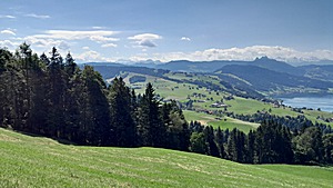 ◈ Bruhsthöchi, Alosen, 2024/06/28 10:48 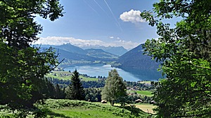 ◈ Grund, Oberägeri, 2024/06/28 11:00 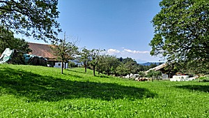 ◈ Oberägeri, 2024/06/28 11:18 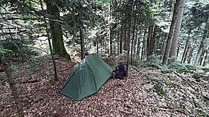 ◈ Sibrisboden, Unterägeri, 2024/06/28 13:56
Long & deep sleep, and awake 6:00 and leaving the site 7:00 - brief ascend to the Saetteli (Zugerberg) and then further to the cable car station.
Some distances:
- Zugerberg - Zug 1h 25m
- Zugerberg - Alpli 2h 20m
- Zugerberg - Wildspitz (ZG/SZ) 3h 25m *)
- Zugerberg - Steinerberg 4h 10m
- Zugerberg - Goldau 3h 50m
- Zugerberg - Arth 3h 25m
- Zugerberg - Baar 2h 45m
- Zugerberg - Menzingen 2h 20m
*) there are two "Wildspitz", one smaller one resides (1206m) at Canton ZH, ZG, SZ border, and more prominent one (1580m) border Canton ZG and SZ.
And then descending to Schoenegg where I meet with an early jogger and exchange some hiking experiences - at Schoenegg the hike ends.
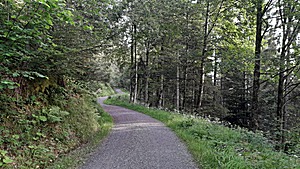 2024/06/29 07:23 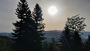 2024/06/29 07:31 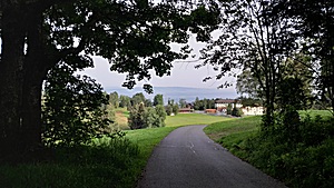 2024/06/29 07:34 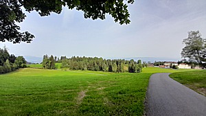 2024/06/29 07:34 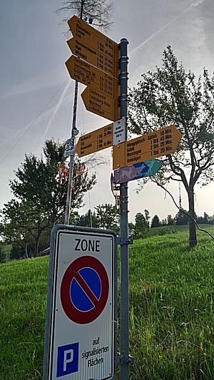 2024/06/29 07:38 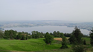 2024/06/29 07:45 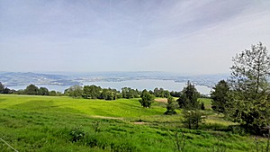 2024/06/29 07:45 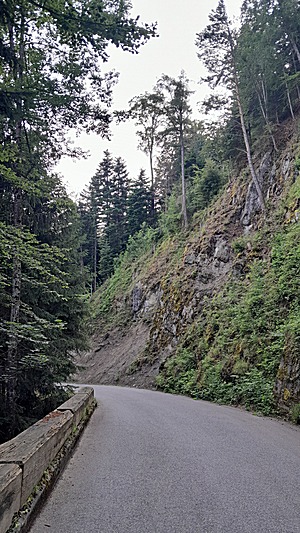 ◈ Schönegg, Oberwil, 2024/06/29 08:11
That's it.
PS: As the weather became more volatile - this is why I ended the hike before the weekend - again heavy rain in Valais and Ticino  (2024/06/29) with flooding & earth avalanches damaging houses and bridges, the Maggia valley where I was hiking just in April this year.
It's incredible how a thunderstorm & heavy rain can impact a valley in just 24 hours. (2024/06/29) with flooding & earth avalanches damaging houses and bridges, the Maggia valley where I was hiking just in April this year.
It's incredible how a thunderstorm & heavy rain can impact a valley in just 24 hours.
Next Page >>
Content: - Page 1: Highlights, 2 Days Hike March 2024: Dintikon - Wohlen - Knonau, Saturday 2024/03/02: Dintikon - Wohlen ...
- Page 2: 2/3 Days Hike March 2024: Olivone - Biasca, Friday 2024/03/15: Olivone - Motto, Saturday 2024/03/16: Motto - Loderio ...
- Page 3: 3 Days Hike April 2024: San Carlo (Val Bavona) - Maggia - Tegna, Friday 2024/04/12: San Carlo (Val Bavona) - Bignasco ...
- Page 4: 2 Days Hike April 2024: Leibstadt - Baden, Saturday 2024/04/27: Leibstadt - Untersiggenthal ...
- Page 5: 3 Days Hike May 2024: Tamins - Kunkelspass - Taminaschlucht - Bad Ragaz, Friday 2024/05/10: Tamins - Kunkelspass ...
- Page 6: 2 Days Hike May 2024: Schmidrueti ZH - Roten - Chruezegg - Ricken SG, Saturday 2024/05/18: Schmidrueti ZH - Roten ...
- Page 7: 2 Days Hike June 2024: Bisisthal - Muotathal - Schwyz, Thursday 2024/06/13: Bisisthal - Muotathal ...
- Page 8: 2/3 Days Hike June 2024: Biberbrugg - Unteraegeri - Zug , Thursday 2024/06/27: Biberbrugg - Gottschalkenberg ...
- Page 9: 2/3 Days Hike July 2024: Glaubenberg - Finsterwald - Wolhusen, Thursday 2024/07/25: Glaubenberg - Rickhubel - Toregg/Schimberig ...
- Page 10: 5 Days Hike August 2024: Bedretto Valley, Thursday 2024/08/08: St. Gotthard Pass - Alpe di Ruino ...
- Page 11: 5 Days Hike August 2024: Grisons, Tuesday 2024/08/20: Ofenpass / Pass dal Fuorn - S-charl ...
- Page 12: 4 Days Hike August 2024: Bernina & Albula, Friday 2024/08/30: Passo del Bernina - Bernina Suot ...
- Page 13: 2/3 Days Hike September 2024: Napf, Friday 2024/09/20: Trubschachen, Saturday 2024/09/21: Trubschachen - Napf ...
- Page 14: 2 Days Hike October 2024: Ilanz - Chur, Tuesday 2024/10/15: Ilanz - Trin, Tuesday 2024/10/16: Trin - Chur ...
- Page 15: 3 Days Hike October 2024: Goms / Oberwallis, Monday 2024/10/28: Oberwald - Biel, Tuesday 2024/10/29: Biel - Bister ...
|


