
|
"For to be free is not merely to cast off one's chains, but to live in a way that respects and enhances the freedom of others."
Nelson Mandela |
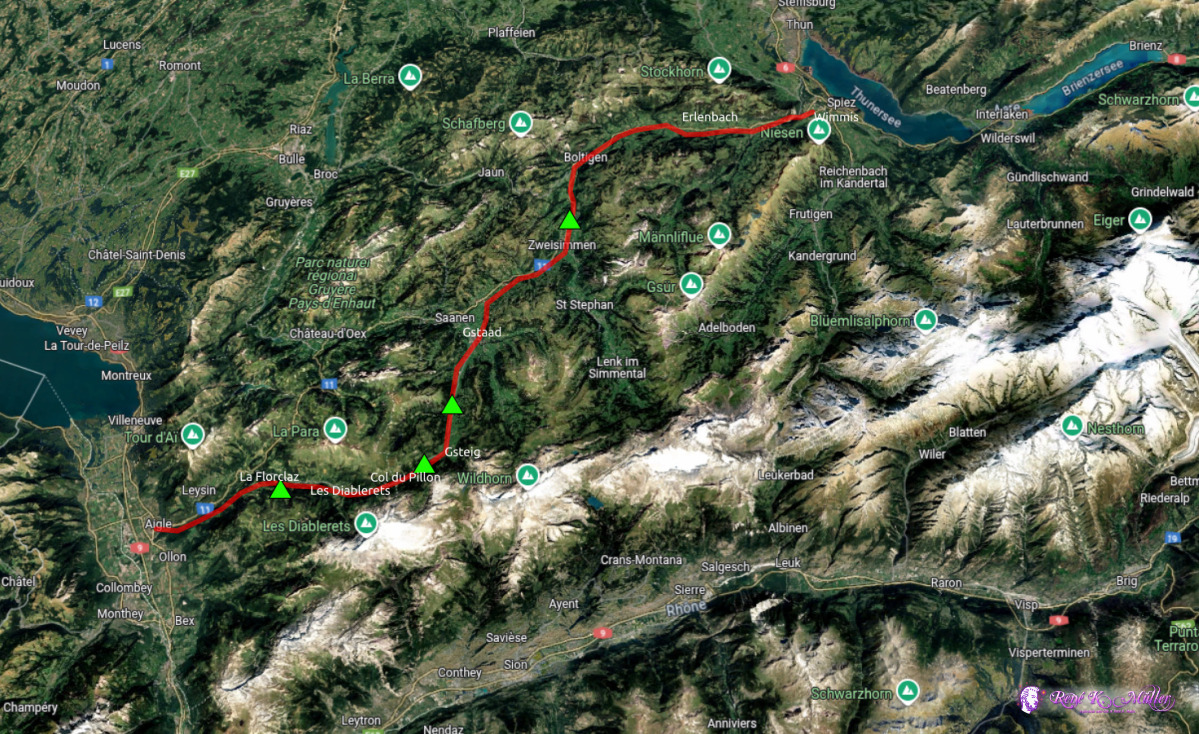
Page << Prev | 1 | 2 | 3 | 4 | 5 | 6 | 7 | 8 | 9 | 10 | 11 | 12 | 13 | 14 | 15 | 16 | 17 | 18 | 19 | Next >> 2025: Various Hikes / Tours5 Days Hike June 2025: Aigle - Col du Pillon - Simmental - Wimmis
So far I did not hike a lot in the western part of Switzerland, e.g. the south west, and thought to hike a low pass of Col du Pillon (1540m) connecting the french speaking part (canton Vaud) with the swiss german part (canton Bern) down the Simmental. Tuesday 2025/06/10: Aigle - La ForclazArriving in Aigle by train ~12:45 (via Lucerne, Bern, Vevey).Some distances:
Passing through Aigle and pass the castle - the sky is hazy, yet, it's actually the forest fire smoke from Canada which traversed over the atlantic. Eventually reach La Forclaz, a very idyllic small village, and a bit outside I find a nice spot for tonight. 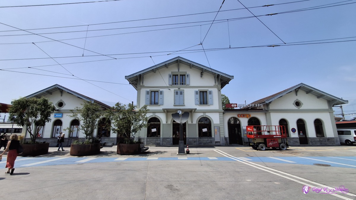 ◈ La Chapelle, Aigle (Δ 449m), 2025/06/10 12:47 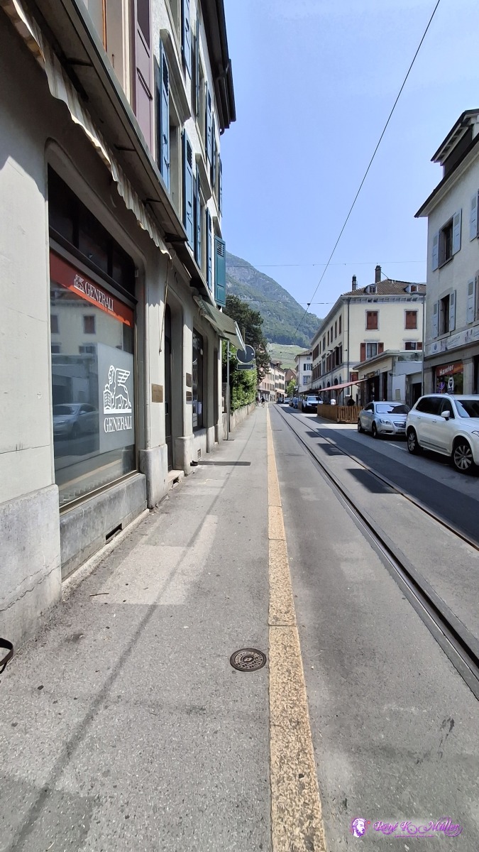 ◈ La Fontaine, Aigle (Δ 465m), 2025/06/10 12:50 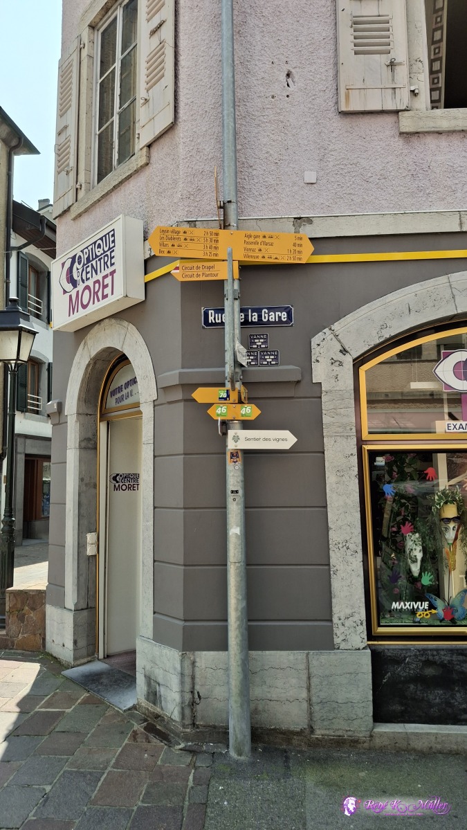 ◈ La Fontaine, Aigle (Δ 472m), 2025/06/10 12:52 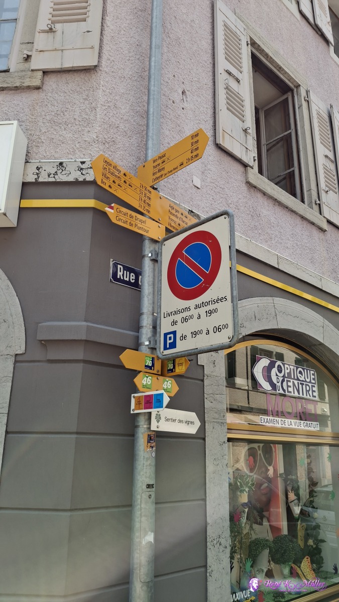 ◈ La Fontaine, Aigle (Δ 472m), 2025/06/10 12:52 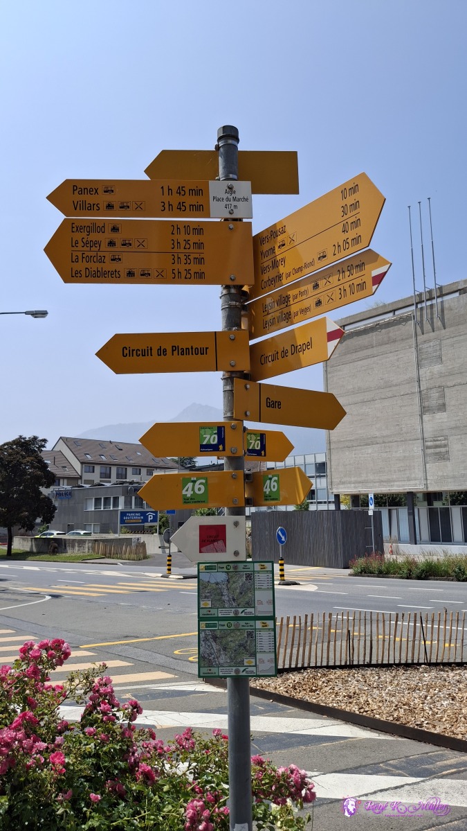 ◈ Aigle (Δ 462m), 2025/06/10 12:54 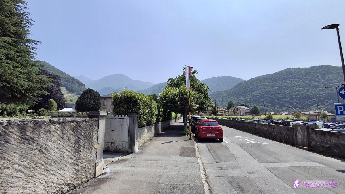 ◈ La Fontaine, Aigle (Δ 466m), 2025/06/10 12:55 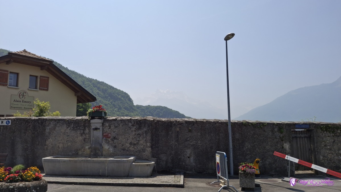 ◈ Le Cloître, Aigle (Δ 465m), 2025/06/10 12:57 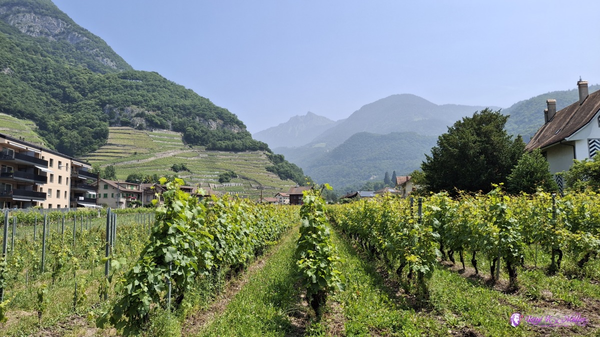 ◈ La Chapelle, Drapel, Aigle (Δ 462m), 2025/06/10 12:58 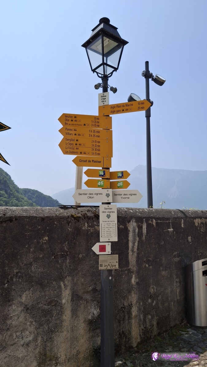 ◈ La Chapelle, Drapel, Aigle (Δ 494m), 2025/06/10 13:11 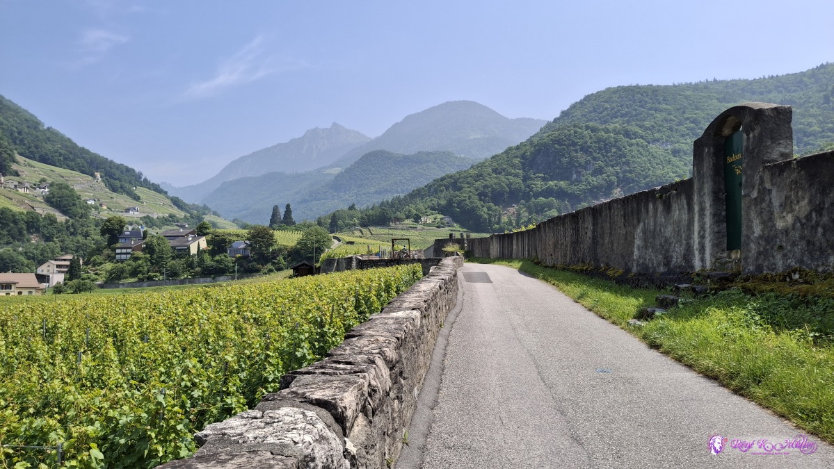 ◈ La Chapelle, Drapel, Aigle (Δ 494m), 2025/06/10 13:13 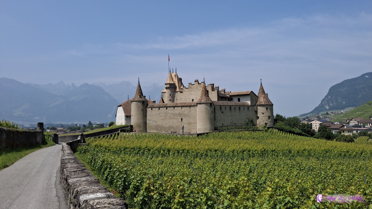 ◈ La Chapelle, Drapel, Aigle (Δ 493m), 2025/06/10 13:13 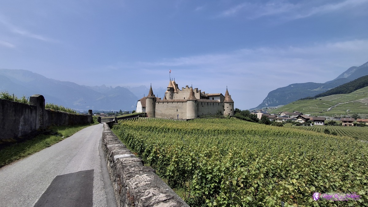 ◈ La Chapelle, Drapel, Aigle (Δ 494m), 2025/06/10 13:13 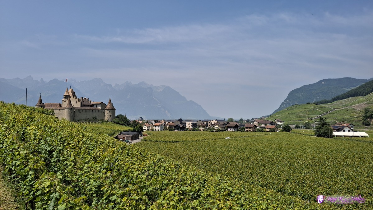 ◈ La Chapelle, Drapel, Aigle (Δ 493m), 2025/06/10 13:15 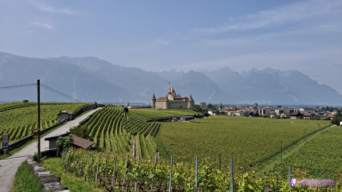 ◈ La Fontaine, Drapel, Aigle (Δ 502m), 2025/06/10 13:17  ◈ Fontanney, Aigle (Δ 571m), 2025/06/10 13:26  ◈ Fontanney, Aigle (Δ 533m), 2025/06/10 13:30 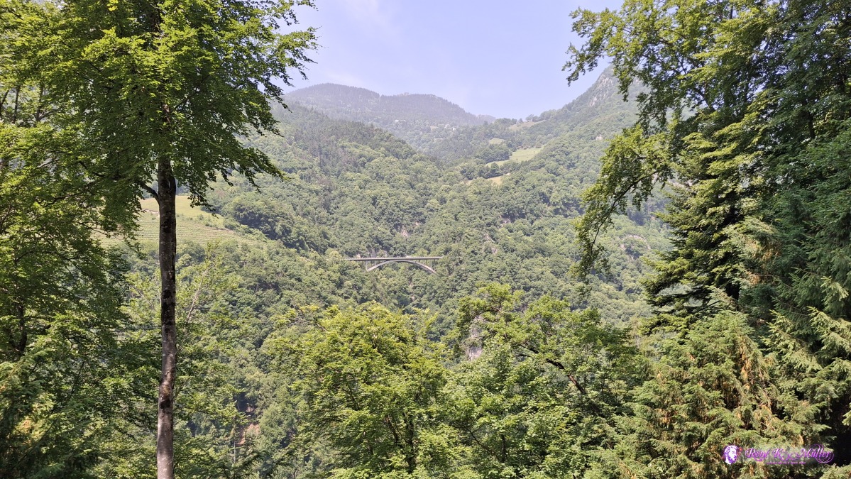 2025/06/10 13:48 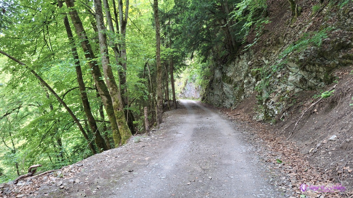 ◈ Refuge du Larrevoin, Aigle (Δ 672m), 2025/06/10 13:51 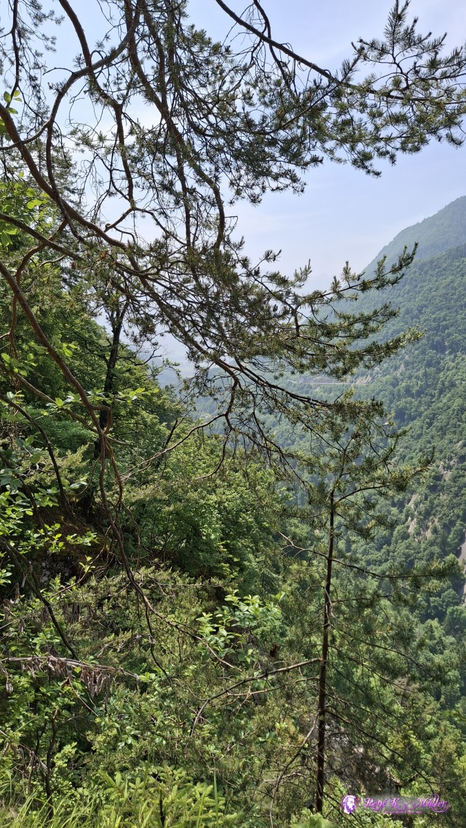 ◈ Sentier du Sel, Plambuit, Ollon (Δ 839m), 2025/06/10 14:21 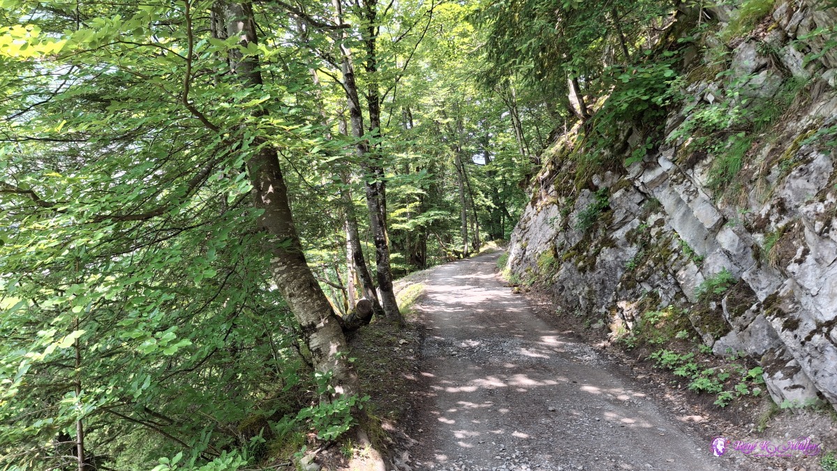 2025/06/10 14:23 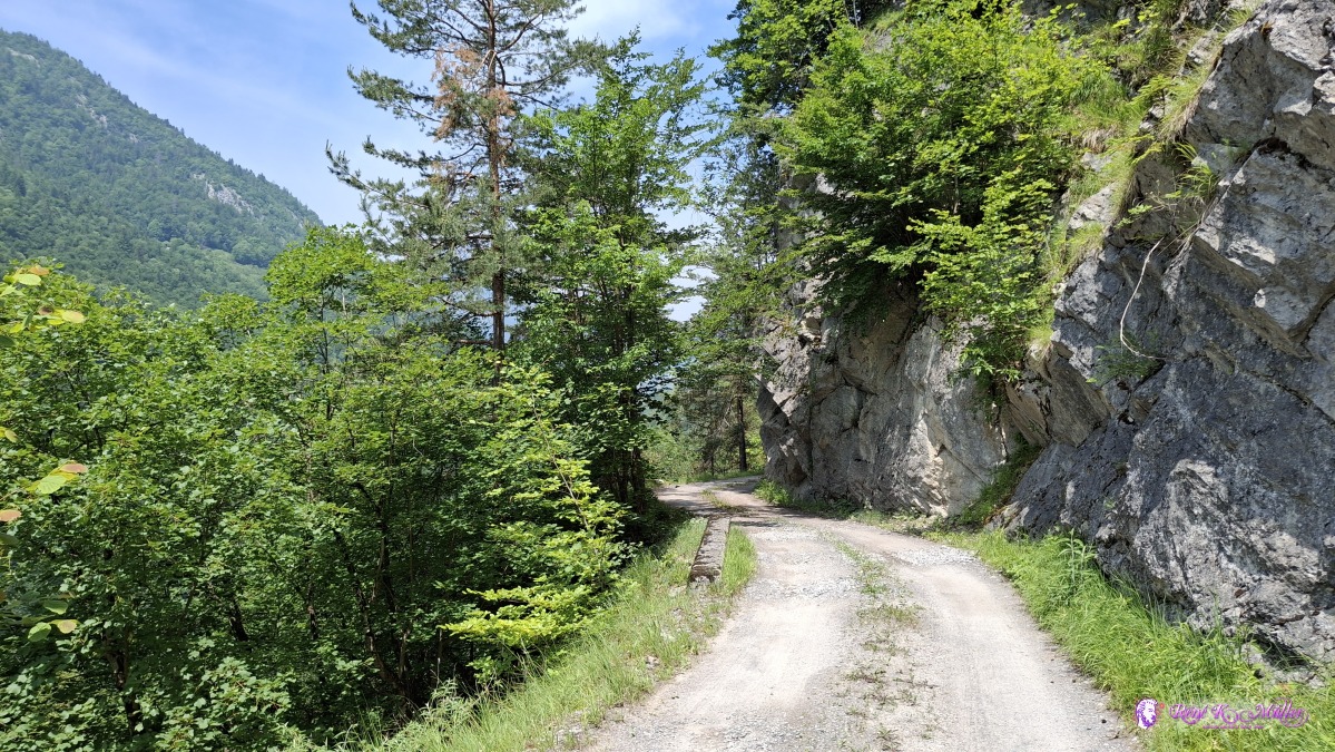 2025/06/10 14:30 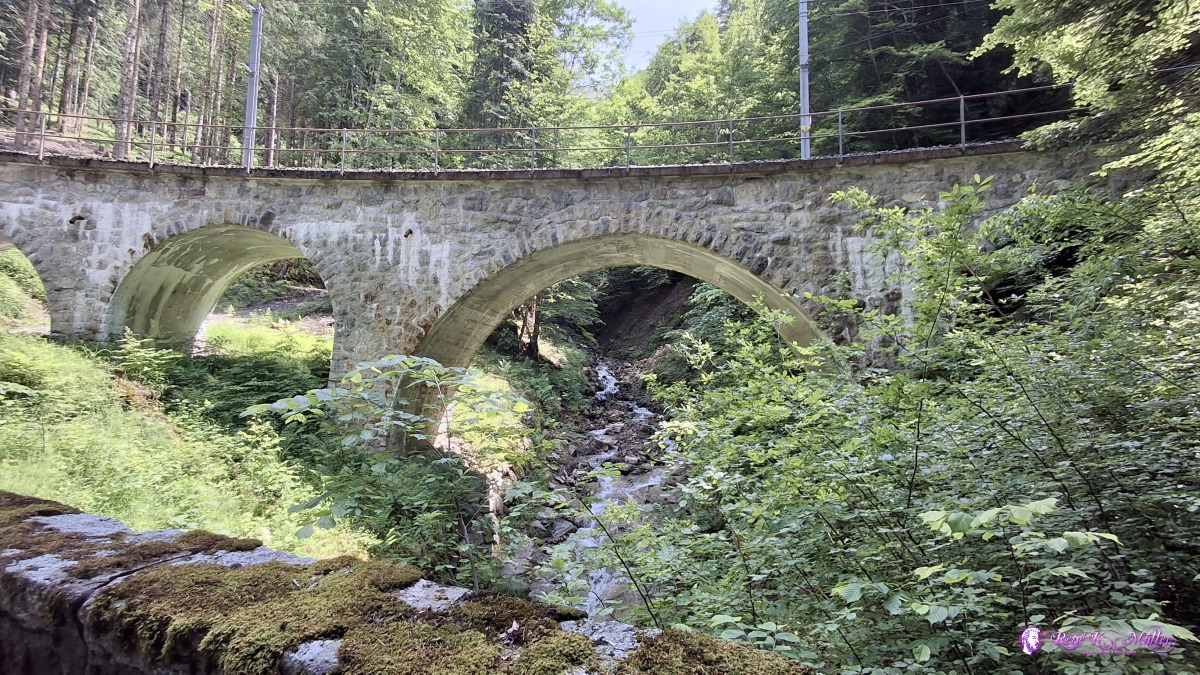 ◈ Exergillod, Ollon (Δ 860m), 2025/06/10 14:42 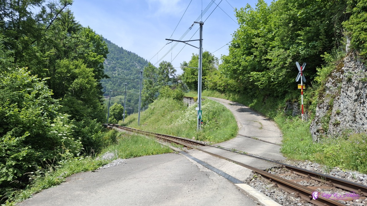 2025/06/10 14:49 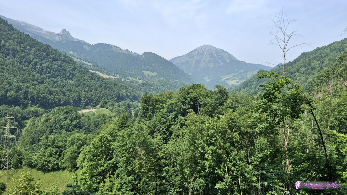 2025/06/10 14:56 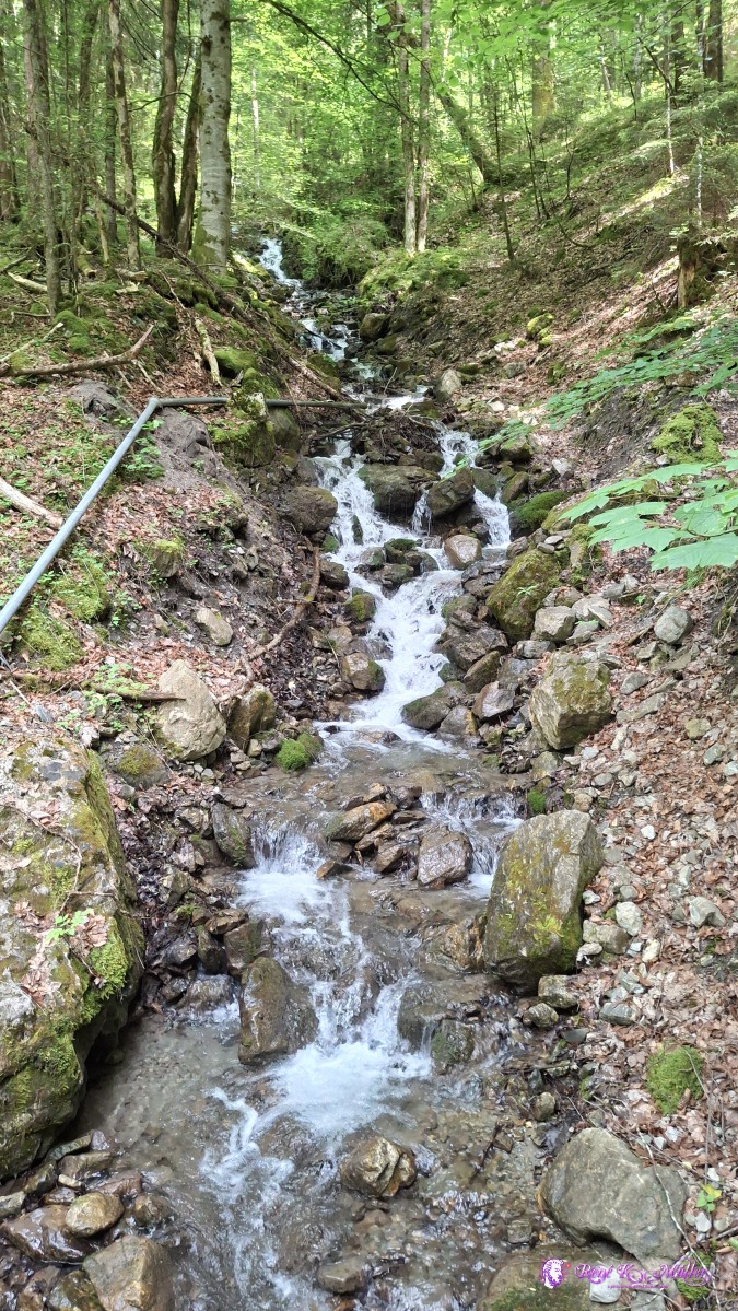 ◈ Exergillod, Ollon (Δ 1043m), 2025/06/10 15:10 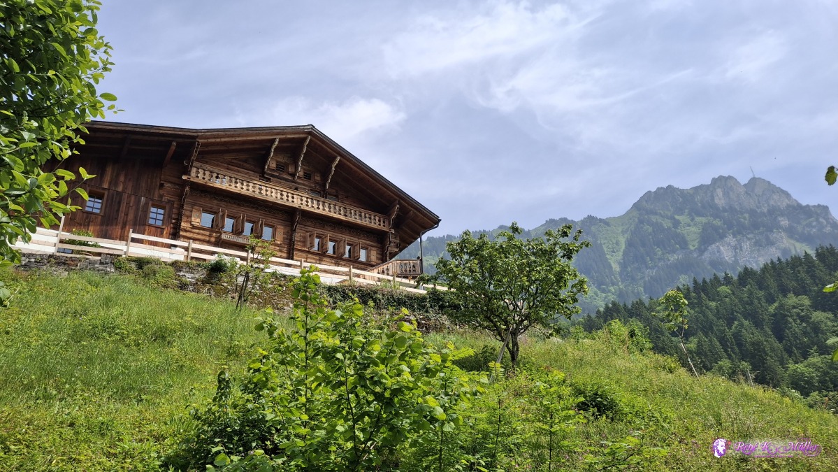 2025/06/10 15:23 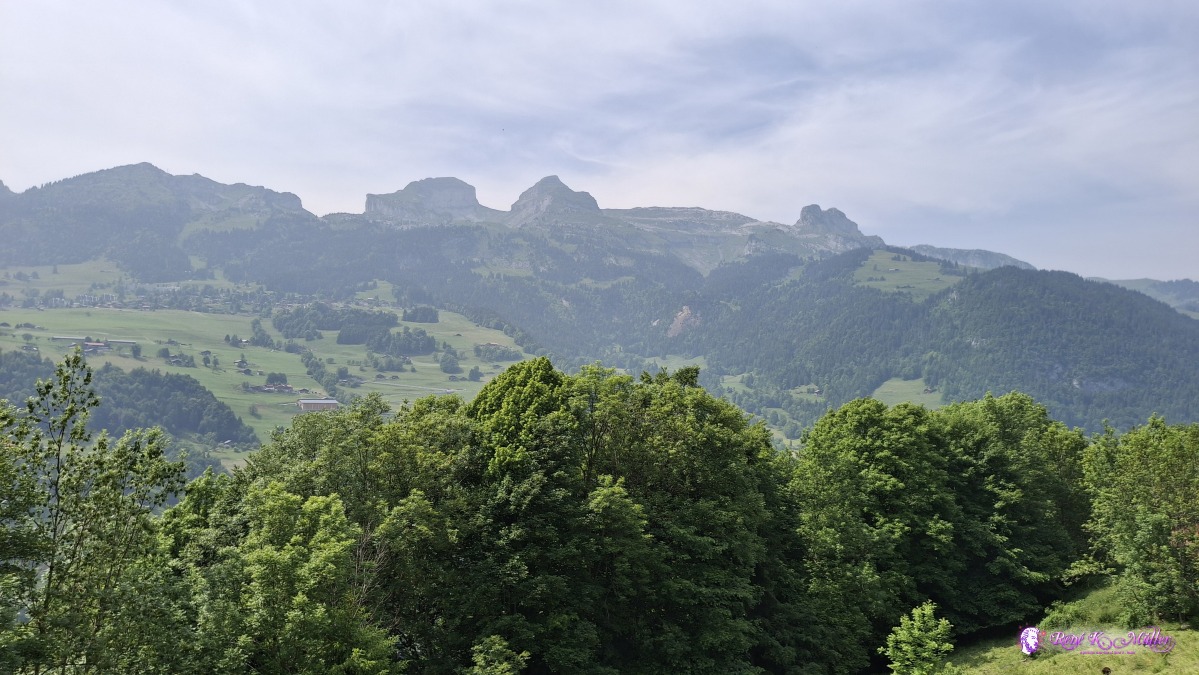 2025/06/10 15:31 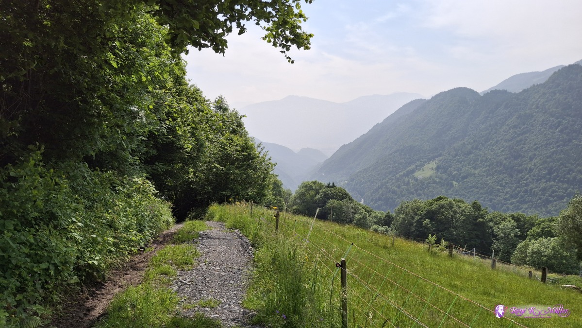 ◈ La Forclaz (Δ 1206m), 2025/06/10 15:37 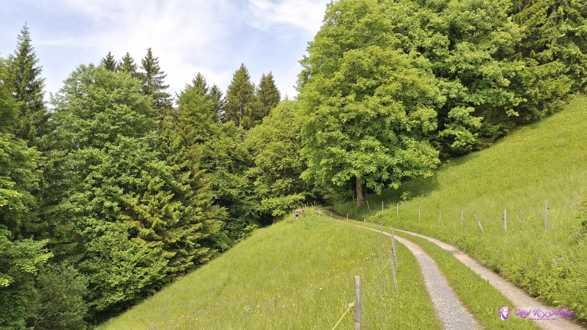 2025/06/10 15:47 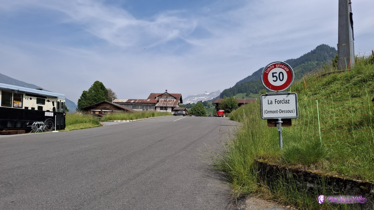 ◈ La Forclaz (Δ 1297m), 2025/06/10 15:58 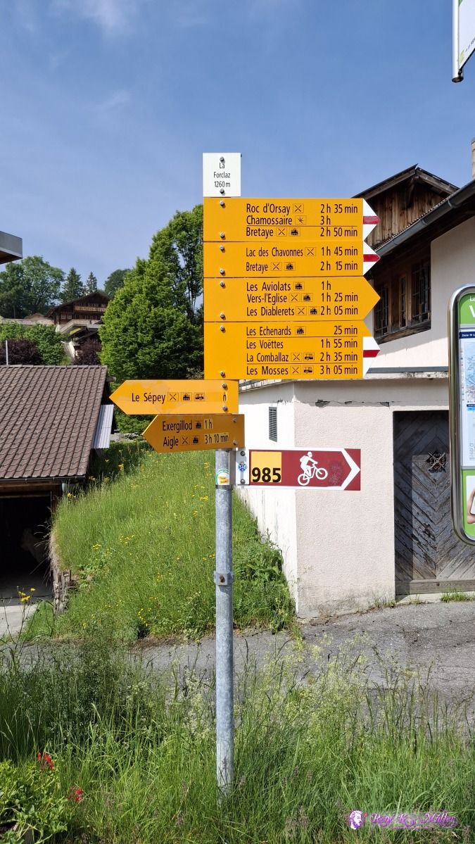 ◈ Le Forclaz, La Forclaz (Δ 1310m), 2025/06/10 16:00 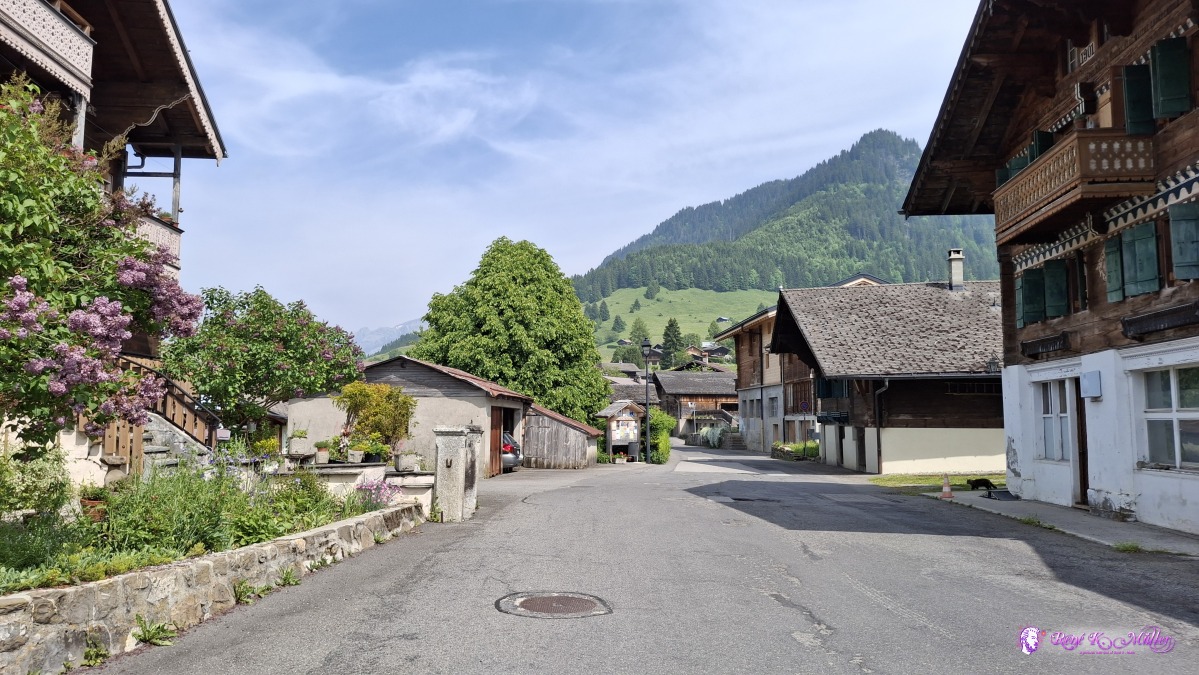 ◈ Le Forclaz, La Forclaz (Δ 1310m), 2025/06/10 16:01  ◈ La Forclaz (Δ 1304m), 2025/06/10 16:04 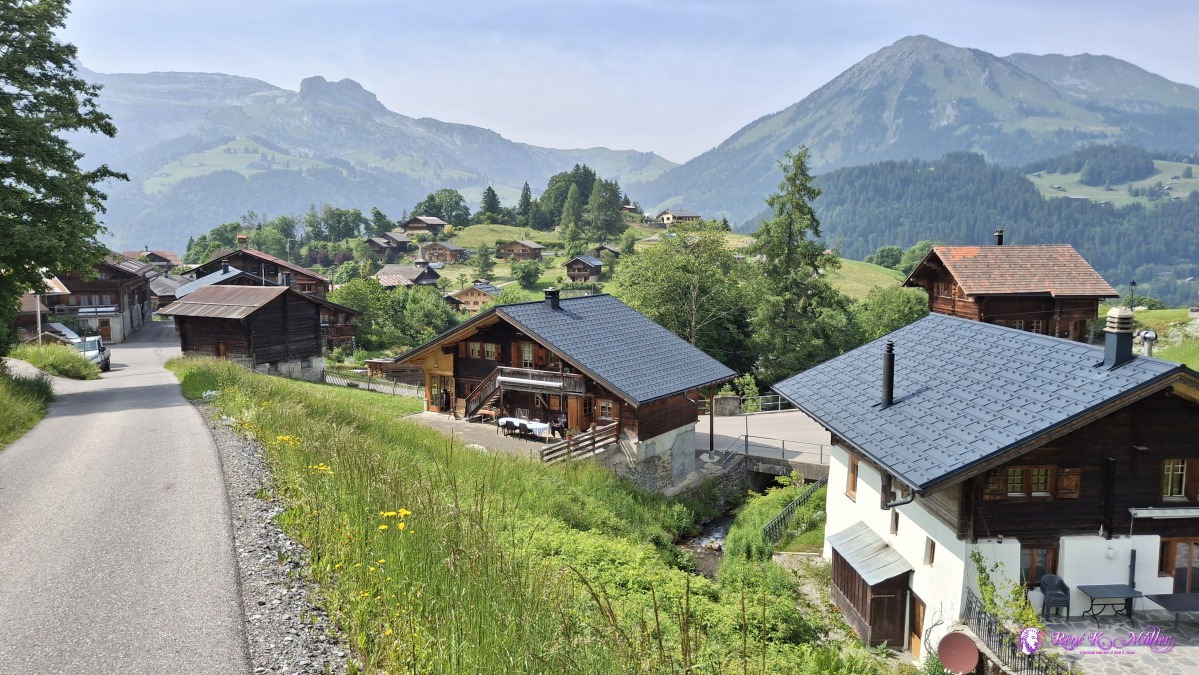 2025/06/10 16:10 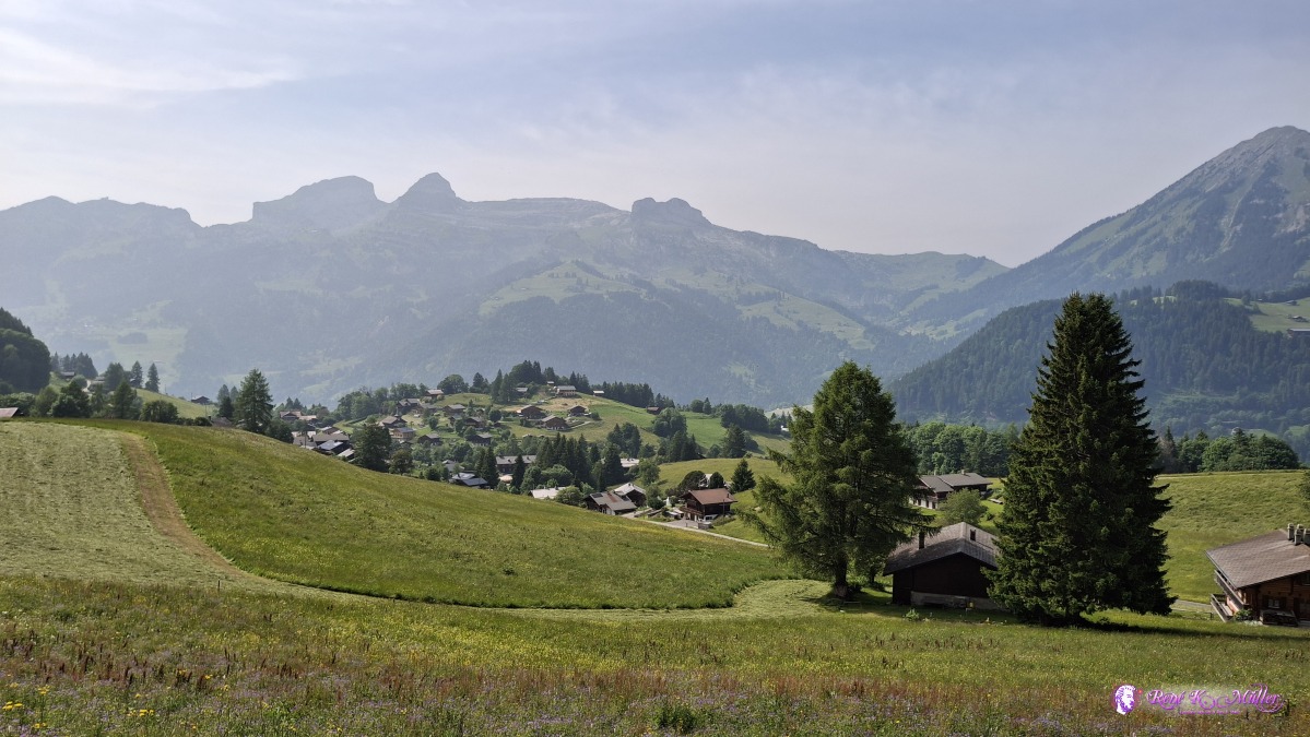 ◈ La Forclaz (Δ 1372m), 2025/06/10 16:19 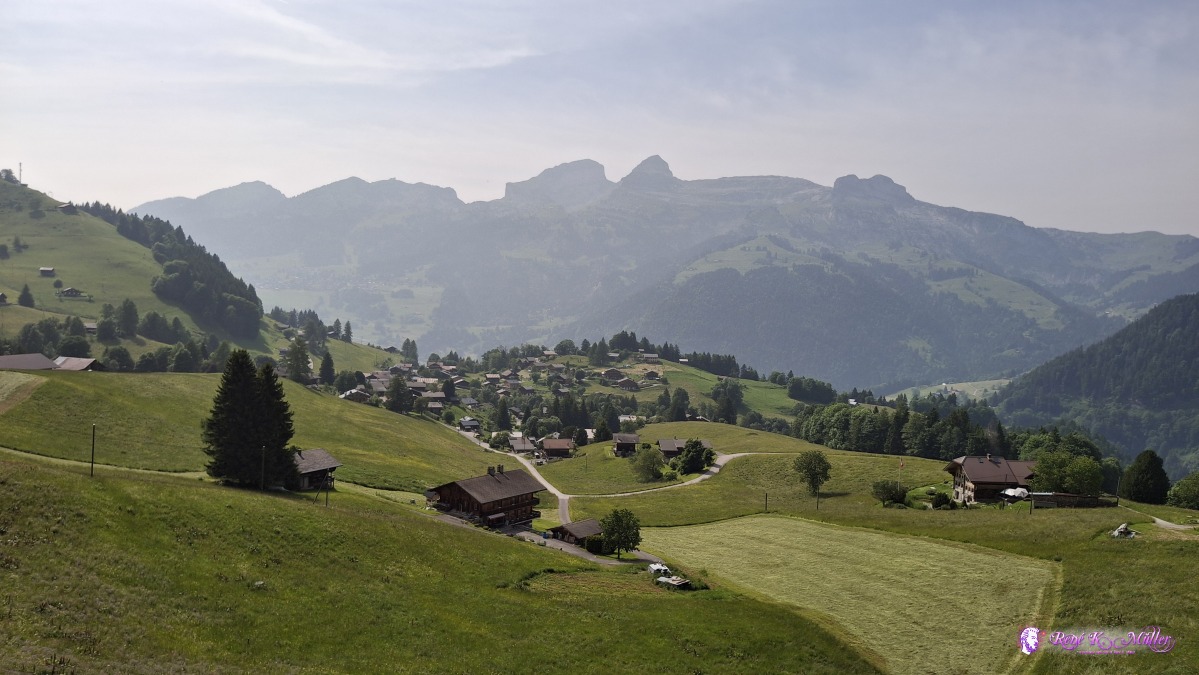 ◈ La Forclaz (Δ 1395m), 2025/06/10 16:22  ◈ La Forclaz (Δ 1436m), 2025/06/10 16:32 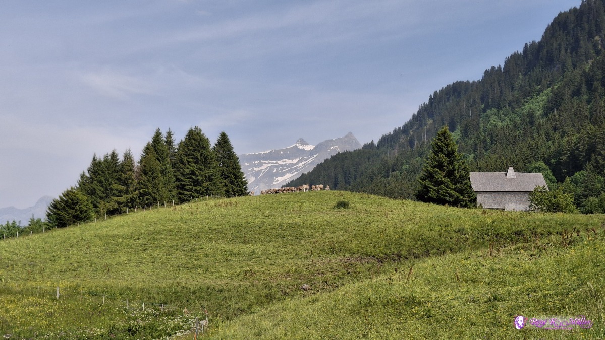 ◈ La Forclaz (Δ 1438m), 2025/06/10 16:32  ◈ La Forclaz (Δ 1458m), 2025/06/10 16:35 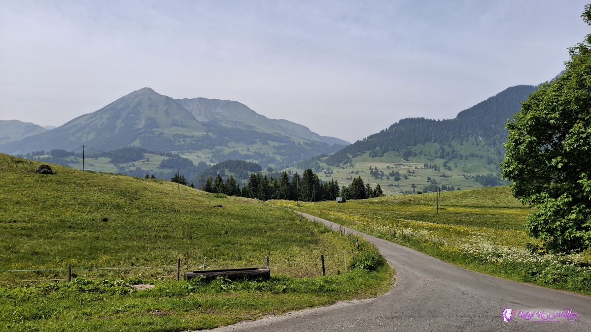 ◈ La Forclaz (Δ 1462m), 2025/06/10 16:37 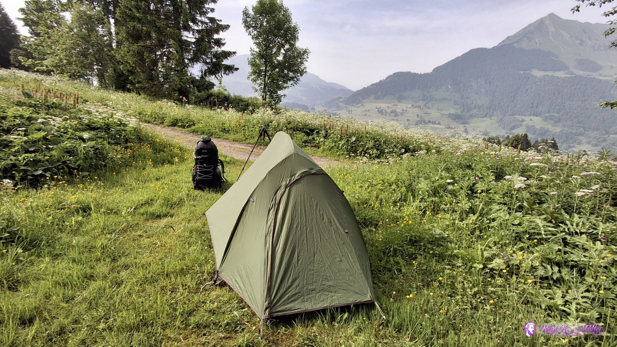 ◈ La Forclaz (Δ 1473m), 2025/06/10 18:06 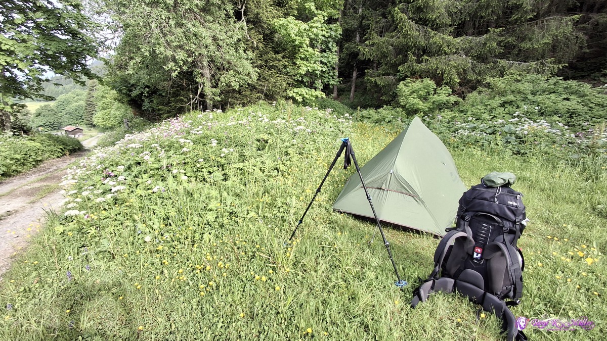 ◈ La Forclaz (Δ 1473m), 2025/06/10 18:06 Some distances:
Wednesday 2025/06/11: La Forclaz - GsteigLeaving 8:00, the sky is still hazy, along the slope I descend a bit into the village Les Diablerets, with the Les Diablerets mountain range behind - impressive scenery. Through the forest I ascend toward Col du Pillon, a small pass at 1546m altitude, and continue further - the forests are very dense and a lot of plants grow in the shade, a bit surprising - so I hike further for a more suitable place to pitch my tent, and before Ruesch I enter the forest through a empty river bed, until I reach the main river, where I find a nice spot. For the first time I use my water filter, and get some river water.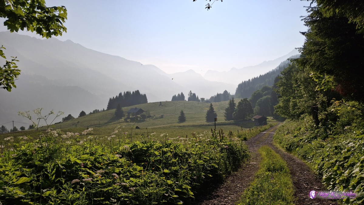 2025/06/11 08:07 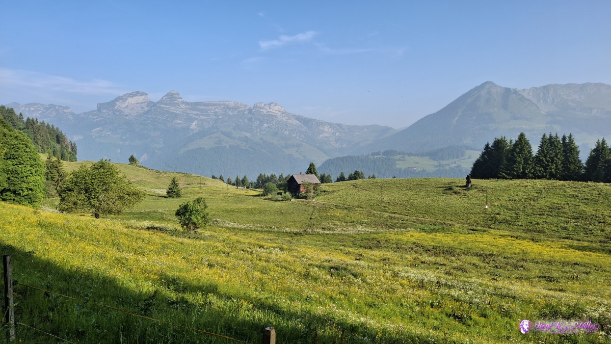 2025/06/11 08:13  2025/06/11 08:22 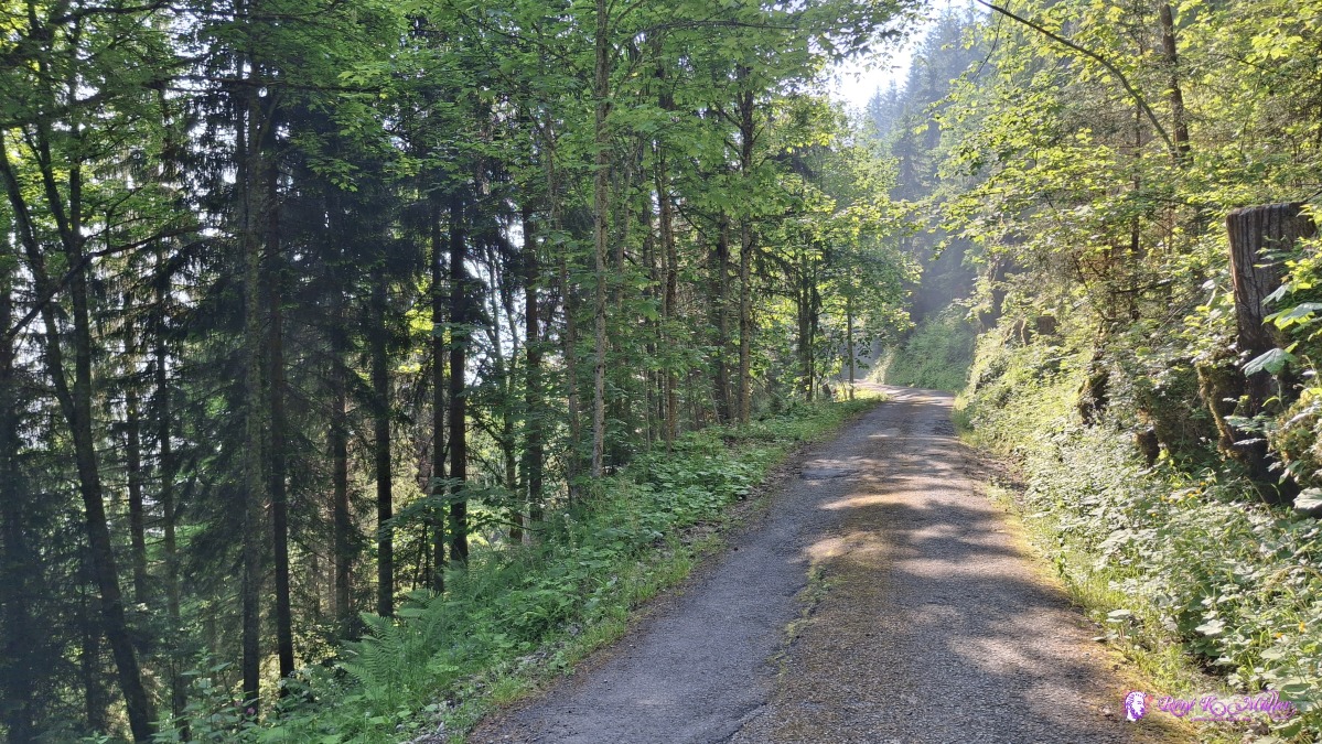 2025/06/11 08:22 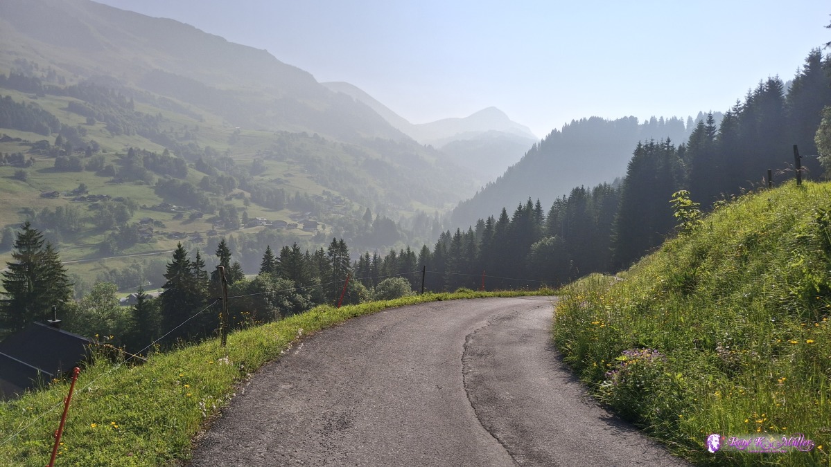 2025/06/11 09:03 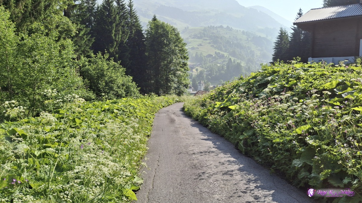 2025/06/11 09:08 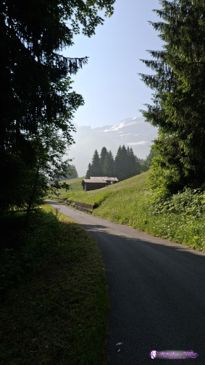 2025/06/11 09:30 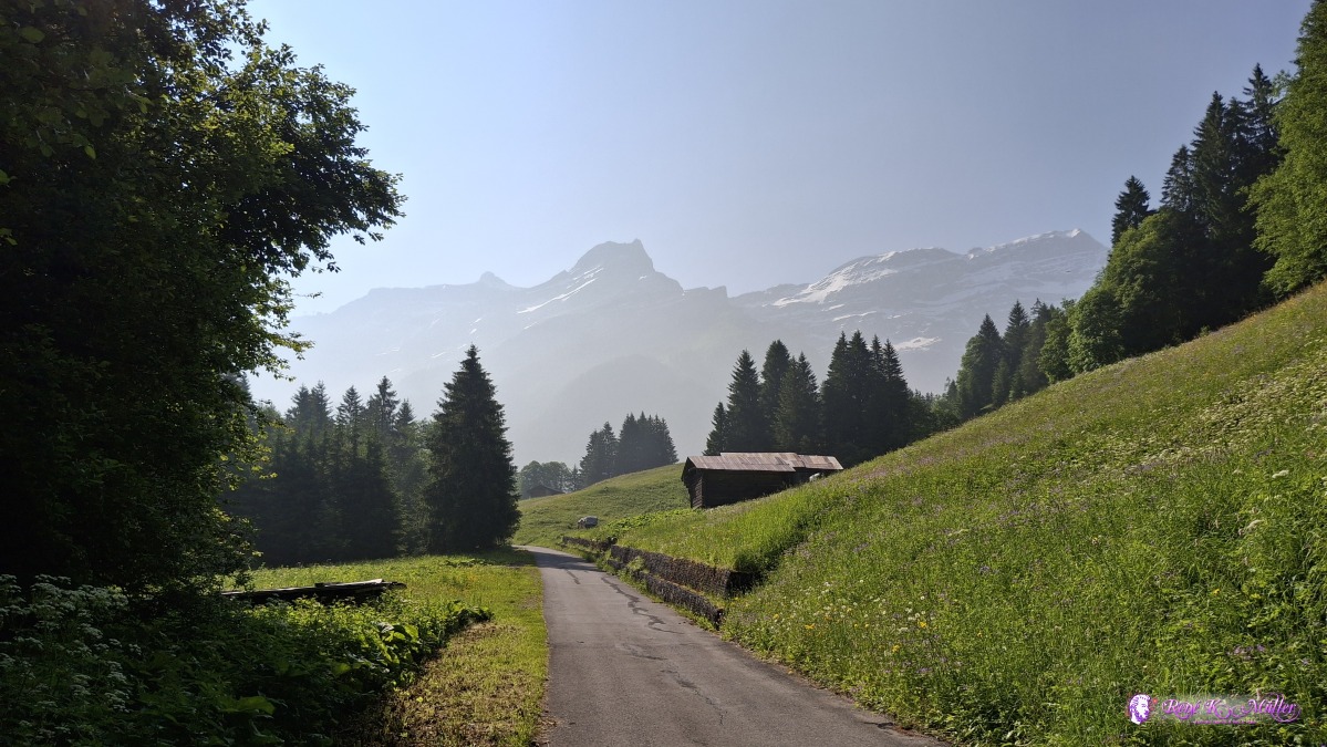 ◈ La Chia, Les Diablerets (Δ 1245m), 2025/06/11 09:30  ◈ Les Diablerets (Δ 1209m), 2025/06/11 09:41  ◈ Les Diablerets (Δ 1213m), 2025/06/11 09:42 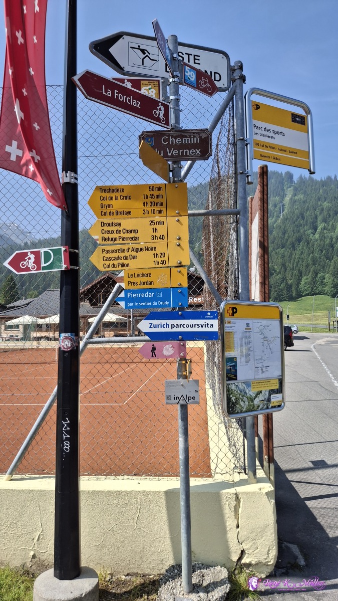 2025/06/11 10:22 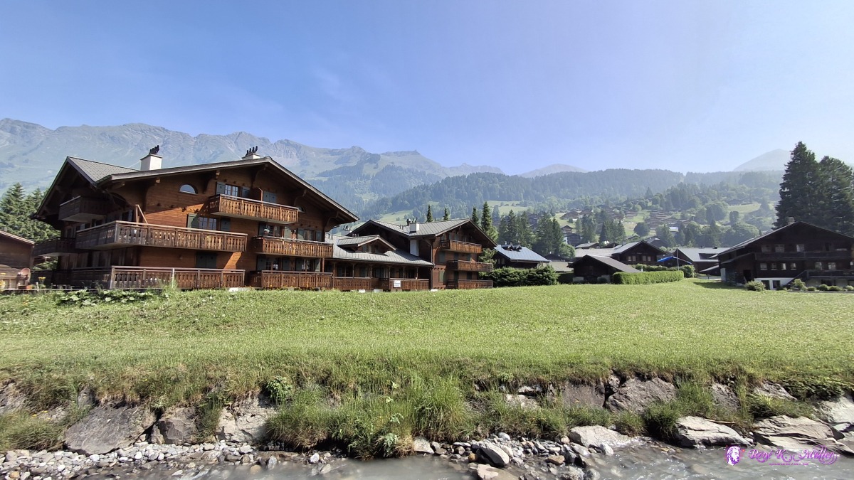 ◈ Les Diablerets (Δ 1222m), 2025/06/11 10:28 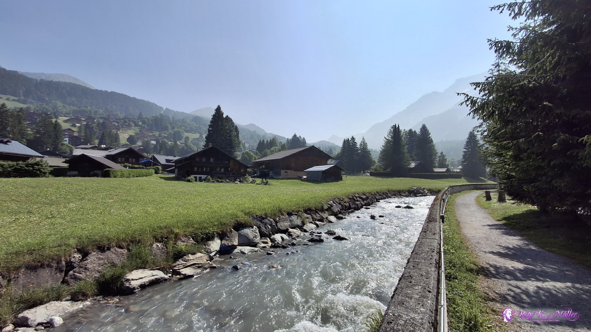 ◈ Les Diablerets (Δ 1222m), 2025/06/11 10:28 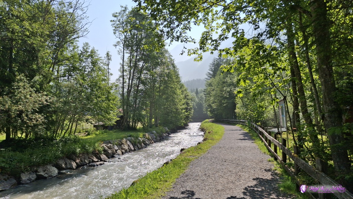 ◈ Les Diablerets (Δ 1212m), 2025/06/11 10:32 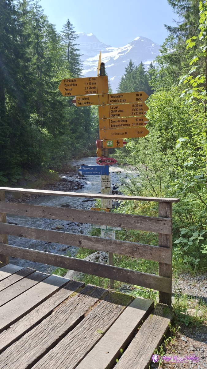 2025/06/11 10:36  ◈ Passerelle d'Aigue-Noire, Les Diablerets (Δ 1211m), 2025/06/11 10:37 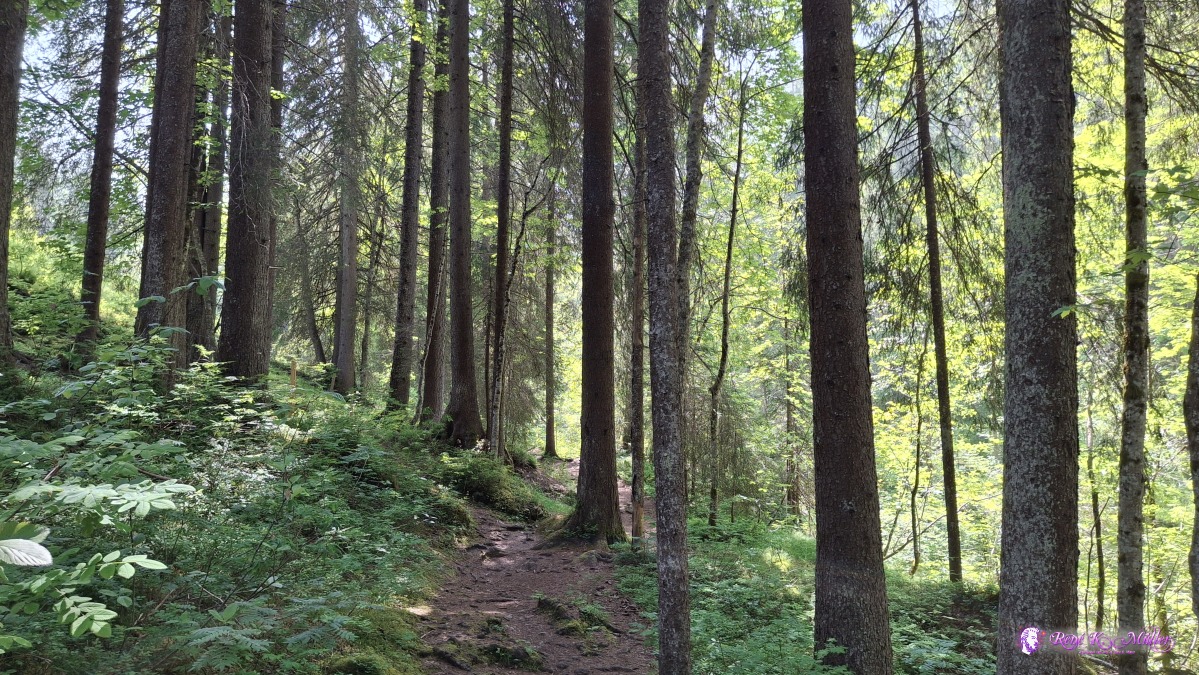 ◈ La Palanche, Ormont-Dessus (Δ 1341m), 2025/06/11 10:59 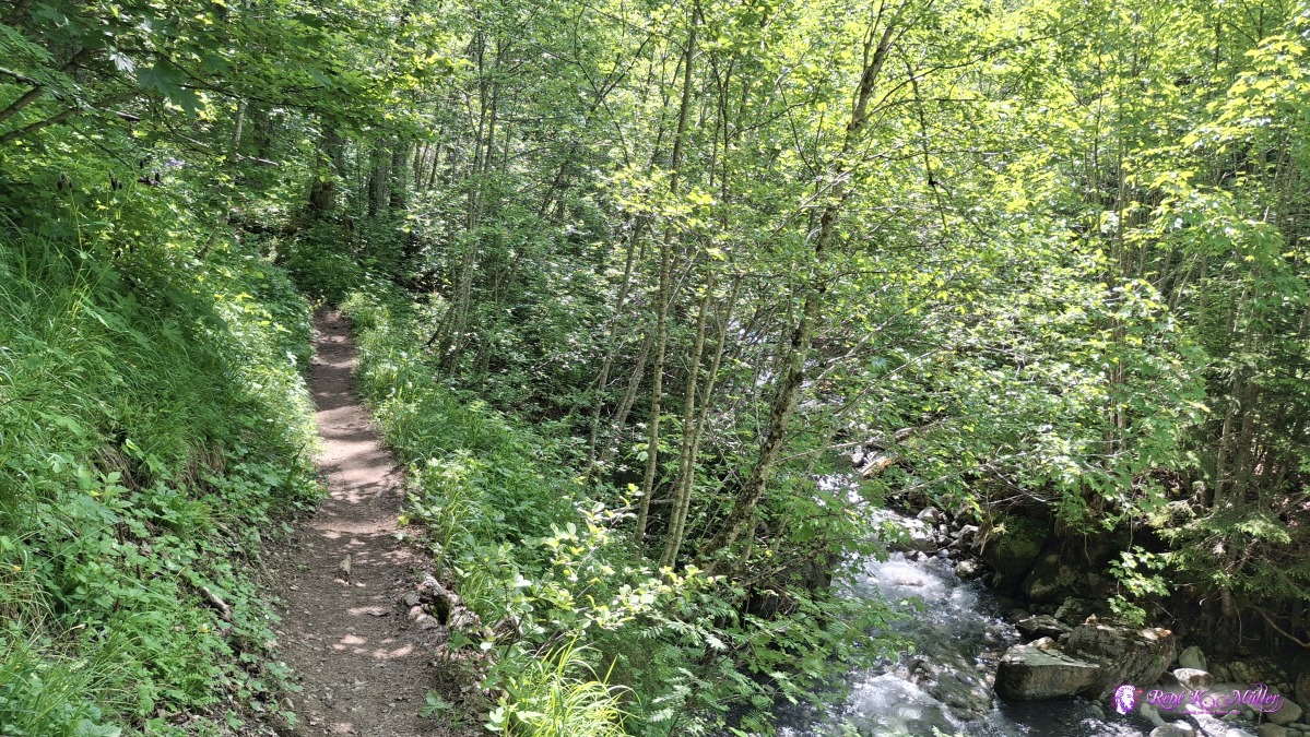 2025/06/11 11:10 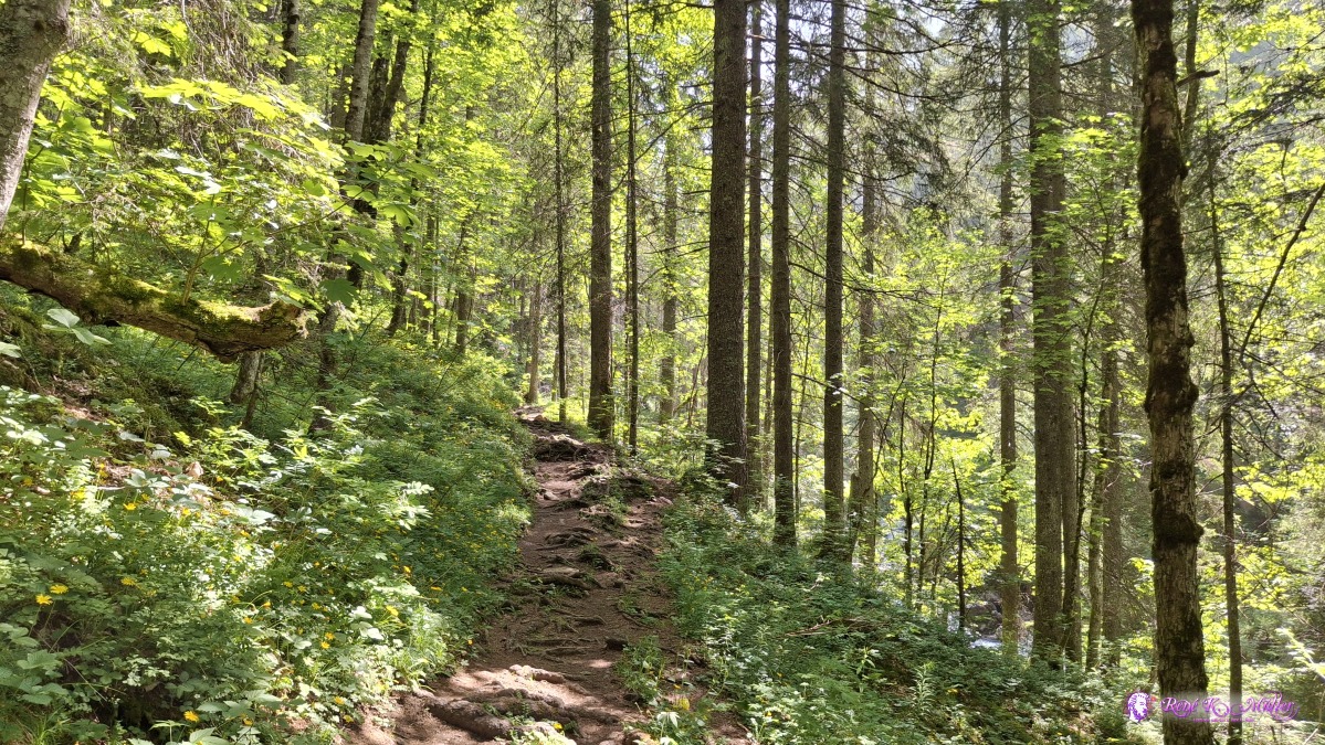 ◈ Ormont-Dessus (Δ 1352m), 2025/06/11 11:18 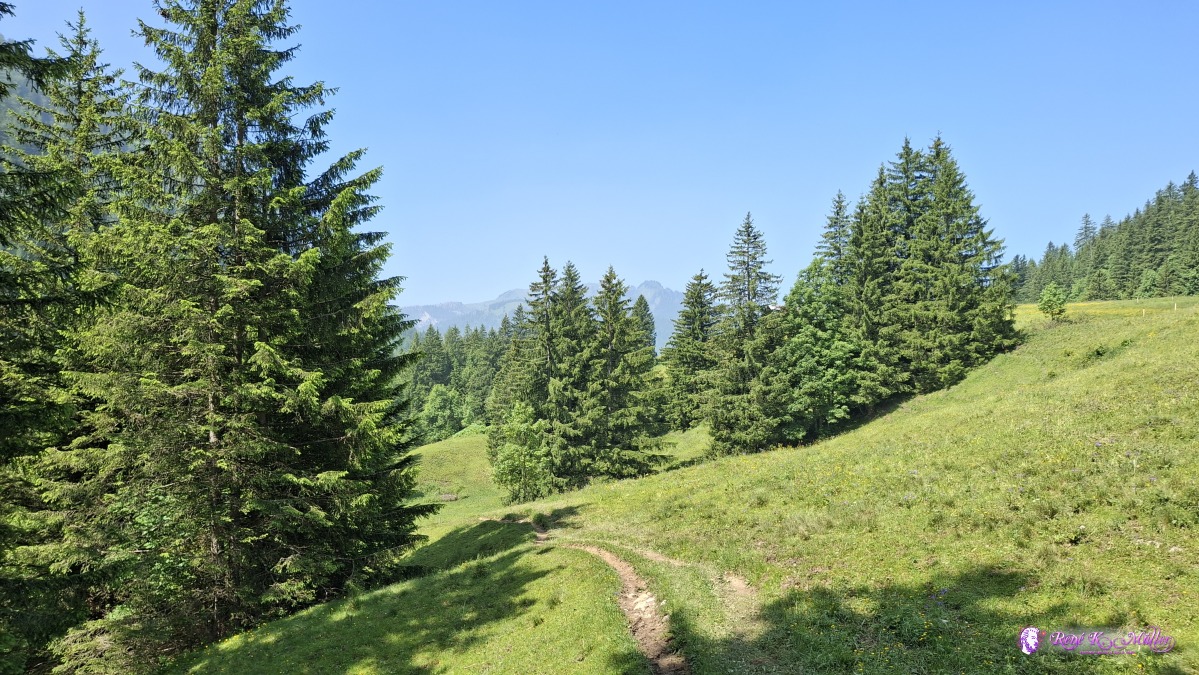 2025/06/11 11:33 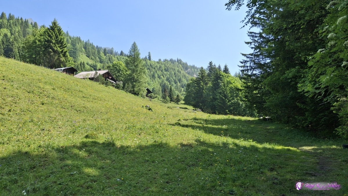 ◈ Ormont-Dessus (Δ 1421m), 2025/06/11 11:33 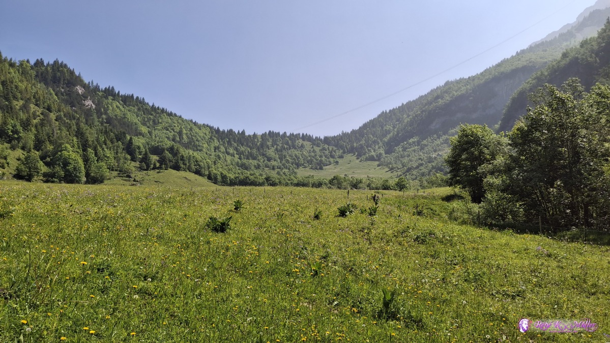 ◈ Ormont-Dessus (Δ 1425m), 2025/06/11 11:36 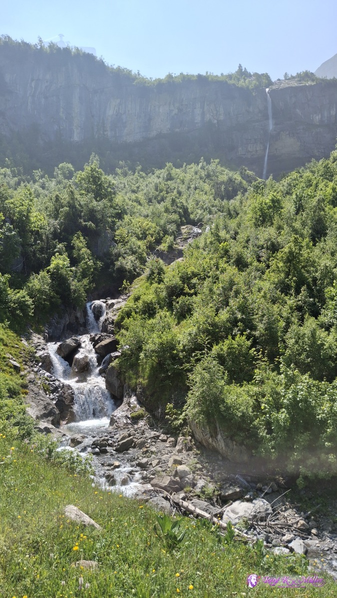 ◈ Cascade du Dar, Ormont-Dessus (Δ 1478m), 2025/06/11 11:48 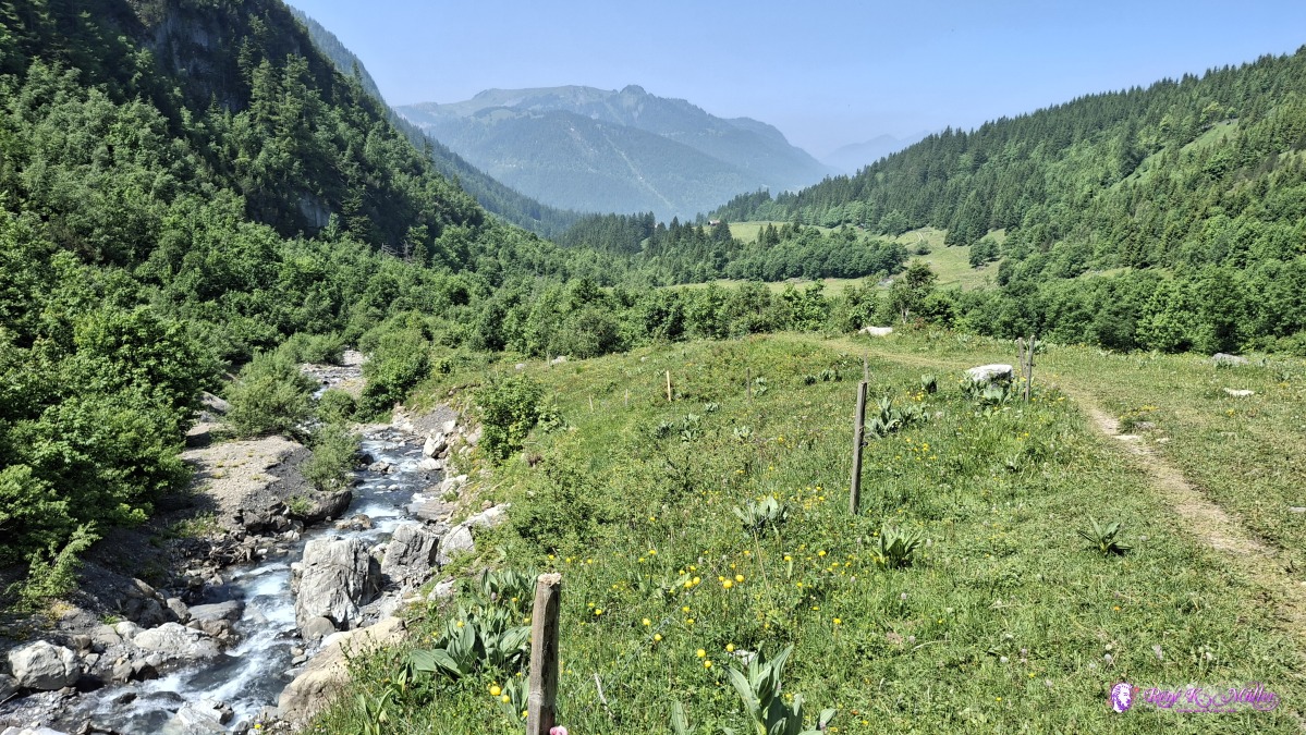 ◈ Cascade du Dar, Ormont-Dessus (Δ 1495m), 2025/06/11 11:49 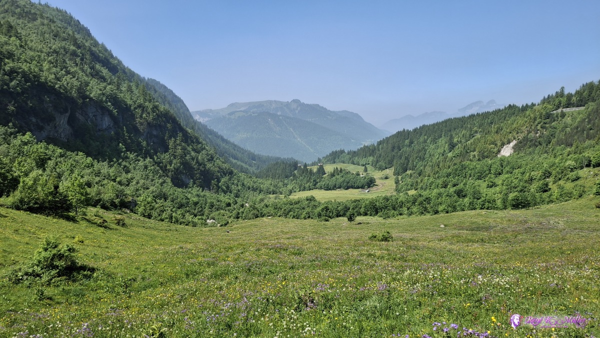 ◈ Ormont-Dessus (Δ 1531m), 2025/06/11 11:58  ◈ Ormont-Dessus (Δ 1531m), 2025/06/11 11:58  ◈ Ormont-Dessus (Δ 1531m), 2025/06/11 11:58 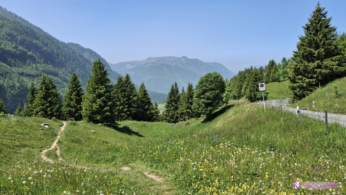 ◈ Ormont-Dessus (Δ 1580m), 2025/06/11 12:08 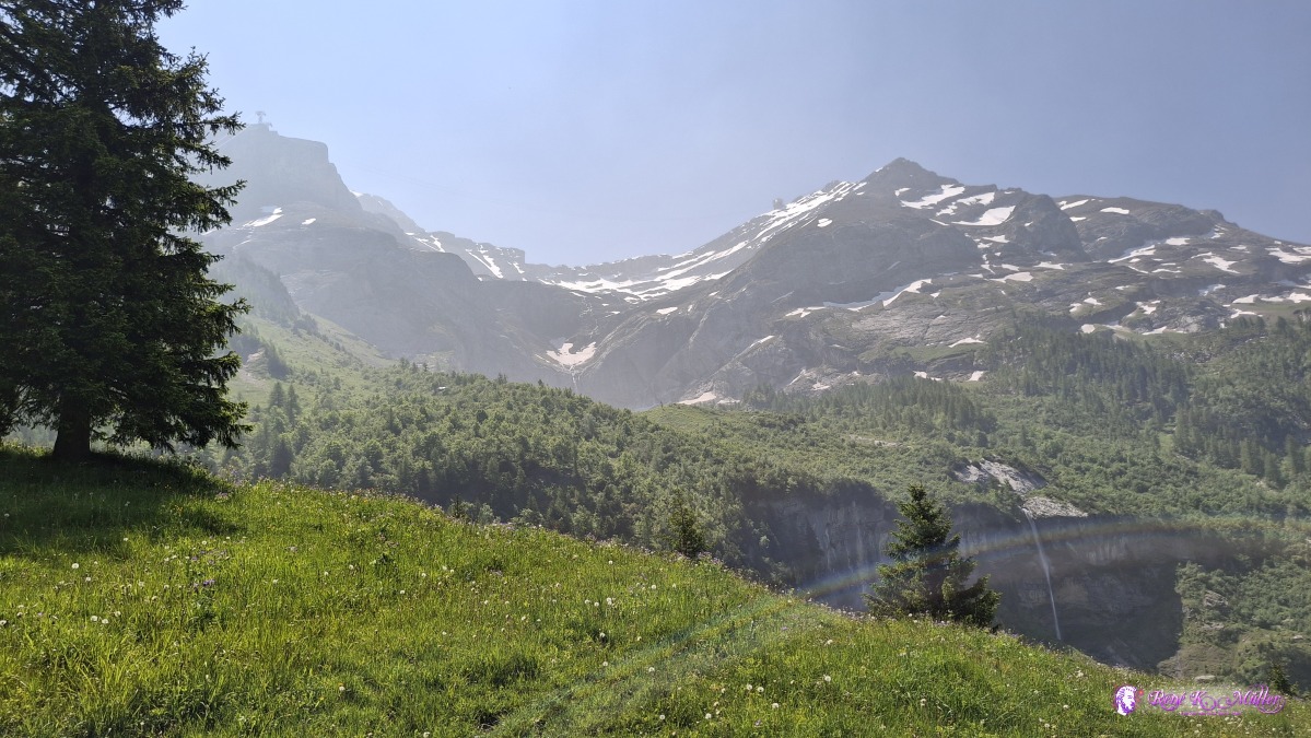 ◈ Ormont-Dessus (Δ 1578m), 2025/06/11 12:08 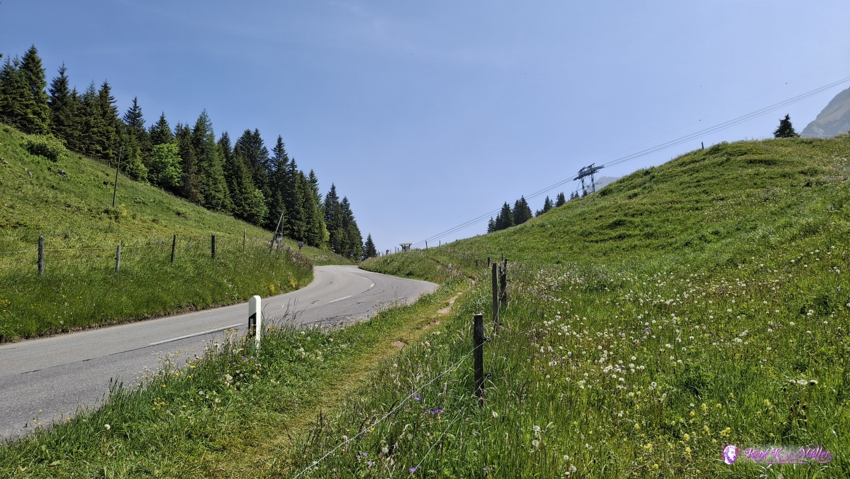 ◈ Ormont-Dessus (Δ 1583m), 2025/06/11 12:09 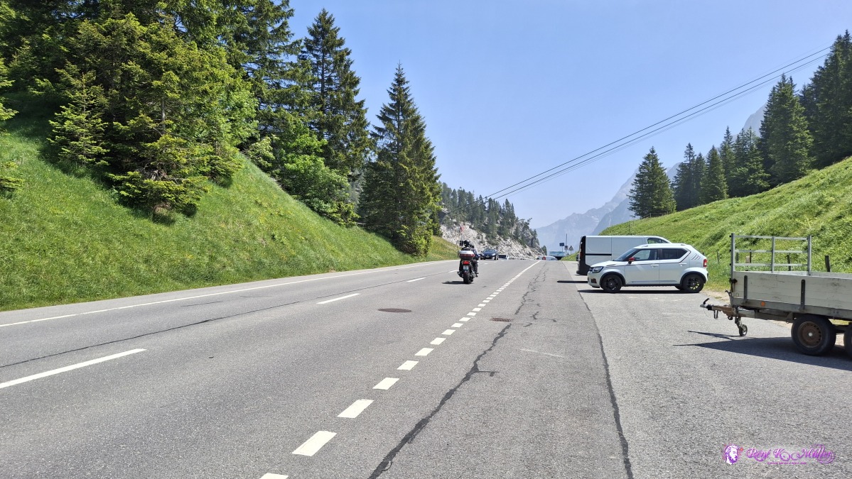 ◈ Ormont-Dessus (Δ 1593m), 2025/06/11 12:12 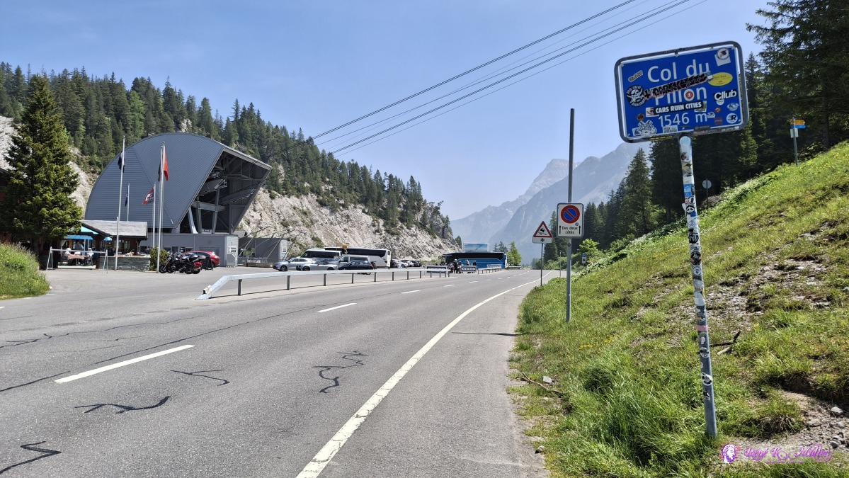 ◈ Ormont-Dessus (Δ 1591m), 2025/06/11 12:13 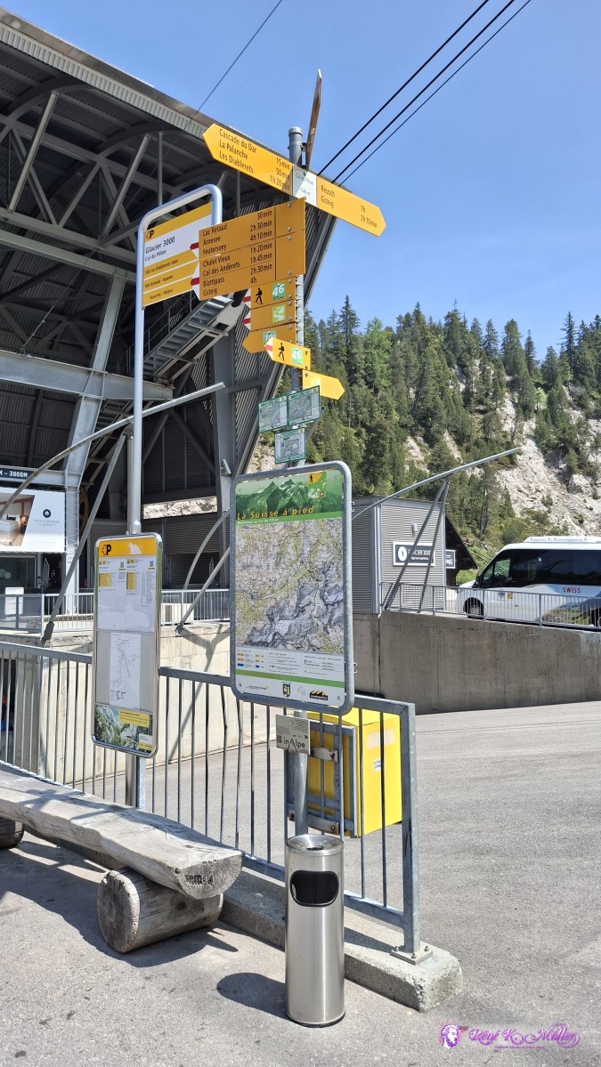 ◈ Ormont-Dessus (Δ 1597m), 2025/06/11 12:15 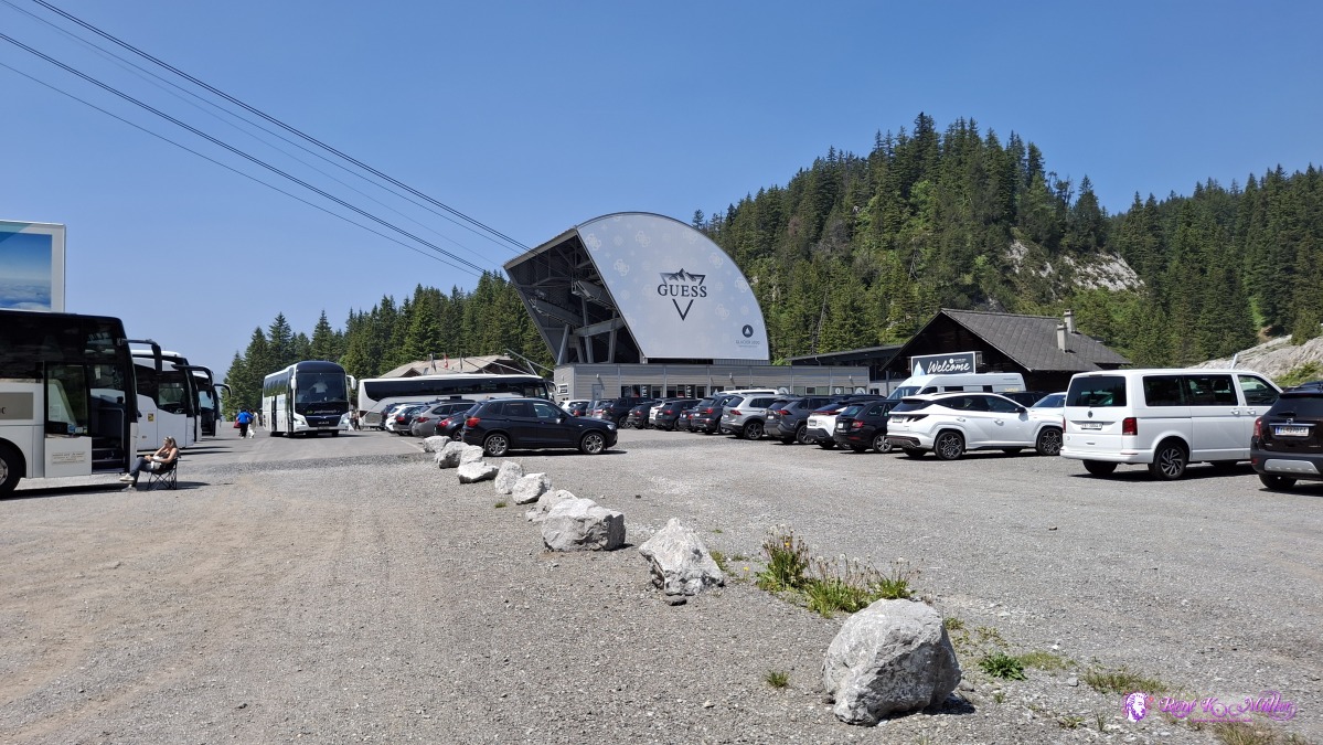 ◈ Ormont-Dessus (Δ 1595m), 2025/06/11 12:17 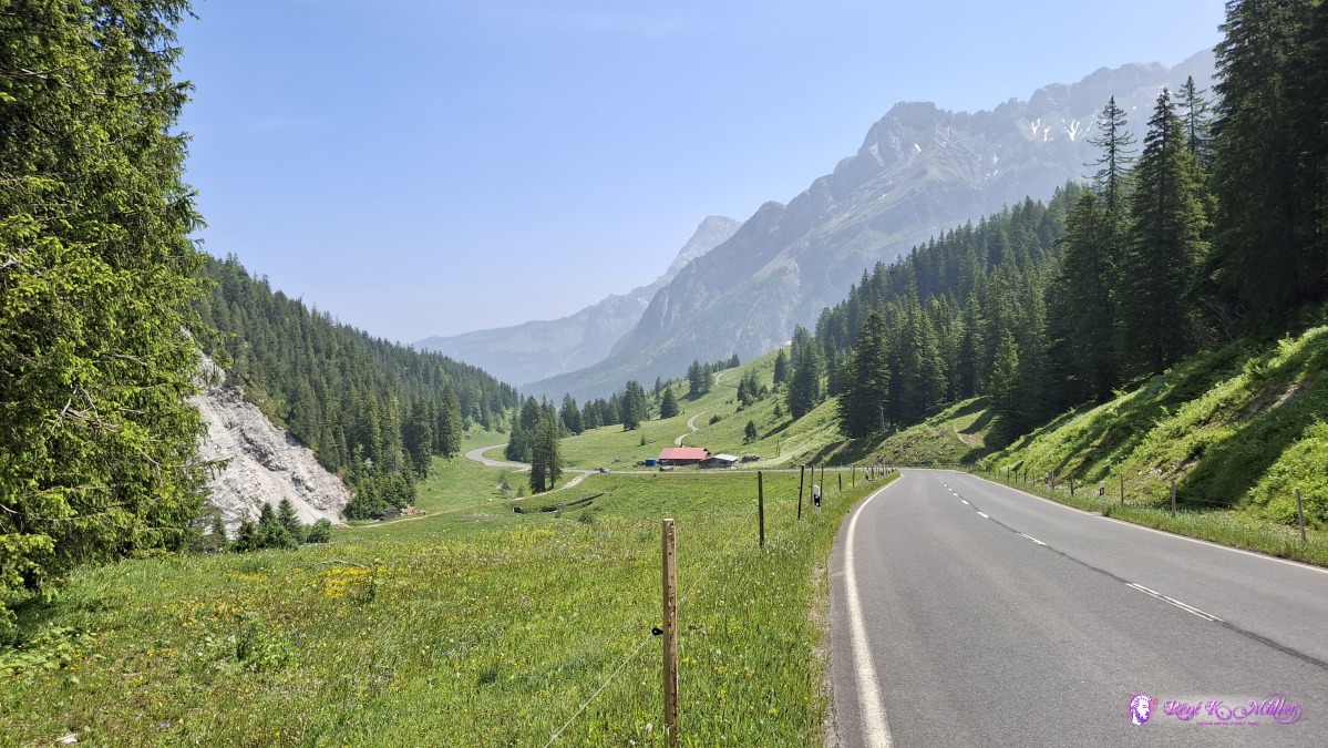 ◈ Ormont-Dessus (Δ 1574m), 2025/06/11 12:20 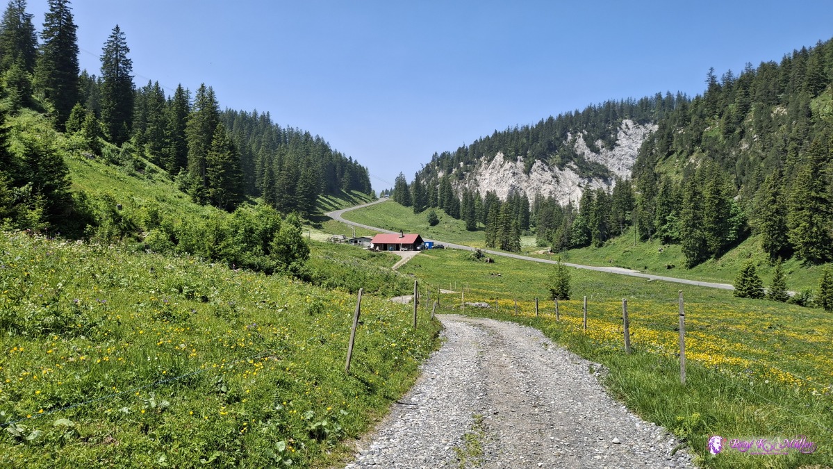 2025/06/11 12:28 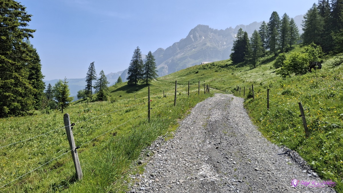 ◈ Ormont-Dessus (Δ 1555m), 2025/06/11 12:28 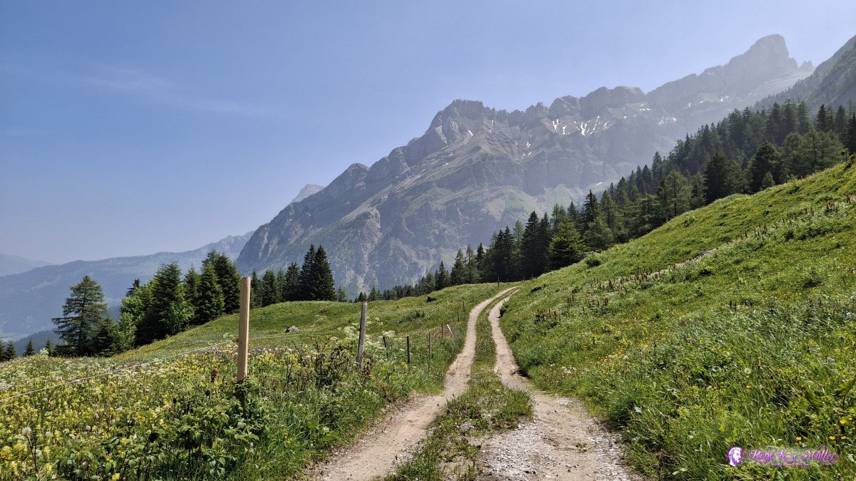 ◈ Gsteig (Δ 1578m), 2025/06/11 12:34 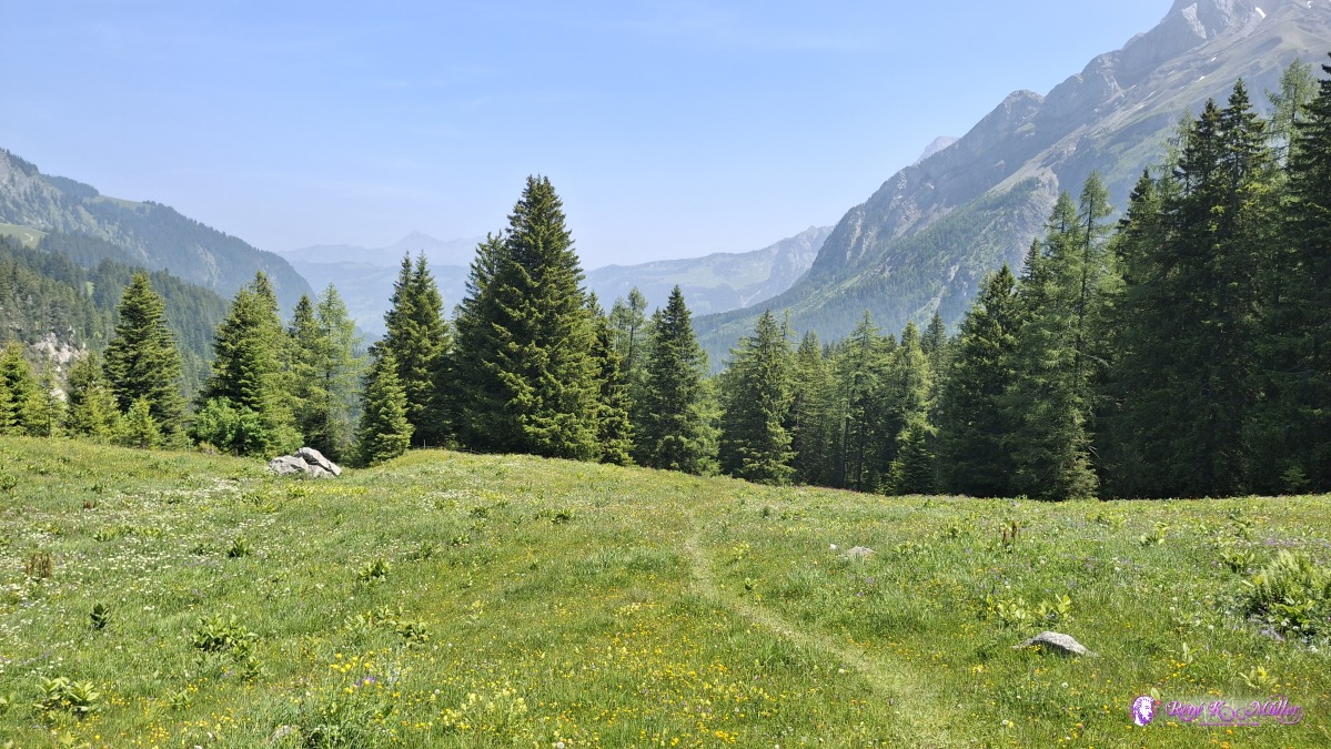 ◈ Gsteig (Δ 1581m), 2025/06/11 12:38 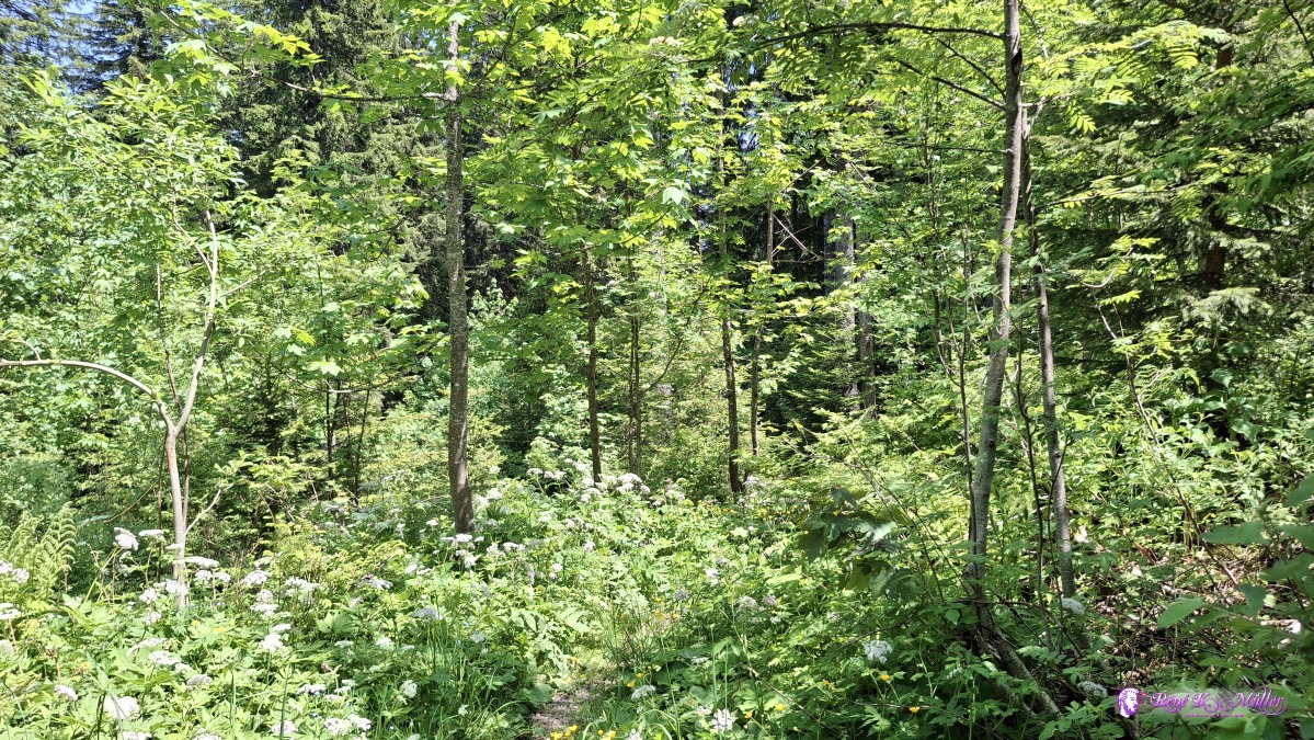 ◈ Gsteig (Δ 1488m), 2025/06/11 13:16 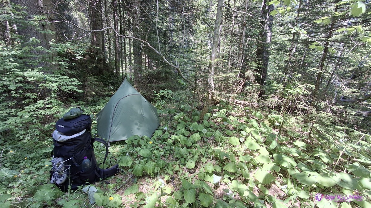 ◈ Gsteig (Δ 1382m), 2025/06/11 14:01 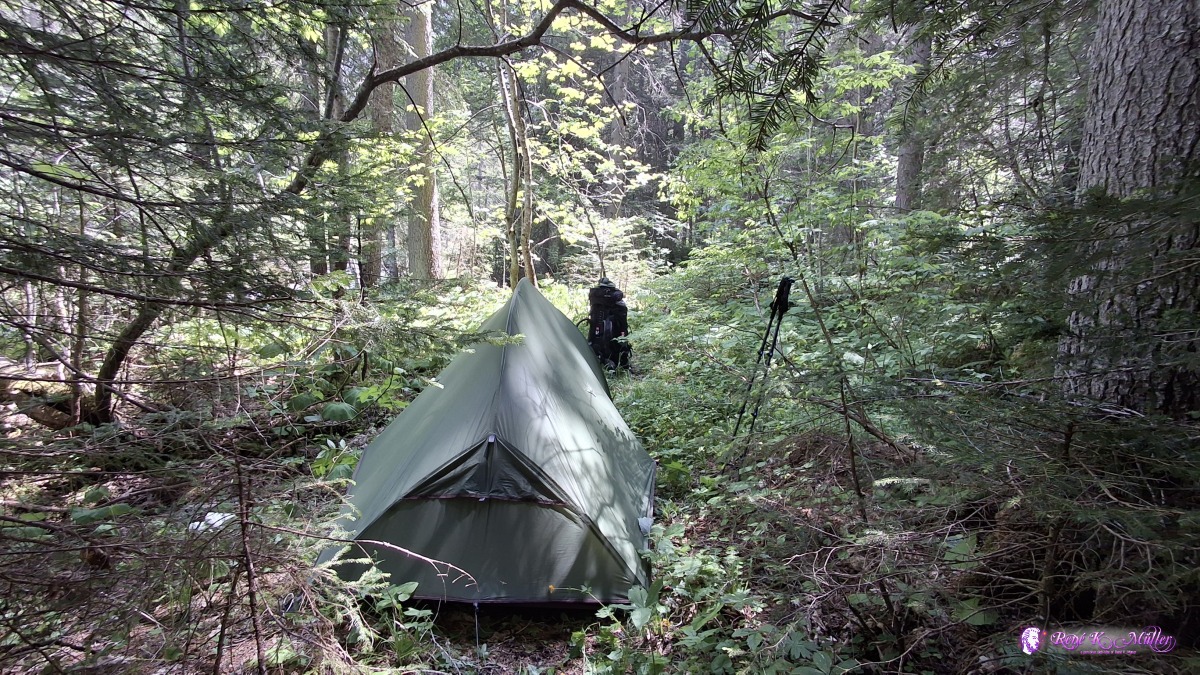 ◈ Gsteig (Δ 1382m), 2025/06/11 14:01 Some distances:
Thursday 2025/06/12: Gsteig - FeutersoeyLong sleep, leaving 10:00 and follow the river Saane, about 14:00 I stop at nice spot near Feutersoey, next to the river and take the opportunity to wash some of the cloths and wash myself, I wait until my spot has some shadow from the trees before I pitch the tent - a slow but refreshing day.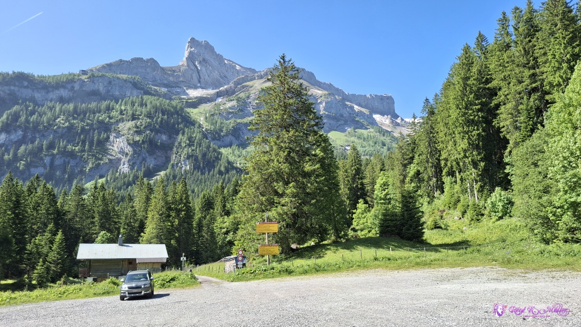 2025/06/12 10:27 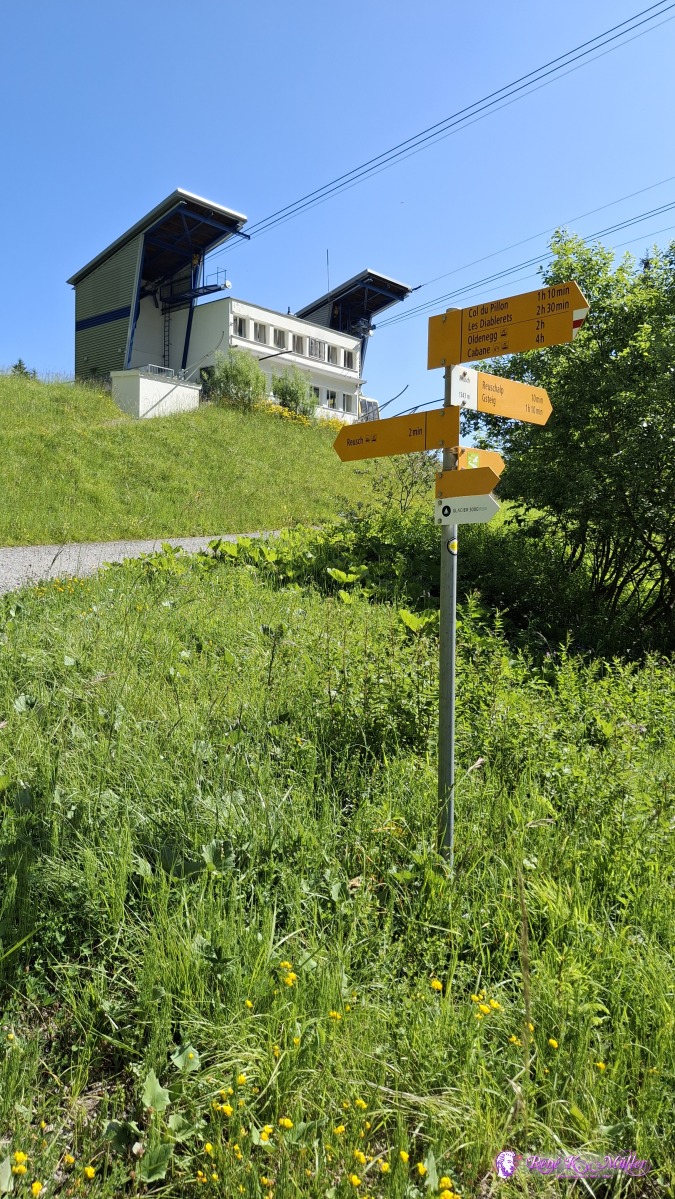 ◈ Gsteig (Δ 1387m), 2025/06/12 10:28 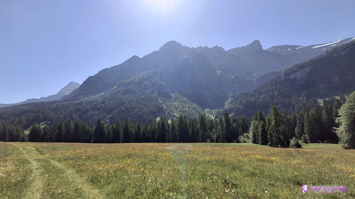 ◈ Gsteig (Δ 1389m), 2025/06/12 10:30  ◈ Gsteig (Δ 1389m), 2025/06/12 10:30 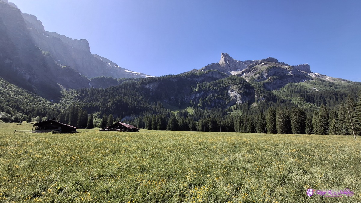 ◈ Gsteig (Δ 1364m), 2025/06/12 10:36 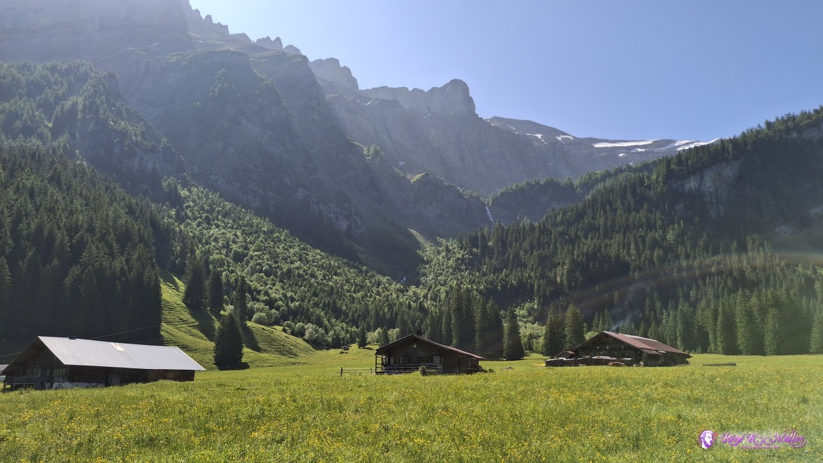 ◈ Gsteig (Δ 1364m), 2025/06/12 10:37 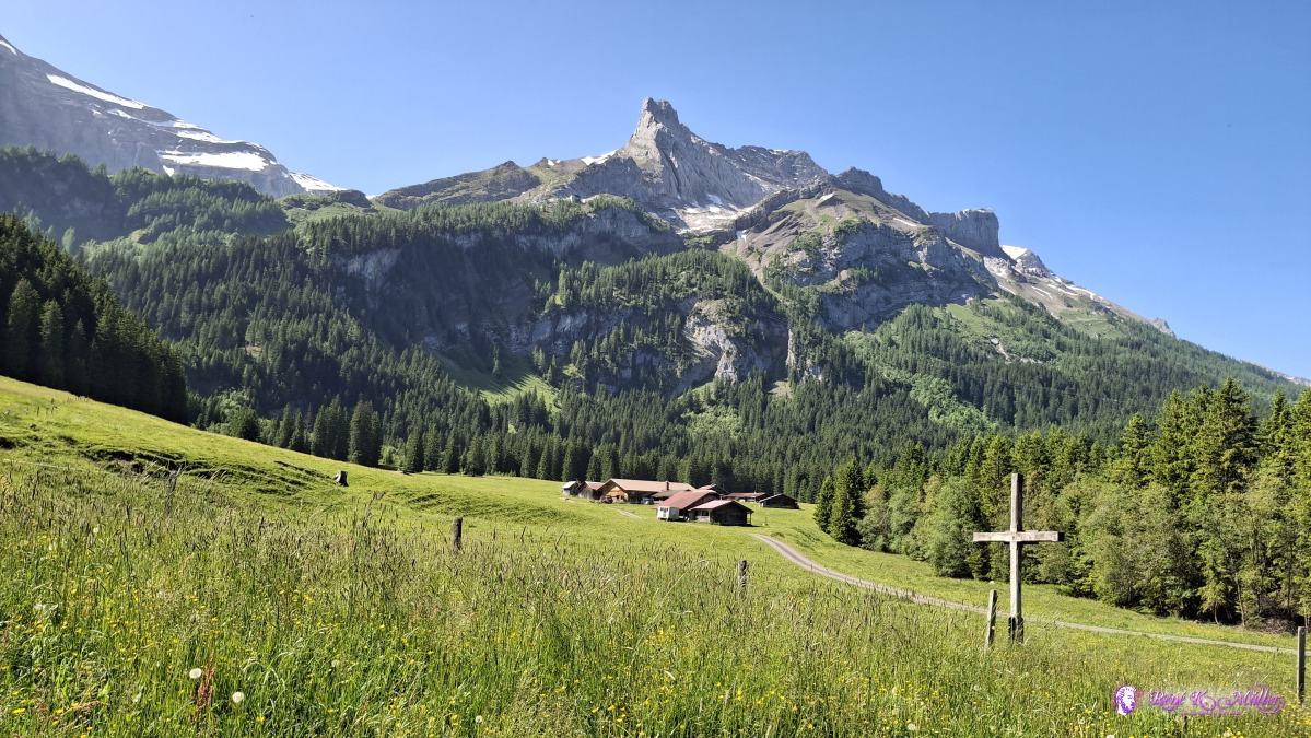 ◈ Gsteig (Δ 1368m), 2025/06/12 10:44 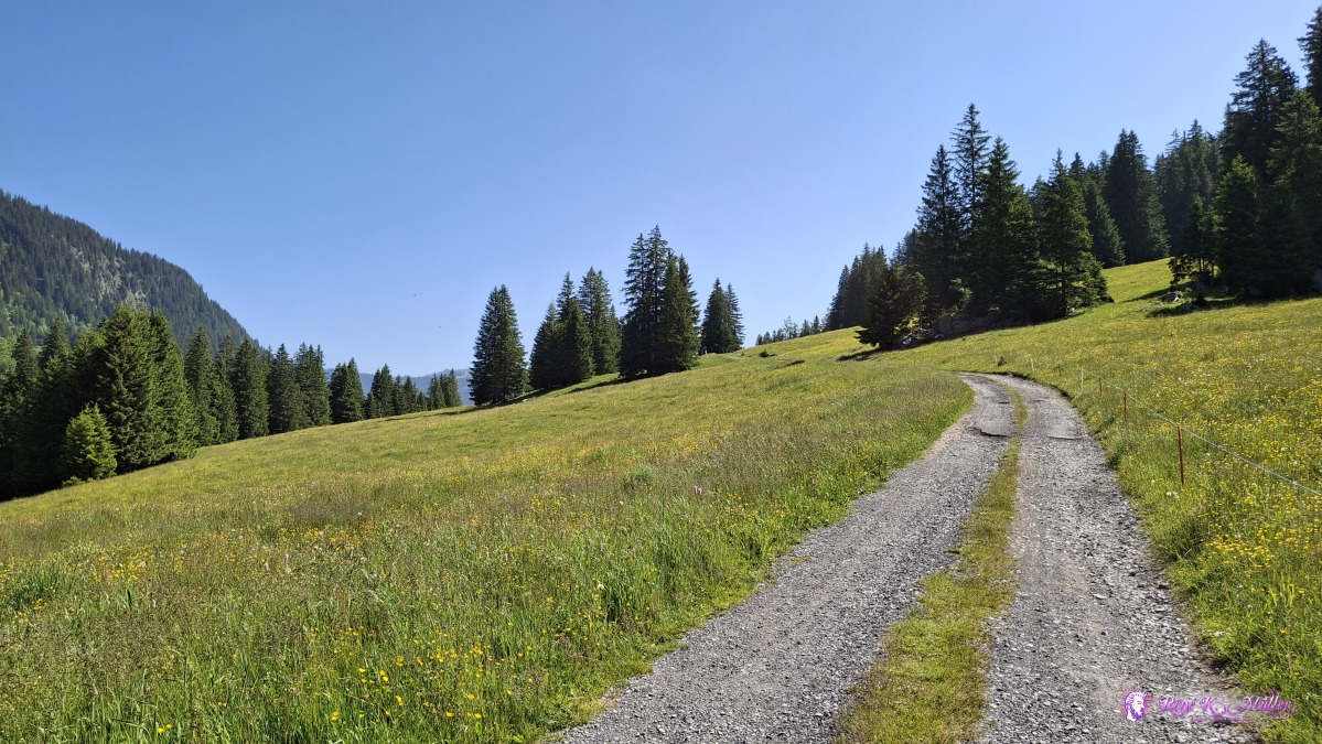 ◈ Gsteig (Δ 1364m), 2025/06/12 10:44 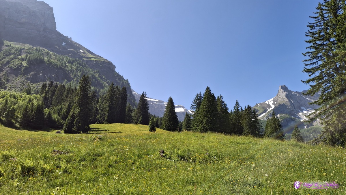 ◈ Gsteig (Δ 1374m), 2025/06/12 10:51 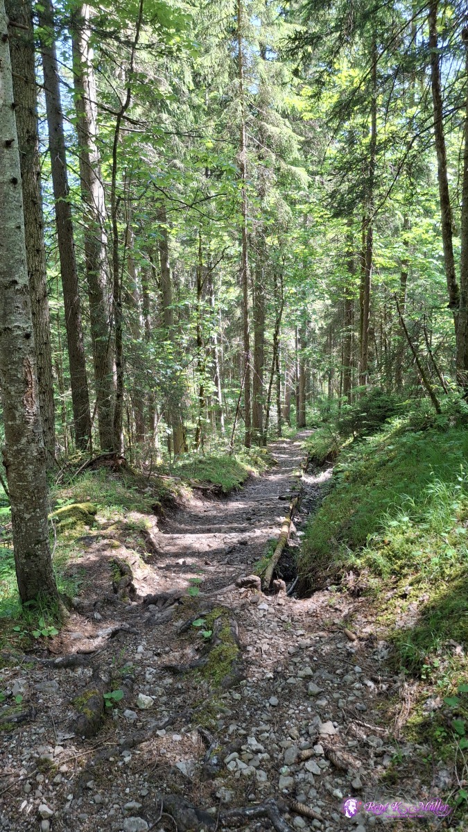 ◈ Gsteig (Δ 1369m), 2025/06/12 11:05 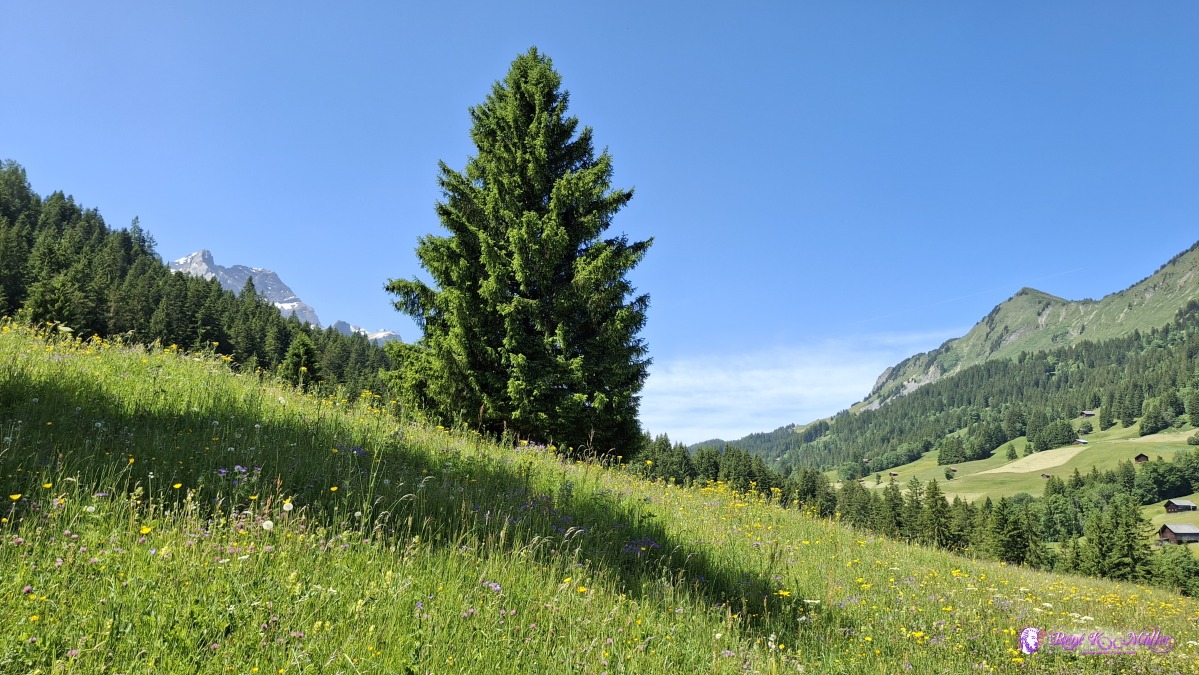 ◈ Heiti, Gsteig (Δ 1296m), 2025/06/12 11:36 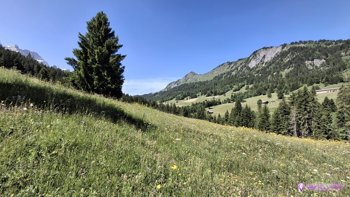 ◈ Heiti, Gsteig (Δ 1296m), 2025/06/12 11:37 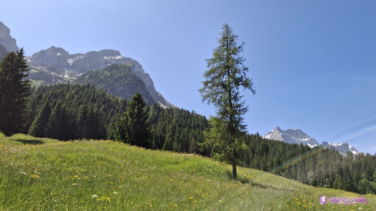 ◈ Heiti, Gsteig (Δ 1302m), 2025/06/12 11:38 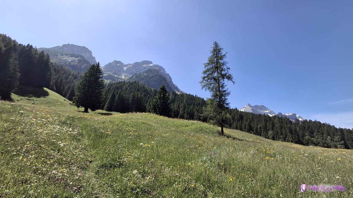 ◈ Heiti, Gsteig (Δ 1302m), 2025/06/12 11:38 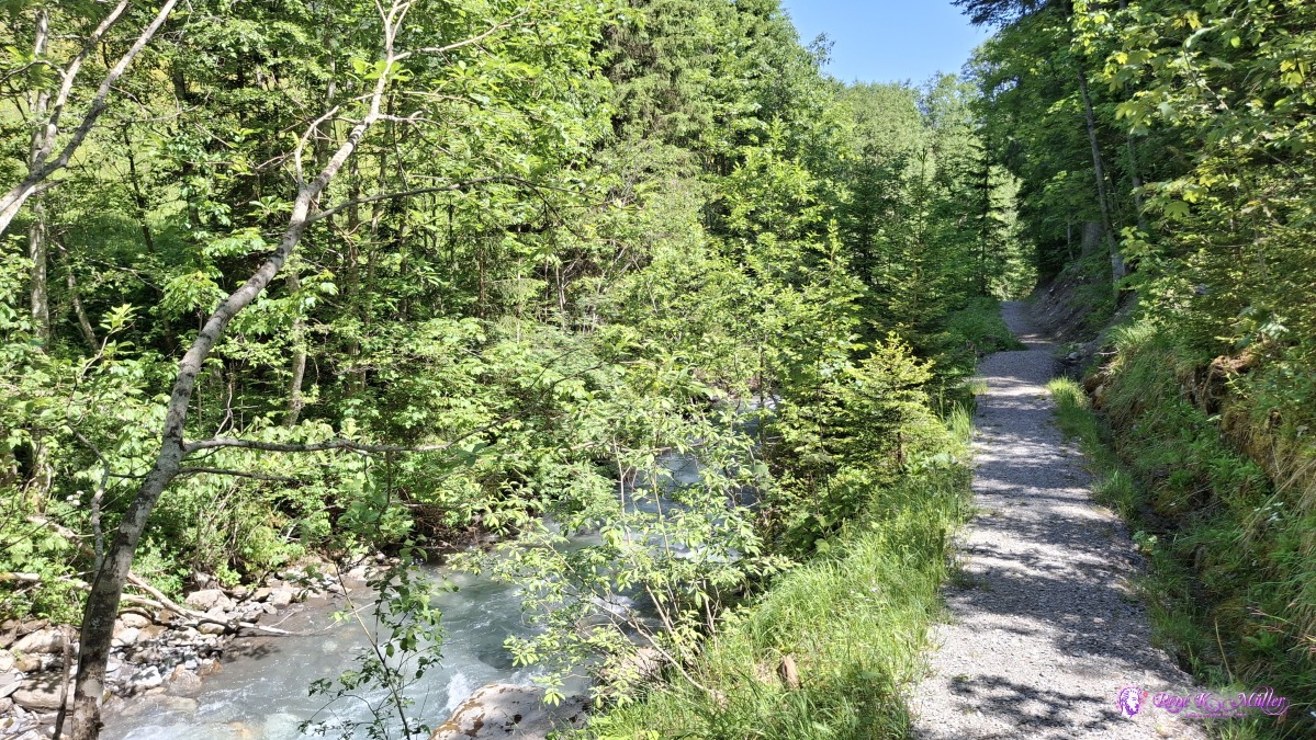 ◈ Heiti, Gsteig (Δ 1253m), 2025/06/12 11:41 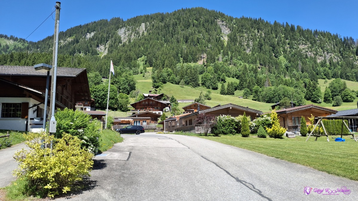 2025/06/12 11:47 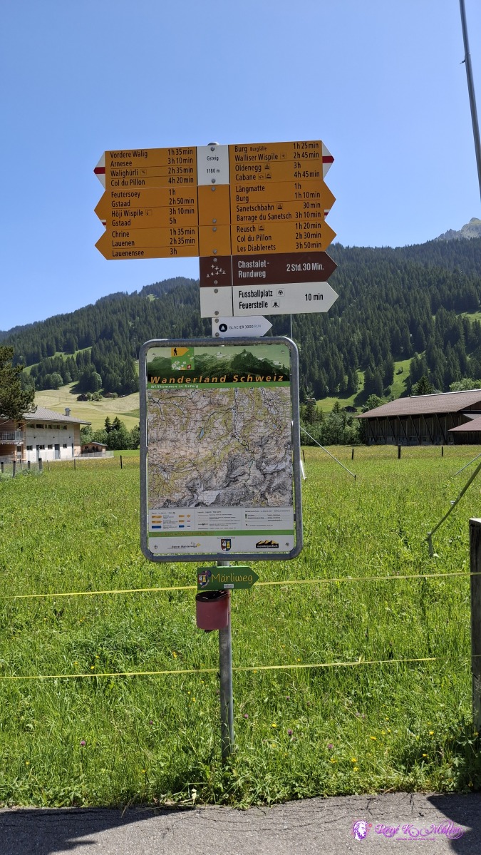 ◈ Pfrüendli, Gsteig (Δ 1232m), 2025/06/12 12:01 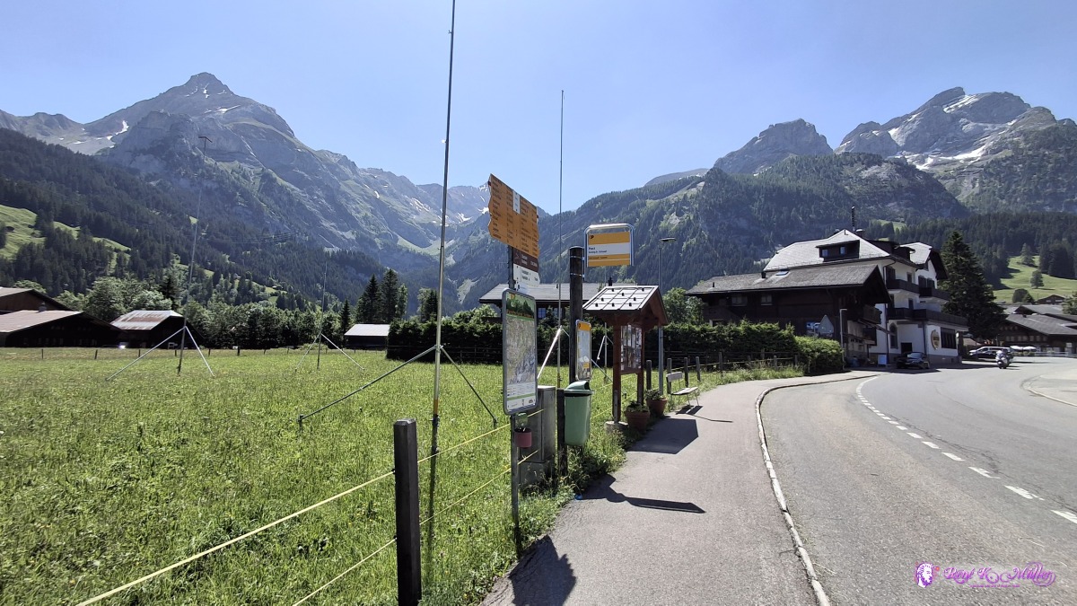 ◈ Pfrüendli, Gsteig (Δ 1232m), 2025/06/12 12:01 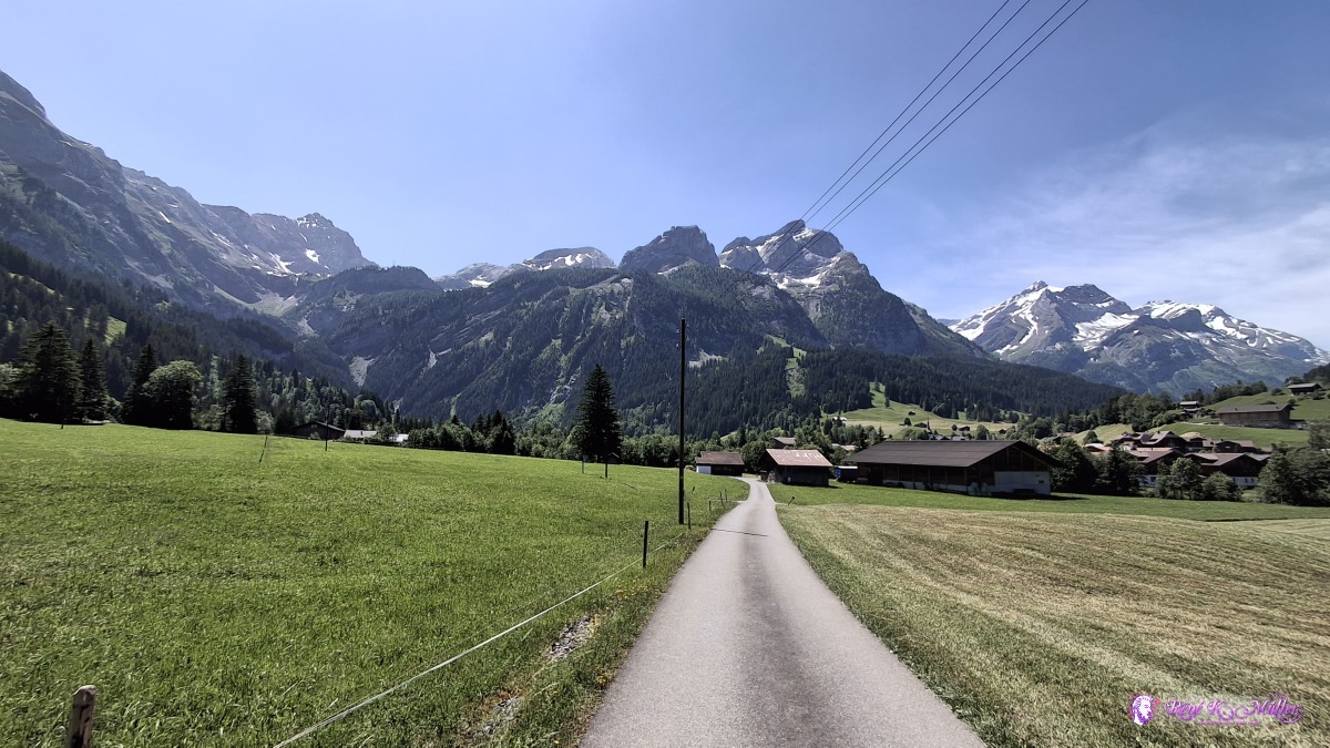 ◈ Pfrüendli, Gsteig (Δ 1222m), 2025/06/12 12:09 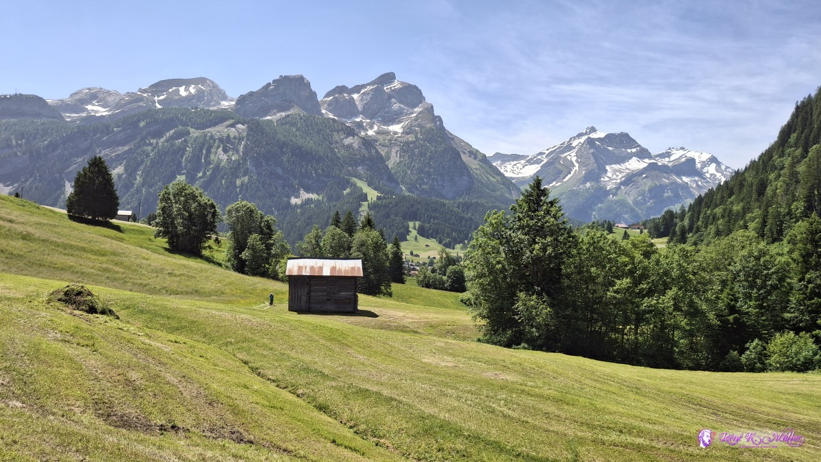 2025/06/12 12:18 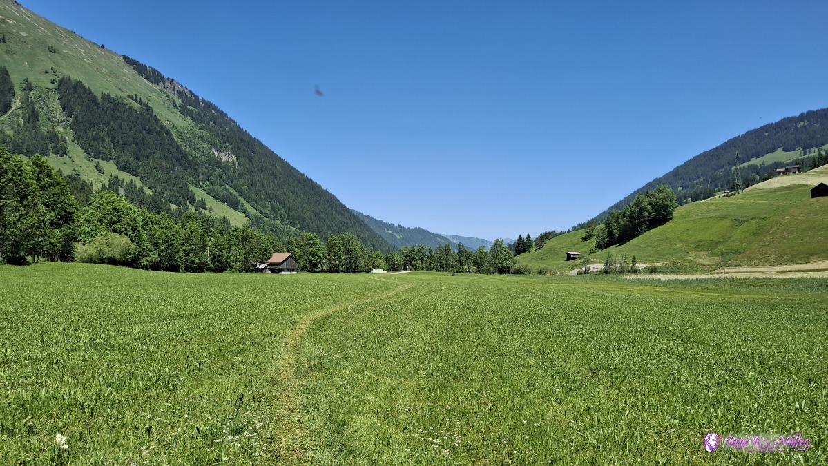 ◈ Feutersoey (Δ 1193m), 2025/06/12 12:36 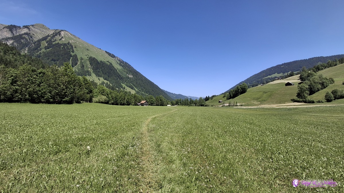 ◈ Feutersoey (Δ 1194m), 2025/06/12 12:36 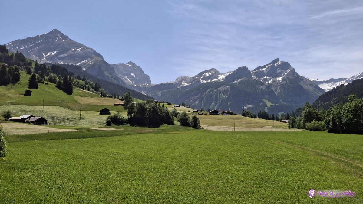 ◈ Feutersoey (Δ 1187m), 2025/06/12 12:40 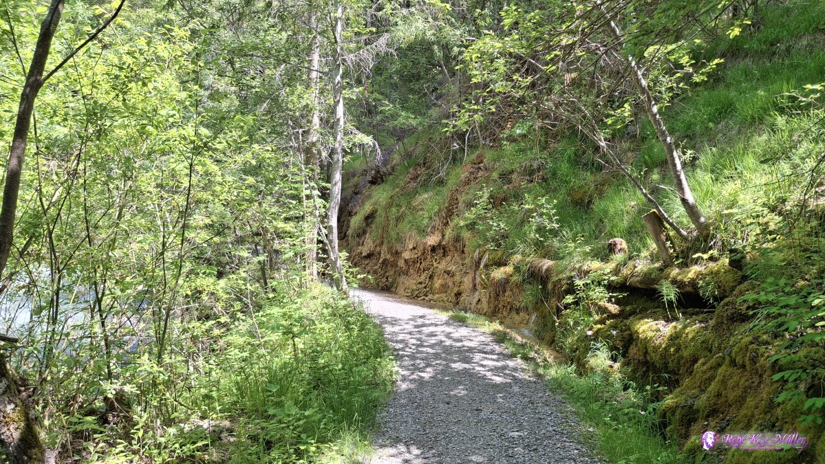 ◈ Feutersoey (Δ 1180m), 2025/06/12 12:51 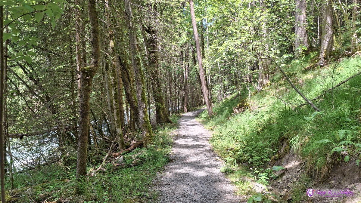 ◈ Feutersoey (Δ 1188m), 2025/06/12 13:06 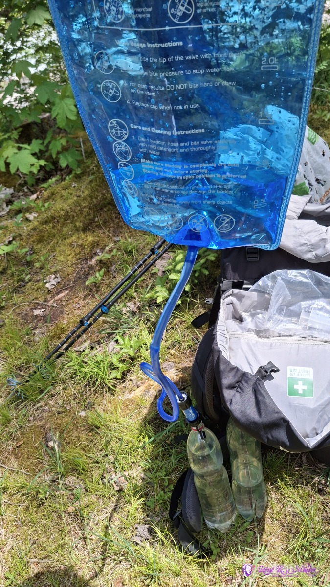 2025/06/12 14:05 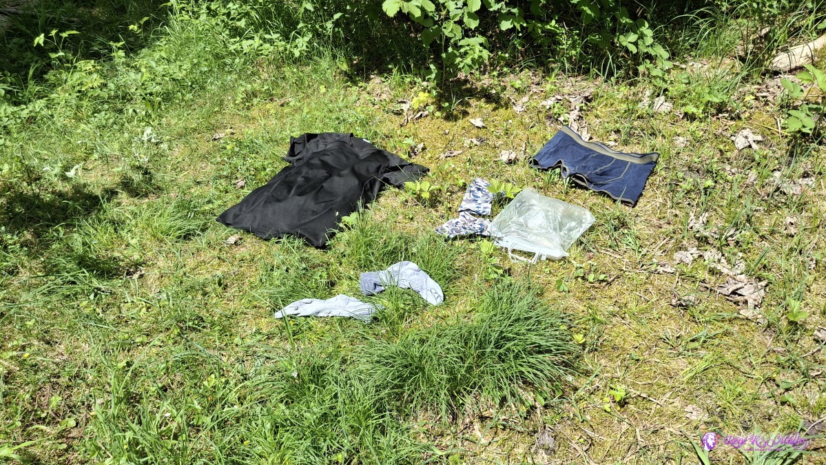 2025/06/12 14:39 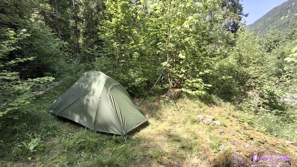 ◈ Saanen (Δ 1148m), 2025/06/12 16:14 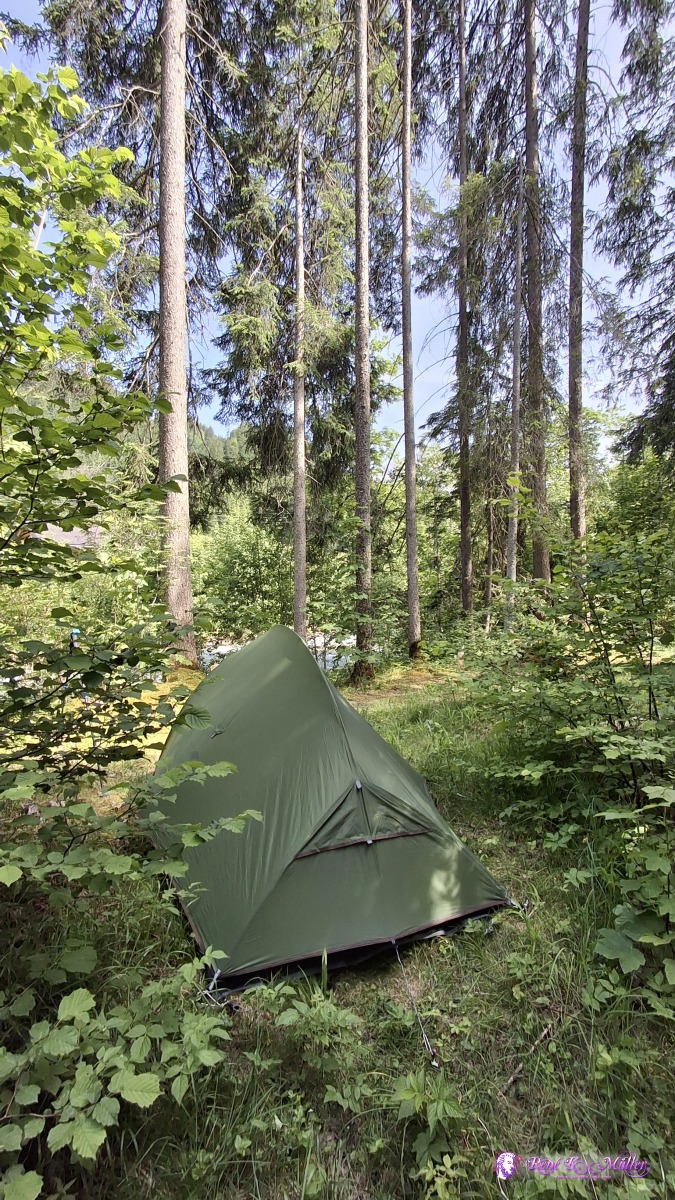 ◈ Saanen (Δ 1150m), 2025/06/12 16:14 Friday 2025/06/13: Feutersoey - GrubenwaldLeaving 8:00 after a long sleep, and reach Gstaad ~9:45, and shop some additional food, and ascend slightly toward Saanenmoeser - kind of a pass connecting two valleys - and also leaving river Saane, and joining Simme (river) valley - absolute beautiful scenery today. The hiking path becomes a bit hilly and finally descend to Zweisimmen, and continue toward Grubenwald, and find a nice spot for tonight, 16:00, and 17:00 some thunderstorm and rain starts for 2-3 hours, was good timing. 2025/06/13 08:30 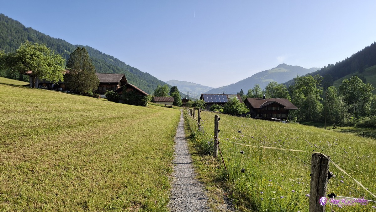 ◈ Saanen (Δ 1135m), 2025/06/13 08:48 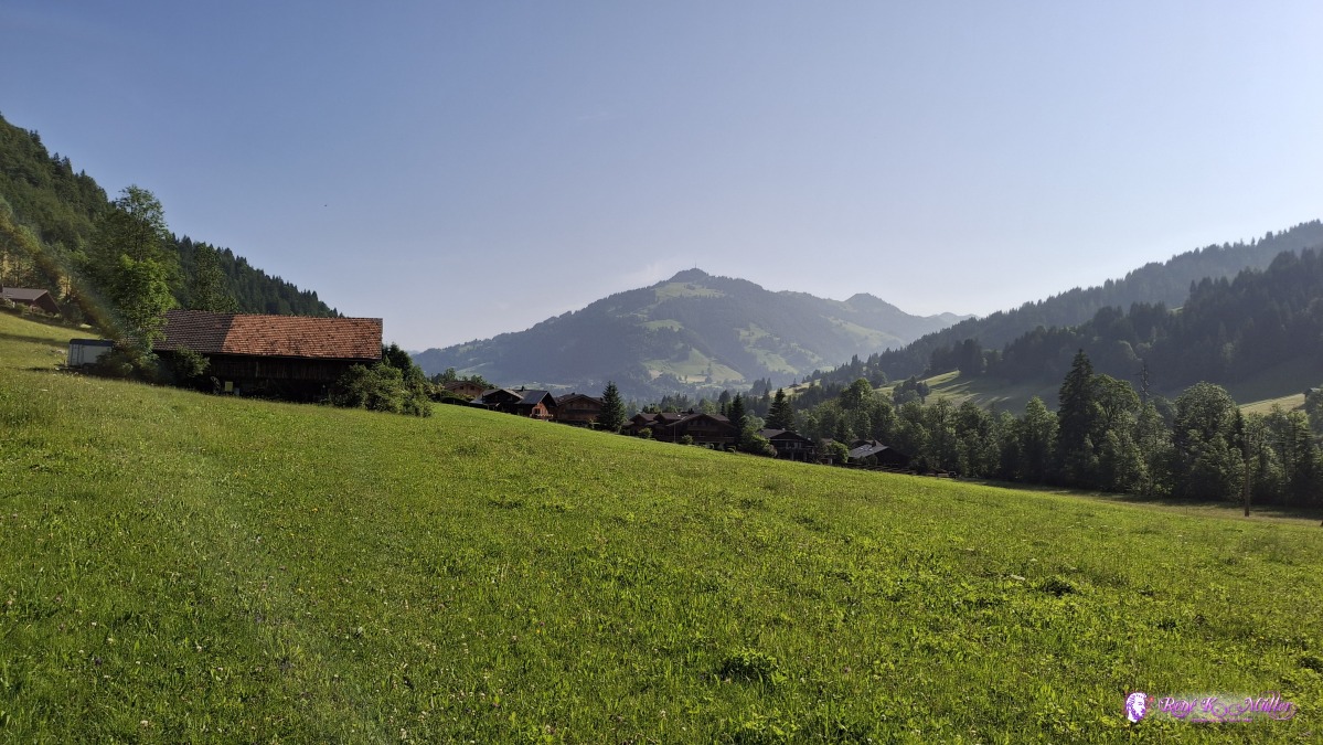 2025/06/13 09:00 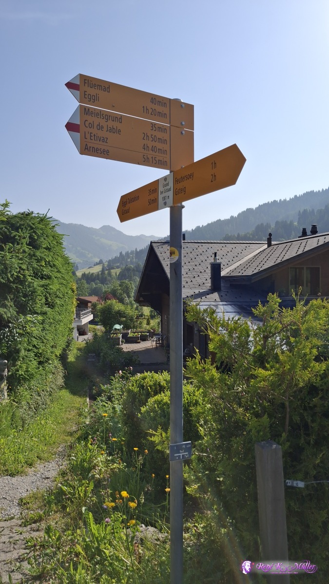 ◈ Saanen (Δ 1125m), 2025/06/13 09:03 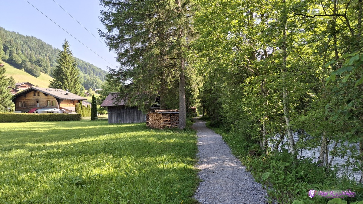 2025/06/13 09:12 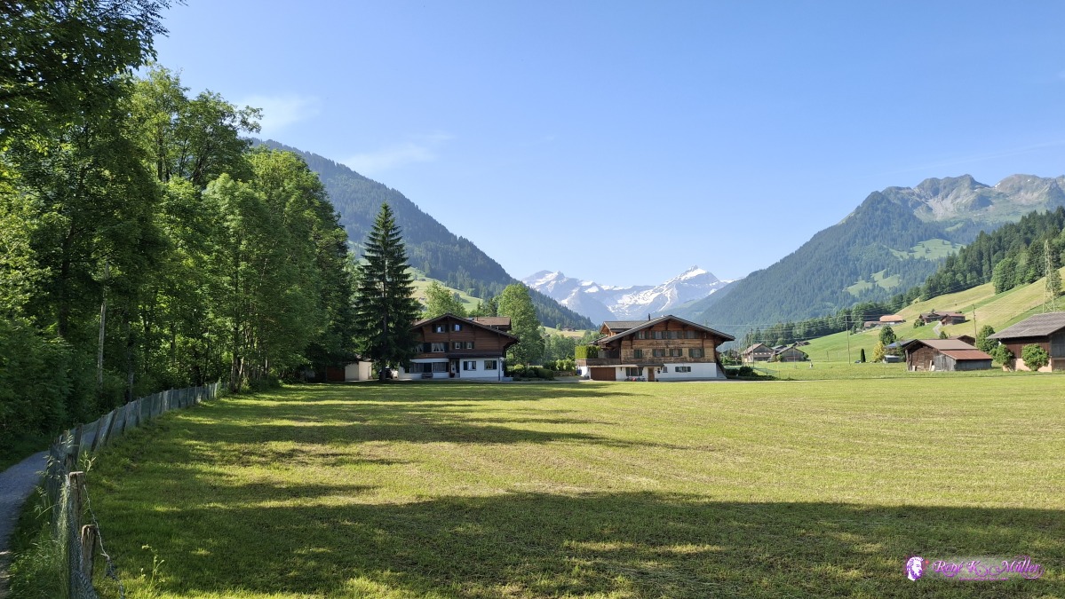 2025/06/13 09:31 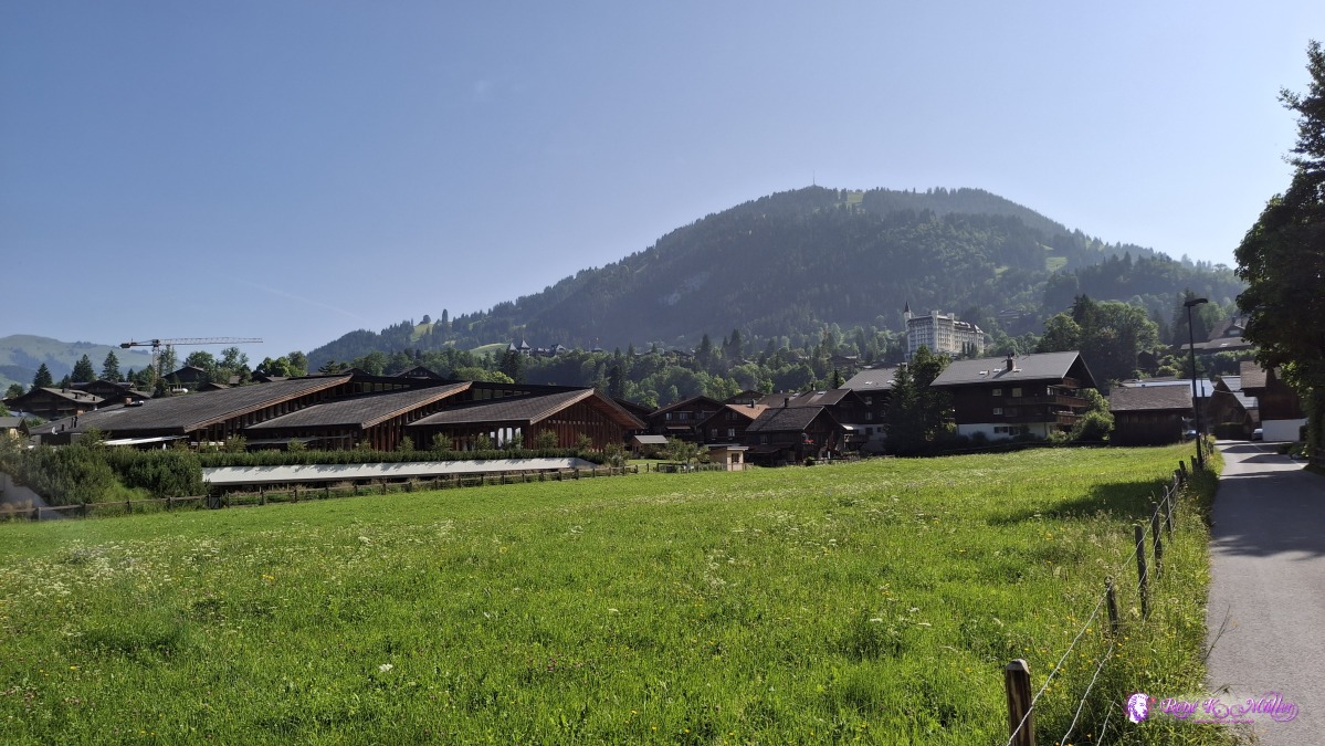 2025/06/13 09:37 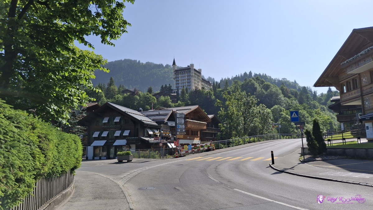 ◈ Wispile, Gstaad (Δ 1094m), 2025/06/13 09:45 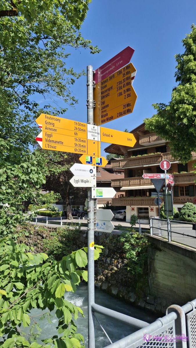 ◈ Lauibachbrücke, Wispile, Gstaad (Δ 1099m), 2025/06/13 09:46 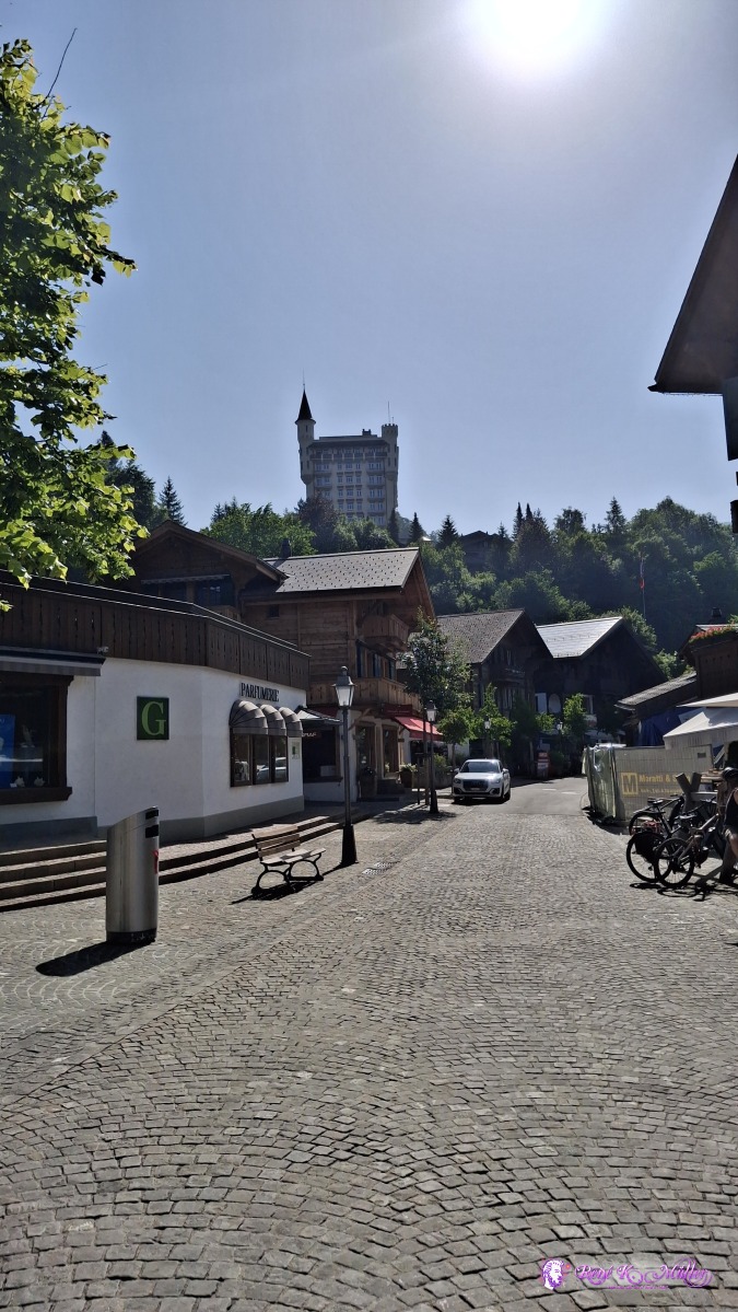 2025/06/13 09:47 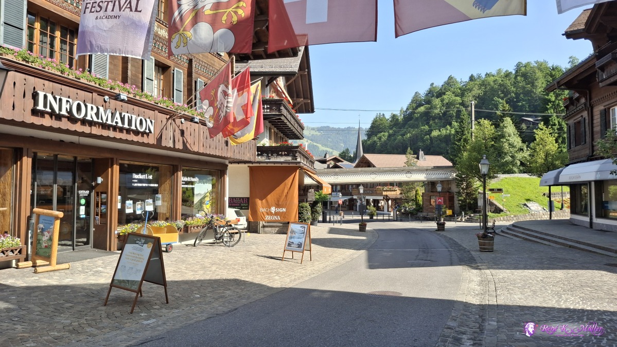 ◈ Wispile, Gstaad (Δ 1114m), 2025/06/13 09:48 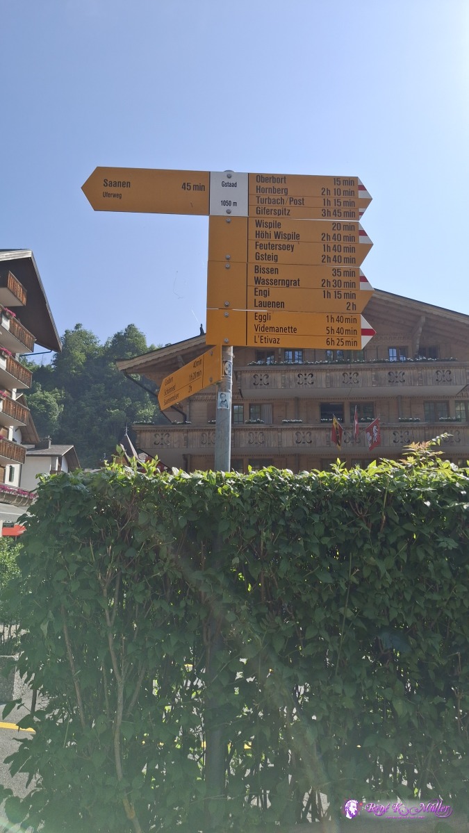 ◈ Gstaad, Gstaad (Δ 1099m), 2025/06/13 09:52 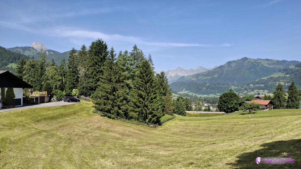 ◈ Gstaad (Δ 1141m), 2025/06/13 10:21 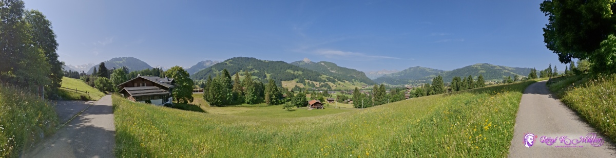 ◈ Gstaad (Δ 1155m), 2025/06/13 10:23 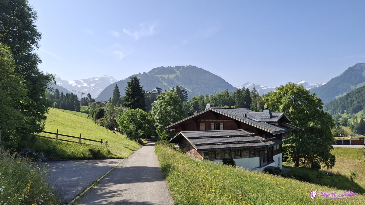 ◈ Gstaad (Δ 1146m), 2025/06/13 10:24 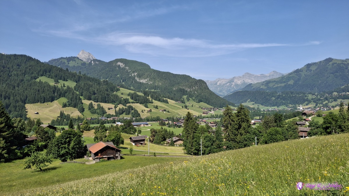 ◈ Gstaad (Δ 1146m), 2025/06/13 10:24  ◈ Gstaad (Δ 1161m), 2025/06/13 10:27 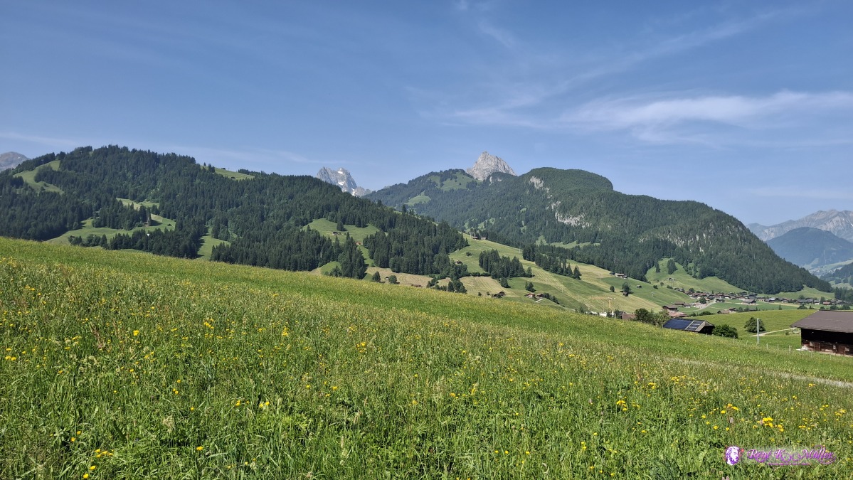 ◈ Gstaad (Δ 1163m), 2025/06/13 10:30 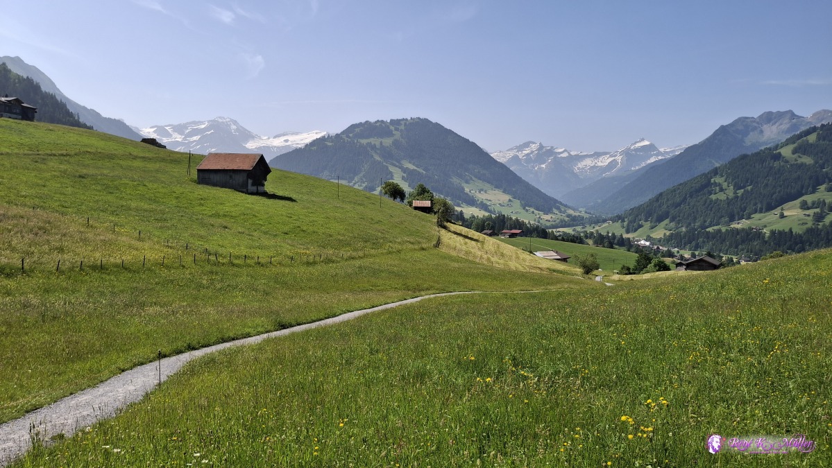 ◈ Gstaad (Δ 1207m), 2025/06/13 10:39 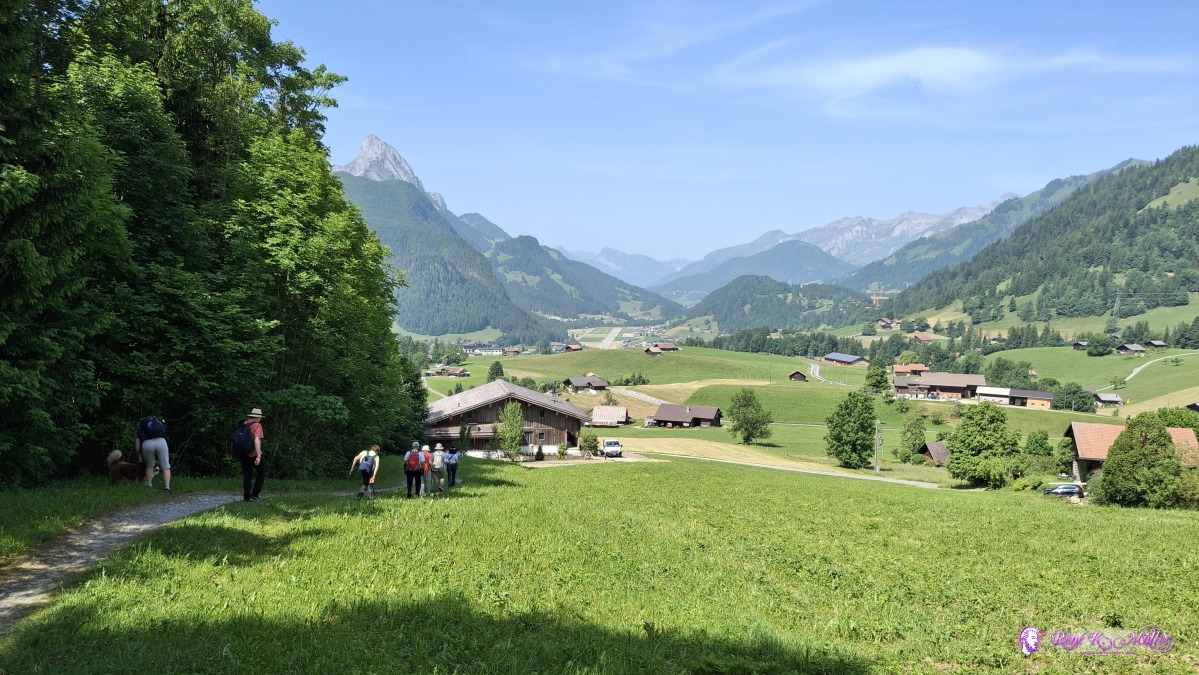 2025/06/13 11:06 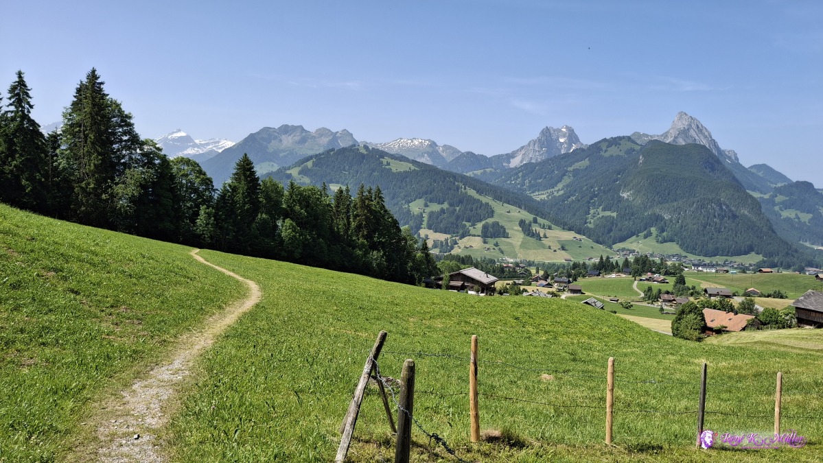 ◈ Schönried (Δ 1275m), 2025/06/13 11:09 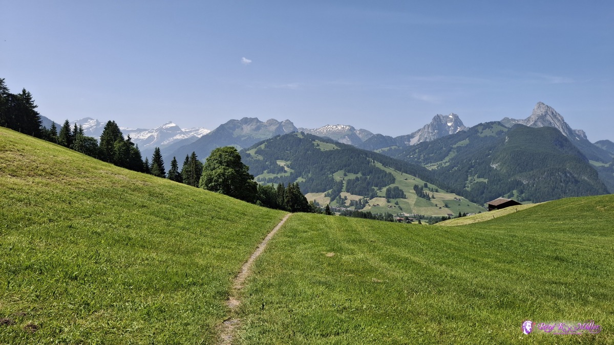 ◈ Schönried (Δ 1299m), 2025/06/13 11:11  ◈ Schönried (Δ 1352m), 2025/06/13 11:24 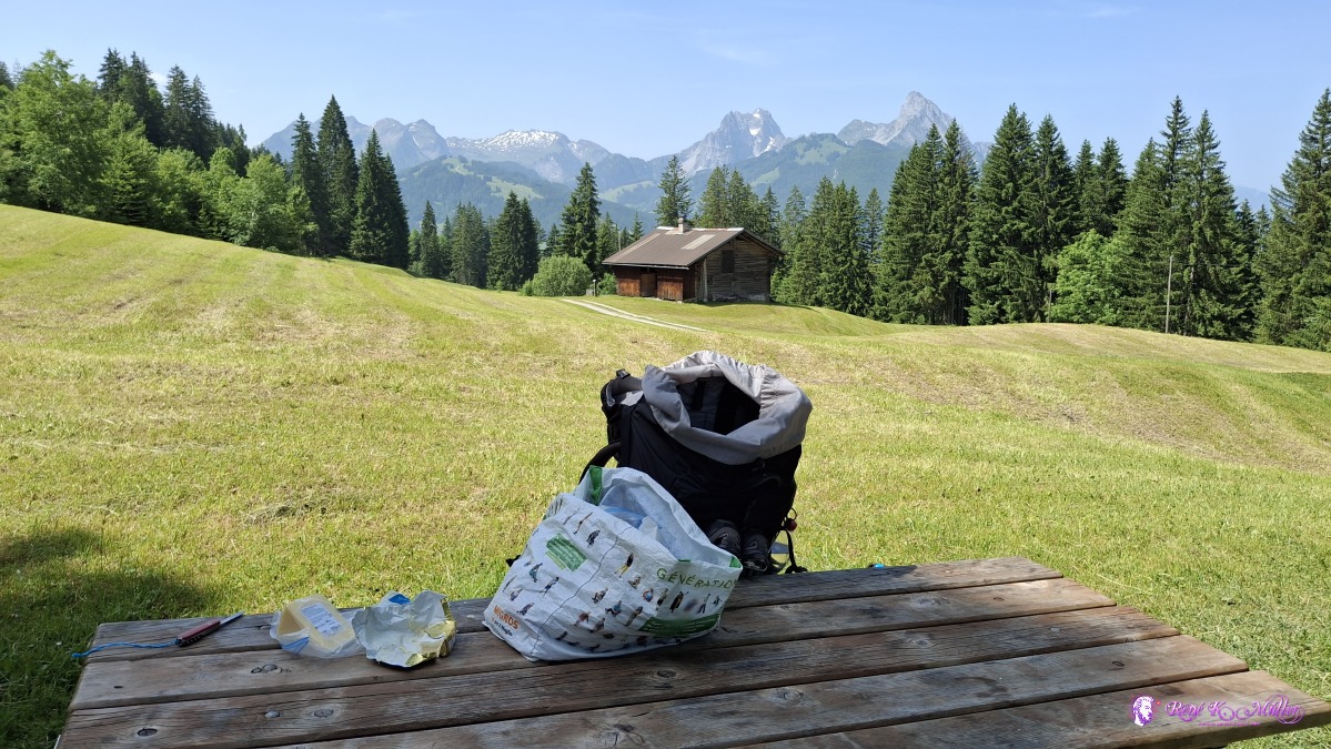 ◈ Kübeli, Schönried (Δ 1370m), 2025/06/13 11:30 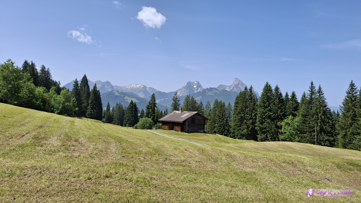 ◈ Kübeli, Schönried (Δ 1361m), 2025/06/13 11:30 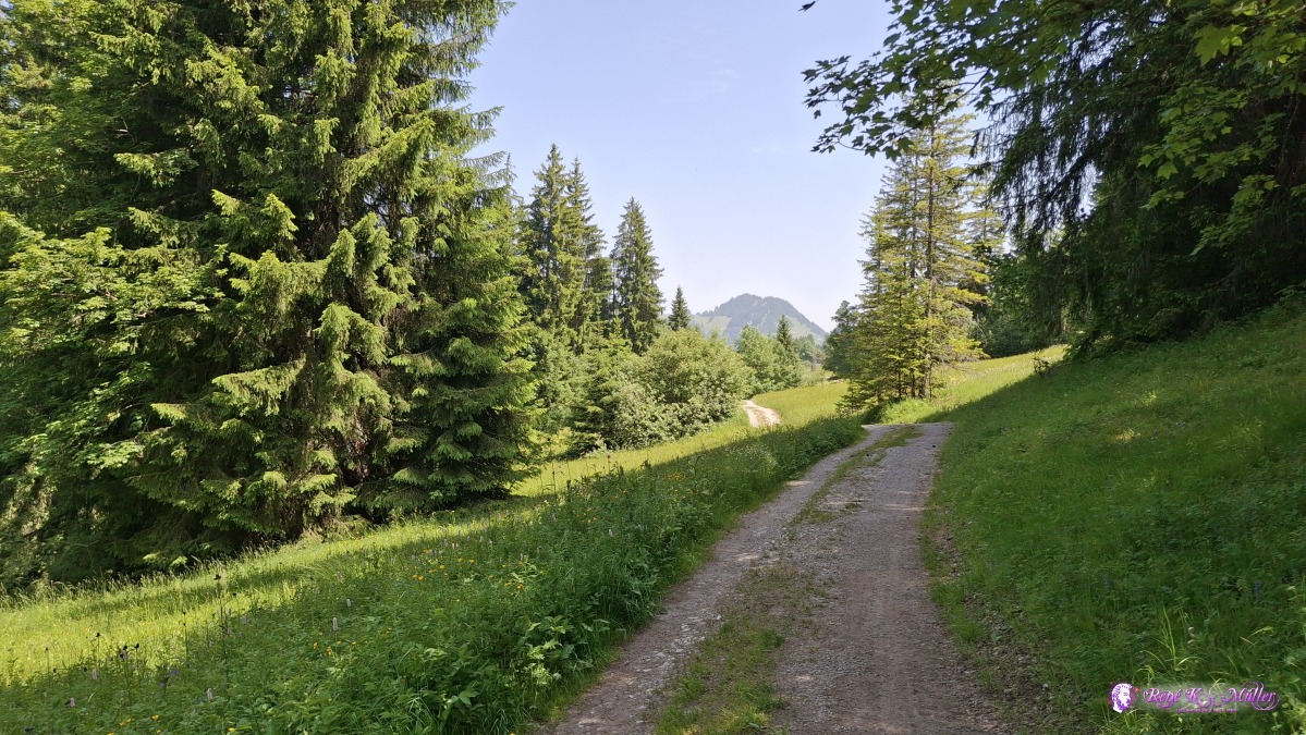 2025/06/13 11:54 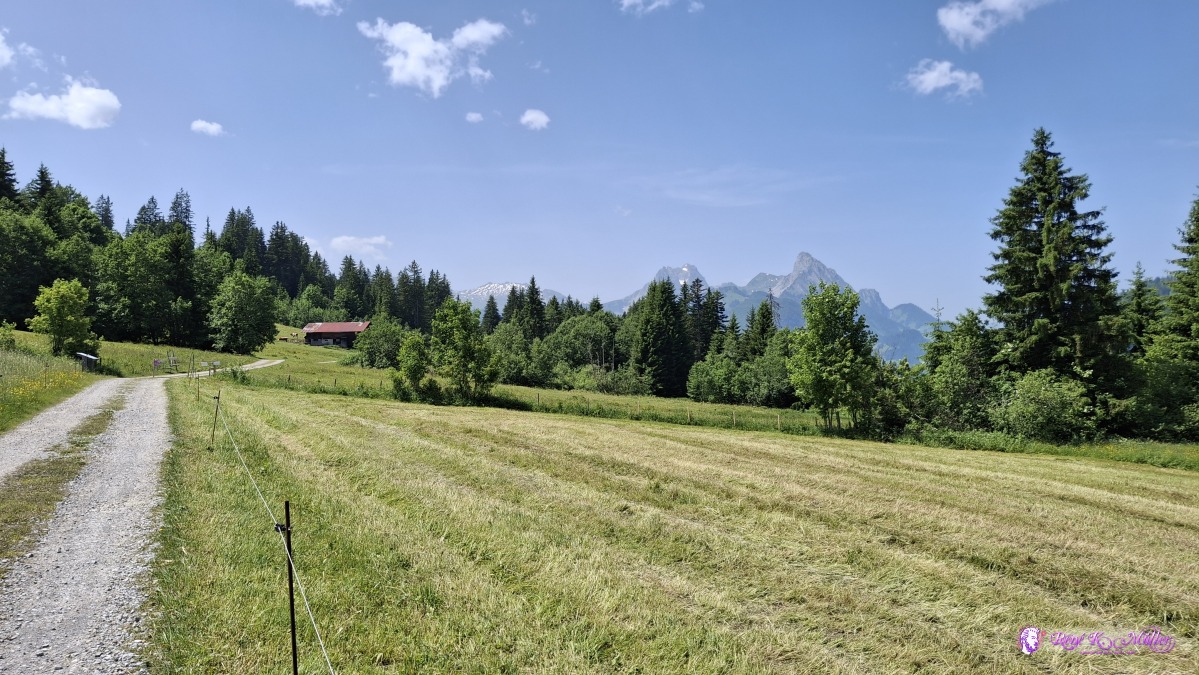 ◈ Saanenmöser (Δ 1389m), 2025/06/13 12:01 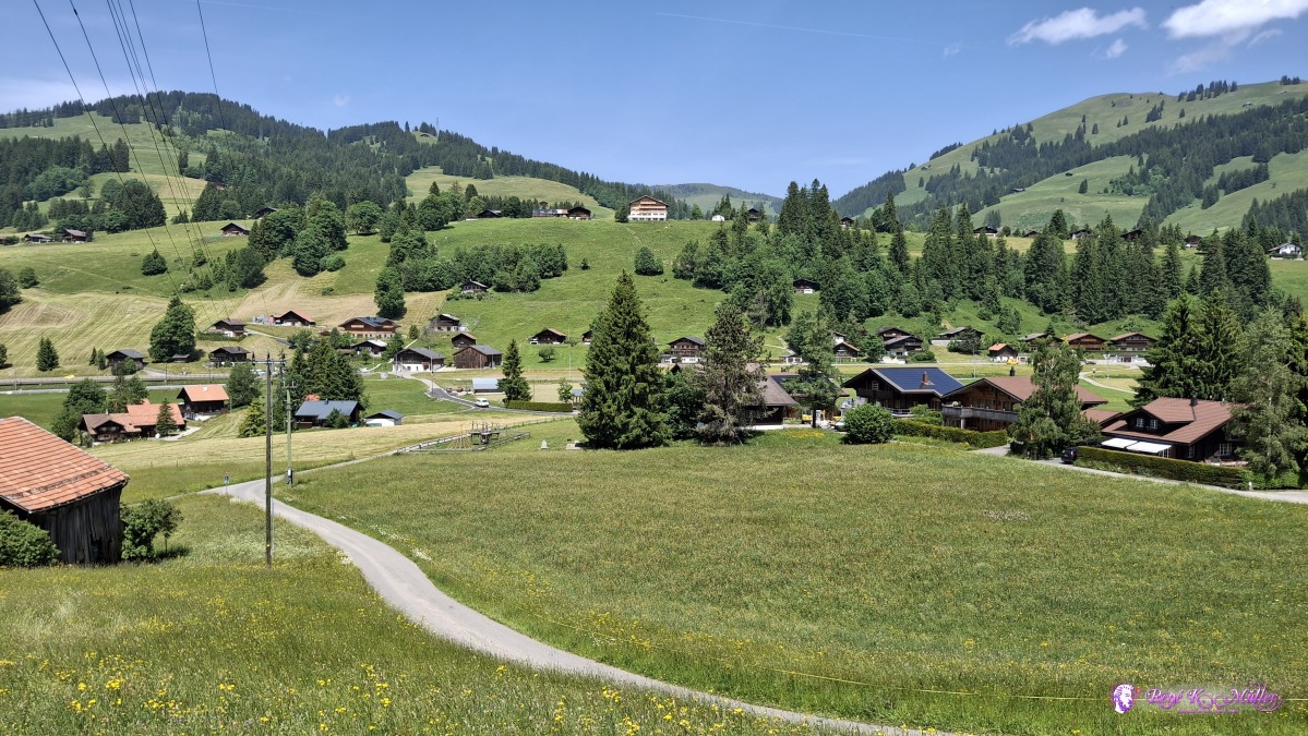 2025/06/13 12:09 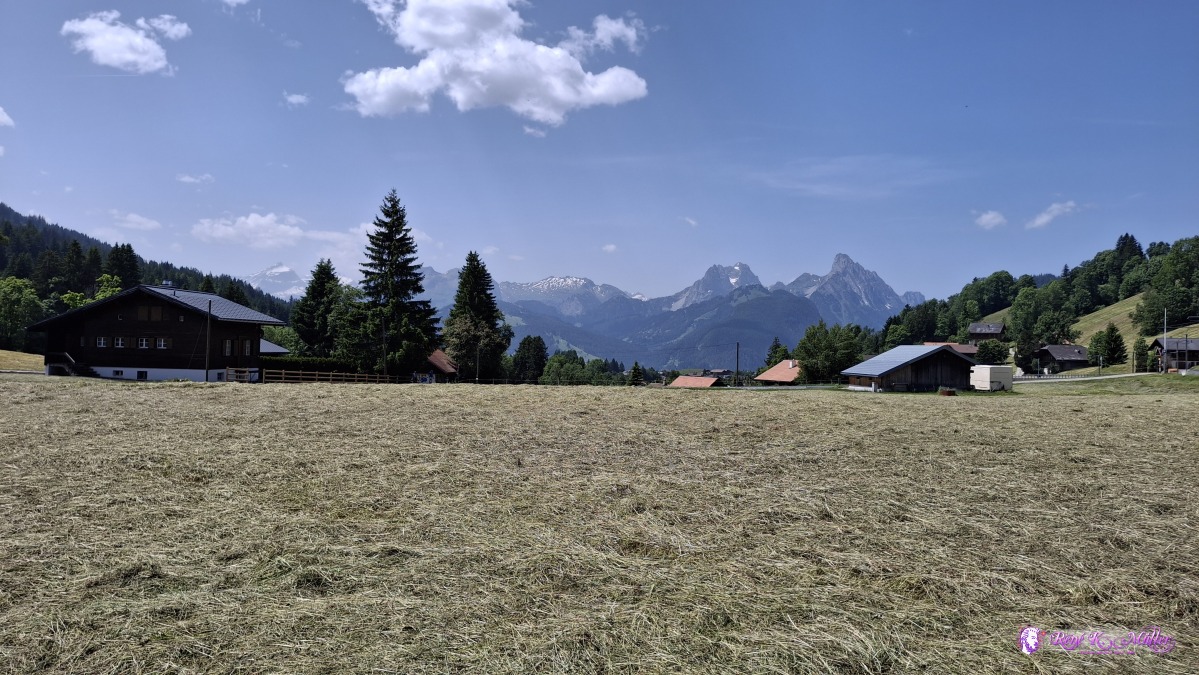 ◈ Saanenmöser (Δ 1322m), 2025/06/13 12:15 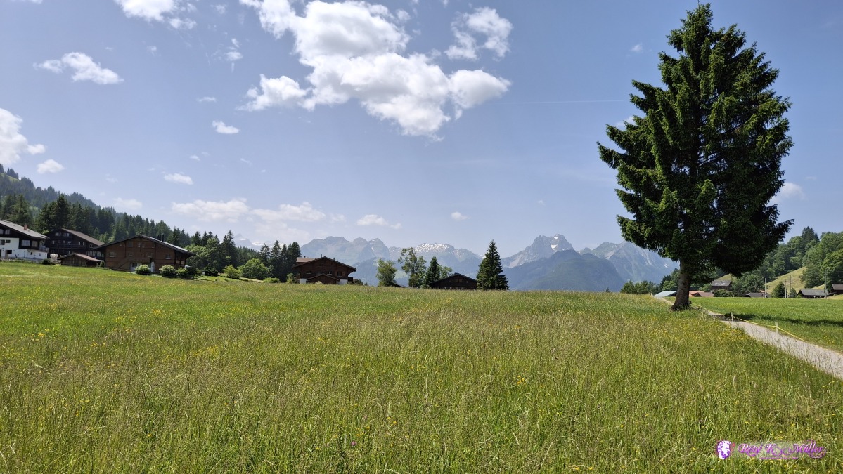 ◈ Saanenmöser (Δ 1311m), 2025/06/13 12:17 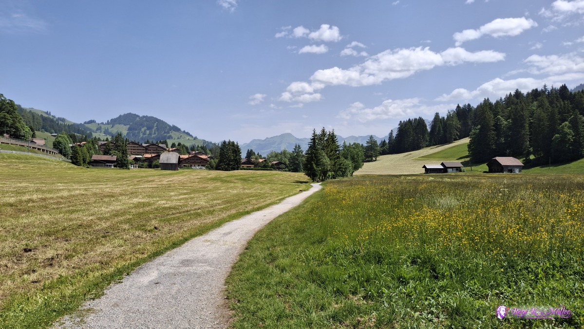 ◈ Saanenmöser (Δ 1316m), 2025/06/13 12:20 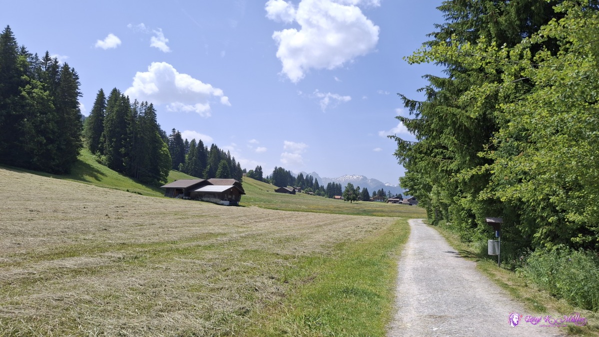 ◈ Saanenmöser (Δ 1310m), 2025/06/13 12:25 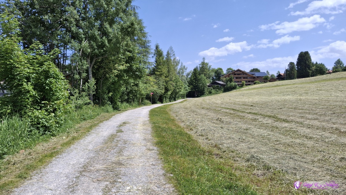 ◈ Saanenmöser (Δ 1313m), 2025/06/13 12:25 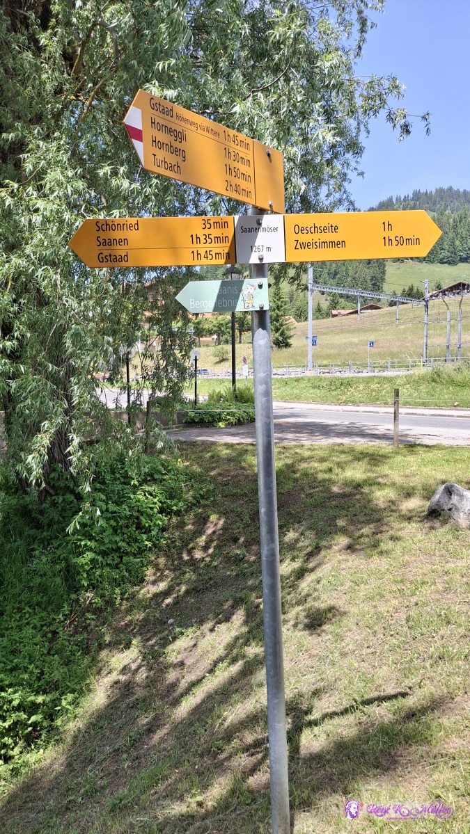 ◈ Saanenmöser (Δ 1317m), 2025/06/13 12:28 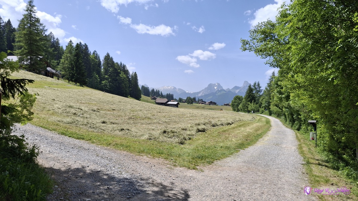 ◈ Saanenmöser (Δ 1321m), 2025/06/13 12:28 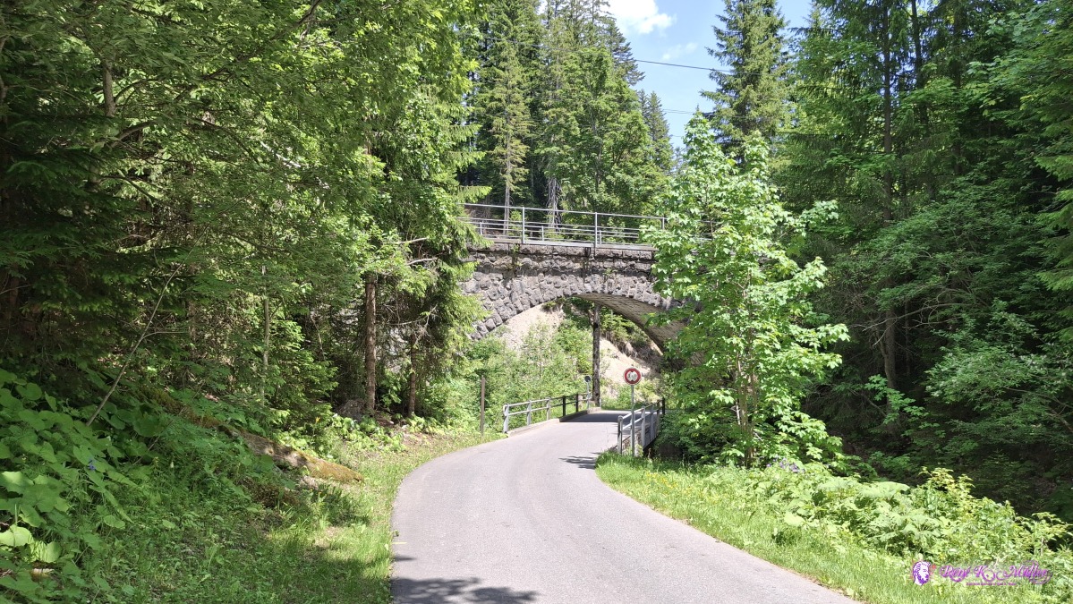 ◈ Saanenmöser (Δ 1318m), 2025/06/13 12:36 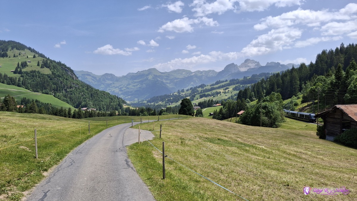 ◈ Saanenmöser (Δ 1321m), 2025/06/13 12:44 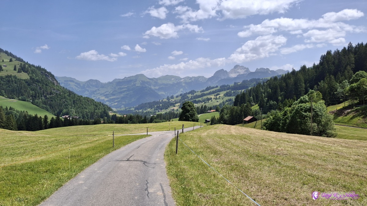 ◈ Saanenmöser (Δ 1315m), 2025/06/13 12:44 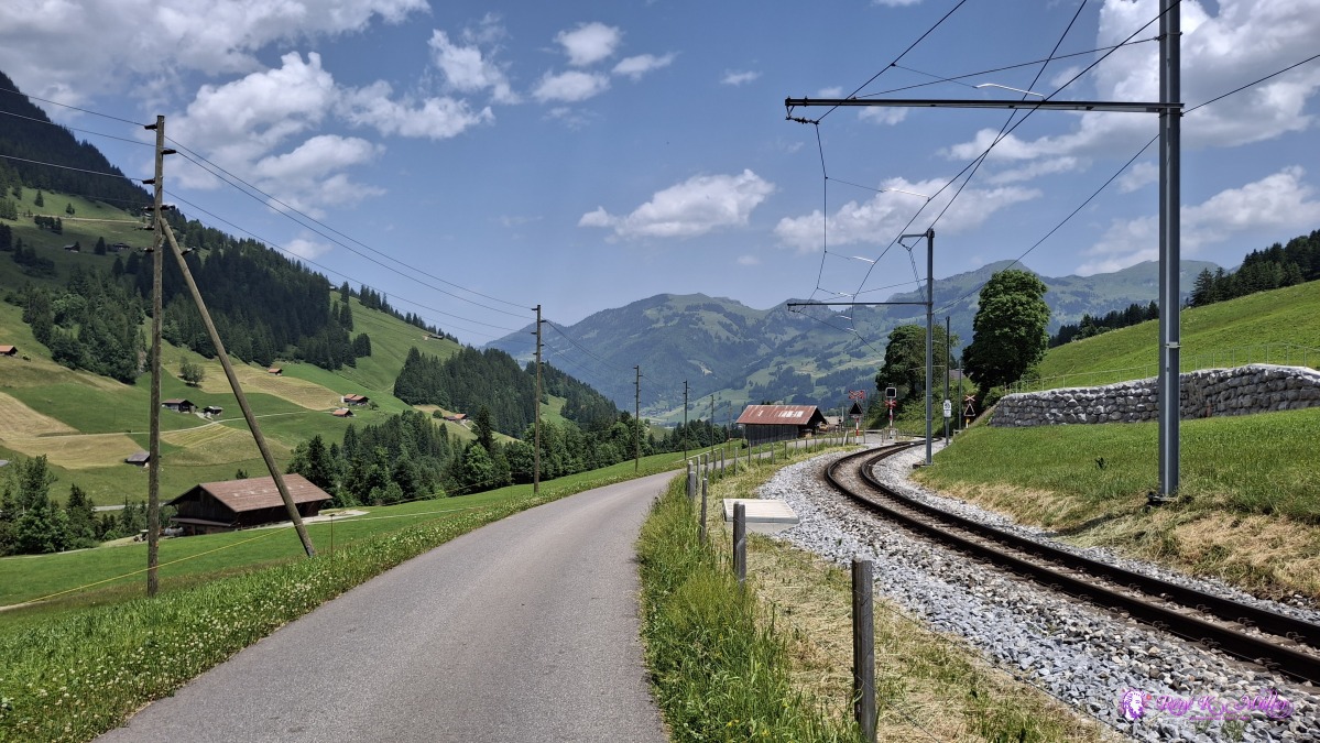 2025/06/13 13:20 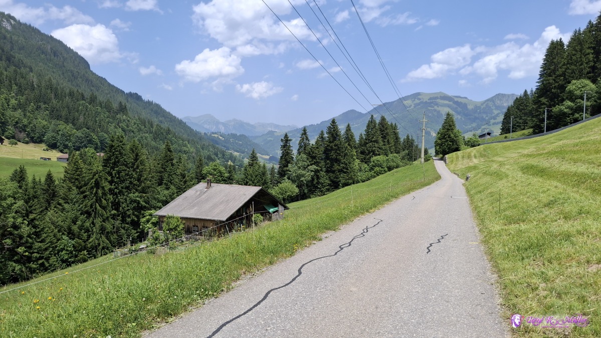 2025/06/13 13:46 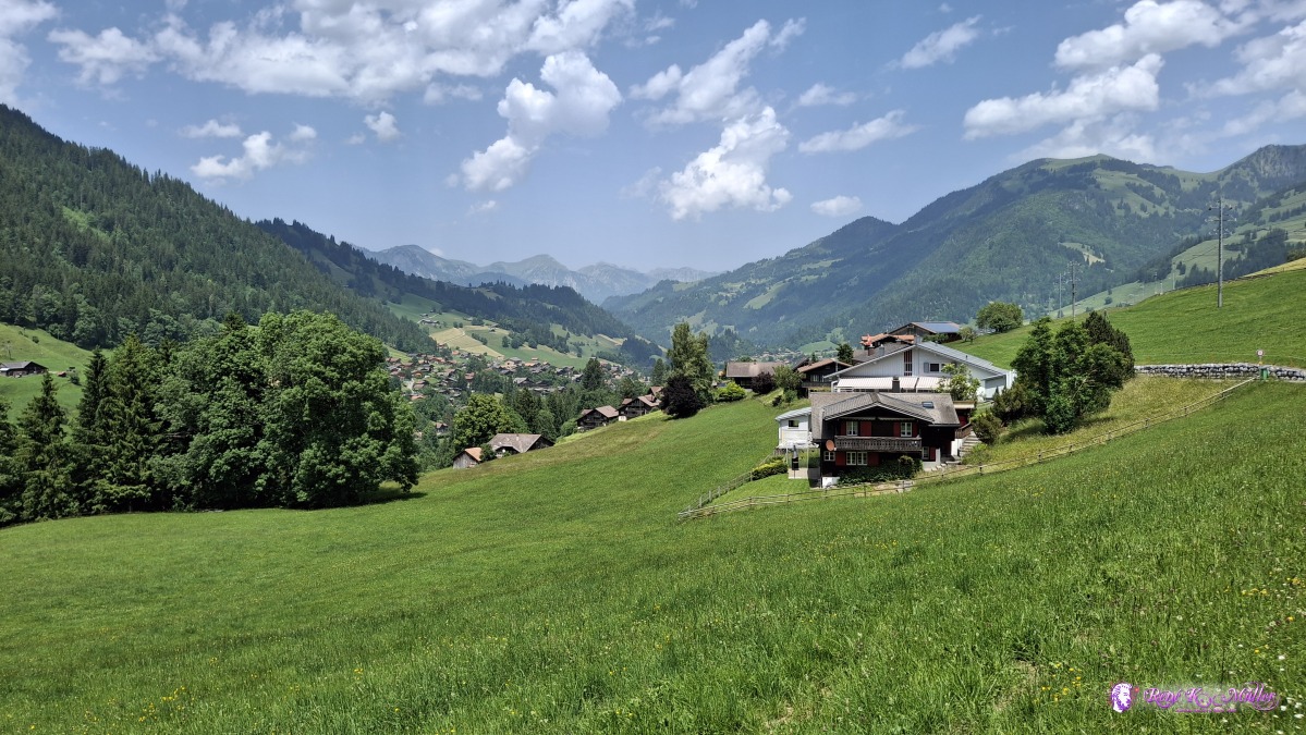 2025/06/13 13:59 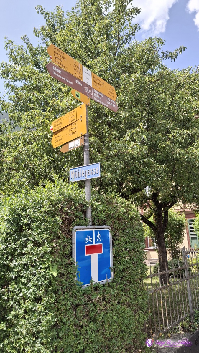 ◈ Blankenburg (Δ 1009m), 2025/06/13 14:17 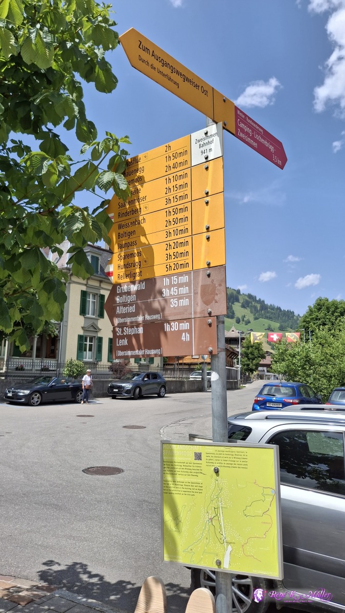 ◈ Stalde, Mannried (Δ 993m), 2025/06/13 14:24 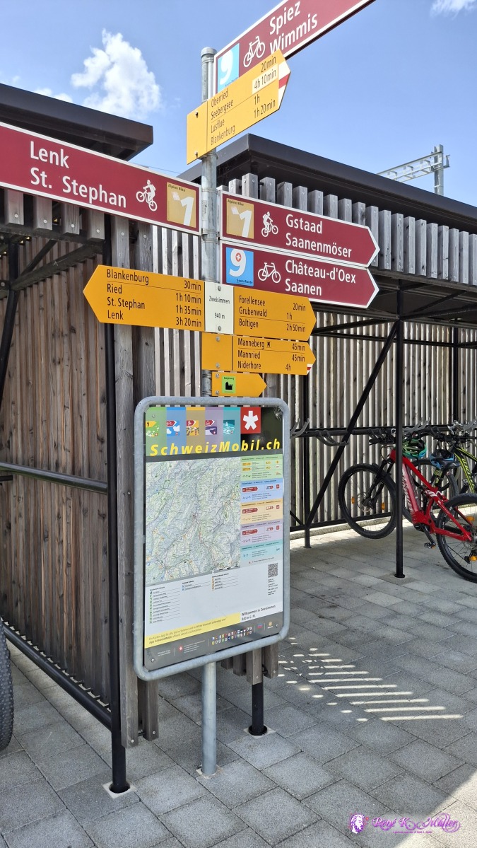 ◈ Stalde, Mannried (Δ 1003m), 2025/06/13 14:27 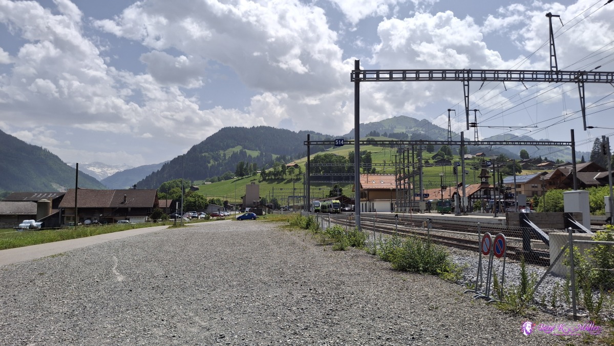 ◈ Stalde, Mannried (Δ 1008m), 2025/06/13 14:30 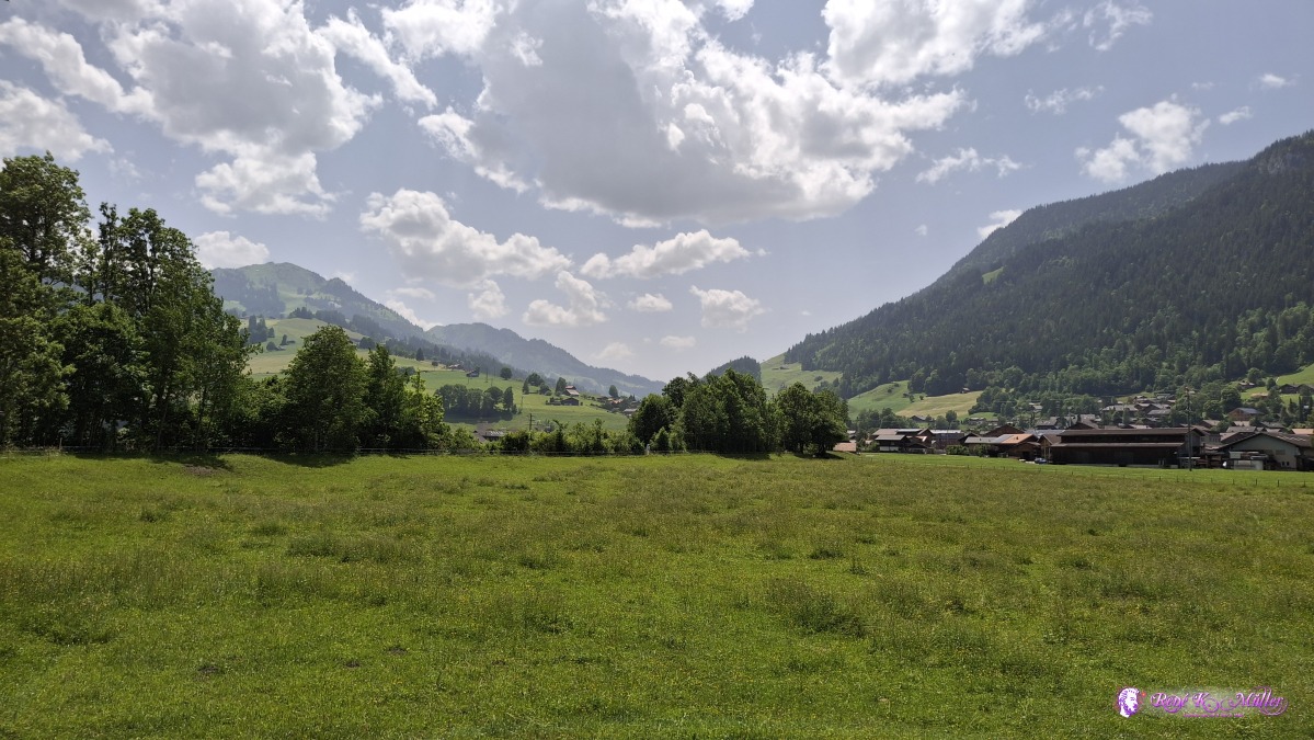 2025/06/13 14:39 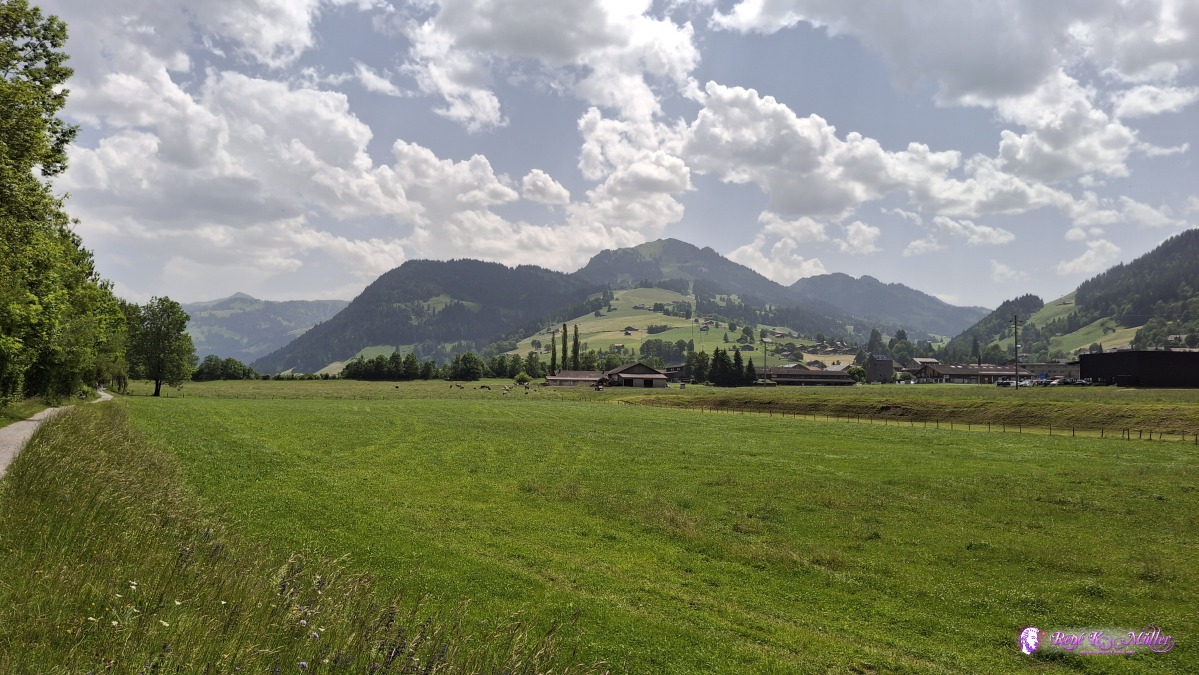 ◈ Stalde, Mannried (Δ 979m), 2025/06/13 14:44 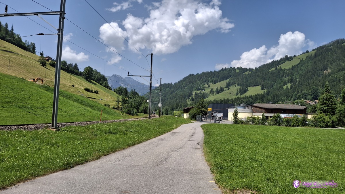 2025/06/13 15:11 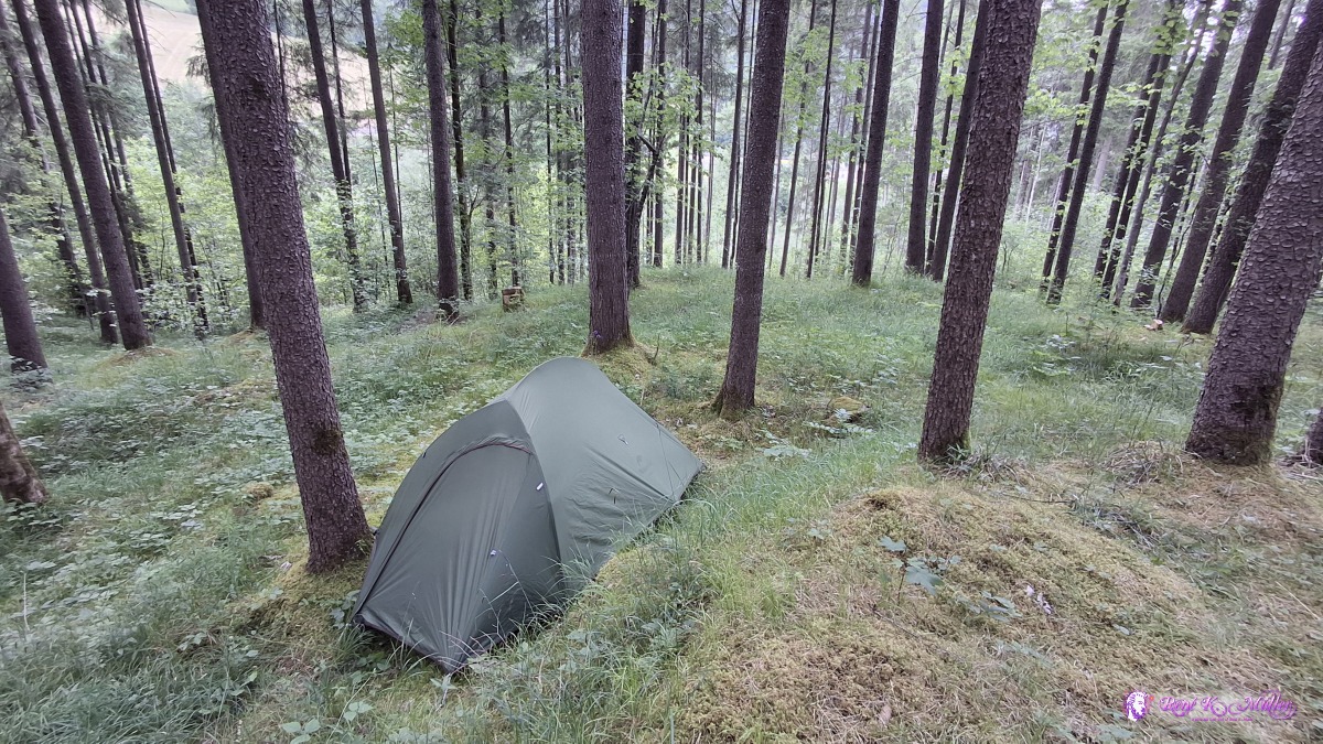 2025/06/13 15:57 Some distances:
Saturday 2025/06/14: Grubenwald - WimmisLeaving 8:00 after good sleep, and the rain cooled the air - reaching Boltingen soon, and further to Erlenbach - the hiking path kind of lingers away from the river Simme, when realize I might end the hike today as I'm close to Wimmis, the destination of this hike and eventually around 17:00 I reach Wimmis - a long day though, ~9hr hiking.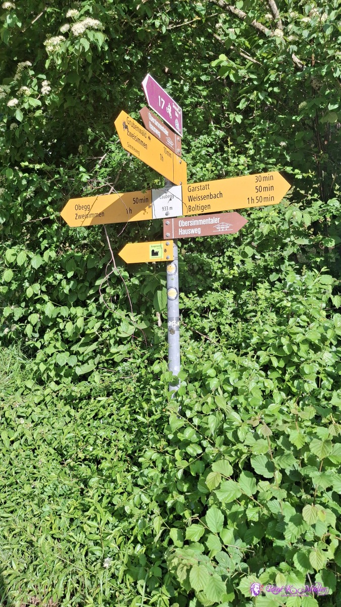 ◈ Hofmatte, Grubenwald (Δ 1001m), 2025/06/14 08:09 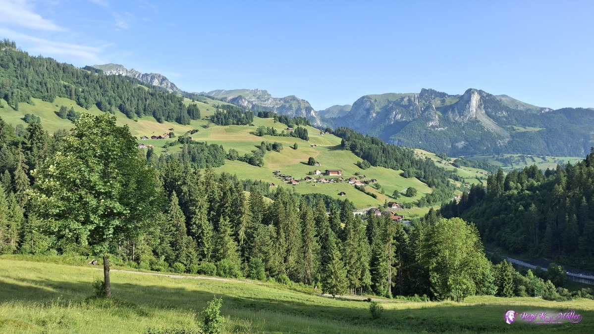 ◈ Boltigen (Δ 998m), 2025/06/14 08:18 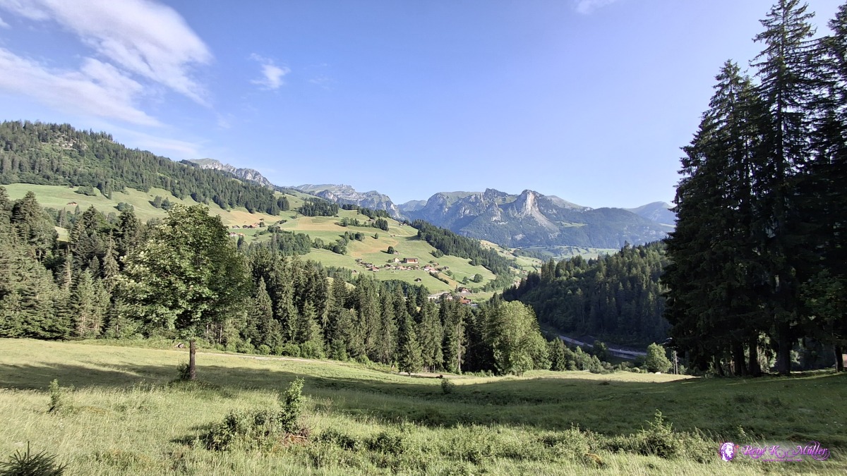 ◈ Boltigen (Δ 1000m), 2025/06/14 08:18 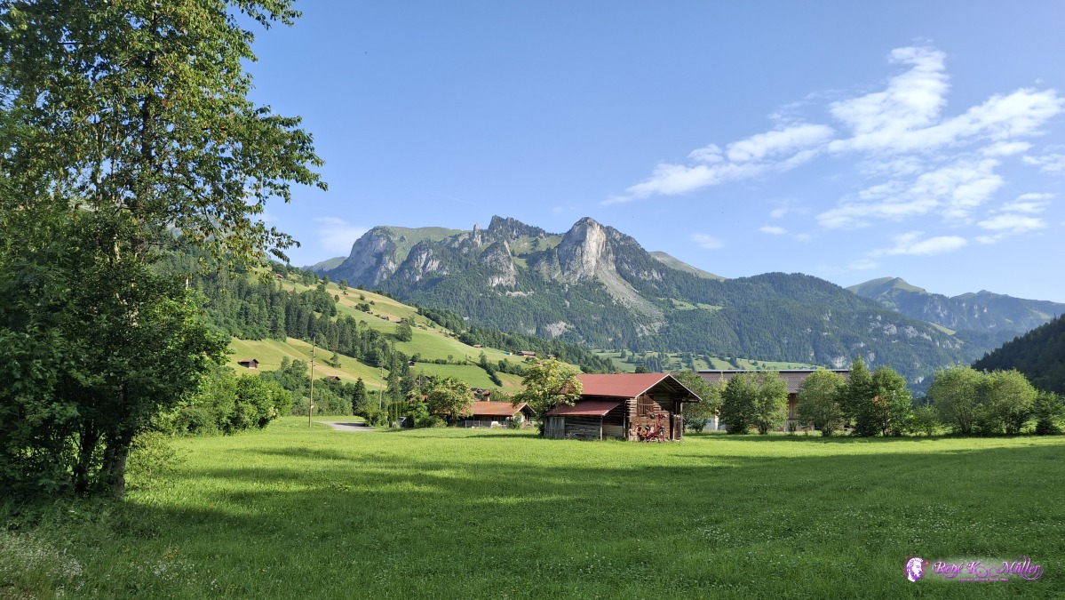 2025/06/14 08:44 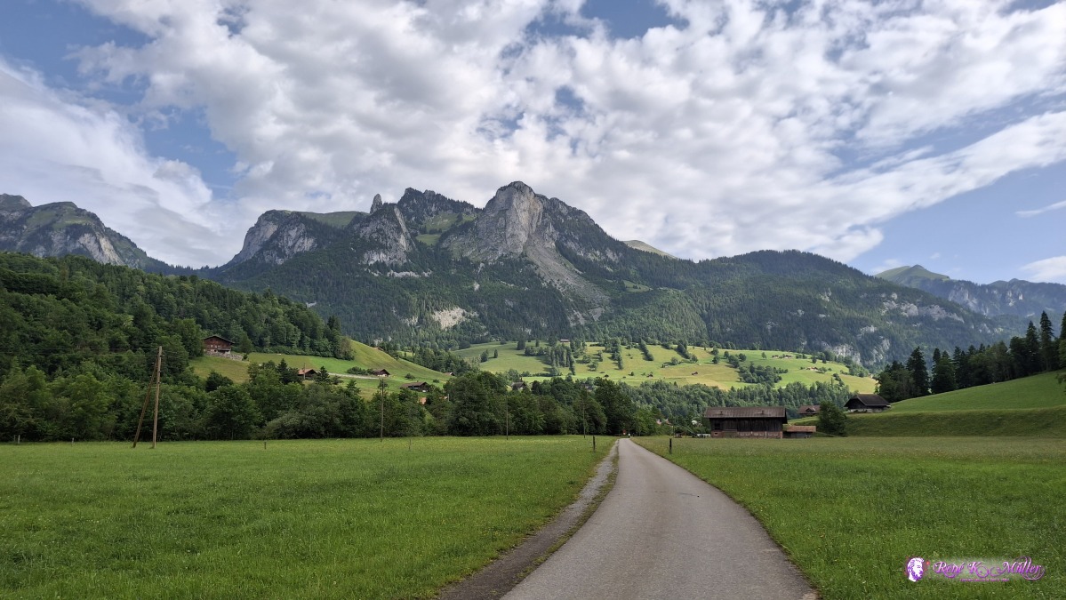 ◈ Gand, Weissenbach (Δ 886m), 2025/06/14 09:00 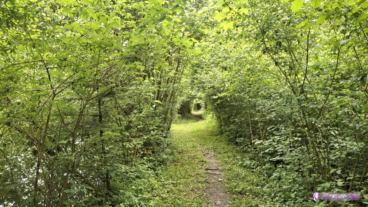 2025/06/14 09:15 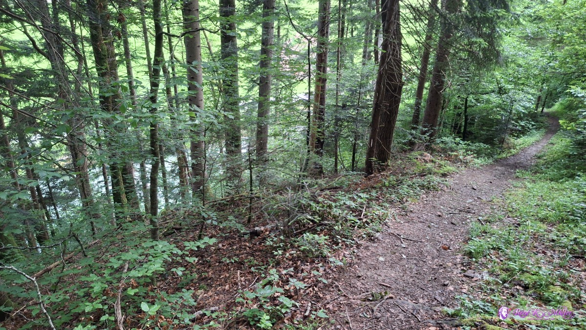 2025/06/14 09:27 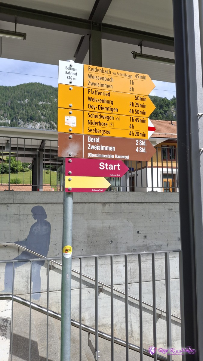 2025/06/14 10:01 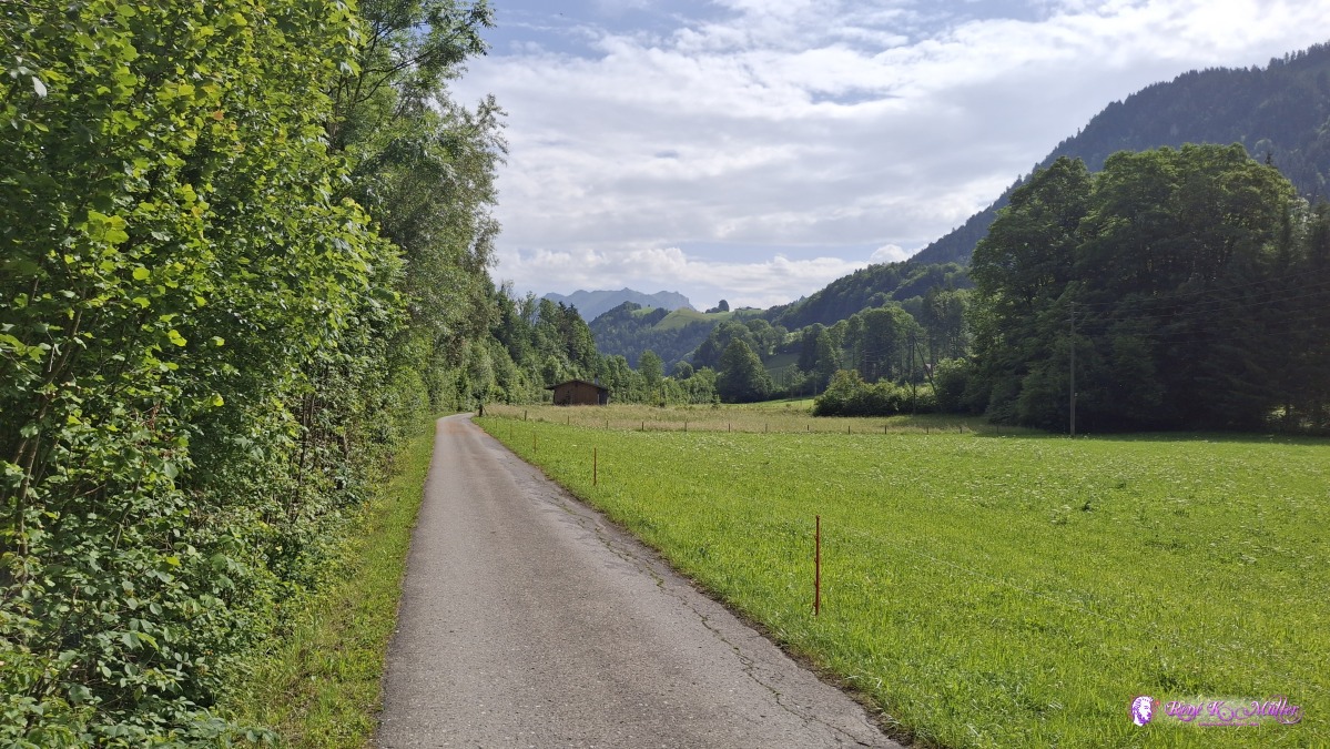 2025/06/14 10:15 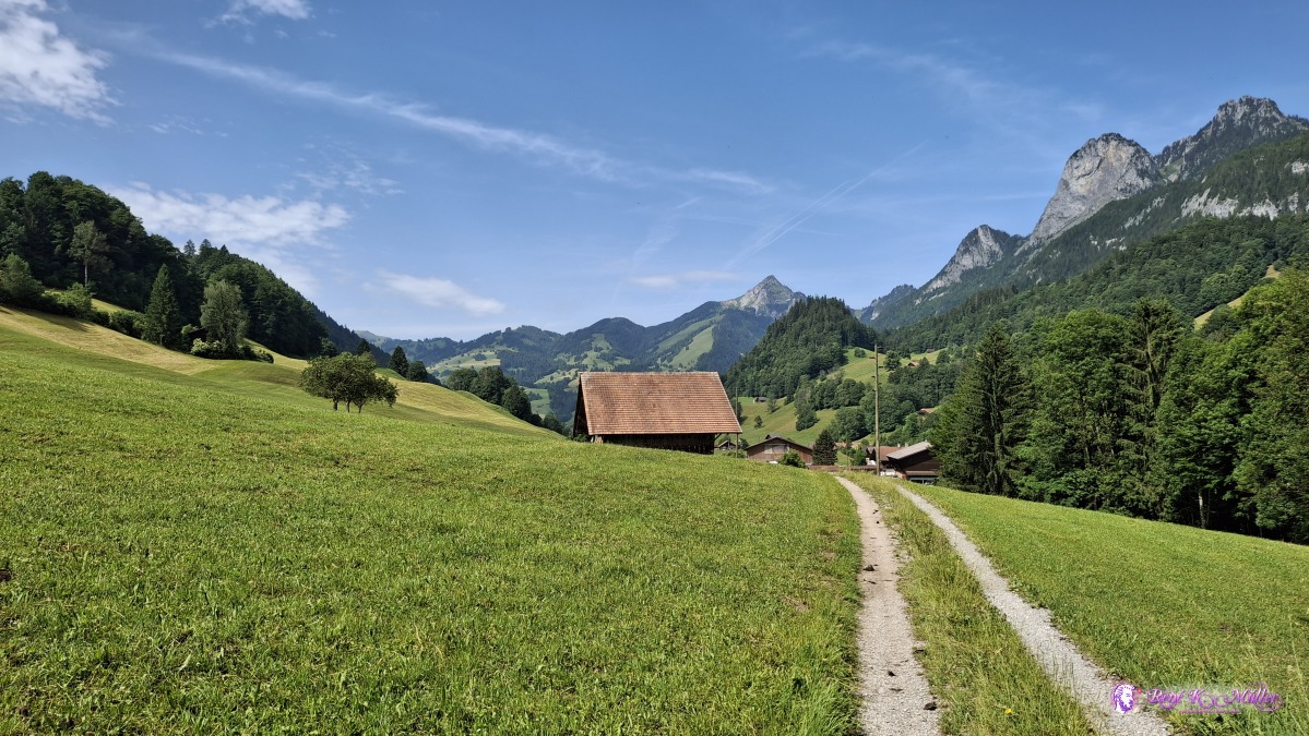 ◈ Adlemsried, Reidenbach (Δ 880m), 2025/06/14 10:39 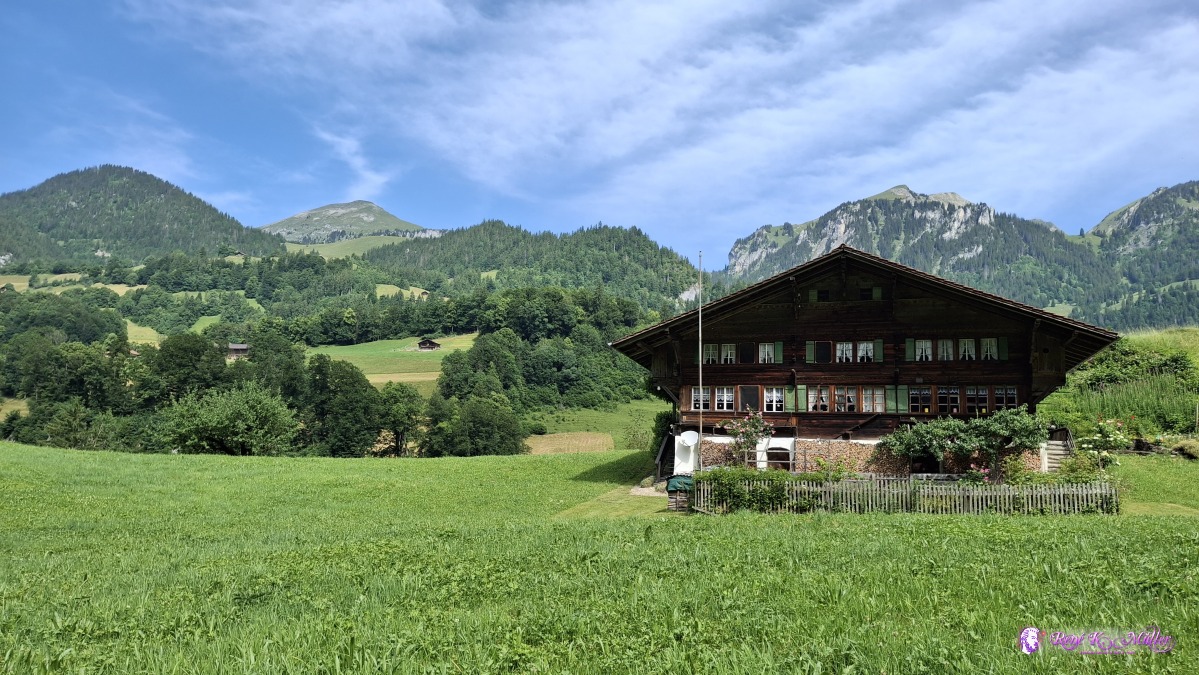 ◈ Pfaffenried, Oberwil im Simmental (Δ 893m), 2025/06/14 10:41 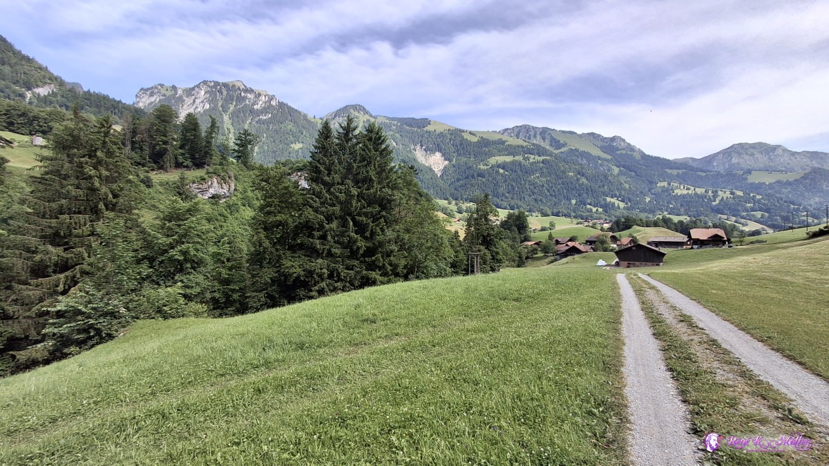 ◈ Pfaffenried, Oberwil im Simmental (Δ 878m), 2025/06/14 10:44 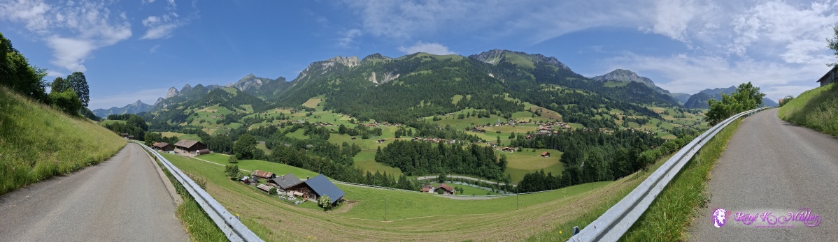 ◈ Oberwil im Simmental (Δ 950m), 2025/06/14 11:34 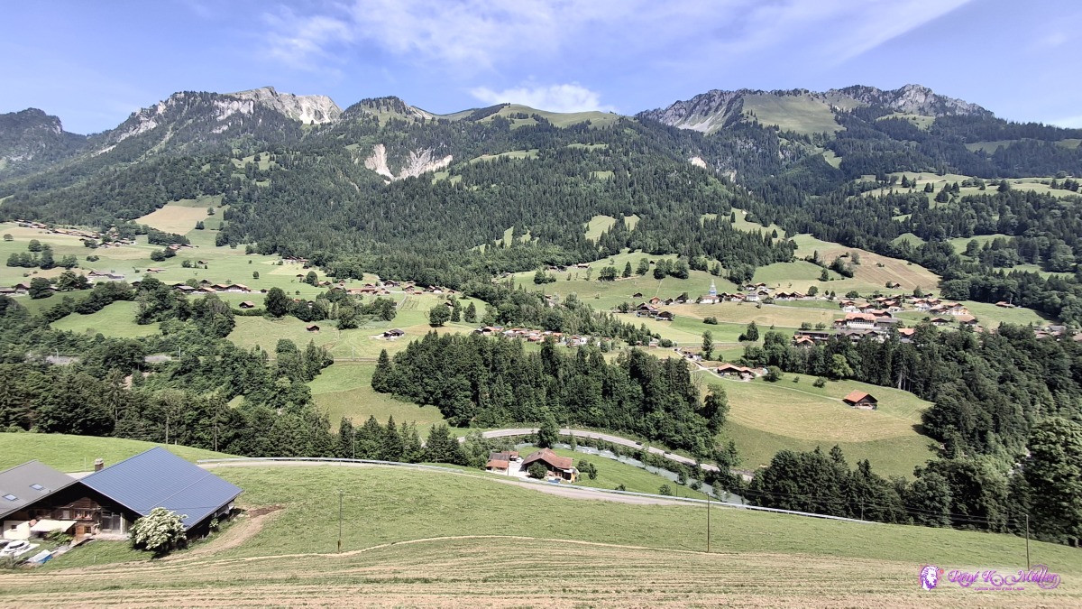 ◈ Oberwil im Simmental (Δ 940m), 2025/06/14 11:35 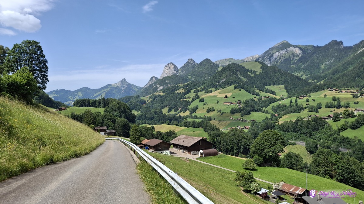 ◈ Oberwil im Simmental (Δ 940m), 2025/06/14 11:35 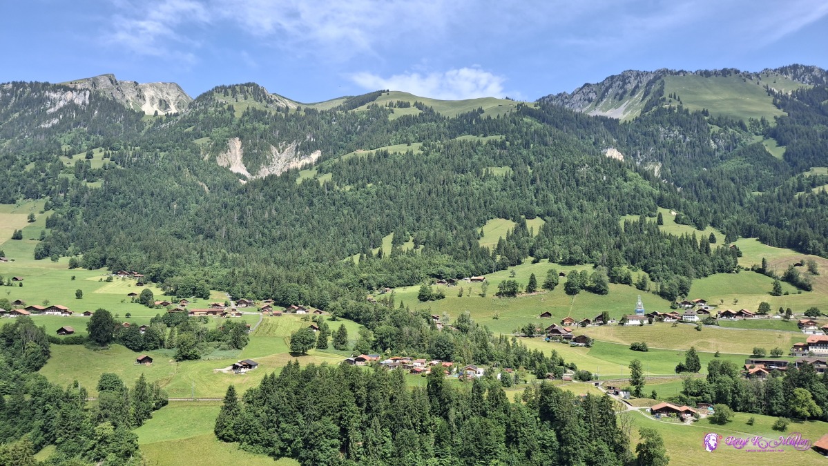 ◈ Oberwil im Simmental (Δ 940m), 2025/06/14 11:35 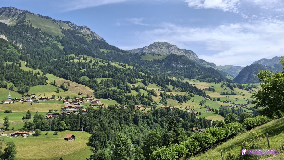 ◈ Oberwil im Simmental (Δ 940m), 2025/06/14 11:35 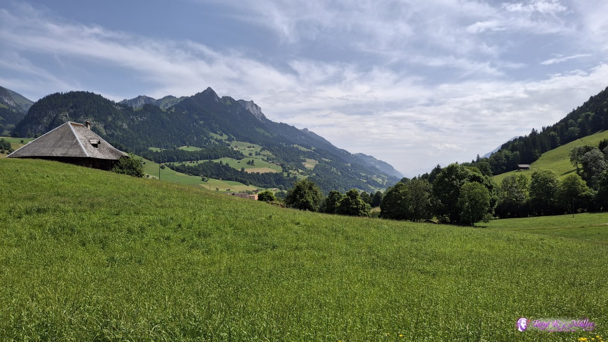 ◈ Oberwil im Simmental (Δ 940m), 2025/06/14 11:51 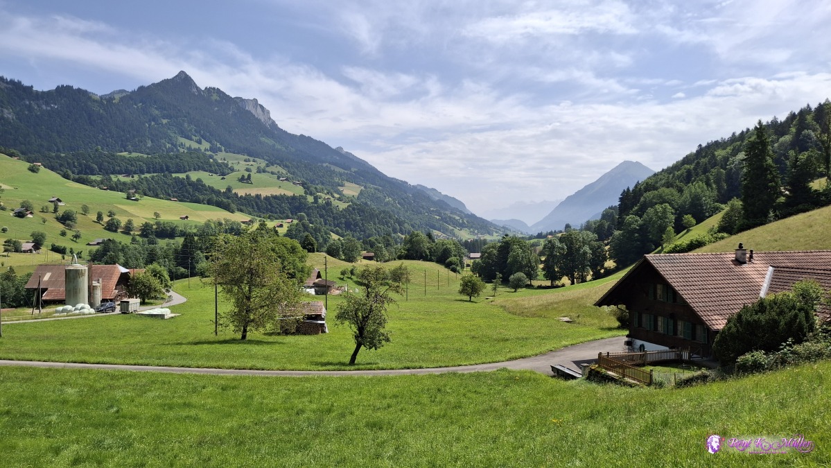 ◈ Bunschen, Oberwil im Simmental (Δ 883m), 2025/06/14 11:59 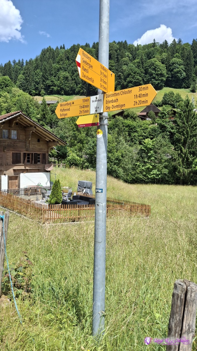 ◈ Oberwil im Simmental (Δ 788m), 2025/06/14 12:28 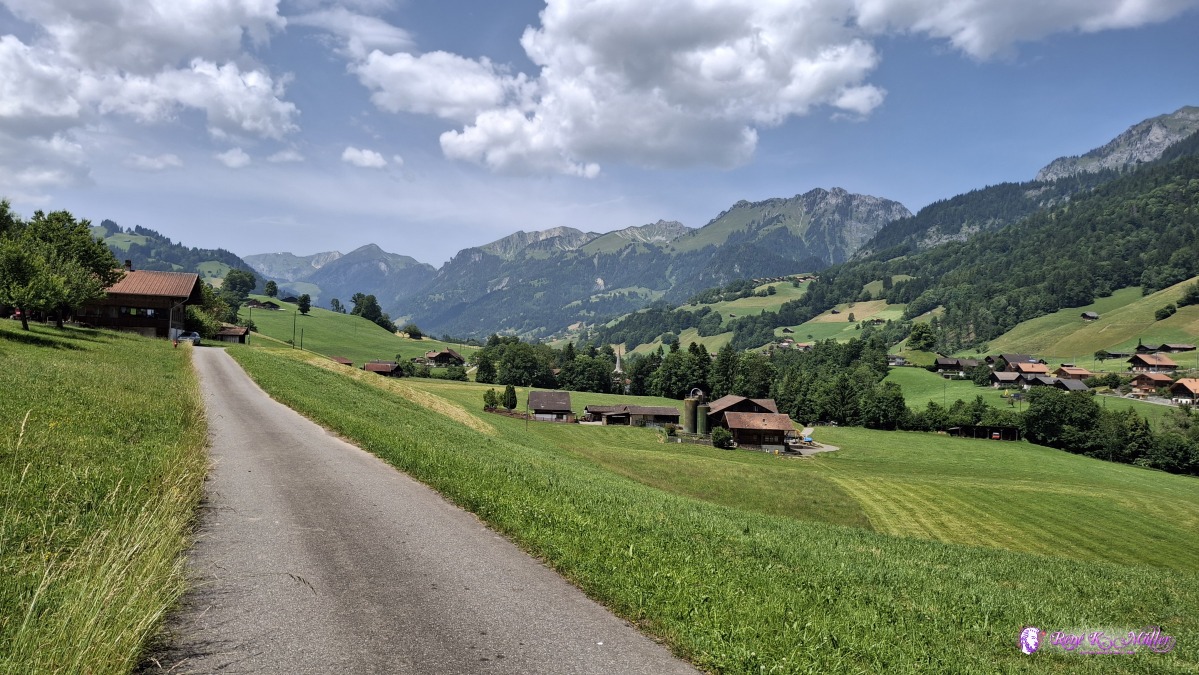 ◈ Egg, Wiler, Därstetten (Δ 803m), 2025/06/14 12:59  ◈ Egg, Wiler, Därstetten (Δ 798m), 2025/06/14 13:02 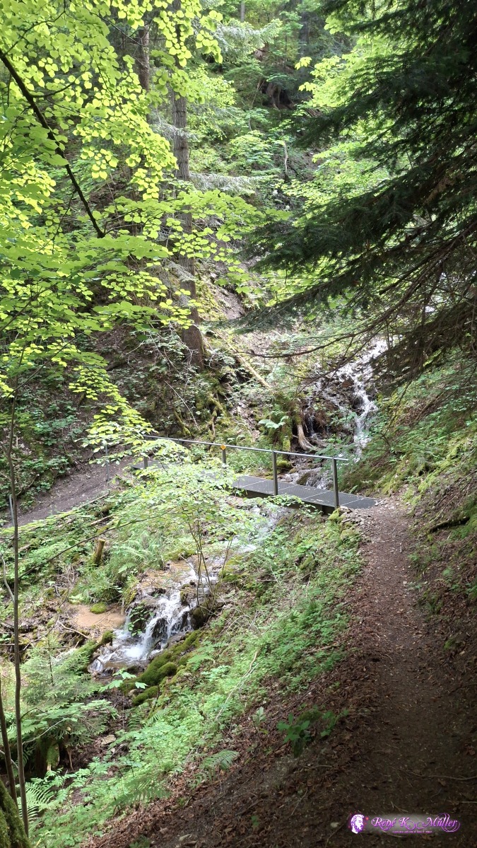 2025/06/14 13:54 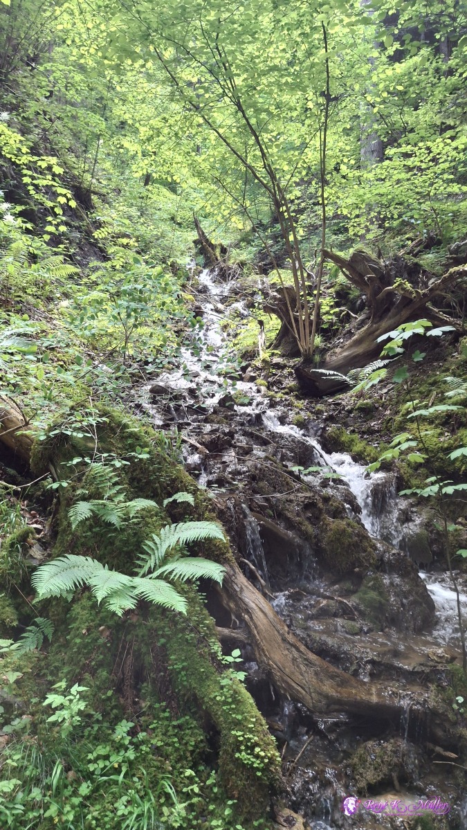 ◈ Wiler, Därstetten (Δ 793m), 2025/06/14 13:55 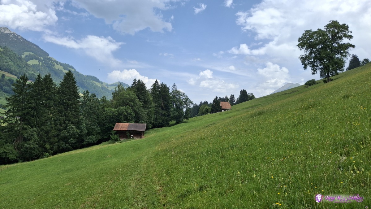 ◈ Wiler, Därstetten (Δ 793m), 2025/06/14 13:58 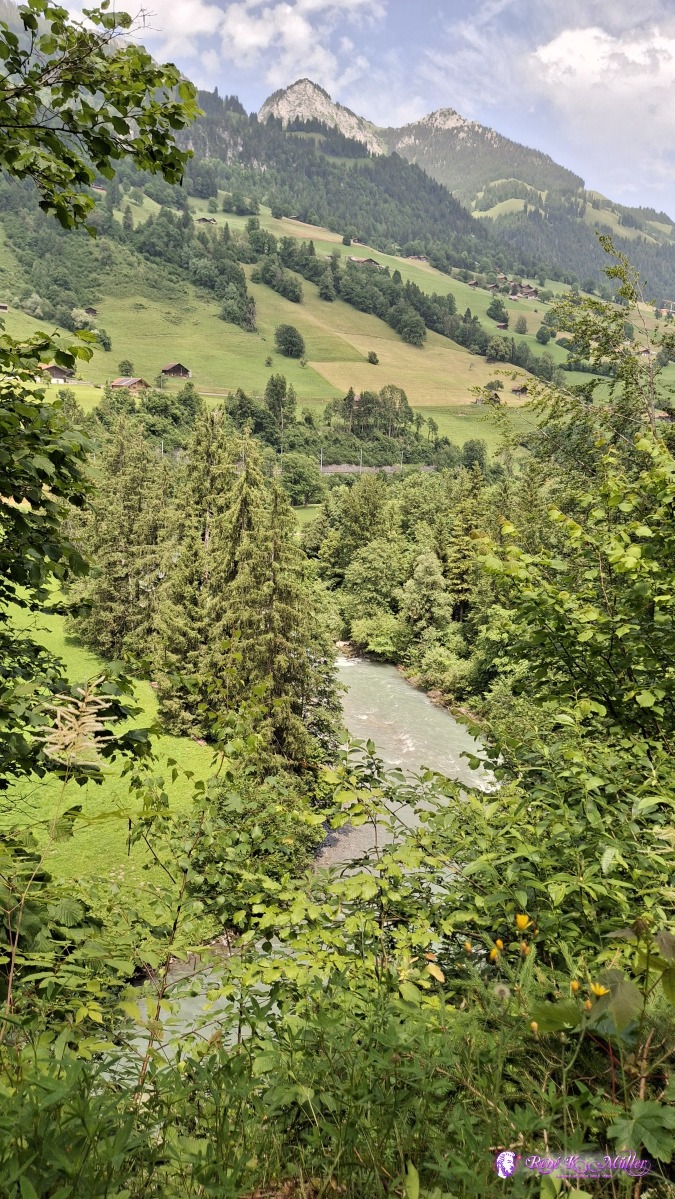 ◈ Ringoldingen, Erlenbach im Simmental (Δ 787m), 2025/06/14 14:08 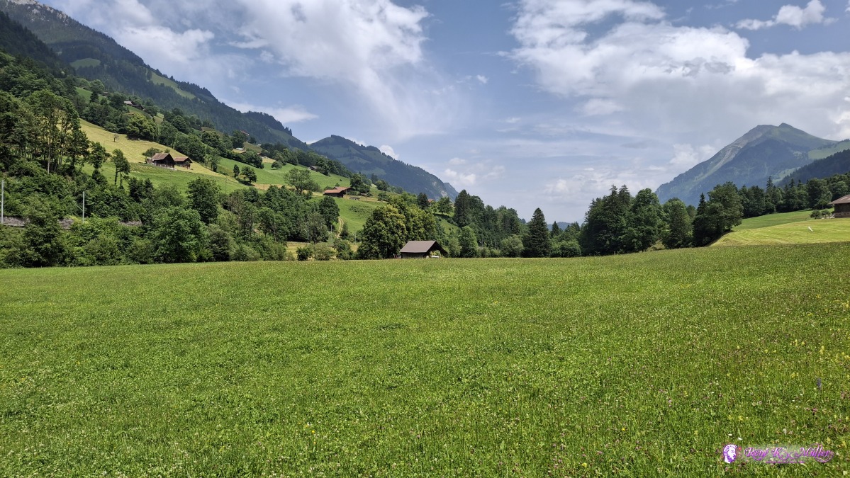 ◈ Pulvermatte, Seewlen, Erlenbach im Simmental (Δ 756m), 2025/06/14 14:13 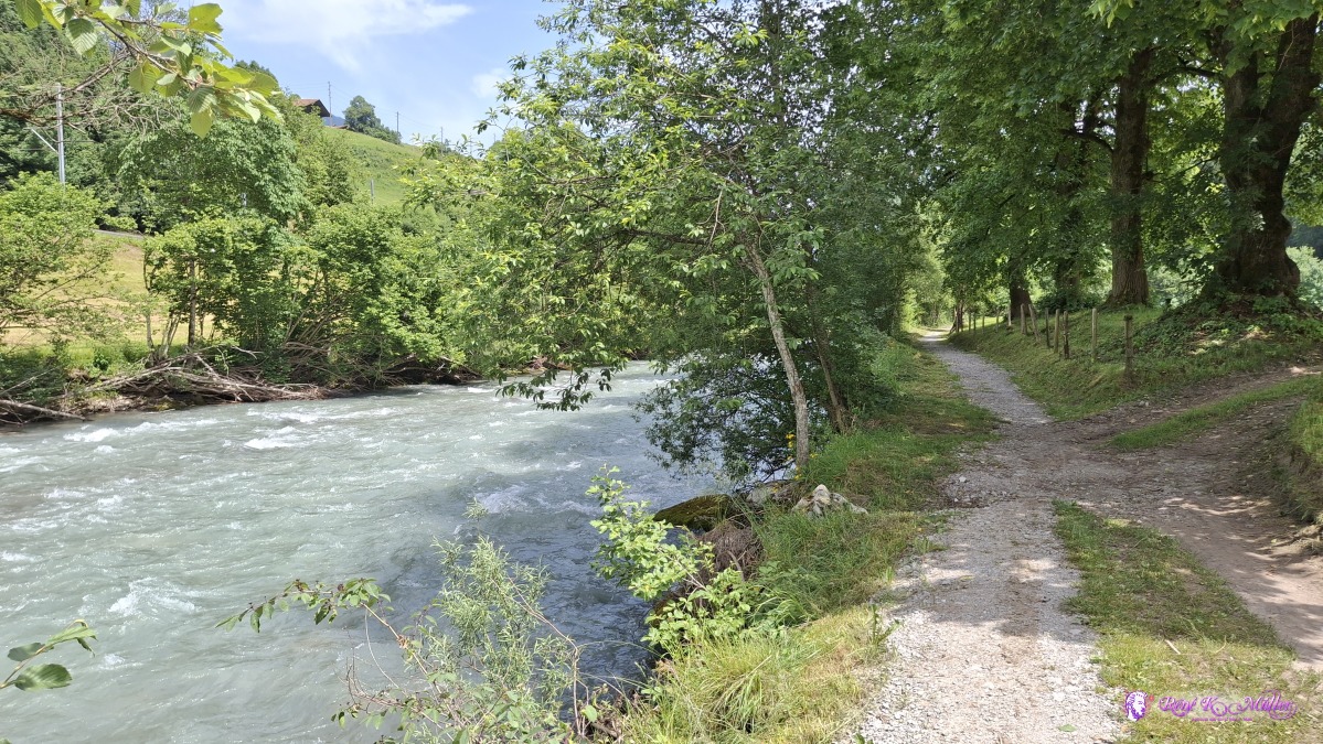 2025/06/14 14:18 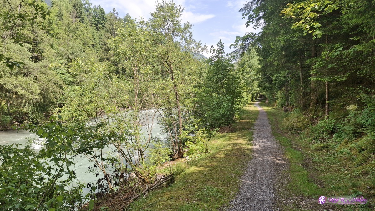 ◈ Thoracker, Erlenbach im Simmental (Δ 753m), 2025/06/14 14:23  ◈ Thoracker, Erlenbach im Simmental (Δ 737m), 2025/06/14 14:52 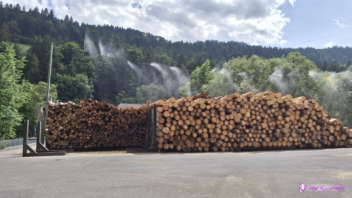 ◈ Pulvermatte, Erlenbach im Simmental (Δ 729m), 2025/06/14 15:08 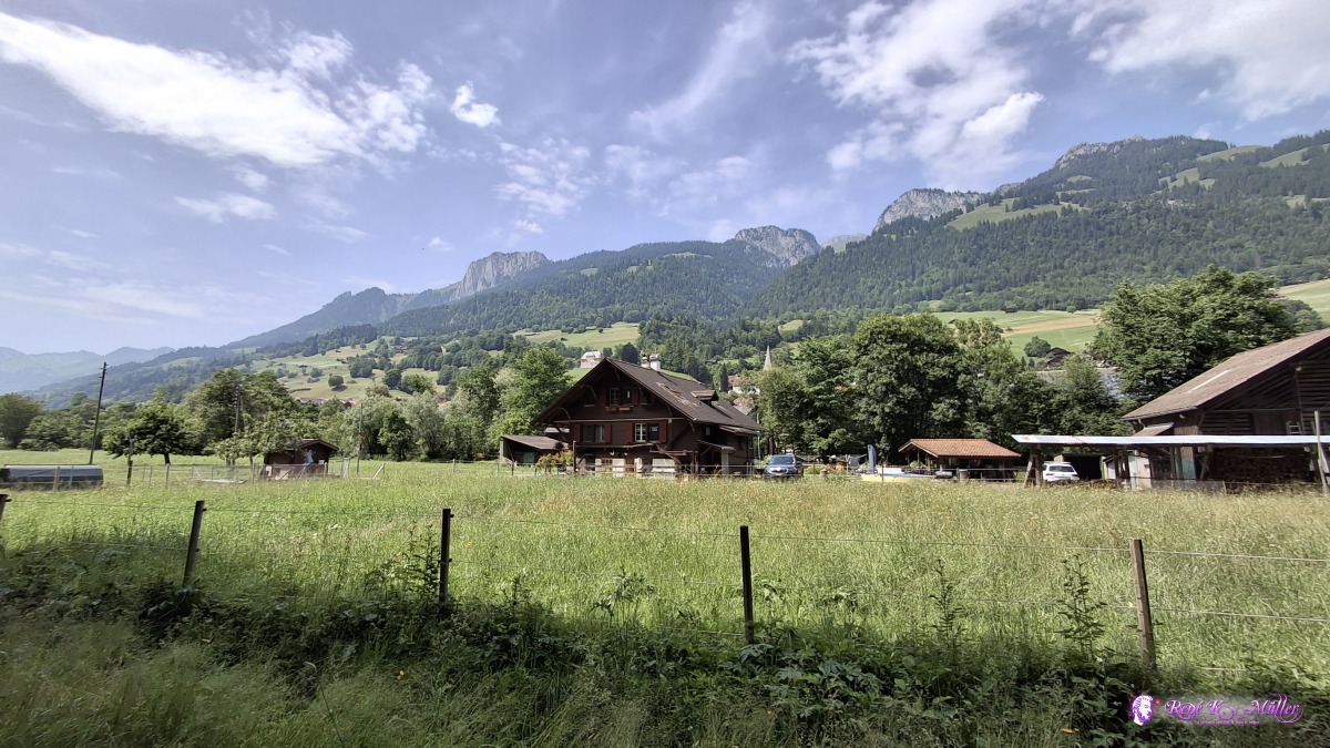 ◈ Thoracker, Latterbach (Δ 730m), 2025/06/14 15:11 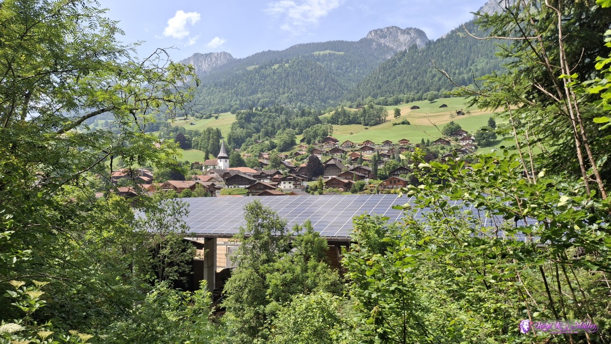 ◈ Thoracker, Latterbach (Δ 761m), 2025/06/14 15:14 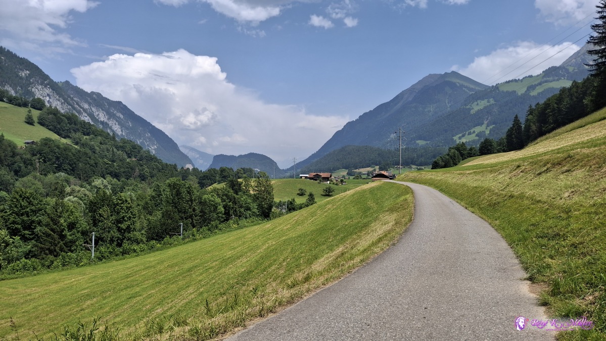 2025/06/14 15:19 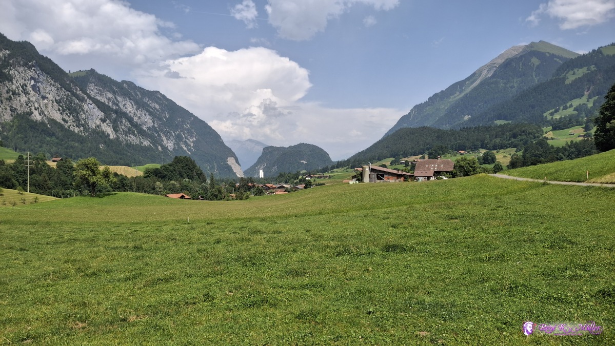 ◈ Wiler, Oey (Δ 753m), 2025/06/14 15:27 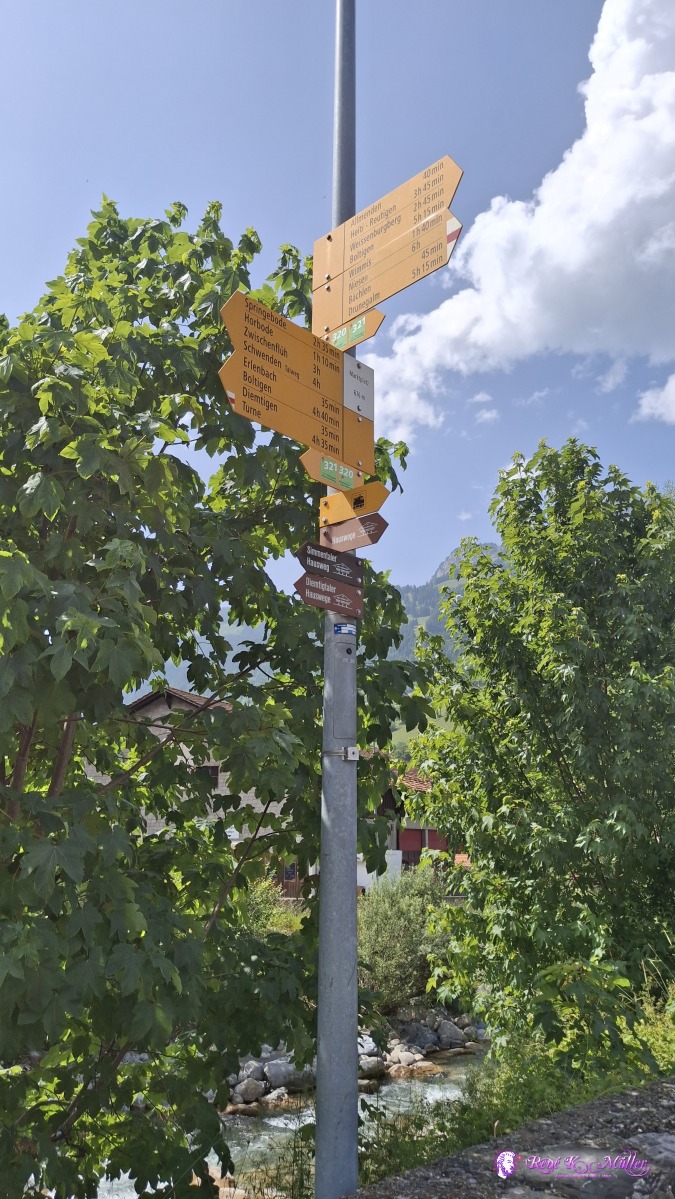 ◈ Wiler, Oey (Δ 732m), 2025/06/14 15:43 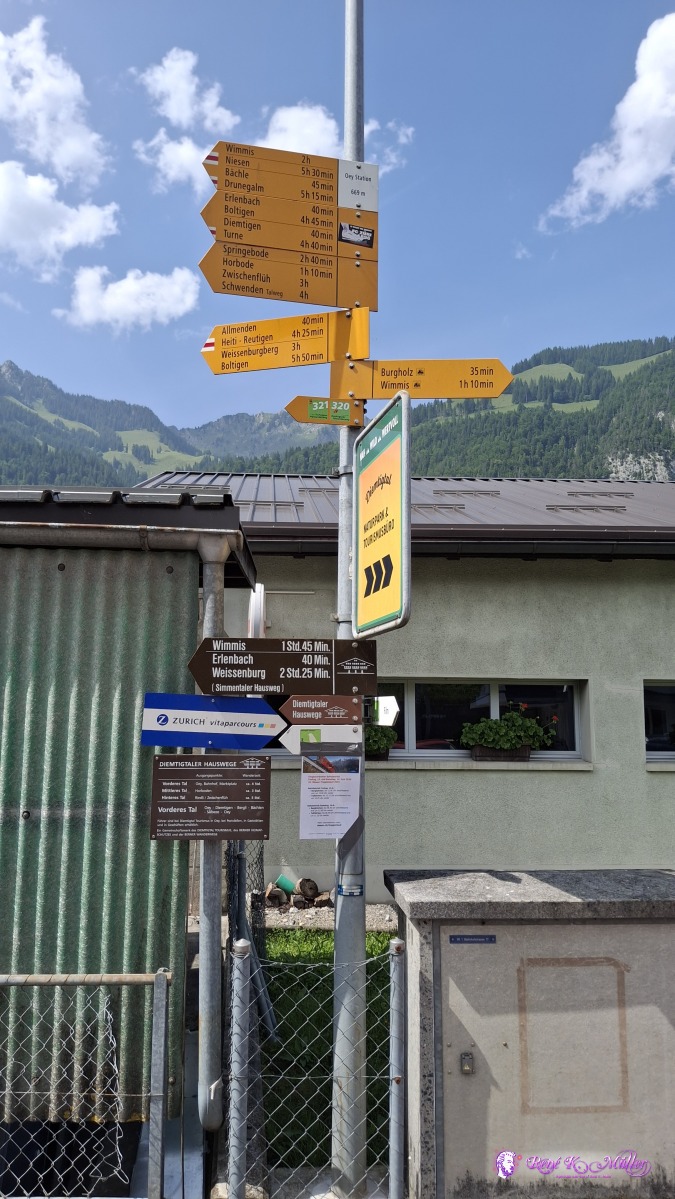 ◈ Wiler, Oey (Δ 722m), 2025/06/14 15:52 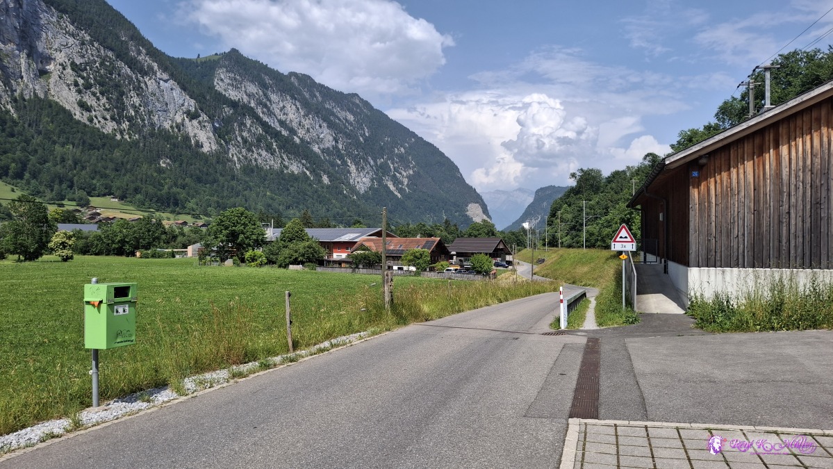 ◈ Oey (Δ 727m), 2025/06/14 15:54 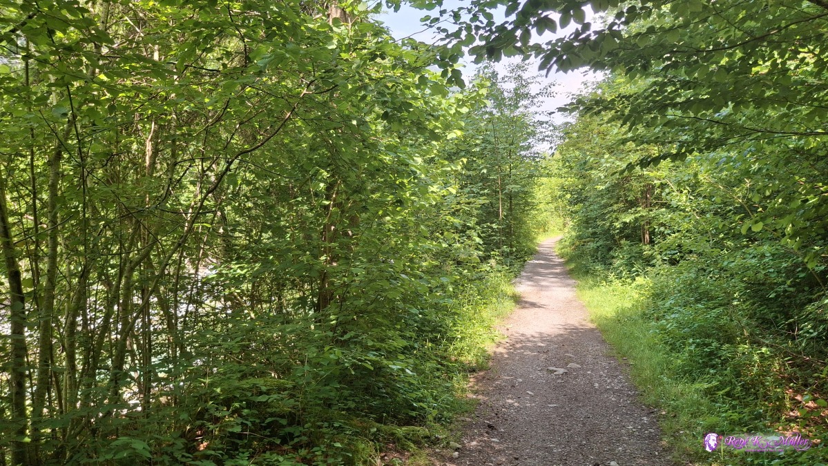 ◈ Zünegg, Oey (Δ 713m), 2025/06/14 16:15 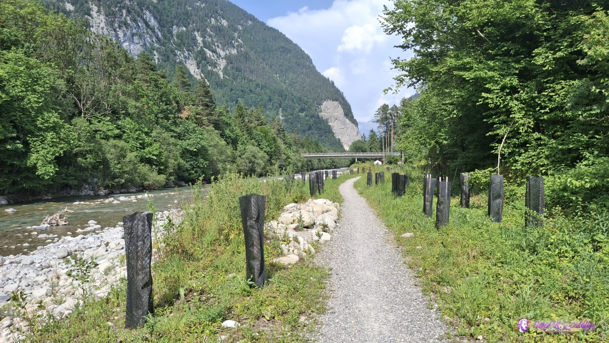 2025/06/14 16:26 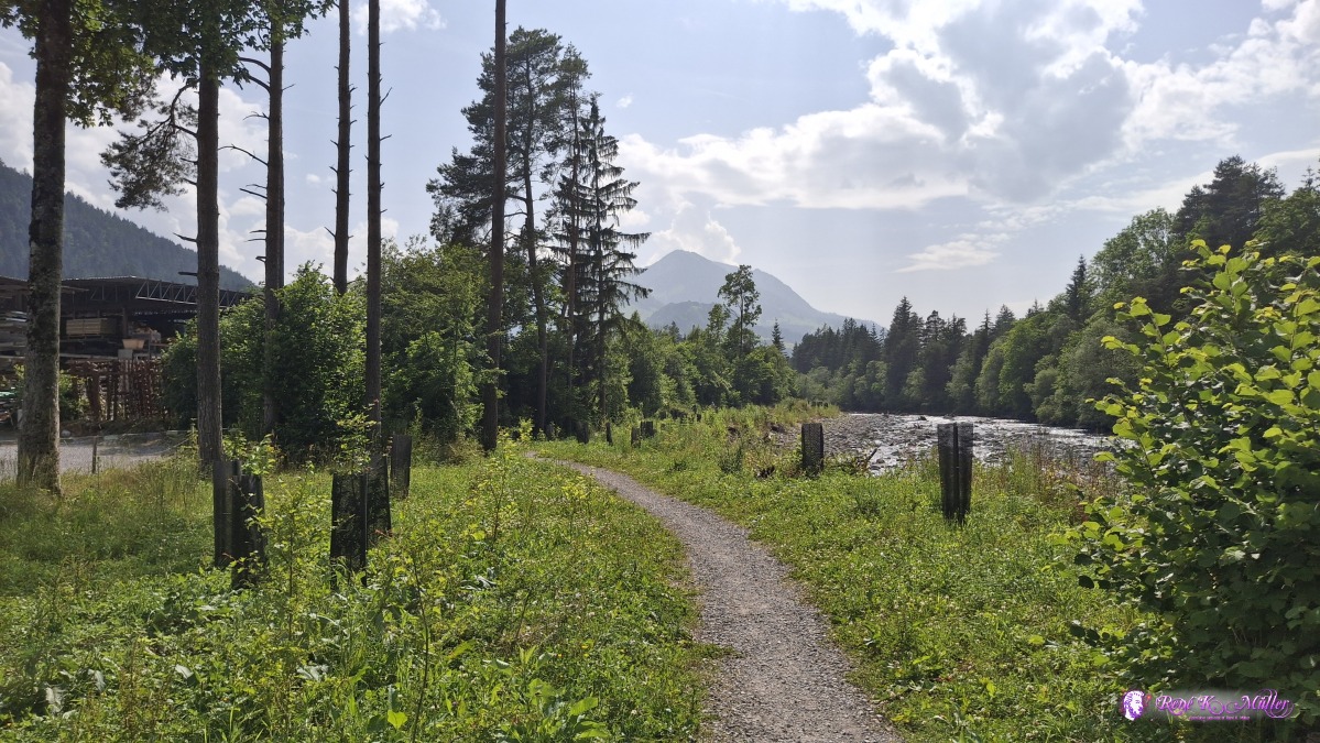 ◈ Diemtigen (Δ 715m), 2025/06/14 16:30 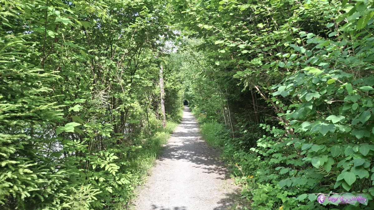 ◈ Wimmis (Δ 702m), 2025/06/14 16:47 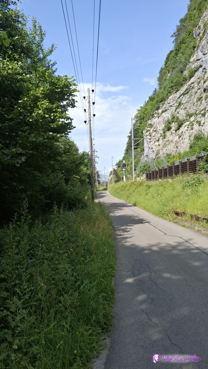 ◈ Wimmis (Δ 691m), 2025/06/14 16:54 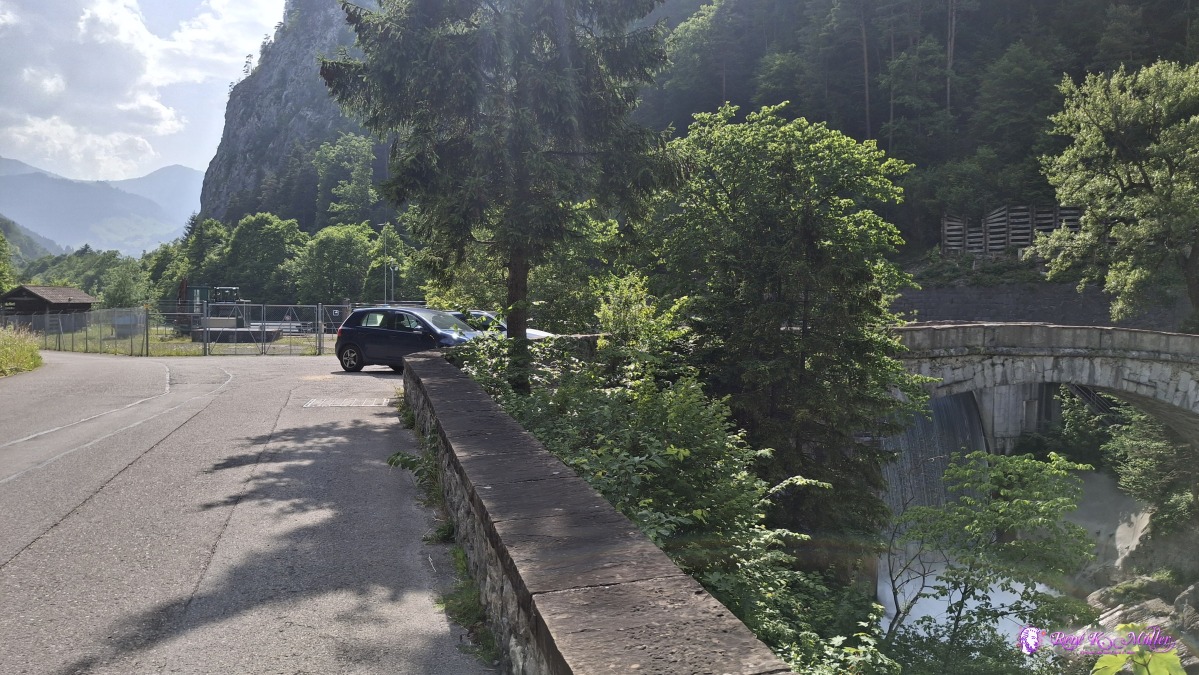 ◈ Wimmis (Δ 693m), 2025/06/14 17:01 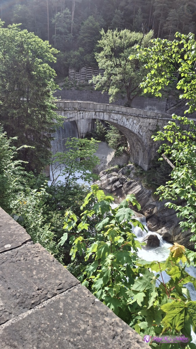 ◈ Wimmis (Δ 692m), 2025/06/14 17:01 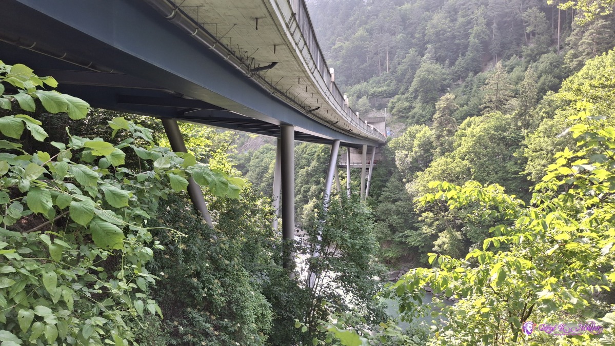 ◈ Wimmis (Δ 790m), 2025/06/14 17:04 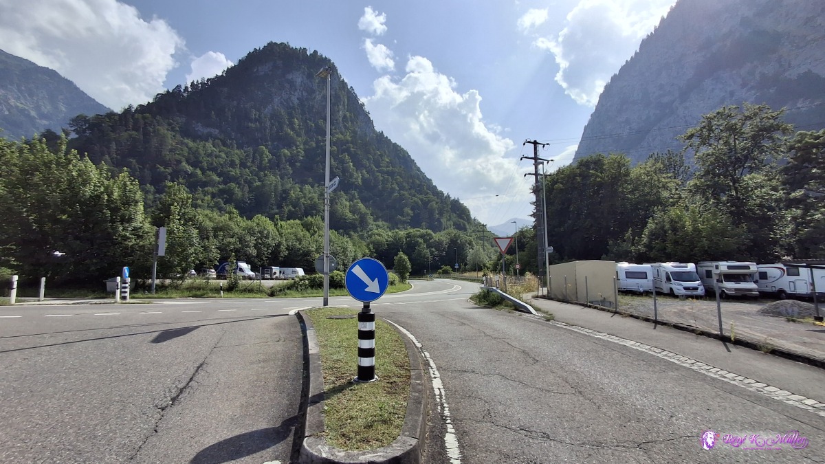 ◈ Wimmis (Δ 683m), 2025/06/14 17:09
That's it. Page << Prev | 1 | 2 | 3 | 4 | 5 | 6 | 7 | 8 | 9 | 10 | 11 | 12 | 13 | 14 | 15 | 16 | 17 | 18 | 19 | Next >> Content:
|