

 2010: India
2009: France: Two Tours
2008: Tour de Romandie
2008: Zug - Bern - Zug
2008: Strasbourg
2008: Europe
2007: France
2005: France & Italy
2004: USA: Denver - Sedona
2004: Lenzburg - Marseille
2004: La Gomera
2003: Sardinien
2003: La Gomera
2002: Korsika
2002: Bordeaux - Hendaye
1998: Switzerland
1997: USA
1996: USA: Colorado & Arizona
My Experiences with Channeling
Protection of ...
Earthkeeper Vision
Art of Descension
Reincarnation and The Self
Multidimensional Realities
Third Eye
Spiritual Evolution
I Am The Light
Sleeping Humankind
Numbers
Spirit Diary
Quotes
2010: India
2009: France: Two Tours
2008: Tour de Romandie
2008: Zug - Bern - Zug
2008: Strasbourg
2008: Europe
2007: France
2005: France & Italy
2004: USA: Denver - Sedona
2004: Lenzburg - Marseille
2004: La Gomera
2003: Sardinien
2003: La Gomera
2002: Korsika
2002: Bordeaux - Hendaye
1998: Switzerland
1997: USA
1996: USA: Colorado & Arizona
My Experiences with Channeling
Protection of ...
Earthkeeper Vision
Art of Descension
Reincarnation and The Self
Multidimensional Realities
Third Eye
Spiritual Evolution
I Am The Light
Sleeping Humankind
Numbers
Spirit Diary
Quotes
|
"Yes, we can."
Barack Obama |
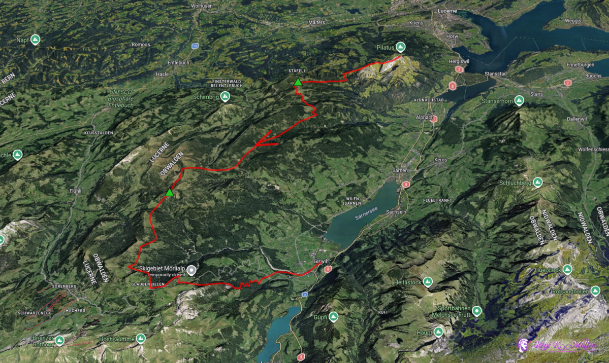
2026: Various Hikes / Tours3 Days Hike September 2026: Pilatus - Giswil
Sunday 2026/09/20: Pilatus (2106m) - Staefeliflue/Rickmettlen
Arrival at 11:05 at Alpnachstad and taking cogwheel train from 426m elevation up to Pilatus (2106m), ~12:00.
Stunning sight, as Pilatus is one of the highest first mountains of the alps, even higher than the Rigi close by.
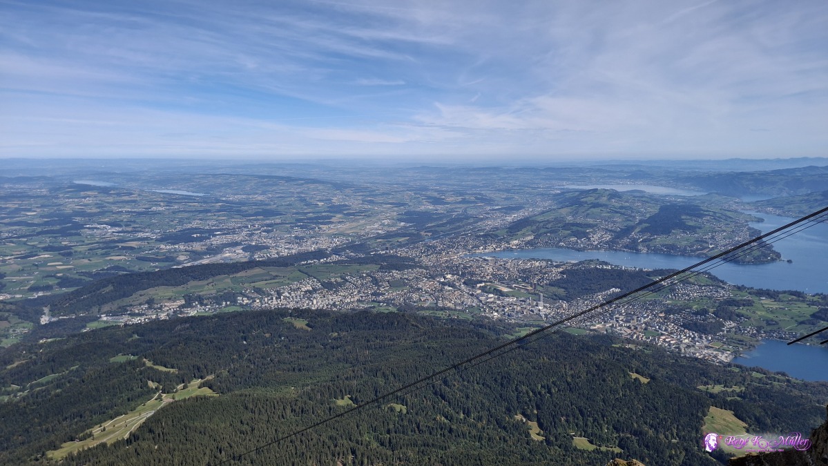 ◈ Alpnach (Δ 2126m), 2026/09/20 12:08 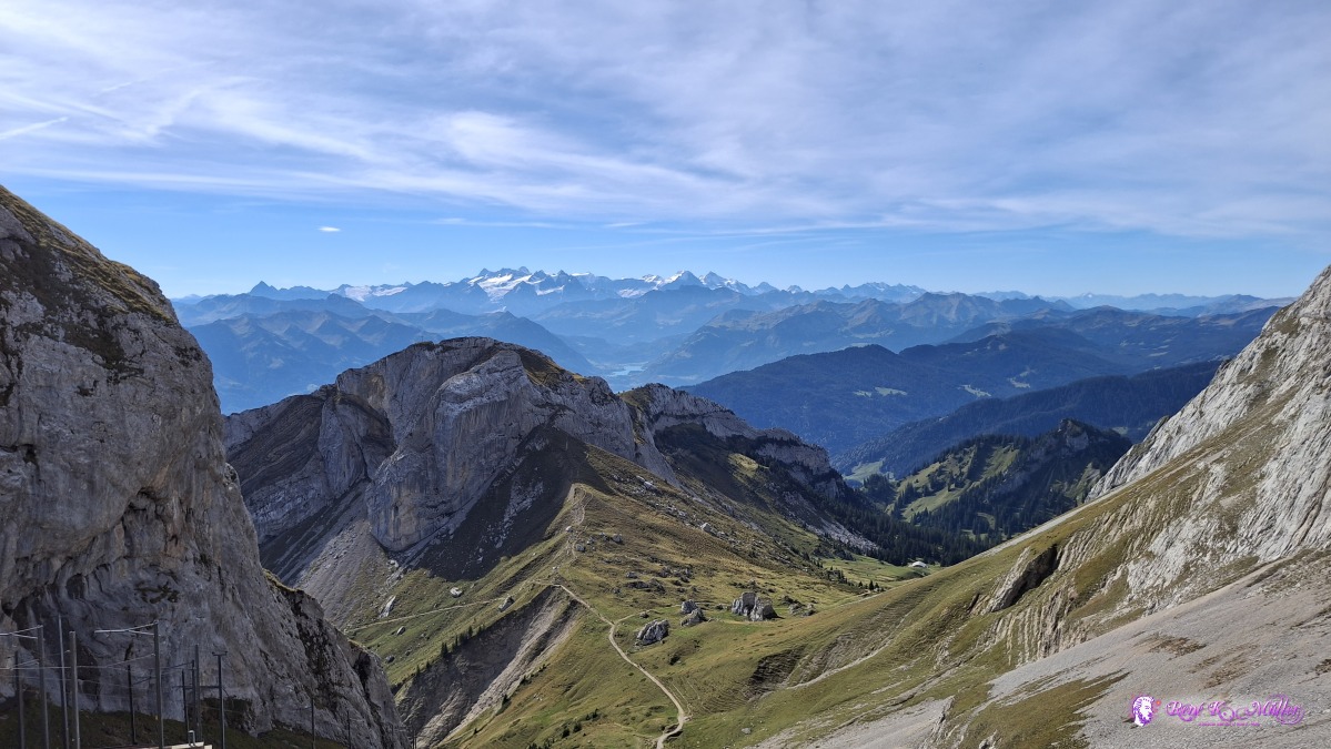 ◈ Alpnach (Δ 2112m), 2026/09/20 12:09 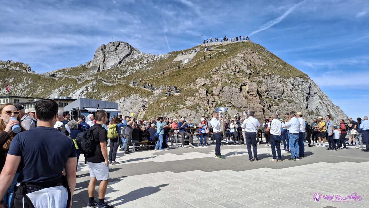 ◈ Alpnach (Δ 2112m), 2026/09/20 12:09 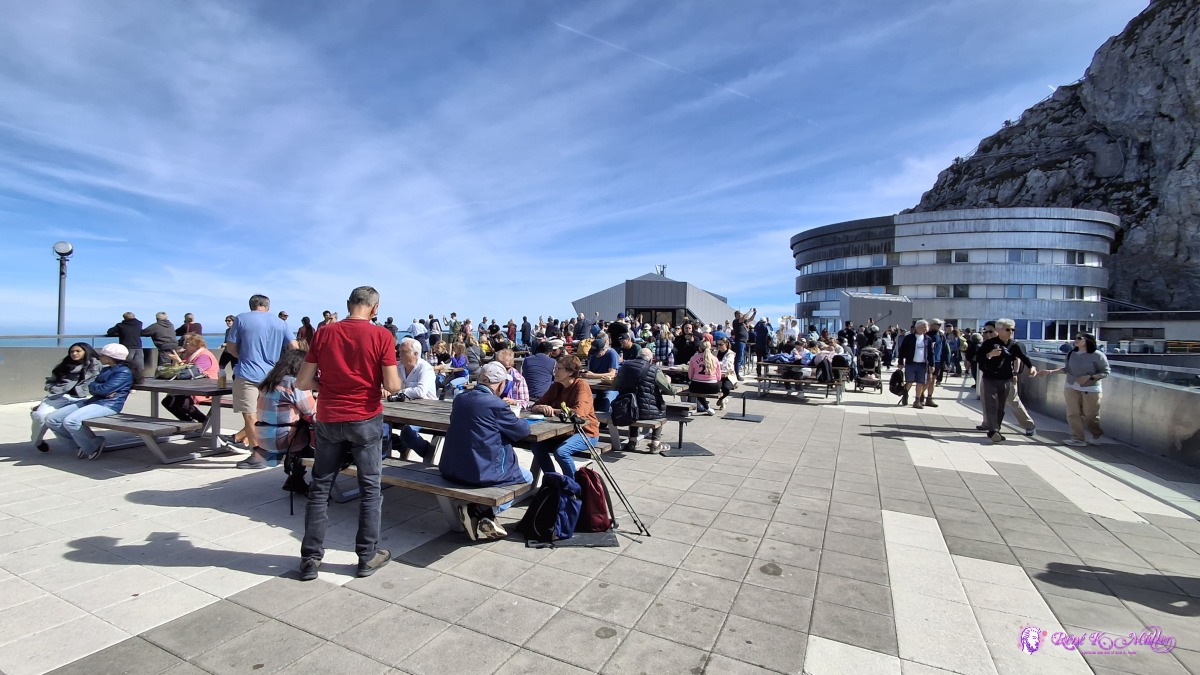 ◈ Alpnach (Δ 2118m), 2026/09/20 12:10 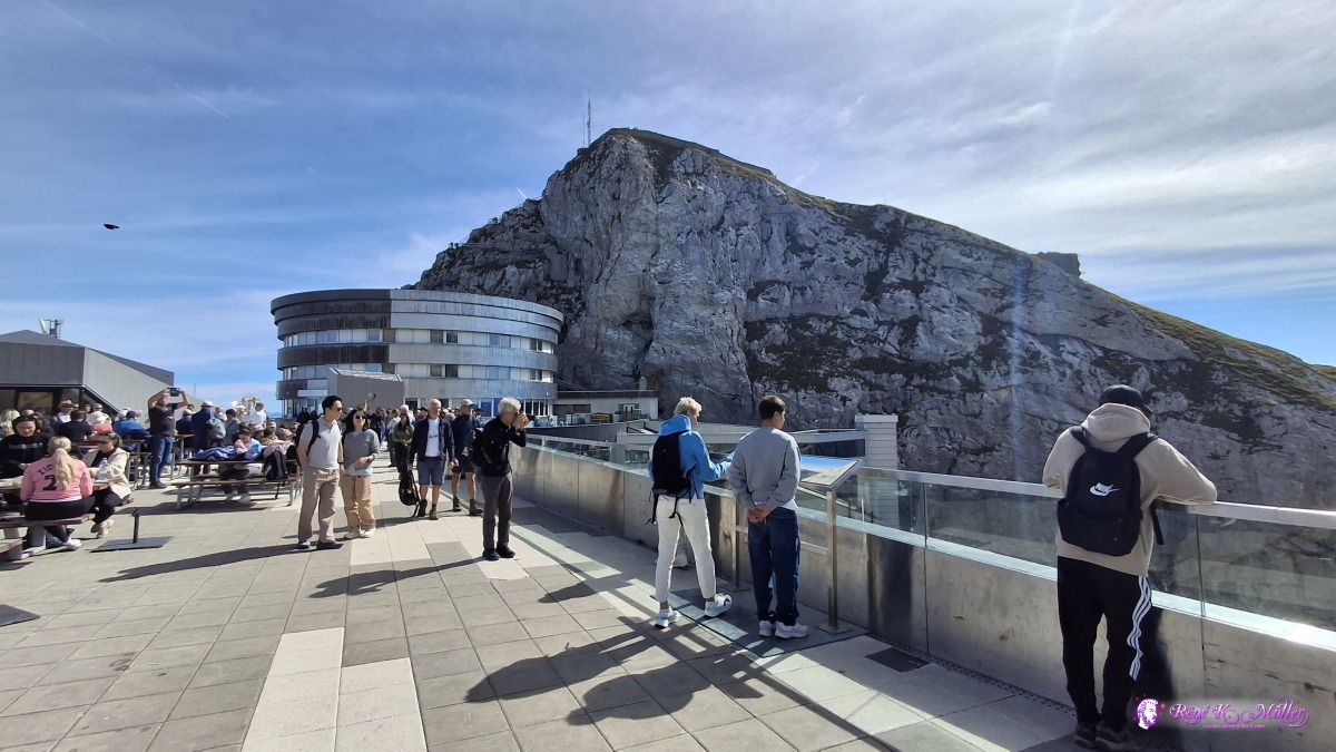 ◈ Alpnach (Δ 2118m), 2026/09/20 12:10 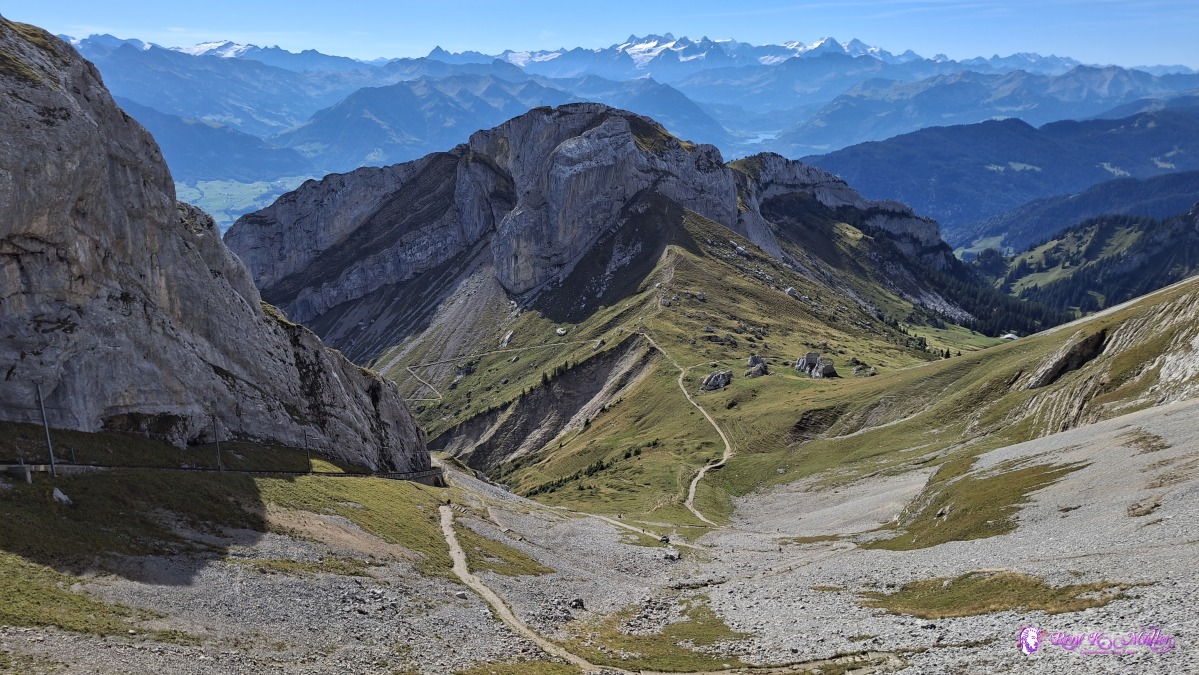 ◈ Alpnach (Δ 2115m), 2026/09/20 12:10 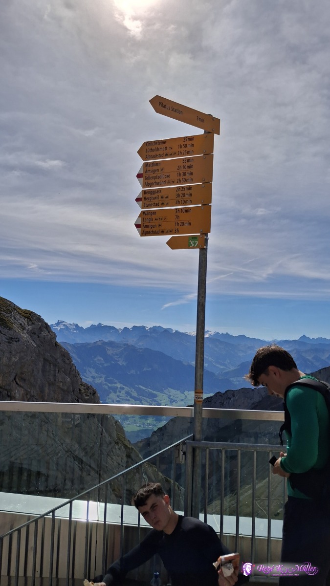 ◈ Alpnach (Δ 2118m), 2026/09/20 12:11 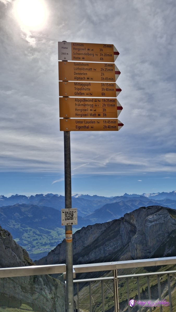 ◈ Alpnach (Δ 2118m), 2026/09/20 12:11 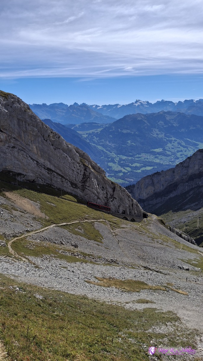 ◈ Alpnach (Δ 2116m), 2026/09/20 12:15 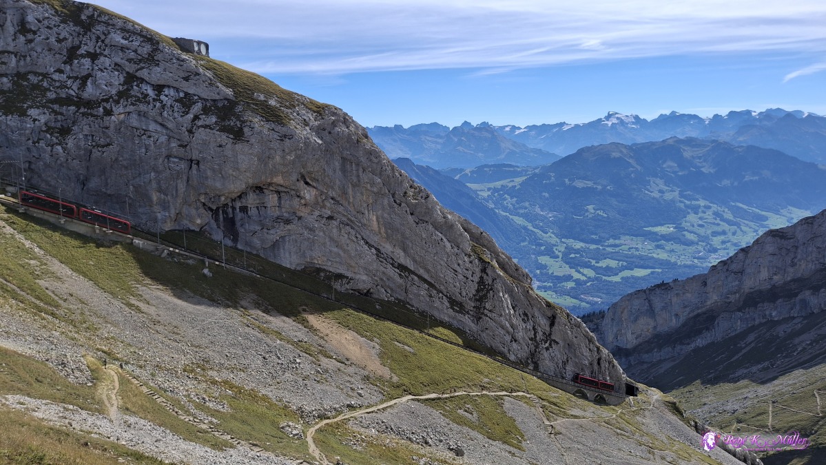 ◈ Hergiswil (NW) (Δ 2102m), 2026/09/20 12:16 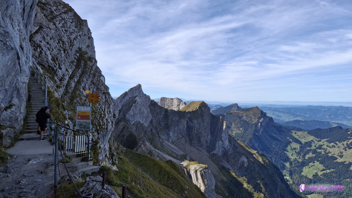 2026/09/20 12:22 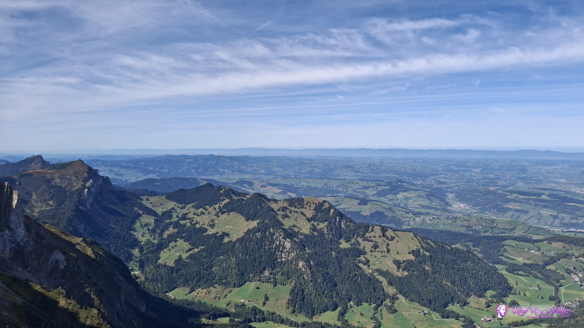 ◈ Hergiswil (NW) (Δ 2122m), 2026/09/20 12:22 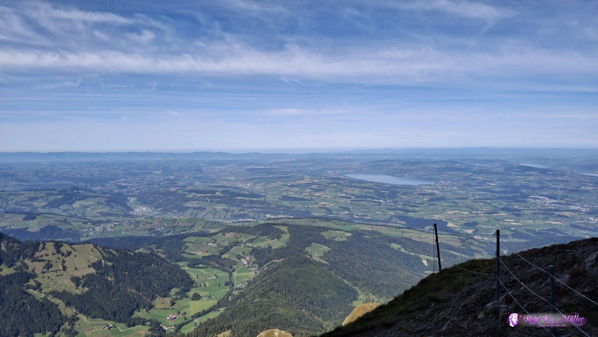 ◈ Hergiswil (NW) (Δ 2122m), 2026/09/20 12:22 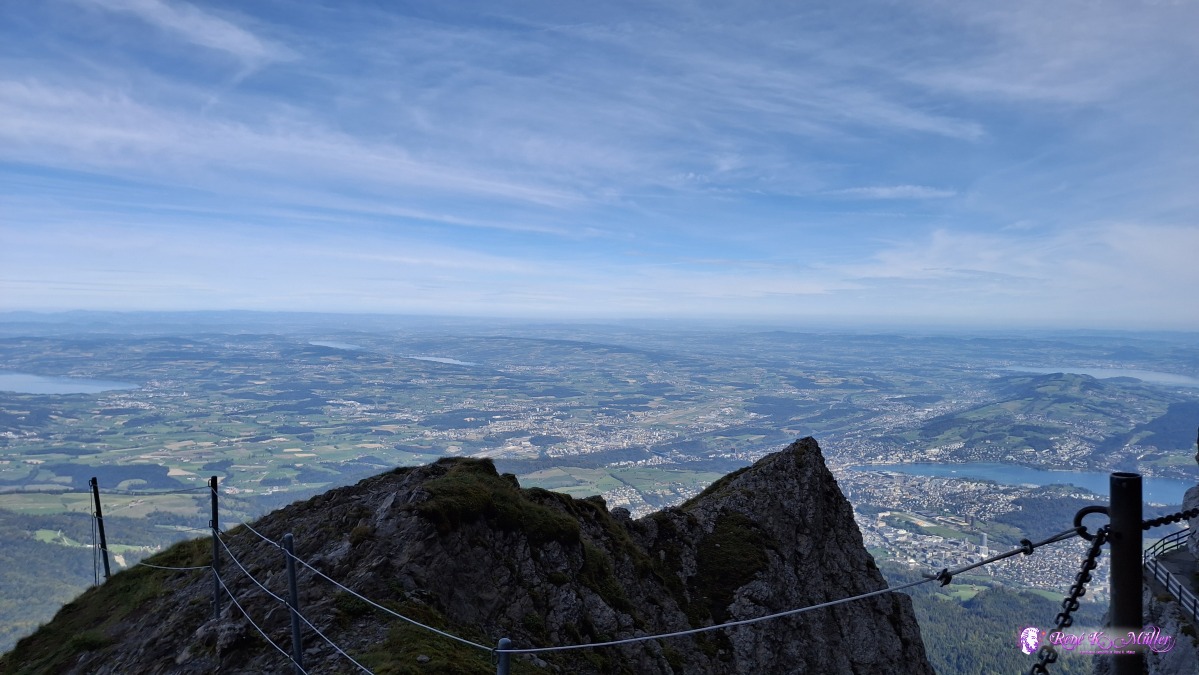 ◈ Hergiswil (NW) (Δ 2122m), 2026/09/20 12:22 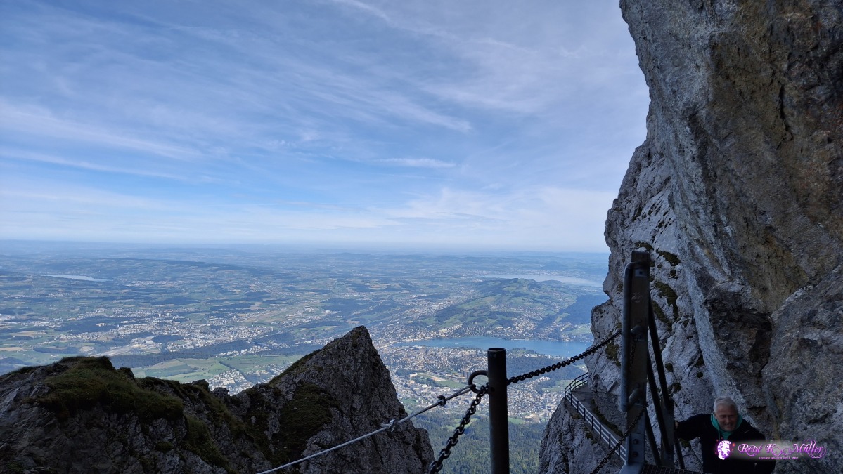 ◈ Hergiswil (NW) (Δ 2122m), 2026/09/20 12:22 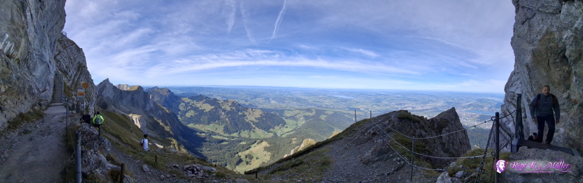 ◈ Hergiswil (NW) (Δ 2122m), 2026/09/20 12:23 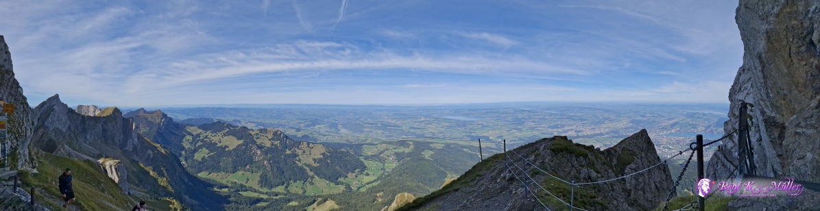 ◈ Hergiswil (NW) (Δ 2122m), 2026/09/20 12:23 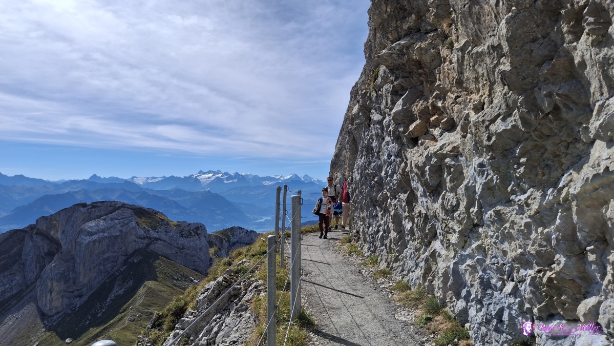 2026/09/20 12:27 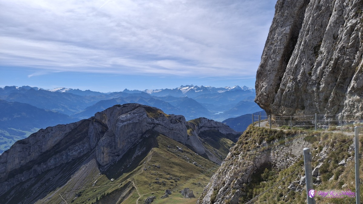 ◈ Hergiswil (NW) (Δ 2107m), 2026/09/20 12:27 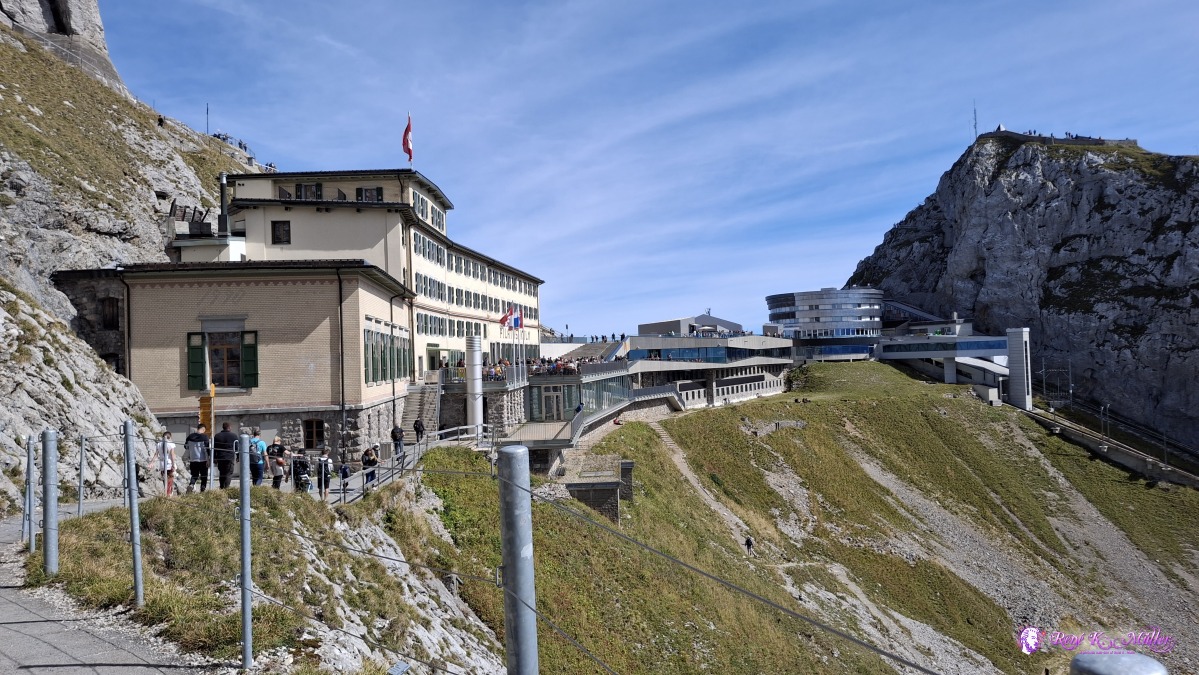 ◈ Hergiswil (NW) (Δ 2108m), 2026/09/20 12:27 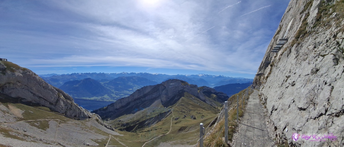 ◈ Hergiswil (NW) (Δ 2093m), 2026/09/20 12:28 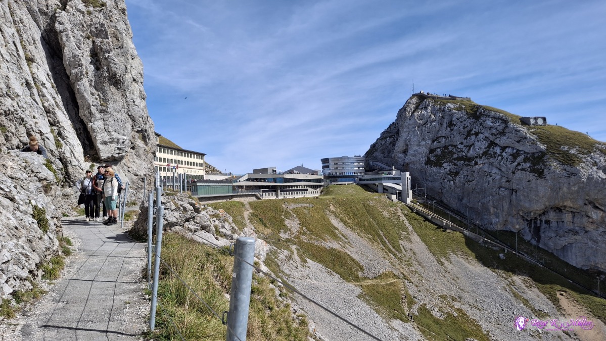 ◈ Hergiswil (NW) (Δ 2093m), 2026/09/20 12:29 The hiking trail is well built with a railing - a lot of tourists are around until Tomlishorn - after that only experienced hikers are on the path with light backpacks (single day hikers), as around Widderfeld the passages become difficult but are secured by chains. Around Rottosse I decide to descend to lower region and not continue on the crest, mostly gravel road and later like very old street winding up and down like made for carts pulled by horses - around 16:30 I find a nice spot for tonight near Staefeliflue but below at Rickmettlen.
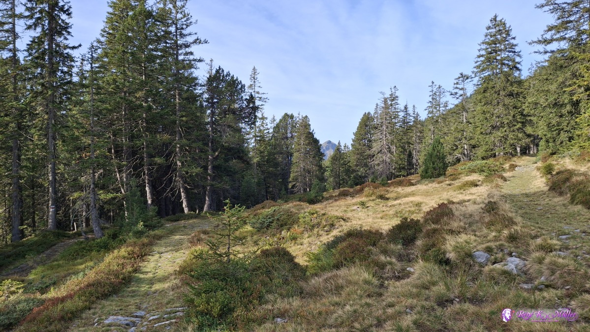
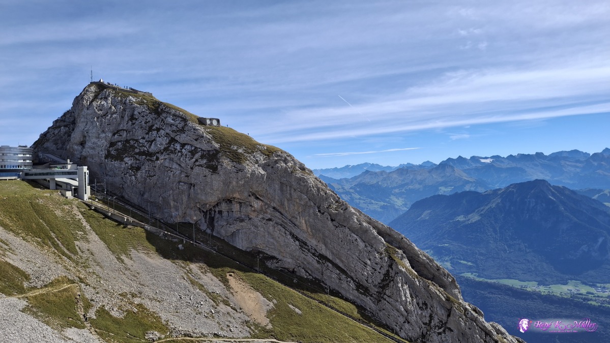 ◈ Hergiswil (NW) (Δ 2093m), 2026/09/20 12:29 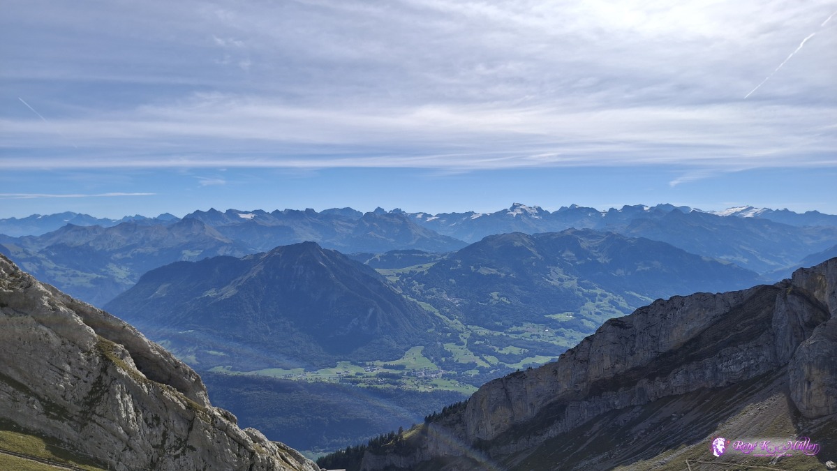 ◈ Hergiswil (NW) (Δ 2093m), 2026/09/20 12:29 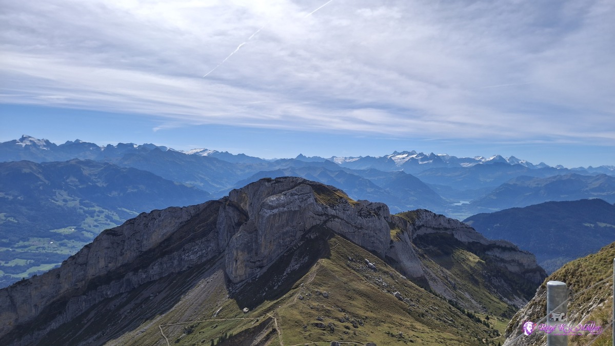 ◈ Hergiswil (NW) (Δ 2093m), 2026/09/20 12:29 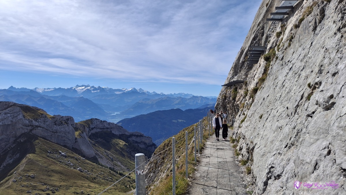 ◈ Hergiswil (NW) (Δ 2093m), 2026/09/20 12:29 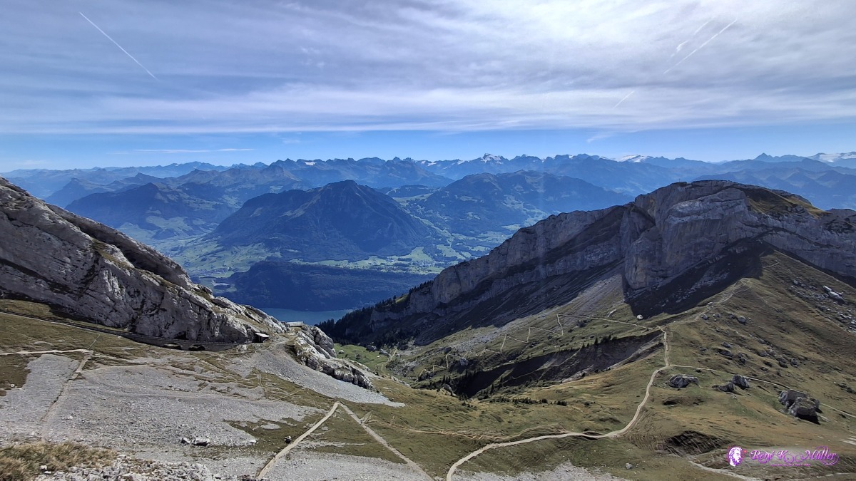 ◈ Hergiswil (NW) (Δ 2107m), 2026/09/20 12:30 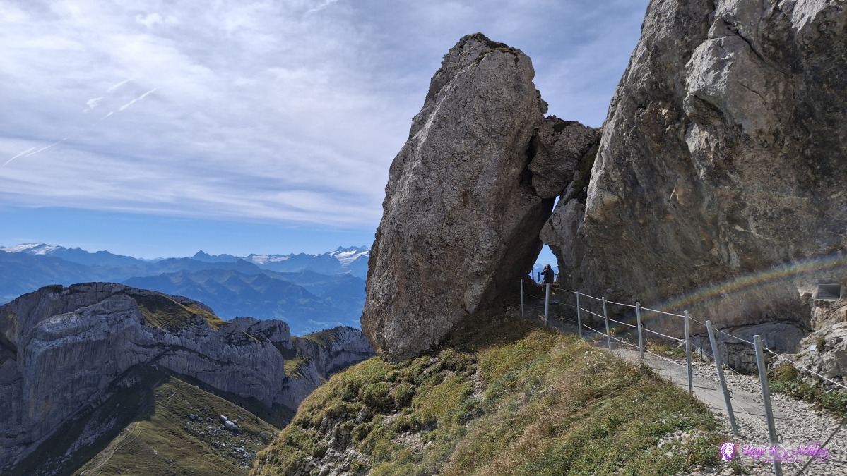 ◈ Hergiswil (NW) (Δ 2103m), 2026/09/20 12:31 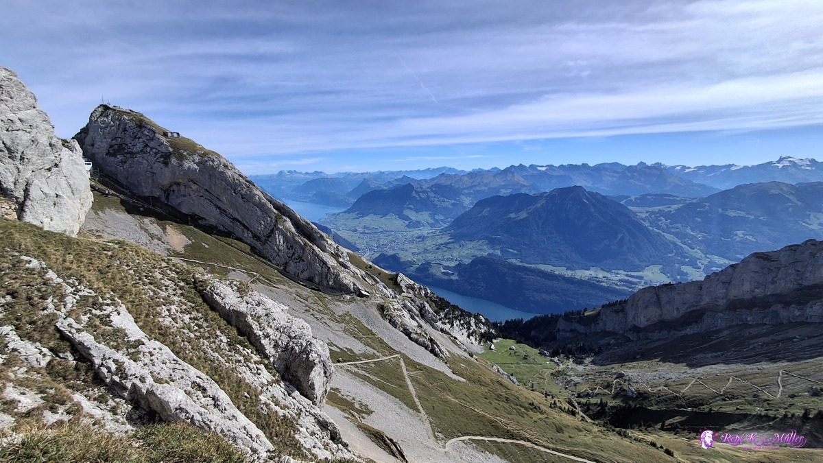 ◈ Hergiswil (NW) (Δ 2105m), 2026/09/20 12:32 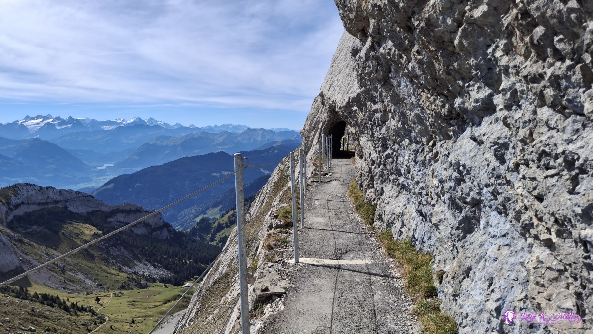 ◈ Hergiswil (NW) (Δ 2113m), 2026/09/20 12:33 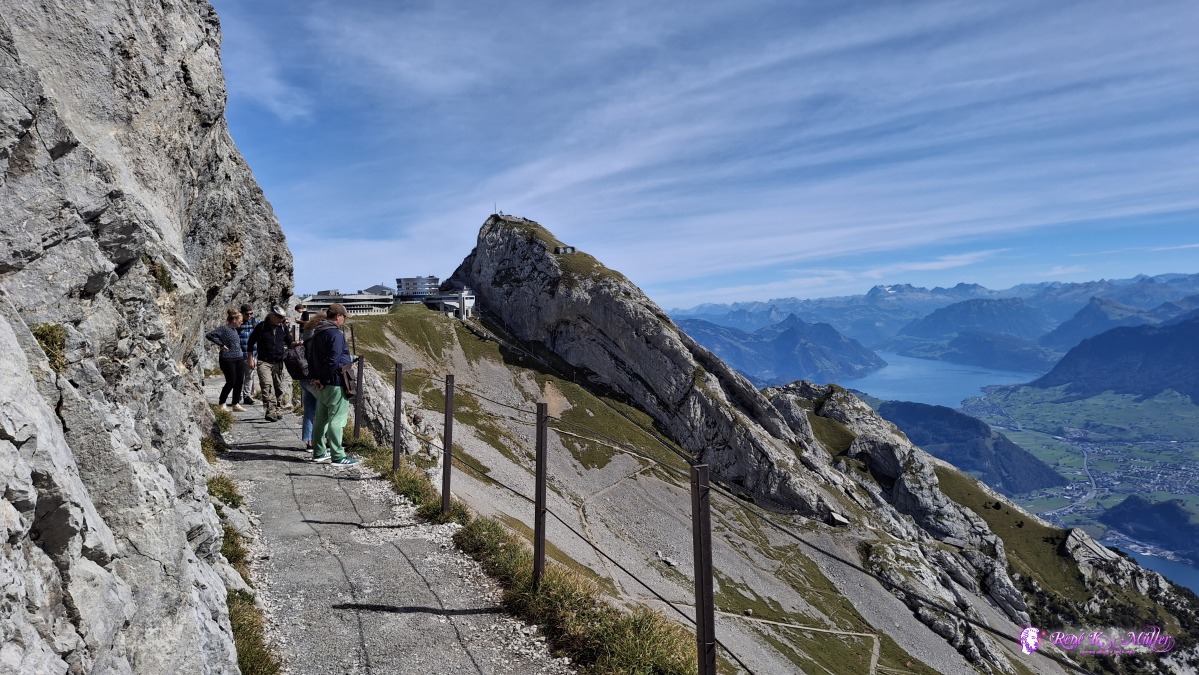 ◈ Hergiswil (NW) (Δ 2114m), 2026/09/20 12:35 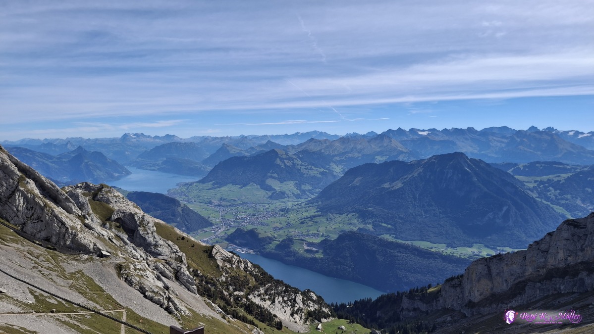 ◈ Hergiswil (NW) (Δ 2108m), 2026/09/20 12:35 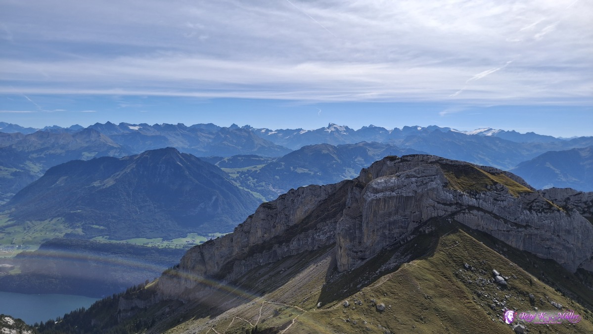 ◈ Hergiswil (NW) (Δ 2108m), 2026/09/20 12:35 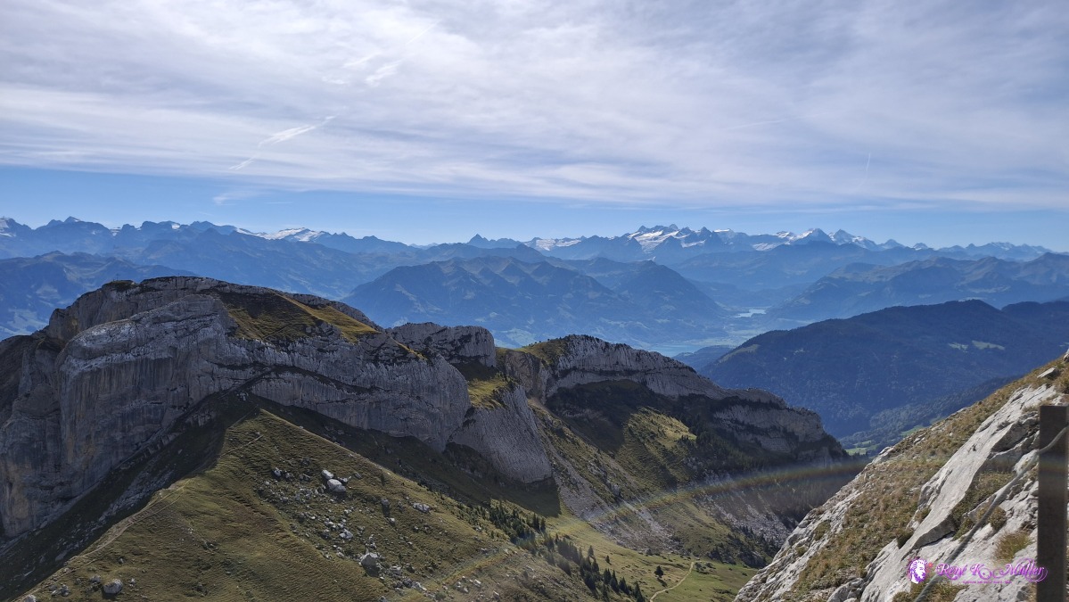 ◈ Hergiswil (NW) (Δ 2108m), 2026/09/20 12:35 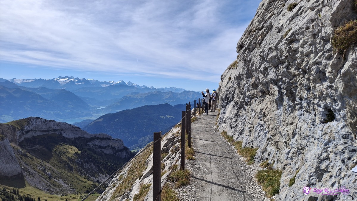 ◈ Hergiswil (NW) (Δ 2108m), 2026/09/20 12:35 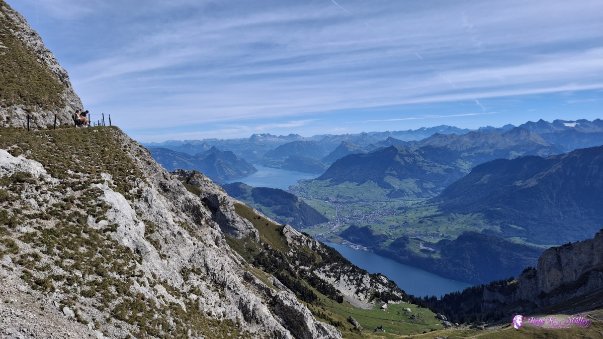 ◈ Hergiswil (NW) (Δ 2098m), 2026/09/20 12:38 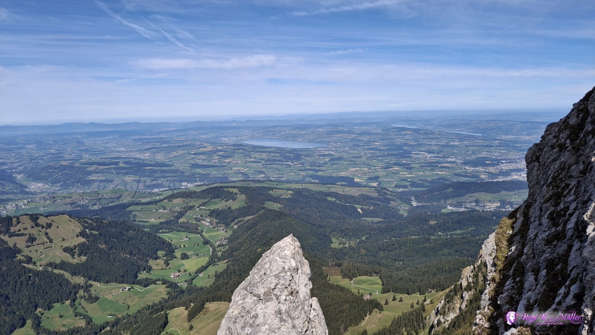 ◈ Hergiswil (NW) (Δ 2094m), 2026/09/20 12:41 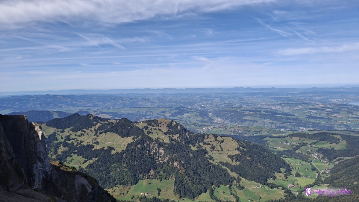 ◈ Hergiswil (NW) (Δ 2094m), 2026/09/20 12:41 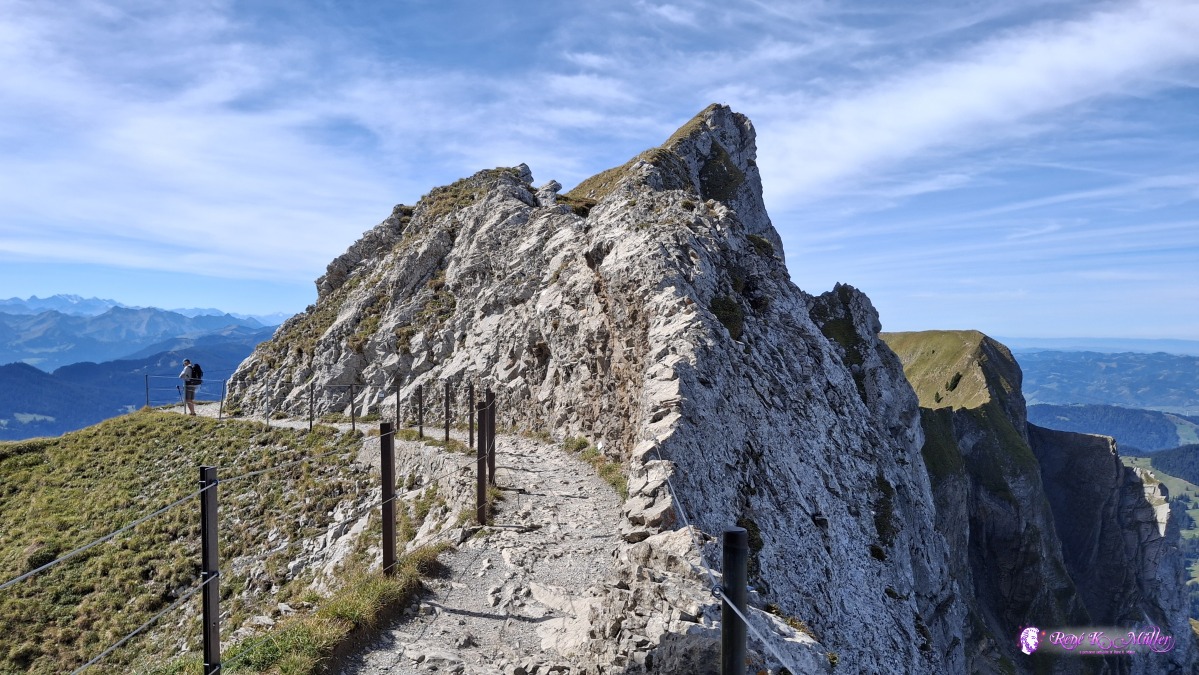 ◈ Hergiswil (NW) (Δ 2110m), 2026/09/20 12:43 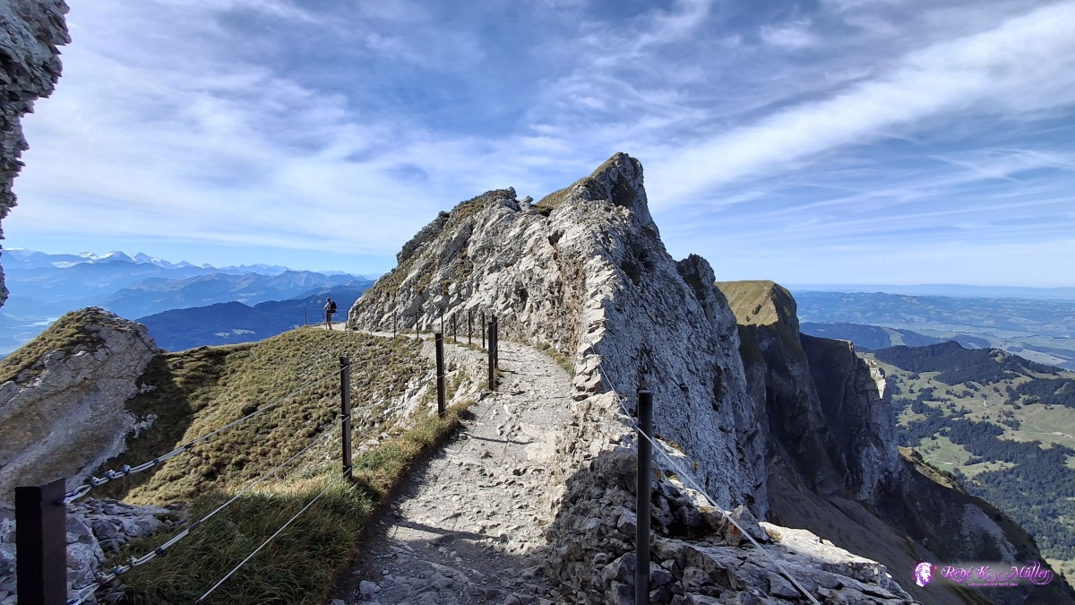 ◈ Hergiswil (NW) (Δ 2106m), 2026/09/20 12:43 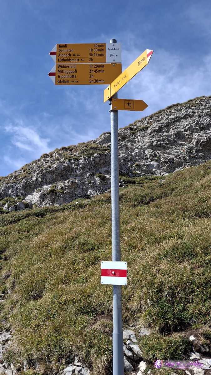 ◈ Alpnach (Δ 2158m), 2026/09/20 12:50 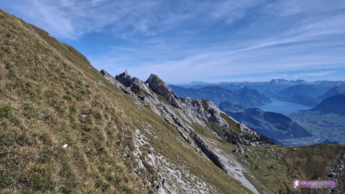 ◈ Alpnach (Δ 2137m), 2026/09/20 12:52 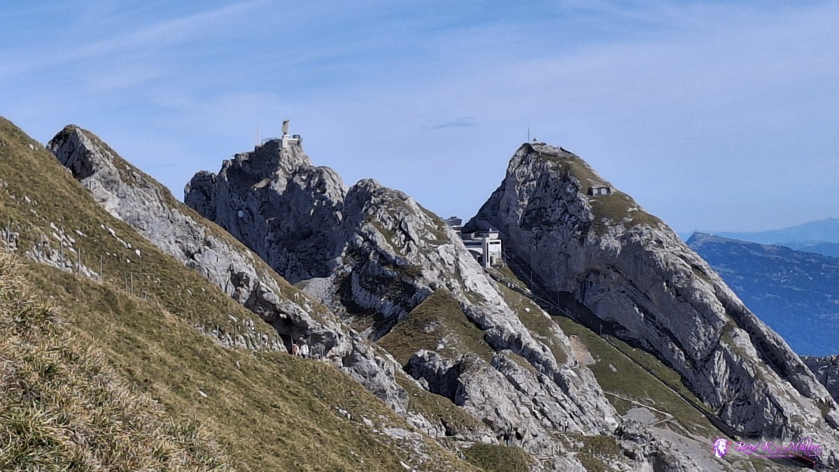 ◈ Alpnach (Δ 2137m), 2026/09/20 12:52 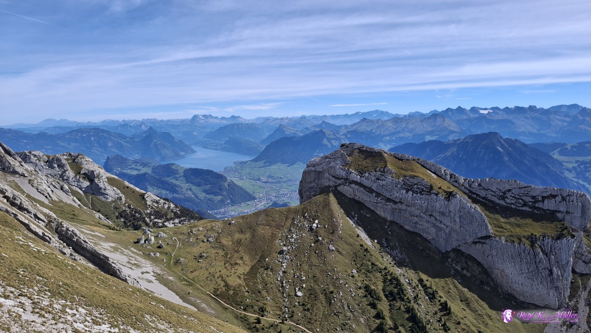 ◈ Alpnach (Δ 2131m), 2026/09/20 12:52 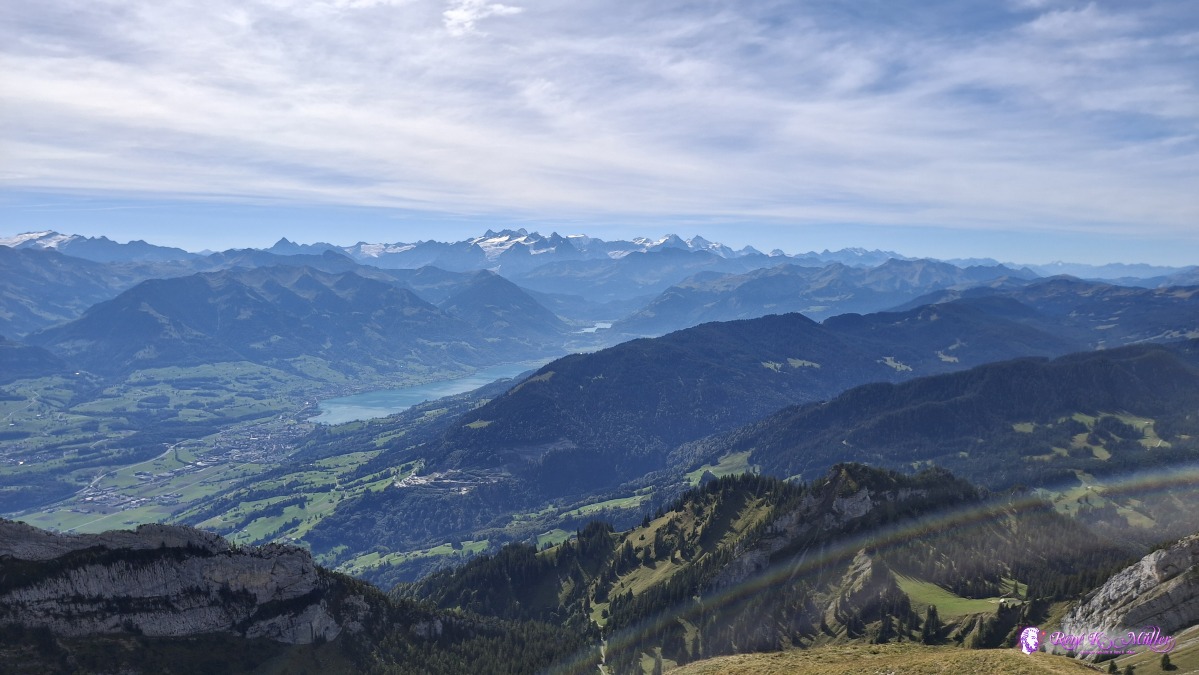 ◈ Alpnach (Δ 2132m), 2026/09/20 12:52 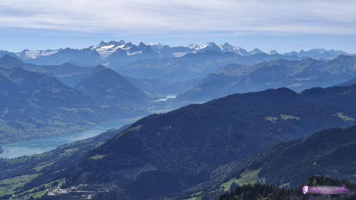 ◈ Alpnach (Δ 2132m), 2026/09/20 12:52 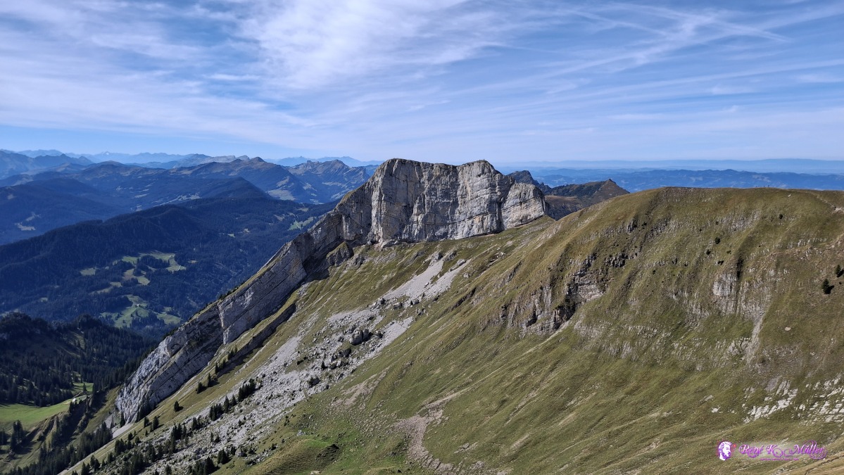 ◈ Alpnach (Δ 2131m), 2026/09/20 12:54 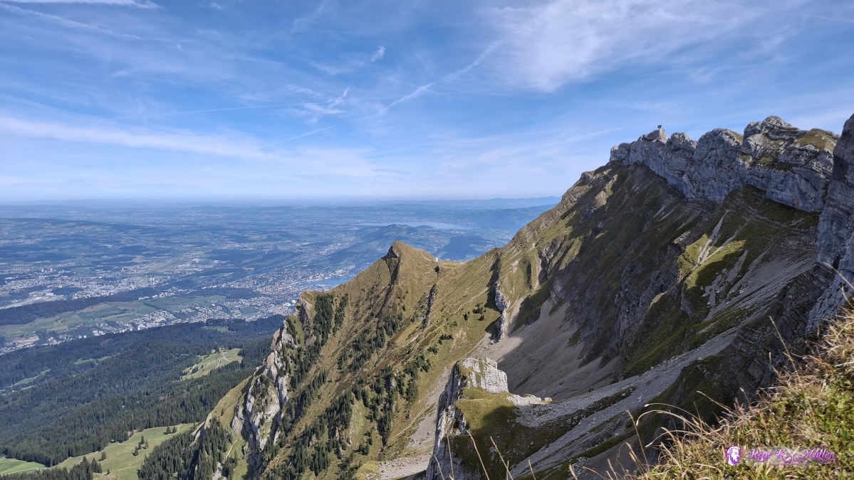 ◈ Alpnach (Δ 2075m), 2026/09/20 13:01 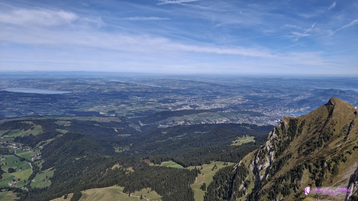 ◈ Alpnach (Δ 2075m), 2026/09/20 13:01 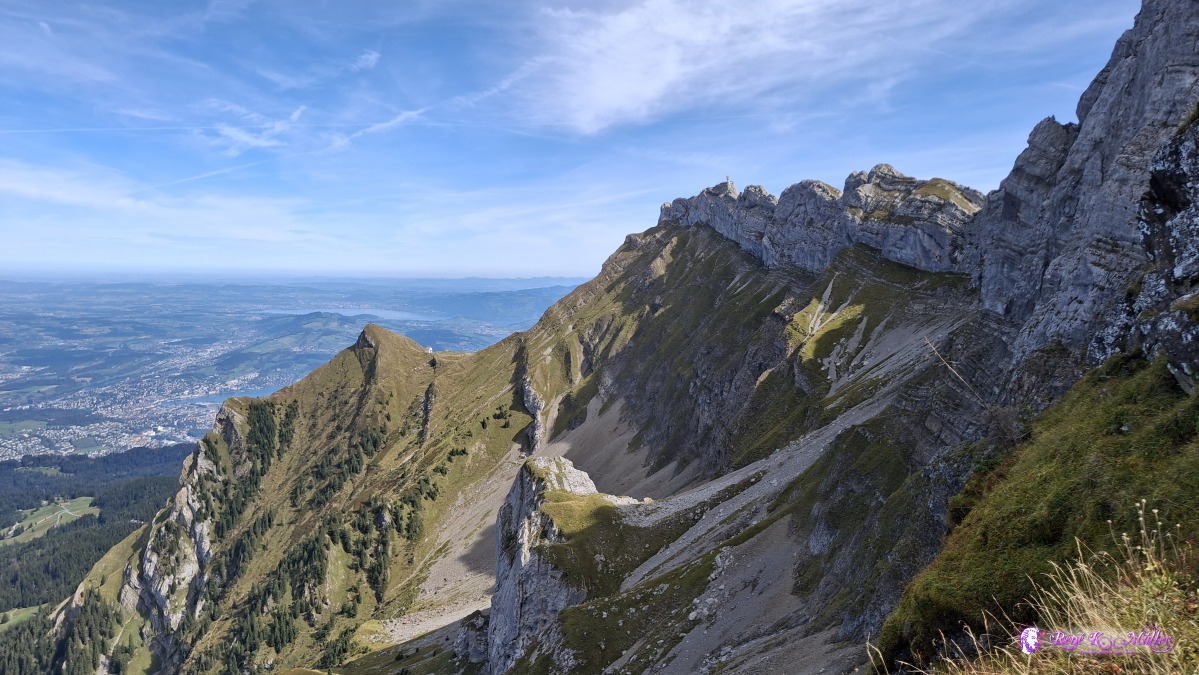 ◈ Alpnach (Δ 2054m), 2026/09/20 13:03 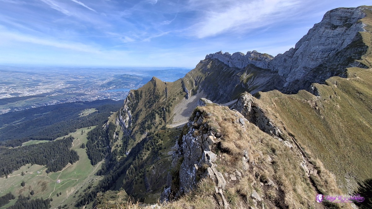 ◈ Alpnach (Δ 2062m), 2026/09/20 13:09 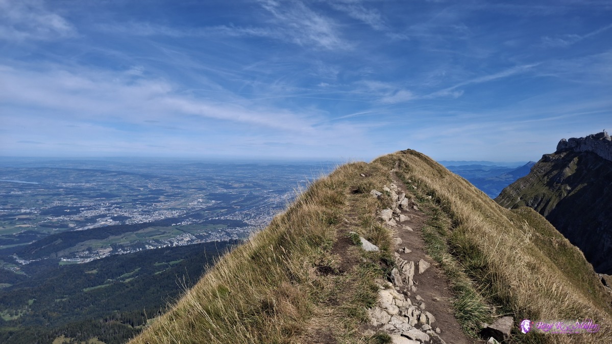 ◈ Alpnach (Δ 2098m), 2026/09/20 13:16 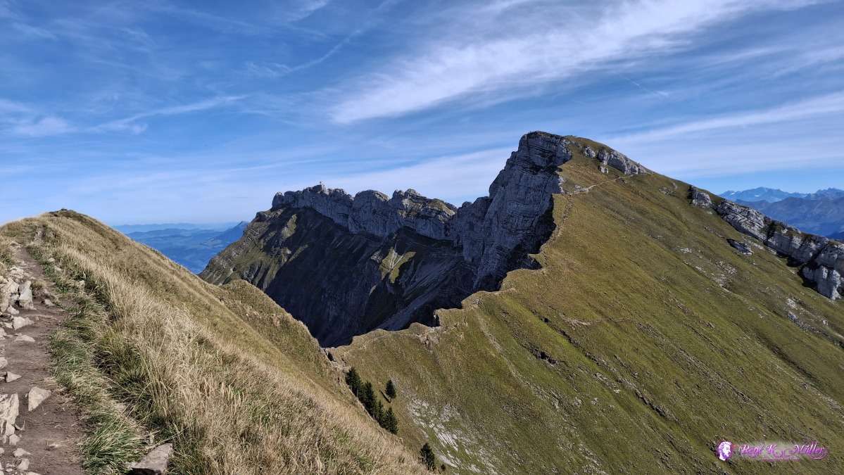 ◈ Alpnach (Δ 2100m), 2026/09/20 13:16 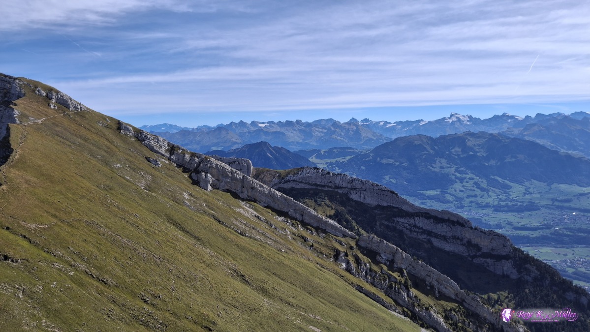 ◈ Alpnach (Δ 2100m), 2026/09/20 13:16 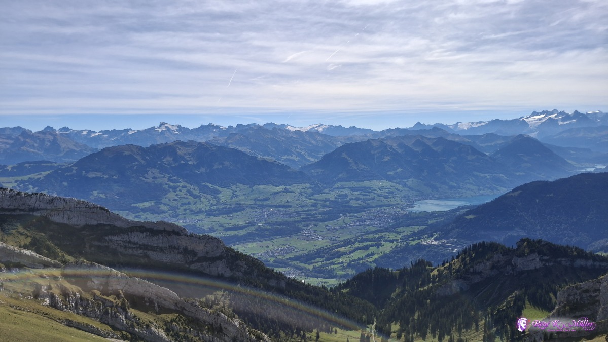 ◈ Alpnach (Δ 2100m), 2026/09/20 13:16 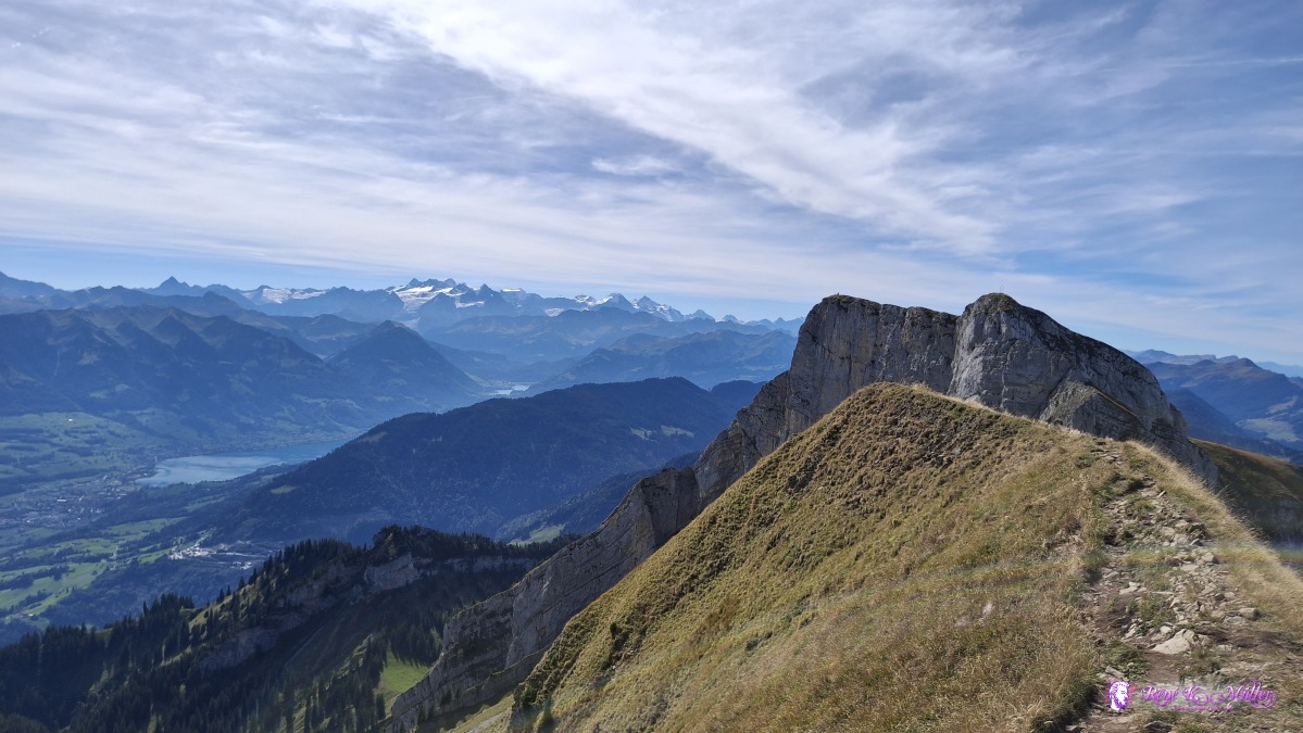 ◈ Alpnach (Δ 2100m), 2026/09/20 13:16 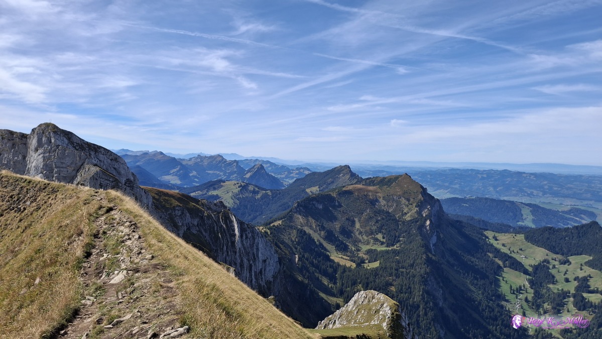 ◈ Alpnach (Δ 2100m), 2026/09/20 13:16 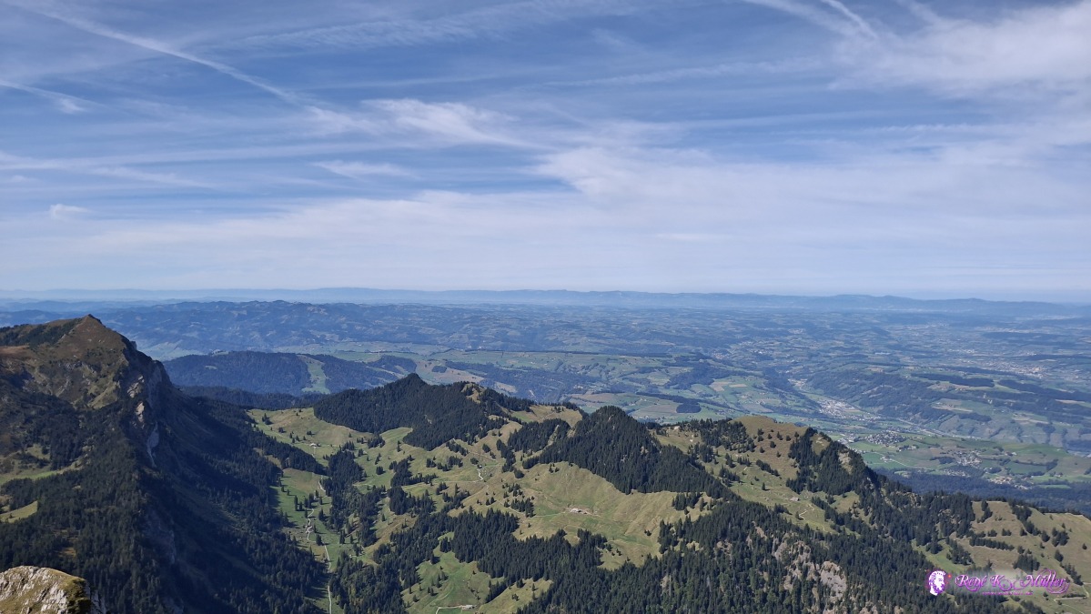 ◈ Alpnach (Δ 2100m), 2026/09/20 13:16  ◈ Alpnach (Δ 2100m), 2026/09/20 13:16 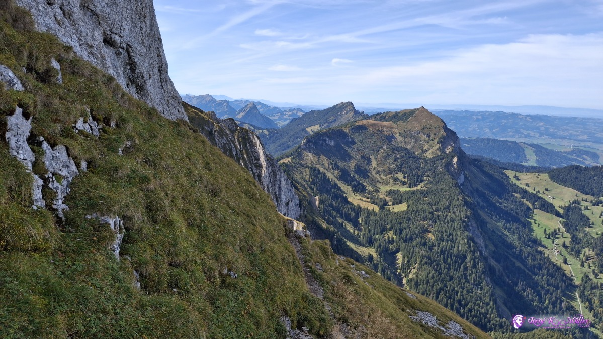 ◈ Alpnach (Δ 2019m), 2026/09/20 13:26 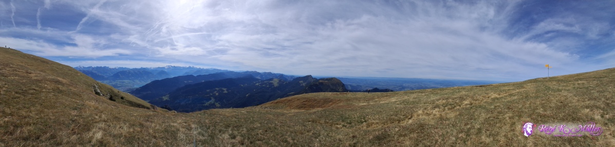 ◈ Alpnach (Δ 2034m), 2026/09/20 14:25 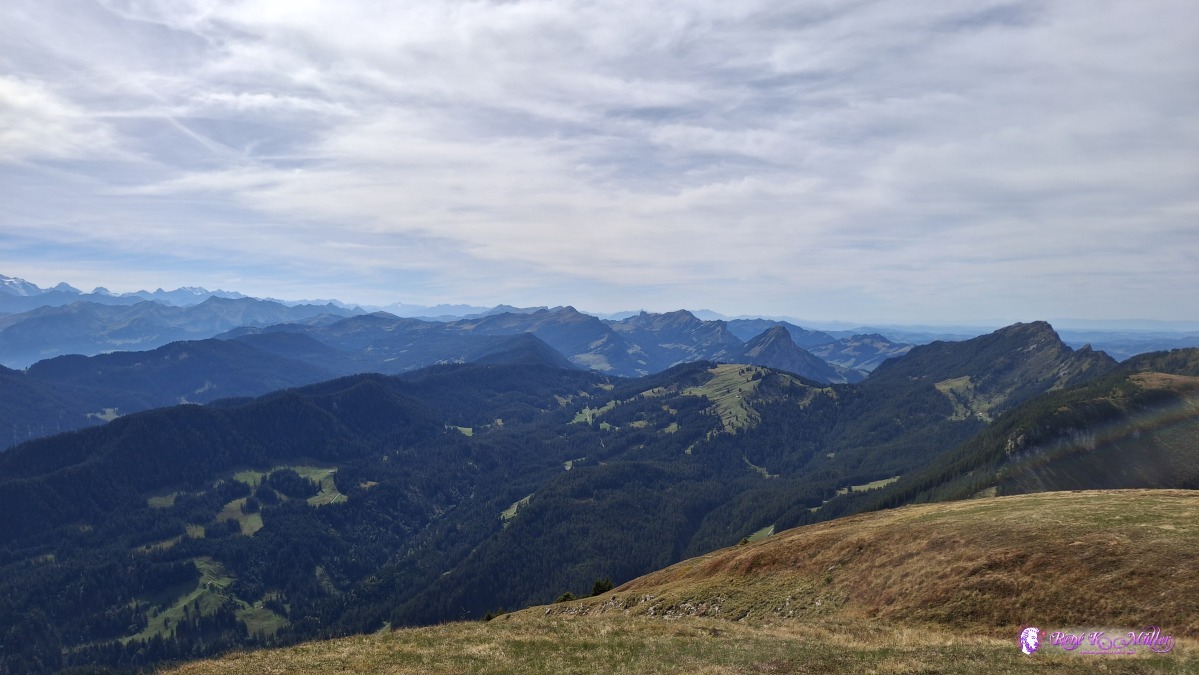 ◈ Alpnach (Δ 2036m), 2026/09/20 14:25 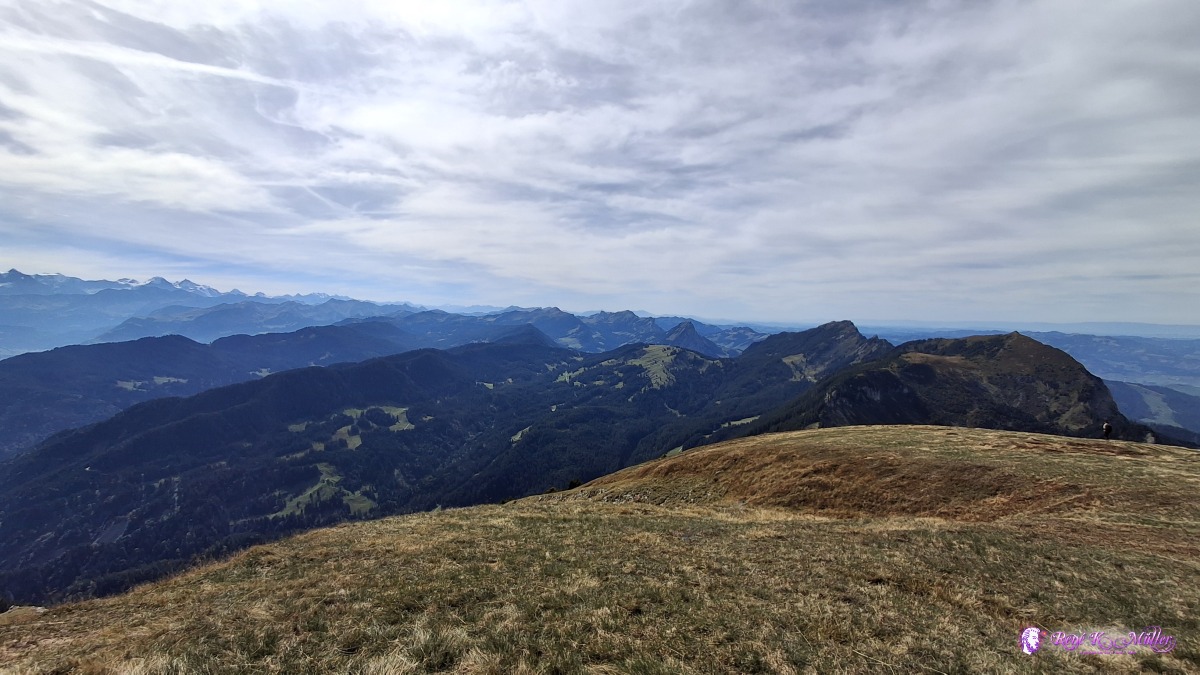 ◈ Alpnach (Δ 2036m), 2026/09/20 14:26 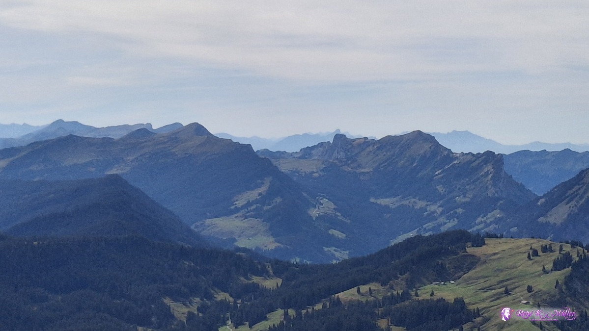 ◈ Alpnach (Δ 2036m), 2026/09/20 14:26 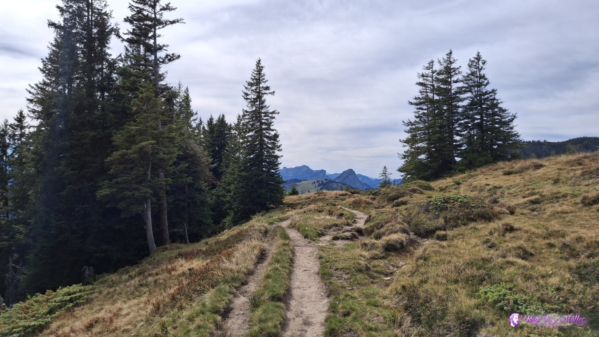 ◈ Alpnach (Δ 1788m), 2026/09/20 14:51 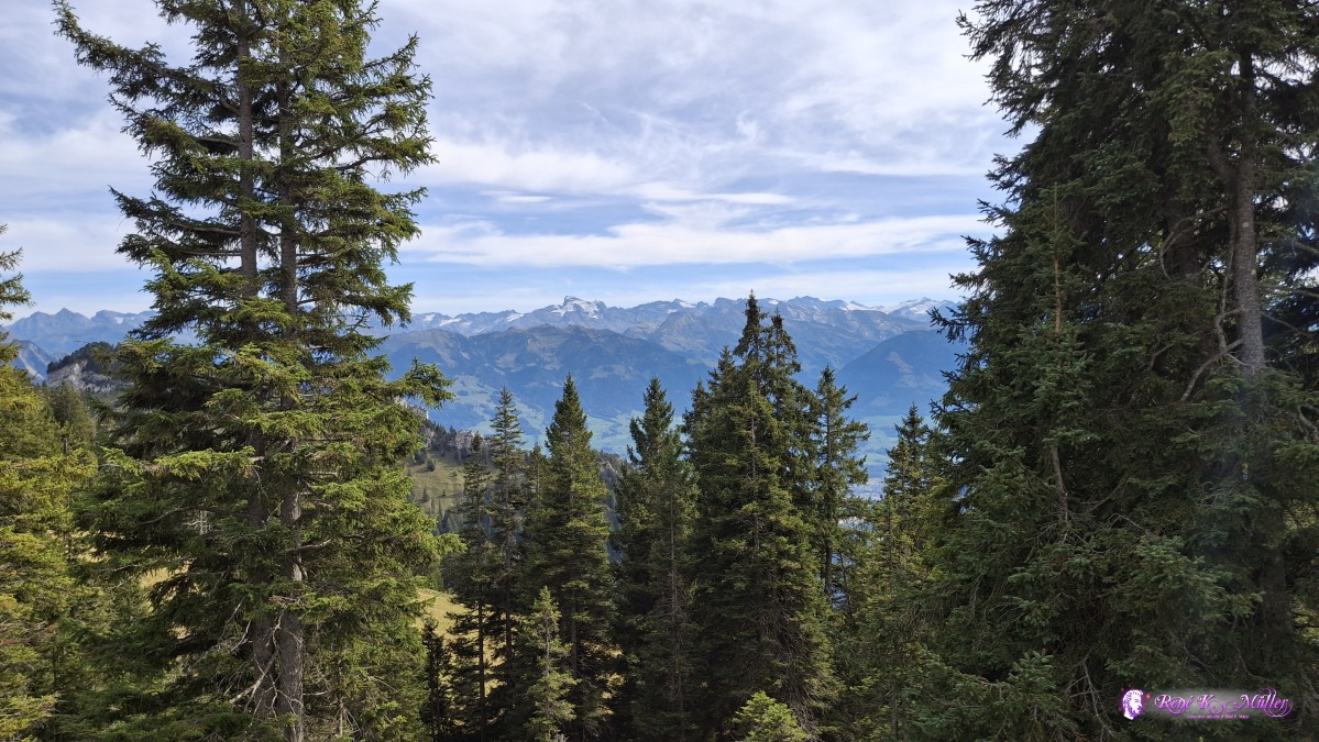 ◈ Alpnach (Δ 1790m), 2026/09/20 14:51 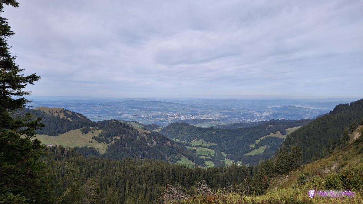 ◈ Alpnach (Δ 1752m), 2026/09/20 14:57 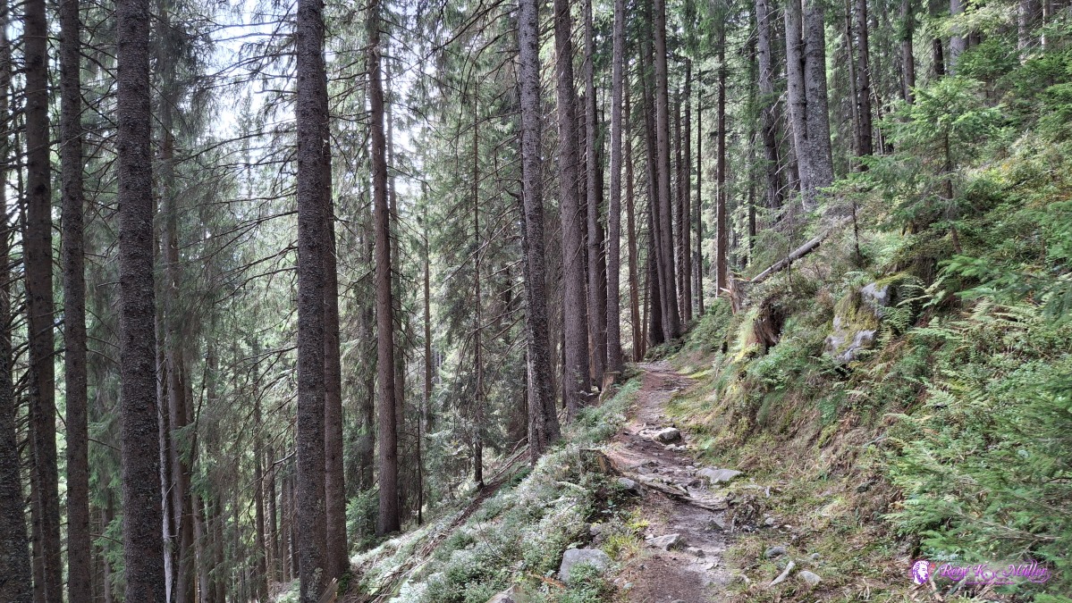 ◈ Schwarzenberg (Δ 1569m), 2026/09/20 15:31 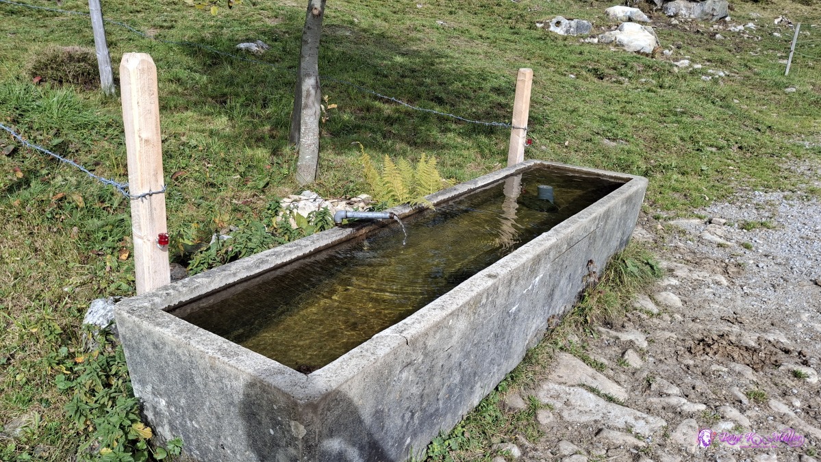 ◈ Schwarzenberg (Δ 1474m), 2026/09/20 15:43 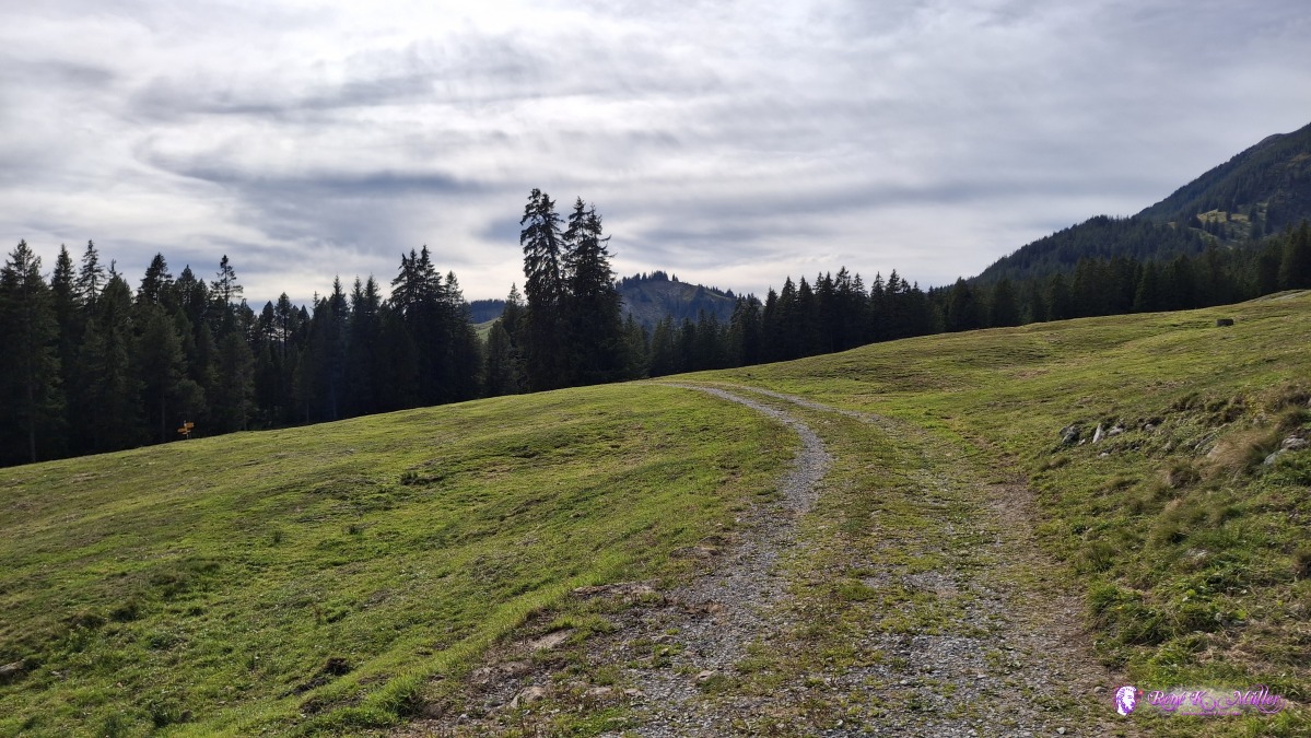 ◈ Schwarzenberg (Δ 1474m), 2026/09/20 15:43 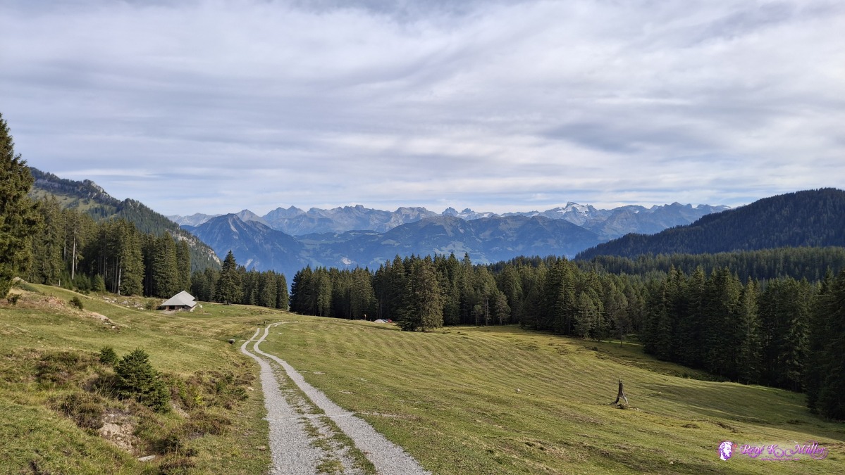 ◈ Schwarzenberg (Δ 1522m), 2026/09/20 15:48 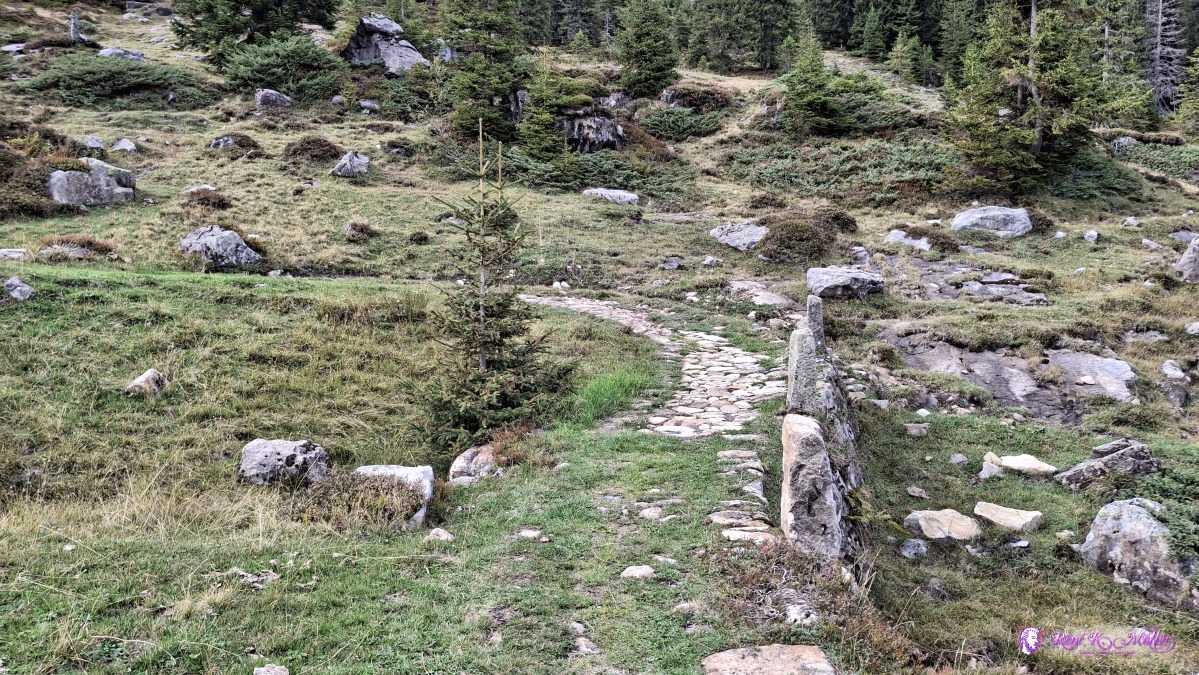 Old street ◈ Schwarzenberg (Δ 1655m), 2026/09/20 16:13 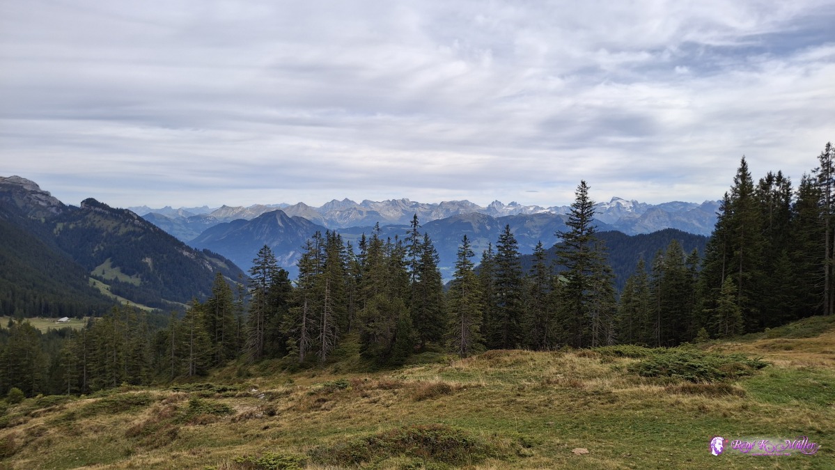 ◈ Schwarzenberg (Δ 1699m), 2026/09/20 16:22 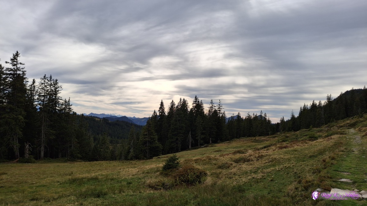 ◈ Schwarzenberg (Δ 1703m), 2026/09/20 16:23 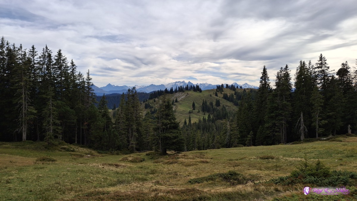 ◈ Schwarzenberg (Δ 1694m), 2026/09/20 16:24 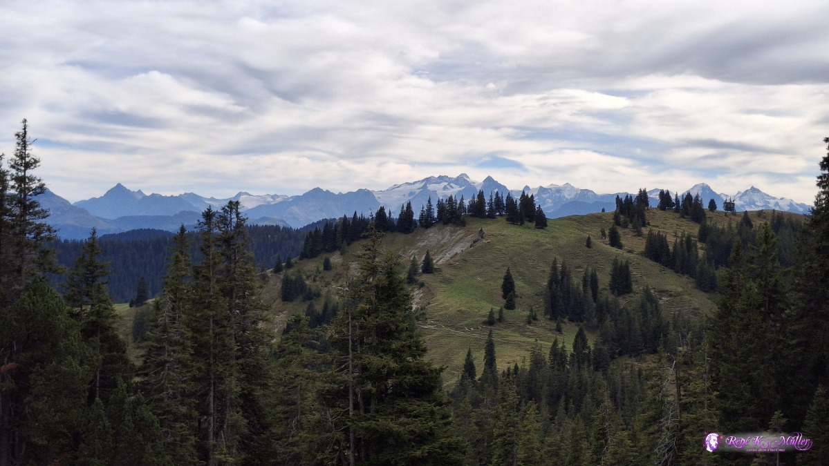 ◈ Schwarzenberg (Δ 1699m), 2026/09/20 16:24 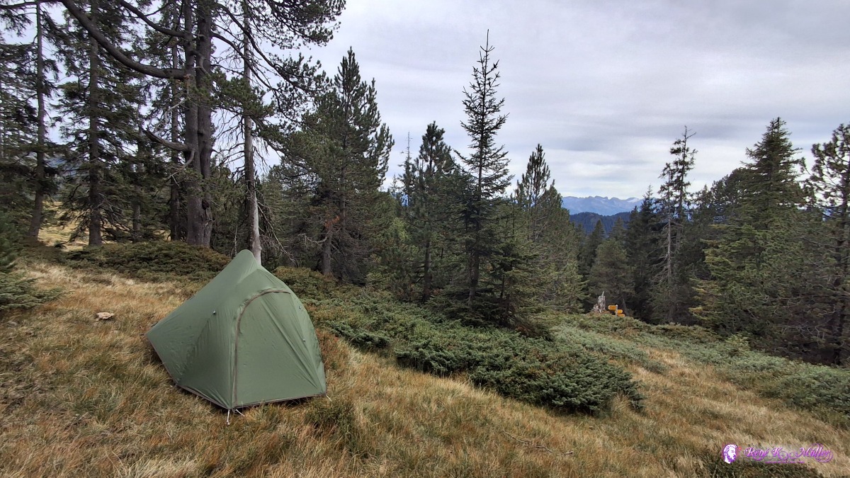 ◈ Schwarzenberg (Δ 1705m), 2026/09/20 16:47 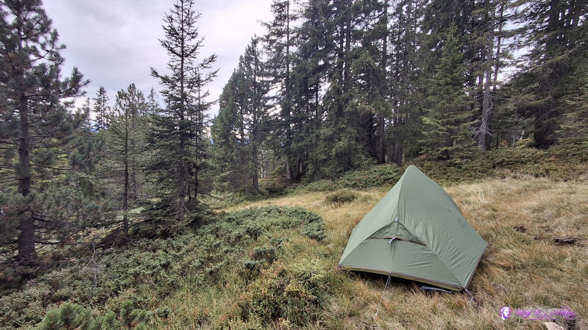 ◈ Schwarzenberg (Δ 1705m), 2026/09/20 16:47 Monday 2026/09/21: Rickmettlen (1642m) - Langis - Glaubenberg - Sattelpass - LooGood sleep, mild temperatures at night - the sky gets overcast during the night, providing some shade. Instead to hike the crest of Schlieregrat which I know from previous hike, I descend down more in the valley, better view and experience than on the crest which is thick forest giving no view. Reaching Schwendi-Kaltbad, refilling some waterbottles - and continue to Langis and then ascend along paved road up to Glaubenberg, and enter some military zone, and checking the bulletins which announce time when the region is closed due training, but today it's good (but not the next day), reaching Sattelpass - everywhere wild blueberries to pick. The clouds are low hanging flying over the ridge around Sattelpass - I continue a bit furher to the farm named Loo, and around the edge I find a nice spot again.
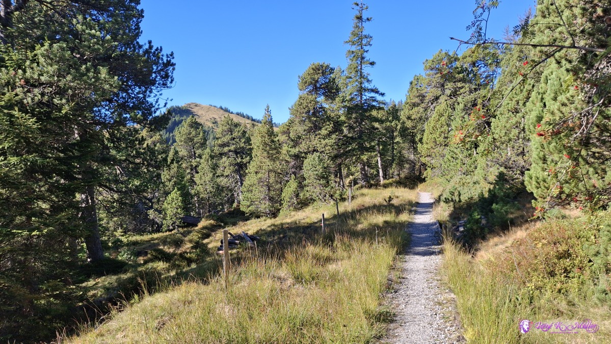
 2026/09/21 09:42 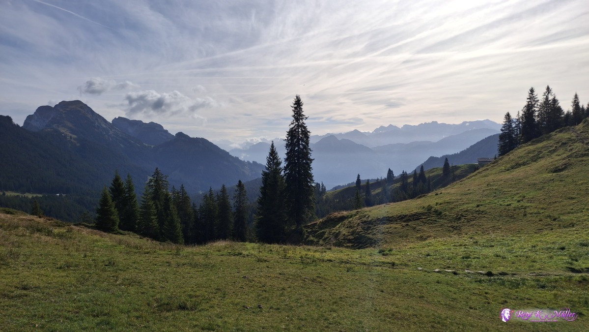 ◈ Alpnach (Δ 1657m), 2026/09/21 09:53 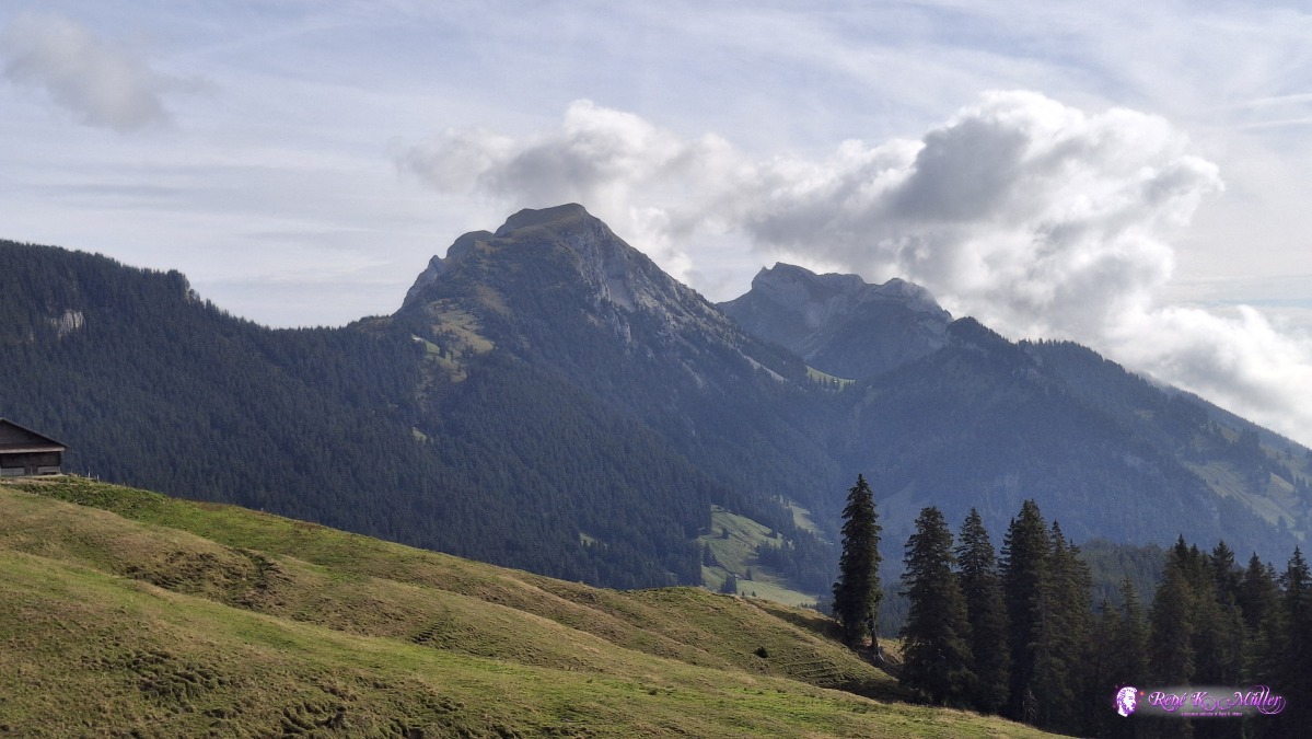 ◈ Alpnach (Δ 1638m), 2026/09/21 10:08 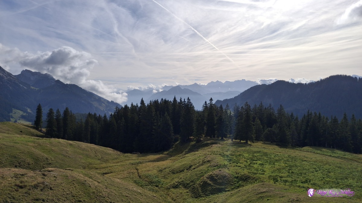 ◈ Alpnach (Δ 1627m), 2026/09/21 10:08 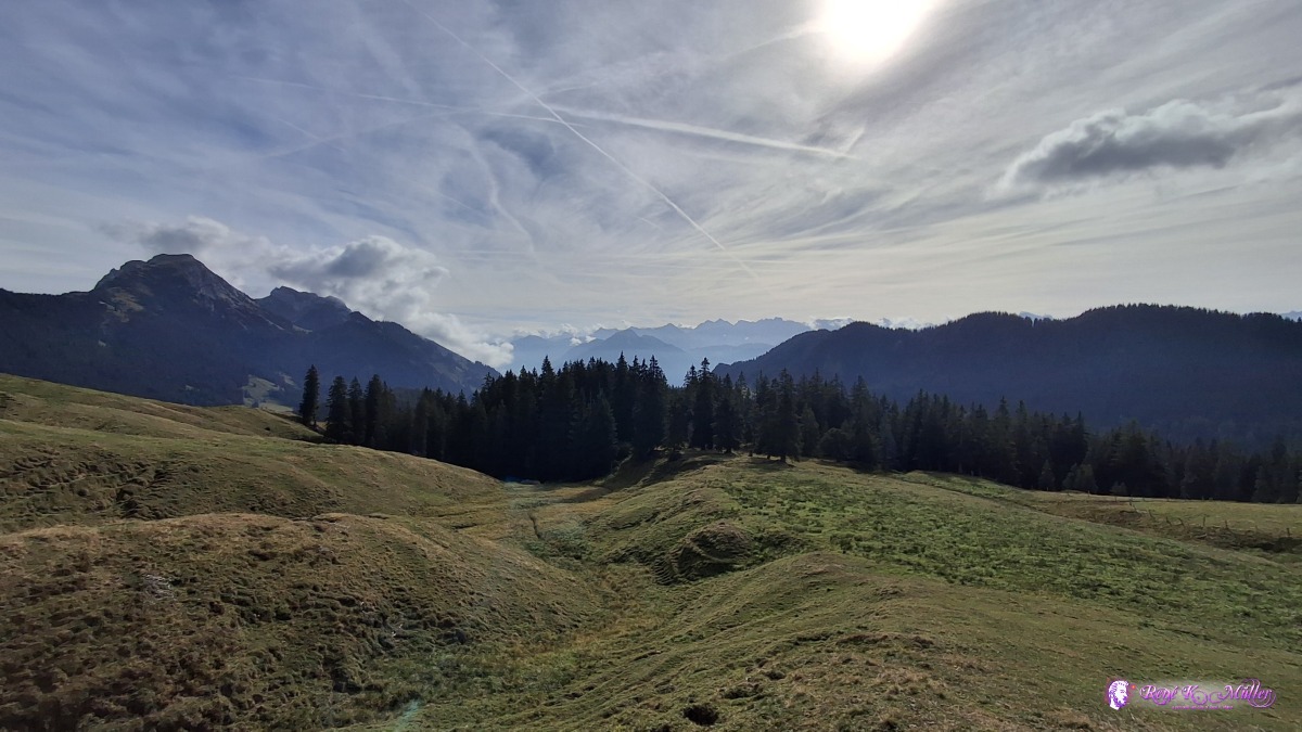 ◈ Alpnach (Δ 1635m), 2026/09/21 10:08 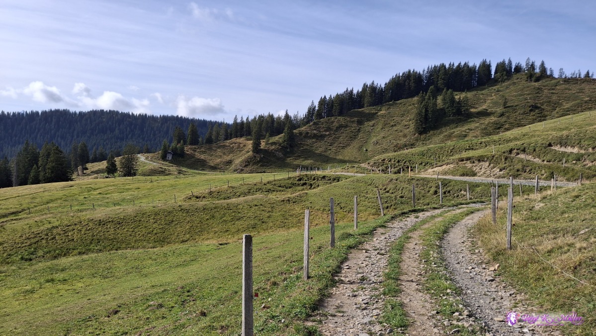 ◈ Alpnach (Δ 1632m), 2026/09/21 10:09 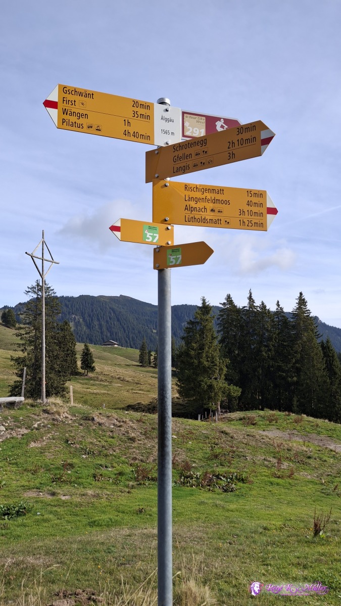 ◈ Alpnach (Δ 1646m), 2026/09/21 10:15 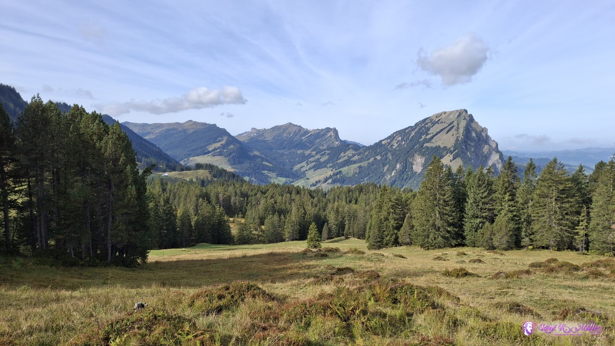 2026/09/21 10:32 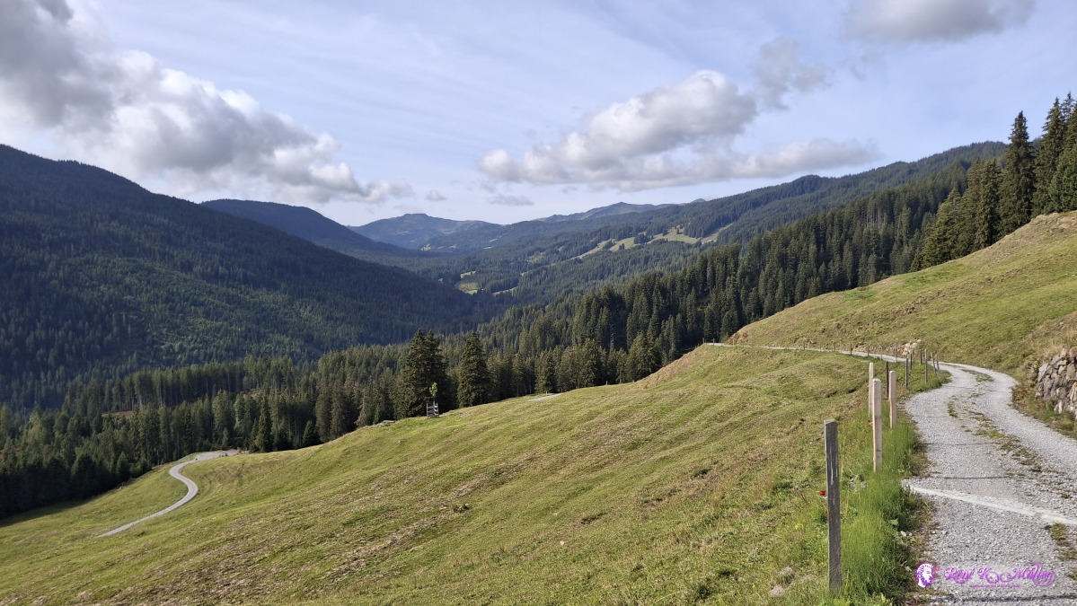 ◈ Alpnach (Δ 1535m), 2026/09/21 11:05 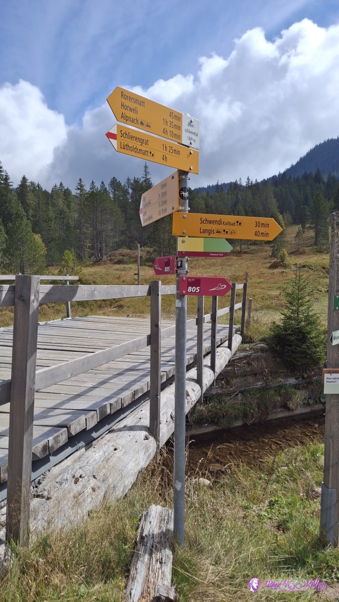 2026/09/21 12:35 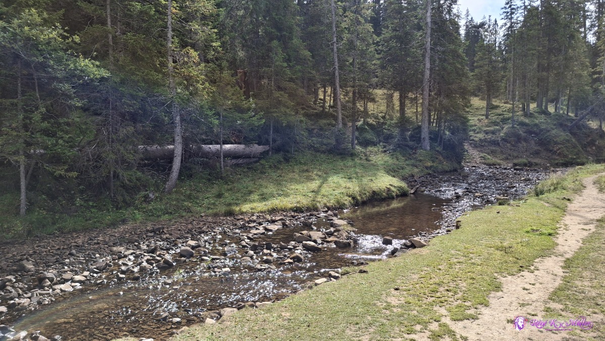 ◈ Schwendi Kaltbad, Sarnen (Δ 1465m), 2026/09/21 12:45 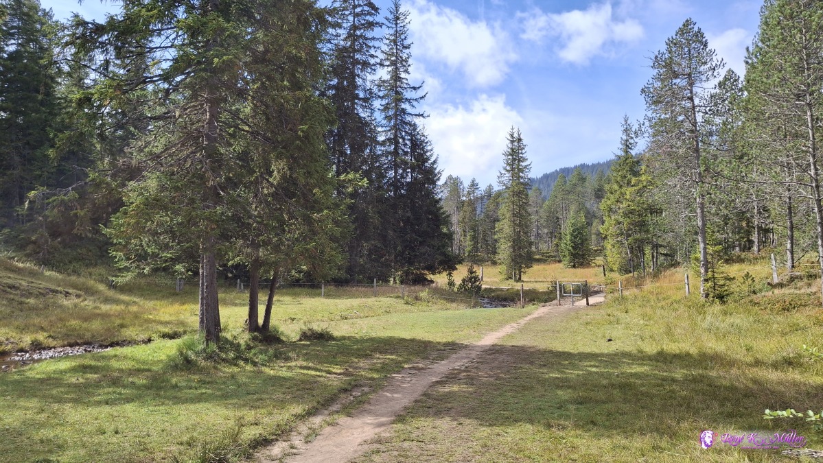 ◈ Schwendi Kaltbad, Sarnen (Δ 1466m), 2026/09/21 12:45 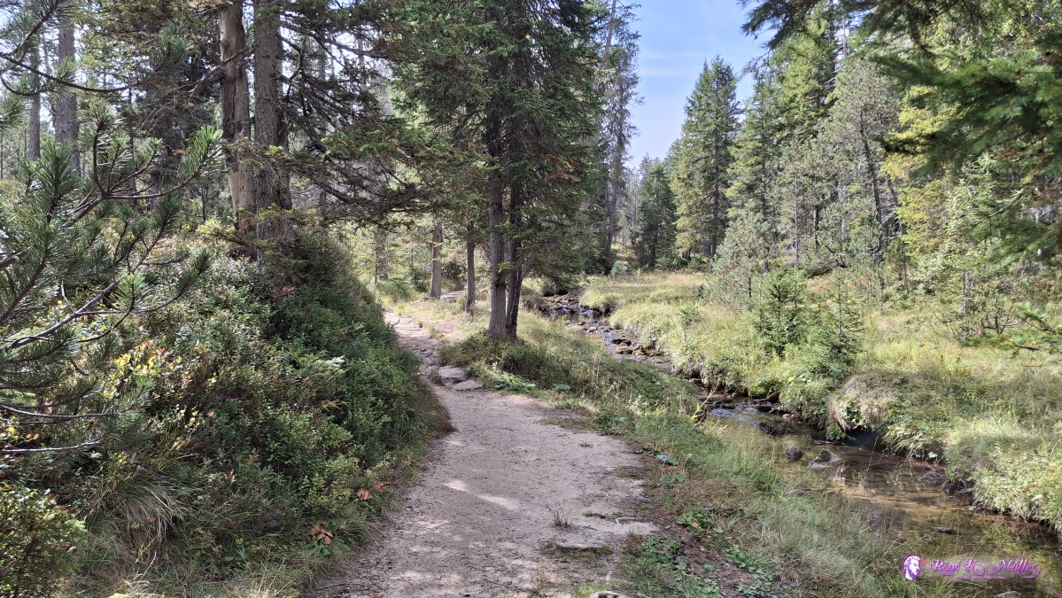 ◈ Schwendi Kaltbad, Sarnen (Δ 1482m), 2026/09/21 12:49 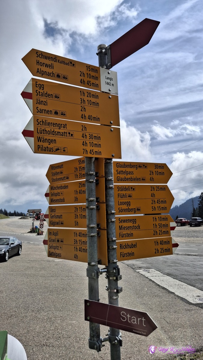 ◈ Langis, Sarnen (Δ 1499m), 2026/09/21 13:21 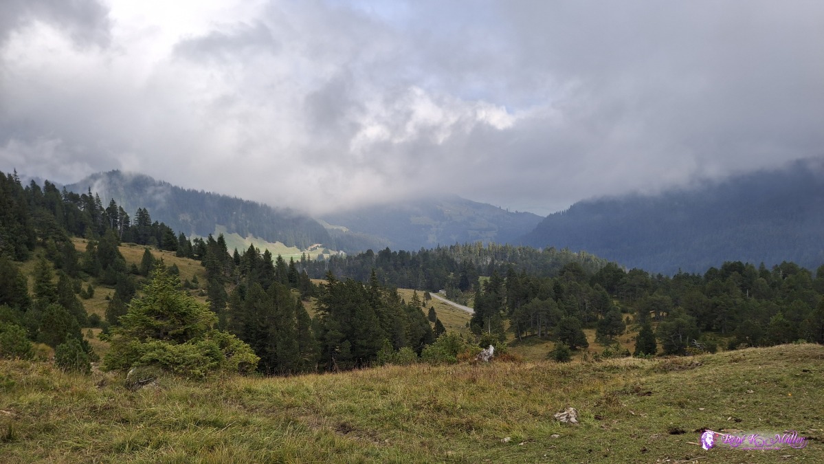 ◈ Sarnen (Δ 1743m), 2026/09/21 14:15 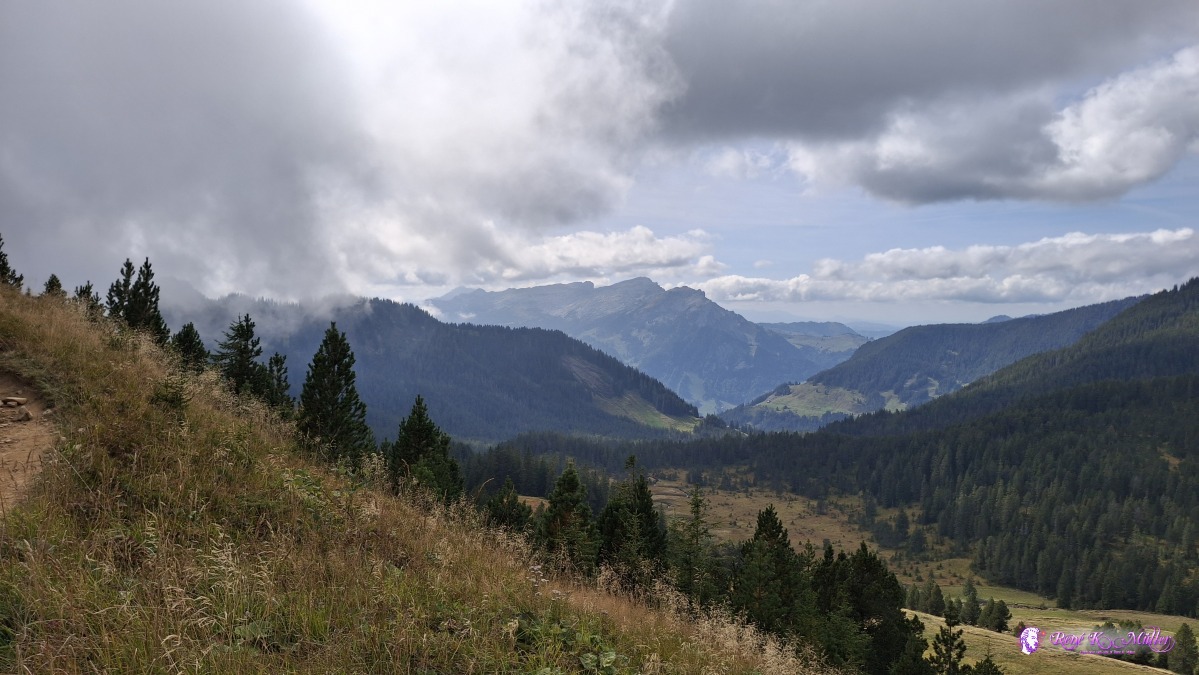 ◈ Sarnen (Δ 1794m), 2026/09/21 14:22 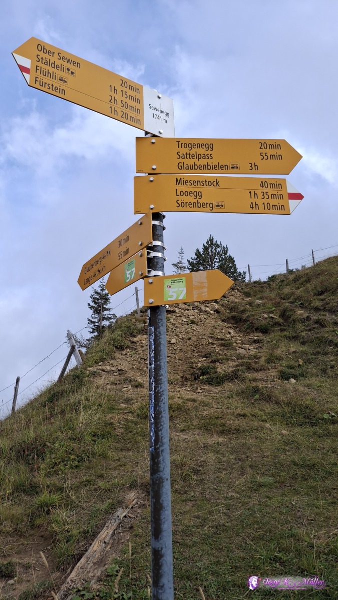 ◈ Sarnen (Δ 1794m), 2026/09/21 14:22 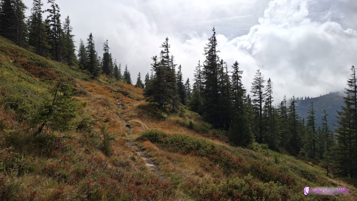 ◈ Sarnen (Δ 1807m), 2026/09/21 14:54 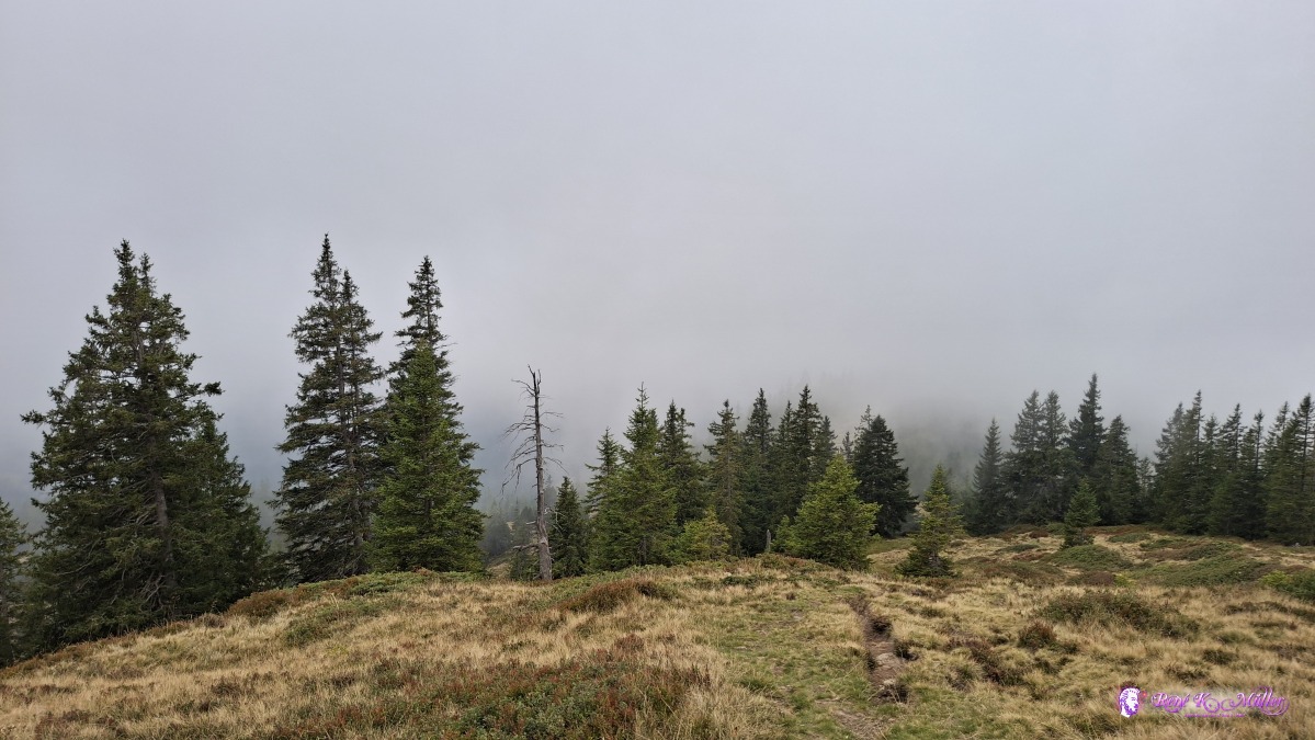 ◈ Sarnen (Δ 1824m), 2026/09/21 15:00 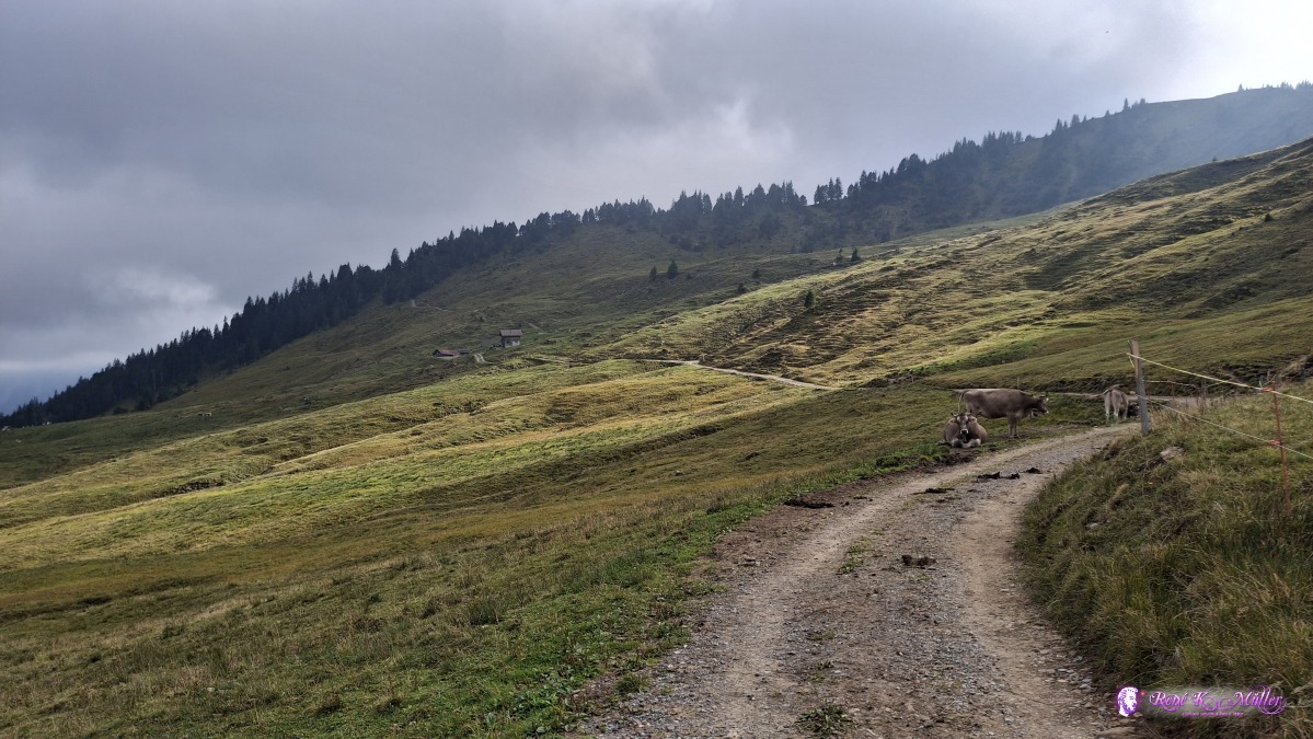 ◈ Flühli (Δ 1658m), 2026/09/21 16:19 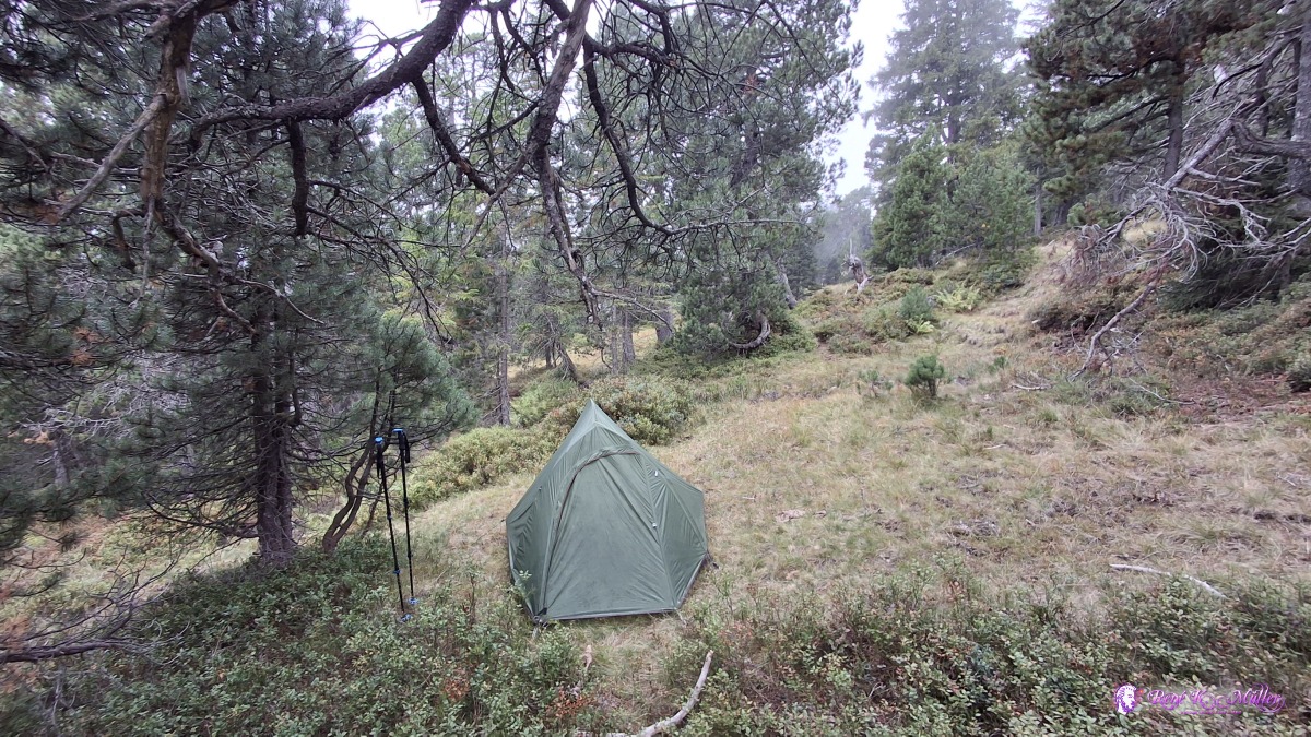 ◈ Giswil (Δ 1723m), 2026/09/21 16:54 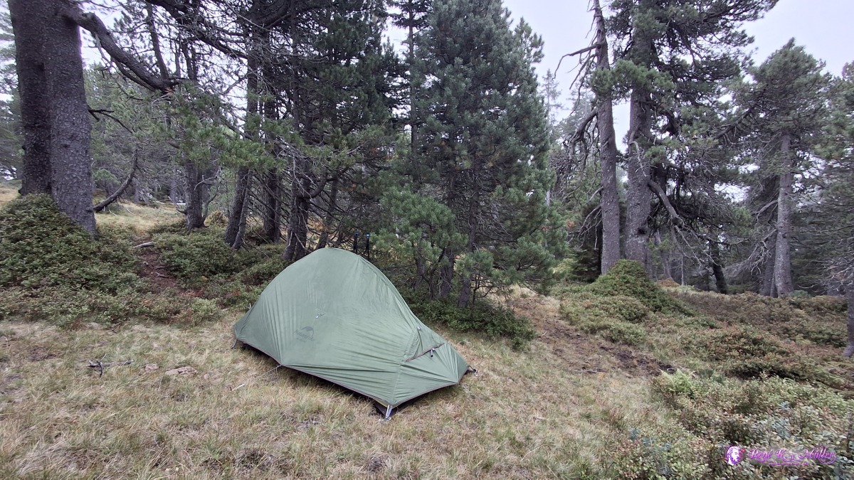 ◈ Giswil (Δ 1723m), 2026/09/21 16:55 Tuesday 2026/09/22: Loo - Glaubenbielen (1611m) - Giswil (484m)The sky is clear unlike yesterday, a bit north wind - ideal weather. A few farms at Ror, Sachsler Unterwengen, Schwander Unterwengen, and around 12:00 reach Glaubenbielen; and I decide to descend to Giswil. About 1200m descend, so I take the time, first over meadows and beautiful sight to Sarnersee and seeing Pilatus on the left, and Stanserhorn on the right - the hiking path is long winding, even once ascending again ~50-70m (odd), the descend is now mostly in the forest, north-east facing slope, so also mostly in the shade and the descend gets steeper and steeper, and almost abruptly becomes flatter and reaching the meadows and sunlight again. Along the river Laui entering the village of Giswil, and the train station - where this hike ends ~15:00, apprx. 3 hours descending from 1611m down to 484m.
 ◈ Giswil (Δ 1721m), 2026/09/22 10:06 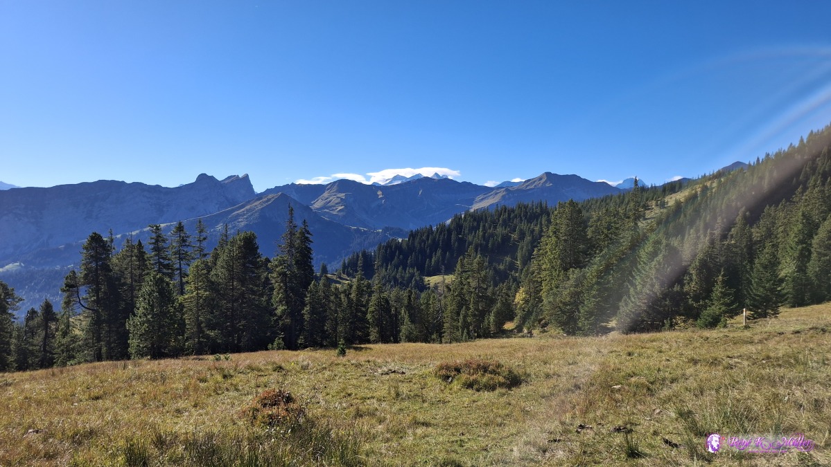 ◈ Giswil (Δ 1697m), 2026/09/22 10:09 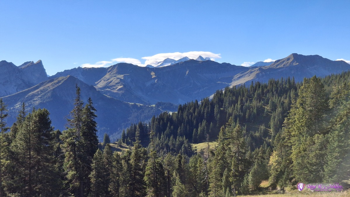 ◈ Giswil (Δ 1697m), 2026/09/22 10:09 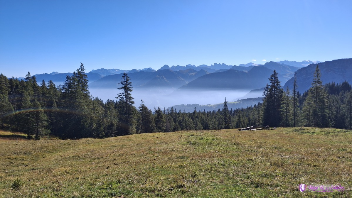 ◈ Giswil (Δ 1663m), 2026/09/22 10:15 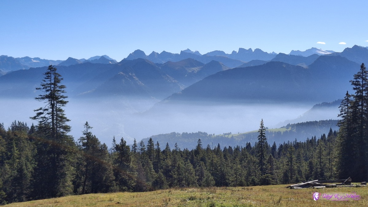 ◈ Giswil (Δ 1663m), 2026/09/22 10:15 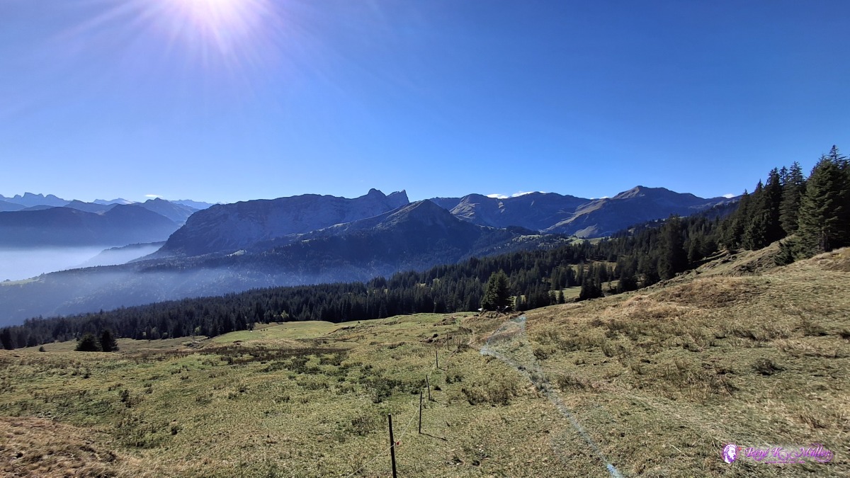 ◈ Giswil (Δ 1650m), 2026/09/22 10:25 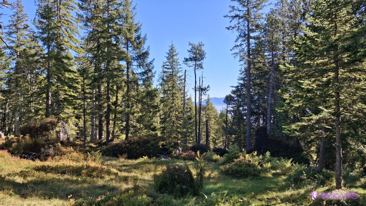 ◈ Giswil (Δ 1625m), 2026/09/22 10:39 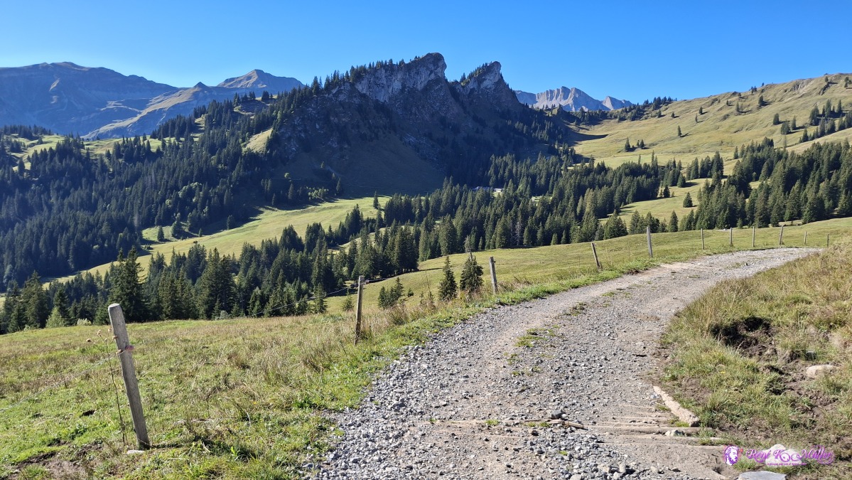 ◈ Giswil (Δ 1587m), 2026/09/22 10:44 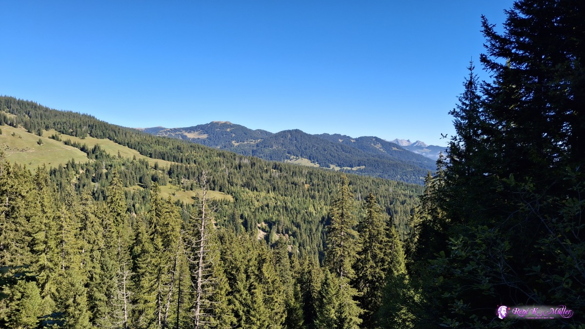 ◈ Giswil (Δ 1588m), 2026/09/22 11:09 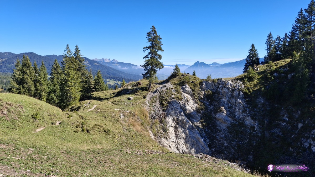 ◈ Giswil (Δ 1603m), 2026/09/22 11:12 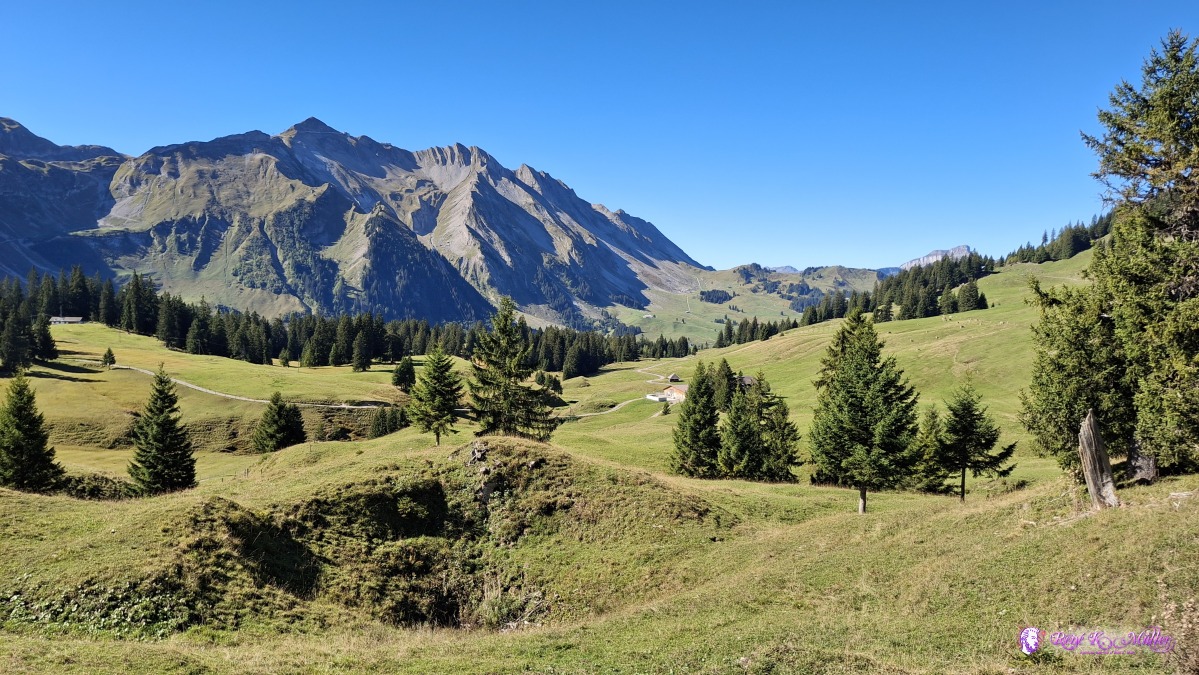 ◈ Giswil (Δ 1625m), 2026/09/22 11:17 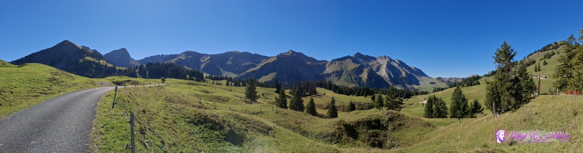 ◈ Giswil (Δ 1625m), 2026/09/22 11:17 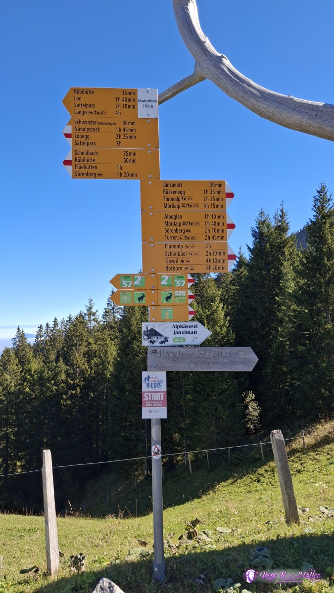 ◈ Giswil (Δ 1641m), 2026/09/22 11:35 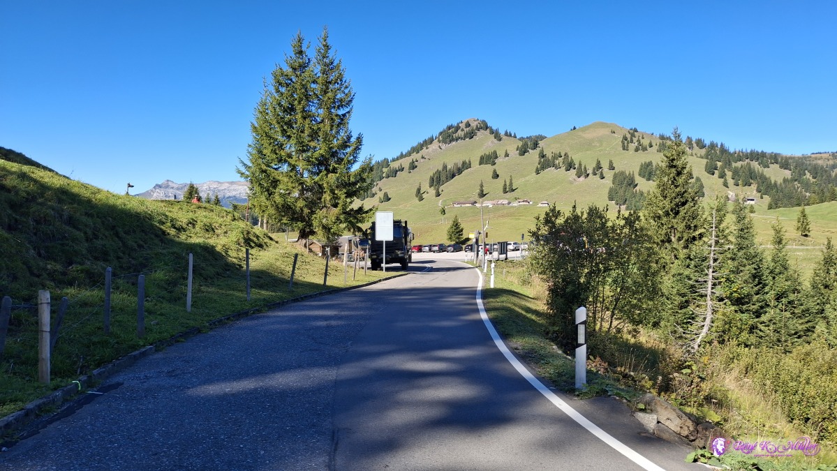 ◈ Giswil (Δ 1622m), 2026/09/22 11:39 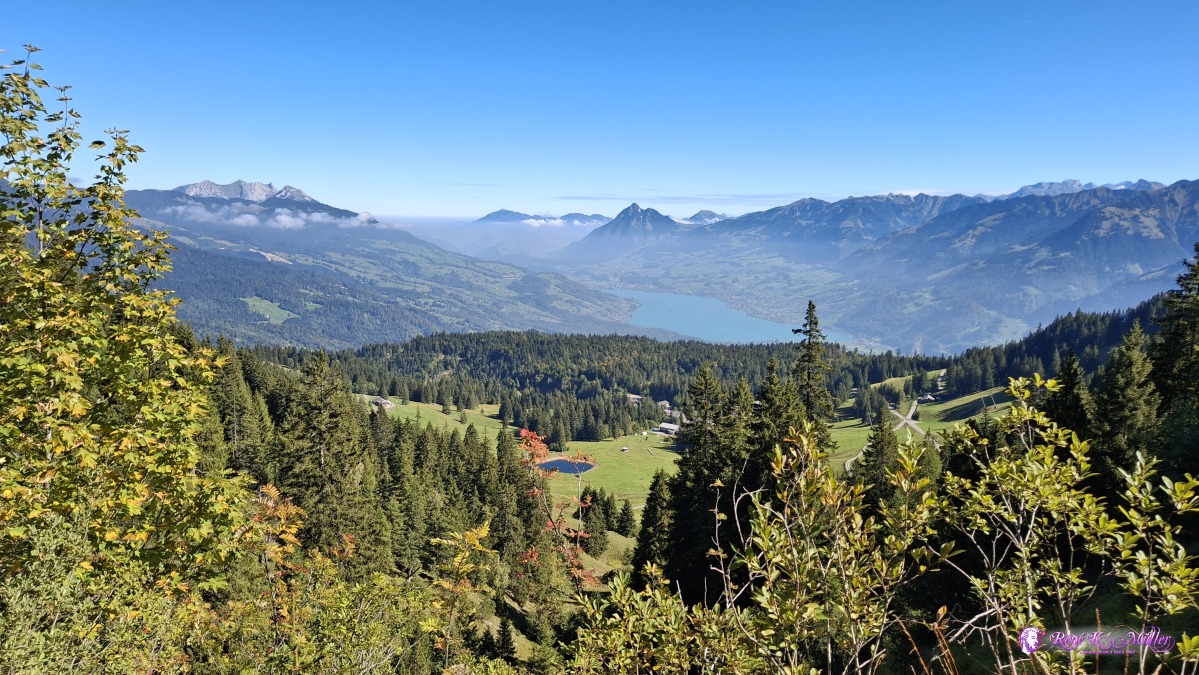 Left-to-right: Pilatus, Rigi (center) and Stanserhorn ◈ Mörlialp, Giswil (Δ 1639m), 2026/09/22 11:55 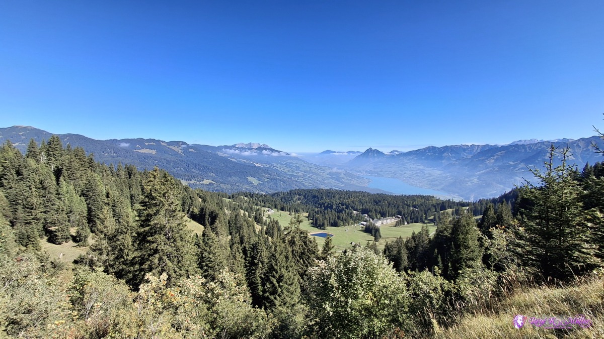 Left-to-right: Pilatus, Rigi (center) and Stanserhorn ◈ Mörlialp, Giswil (Δ 1644m), 2026/09/22 11:56 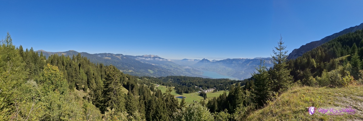 ◈ Mörlialp, Giswil (Δ 1644m), 2026/09/22 11:57 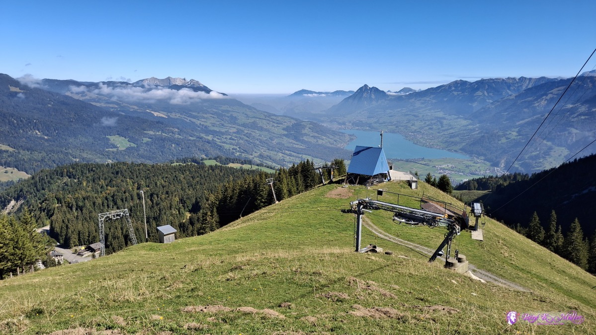 ◈ Mörlialp, Giswil (Δ 1629m), 2026/09/22 12:09 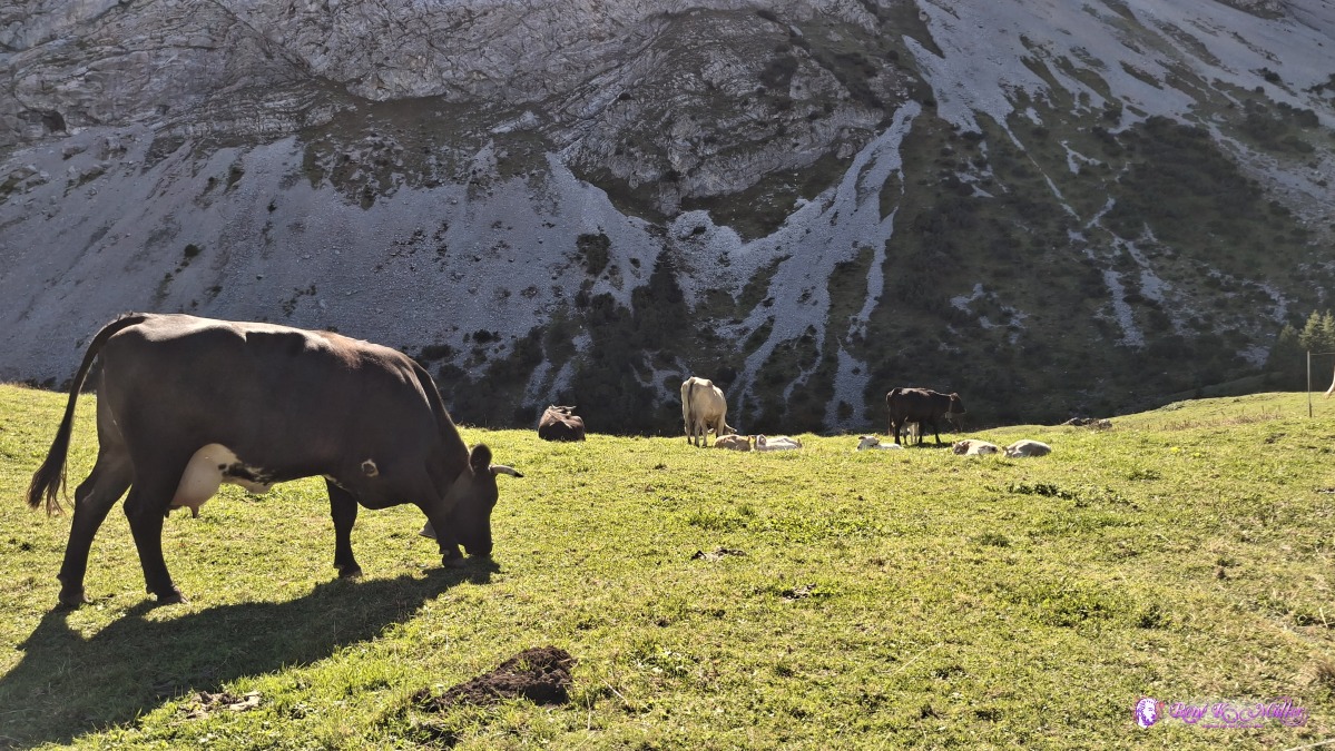 ◈ Mörlialp, Giswil (Δ 1617m), 2026/09/22 12:12 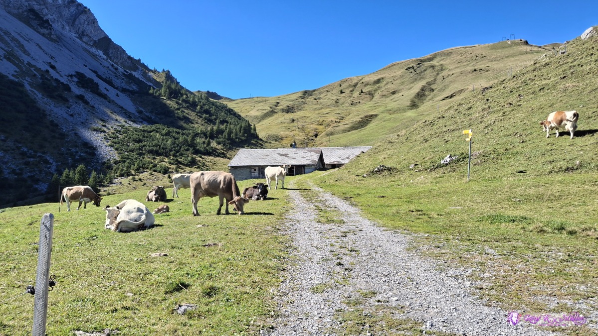 ◈ Mörlialp, Giswil (Δ 1617m), 2026/09/22 12:12 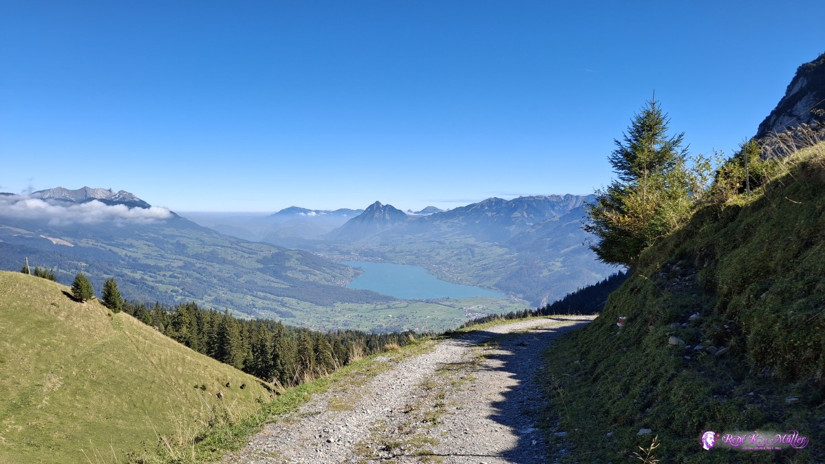 ◈ Mörlialp, Giswil (Δ 1617m), 2026/09/22 12:12 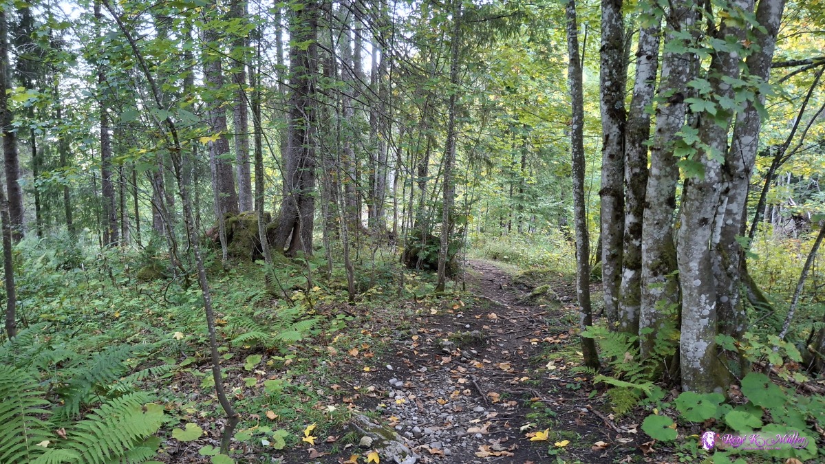 ◈ Mörlialp, Giswil (Δ 1399m), 2026/09/22 12:38 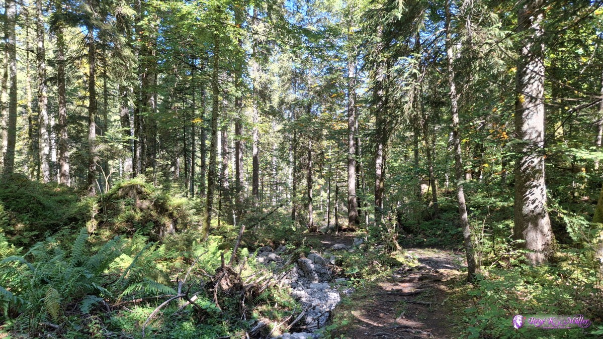 ◈ Mörlialp, Giswil (Δ 1377m), 2026/09/22 12:43 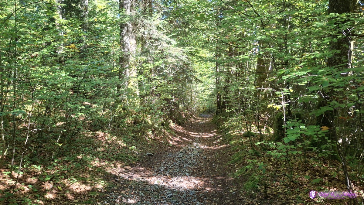 ◈ Mörlialp, Giswil (Δ 1357m), 2026/09/22 12:48 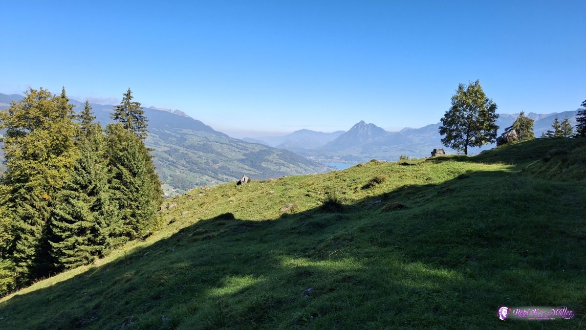 ◈ Giswil (Δ 1189m), 2026/09/22 13:06 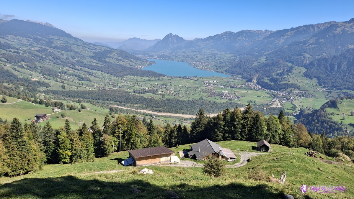 ◈ Giswil (Δ 1162m), 2026/09/22 13:09 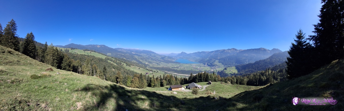 ◈ Giswil (Δ 1162m), 2026/09/22 13:09 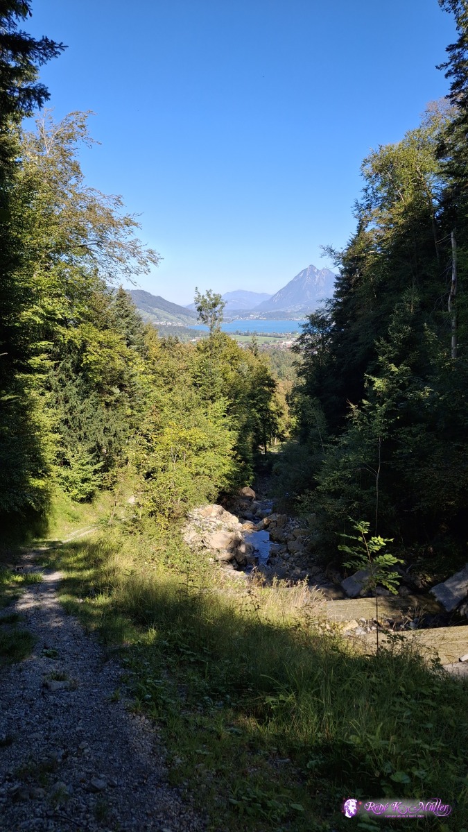 ◈ Kleinteil, Grossteil (Δ 693m), 2026/09/22 14:22 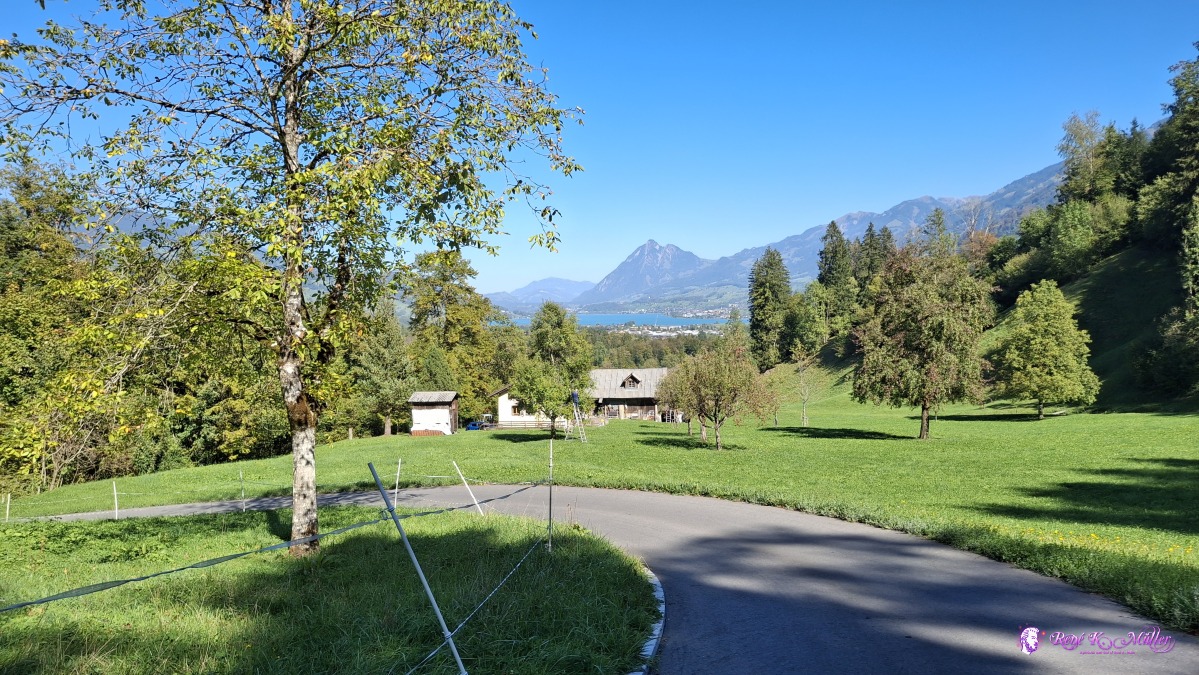 ◈ Kleinteil, Grossteil (Δ 624m), 2026/09/22 14:29 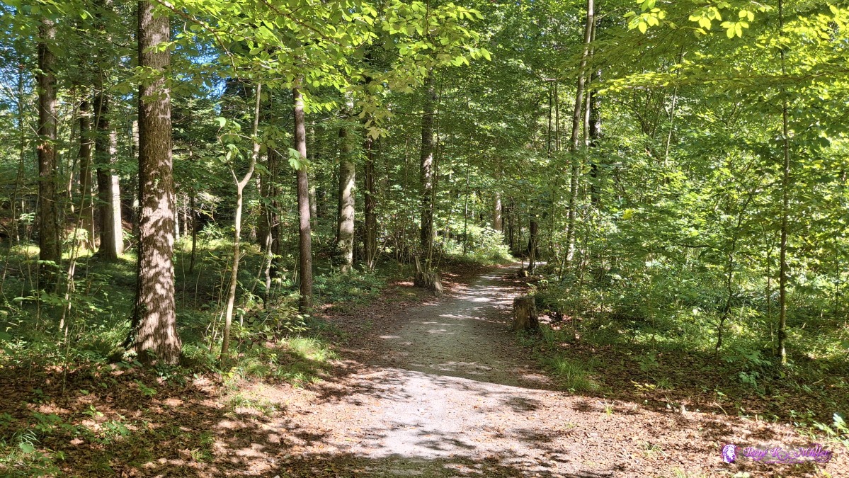 ◈ Kleinteil, Grossteil (Δ 558m), 2026/09/22 14:44 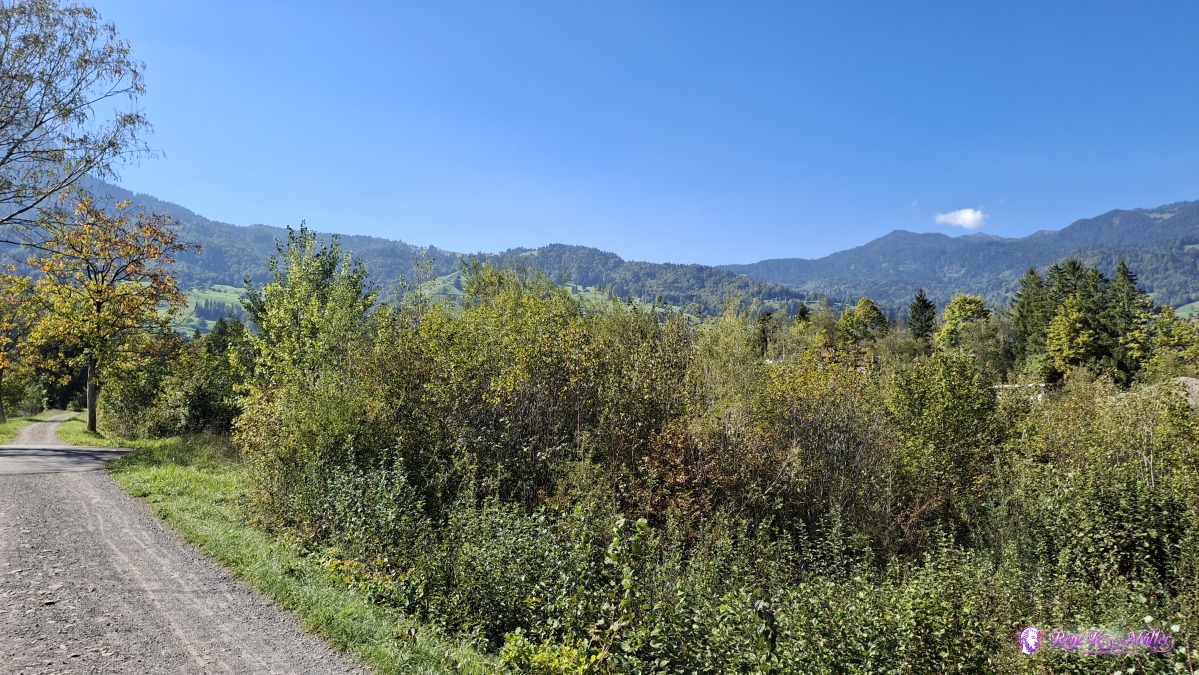 ◈ Grossteil (Δ 546m), 2026/09/22 14:53 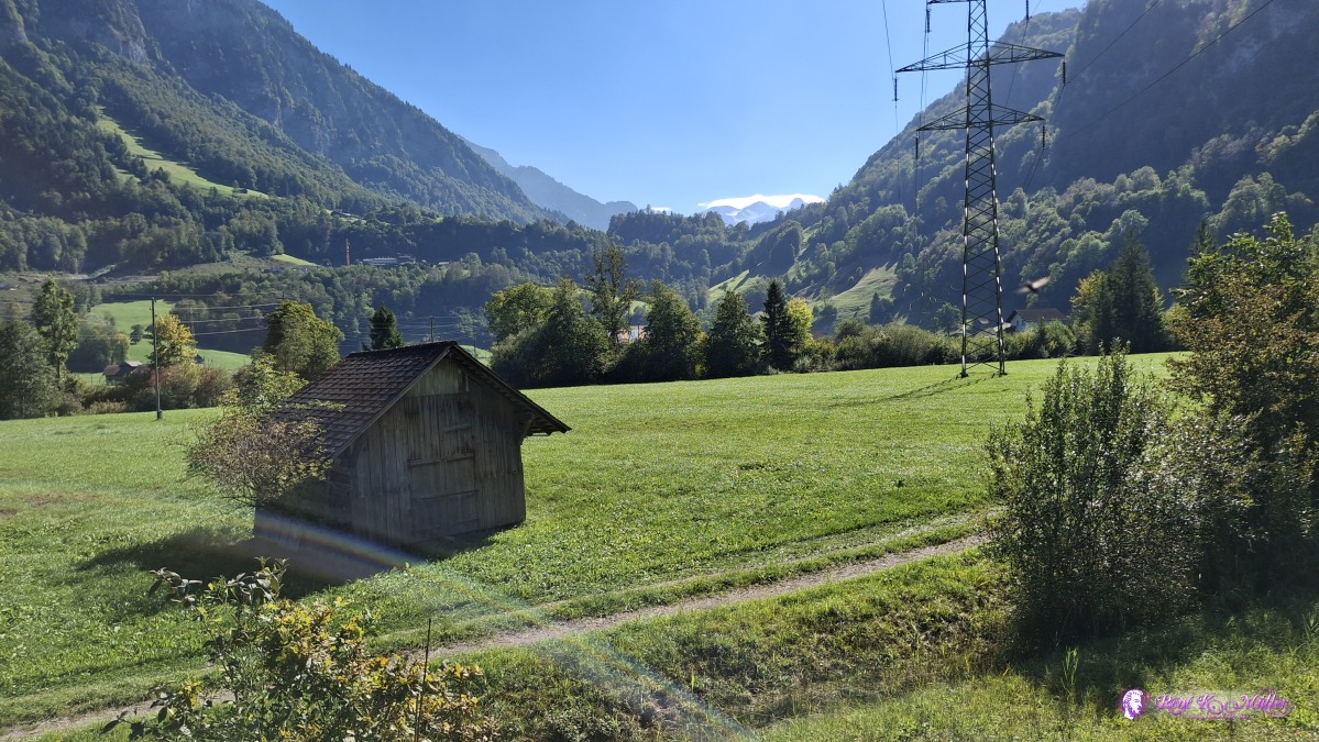 ◈ Grossteil (Δ 550m), 2026/09/22 14:53 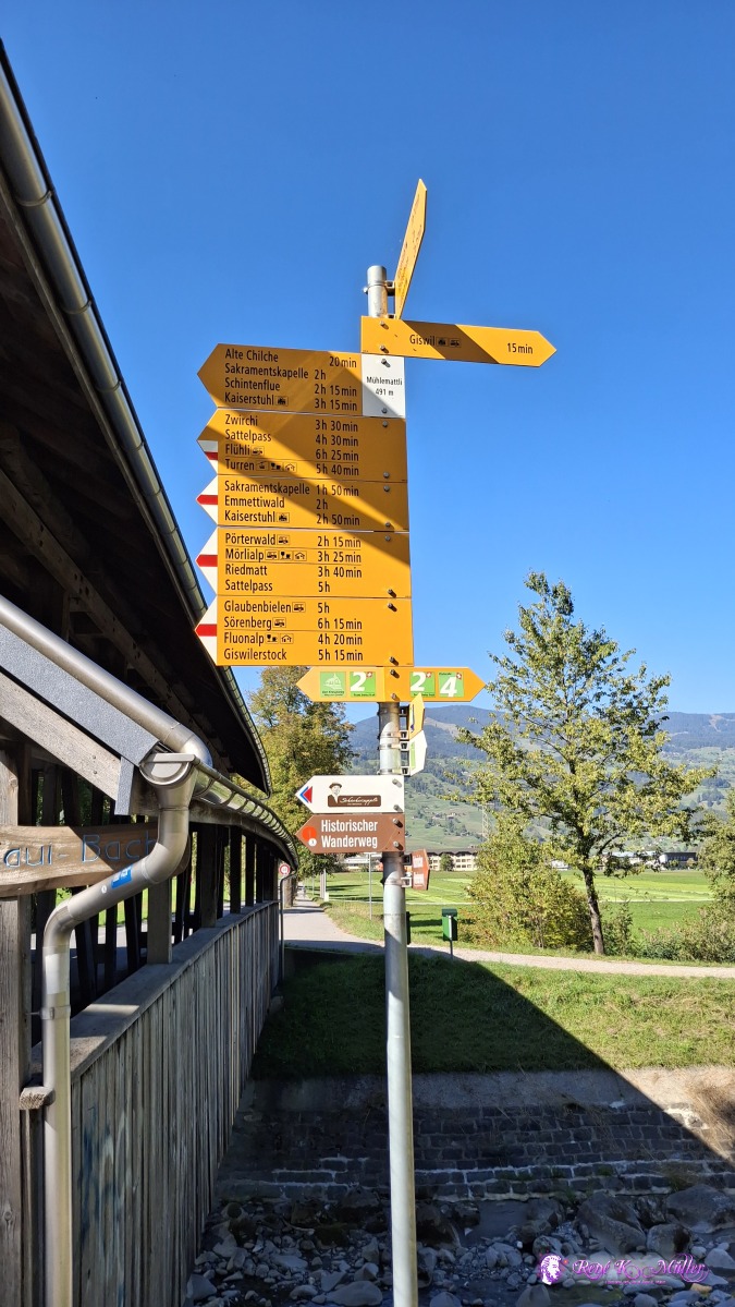 ◈ Grossteil (Δ 561m), 2026/09/22 14:57 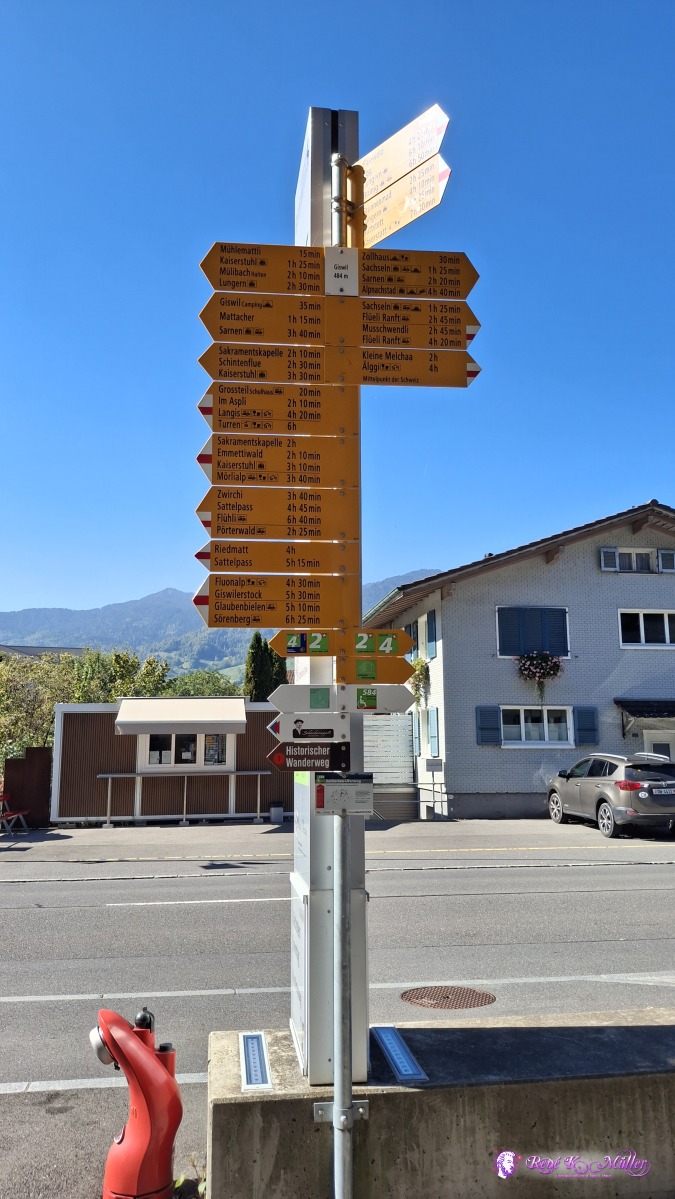 ◈ Grossteil (Δ 556m), 2026/09/22 15:08 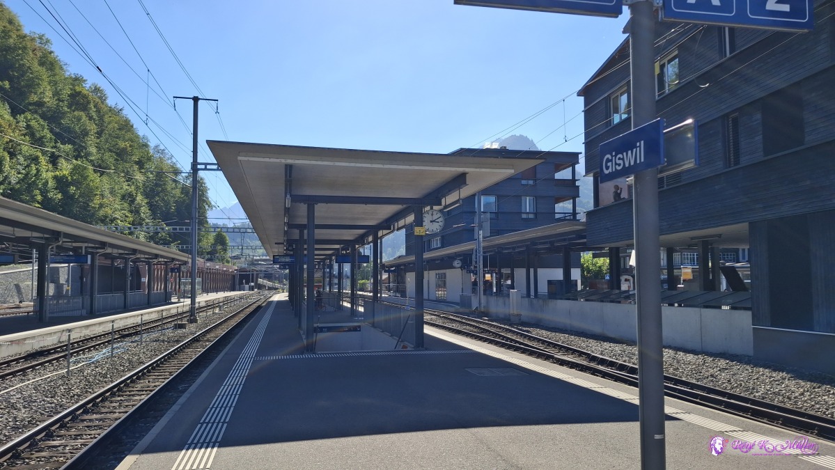 ◈ Grossteil (Δ 545m), 2026/09/22 15:10 The past months we had multiple heatwaves in Switzerland, yet, this region is a Hochmoor, so the ground naturally retains the water - and so sufficient water sources along the hike; and the trees looked more healthy than other regions I hiked this years. That's it. Content:
|