

 2010: India
2009: France: Two Tours
2008: Tour de Romandie
2008: Zug - Bern - Zug
2008: Strasbourg
2008: Europe
2007: France
2005: France & Italy
2004: USA: Denver - Sedona
2004: Lenzburg - Marseille
2004: La Gomera
2003: Sardinien
2003: La Gomera
2002: Korsika
2002: Bordeaux - Hendaye
1998: Switzerland
1997: USA
1996: USA: Colorado & Arizona
My Experiences with Channeling
Protection of ...
Earthkeeper Vision
Art of Descension
Reincarnation and The Self
Multidimensional Realities
Third Eye
Spiritual Evolution
I Am The Light
Sleeping Humankind
Numbers
Spirit Diary
Quotes
2010: India
2009: France: Two Tours
2008: Tour de Romandie
2008: Zug - Bern - Zug
2008: Strasbourg
2008: Europe
2007: France
2005: France & Italy
2004: USA: Denver - Sedona
2004: Lenzburg - Marseille
2004: La Gomera
2003: Sardinien
2003: La Gomera
2002: Korsika
2002: Bordeaux - Hendaye
1998: Switzerland
1997: USA
1996: USA: Colorado & Arizona
My Experiences with Channeling
Protection of ...
Earthkeeper Vision
Art of Descension
Reincarnation and The Self
Multidimensional Realities
Third Eye
Spiritual Evolution
I Am The Light
Sleeping Humankind
Numbers
Spirit Diary
Quotes
|
"Yes, we can."
Barack Obama |
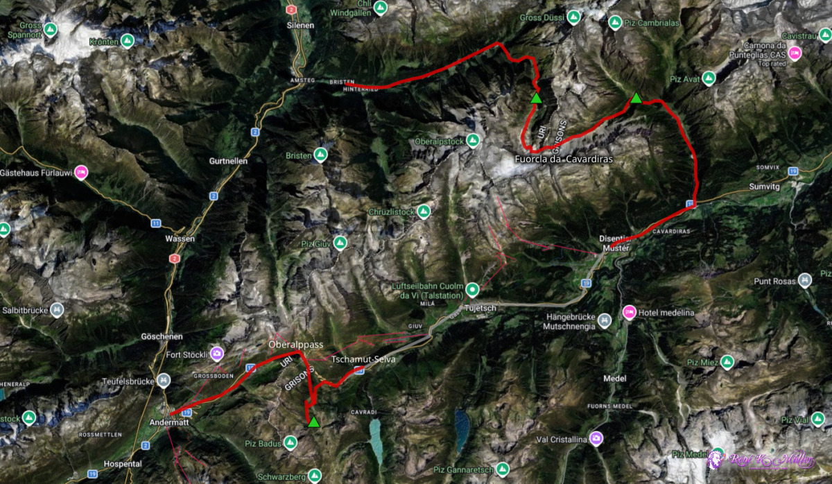
2026: Various Hikes / Tours4 Days Hike August 2026: Bristen - Cavardiras - Disentis - Oberalppass
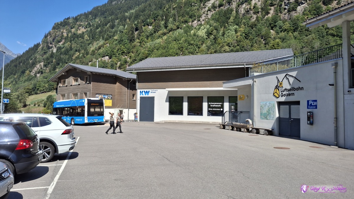
Thursday 2026/08/13: Bristen - Hinterbalm - BrunnibodenTaking the bus from Amsteg up to Bristen, Talstation Golzern 800m, and start the hike along the Chaerstelenbach, mild ascend - it's again a hot day with 25-30°C, I ascend to 1370m and then crossing the river, and steeper ascend along the Brunnibach - quite a wild river - have to rest for 20min to cool-off a bit in the shade. Continue and eventually the trail becomes more flat again, and reach a small hamlet with a series of small houses called Hinterbalmhuette - able to get fresh drinking water of the brook/creek nearby, the public fountain has no water.Again mild ascend from 1800m to 2000m, the sun sets already over the mountain range, and I hike in the shade again - after Bocki, I reach Brunniboden, a flat meadow where I decide to pitch my tent for tonight - the shadow is welcomed to cool-off. It took 4.5 hrs, longer than anticipated, but good so far.
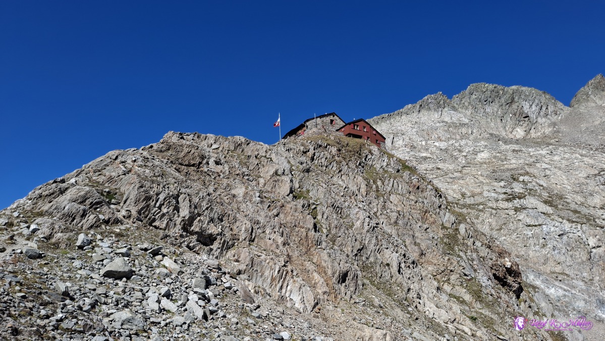
 ◈ Silblen, Silenen (Δ 899m), 2026/08/13 12:02 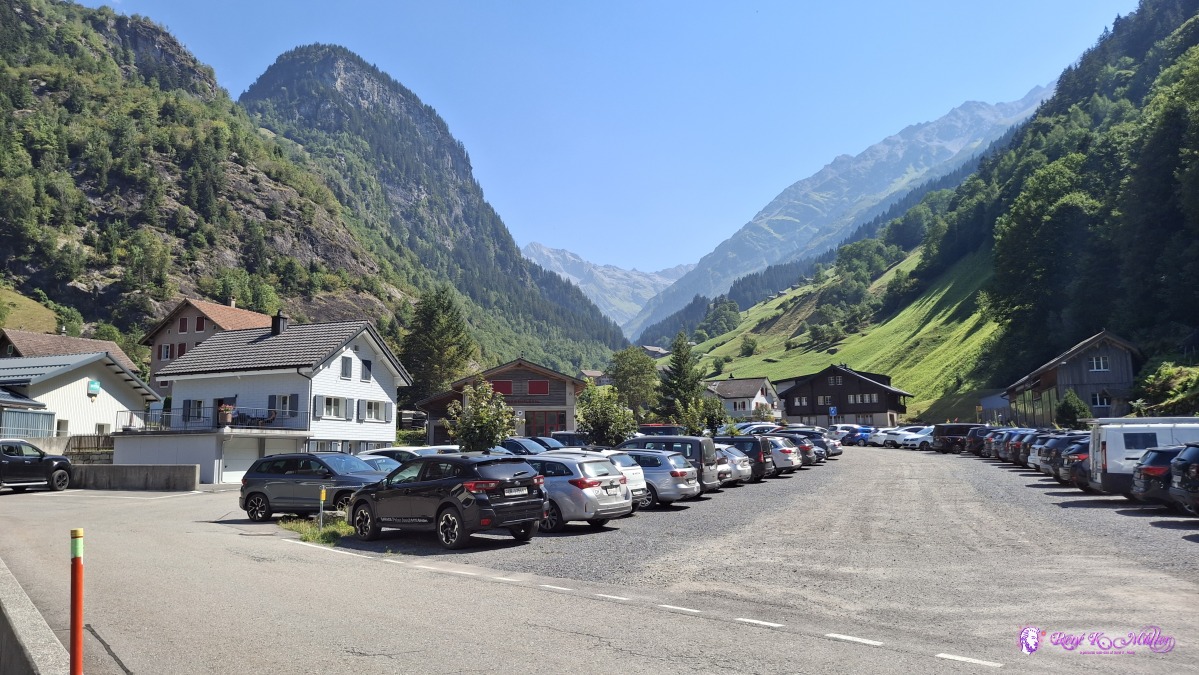 ◈ Silblen, Silenen (Δ 899m), 2026/08/13 12:02 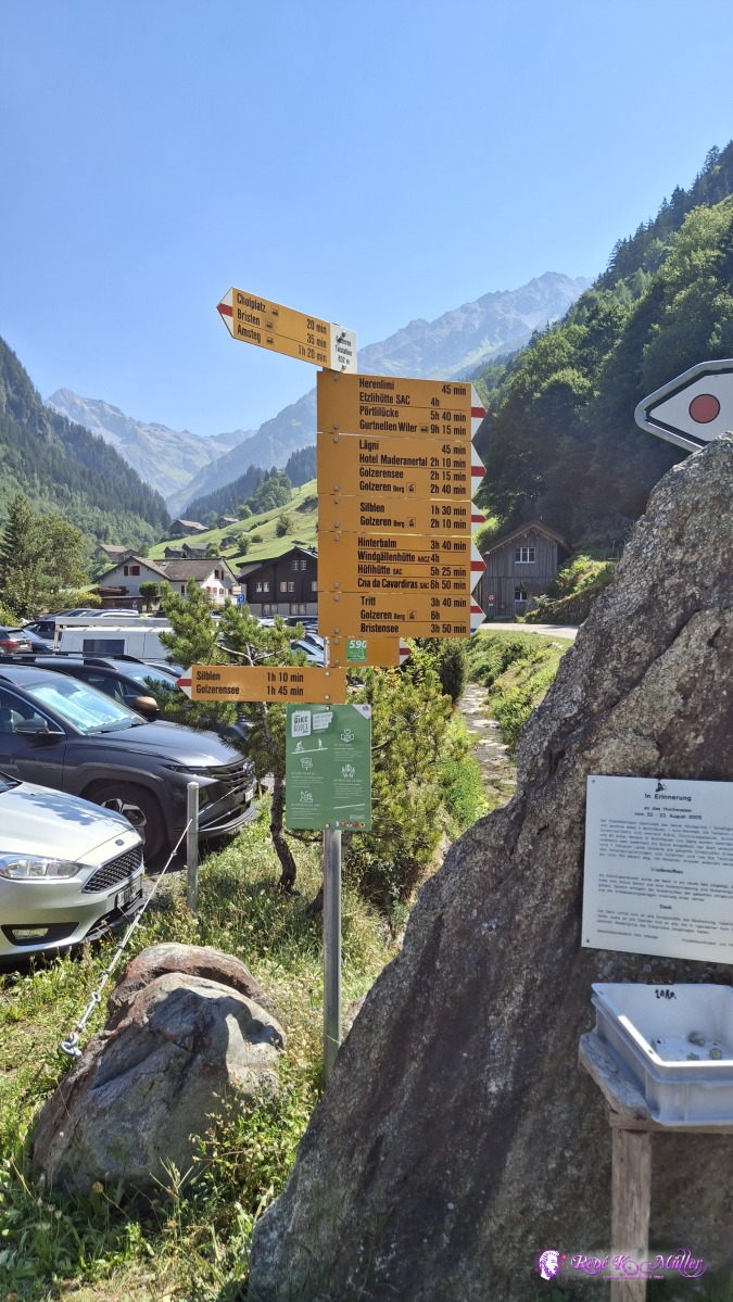 ◈ Silblen, Silenen (Δ 892m), 2026/08/13 12:03 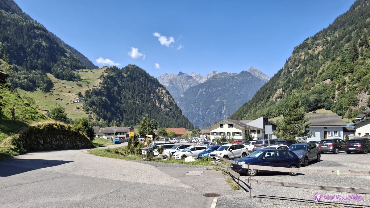 2026/08/13 12:04 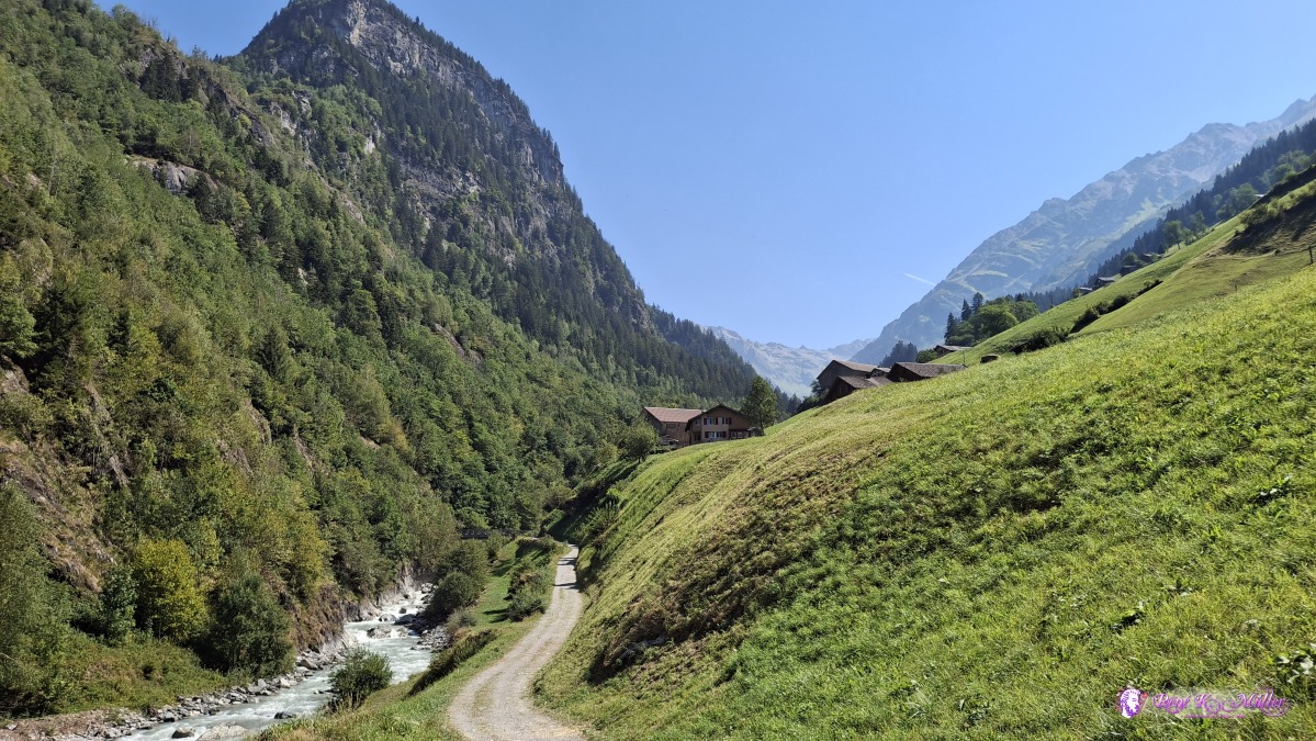 ◈ Silblen, Silenen (Δ 922m), 2026/08/13 12:09 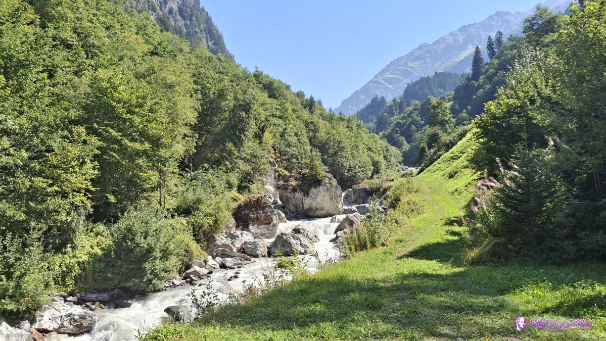 ◈ Silblen, Silenen (Δ 940m), 2026/08/13 12:12 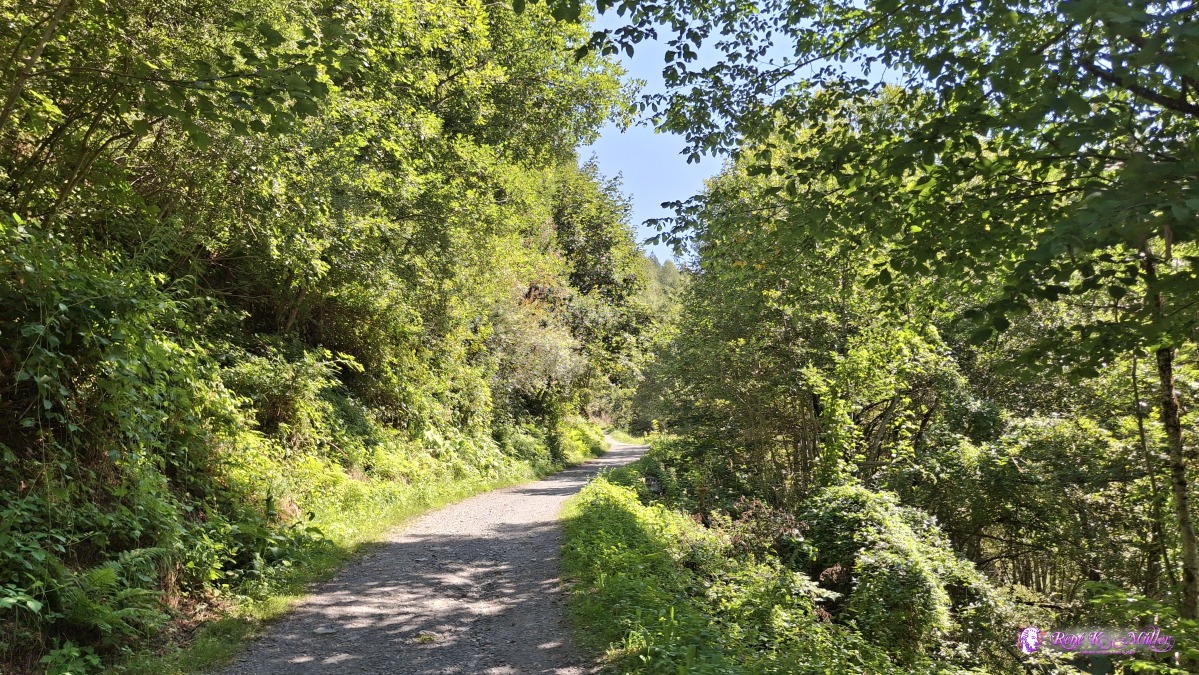 2026/08/13 12:19 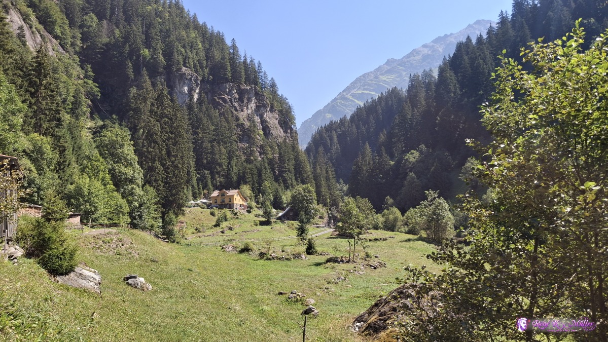 ◈ Silblen, Silenen (Δ 1068m), 2026/08/13 12:30 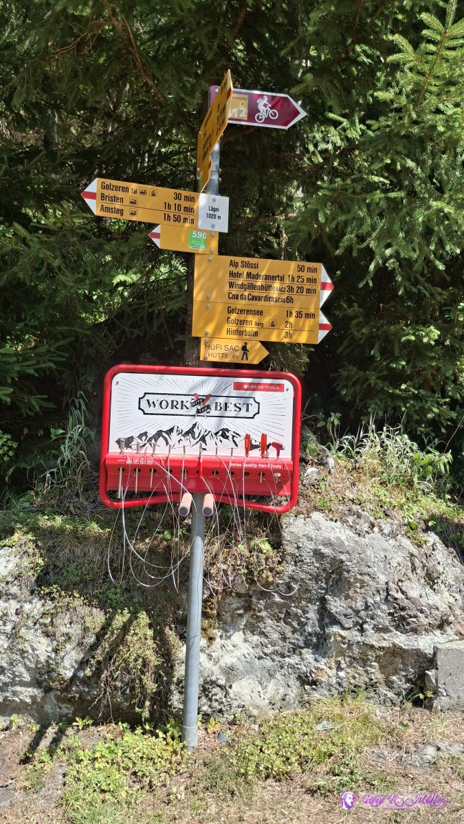 2026/08/13 12:33 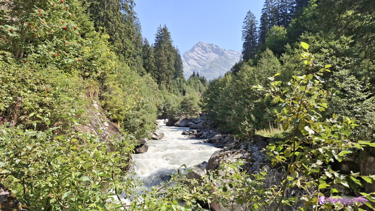 2026/08/13 12:37 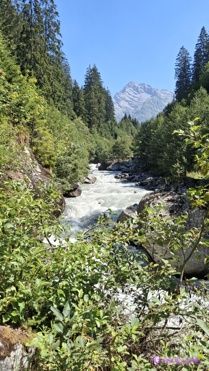 ◈ Silblen, Silenen (Δ 1124m), 2026/08/13 12:37 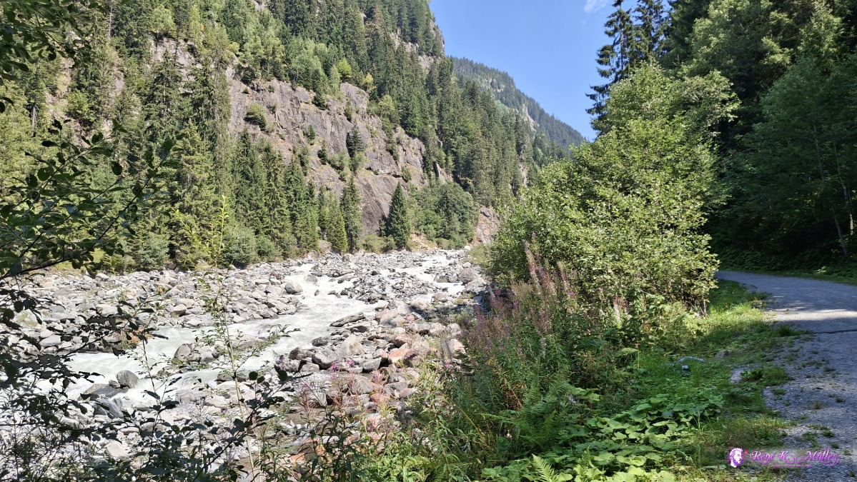 ◈ Silblen, Silenen (Δ 1175m), 2026/08/13 12:48 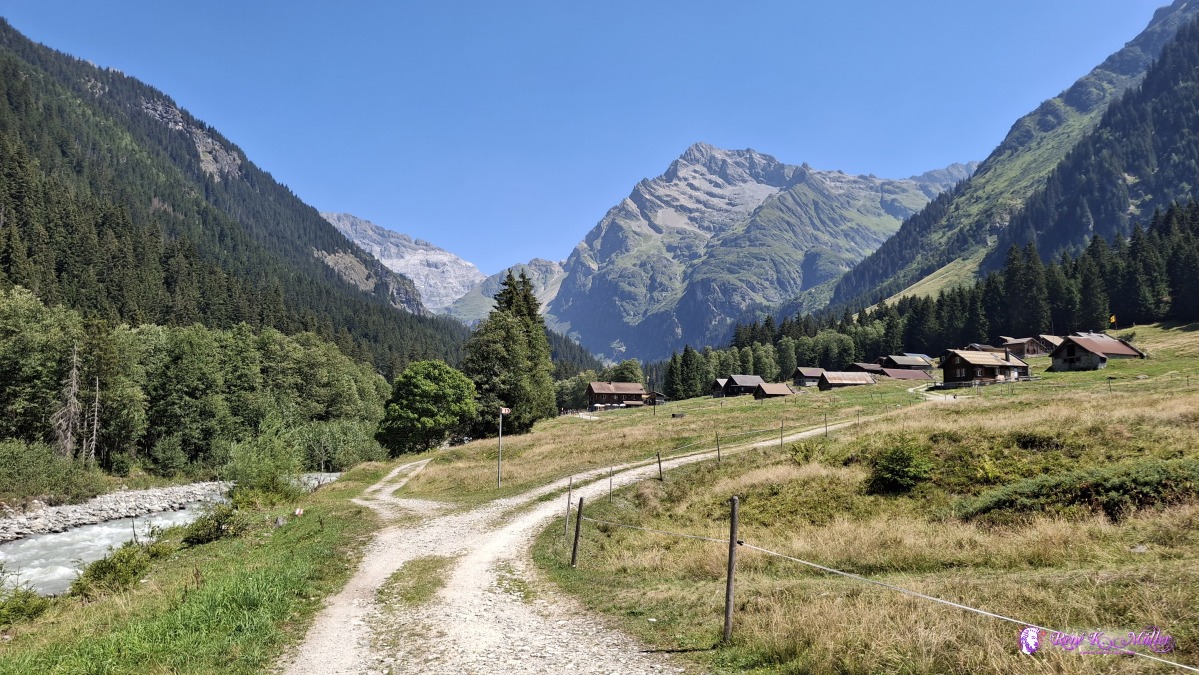 ◈ Silenen (Δ 1226m), 2026/08/13 13:05 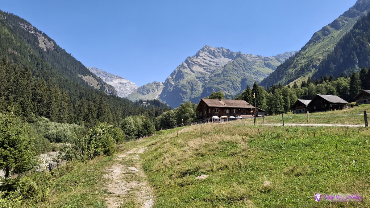 ◈ Silenen (Δ 1229m), 2026/08/13 13:07 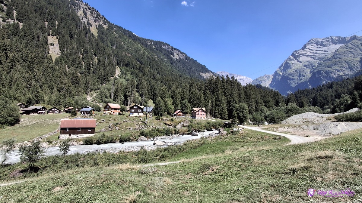 ◈ Silenen (Δ 1245m), 2026/08/13 13:12 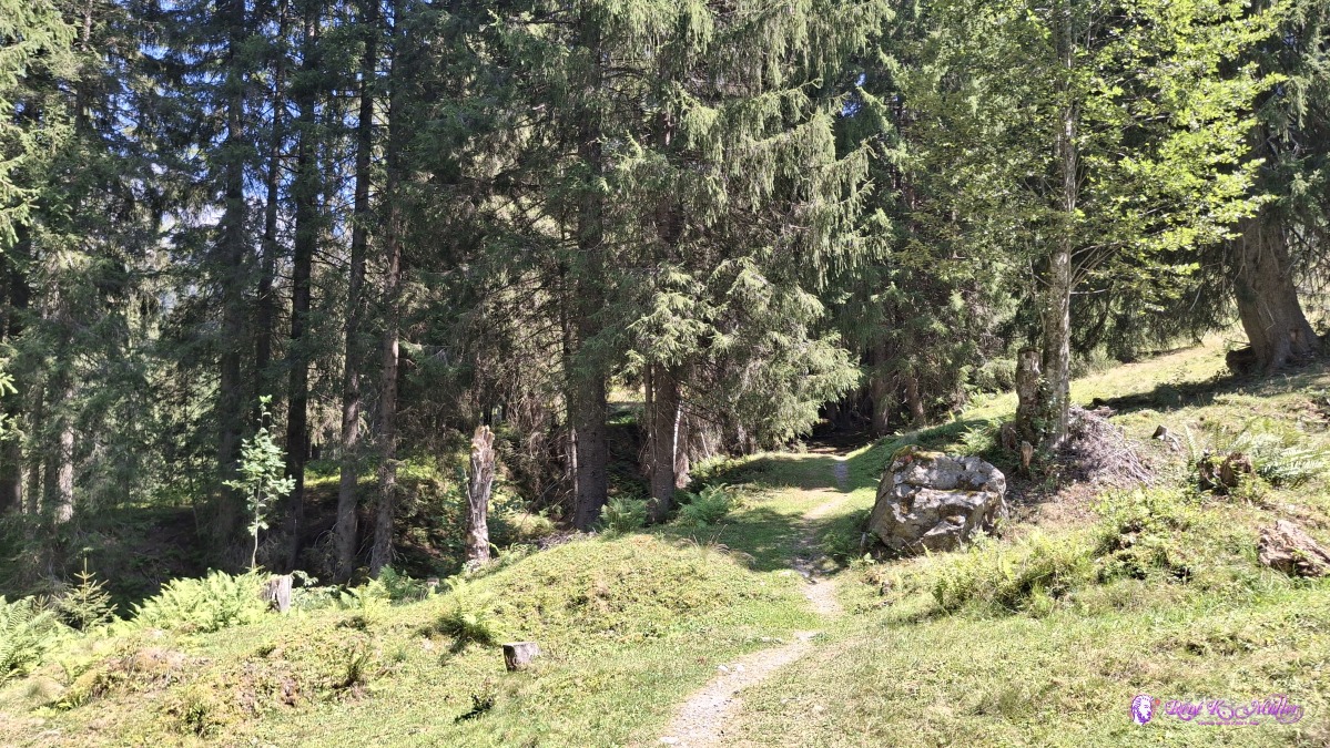 2026/08/13 13:17 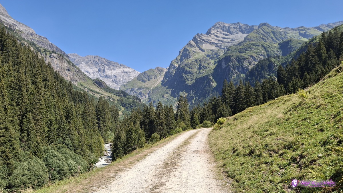 ◈ Silenen (Δ 1310m), 2026/08/13 13:30 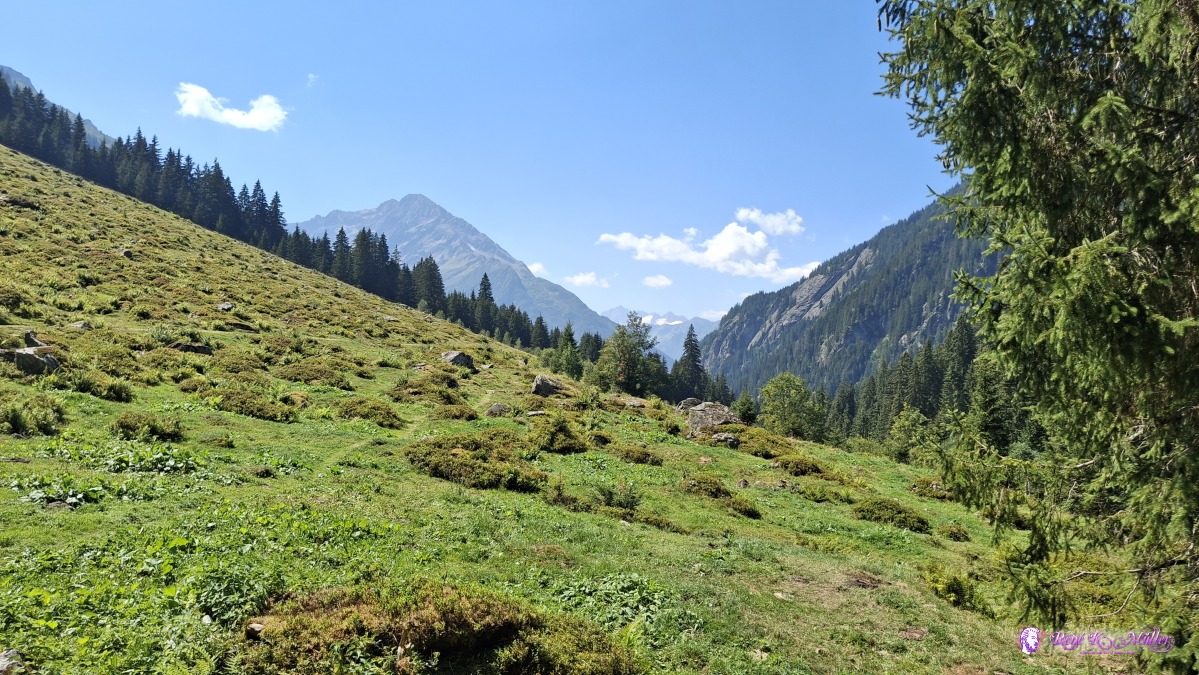 2026/08/13 13:33 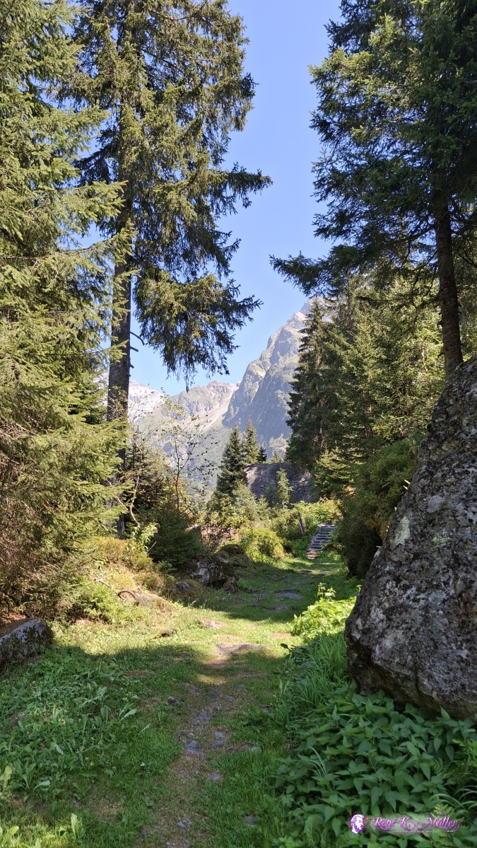 ◈ Silenen (Δ 1311m), 2026/08/13 13:33 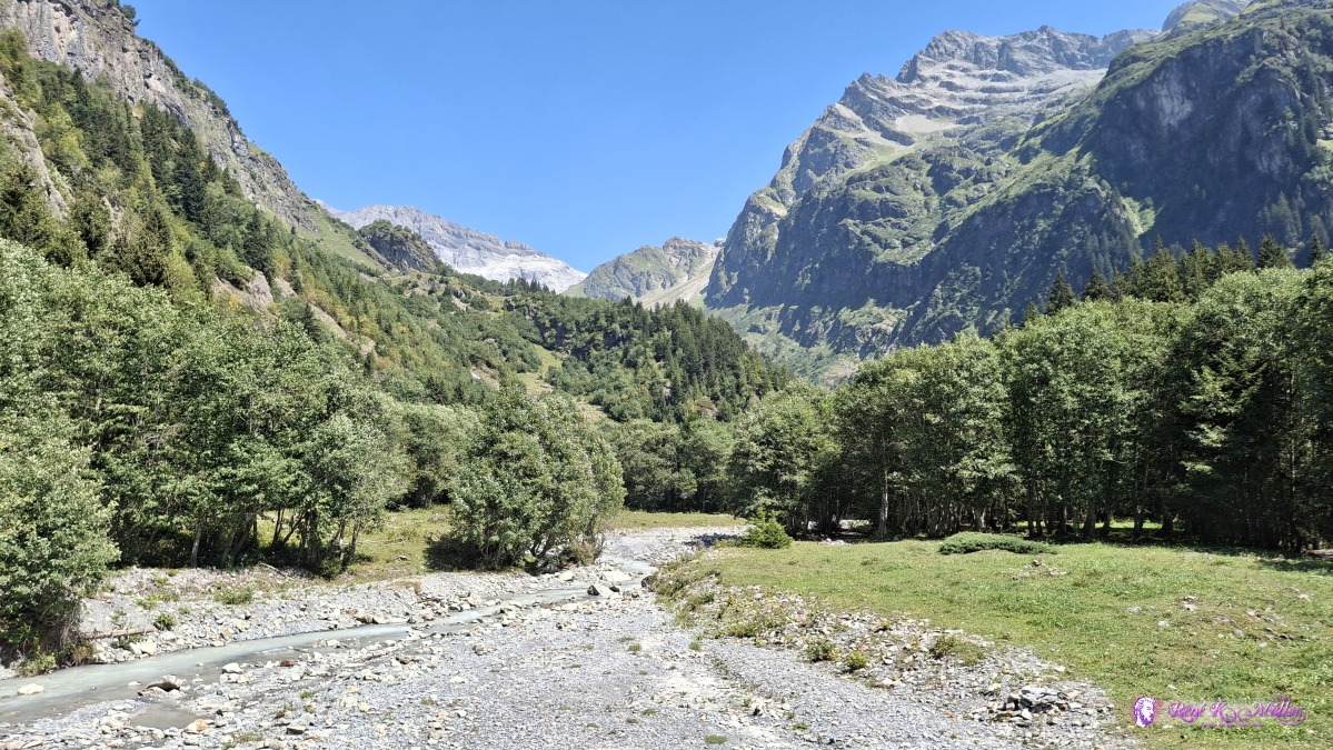 ◈ Silenen (Δ 1335m), 2026/08/13 13:42 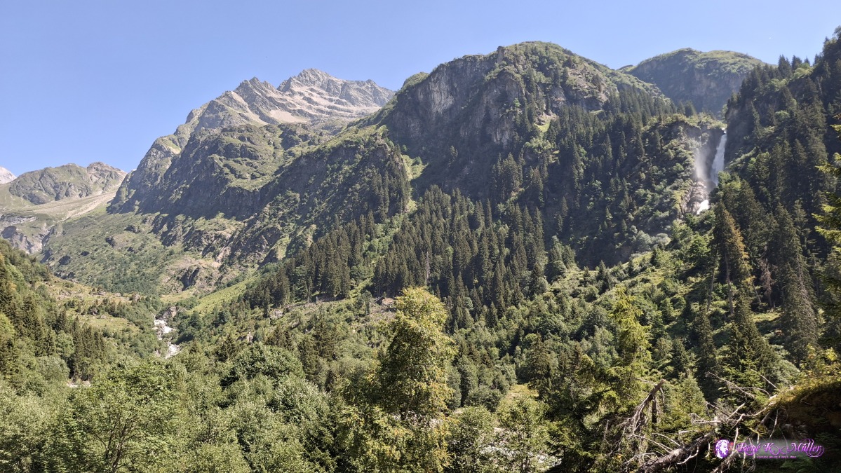 ◈ Silenen (Δ 1359m), 2026/08/13 13:47 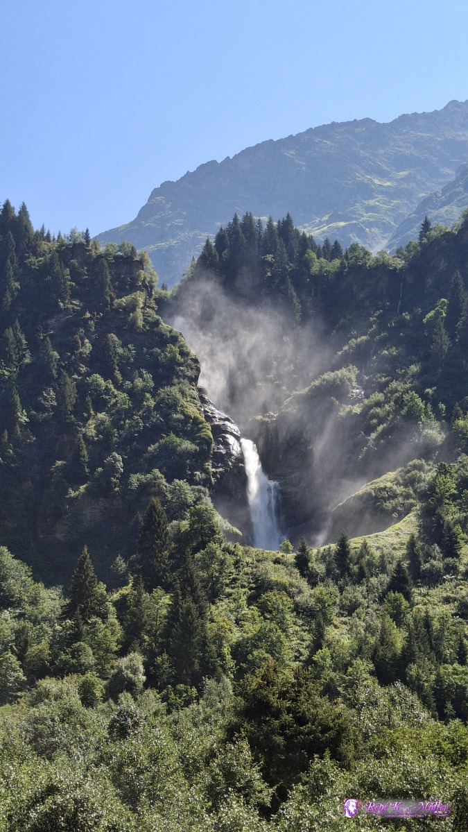 ◈ Silenen (Δ 1378m), 2026/08/13 13:52 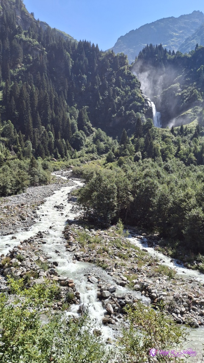 ◈ Silenen (Δ 1378m), 2026/08/13 13:52 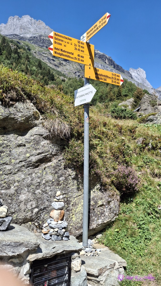 ◈ Silenen (Δ 1433m), 2026/08/13 14:06 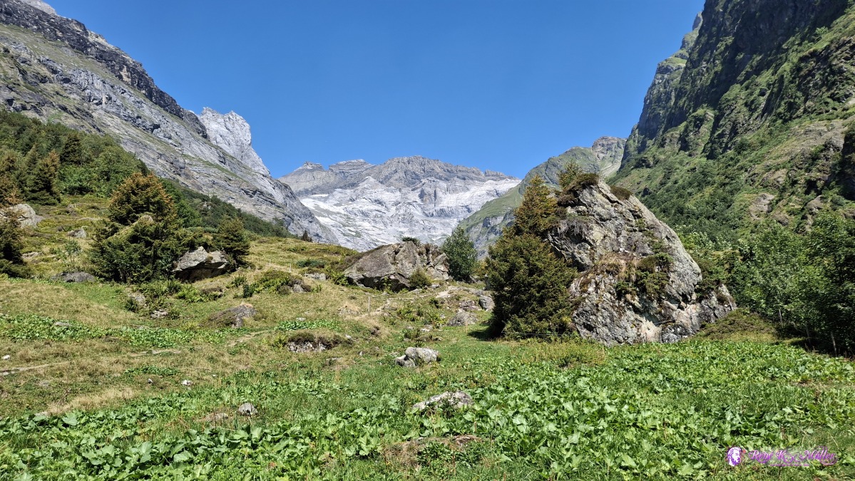 ◈ Silenen (Δ 1433m), 2026/08/13 14:07 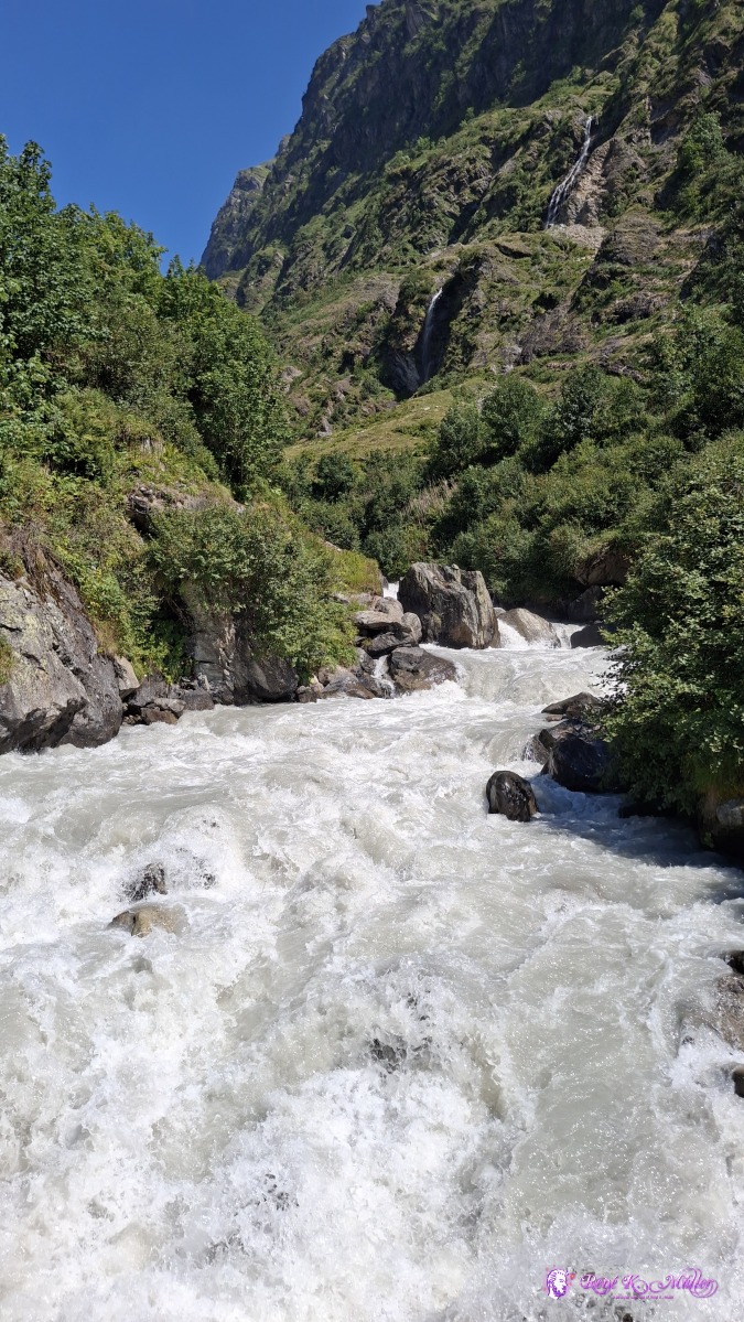 ◈ Silenen (Δ 1431m), 2026/08/13 14:09 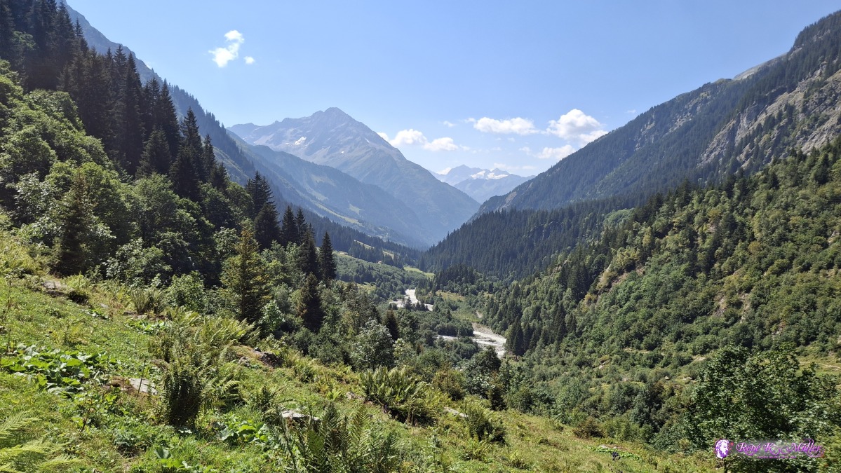 ◈ Silenen (Δ 1454m), 2026/08/13 14:10 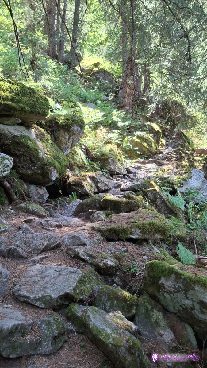 2026/08/13 14:21 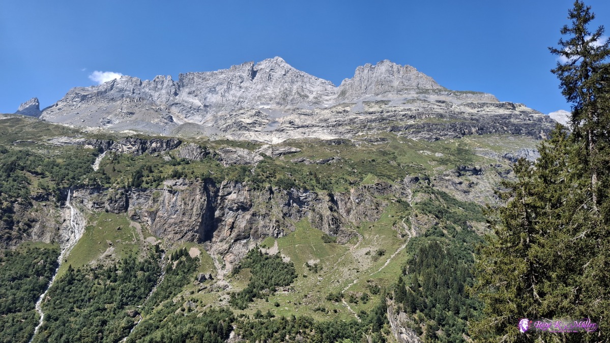 2026/08/13 14:44 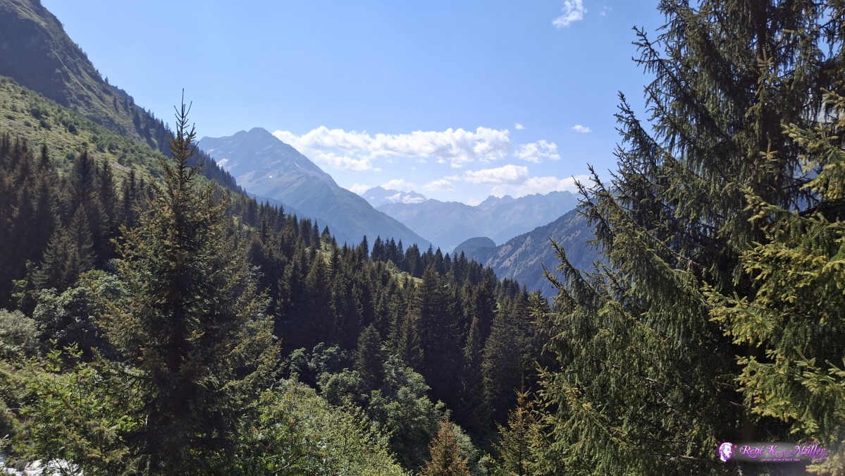 ◈ Silenen (Δ 1617m), 2026/08/13 14:54 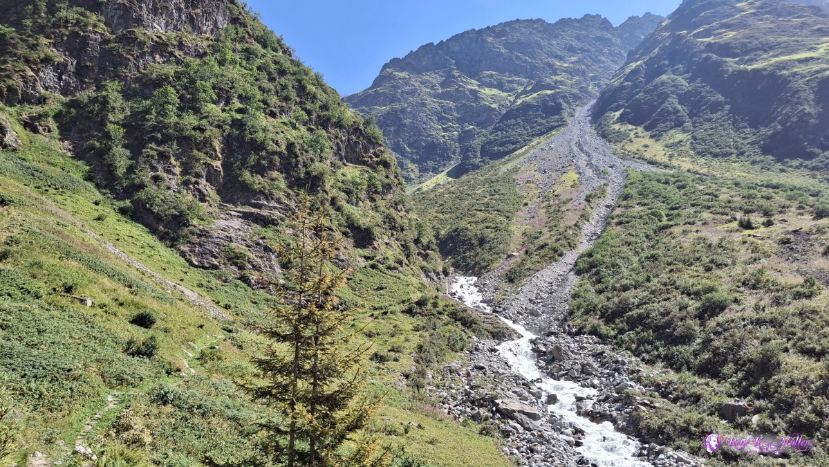 ◈ Silenen (Δ 1638m), 2026/08/13 14:57 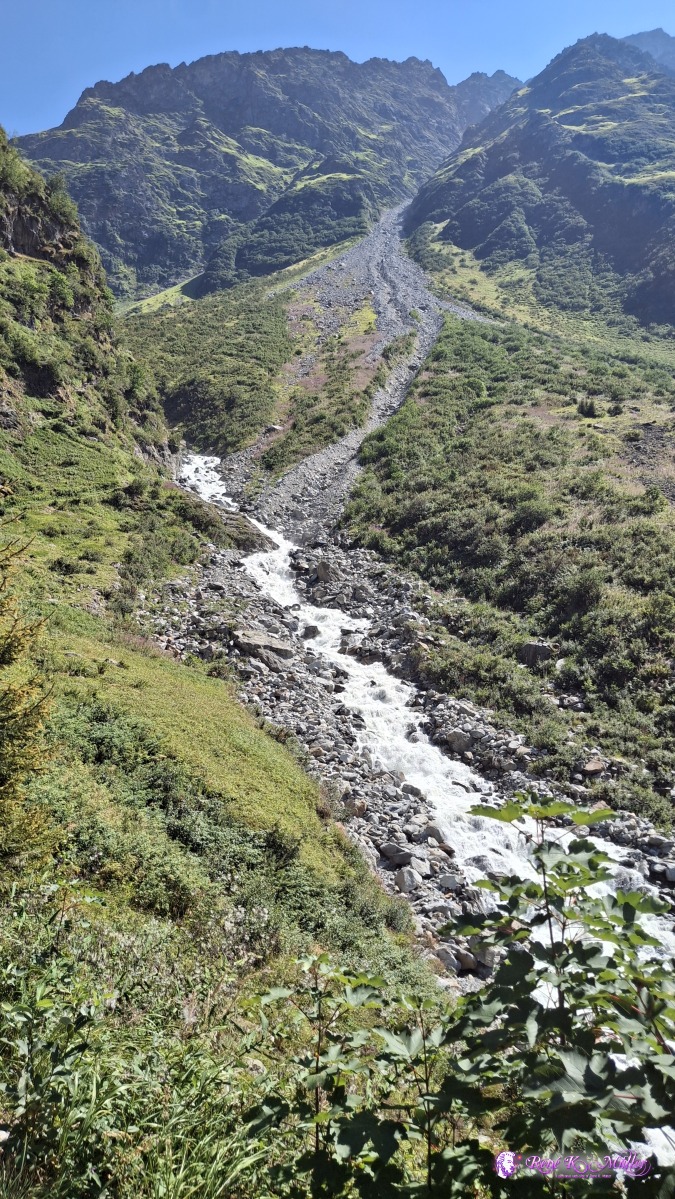 ◈ Silenen (Δ 1638m), 2026/08/13 14:57 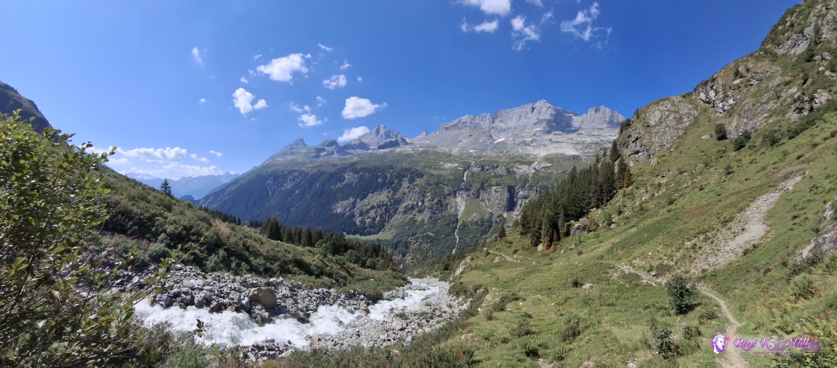 ◈ Silenen (Δ 1657m), 2026/08/13 15:03 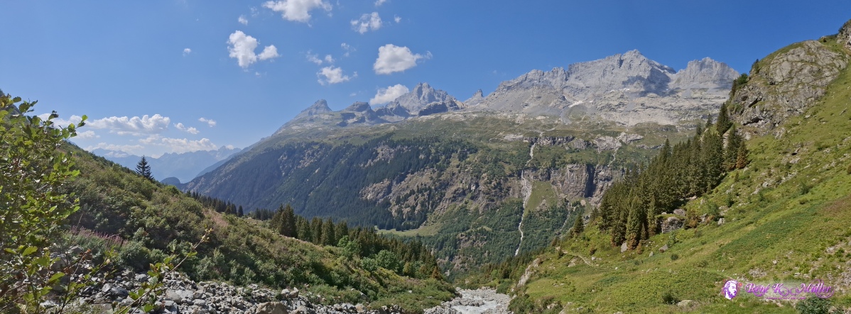 ◈ Silenen (Δ 1657m), 2026/08/13 15:03 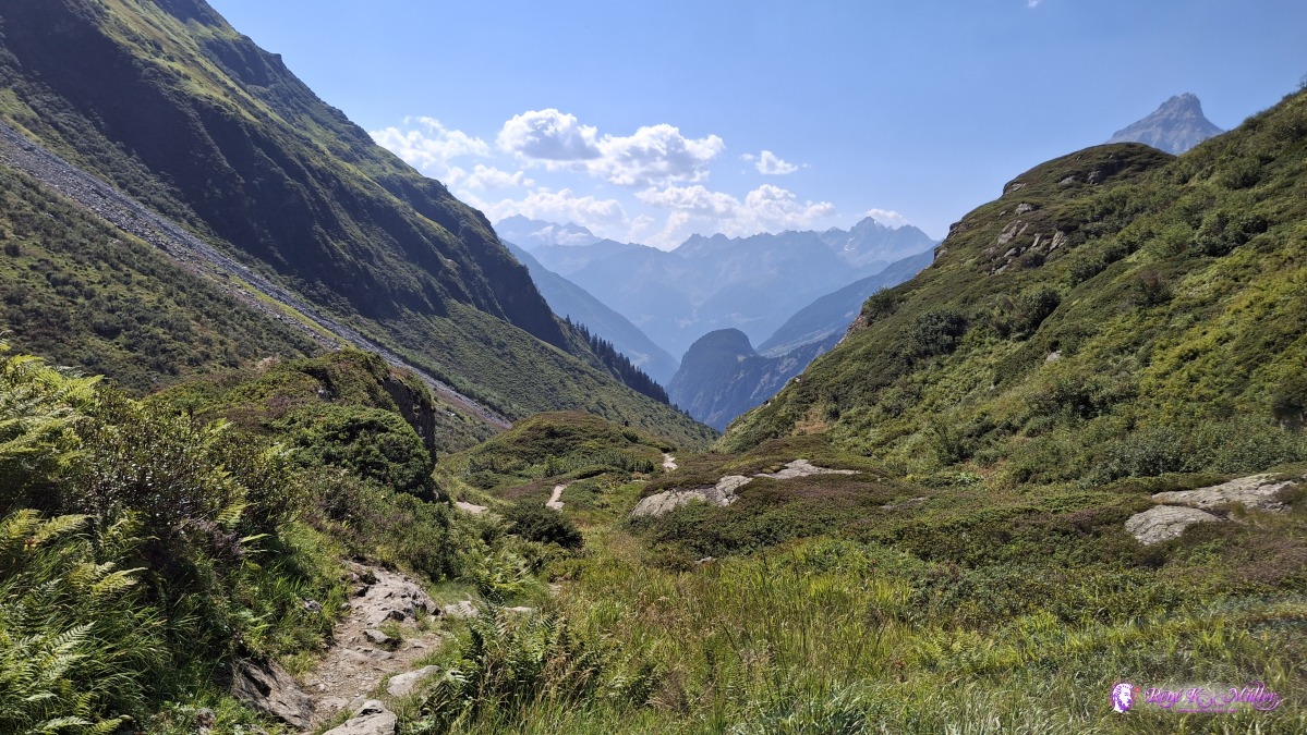 ◈ Silenen (Δ 1849m), 2026/08/13 15:32 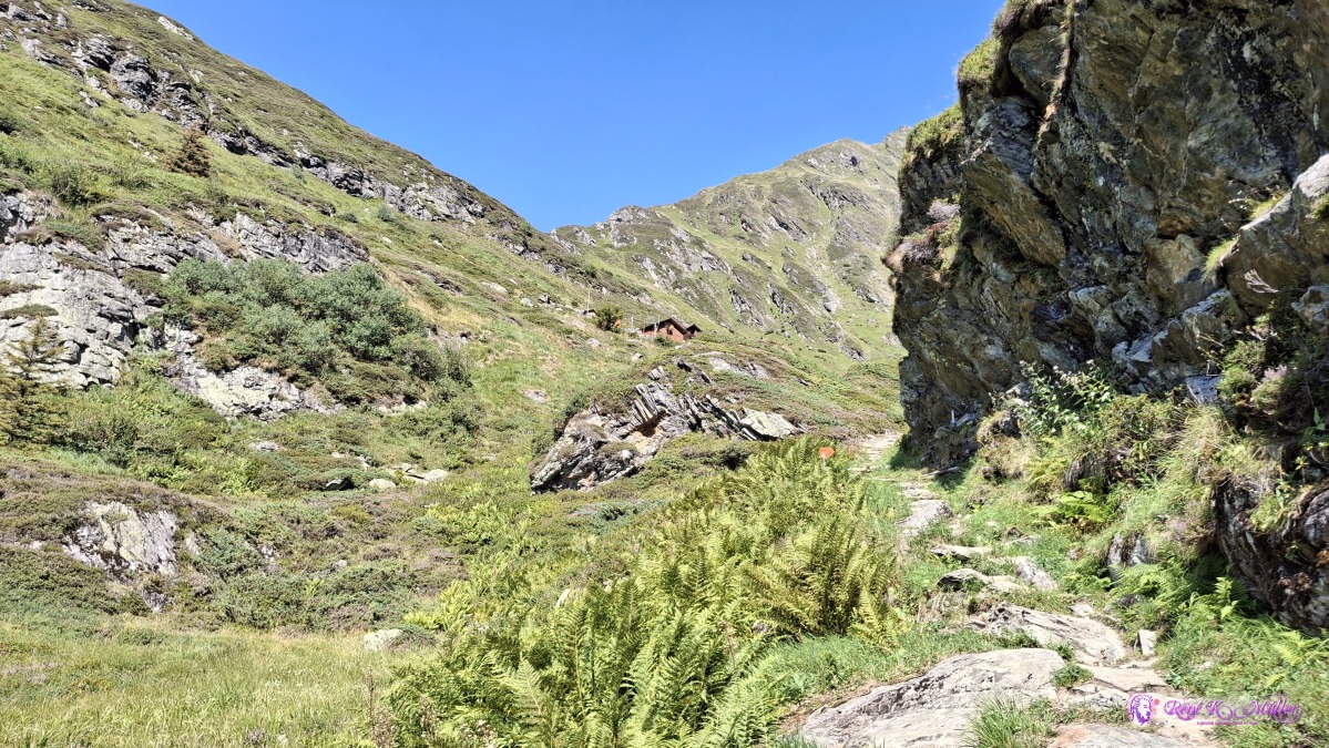 ◈ Silenen (Δ 1836m), 2026/08/13 15:32 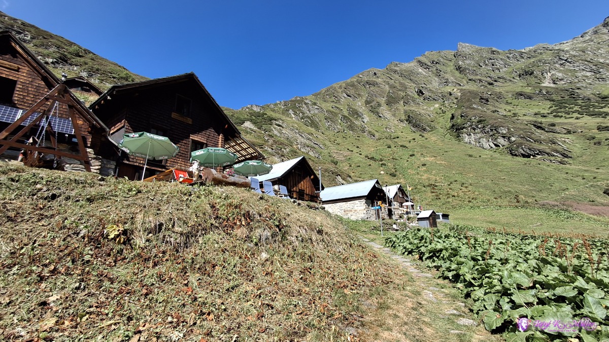 ◈ Silenen (Δ 1862m), 2026/08/13 15:38 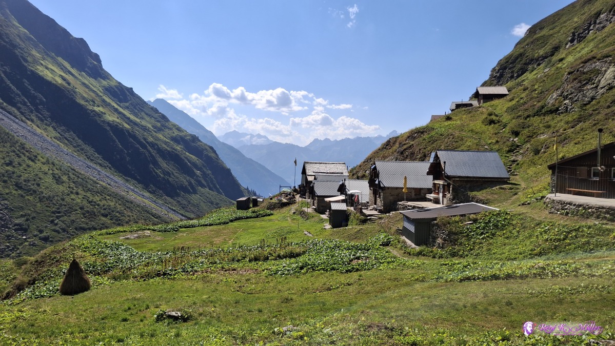 ◈ Silenen (Δ 1882m), 2026/08/13 15:46 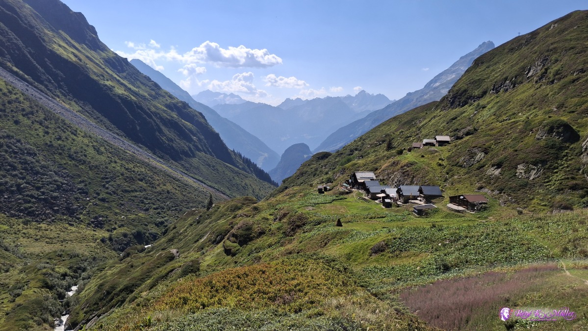 ◈ Silenen (Δ 1916m), 2026/08/13 16:08 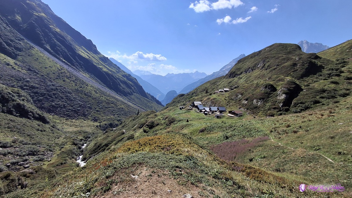 ◈ Silenen (Δ 1908m), 2026/08/13 16:08 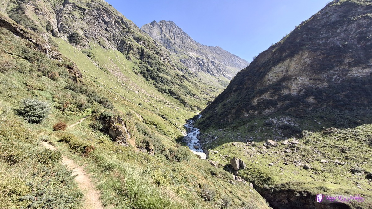 ◈ Silenen (Δ 1884m), 2026/08/13 16:10 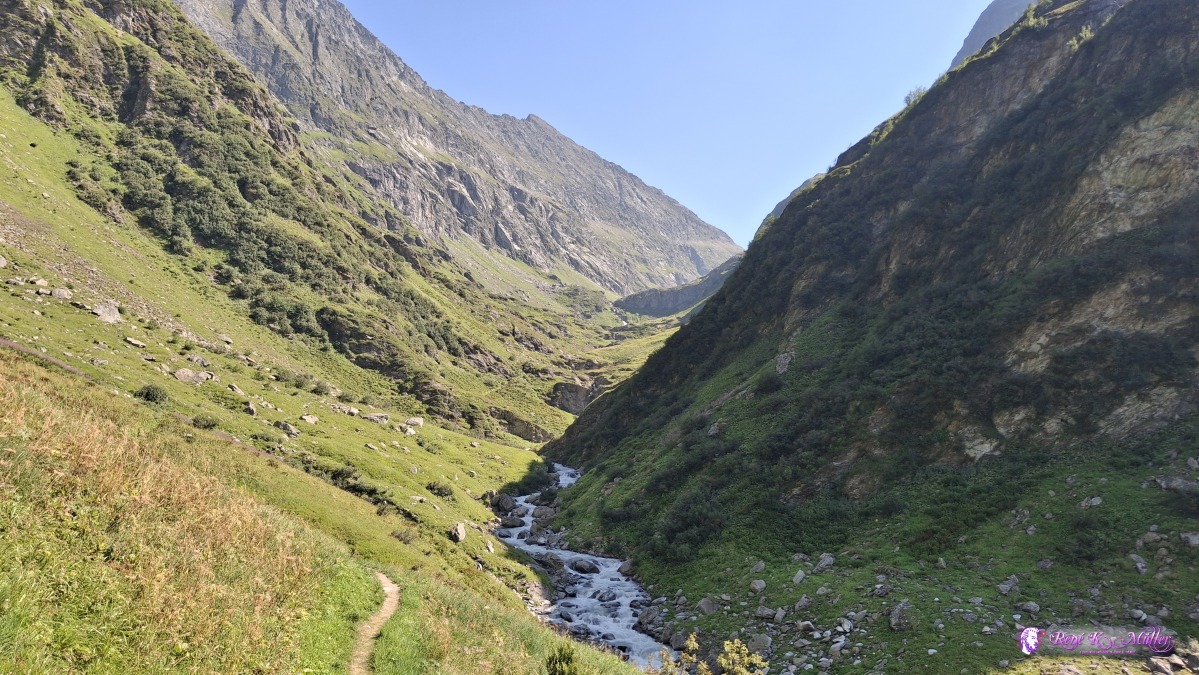 ◈ Silenen (Δ 1882m), 2026/08/13 16:11 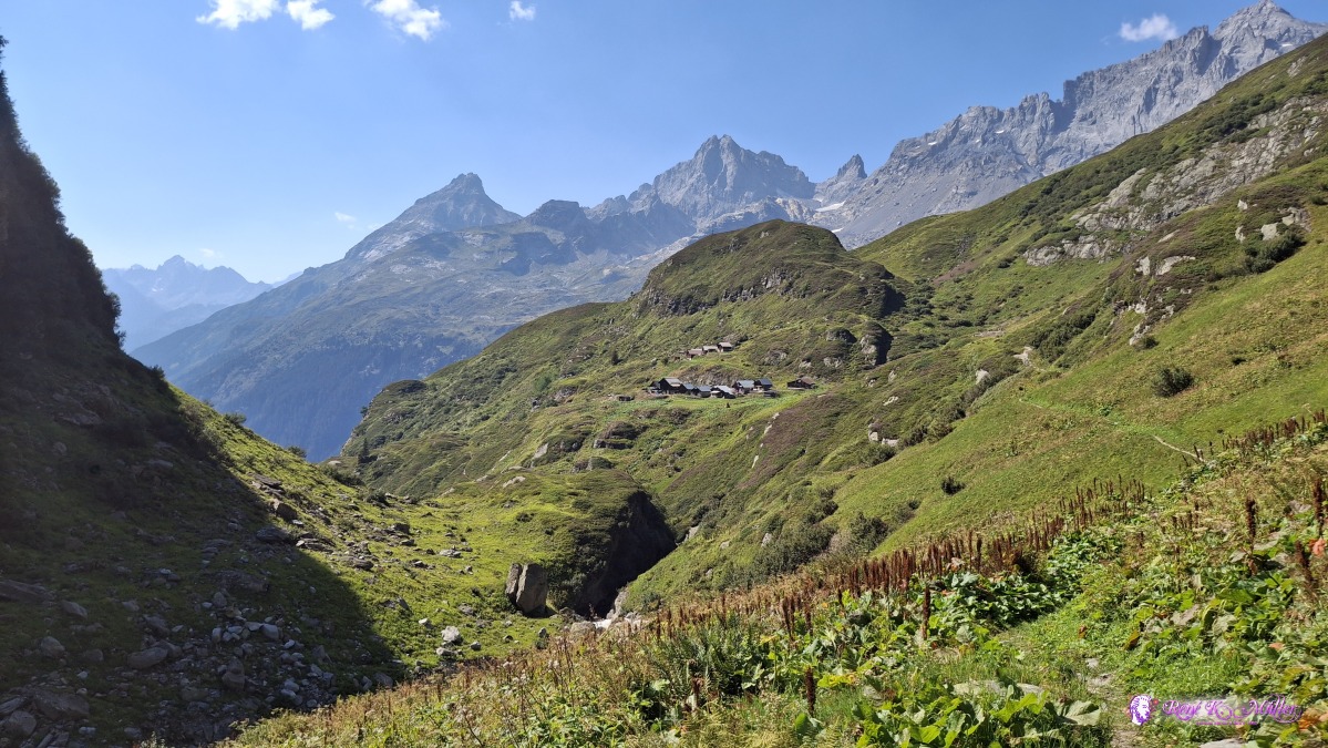 ◈ Silenen (Δ 1890m), 2026/08/13 16:15 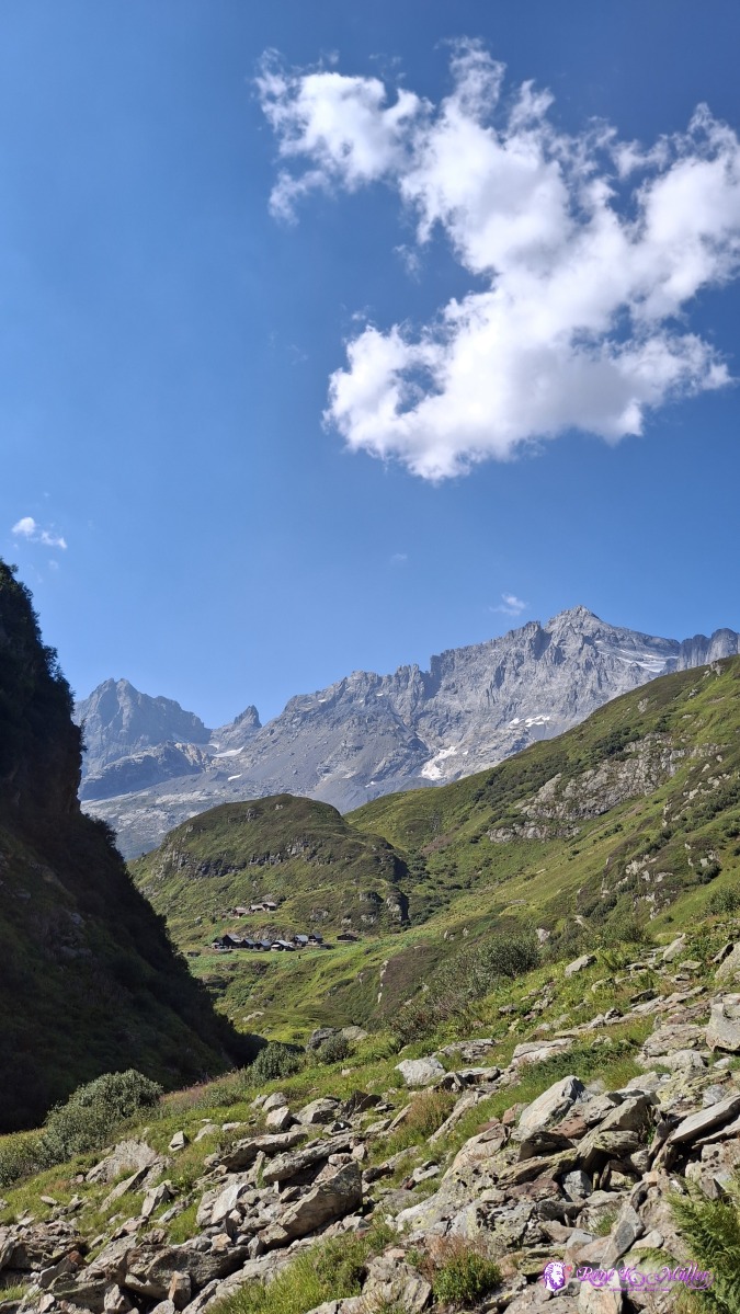 2026/08/13 16:19 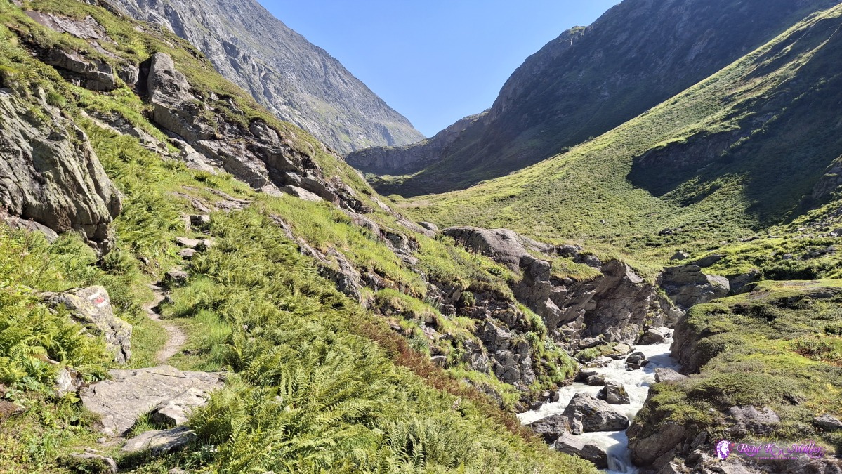 ◈ Silenen (Δ 1970m), 2026/08/13 16:27 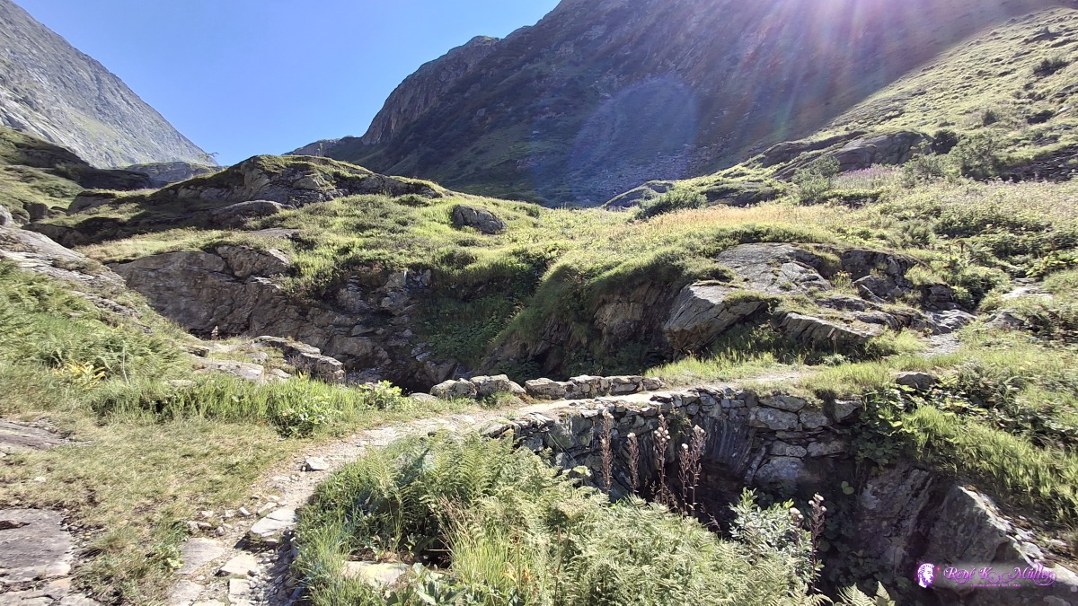 ◈ Silenen (Δ 1935m), 2026/08/13 16:38 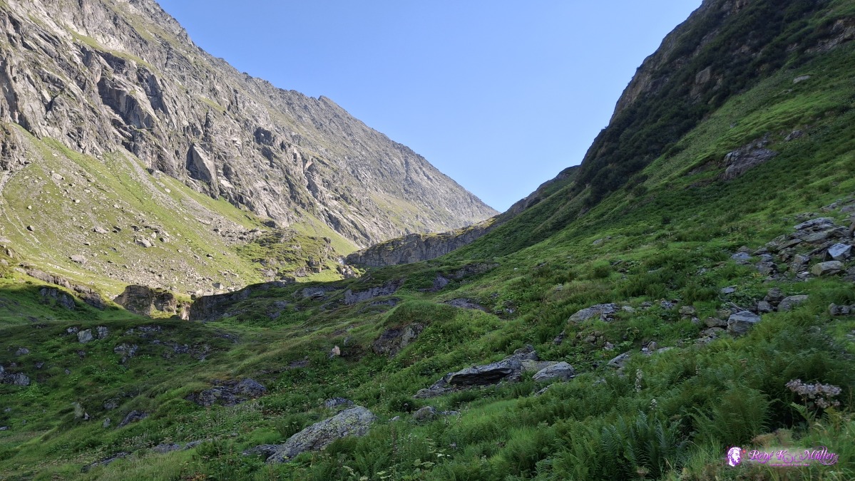 ◈ Silenen (Δ 1986m), 2026/08/13 16:43 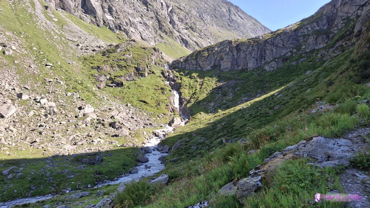 ◈ Silenen (Δ 2018m), 2026/08/13 16:54 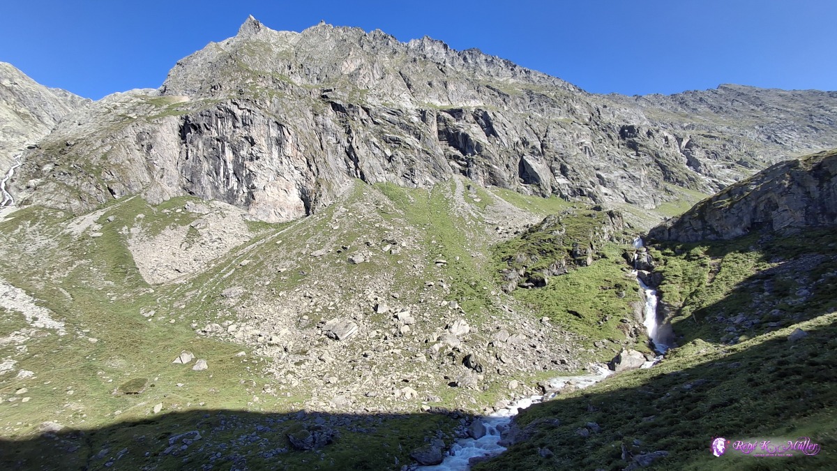 ◈ Silenen (Δ 2034m), 2026/08/13 16:55 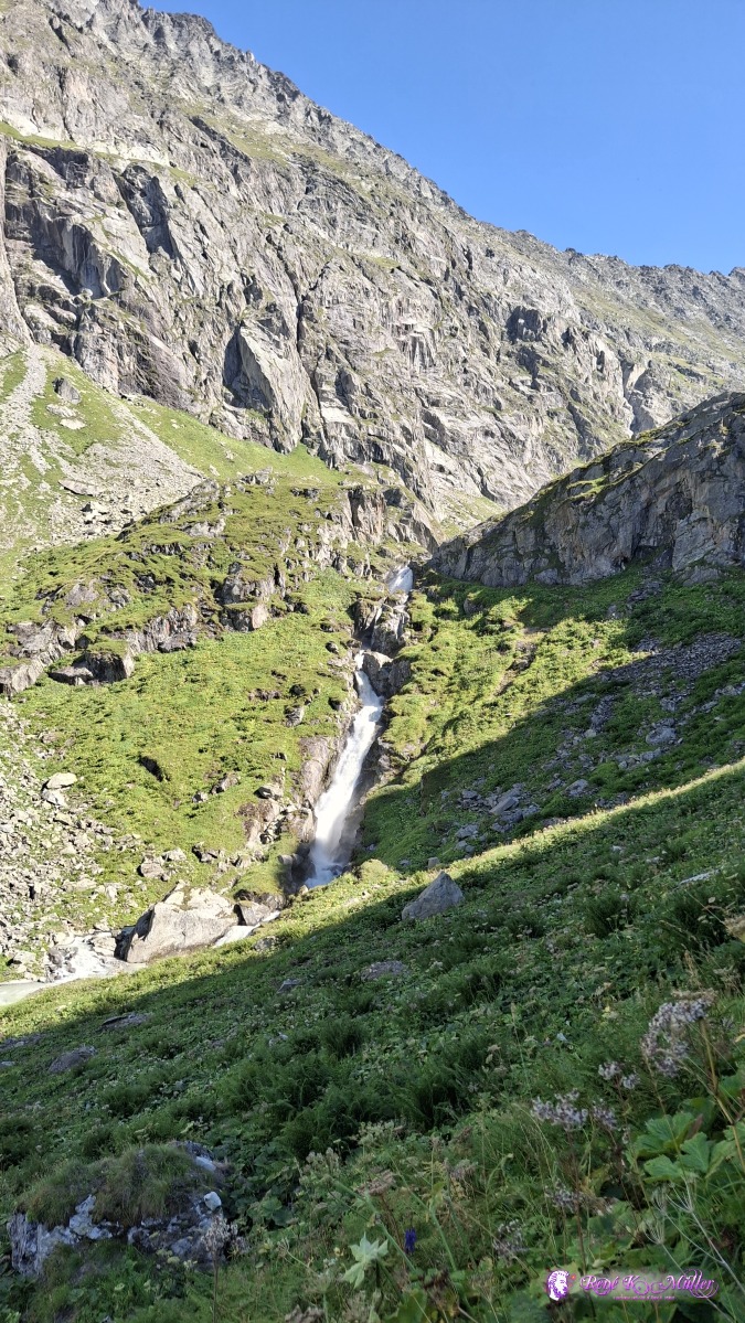 ◈ Silenen (Δ 2009m), 2026/08/13 16:57 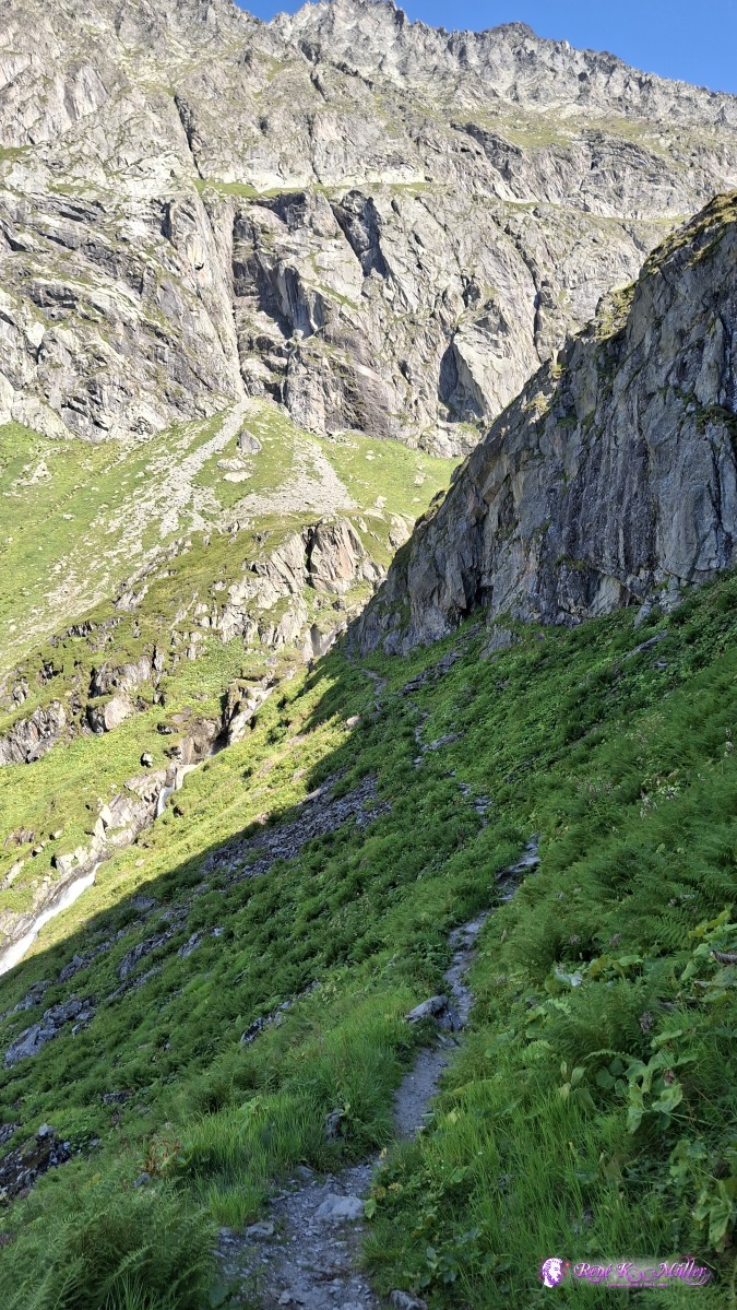 2026/08/13 17:02 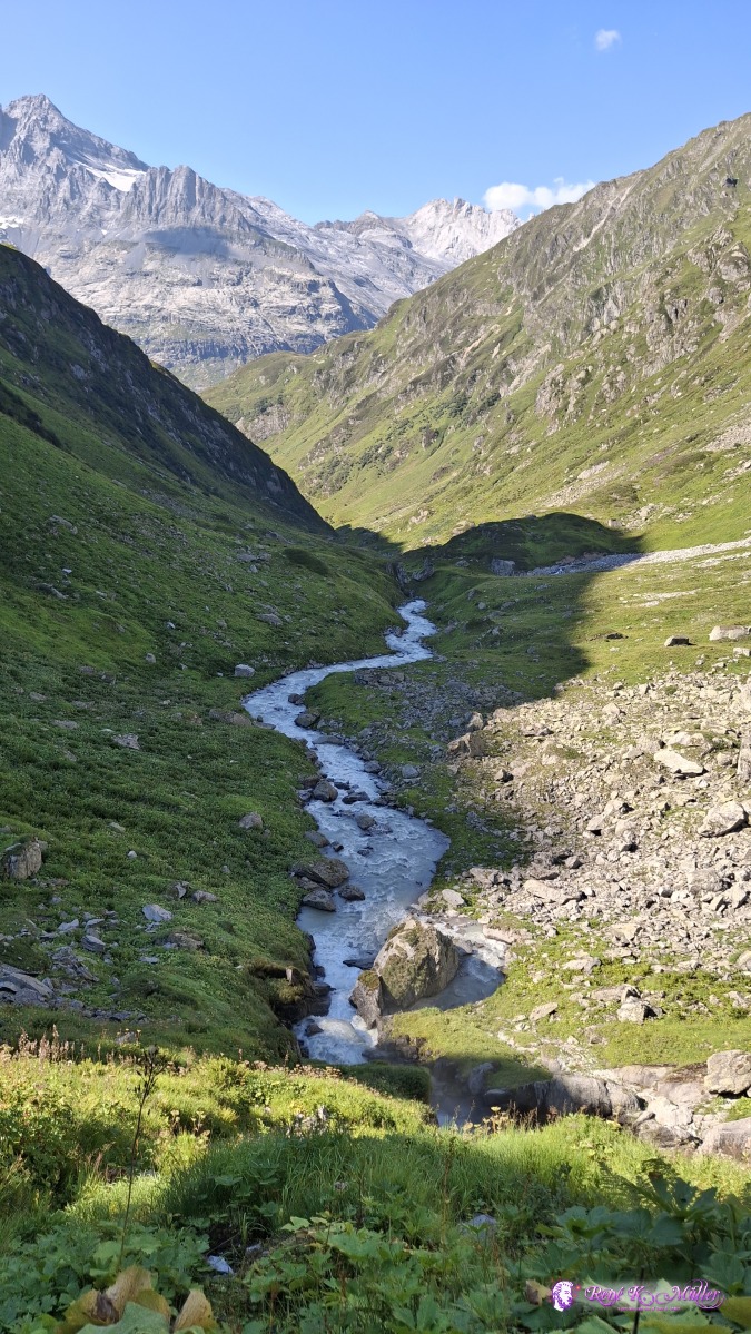 2026/08/13 17:05 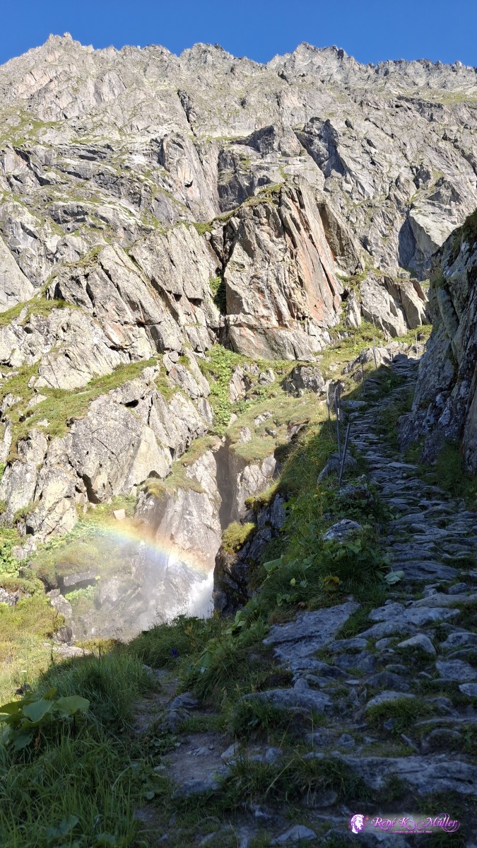 ◈ Silenen (Δ 2057m), 2026/08/13 17:07 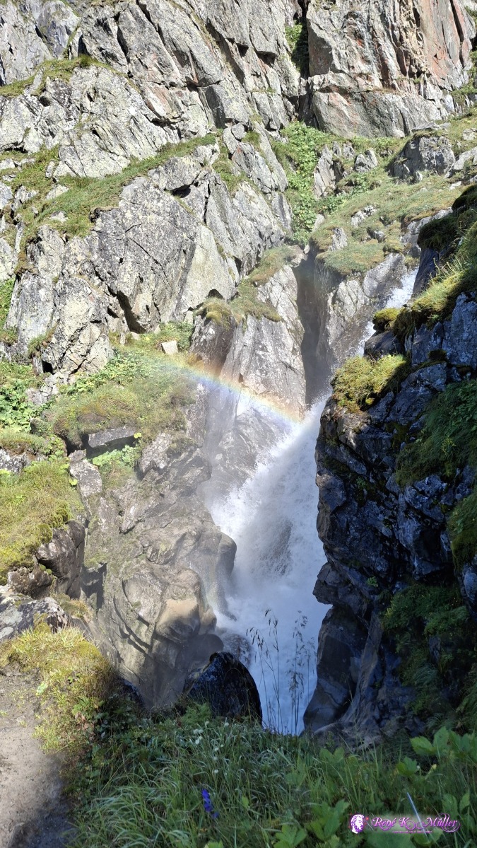 ◈ Silenen (Δ 2082m), 2026/08/13 17:07 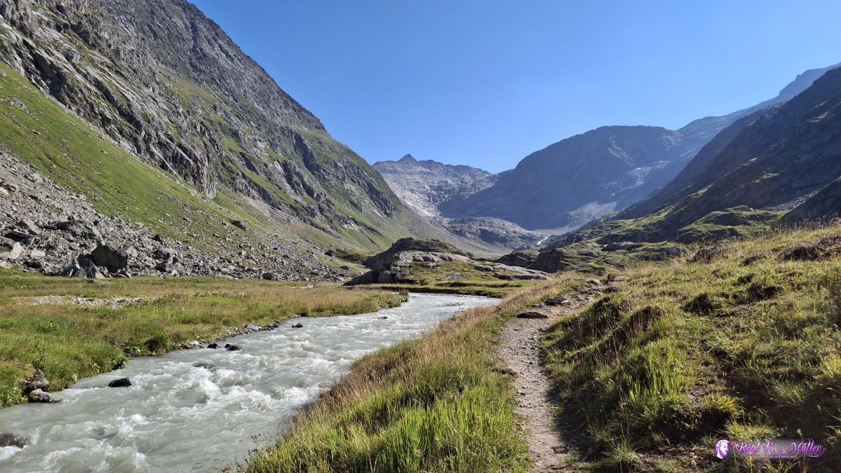 ◈ Silenen (Δ 2089m), 2026/08/13 17:09 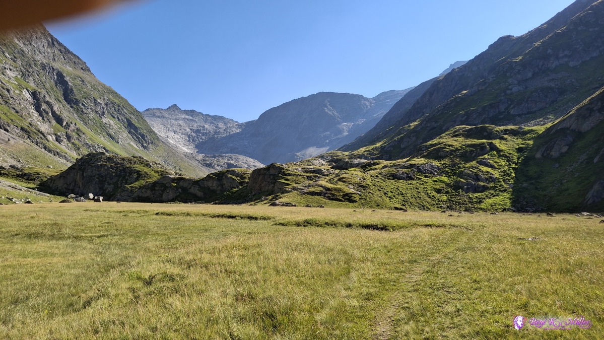 ◈ Silenen (Δ 2123m), 2026/08/13 17:14 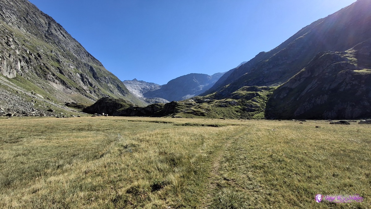 ◈ Silenen (Δ 2123m), 2026/08/13 17:14 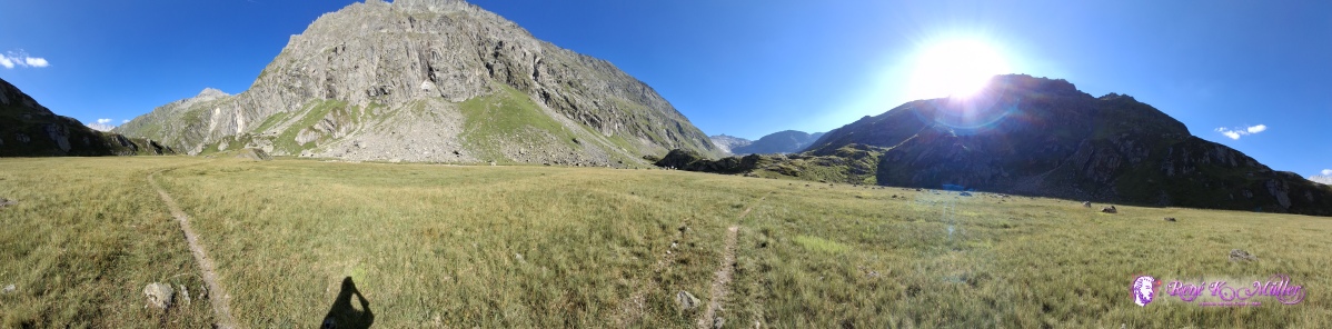 ◈ Silenen (Δ 2094m), 2026/08/13 17:16 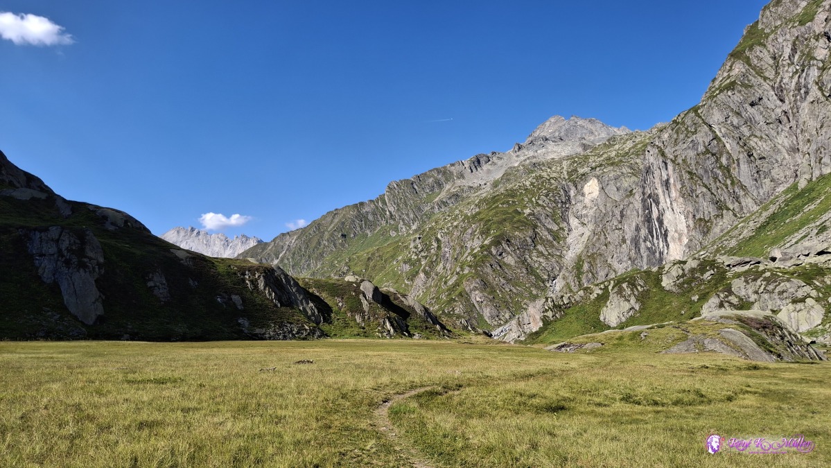 ◈ Silenen (Δ 2090m), 2026/08/13 17:16 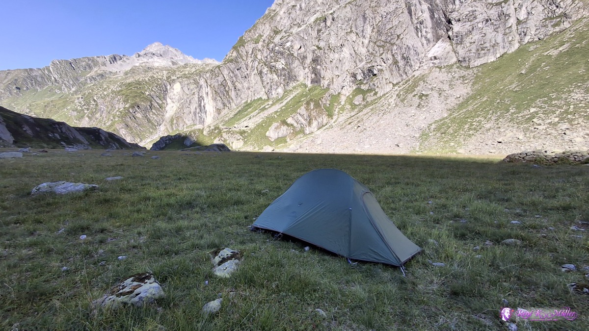 ◈ Silenen (Δ 2115m), 2026/08/13 17:33 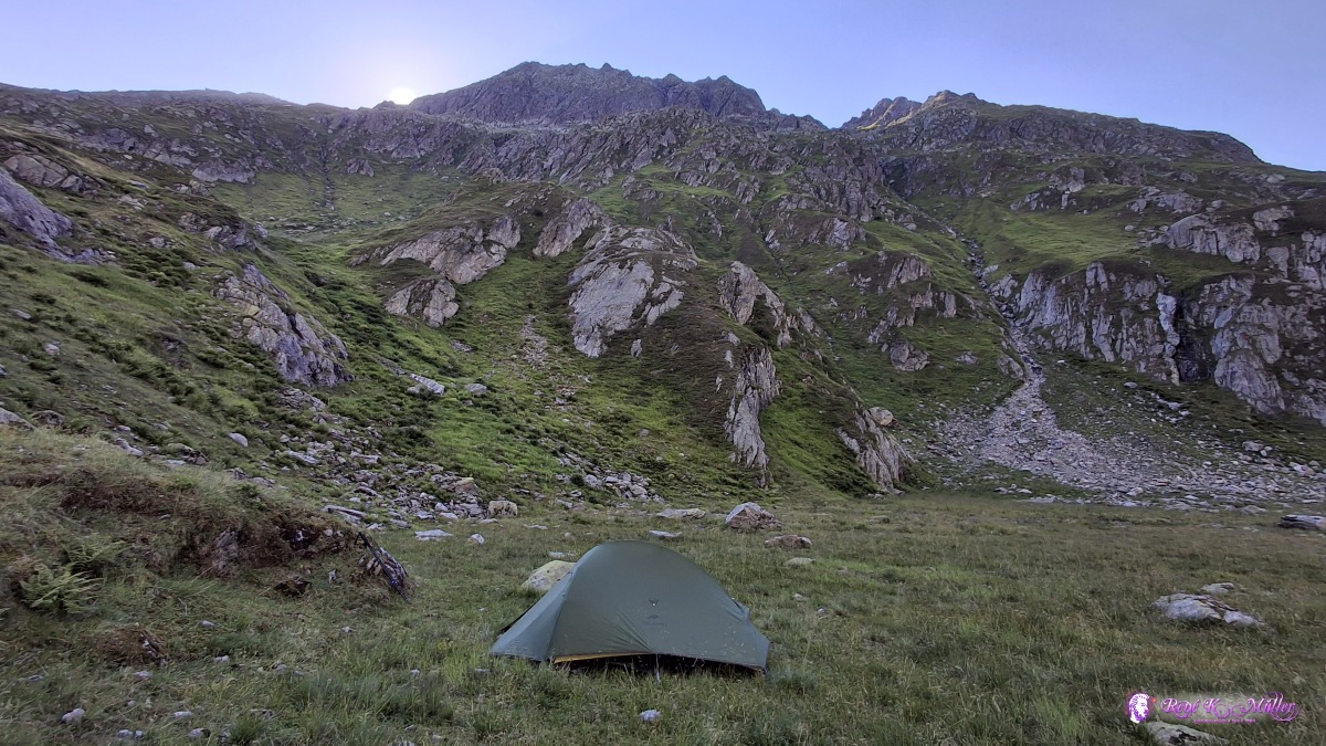 ◈ Silenen (Δ 2115m), 2026/08/13 17:34 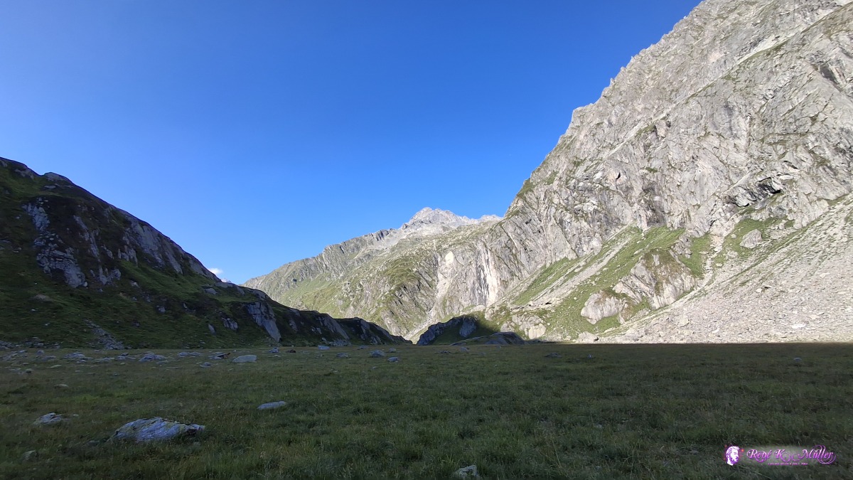 ◈ Silenen (Δ 2095m), 2026/08/13 17:35 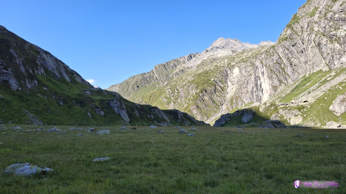 ◈ Silenen (Δ 2095m), 2026/08/13 17:35 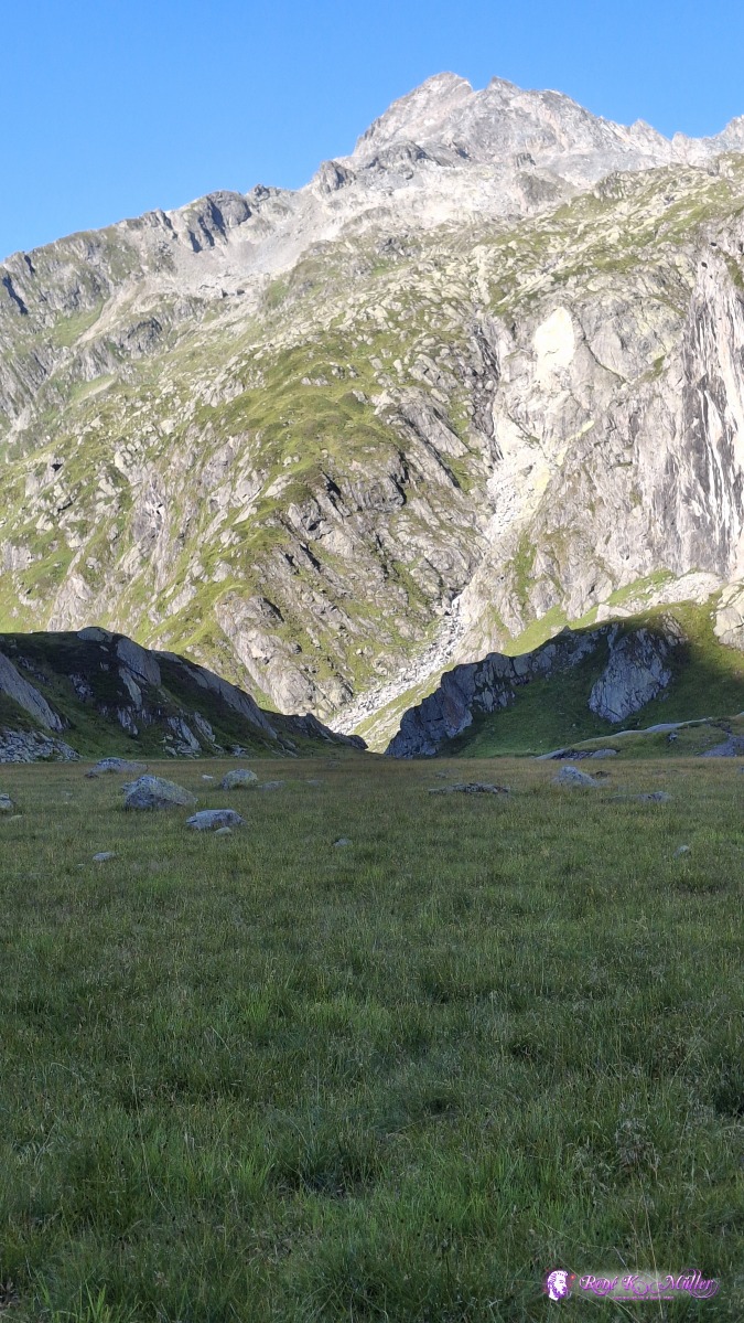 ◈ Silenen (Δ 2095m), 2026/08/13 17:35 Friday 2026/08/14: Brunniboden - Fuorcla da Cavardiras - Alp CavreinEarly start, very good sleep, leaving before 7:00, still hike in the shadow of the early morning, mild ascend first up to 2200m, then the path / trail gets steeper, some passages have a chain to help, reaching 2500m elevation, but I'm not yet at the pass. A mighty glacier comes into sight, and the hiking trail goes around the "corner", again chains to help to hike - and I reach top of the pass of Fuorcla da Cavardiras, and ~200m further the Camona da Cavardiras SAC/CAS house, so instead of 2hr it took me 2h 45min to ascend - I take a brief rest to eat and enjoy the sight back to the glacier and also to the next valley Val Cavardiras.
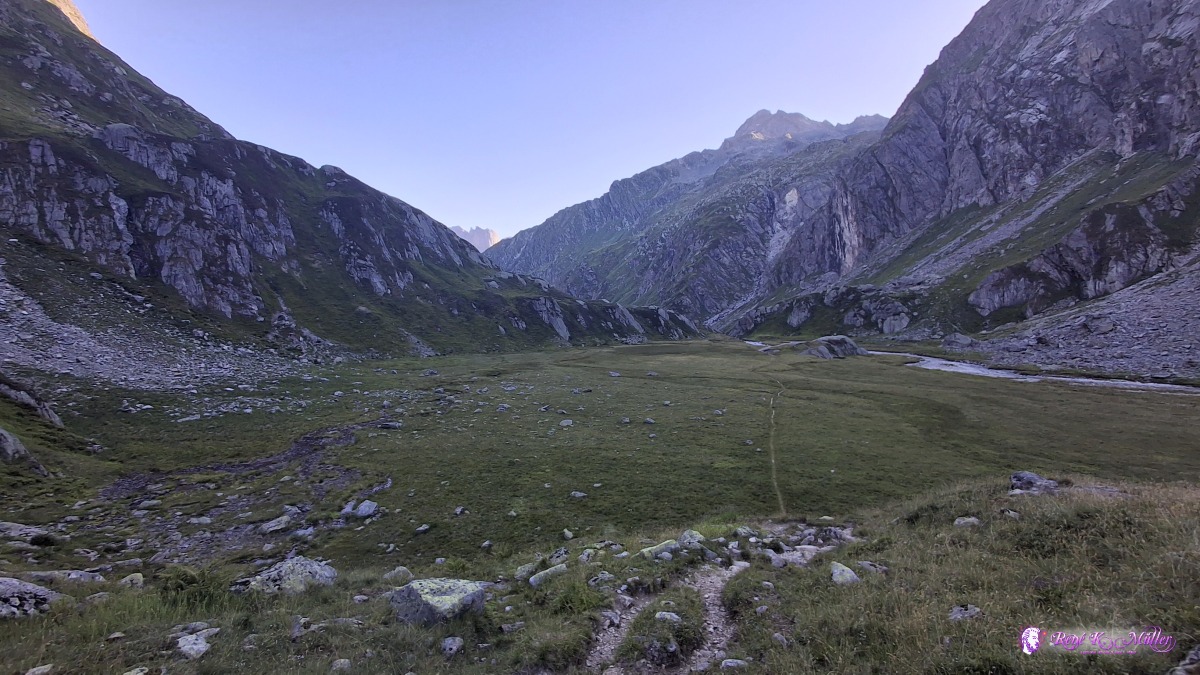 2026/08/14 07:58 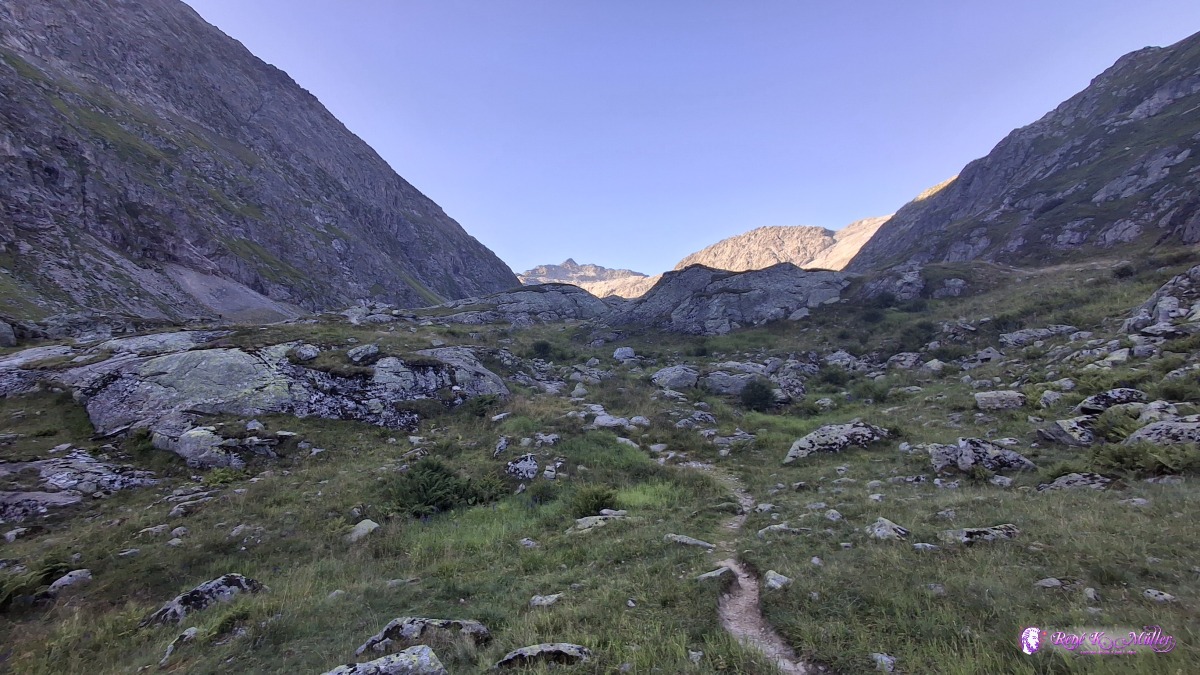 2026/08/14 07:58 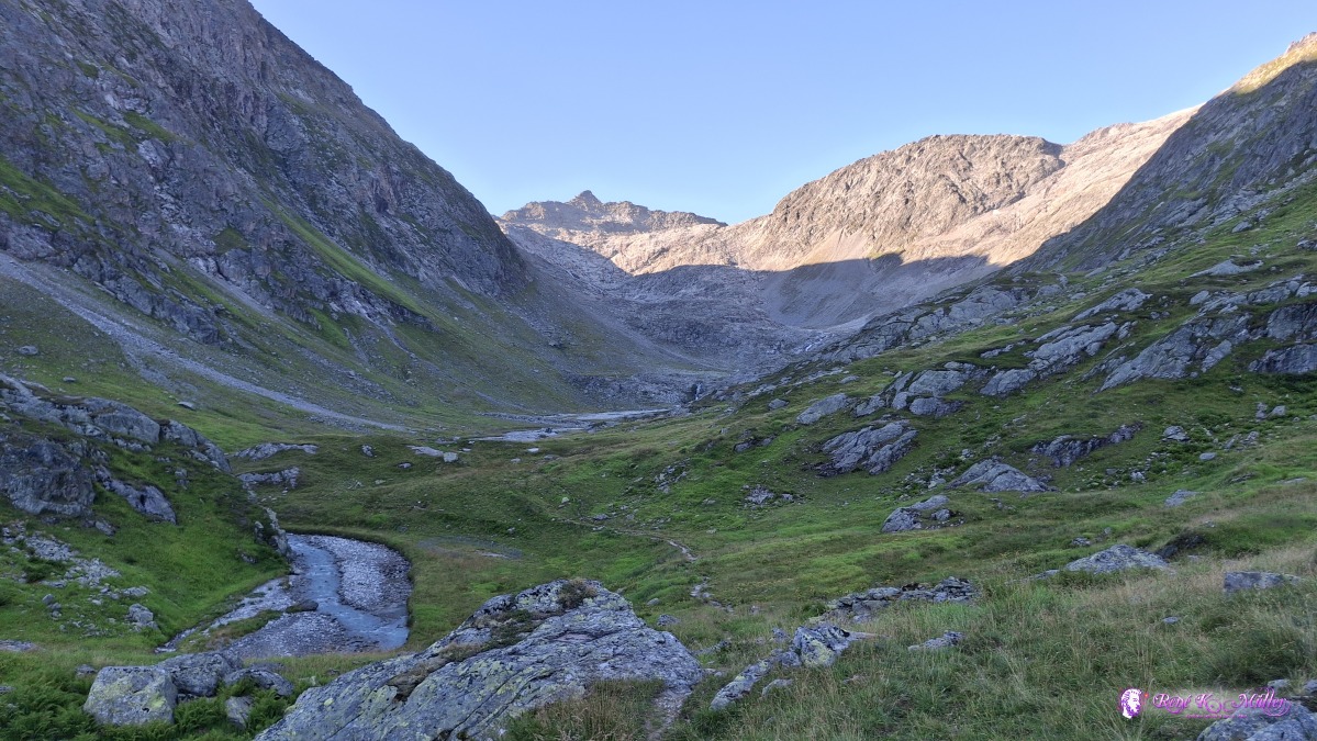 2026/08/14 08:00 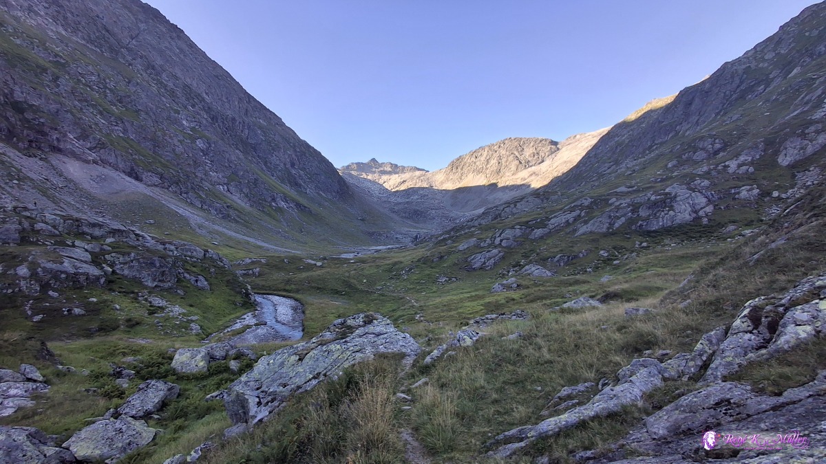 2026/08/14 08:00 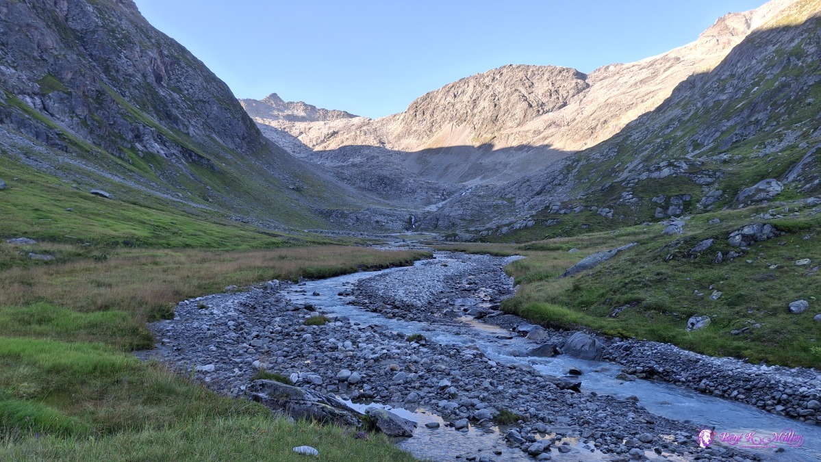 ◈ Silenen (Δ 2125m), 2026/08/14 08:05 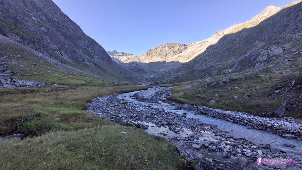 ◈ Silenen (Δ 2128m), 2026/08/14 08:05 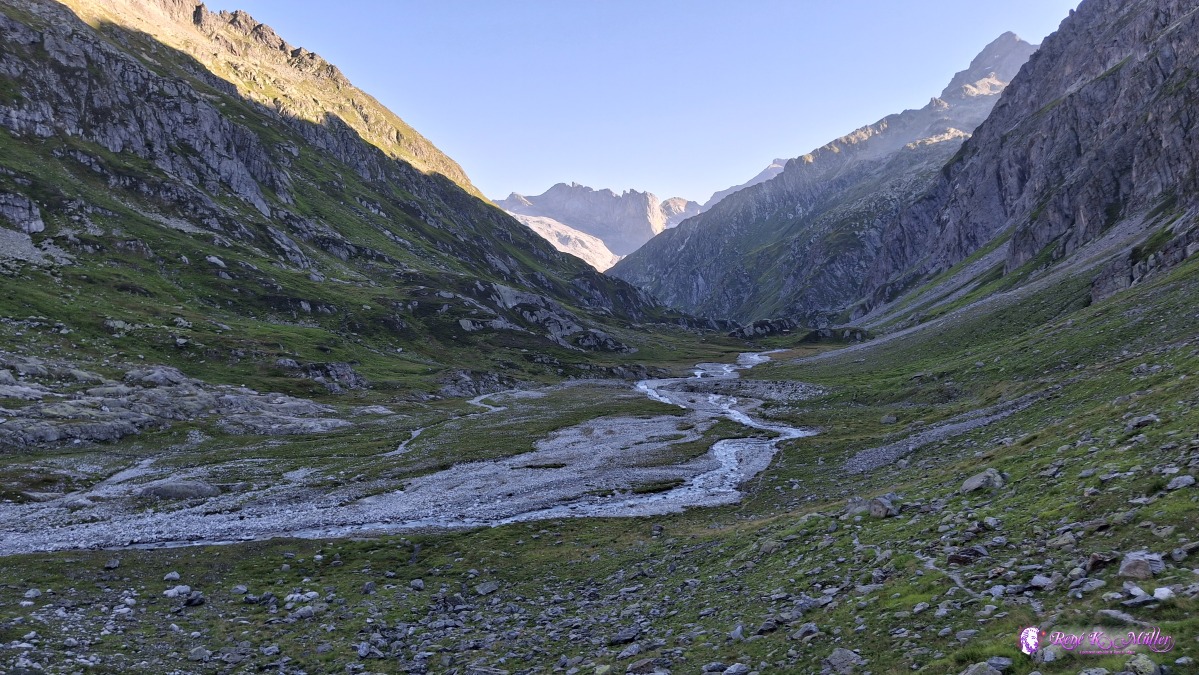 ◈ Silenen (Δ 2186m), 2026/08/14 08:24 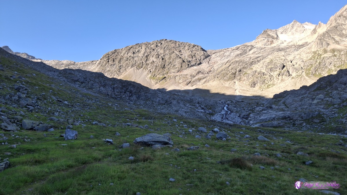 ◈ Silenen (Δ 2188m), 2026/08/14 08:24 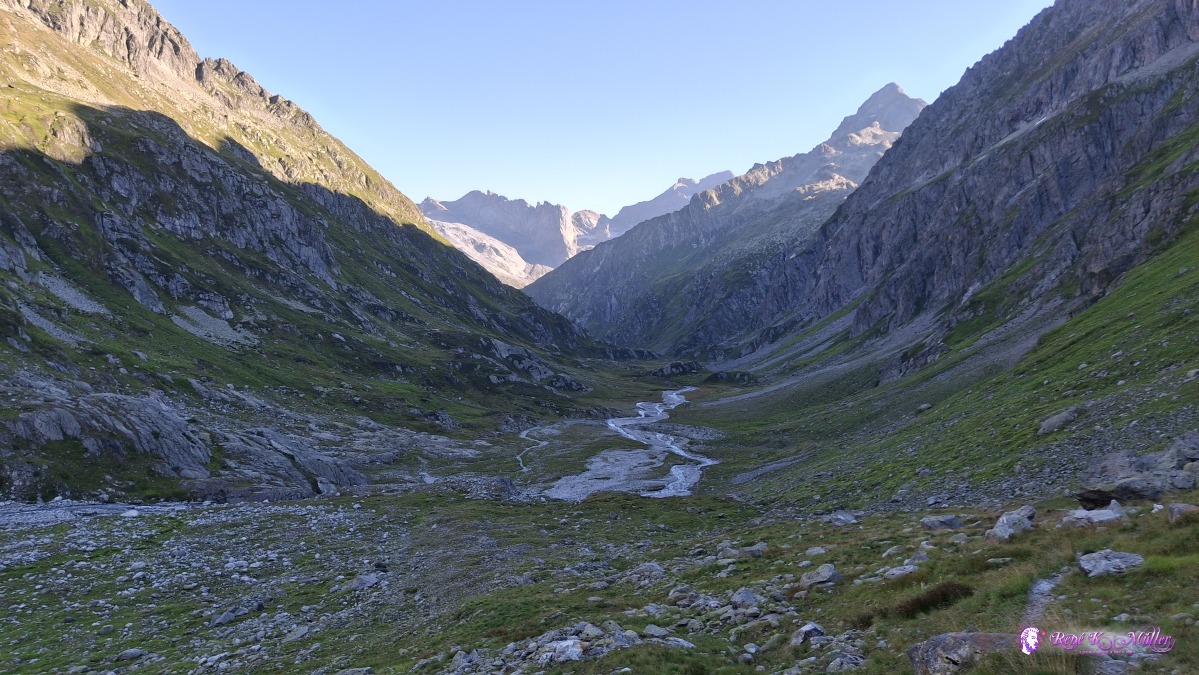 ◈ Silenen (Δ 2210m), 2026/08/14 08:33 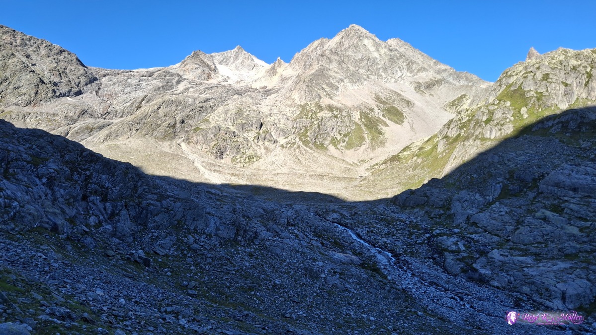 ◈ Silenen (Δ 2231m), 2026/08/14 08:33 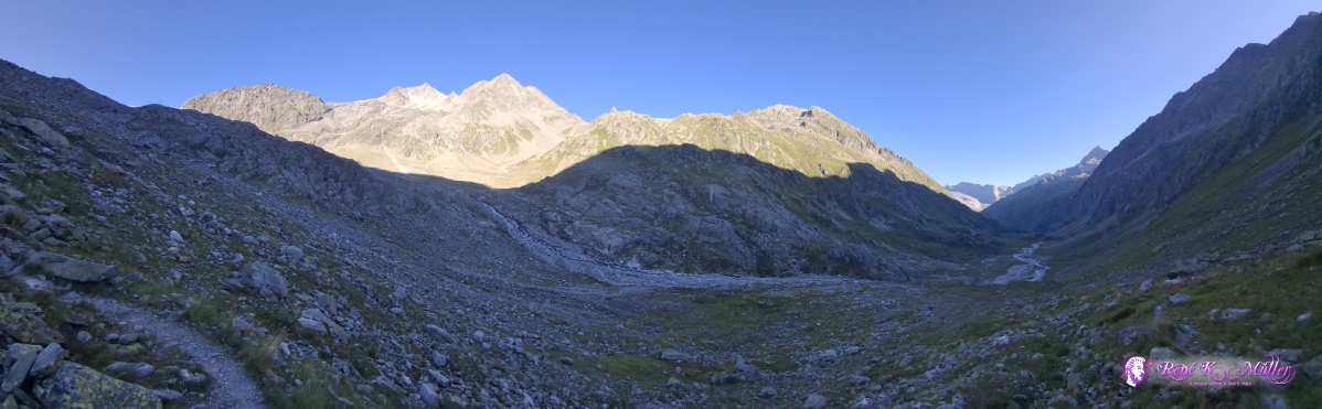 ◈ Silenen (Δ 2231m), 2026/08/14 08:33 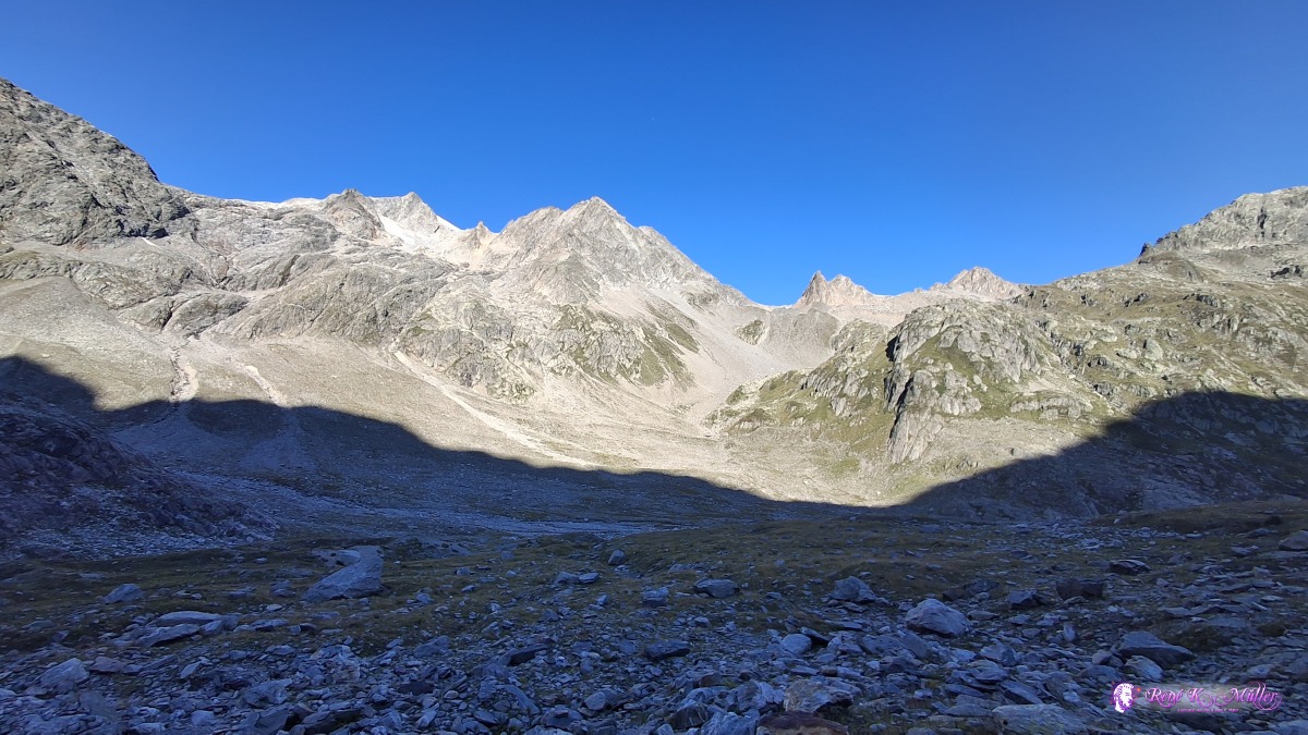 ◈ Silenen (Δ 2275m), 2026/08/14 08:44 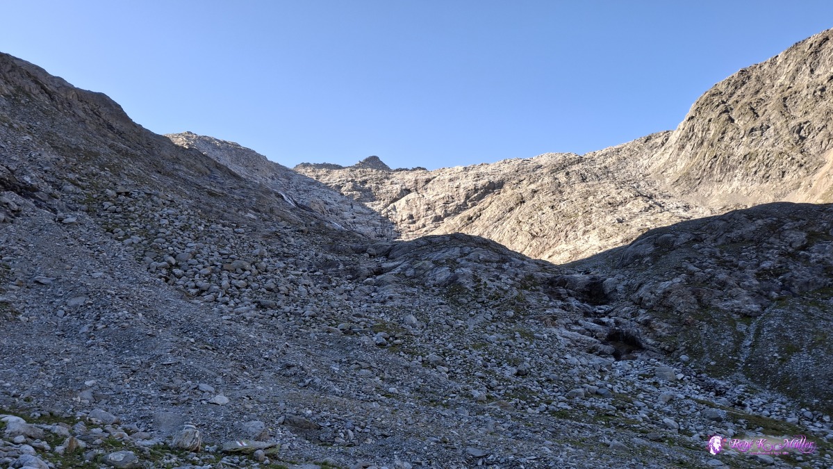 ◈ Silenen (Δ 2341m), 2026/08/14 08:56 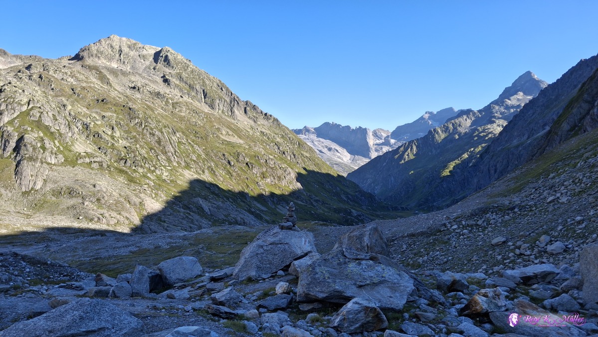 ◈ Silenen (Δ 2357m), 2026/08/14 09:03 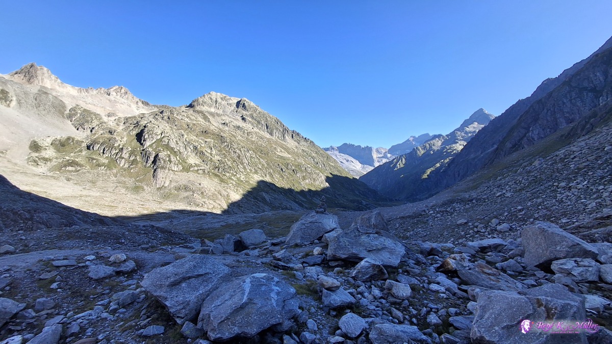 ◈ Silenen (Δ 2356m), 2026/08/14 09:03 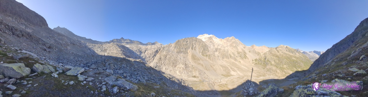 ◈ Disentis/Mustér (Δ 2543m), 2026/08/14 09:37 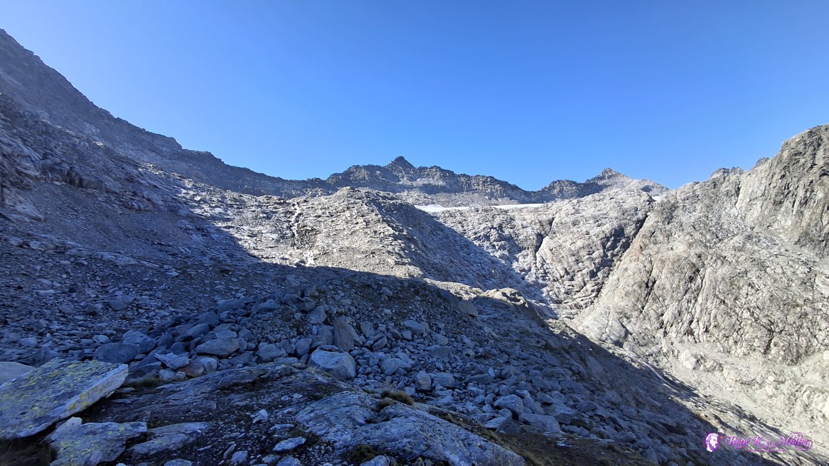 ◈ Disentis/Mustér (Δ 2535m), 2026/08/14 09:38 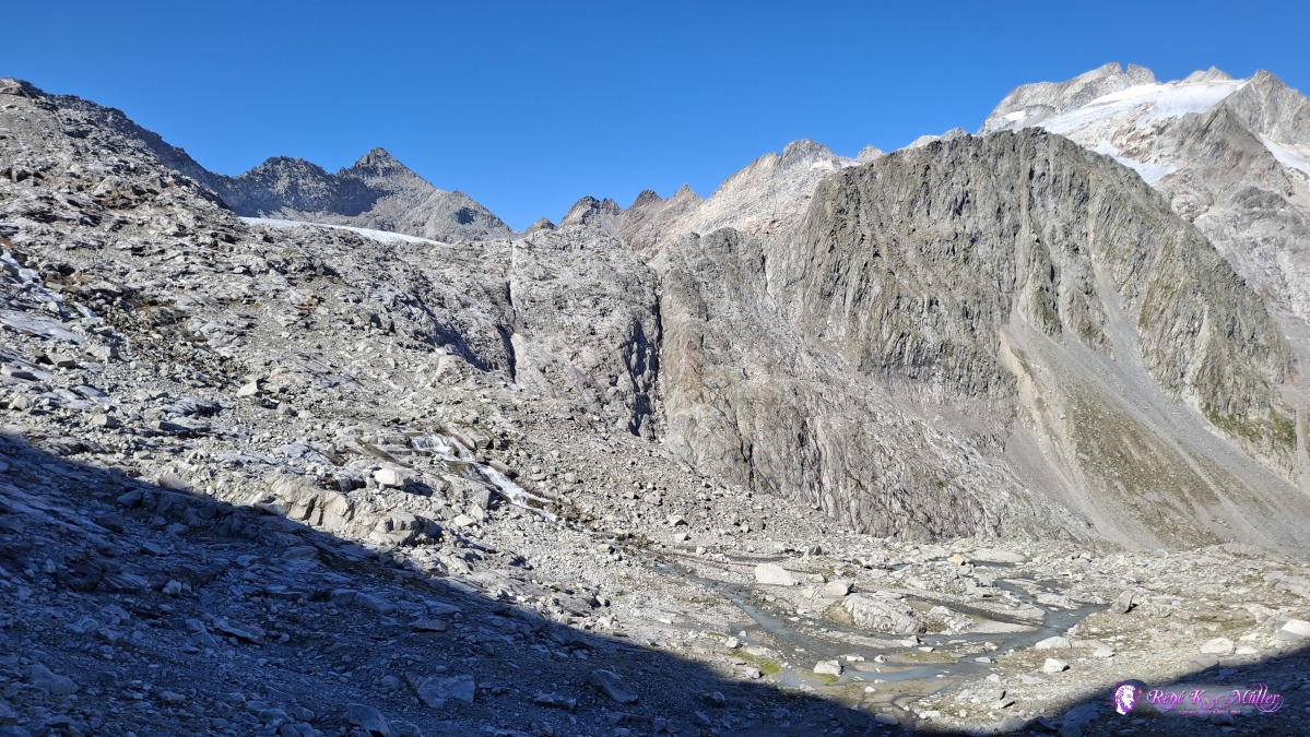 ◈ Disentis/Mustér (Δ 2557m), 2026/08/14 09:49 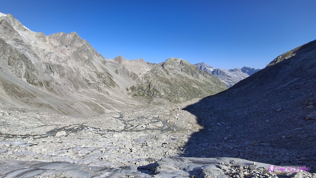 ◈ Disentis/Mustér (Δ 2591m), 2026/08/14 09:56 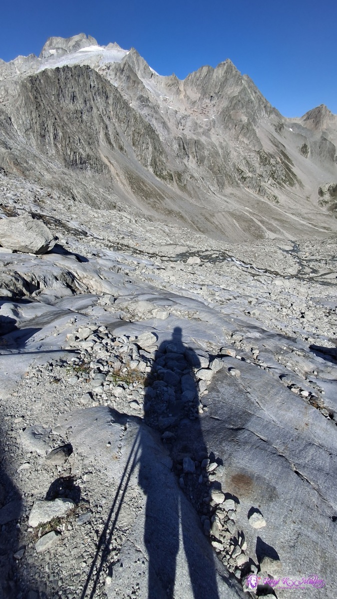 ◈ Disentis/Mustér (Δ 2591m), 2026/08/14 09:56 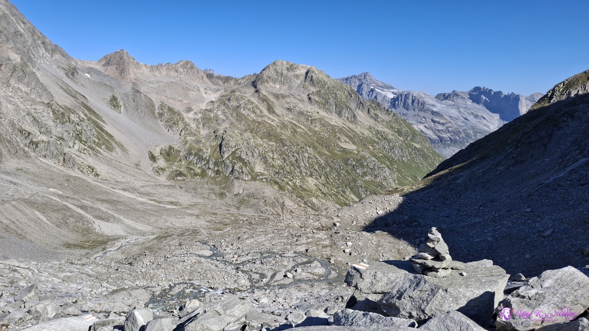 ◈ Disentis/Mustér (Δ 2620m), 2026/08/14 10:02 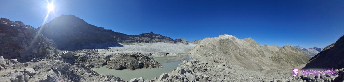 ◈ Disentis/Mustér (Δ 2601m), 2026/08/14 10:04 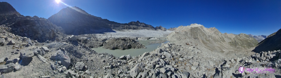 ◈ Disentis/Mustér (Δ 2635m), 2026/08/14 10:04 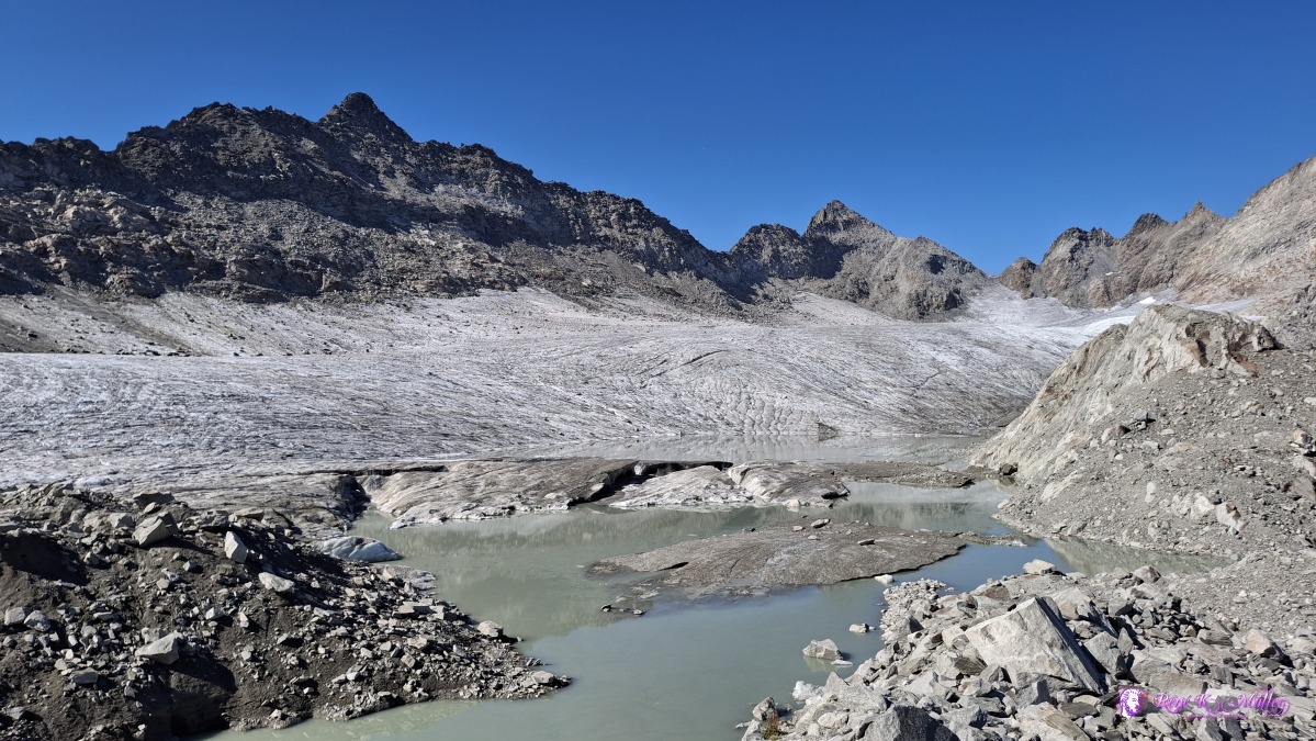 ◈ Disentis/Mustér (Δ 2647m), 2026/08/14 10:05 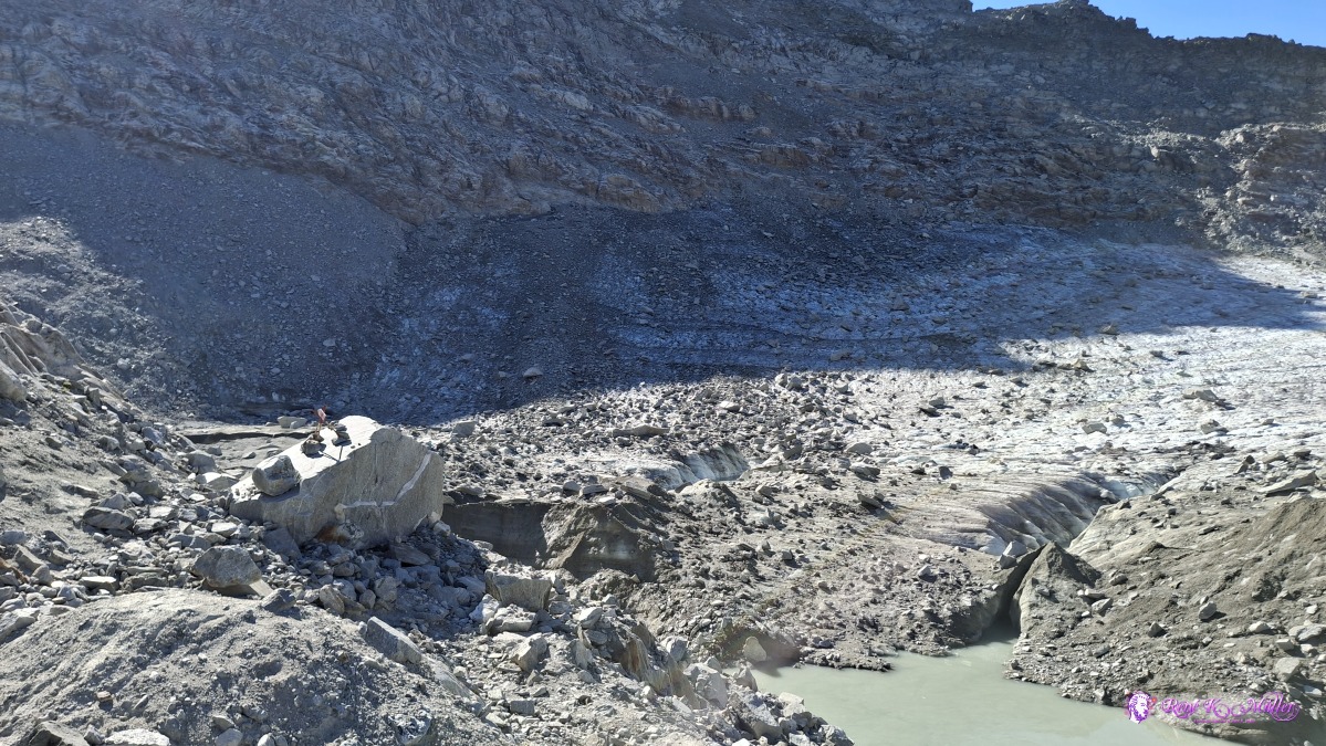 ◈ Disentis/Mustér (Δ 2647m), 2026/08/14 10:05 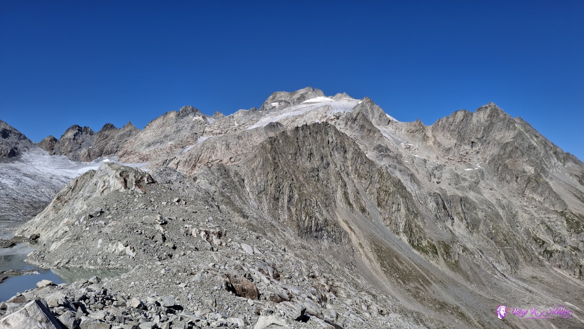 ◈ Disentis/Mustér (Δ 2647m), 2026/08/14 10:05 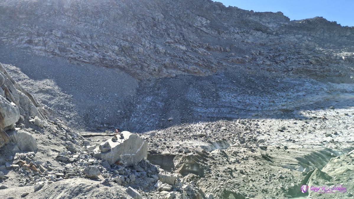 ◈ Disentis/Mustér (Δ 2629m), 2026/08/14 10:05 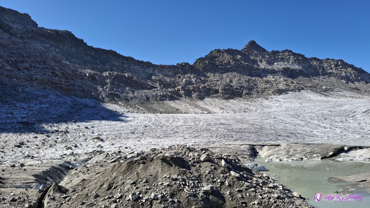 ◈ Disentis/Mustér (Δ 2629m), 2026/08/14 10:05 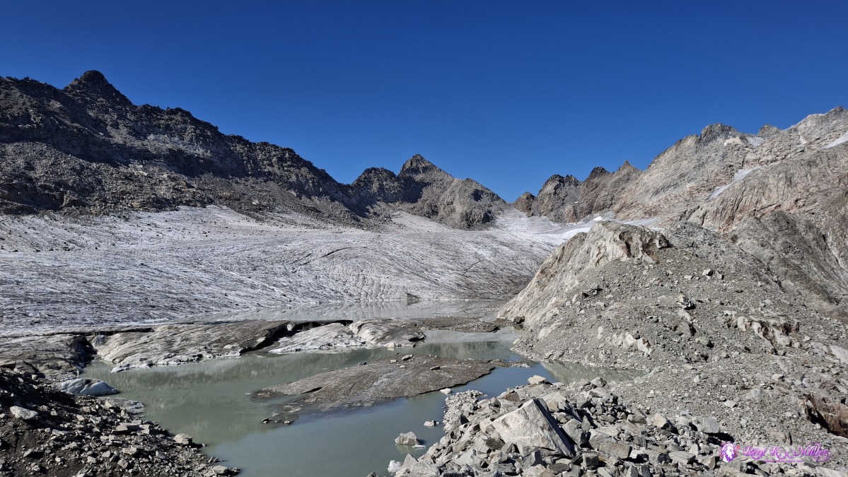 ◈ Disentis/Mustér (Δ 2629m), 2026/08/14 10:05 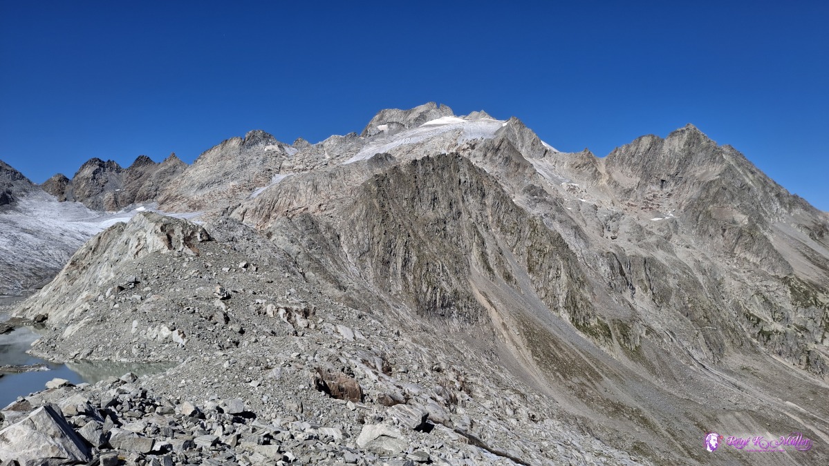 ◈ Disentis/Mustér (Δ 2629m), 2026/08/14 10:05 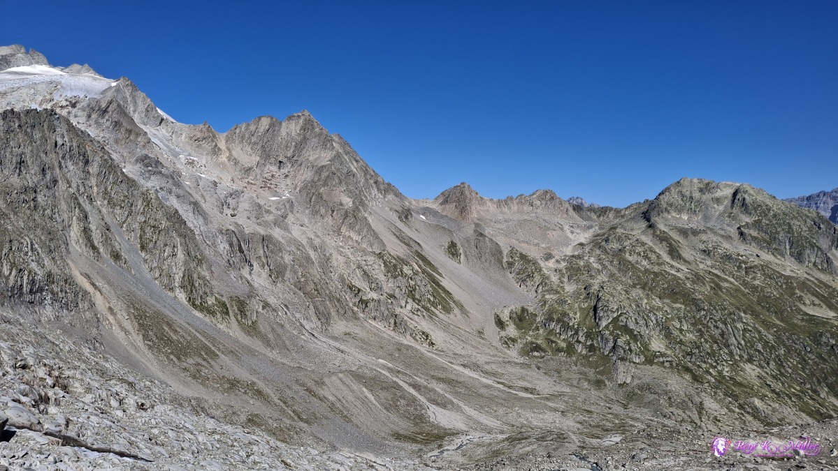 ◈ Disentis/Mustér (Δ 2629m), 2026/08/14 10:05 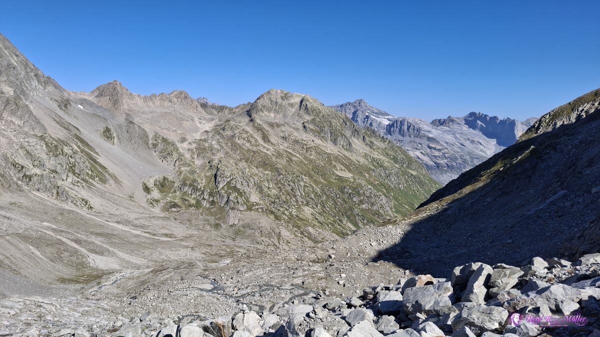 ◈ Disentis/Mustér (Δ 2629m), 2026/08/14 10:05 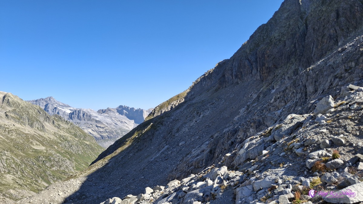 ◈ Disentis/Mustér (Δ 2629m), 2026/08/14 10:06 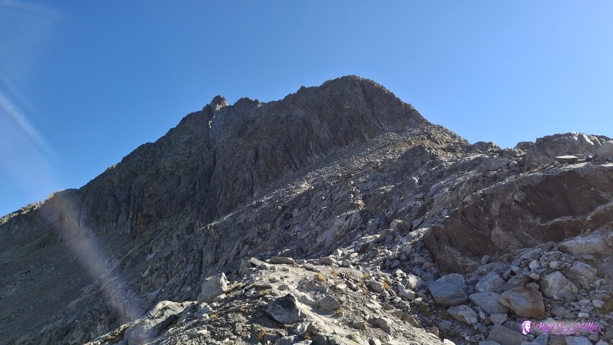 ◈ Disentis/Mustér (Δ 2629m), 2026/08/14 10:06 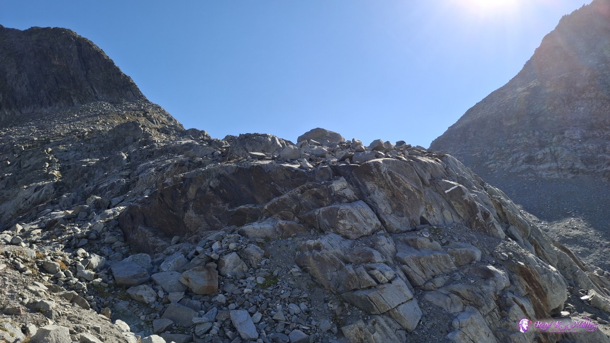 ◈ Disentis/Mustér (Δ 2629m), 2026/08/14 10:06 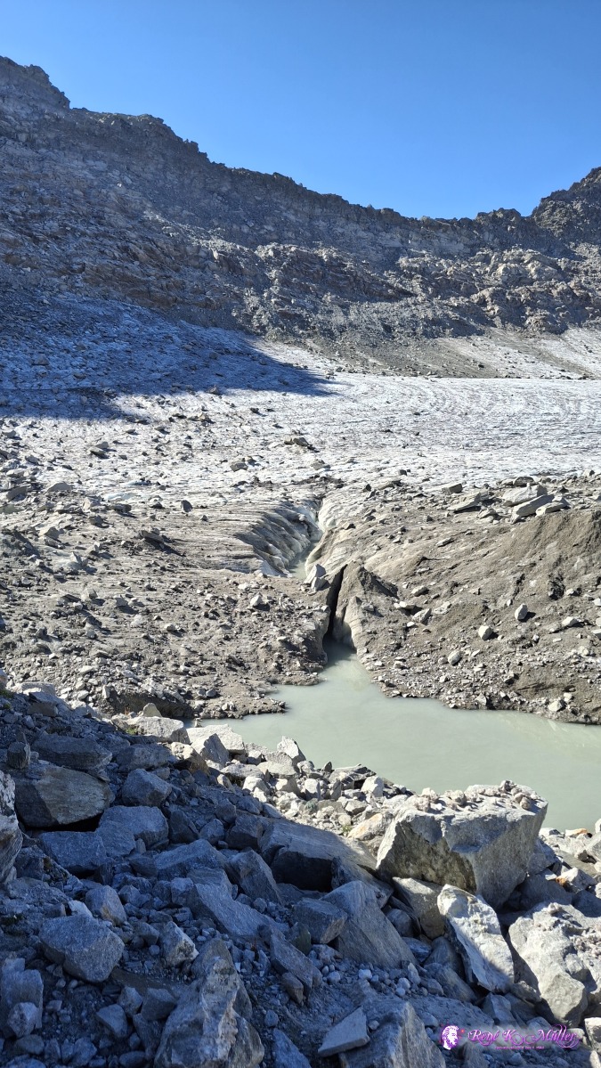 2026/08/14 10:07 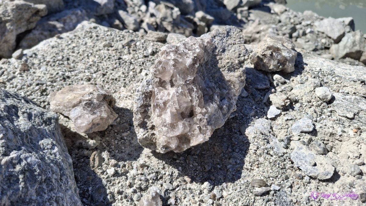 ◈ Disentis/Mustér (Δ 2615m), 2026/08/14 10:07 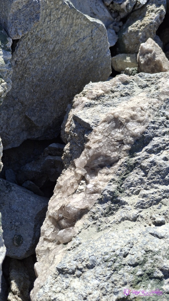 ◈ Disentis/Mustér (Δ 2615m), 2026/08/14 10:07 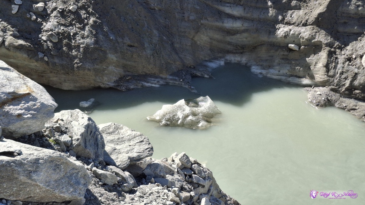 ◈ Disentis/Mustér (Δ 2615m), 2026/08/14 10:09 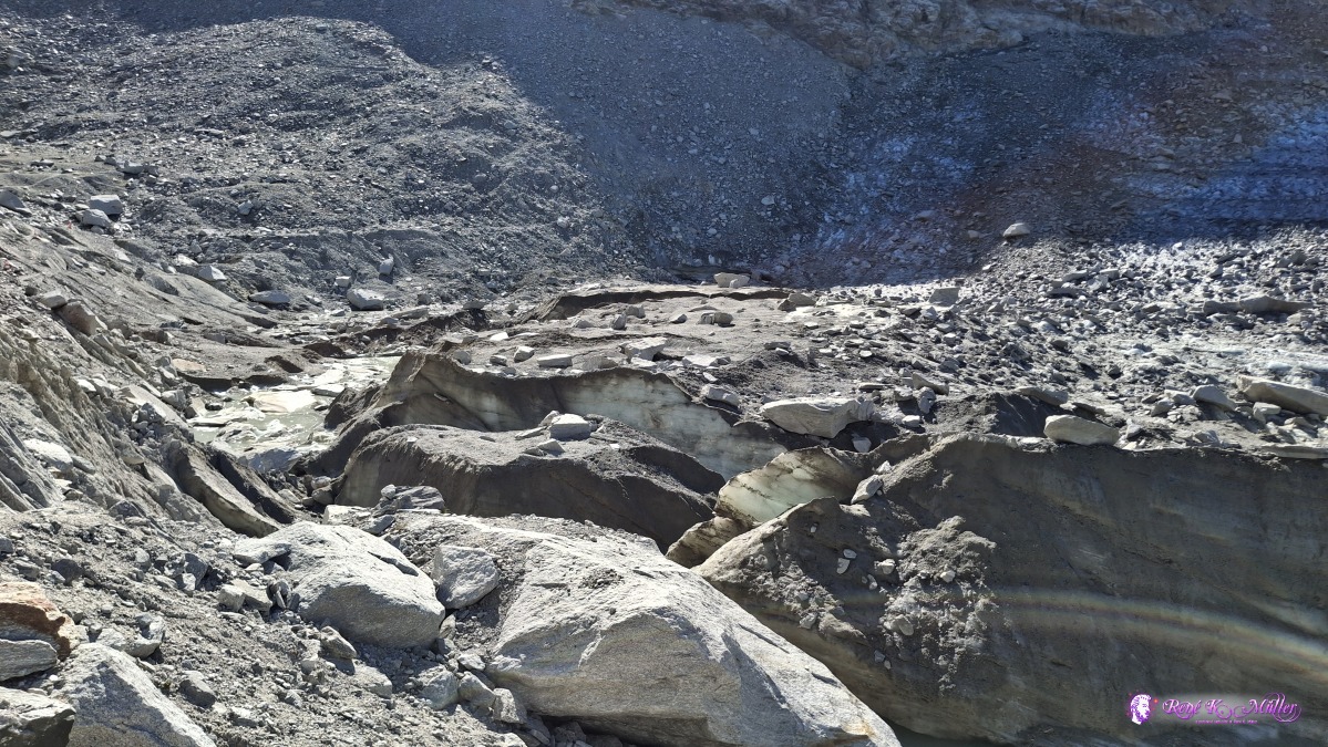 ◈ Disentis/Mustér (Δ 2615m), 2026/08/14 10:09 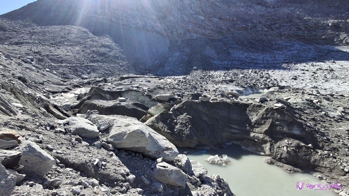 ◈ Disentis/Mustér (Δ 2615m), 2026/08/14 10:09 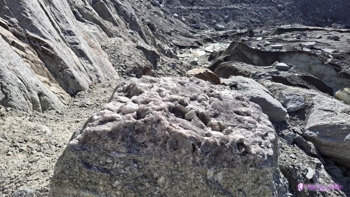 ◈ Disentis/Mustér (Δ 2636m), 2026/08/14 10:09 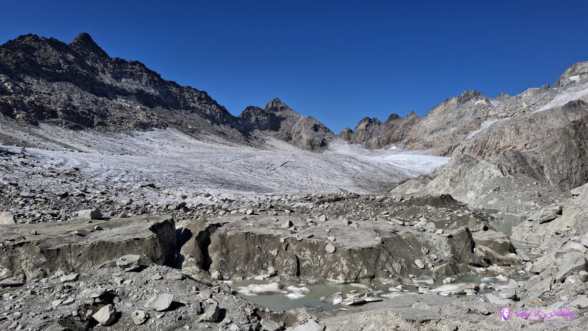 ◈ Disentis/Mustér (Δ 2616m), 2026/08/14 10:14 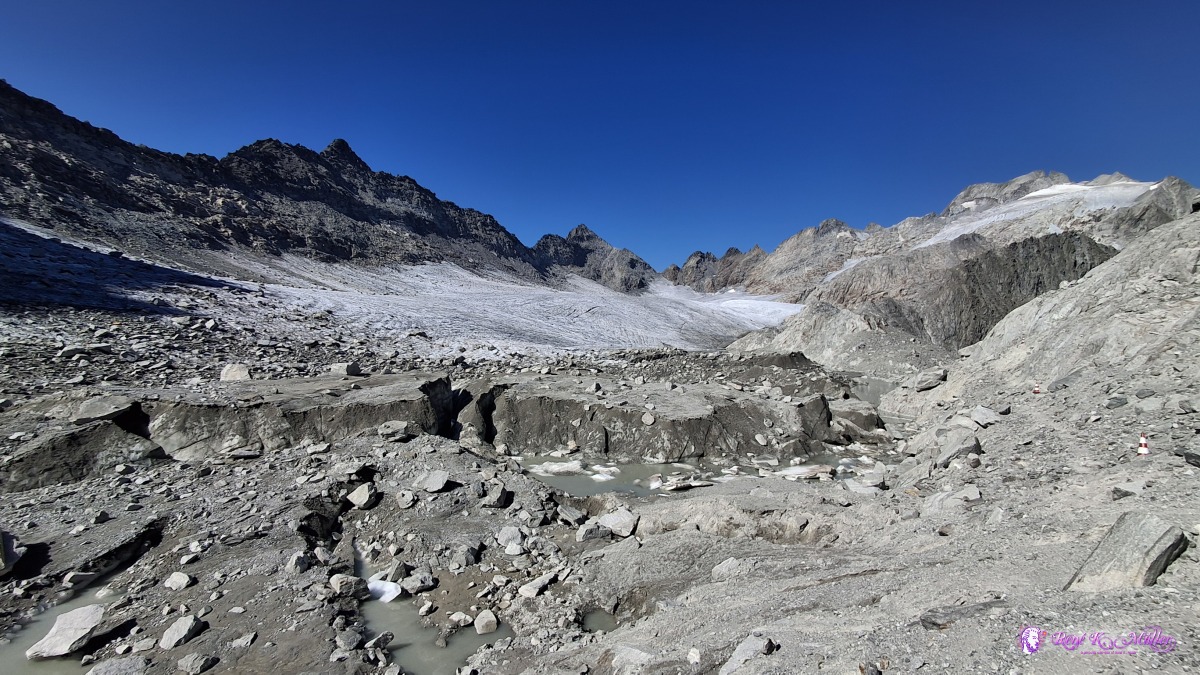 ◈ Disentis/Mustér (Δ 2616m), 2026/08/14 10:14 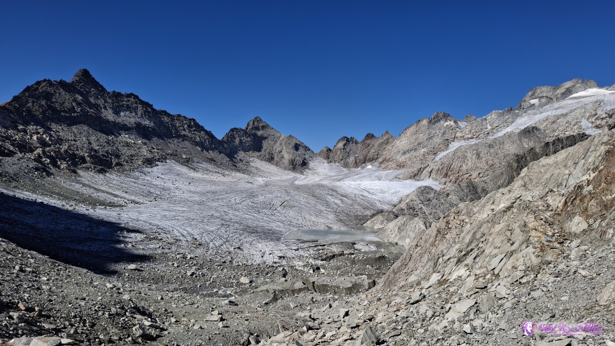 ◈ Disentis/Mustér (Δ 2667m), 2026/08/14 10:22 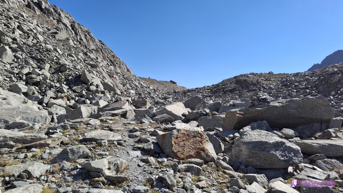 ◈ Disentis/Mustér (Δ 2668m), 2026/08/14 10:22 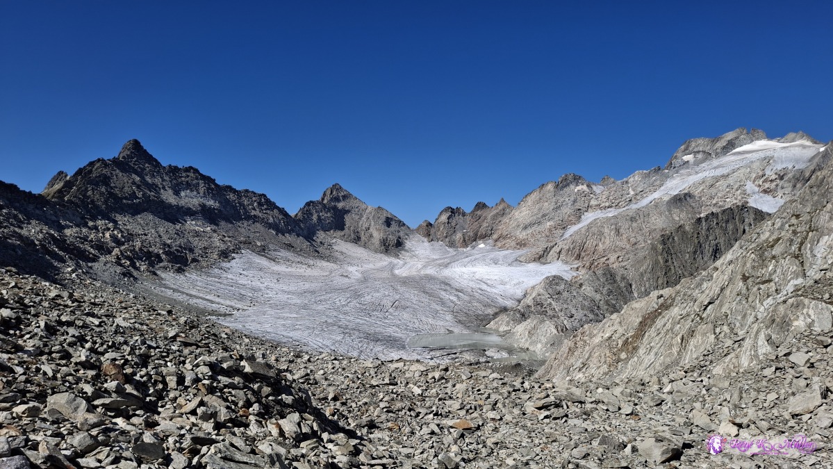 ◈ Disentis/Mustér (Δ 2699m), 2026/08/14 10:29 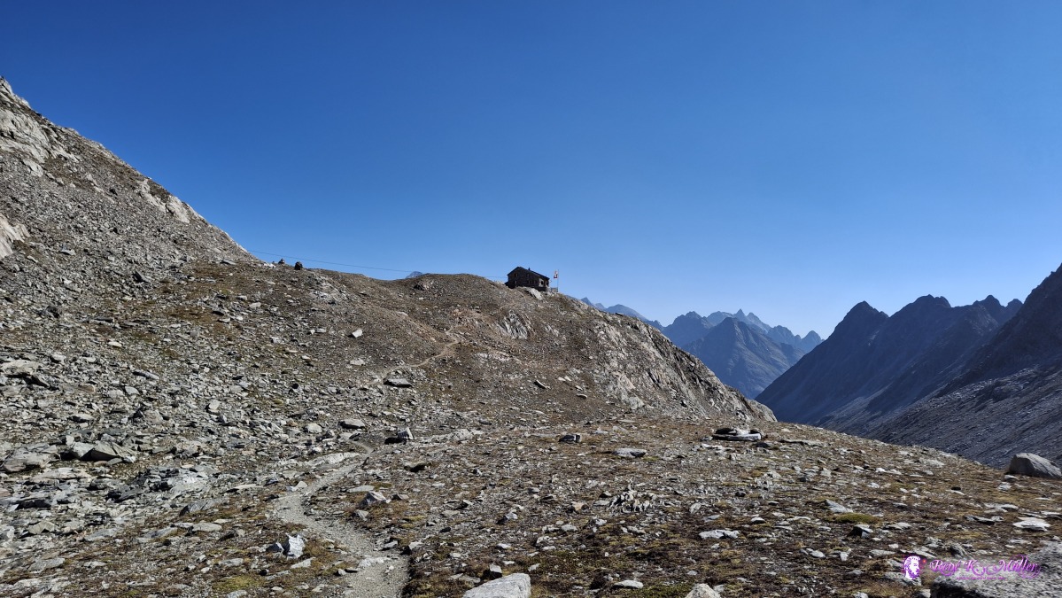 ◈ Disentis/Mustér (Δ 2698m), 2026/08/14 10:29 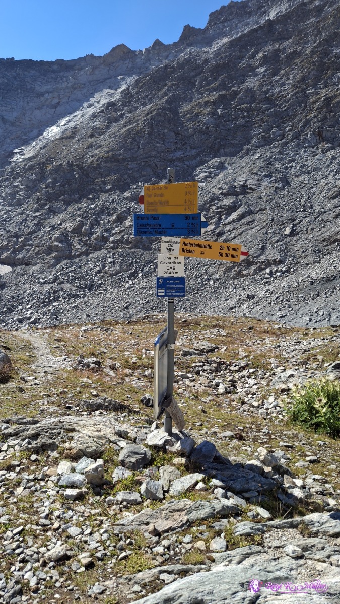 ◈ Disentis/Mustér (Δ 2701m), 2026/08/14 10:35 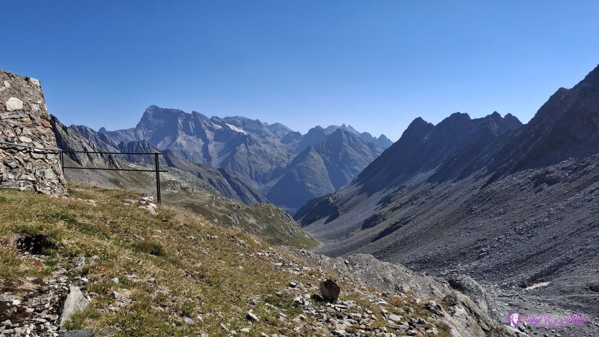 ◈ Disentis/Mustér (Δ 2700m), 2026/08/14 10:36 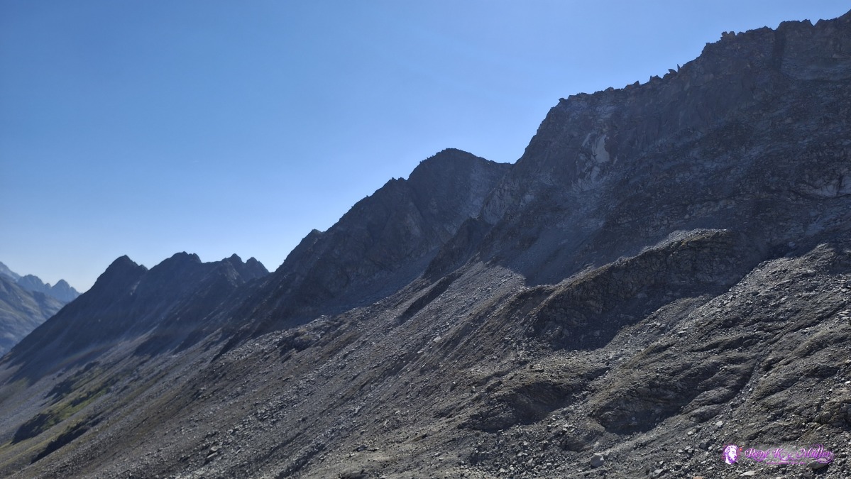 ◈ Disentis/Mustér (Δ 2700m), 2026/08/14 10:36 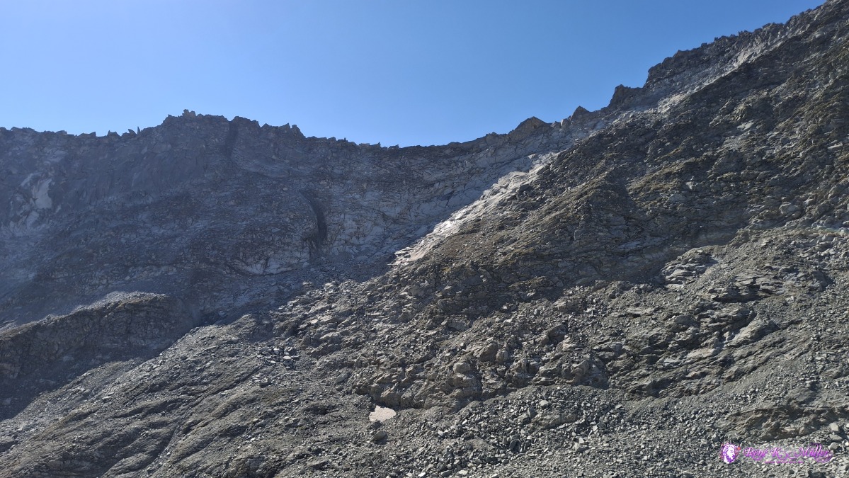 ◈ Disentis/Mustér (Δ 2700m), 2026/08/14 10:36 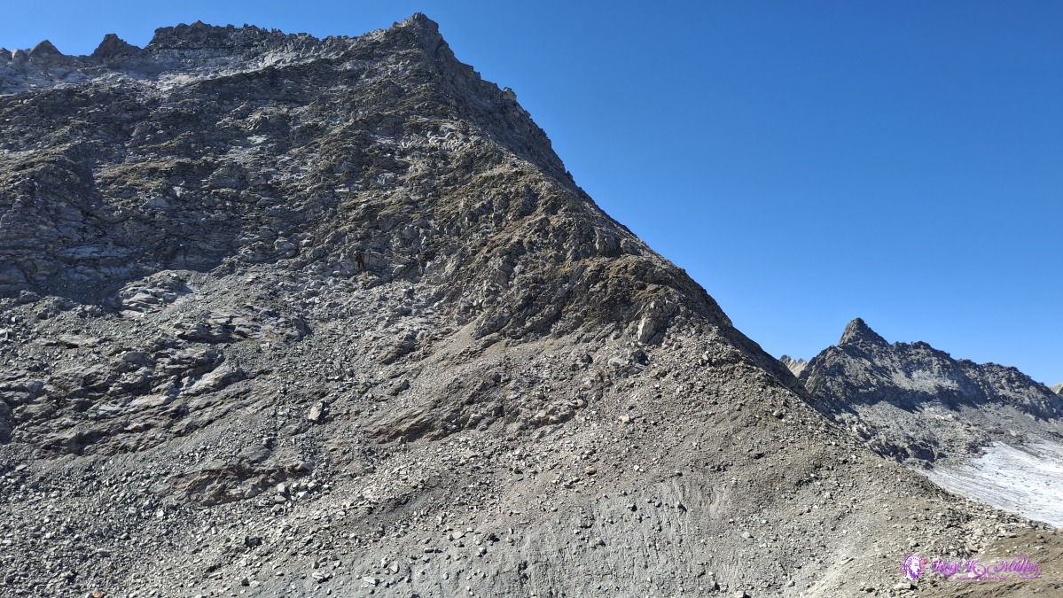 ◈ Disentis/Mustér (Δ 2700m), 2026/08/14 10:36 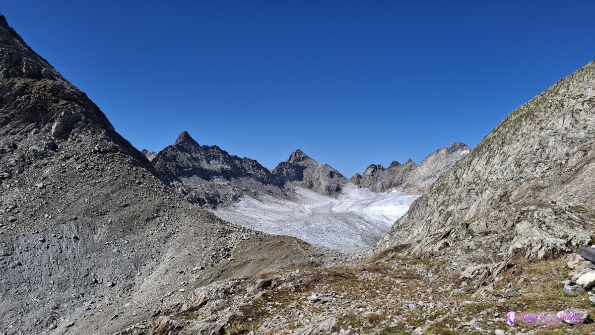 ◈ Disentis/Mustér (Δ 2700m), 2026/08/14 10:36 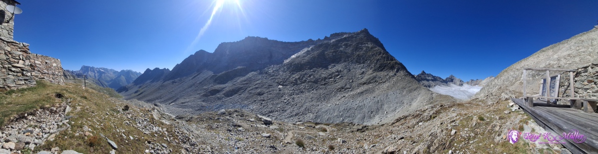 ◈ Disentis/Mustér (Δ 2700m), 2026/08/14 10:37 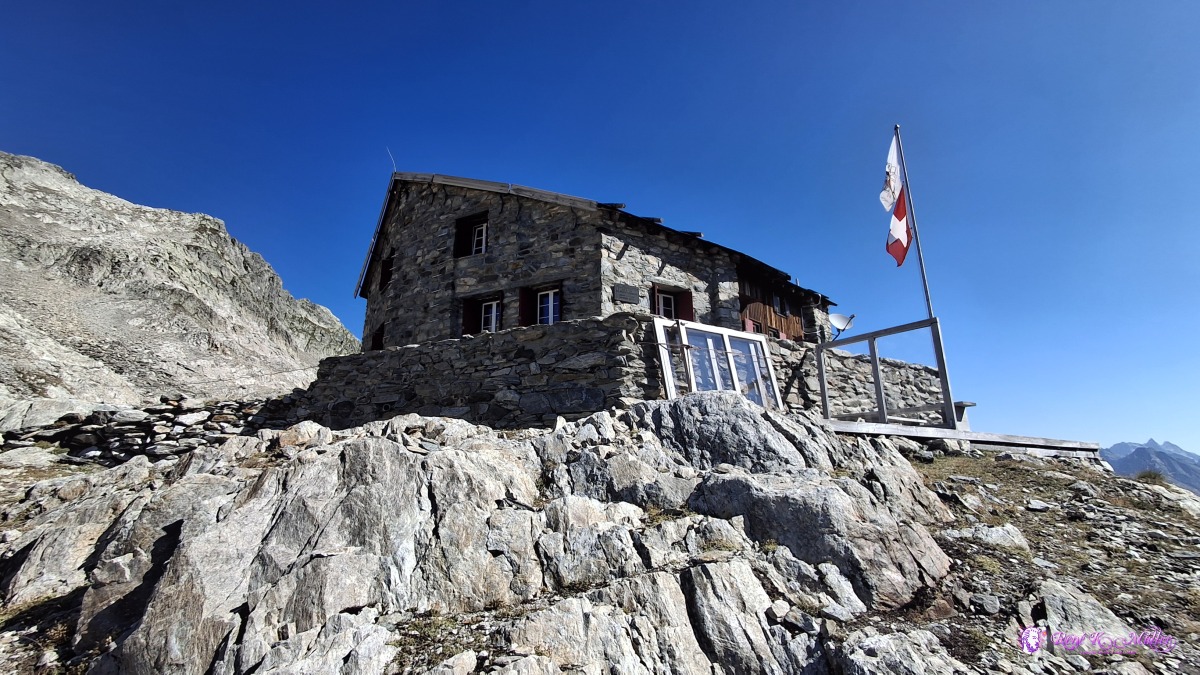 ◈ Disentis/Mustér (Δ 2701m), 2026/08/14 10:38 Descending from 2650m slowly to 2100m, not at the valley bottom but a bit higher up, and about Alp Cavrein I decide to stay for tonight, 1800m elevation - about 800m descend so far. I rest / wait until the sun sets over the high mountain range, and then pitch the tent - early resting.
 ◈ Disentis/Mustér (Δ 2679m), 2026/08/14 11:03 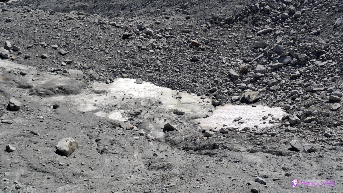 ◈ Disentis/Mustér (Δ 2652m), 2026/08/14 11:06 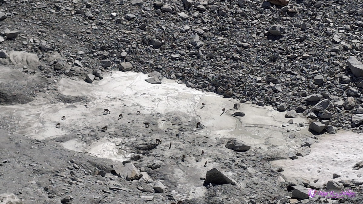 ◈ Disentis/Mustér (Δ 2648m), 2026/08/14 11:07 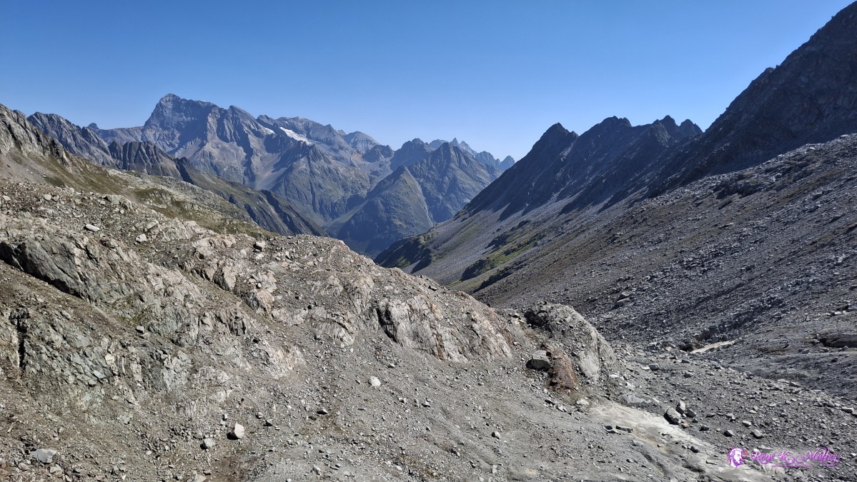 ◈ Disentis/Mustér (Δ 2662m), 2026/08/14 11:07 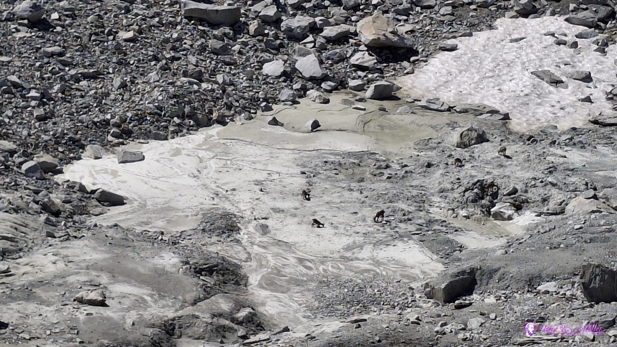 ◈ Disentis/Mustér (Δ 2603m), 2026/08/14 11:17 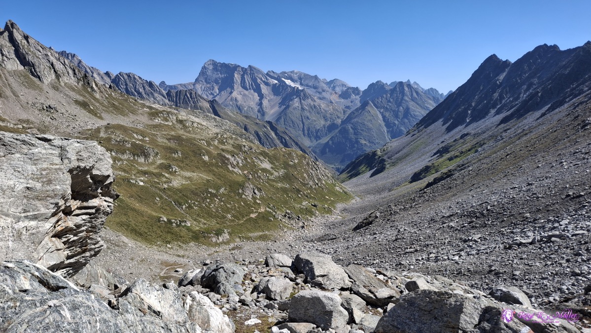 ◈ Disentis/Mustér (Δ 2588m), 2026/08/14 11:21 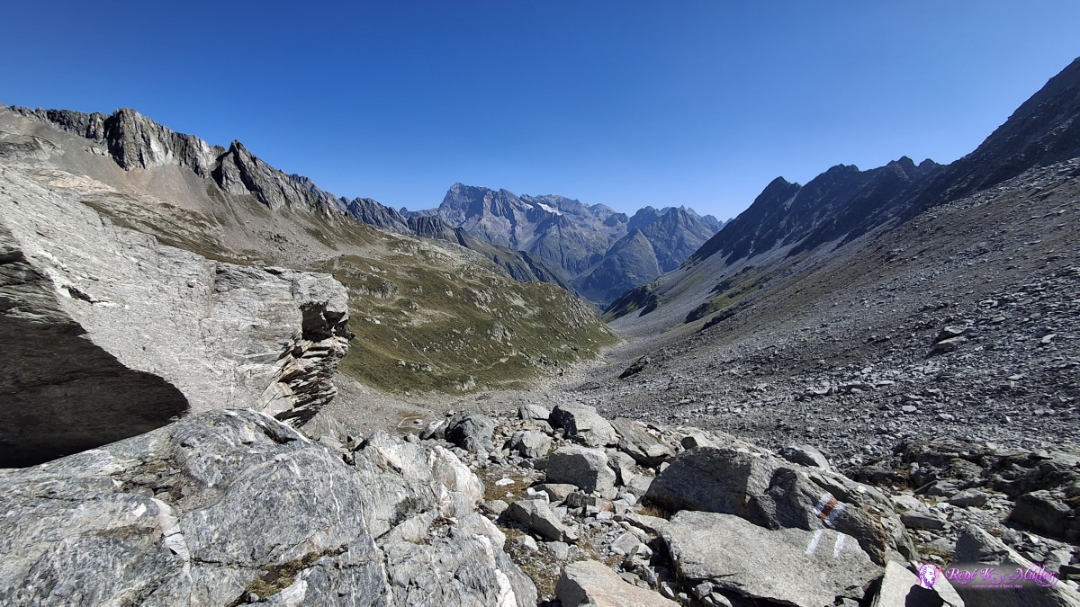 ◈ Disentis/Mustér (Δ 2588m), 2026/08/14 11:21 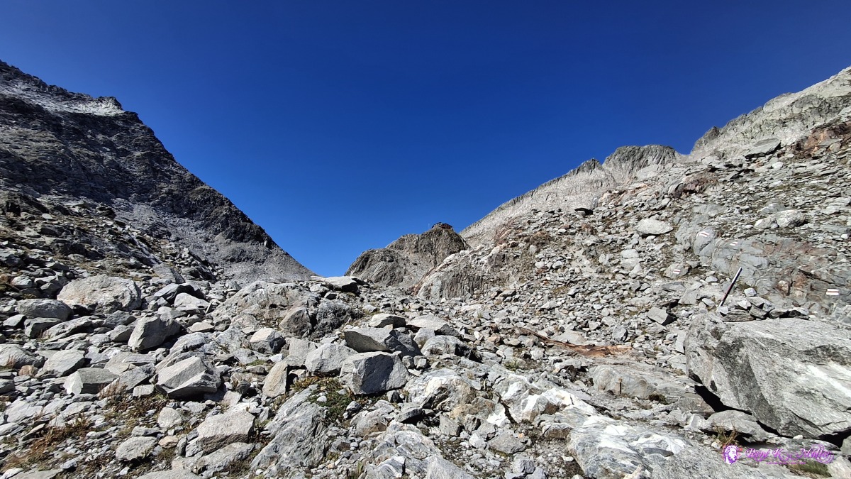 ◈ Disentis/Mustér (Δ 2588m), 2026/08/14 11:21 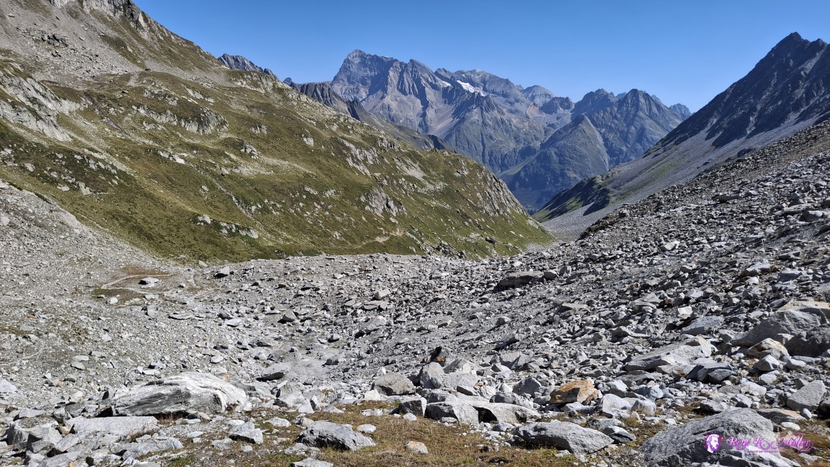 ◈ Disentis/Mustér (Δ 2501m), 2026/08/14 11:35 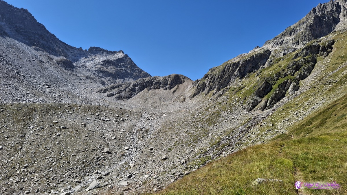 ◈ Disentis/Mustér (Δ 2375m), 2026/08/14 12:02 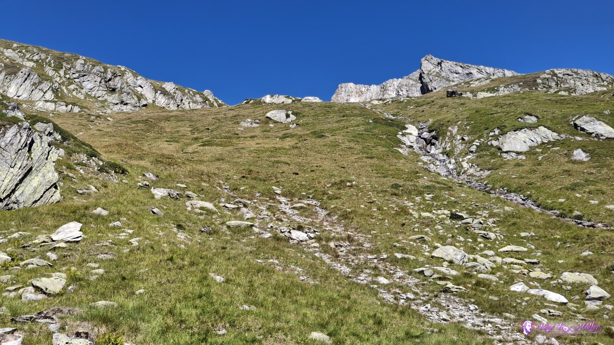 ◈ Disentis/Mustér (Δ 2370m), 2026/08/14 12:02 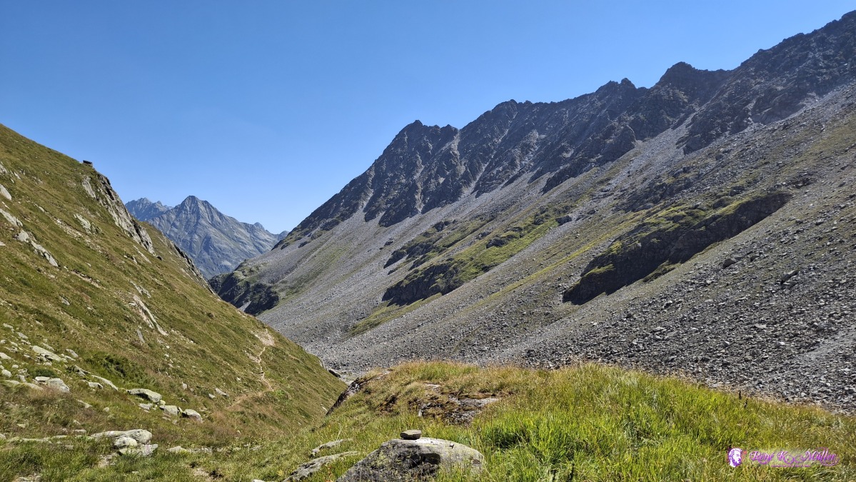 ◈ Disentis/Mustér (Δ 2370m), 2026/08/14 12:02 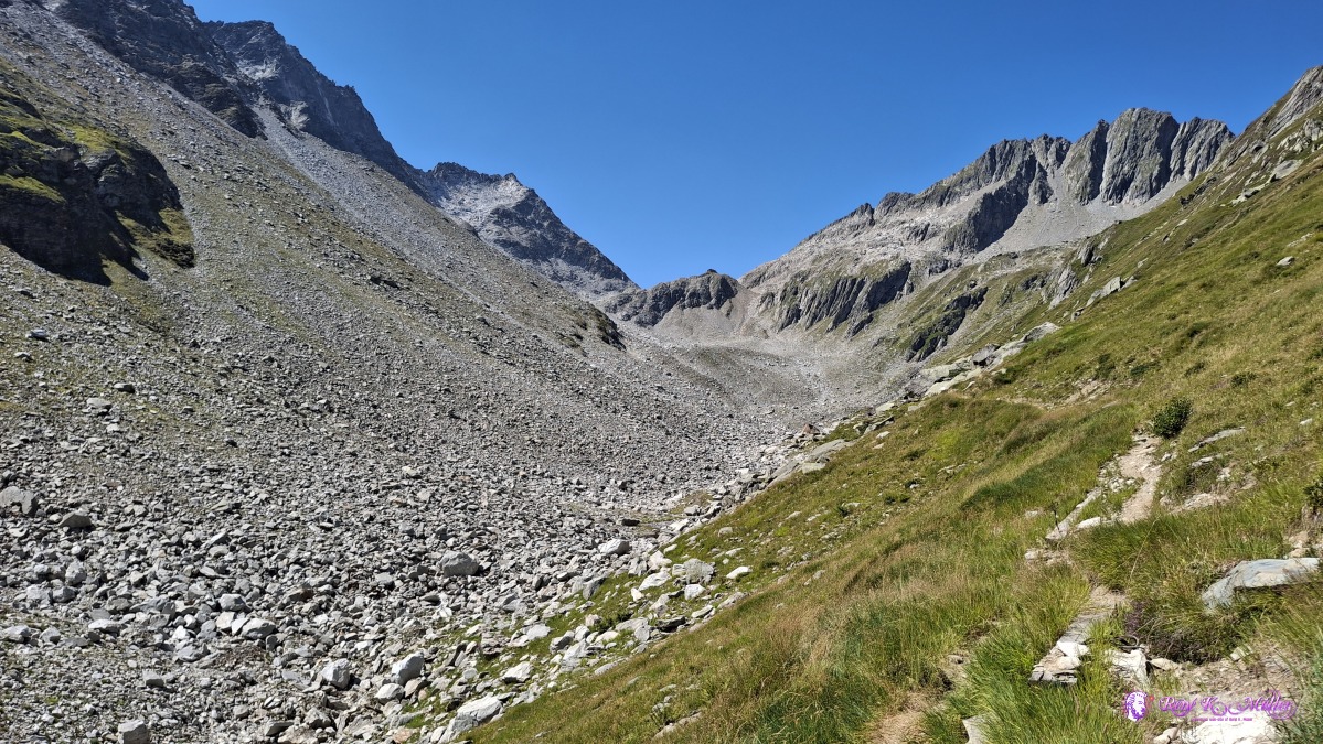 ◈ Disentis/Mustér (Δ 2295m), 2026/08/14 12:24 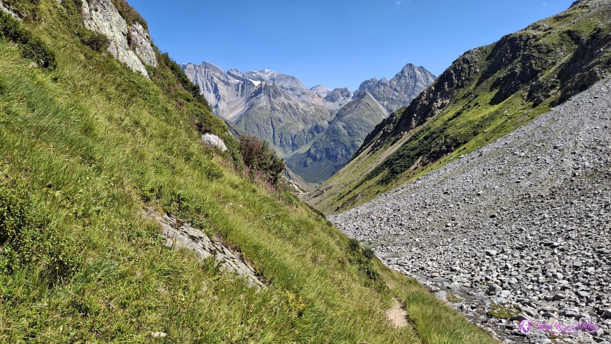 ◈ Disentis/Mustér (Δ 2206m), 2026/08/14 12:36 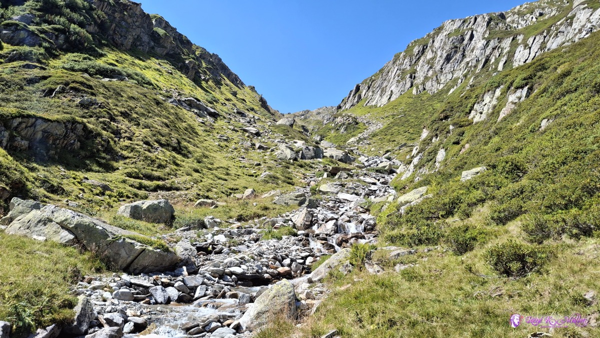 ◈ Disentis/Mustér (Δ 2157m), 2026/08/14 13:00 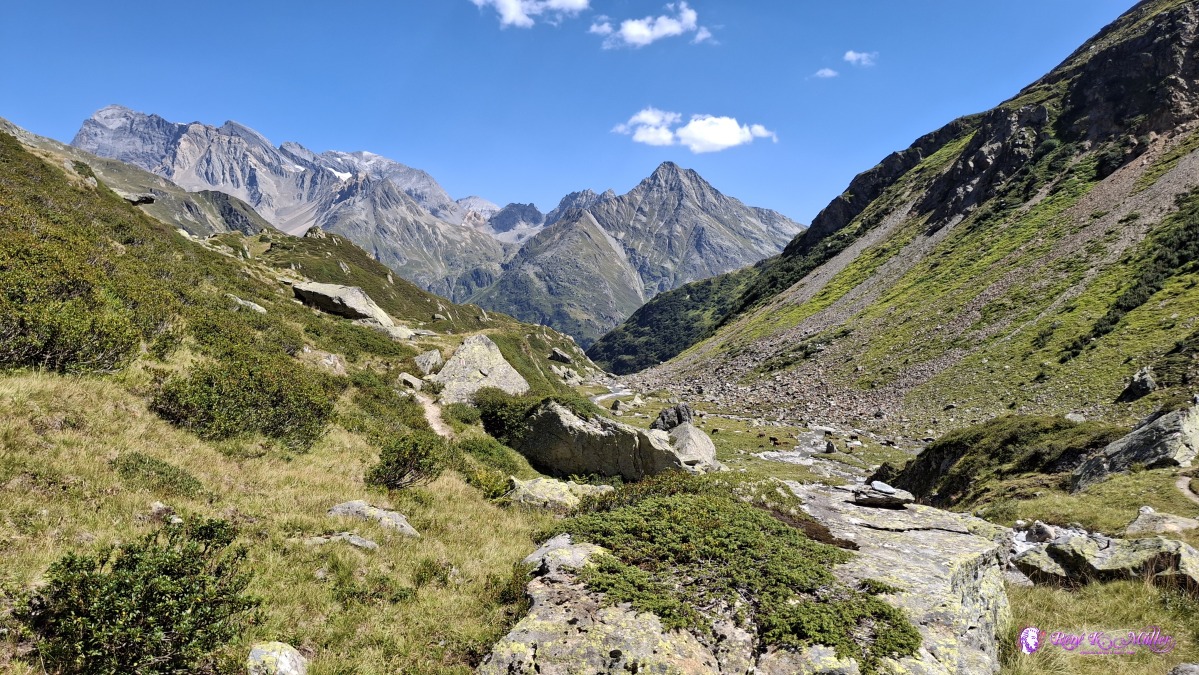 ◈ Disentis/Mustér (Δ 2157m), 2026/08/14 13:00 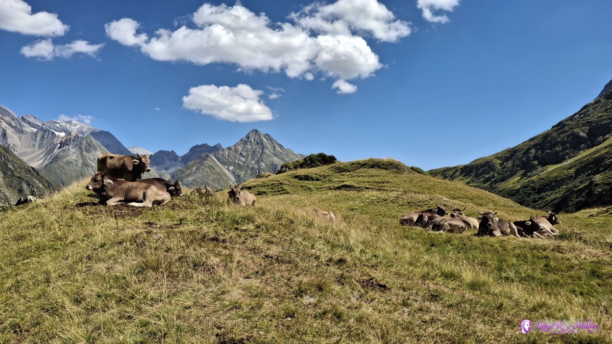 ◈ Disentis/Mustér (Δ 2176m), 2026/08/14 13:33 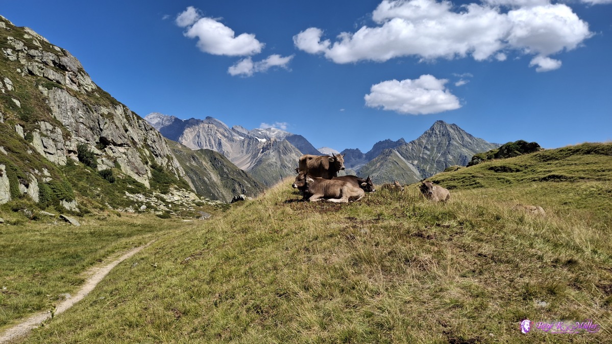 ◈ Disentis/Mustér (Δ 2176m), 2026/08/14 13:34 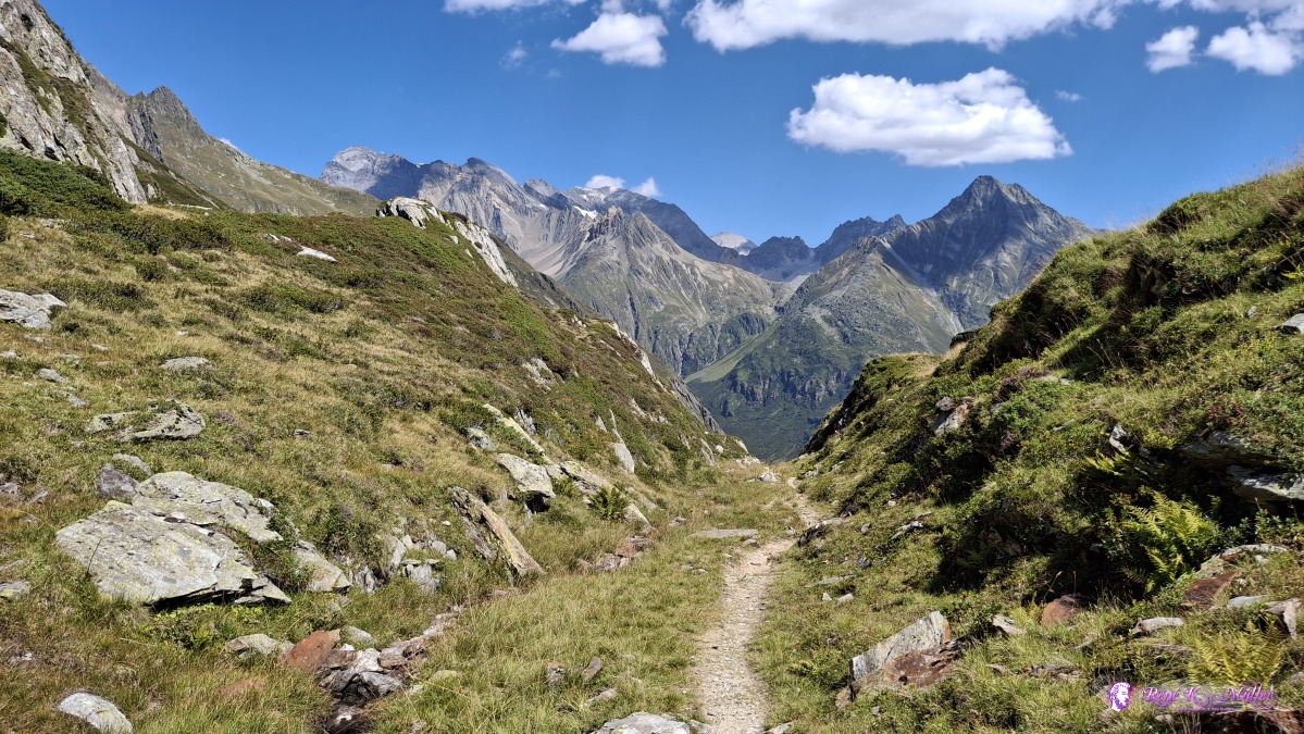 ◈ Disentis/Mustér (Δ 2175m), 2026/08/14 13:36 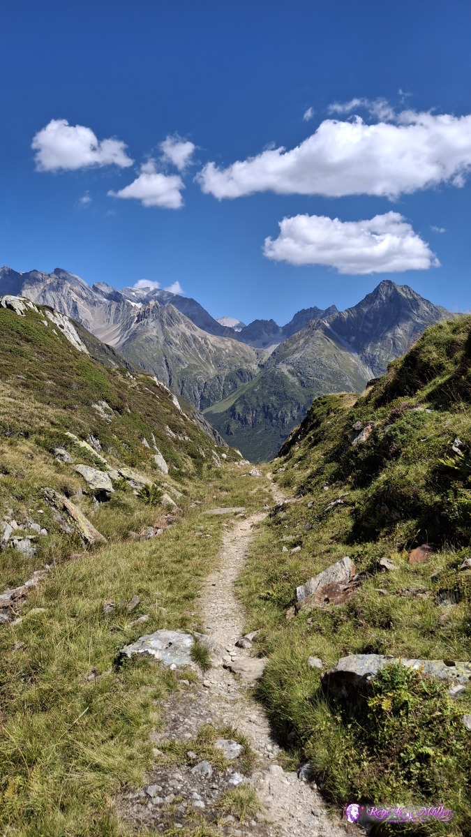 ◈ Disentis/Mustér (Δ 2167m), 2026/08/14 13:36 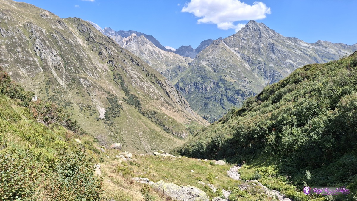 ◈ Disentis/Mustér (Δ 2087m), 2026/08/14 13:53 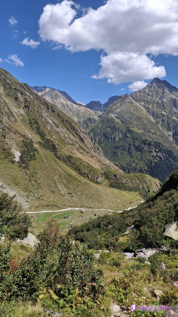 ◈ Disentis/Mustér (Δ 2060m), 2026/08/14 13:58 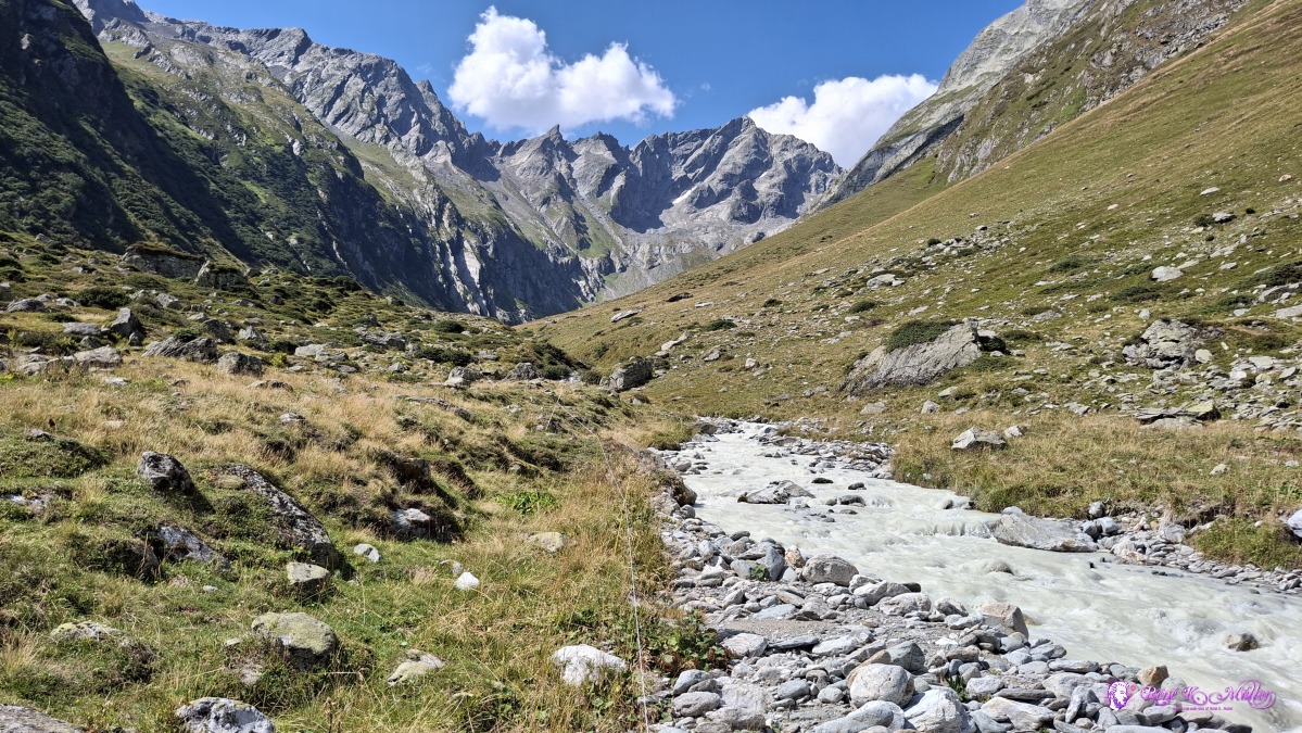 2026/08/14 15:06 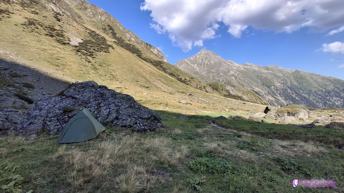 2026/08/14 17:31 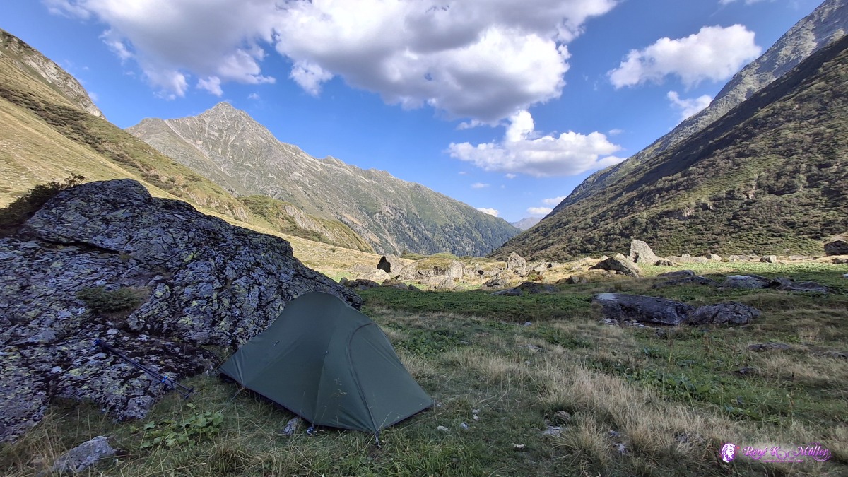 2026/08/14 17:31 Saturday 2026/08/15: Alp Cavrein - Disentis - Tschamut - TrutgLong mild descend from 1800m to 1000m Punt Gronda, and then further to Distentis, to shop some groceries and rest. I decide to take the train to jump a bit further, as this afternoon thunderstorms are expected, and I want a good place for tonight. So I take the train the Tschamut, 30min train ride, about 3-4 hrs hike equivalent, and ascend to a small farm called Milez, but very exposed places and windy, I choose to hike higher up from 1850m to 2050m again, around Tgatlems / Trutg, a bit out of sights of Oberalppass, I pitch the tent around 16:00 already, as the sky darkes with dark gray clouds, and soon starts to rain, and thunderstorm manifesting, around 19:00 things calm down again.
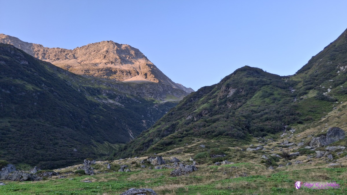 2026/08/15 06:55 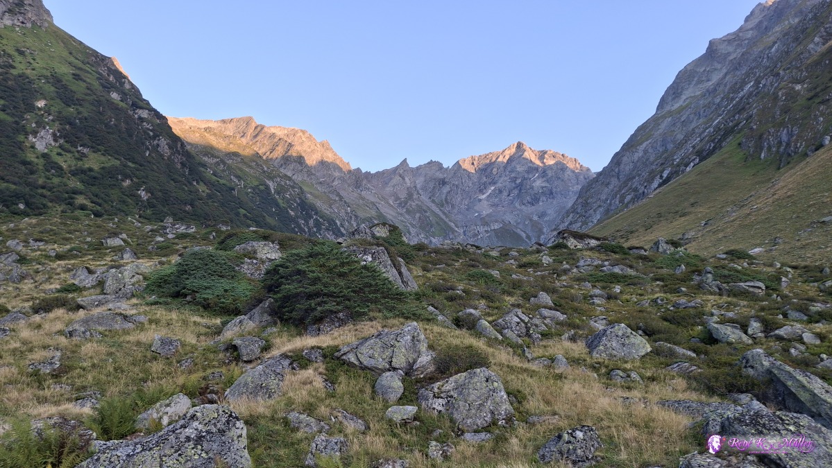 2026/08/15 06:55 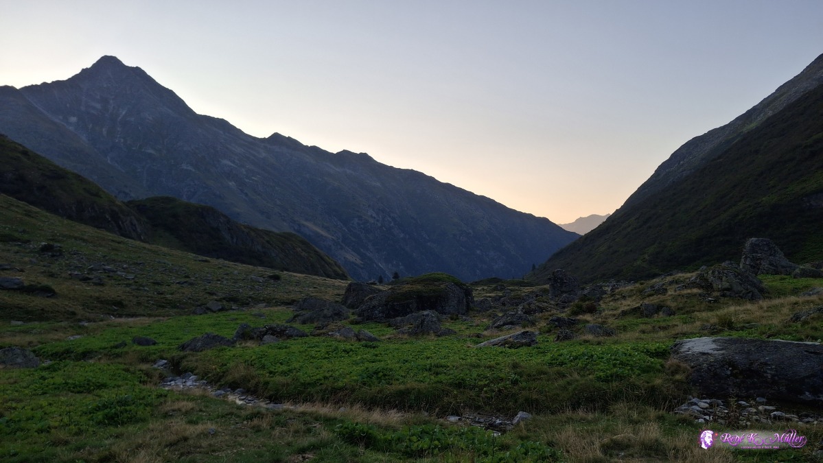 2026/08/15 06:55 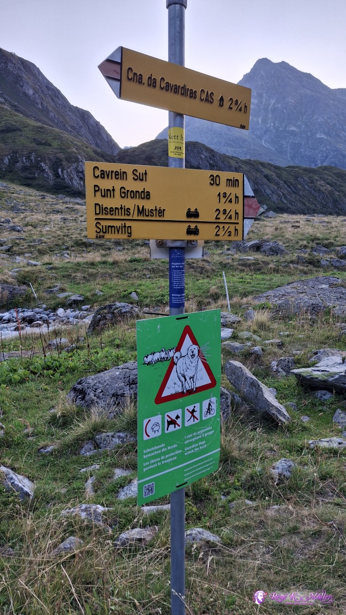 ◈ Disentis/Mustér (Δ 1870m), 2026/08/15 07:02 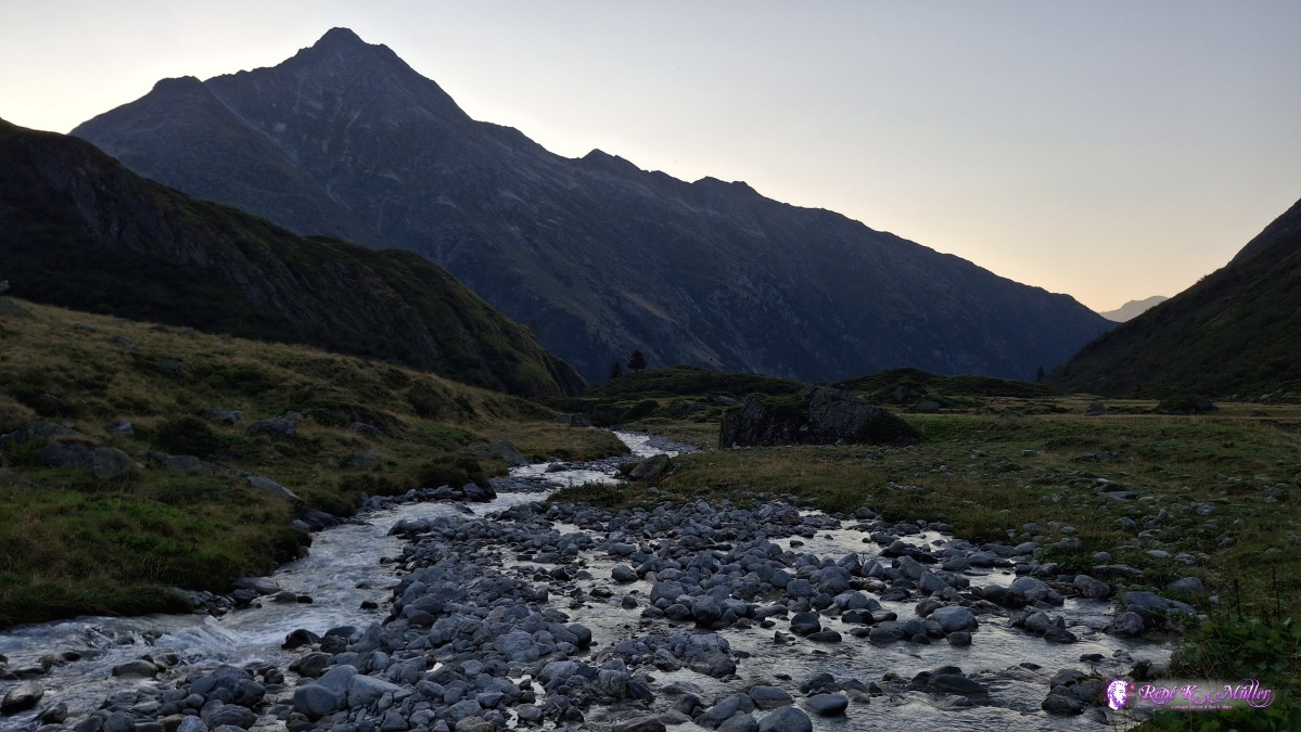 ◈ Disentis/Mustér (Δ 1858m), 2026/08/15 07:03 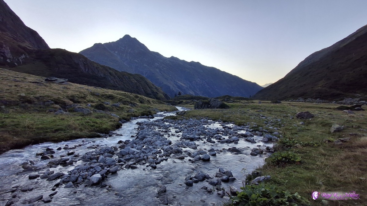 ◈ Disentis/Mustér (Δ 1858m), 2026/08/15 07:03 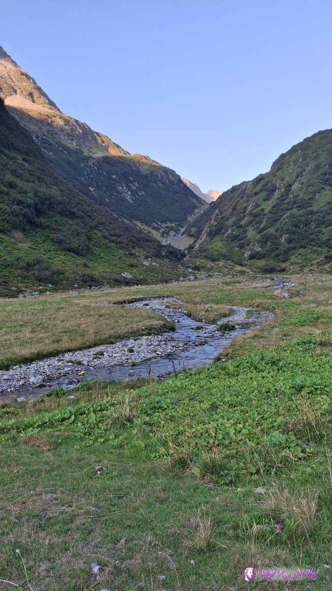 2026/08/15 07:04 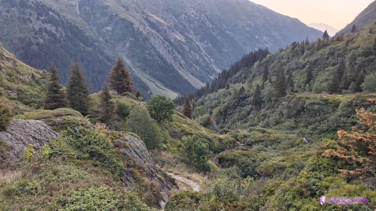 ◈ Disentis/Mustér (Δ 1849m), 2026/08/15 07:12 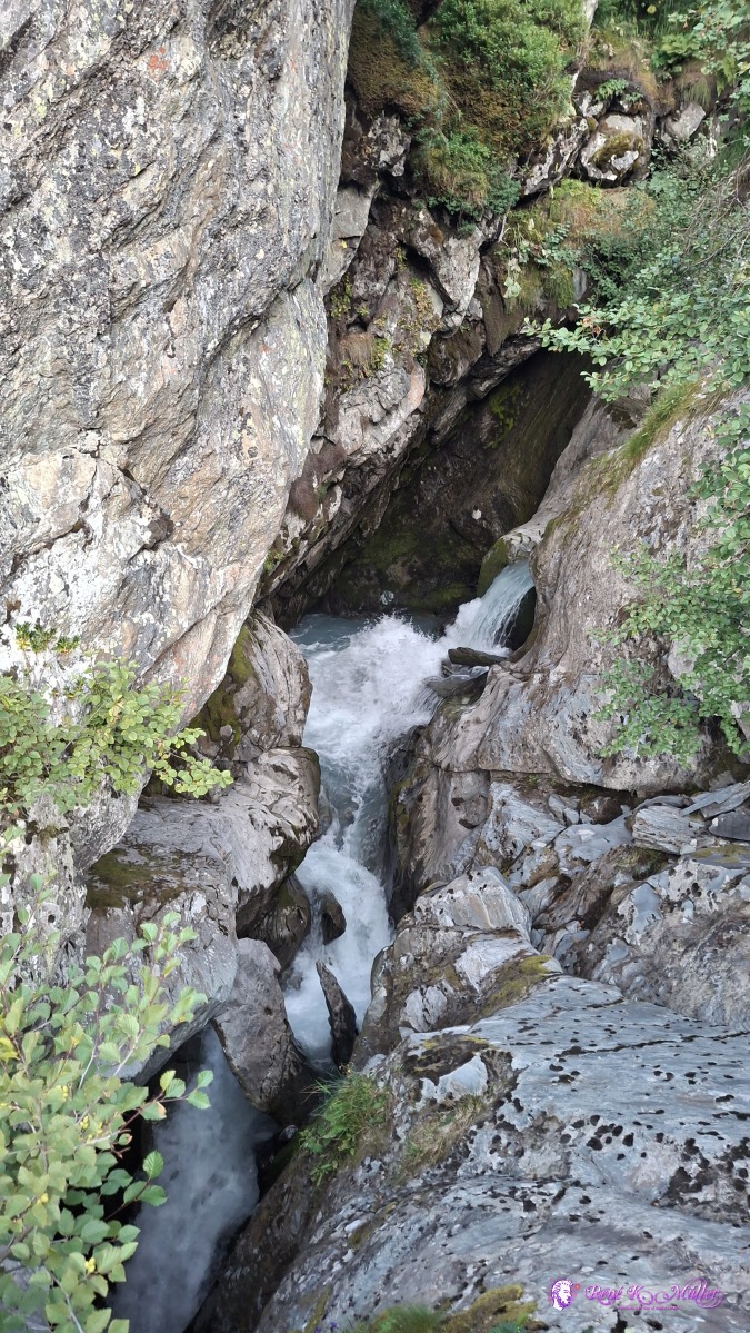 ◈ Disentis/Mustér (Δ 1835m), 2026/08/15 07:14 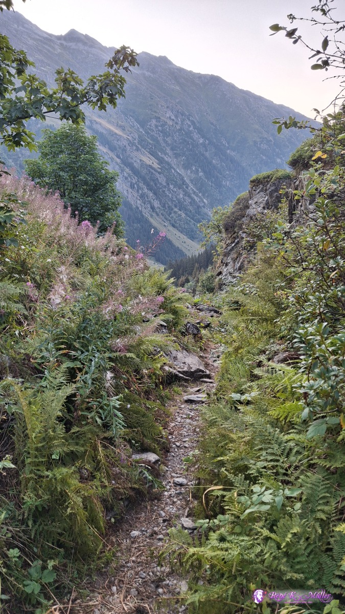 2026/08/15 07:16 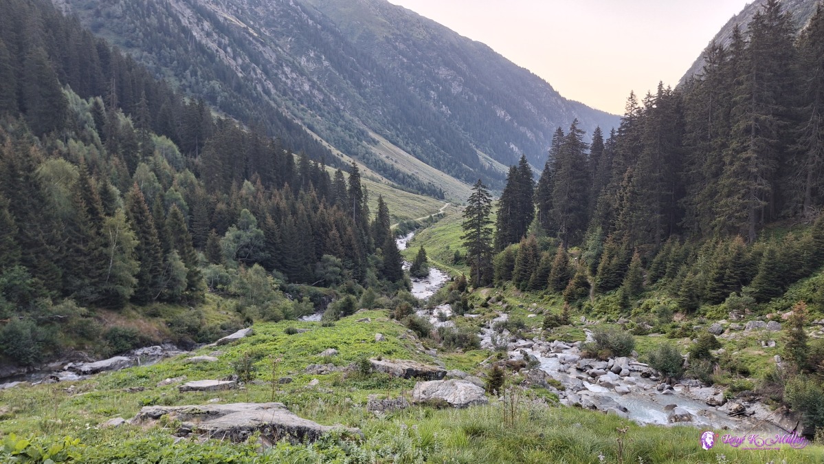 ◈ Disentis/Mustér (Δ 1628m), 2026/08/15 07:36 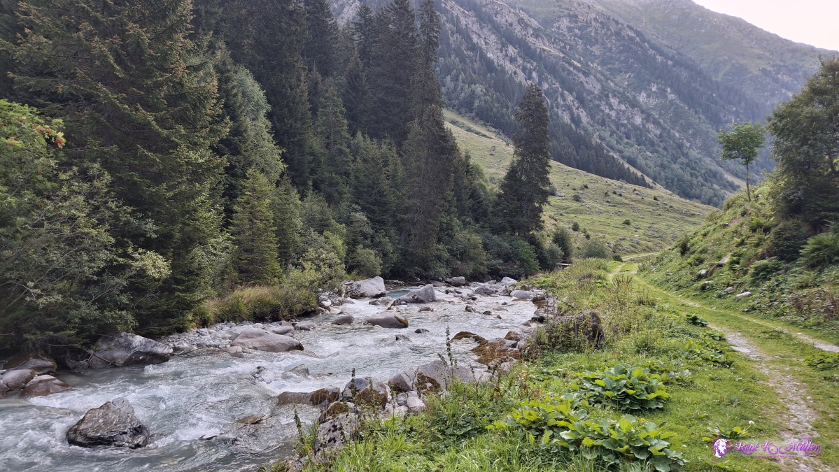 ◈ Disentis/Mustér (Δ 1625m), 2026/08/15 07:42 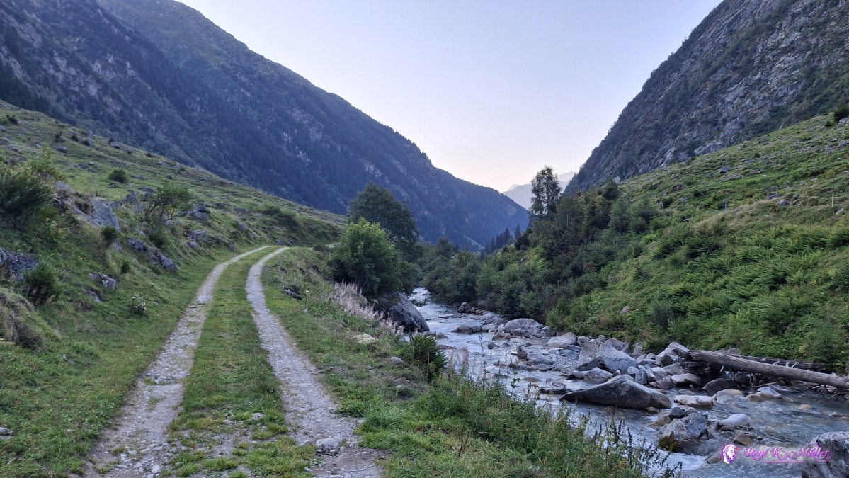 ◈ Sumvitg (Δ 1587m), 2026/08/15 07:45 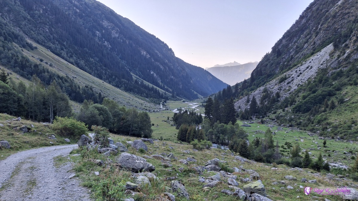 ◈ Pardomat Dado, Cumpadials (Δ 1563m), 2026/08/15 07:49 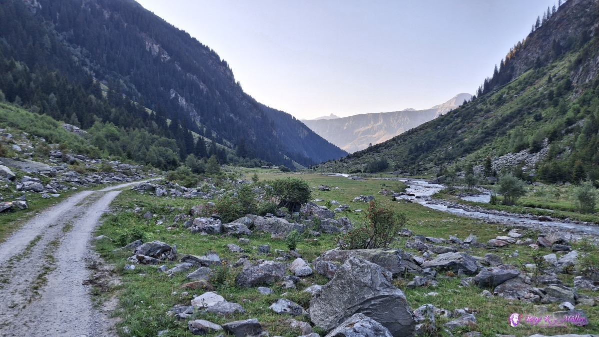 ◈ Pardomat Dado, Cumpadials (Δ 1599m), 2026/08/15 07:58 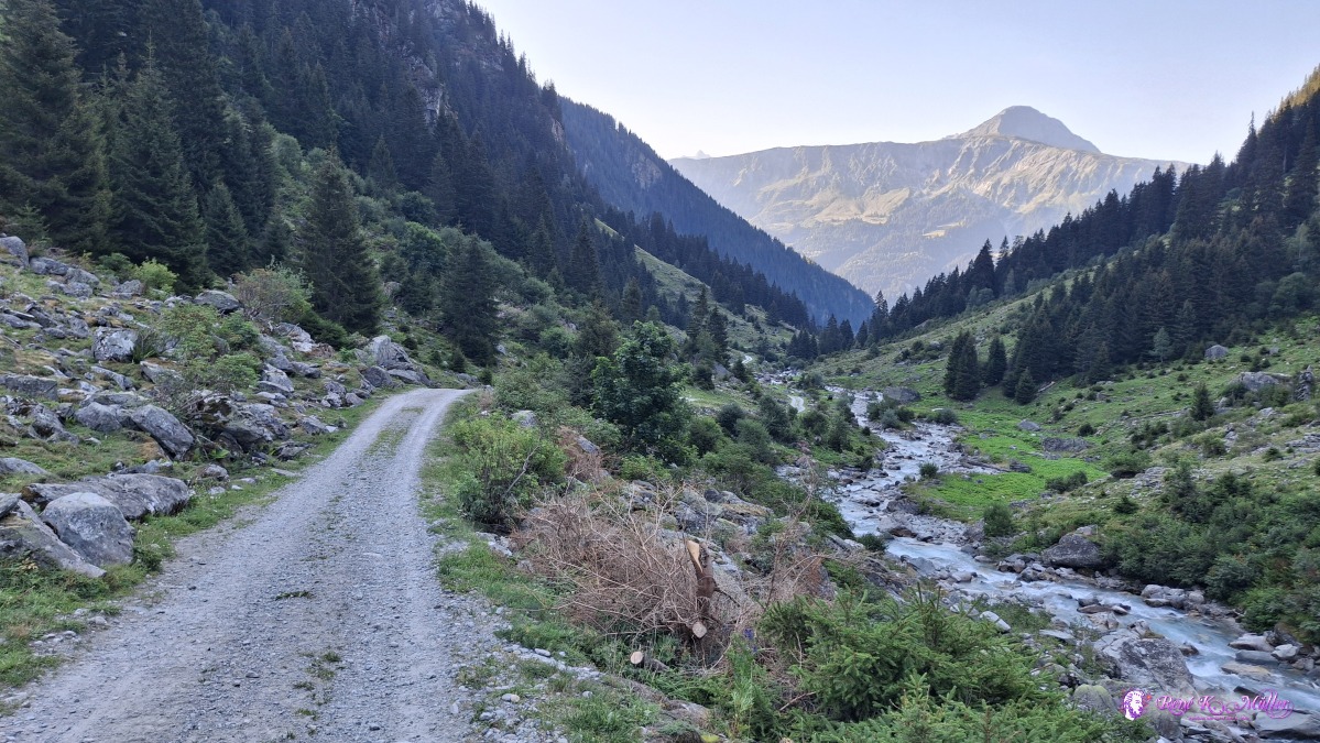 ◈ Pardomat Dado, Cumpadials (Δ 1535m), 2026/08/15 08:06 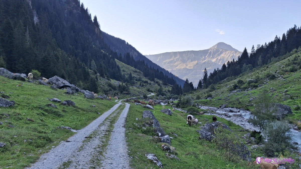 ◈ Pardomat Dado, Cumpadials (Δ 1488m), 2026/08/15 08:10 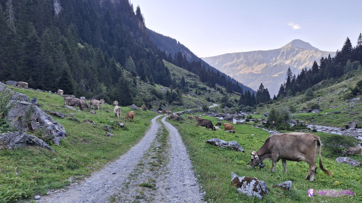 ◈ Pardomat Dado, Cumpadials (Δ 1519m), 2026/08/15 08:10 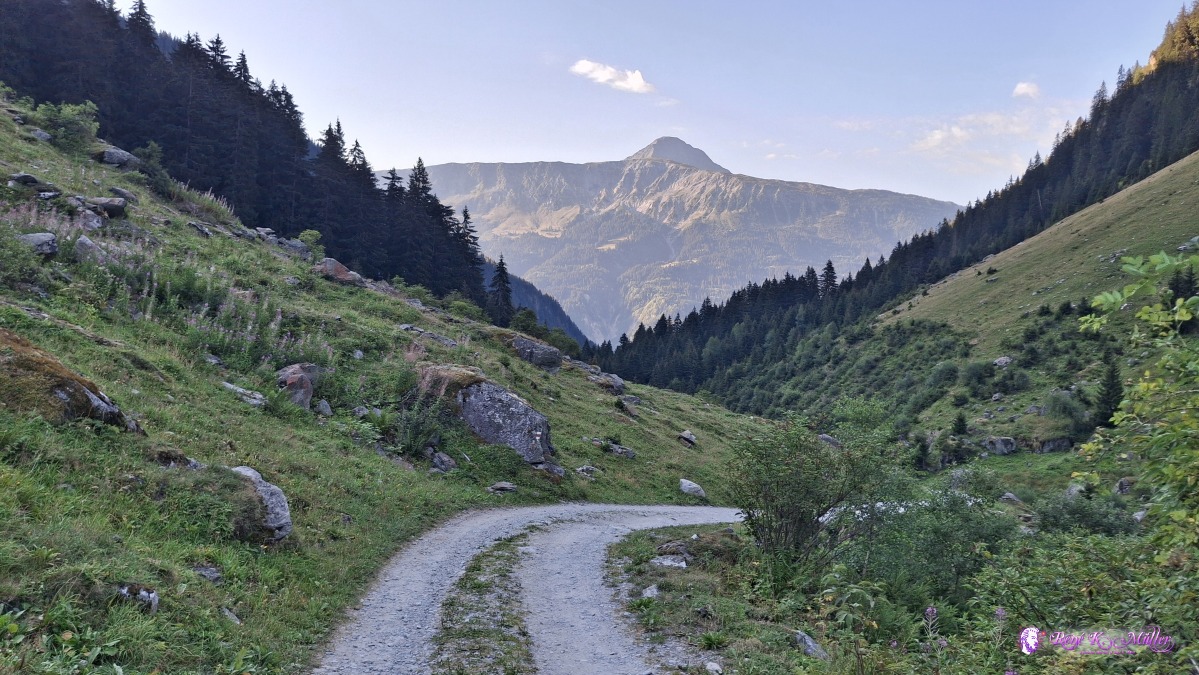 ◈ Pardomat Dado, Cumpadials (Δ 1476m), 2026/08/15 08:16 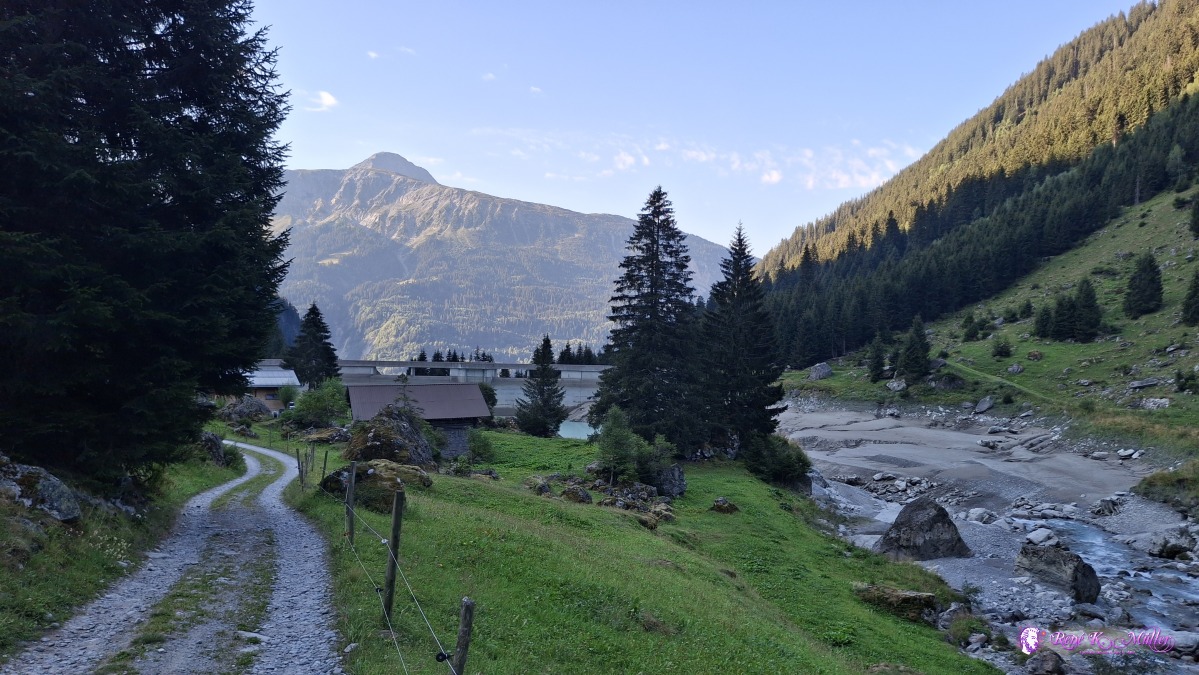 ◈ Pardomat Dado, Cumpadials (Δ 1457m), 2026/08/15 08:23 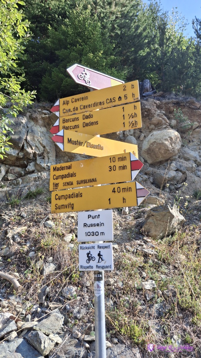 ◈ Pardomat Dado, Cumpadials (Δ 1095m), 2026/08/15 09:12 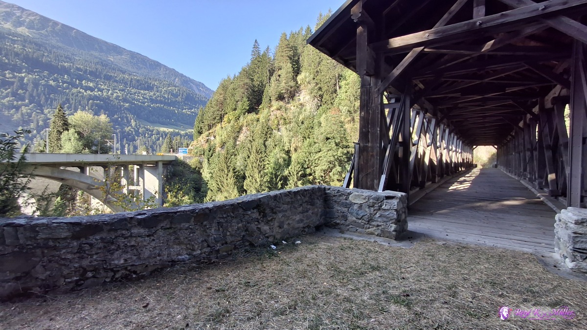 ◈ Pardomat, Sumvitg (Δ 1092m), 2026/08/15 09:16 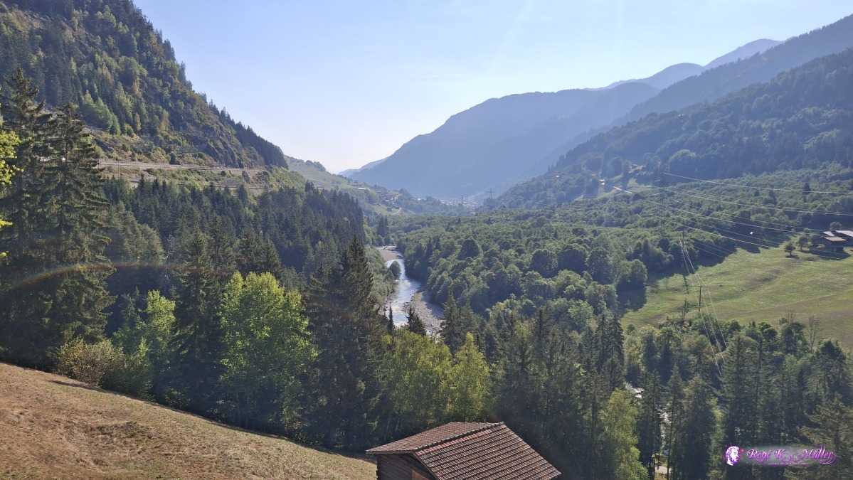 ◈ Pardomat, Disentis/Mustér (Δ 1082m), 2026/08/15 09:22 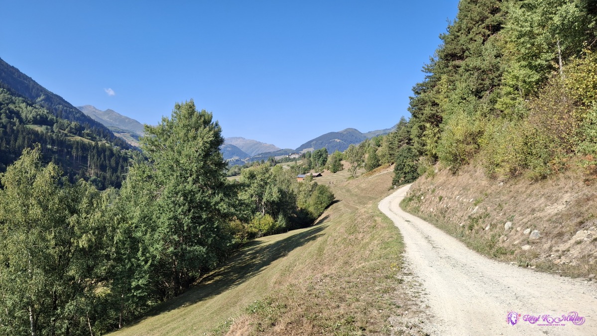 ◈ Disla, Disentis/Mustér (Δ 1070m), 2026/08/15 09:39 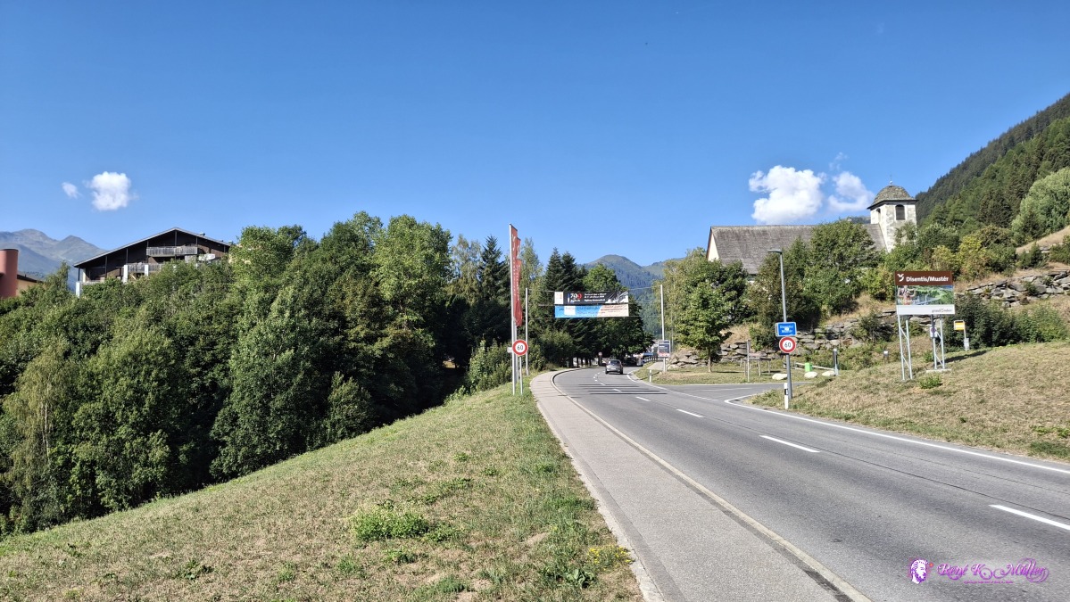 ◈ Faltscharidas, Disentis/Mustér (Δ 1188m), 2026/08/15 10:06 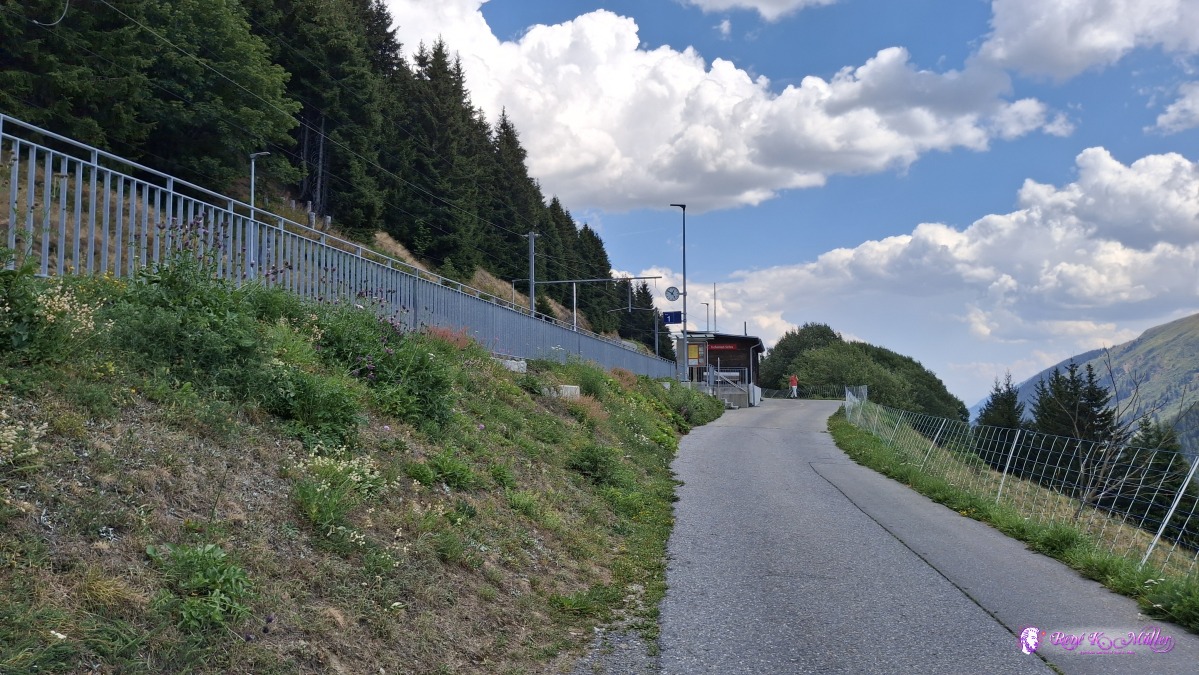 ◈ Tschamut, Tujetsch (Δ 1732m), 2026/08/15 12:51 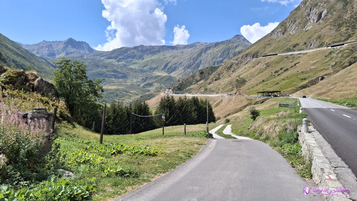 ◈ Tschamut, Tujetsch (Δ 1702m), 2026/08/15 12:59 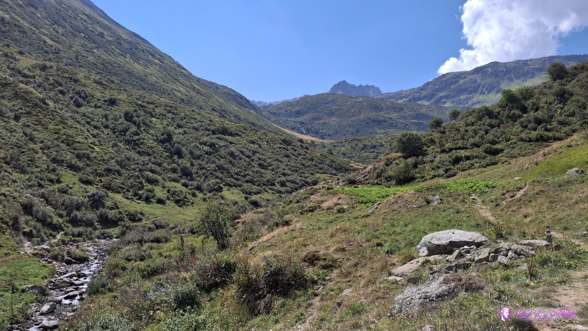 ◈ Tschamut, Tujetsch (Δ 1715m), 2026/08/15 13:17 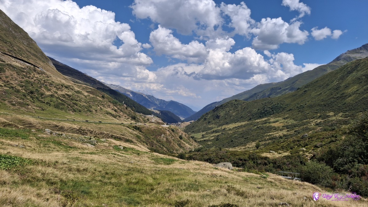 ◈ Tujetsch (Δ 1839m), 2026/08/15 13:49 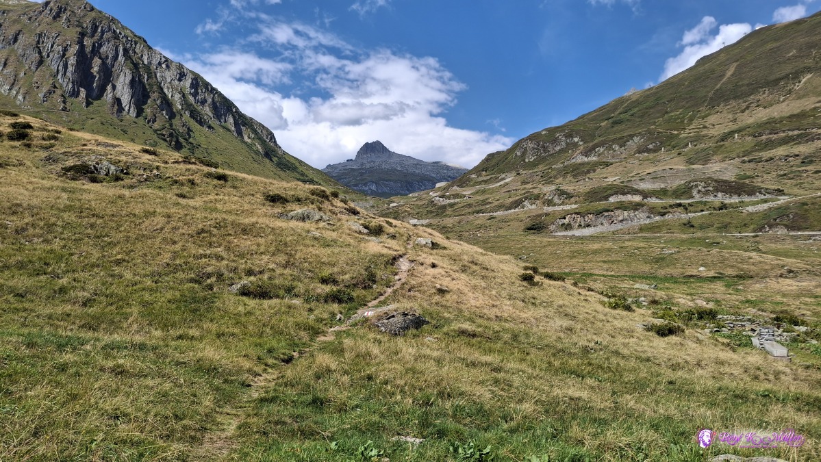 ◈ Tujetsch (Δ 1839m), 2026/08/15 13:49 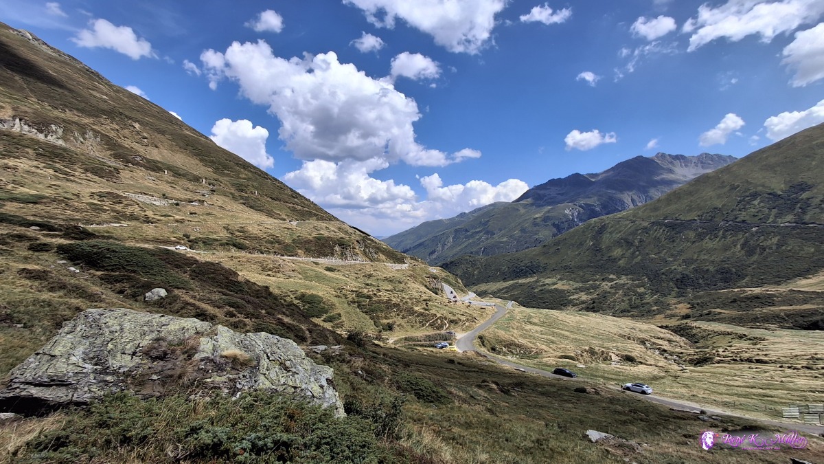 ◈ Tujetsch (Δ 1912m), 2026/08/15 14:06 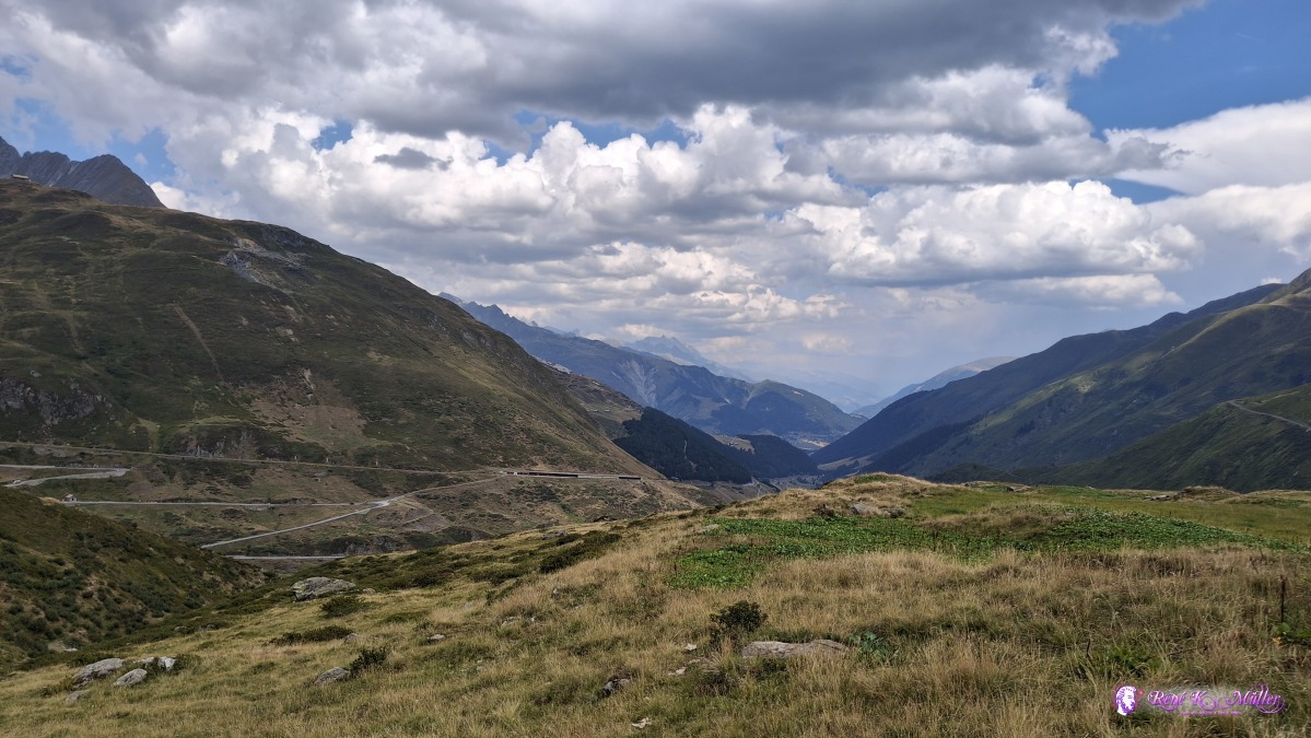 ◈ Tujetsch (Δ 2070m), 2026/08/15 14:51 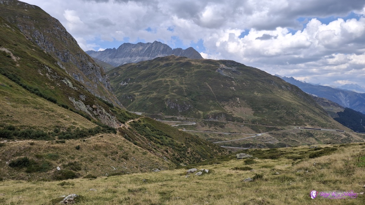 ◈ Tujetsch (Δ 2067m), 2026/08/15 14:51 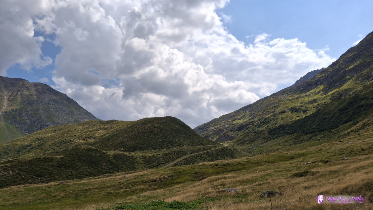 ◈ Tujetsch (Δ 2067m), 2026/08/15 14:52 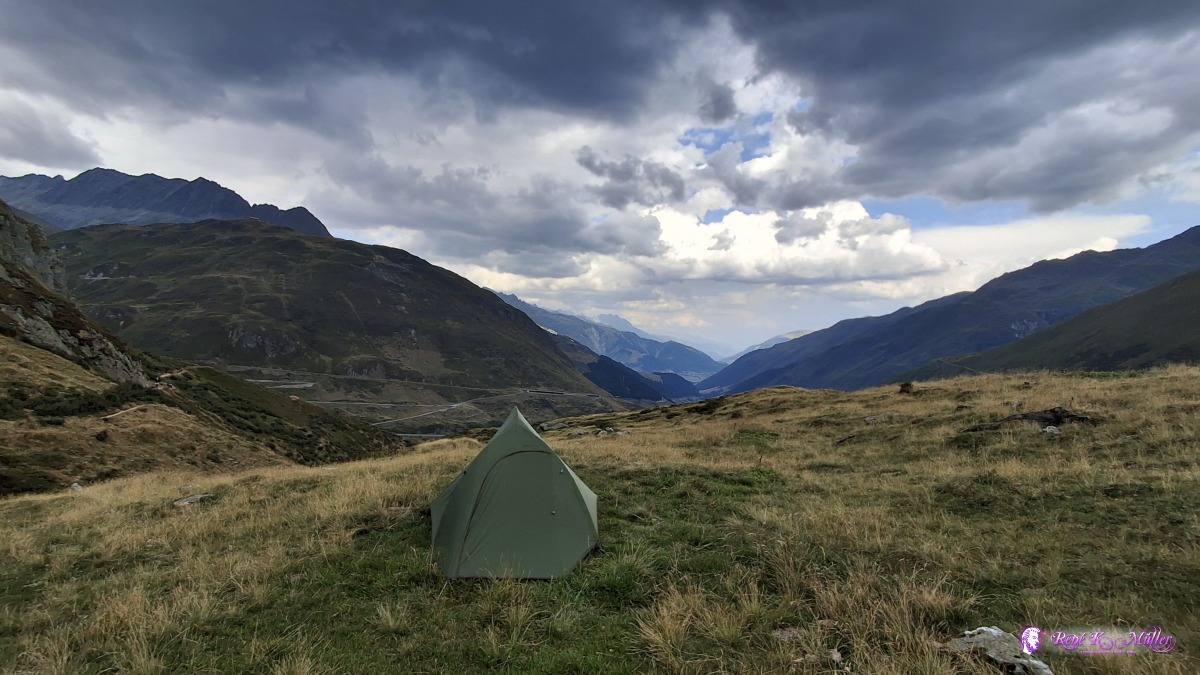 ◈ Tujetsch (Δ 2065m), 2026/08/15 15:24 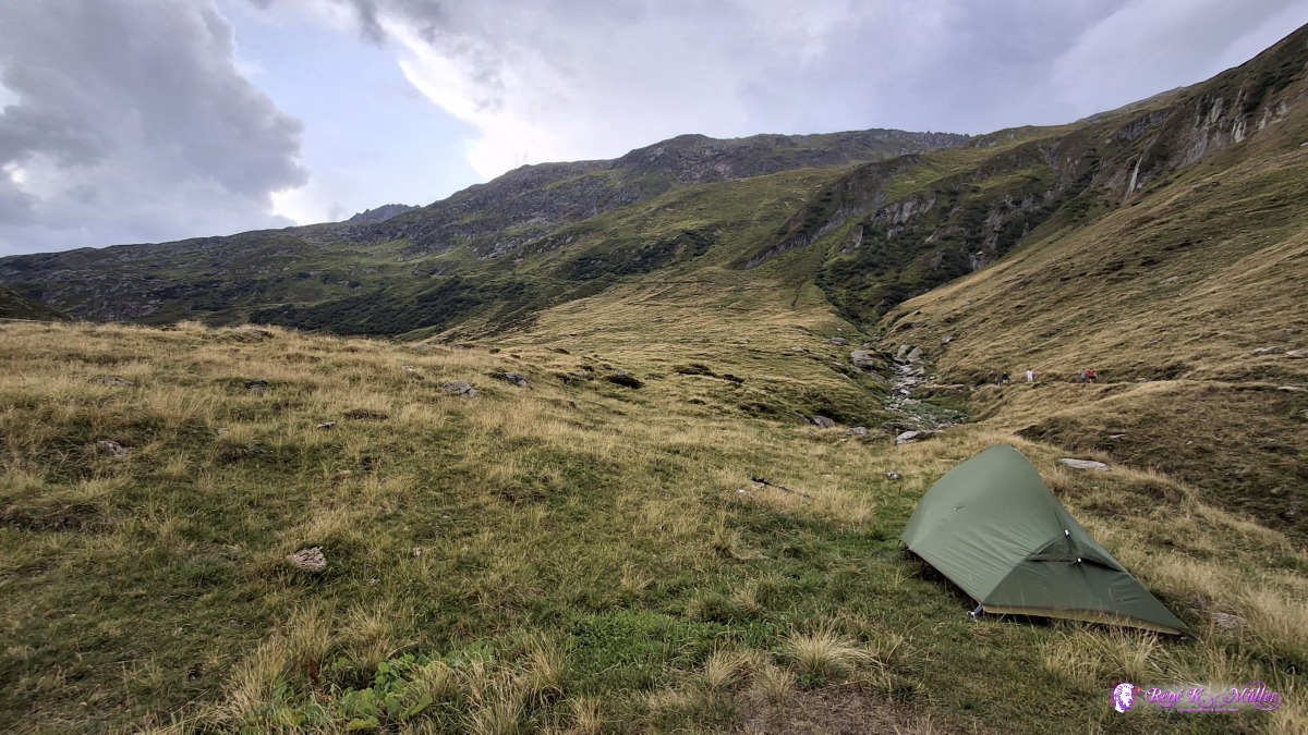 ◈ Tujetsch (Δ 2065m), 2026/08/15 15:24 Sunday 2026/08/16: Trutg - Oberalppass - AndermattModerate good sleep - 6:00 dawn - some clouds in the far distance hide the direct sunlight. Leaving 7:00 - warm winds comes from the lower part of the valley, descending 200m first and then ascending torward Oberalppass at 2040m - clear sky again, the sun warming up land and wind - around the lake Oberalpsee, and along Vorder Seeplang, along the mountain slope, and then descending into Andermatt, and taking train 11:30 back home.
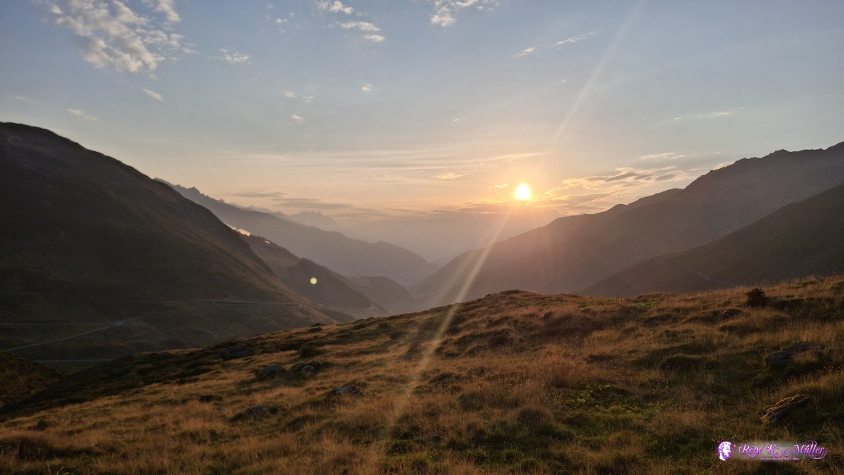 ◈ Tujetsch (Δ 2071m), 2026/08/16 06:56 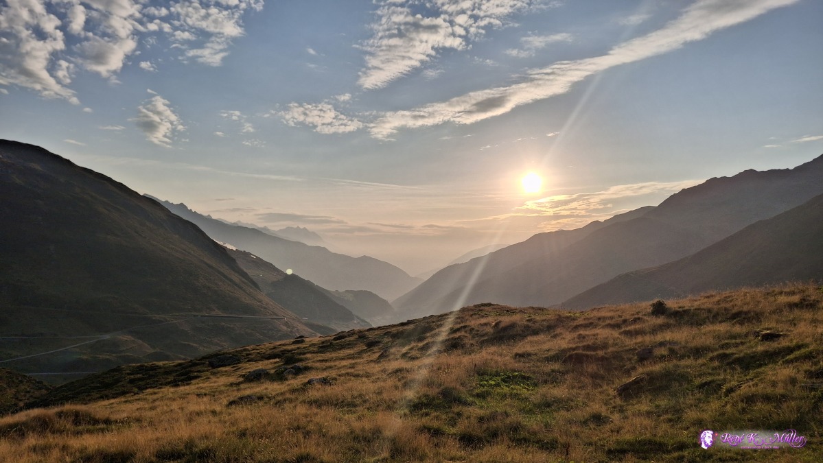 ◈ Tujetsch (Δ 2067m), 2026/08/16 07:11 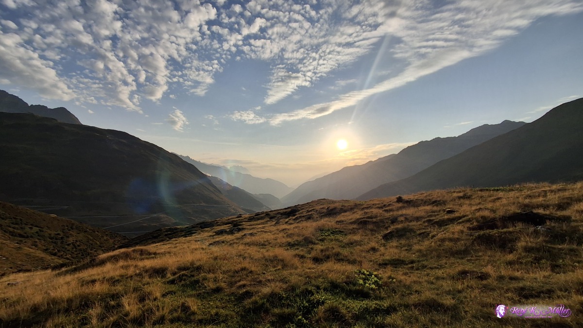 ◈ Tujetsch (Δ 2067m), 2026/08/16 07:11 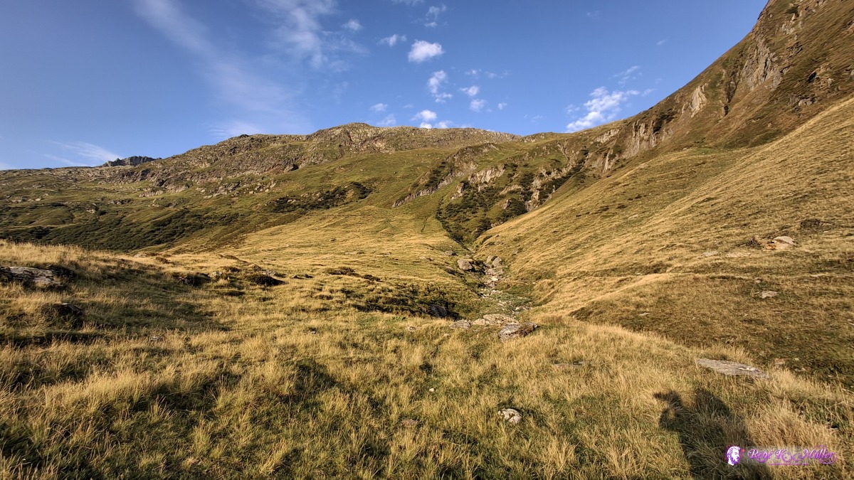 ◈ Tujetsch (Δ 2067m), 2026/08/16 07:11 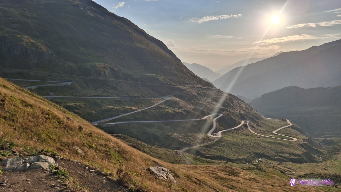 2026/08/16 07:24 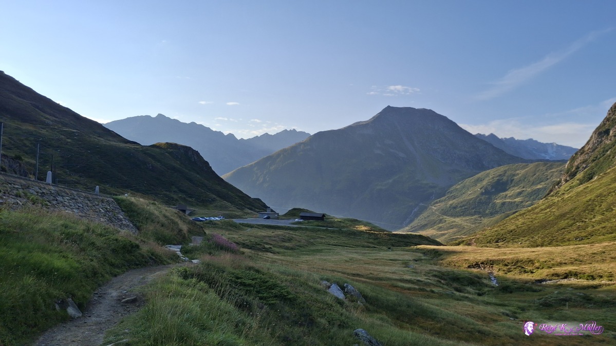 2026/08/16 08:03 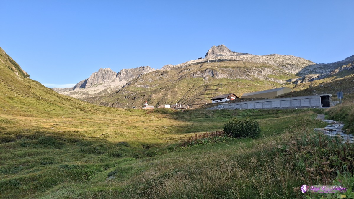 ◈ Tujetsch (Δ 2078m), 2026/08/16 08:05 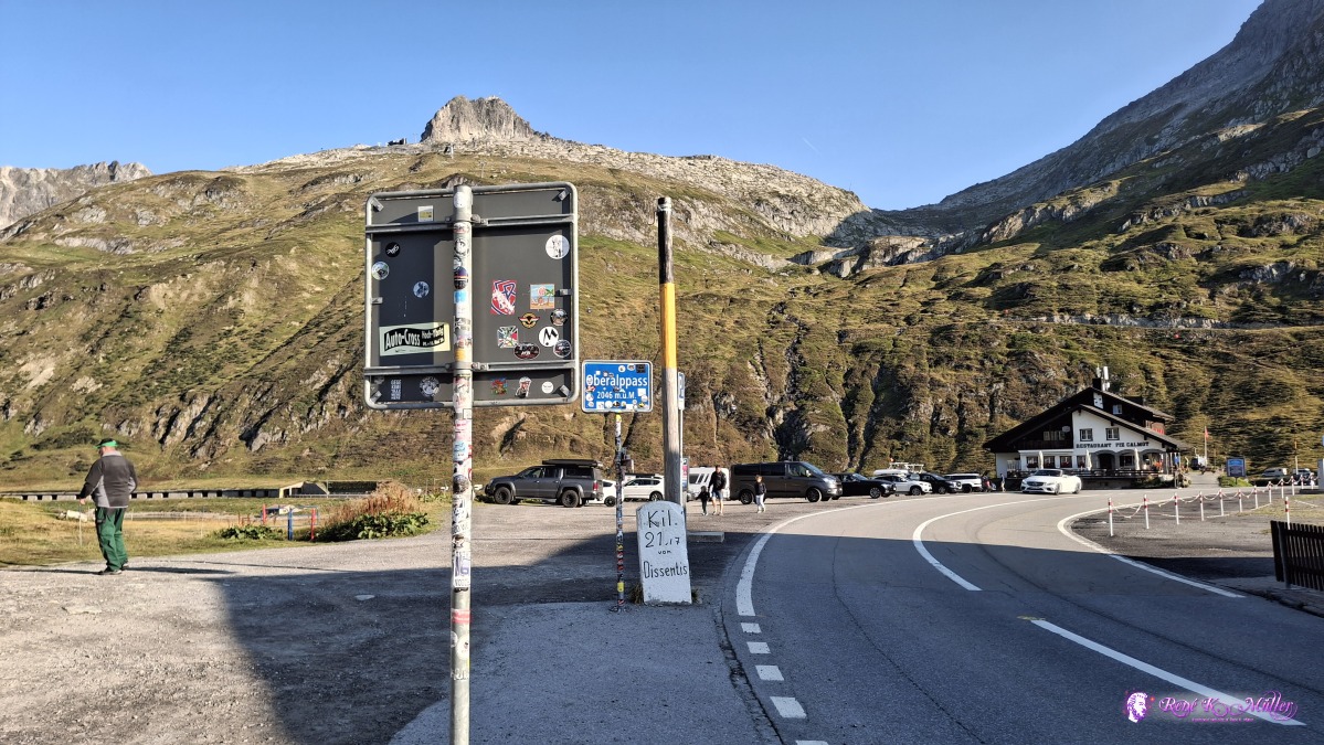 ◈ Tujetsch (Δ 2099m), 2026/08/16 08:09 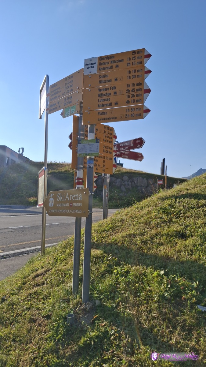 ◈ Andermatt (Δ 2100m), 2026/08/16 08:13 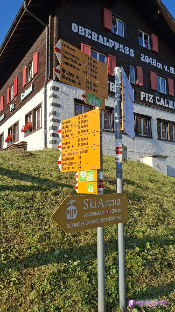 ◈ Andermatt (Δ 2100m), 2026/08/16 08:13 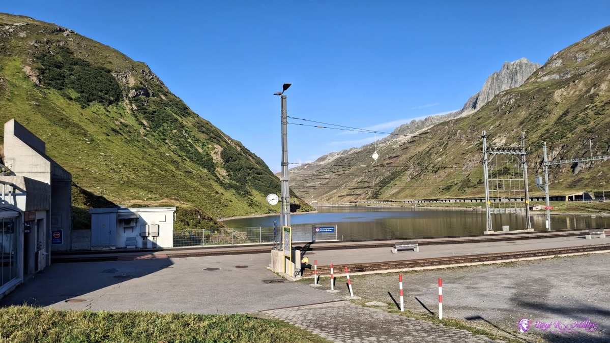 ◈ Andermatt (Δ 2100m), 2026/08/16 08:14 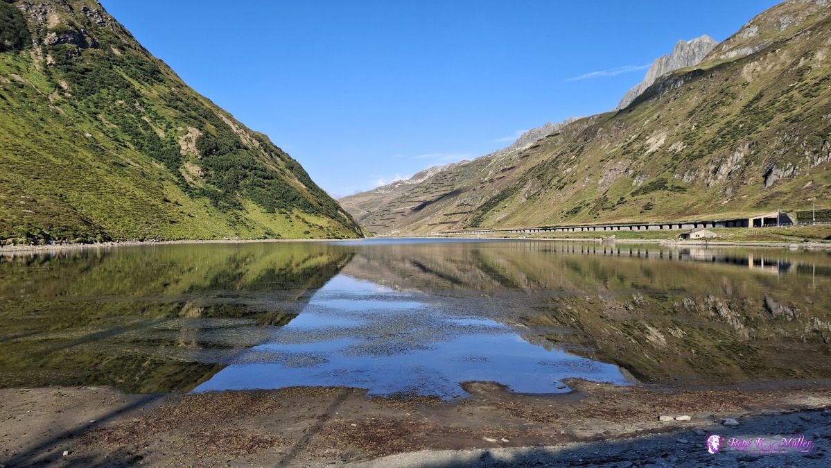 ◈ Andermatt (Δ 2069m), 2026/08/16 08:25 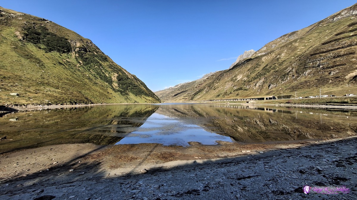 ◈ Andermatt (Δ 2069m), 2026/08/16 08:25 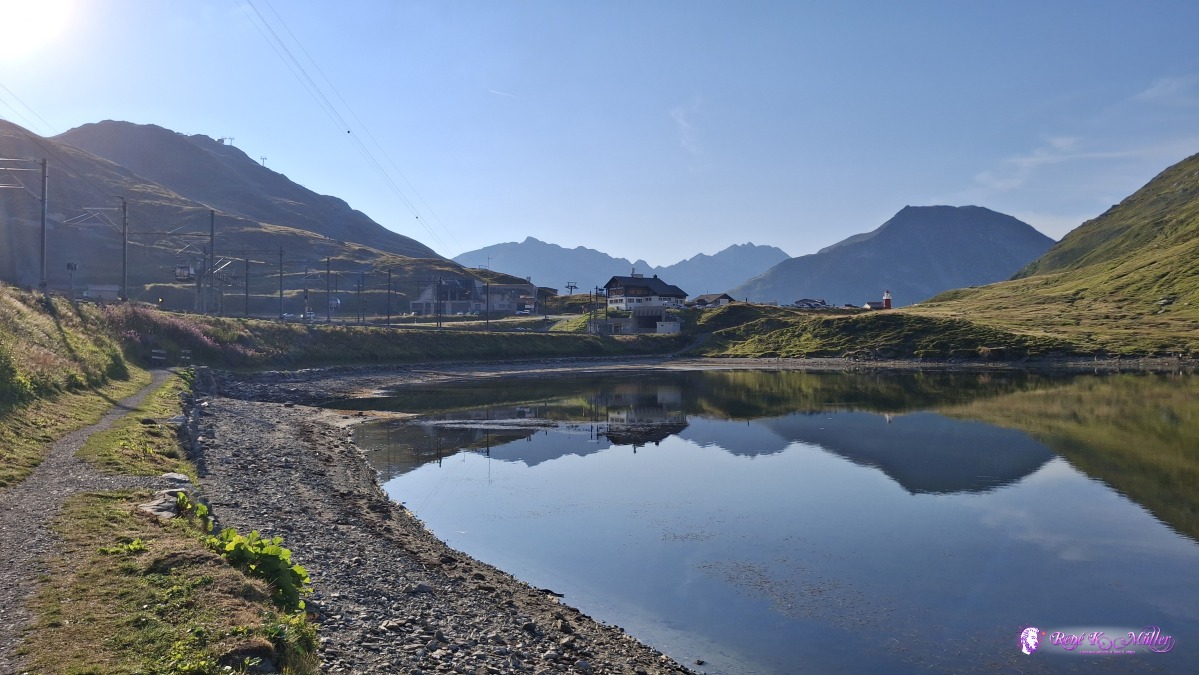 ◈ Andermatt (Δ 2079m), 2026/08/16 08:28 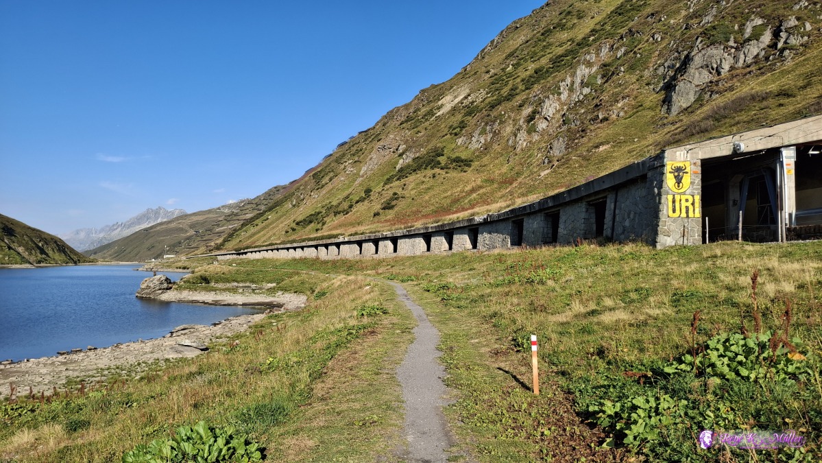 ◈ Andermatt (Δ 2087m), 2026/08/16 08:30 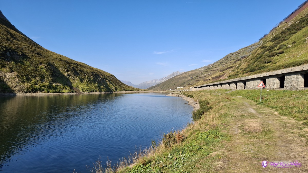 ◈ Andermatt (Δ 2082m), 2026/08/16 08:36 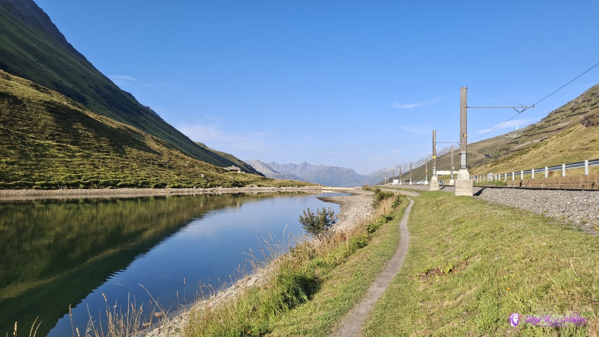 ◈ Andermatt (Δ 2083m), 2026/08/16 08:40 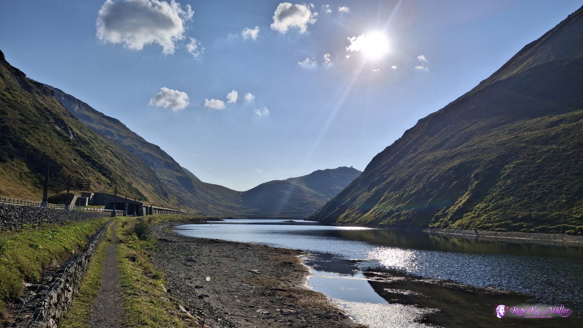 ◈ Andermatt (Δ 2079m), 2026/08/16 08:43 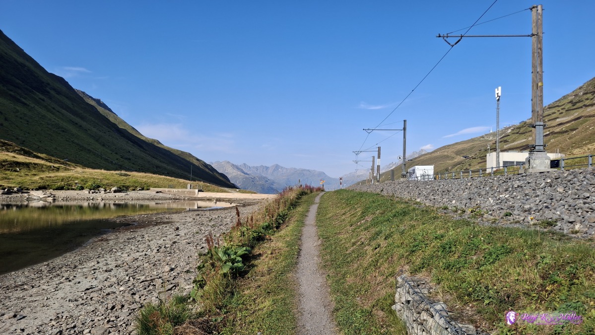 ◈ Andermatt (Δ 2082m), 2026/08/16 08:43 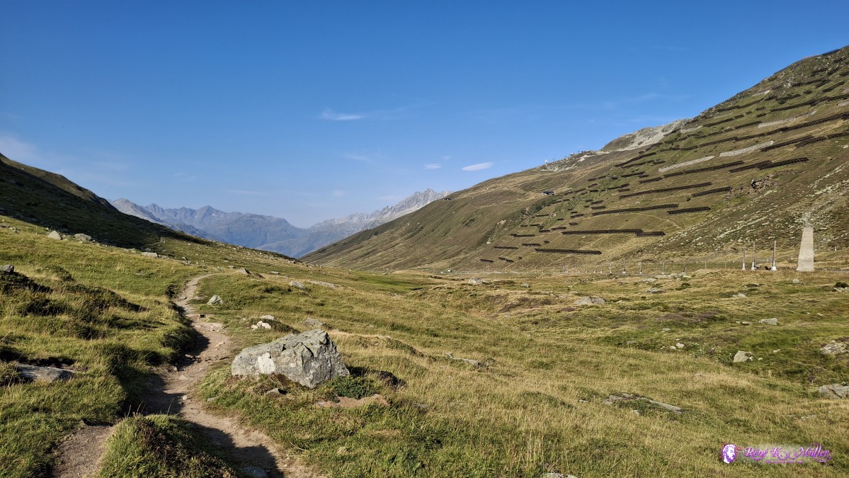 ◈ Andermatt (Δ 2063m), 2026/08/16 08:47 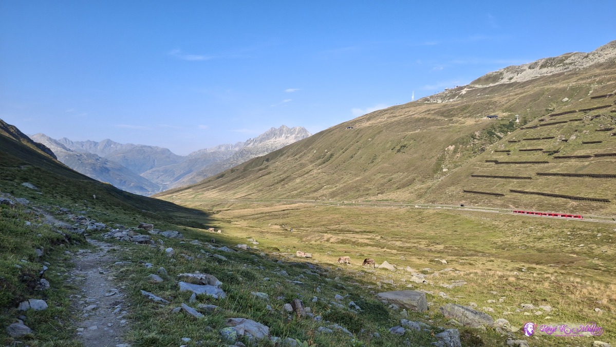 ◈ Andermatt (Δ 2068m), 2026/08/16 08:55 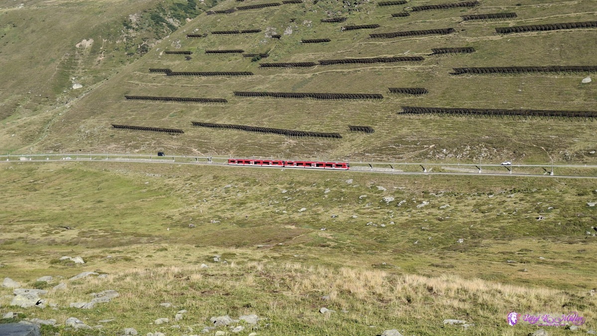 ◈ Andermatt (Δ 2079m), 2026/08/16 08:55 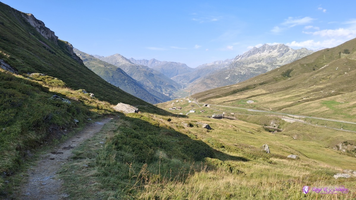 ◈ Andermatt (Δ 2011m), 2026/08/16 09:14 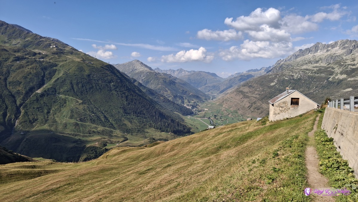 ◈ Andermatt (Δ 1896m), 2026/08/16 09:48 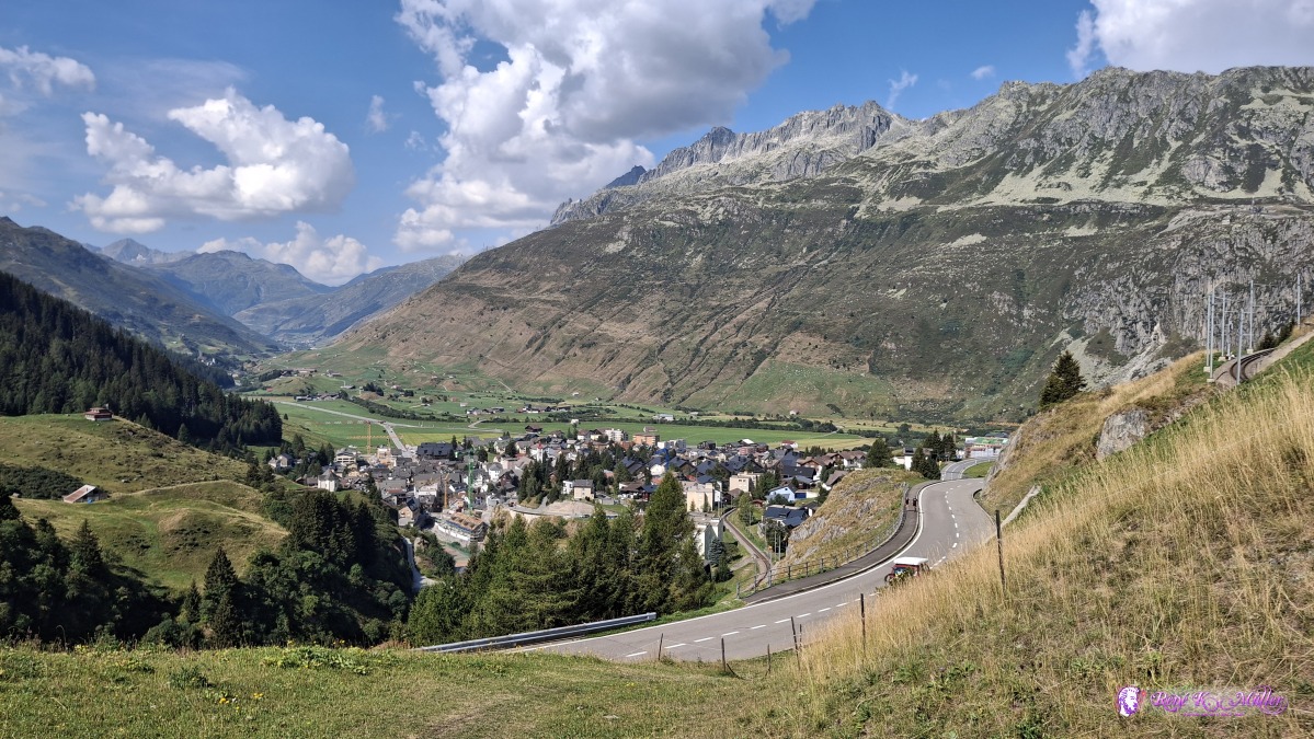 2026/08/16 10:53 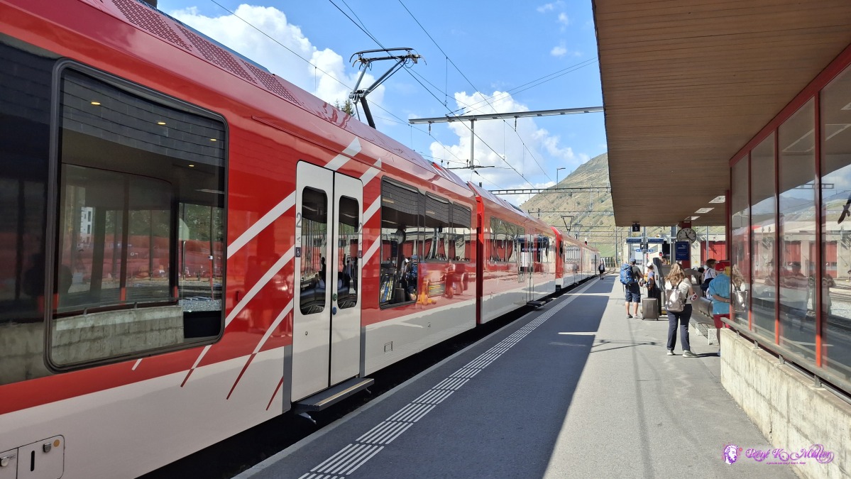 ◈ Andermatt (Δ 1491m), 2026/08/16 11:22 ReflectionA shorter 4 day hike, Pass Cavardiras was impressive, with its glacier Brunnifirn - I planned this hike for 2-3 years, but had to postpone it until this time, as there was often too much snow around the glacier and the top of the pass, which would have been too difficult for me hike - this year it was clear and relatively easy to hike. It's not an easy hike as some passages are very steep, where you have to pull yourself with your arms up, and with a heavy backpack isn't easy - but the sight and view was worth the challenges.
Content:
|