This is an interactive (zoomable) map of the hike - click on logo right upper corner to get elevation map
I decided to walk a single day from Lenzburg - a place I once lived - and hike toward lake of Zug and see how far I get in 7-8 hrs, with a lightweight backpack with some snacks and 1.5L water bottle.
From the Lenzburg (397m) train station (9:00) then along the Aabach upstream, at Egliswil into the forest, Eichberg, Sarmenstorf, and up into the forest above Schongau along the ridge, Lindenberg (854m), Horben (818m) and then descend Auw and Sins (17:35) at 410m: 8h 30m hike, apprx. 30km.
Along the hike, sufficient public water fountains to refill the water bottle, and walking half of the time in the forest was very nice.
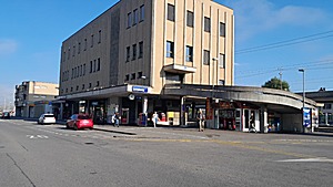
2022/09/04 09:02
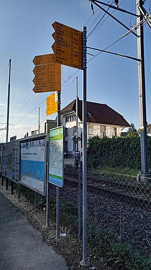
2022/09/04 09:03
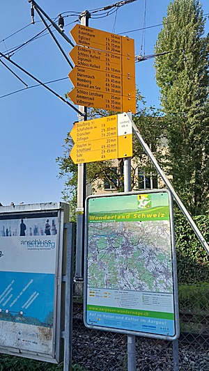
2022/09/04 09:03
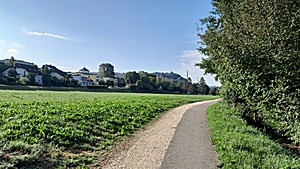
2022/09/04 09:18
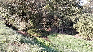
2022/09/04 09:18
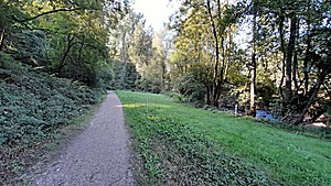
2022/09/04 09:31
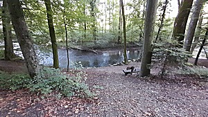
Aabach near Lenzburg
2022/09/04 09:34
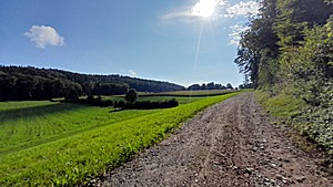
◈ Seengen, 2022/09/04 10:38
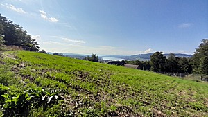
◈ Seengen, 2022/09/04 10:43
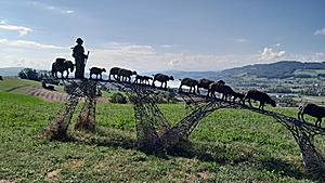
◈ Seengen, 2022/09/04 10:47
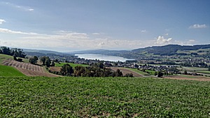
◈ Seengen, 2022/09/04 10:48
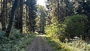
◈ Seengen, 2022/09/04 11:10
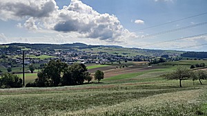
2022/09/04 11:49
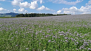
◈ Sarmenstorf, 2022/09/04 11:53
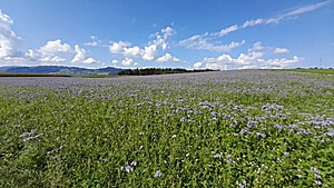
◈ Sarmenstorf, 2022/09/04 11:53
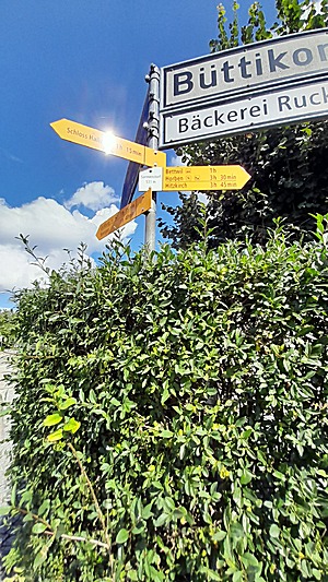
◈ Sarmenstorf, Sarmenstorf, 2022/09/04 12:13
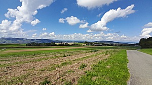
◈ Bettwil, 2022/09/04 12:53
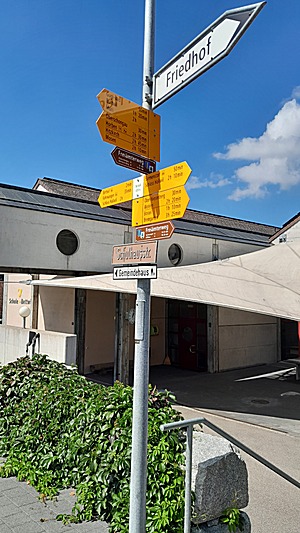
◈ Bettwil, 2022/09/04 13:02
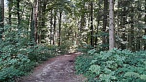
◈ Brandholz, Bettwil, 2022/09/04 13:35
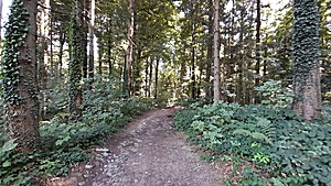
◈ Brandholz, Bettwil, 2022/09/04 13:35
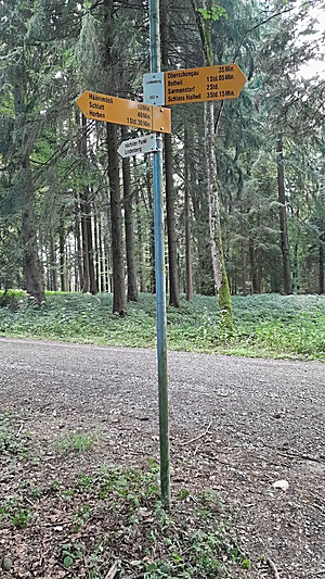
◈ Lindenberg, Unterkirchholz, Schongau, 2022/09/04 14:13
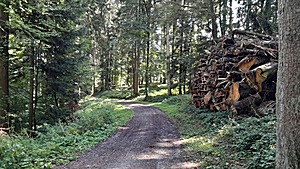
◈ Oberkirchholz, Schongau, 2022/09/04 14:19
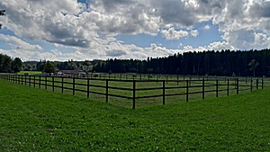
◈ Hitzkirch, 2022/09/04 14:41
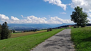
View into Zugerland with Rigi mountain in the background
◈ Geltwil, 2022/09/04 14:52
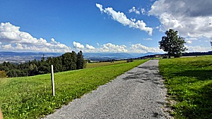
◈ Geltwil, 2022/09/04 14:52
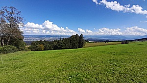
◈ Geltwil, 2022/09/04 14:52

◈ Geltwil, 2022/09/04 14:56

◈ Geltwil, 2022/09/04 14:57
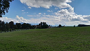
◈ Horben, Beinwil, 2022/09/04 15:20
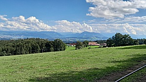
◈ Horben, Beinwil, 2022/09/04 15:40
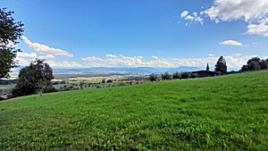
◈ Beinwil, 2022/09/04 16:02
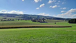
View back to Horben ridge
◈ Auw, 2022/09/04 17:05
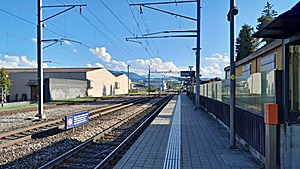
◈ Sins, 2022/09/04 17:36
That's it.


