"Our greatest fear is not that we are inadequate, but that we are powerful beyond measure."Marianne Williamson
from her book "A Return To Love"
|
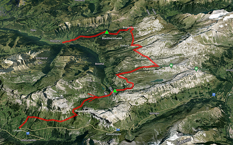
 3 Days Hike: Urigen - Glattalp - Boedmeren - Muotathal |
This is an interactive (zoomable) map of the hike - click on logo right upper corner to get elevation map
After 1-2 weeks high temperatures in Switzerland, over 30°C - which is quite unusual (climate change) - it seemed an opportunity to explore higher regions of the alps a bit earlier.
I wanted to revisit Klausenpass (1947m) again, and try to stay between 1500 - 2000m elevation without much descending, and the planned route almost was able to stay within this range.
I arrived at Urigen with Postauto (1281m) and hiking steep uphill to 1730m until Heidmanegg, and then uphill slightly toward Ruosalper Chulm (2177m), the clouds get denser, the blue sky and the sun covered up - temperature drops and winds increase.
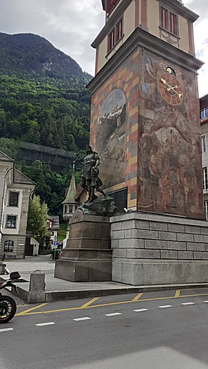 Telldenkmal, Altdorf
2022/05/26 09:40 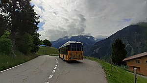 Urigen Busstop/Endstation
◈ Unterschächen, 2022/05/26 10:23 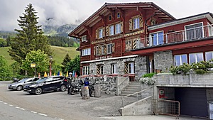 Hotel Posthaus Urigen
◈ Unterschächen, 2022/05/26 10:23 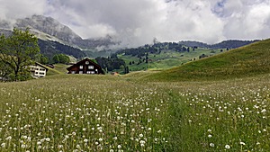 Official hiking trail leads over blooming meadow (unusual)
◈ Unterschächen, 2022/05/26 10:26 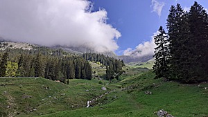 ◈ Spiringen, 2022/05/26 10:47 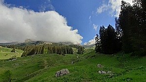 ◈ Spiringen, 2022/05/26 10:47 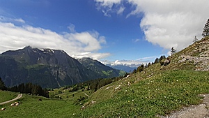 ◈ Unterschächen (Δ 1649m), 2022/05/26 11:01 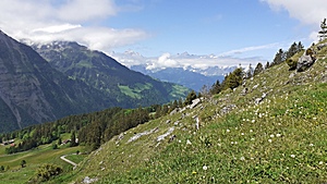 ◈ Unterschächen (Δ 1658m), 2022/05/26 11:01 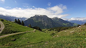 ◈ Unterschächen, 2022/05/26 11:01 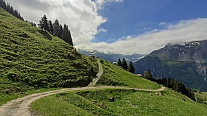 ◈ Unterschächen, 2022/05/26 11:01 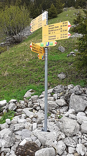 ◈ Hegerwald, Unterschächen, 2022/05/26 11:21 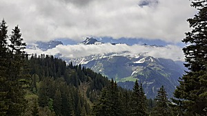 ◈ Unterschächen, 2022/05/26 11:34 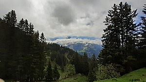 ◈ Unterschächen, 2022/05/26 11:34 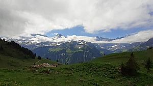 ◈ Mettenen, Unterschächen, 2022/05/26 11:46 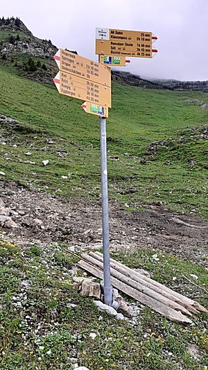 ◈ Mettenen, Unterschächen, 2022/05/26 11:51 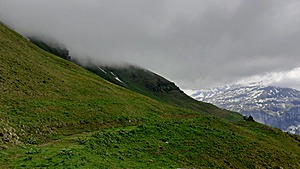 ◈ Alt Stafel, Unterschächen, 2022/05/26 12:07 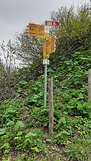 ◈ Alt Stafel, Unterschächen, 2022/05/26 12:13 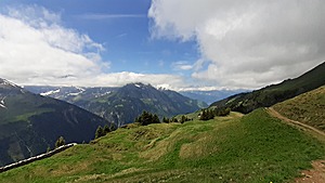 ◈ Alp Aesch, Unterschächen, 2022/05/26 12:25 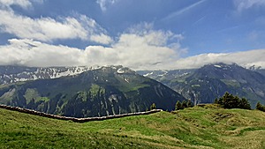 ◈ Alp Aesch, Unterschächen, 2022/05/26 12:26 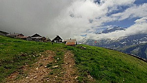 ◈ Alp Aesch, Unterschächen, 2022/05/26 12:26 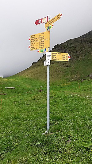 ◈ Alp Aesch, Unterschächen, 2022/05/26 12:28 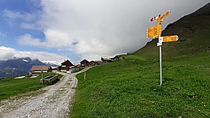 ◈ Alp Aesch, Unterschächen, 2022/05/26 12:28 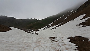 Ruosalp Chulm (southern slope, view up)
◈ Unterschächen (Δ 2164m), 2022/05/26 13:33 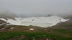 Ruosalpersee (snow/frozen, view down)
◈ Unterschächen, 2022/05/26 13:42 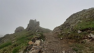 Reaching Ruosalp Chulm (view up)
◈ Unterschächen, 2022/05/26 13:43
On the northern slope - entering the Bisithal with Muota river thereby - a wide and 200-300m long snow belt, down to ~2000m elevation, then very wet meadow until ~1800m elevation when green meadow starts - Ober Stafel and Unter Stafel and toward Vorderrist Nissegg, Laecki,
where I find a place to pitch the tent.
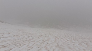 Ruosalp Chulm (northern slope, view down)
◈ Unterschächen (Δ 2224m), 2022/05/26 13:46 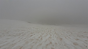 Ruosalp Chulm (northern slope, view down)
◈ Unterschächen (Δ 2213m), 2022/05/26 13:46 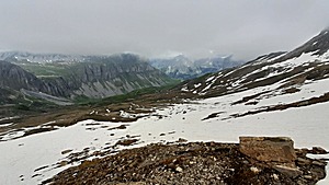 ◈ Unterschächen, 2022/05/26 13:57 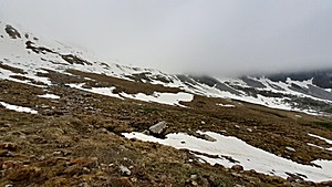 ◈ Unterschächen, 2022/05/26 14:26 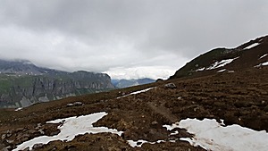 ◈ Unterschächen, 2022/05/26 14:26 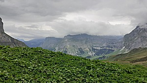 ◈ Unter Stafel, Unterschächen, 2022/05/26 14:54 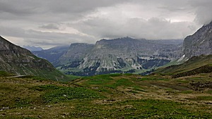 ◈ Unter Stafel, Unterschächen, 2022/05/26 14:56 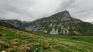 ◈ Unterschächen, 2022/05/26 15:18 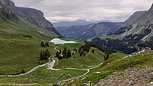 ◈ Unterschächen, 2022/05/26 15:48 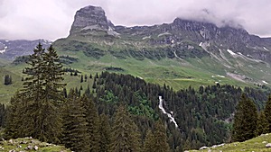 ◈ Muotathal, 2022/05/26 16:38 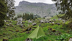 Milchbüelen, apprx. 500Hm below Glattalp
◈ Muotathal, 2022/05/26 17:11 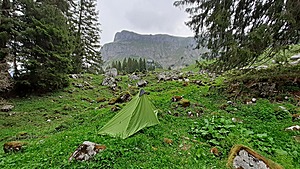 ◈ Muotathal, 2022/05/26 17:11
8:00 awake after a good sleep, the sun comes through, still some high fog based clouds hovering around.
~9:00 I leave, steep uphill toward Glattalp where I arrive around 10:20. I choose to walk around the Pfaff mountain to reduce the change of wide snow patches,
but as I arrive at Milchblaetz and Riefboeden, it's full of snow patches and it slows me down, but the scenery is absolutely stunning.
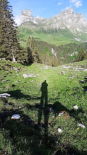 ◈ Muotathal, 2022/05/27 09:06 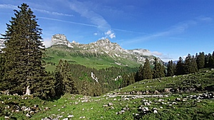 Alpler Stock, Sangigrat, Geisstock
◈ Muotathal (Δ 1436m), 2022/05/27 09:06 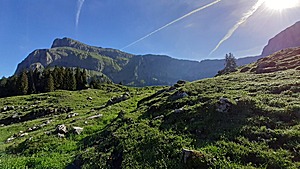 ◈ Muotathal, 2022/05/27 09:06 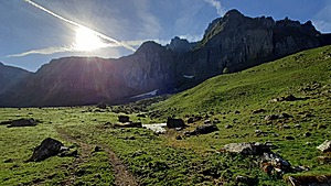 ◈ Vorfrutt, Spiringen, 2022/05/27 09:10 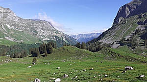 ◈ Läcki, Vorfrutt, Spiringen (Δ 1512m), 2022/05/27 09:13 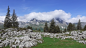 ◈ Glattalp, Urnerboden (Δ 1724m), 2022/05/27 09:45 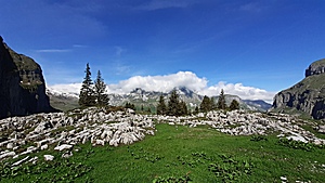 ◈ Glattalp, Urnerboden (Δ 1721m), 2022/05/27 09:45 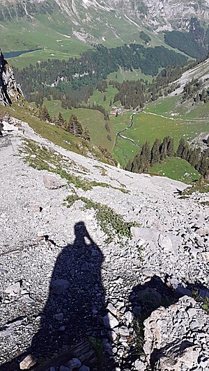 ◈ Muotathal, 2022/05/27 09:53 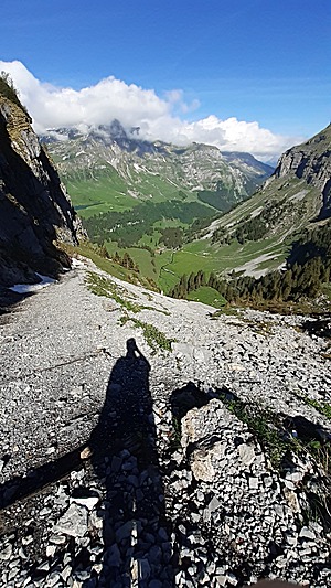 ◈ Muotathal, 2022/05/27 09:53 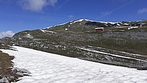 ◈ Urnerboden, 2022/05/27 10:18 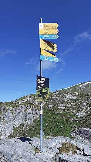 ◈ Glattalp, Urnerboden (Δ 1923m), 2022/05/27 10:24 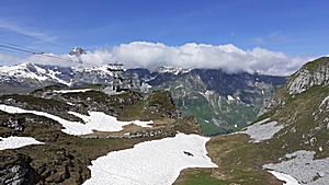 ◈ Glattalp, Urnerboden, 2022/05/27 10:25 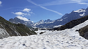 ◈ Glattalp, Urnerboden (Δ 1917m), 2022/05/27 10:25 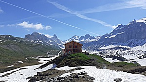 ◈ Glattalp, Urnerboden, 2022/05/27 10:30 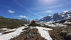 ◈ Glattalp, Urnerboden, 2022/05/27 10:30 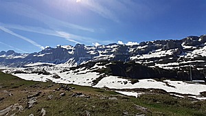 ◈ Glattalphütte SAC, Urnerboden, 2022/05/27 10:31 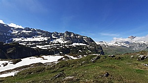 ◈ Glattalphütte SAC, Urnerboden, 2022/05/27 10:31 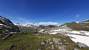 ◈ Glattalphütte SAC, Urnerboden (Δ 1957m), 2022/05/27 10:31 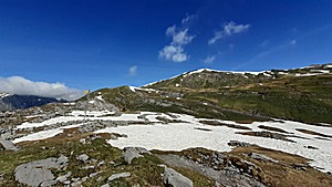 ◈ Glattalphütte SAC, Urnerboden, 2022/05/27 10:31 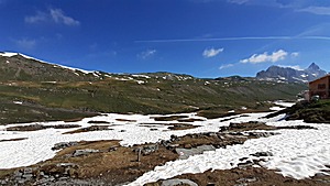 ◈ Glattalphütte SAC, Urnerboden, 2022/05/27 10:31 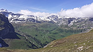 ◈ Glattalphütte, Urnerboden, 2022/05/27 10:52 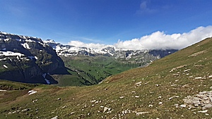 ◈ Glattalphütte, Urnerboden (Δ 2035m), 2022/05/27 10:53  ◈ Mälchberg, Muotathal, 2022/05/27 10:59 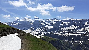 ◈ Mälchberg, Muotathal, 2022/05/27 10:59 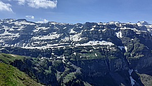 ◈ Mälchberg, Muotathal, 2022/05/27 10:59 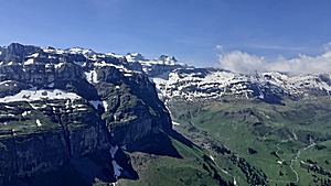 ◈ Mälchberg, Muotathal, 2022/05/27 10:59 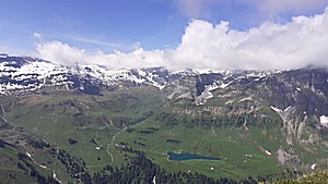 ◈ Mälchberg, Muotathal, 2022/05/27 10:59 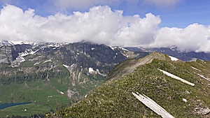 ◈ Mälchberg, Muotathal (Δ 2062m), 2022/05/27 10:59 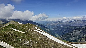 ◈ Mälchberg, Muotathal, 2022/05/27 10:59 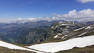 ◈ Mälchberg, Muotathal, 2022/05/27 10:59 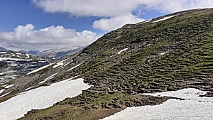 ◈ Mälchberg, Muotathal, 2022/05/27 11:00 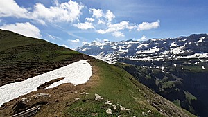 ◈ Mälchberg, Muotathal, 2022/05/27 11:00 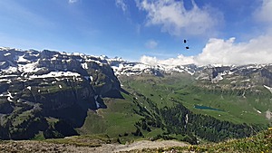 ◈ Mälchberg, Muotathal, 2022/05/27 11:00 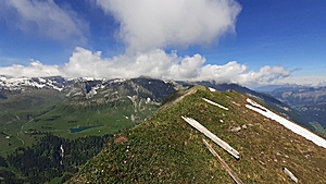 ◈ Mälchberg, Muotathal (Δ 2055m), 2022/05/27 11:00 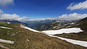 ◈ Mälchberg, Muotathal (Δ 2064m), 2022/05/27 11:00 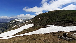 ◈ Mälchberg, Muotathal, 2022/05/27 11:00 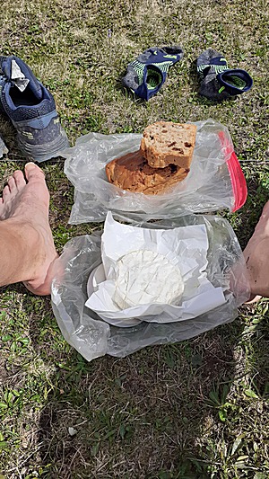 Bread/Cake hybrid with nuts, dried berries, carotts, ginger, cinnemon together with Brie cheese
◈ Mälchberg, Muotathal, 2022/05/27 11:04 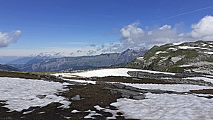 ◈ Mälchberg, Muotathal (Δ 1965m), 2022/05/27 11:49 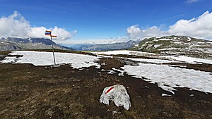 ◈ Mälchberg, Muotathal, 2022/05/27 11:49 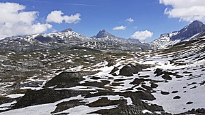 ◈ Mälchberg, Muotathal, 2022/05/27 11:52 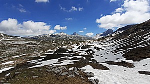 ◈ Mälchberg, Muotathal, 2022/05/27 11:52 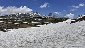 ◈ Mälchberg, Muotathal, 2022/05/27 12:01 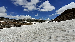 ◈ Mälchberg, Muotathal, 2022/05/27 12:02 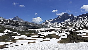 ◈ Robutzli, Muotathal, 2022/05/27 12:15 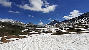 ◈ Robutzli, Muotathal, 2022/05/27 12:15
Close to Charetalphuettli (1860m) I hike Inneren Streipfen, and reach Robutzli, further to Geitenberg.
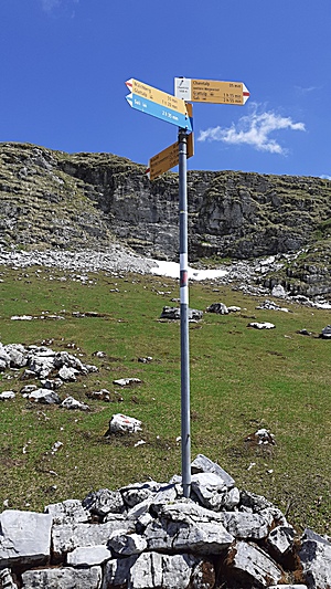 ◈ Charetalp, Urnerboden (Δ 1894m), 2022/05/27 12:36 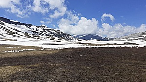 ◈ Charetalp, Urnerboden, 2022/05/27 12:36 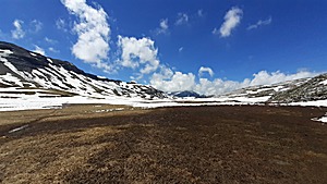 ◈ Charetalp, Urnerboden, 2022/05/27 12:36 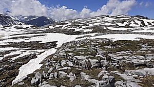 ◈ Charetalp, Urnerboden, 2022/05/27 12:41 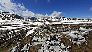 ◈ Charetalp, Urnerboden, 2022/05/27 12:41 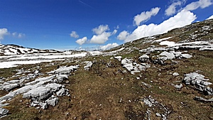 ◈ Charetalp, Urnerboden (Δ 1921m), 2022/05/27 12:41 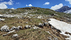 ◈ Charetalp, Urnerboden, 2022/05/27 12:41 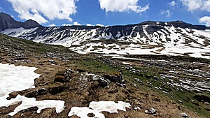 ◈ Charetalp, Urnerboden, 2022/05/27 12:41 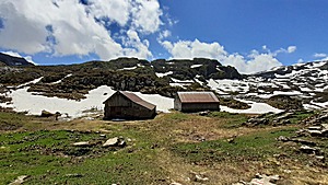 ◈ Robutzli, Muotathal, 2022/05/27 13:15 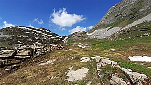 ◈ Robutzli, Muotathal (Δ 1823m), 2022/05/27 13:15 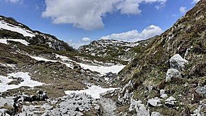 ◈ Robutzli, Muotathal, 2022/05/27 13:22 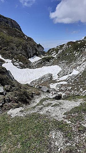 ◈ Robutzli, Muotathal, 2022/05/27 13:24 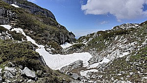 ◈ Robutzli, Muotathal, 2022/05/27 13:24 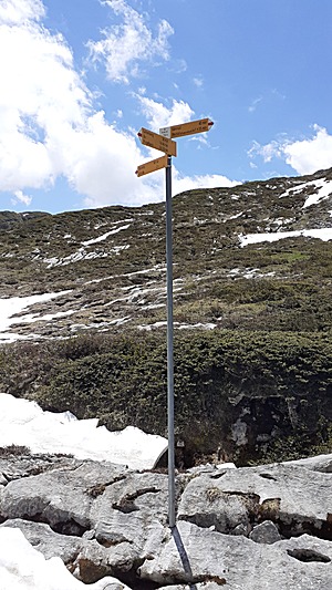 ◈ Robutzli, Muotathal, 2022/05/27 13:24 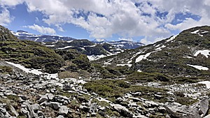 ◈ Robutzli, Muotathal, 2022/05/27 13:32 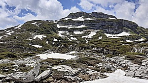 ◈ Robutzli, Muotathal, 2022/05/27 13:32 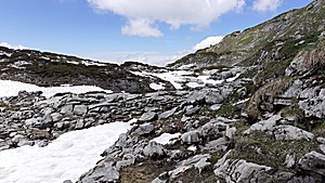 ◈ Robutzli, Muotathal, 2022/05/27 13:32 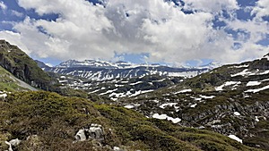 ◈ Geitenberg / Geissprung, Muotathal, 2022/05/27 13:41 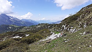 ◈ Geitenberg / Geissprung, Muotathal, 2022/05/27 13:41 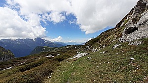 ◈ Geitenberg / Geissprung, Muotathal, 2022/05/27 13:41 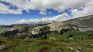 ◈ Geitenberg / Geissprung, Muotathal, 2022/05/27 13:57
Then descend very steep with loose stones toward Raetschental and Hintereste Huetten (1584m), where the next steep ascend comes toward Torloch (1764m), a gap between two boulders - impressive and unique pass.
Eventually reach Torstoeckli and taking the right-hand path passing Spitzibueel, and Oberist Huetten.
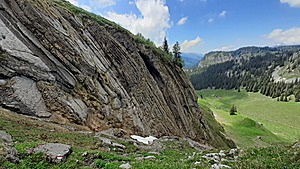 Steep descend with gravel
◈ Geitenberg / Geissprung, Muotathal, 2022/05/27 14:06 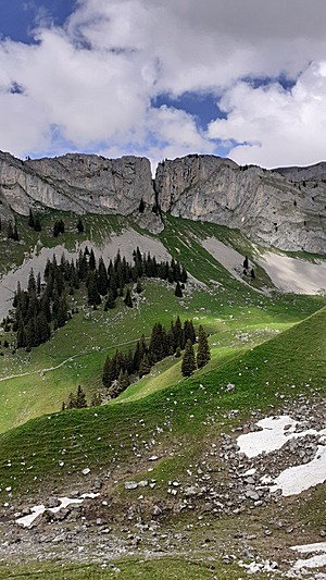 Torloch, a gap between boulders
◈ Geitenberg / Geissprung, Muotathal, 2022/05/27 14:19 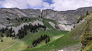 Torloch, a gap between boulders
◈ Geitenberg / Geissprung, Muotathal, 2022/05/27 14:19 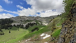 Torloch, a gap between boulders
◈ Geitenberg / Geissprung, Muotathal, 2022/05/27 14:19 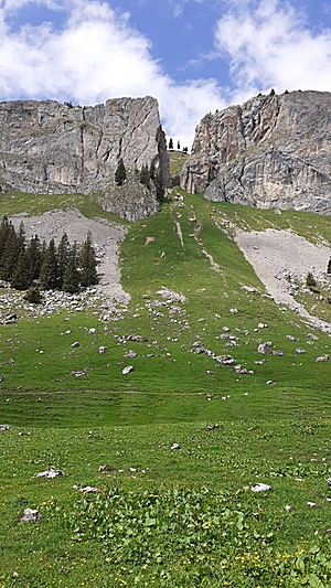 Torloch, a gap between boulders
◈ Rätschtal/Hindersten Hütten, Muotathal (Δ 1623m), 2022/05/27 14:30 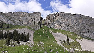 Torloch, a gap between boulders
◈ Rätschtal/Hindersten Hütten, Muotathal, 2022/05/27 14:30 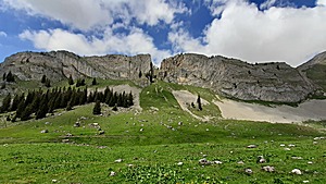 Torloch, a gap between boulders
◈ Rätschtal/Hindersten Hütten, Muotathal, 2022/05/27 14:30 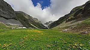 ◈ Rätschtal/Hindersten Hütten, Muotathal, 2022/05/27 14:33 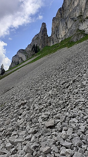 ◈ Rätschtal/Hindersten Hütten, Muotathal, 2022/05/27 14:42 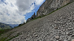 ◈ Rätschtal/Hindersten Hütten, Muotathal, 2022/05/27 14:42 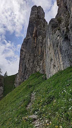 ◈ Rätschtal/Hindersten Hütten, Muotathal, 2022/05/27 14:54 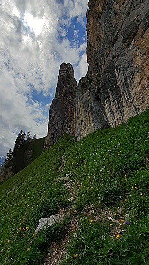 ◈ Rätschtal/Hindersten Hütten, Muotathal, 2022/05/27 14:54 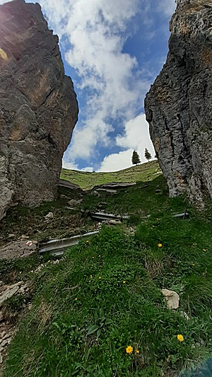 In the Torloch
◈ Rätschtal/Hindersten Hütten, Muotathal, 2022/05/27 14:57 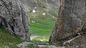 ◈ Rätschtal/Hindersten Hütten, Muotathal, 2022/05/27 15:00 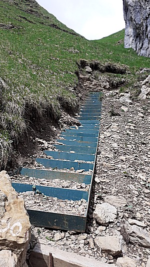 ◈ Rätschtal/Hindersten Hütten, Muotathal, 2022/05/27 15:00 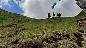 ◈ Rätschtal/Hindersten Hütten, Muotathal, 2022/05/27 15:00 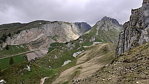 ◈ Rätschtal/Hindersten Hütten, Muotathal, 2022/05/27 15:05 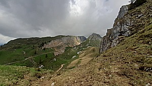 ◈ Rätschtal/Hindersten Hütten, Muotathal, 2022/05/27 15:05 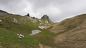 ◈ Muotathal, 2022/05/27 15:12 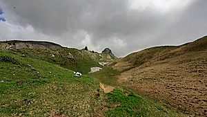 ◈ Muotathal, 2022/05/27 15:12 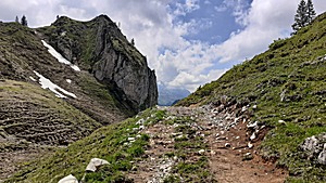 ◈ Muotathal, 2022/05/27 15:12 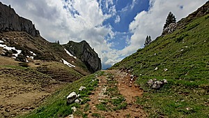 ◈ Muotathal, 2022/05/27 15:12 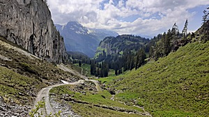 ◈ Muotathal, 2022/05/27 15:16 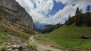 ◈ Muotathal, 2022/05/27 15:16 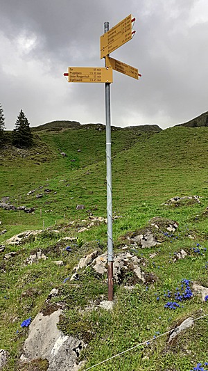 ◈ Muotathal, 2022/05/27 15:20 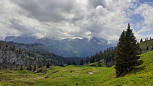 ◈ Muotathal, 2022/05/27 15:23 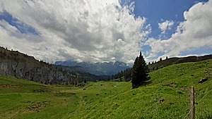 ◈ Muotathal, 2022/05/27 15:23 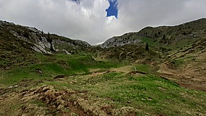 ◈ Tor, Muotathal, 2022/05/27 15:28 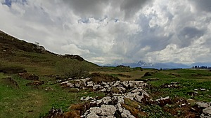 ◈ Muotathal, 2022/05/27 15:50 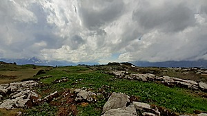 ◈ Muotathal, 2022/05/27 15:50 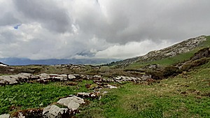 ◈ Muotathal, 2022/05/27 15:50 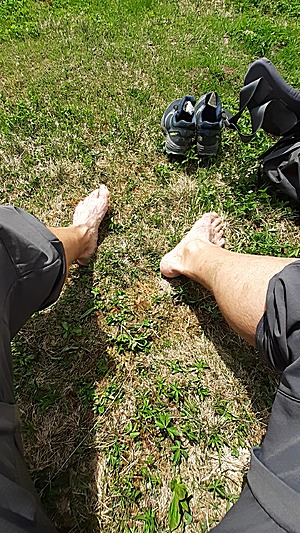 Drying socks, shoes and relaxing the feet
◈ Muotathal, 2022/05/27 16:00
The weather forecast shows temperature drop and rain until noon the next day, so I decide to cut this hike one day shorter, and descend via Roggenstoeckli (1708m) and Staegen (1504m), through beautiful
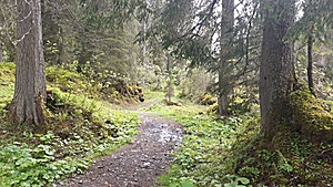
Urwald (loosely translated as "virgin forest" or "old-growth forest") - one of the oldest forests in Europe - and short before Gschwaendhuette (1430m) I find a dry patch where I can pitch my tent aside of the trail around 19:30.
A very long day, and I feel very exhausted after nearly 9hrs hiking today.
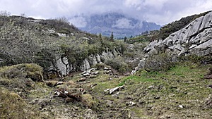 ◈ Muotathal, 2022/05/27 16:54 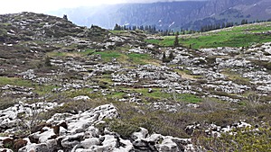 ◈ Muotathal, 2022/05/27 17:02 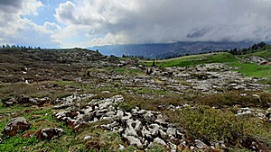 ◈ Muotathal, 2022/05/27 17:02 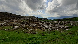 ◈ Muotathal, 2022/05/27 17:07 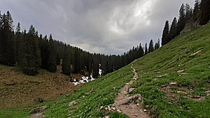 ◈ Muotathal, 2022/05/27 18:24 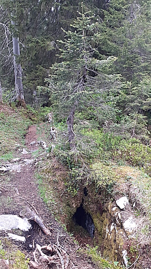 ◈ Muotathal (Δ 1616m), 2022/05/27 18:42 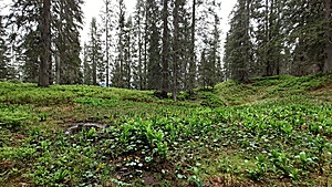 ◈ Stägen, Muotathal, 2022/05/27 18:47 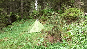 ◈ Muotathal (Δ 1527m), 2022/05/27 19:37 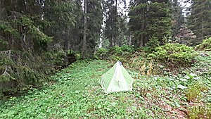 ◈ Muotathal, 2022/05/27 19:38
Sidenote: once I reached different stone formations - karstic formations to be precise - there are no small streams of water anymore, the water simply sinks into the ground - hardly a place to refill the water bottles; from plenty water sources in the morning, to water scarcity in the afternoon - one really needs to observe nature closely.
Sometime after midnight rains start to dribble on the tent, and last until 9:00 - when it slowly fades.
I pack the wet tent, and descend further through the "Boedmerewald" - just a beautiful forest - via Plaetsch (1413m), Mittlist Weid (1220m), Ober- and Unterfedli (1014m), and then walk on asphalt near Hoellloch (720m), and reach Muotothal village (650m), where this hike ends just around noon.
 ◈ Egliswald, Muotathal (Δ 1440m), 2022/05/28 10:44 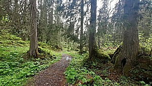 ◈ Egliswald, Muotathal, 2022/05/28 10:45  ◈ Egliswald, Muotathal (Δ 1449m), 2022/05/28 10:45  ◈ Egliswald, Muotathal (Δ 1449m), 2022/05/28 10:46 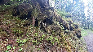 ◈ Egliswald, Muotathal, 2022/05/28 10:46 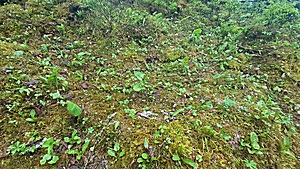 ◈ Egliswald, Muotathal (Δ 1429m), 2022/05/28 10:47 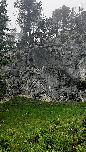 ◈ Muotathal, 2022/05/28 11:08 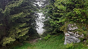 ◈ Muotathal, 2022/05/28 11:08 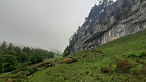 ◈ Muotathal, 2022/05/28 11:11 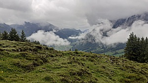 ◈ Stalden, 2022/05/28 11:23 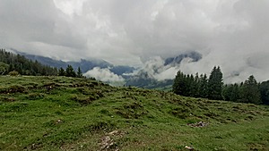 ◈ Muotathal, 2022/05/28 11:23 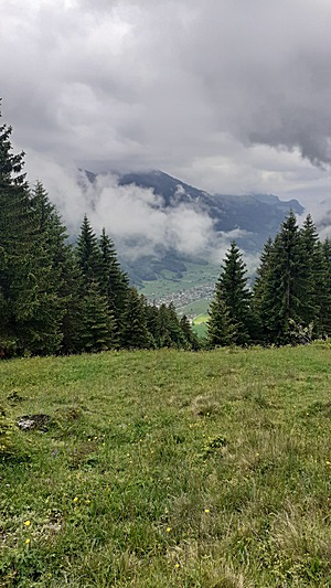 ◈ Stalden, 2022/05/28 11:26 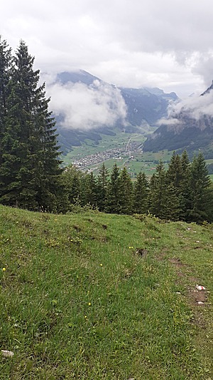 View to Muotathal (village)
2022/05/28 11:27 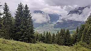 View to Muotathal (village)
◈ Stalden, 2022/05/28 11:27 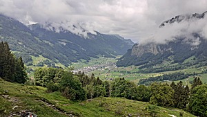 View to Muotathal (village)
◈ Stalden, 2022/05/28 11:43 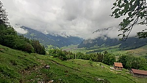 ◈ Stalden, 2022/05/28 11:43  ◈ Stalden (Δ 989m), 2022/05/28 11:56 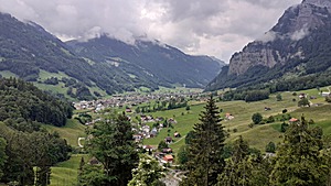 ◈ Stalden, 2022/05/28 12:07  ◈ Stalden, 2022/05/28 12:39
That's it.
Next Page >>
Content: - Page 1: Highlights, 3 Days Hike April 2022: Zofingen - Sursee - Root, Thursday 2022/04/14: Zofingen - Sursee (20km) ...
- Page 2: 2 Days Hike May 2022: Gotschalkenberg (Zug), Saturday 2022/05/14: Morgarten - Raten - Gotschalkenberg ...
- Page 3: 2 Days Hike May 2022: Gnipen (Zug), Saturday 2022/05/21: Zug - Zugerberge - Gnipen - Wildspitz - Chaiserstock ...
- Page 4: 3 Days Hike May 2022: Ruosalp - Glattalp - Boedmeren (Muotathal), Thursday 2022/05/26: Urigen - Ruosalp Chulm (2177m) - Glattalp ...
- Page 5: 2 Days Hike June 2022: Einsiedeln - Furggelenstock - Mythen - Näbekenfirst - Biberbrugg ...
- Page 6: 2 Days Hike June 2022: Ibergeregg - Saaspass - Pragelpass - Muotathal, Saturday June 11, 2022: Ibergeregg - Saaspass ...
- Page 7: 2 Days Hike June 2022: Hospental - Gatscholalücke - St. Gotthardpass - Hospental ...
- Page 8: 2 Days Ride June 2022: Zug - Sursee - Huttwil - Lützelflüh - Langnau i. E. - Wolhusen - Lucerne - Zug ...
- Page 9: 2 Days Hike July 2022: Unterschächen - Klausenpass - Fisetenpass - Linthal, Saturday July 2, 2022: Unterschächen - Hütten - Chammli (2054m) - Klausenpass (1948m) - Follen (2080m) ...
- Page 10: 2 Days Hike July 2022: Wassen - Sustenpass - Innertkirchen, Saturday July 9, 2022: Wassen - Sustenpass ...
- Page 11: 2 Days Hike July 2022: Weglosen - Pfannenstöckli - Unteriberg, Saturday July 16, 2022: Weglosen - Pfannenstöckli ...
- Page 12: 2 Days Hike July 2022: Euthal - Fläschlipass - Sattelegg - Egg - Einsiedeln, Saturday July 23, 2022: Euthal - Fläschlipass ...
- Page 13: 2 Days Hike July 2022: Innerthal (Wäggital) - Schwialppass - Pragelpass - Muotathal ...
- Page 14: 2 Days Hike August 2022: Urdorf - Uetliberg - Albispass - Baar aka Albisridge Trail ...
- Page 15: 2 Days Hike August 2022: Roggen (Oensingen) - Hauenstein - Staffelegg (Aarau), Sunday August 21, 2022: Roggen (1000m) - Hauenstein (674m) ...
- Page 16: 2 Days Hike August 2022: Frick - Wasserflue - Aarau - Boniswil, Saturday August 27, 2022: Frick (344m) - Wasserflue (866m) ...
- Page 17: 1 Day Hike September 2022: Lenzburg - Sins, Sunday September 4, 2022: Lenzburg - Sins (~30km) ...
|


